Skip to Content
maps
etc
stockists
contact
Mitchell Geography
0
0
maps
etc
stockists
contact
Mitchell Geography
0
0
maps
etc
stockists
contact
map shop Ski Areas of Idaho (19 in x 13 in)
Ski Areas of Idaho Map Image 1 of 3
Ski Areas of Idaho Map
Ski Areas of Idaho Map Image 2 of 3
Ski Areas of Idaho Map
Ski Areas of Idaho Map Image 3 of 3
Ski Areas of Idaho Map

Ski Areas of Idaho (19 in x 13 in)

$24.00
Sold Out

1: 34,000

13 inch by 19 inch flat wall map, printed on heavy fine paper. Packed and shipped flat.

Ski Areas of Idaho. Comparative taxonomic style graphic of Idaho’s 18 ski areas. Little bits of ski area information included, average annual snowfall, vertical drop and skiable acreage (as conveyed by resorts, in some cases it would seem this statistic references lift served acreage). Location map included. (Yes to Grand Targhee).

Add To Cart

1: 34,000

13 inch by 19 inch flat wall map, printed on heavy fine paper. Packed and shipped flat.

Ski Areas of Idaho. Comparative taxonomic style graphic of Idaho’s 18 ski areas. Little bits of ski area information included, average annual snowfall, vertical drop and skiable acreage (as conveyed by resorts, in some cases it would seem this statistic references lift served acreage). Location map included. (Yes to Grand Targhee).

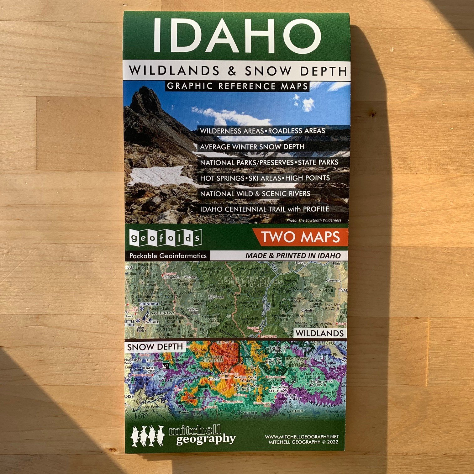
Idaho Wildlands and Snow Depth (GEOFOLD)
$5.95

1: 34,000

13 inch by 19 inch flat wall map, printed on heavy fine paper. Packed and shipped flat.

Ski Areas of Idaho. Comparative taxonomic style graphic of Idaho’s 18 ski areas. Little bits of ski area information included, average annual snowfall, vertical drop and skiable acreage (as conveyed by resorts, in some cases it would seem this statistic references lift served acreage). Location map included. (Yes to Grand Targhee).
You Might Also Like

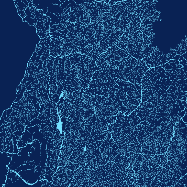
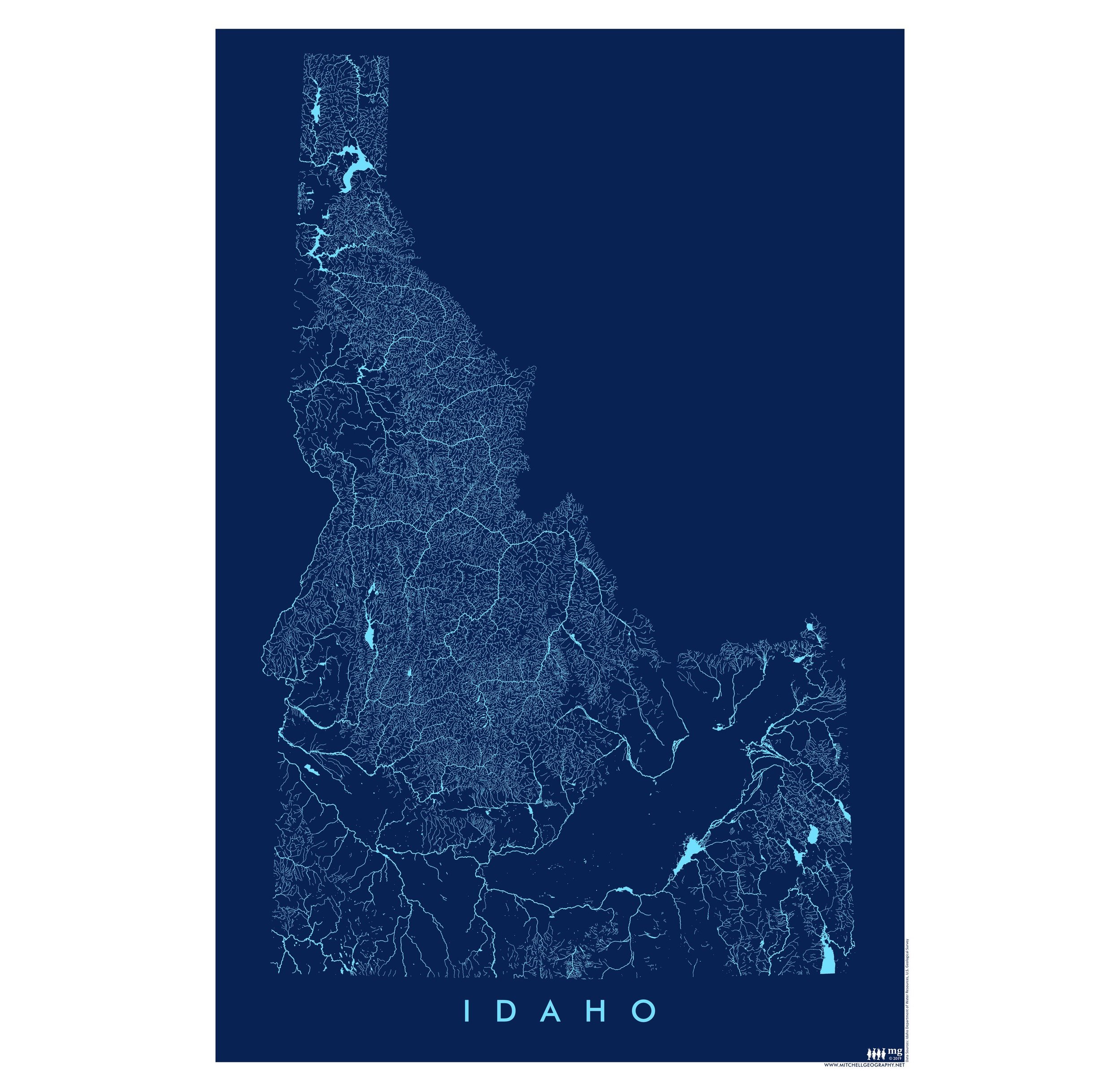
Idaho Rivers (19 in x 13 in) Idaho Rivers Map Idaho Rivers Map
Idaho Rivers (19 in x 13 in)
$24.00
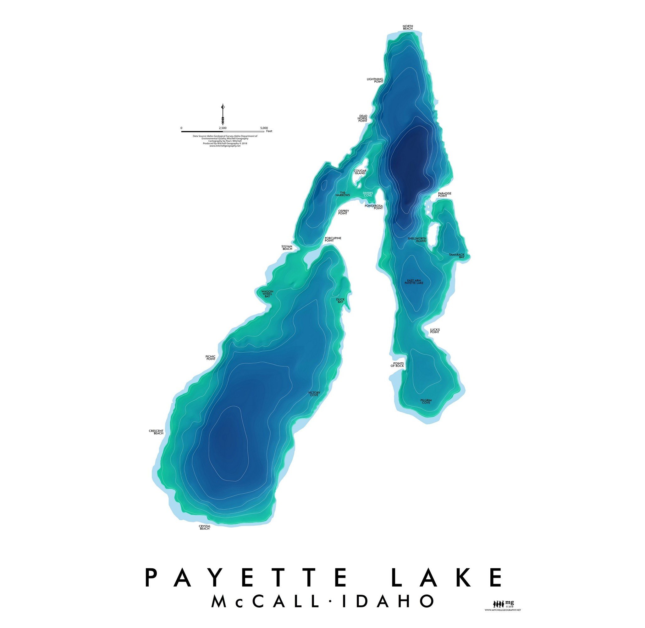
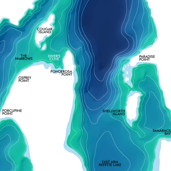
Payette Lake (19 in x 13 in) Payette Lake McCall Idaho Map Payette Lake McCall Idaho Map
Payette Lake (19 in x 13 in)
$24.00
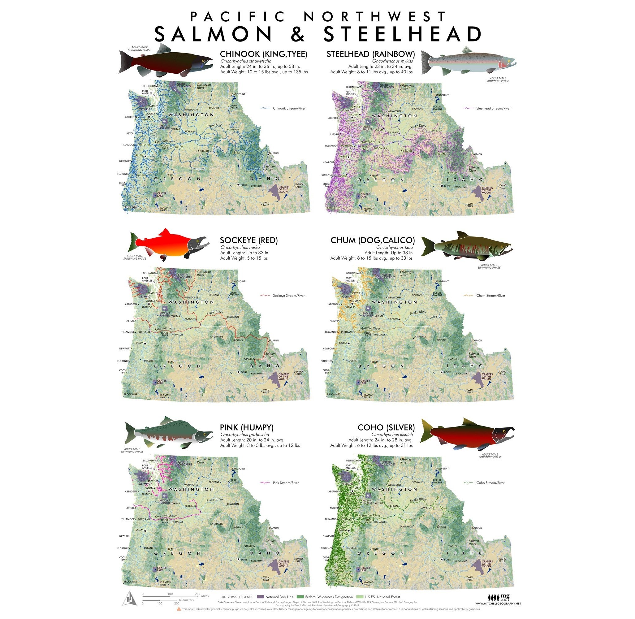
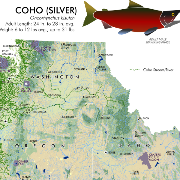
Pacific Northwest Salmon & Steelhead Pacific Northwest Salmon Distribution Extent Map Pacific Northwest Salmon extent distribution map
Pacific Northwest Salmon & Steelhead
from $24.00
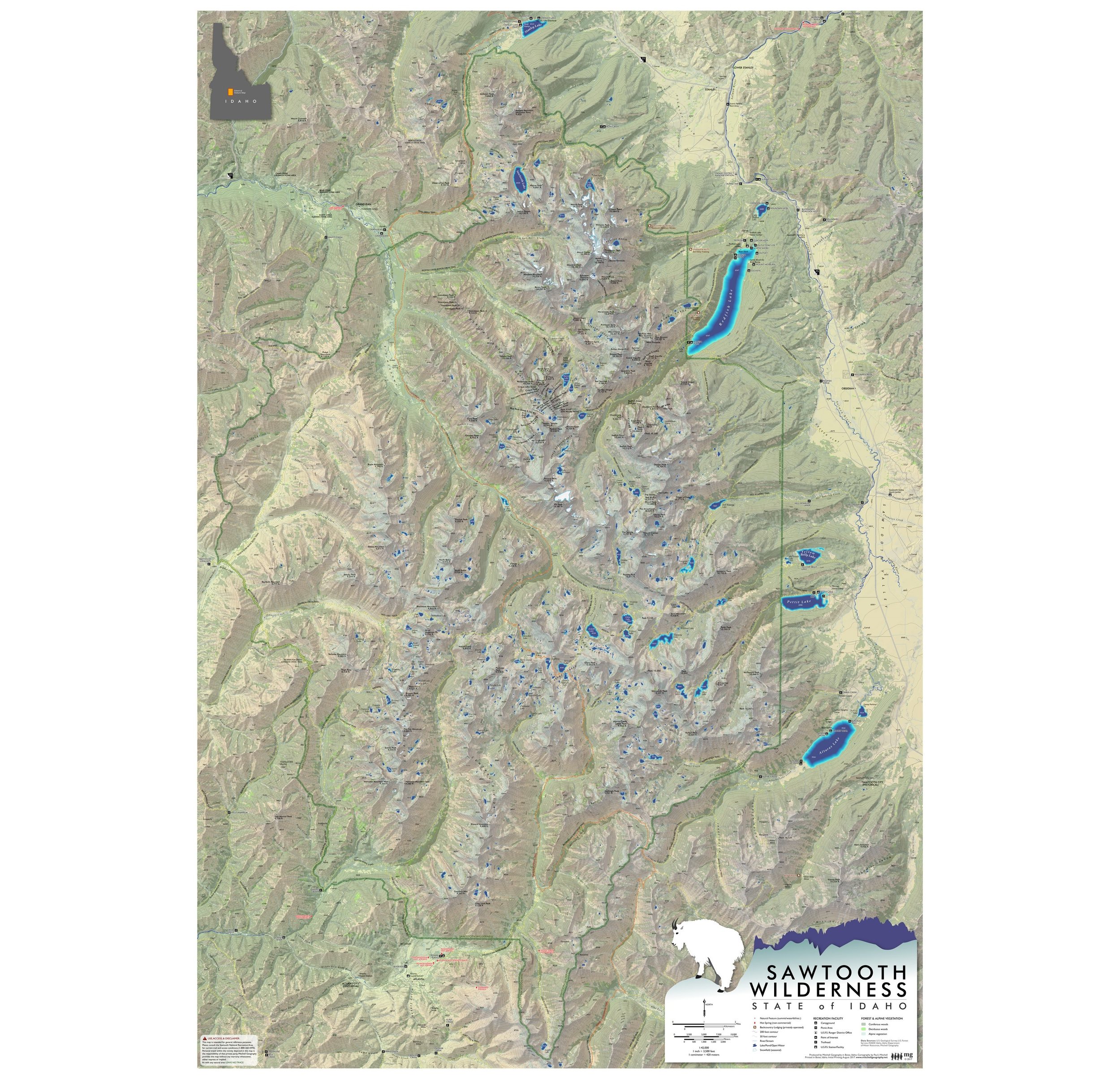
Sawtooth Wilderness Idaho (36 in x 52 in) DIGITAL DOWNLOAD Sawtooth Mountains Idaho Wilderness Area Map Large Format Idaho Art Sawtooth Mountains Idaho Wilderness Area Map Large Format Idaho Art Sawtooth Mountains Idaho Wilderness Area Map Large Format Idaho Art Sawtooth Mountains Idaho Wilderness Area Map Large Format Idaho Art Sawtooth Mountains Idaho Wilderness Area Map Large Format Idaho Art Sawtooth Mountains Idaho Wilderness Area Map Large Format Idaho Art
Sawtooth Wilderness Idaho (36 in x 52 in) DIGITAL DOWNLOAD
$20.00
Idaho (24 in x 20 in) Idaho State Map General Reference Idaho State Map General Reference Idaho State Map General Reference Idaho State Map General Reference
Idaho (24 in x 20 in)
$34.00
Sold Out

© Mitchell Geography 2013 - 2025