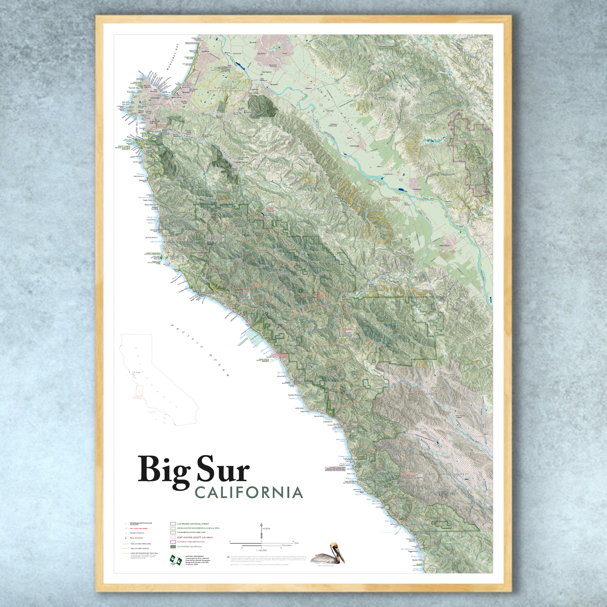
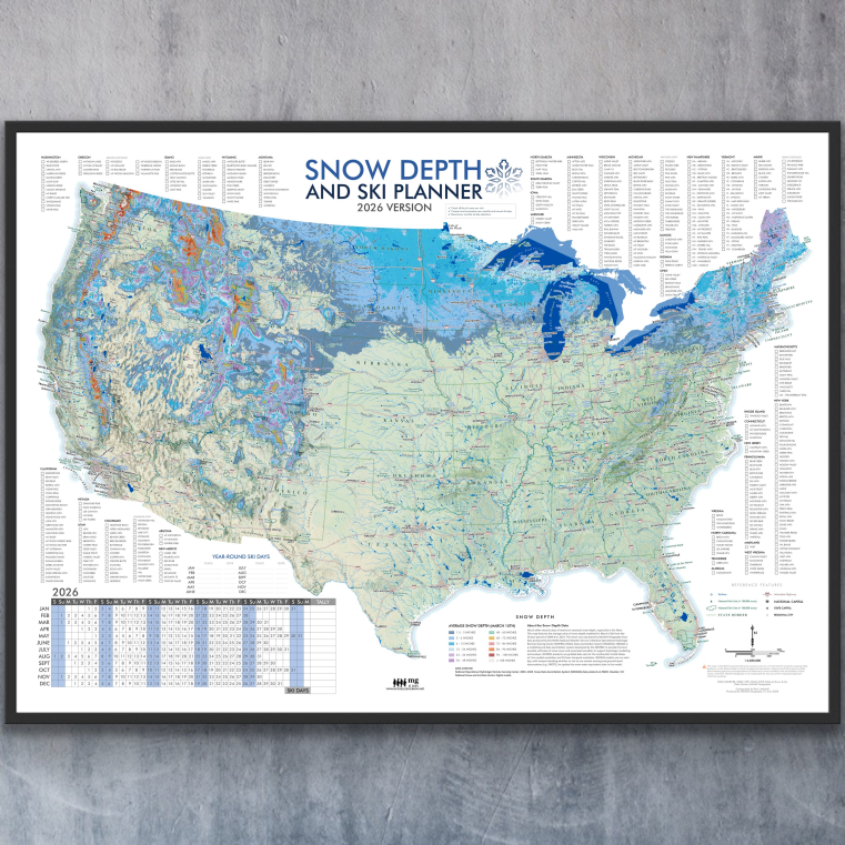
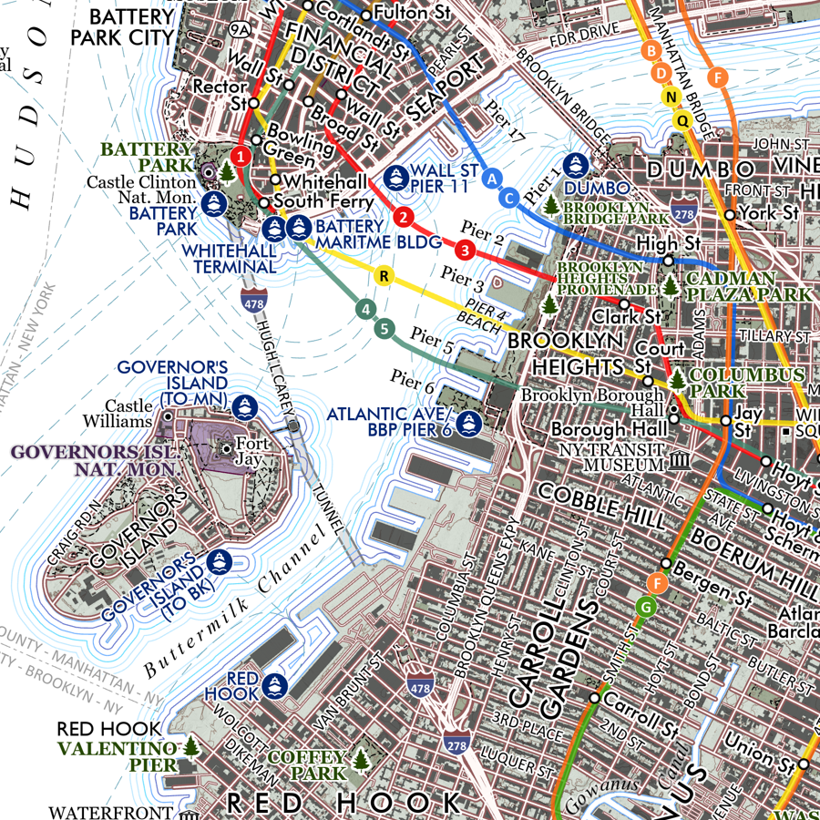
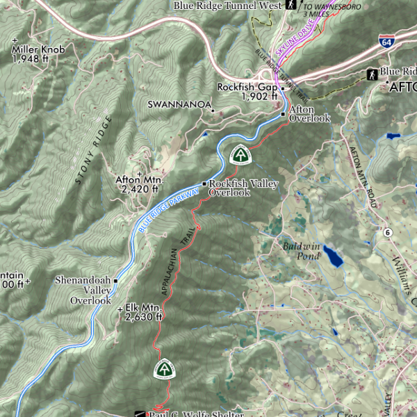
Image 1 of 3
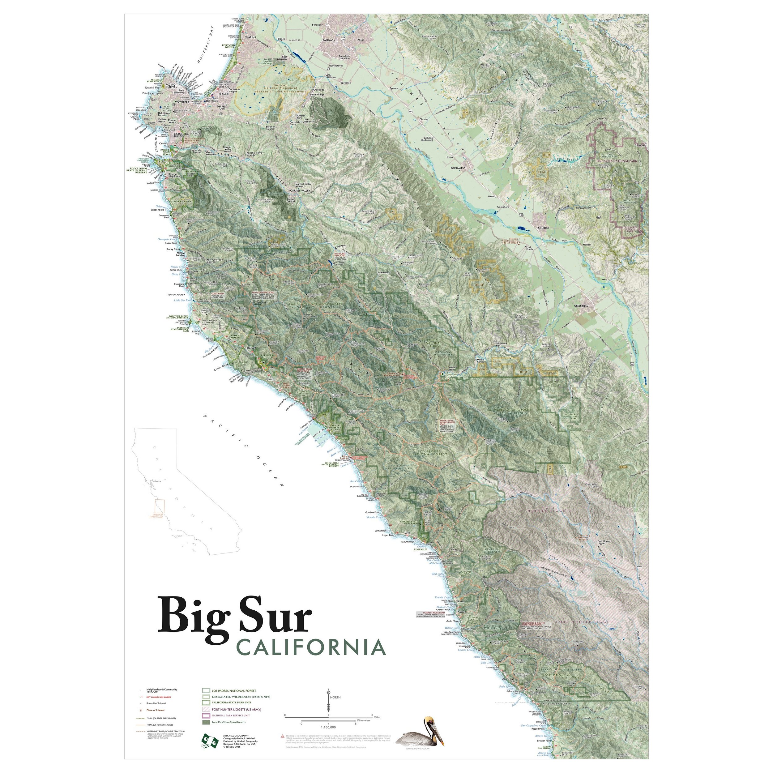
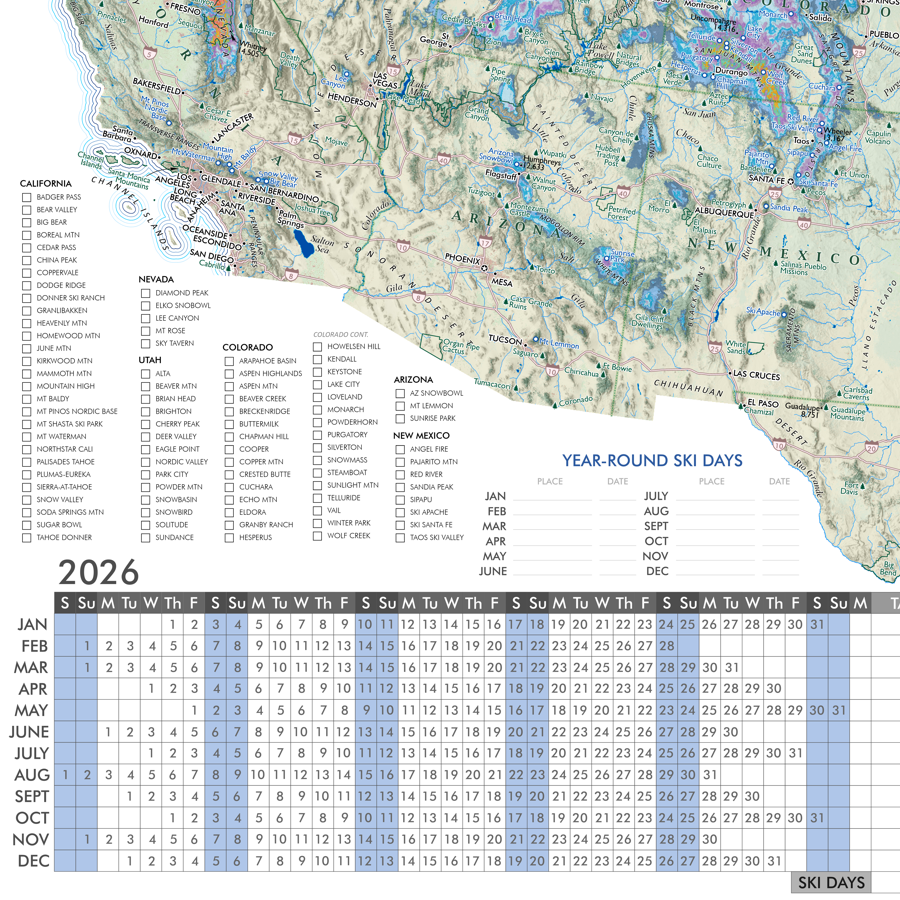
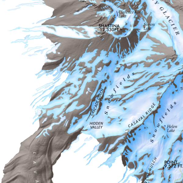
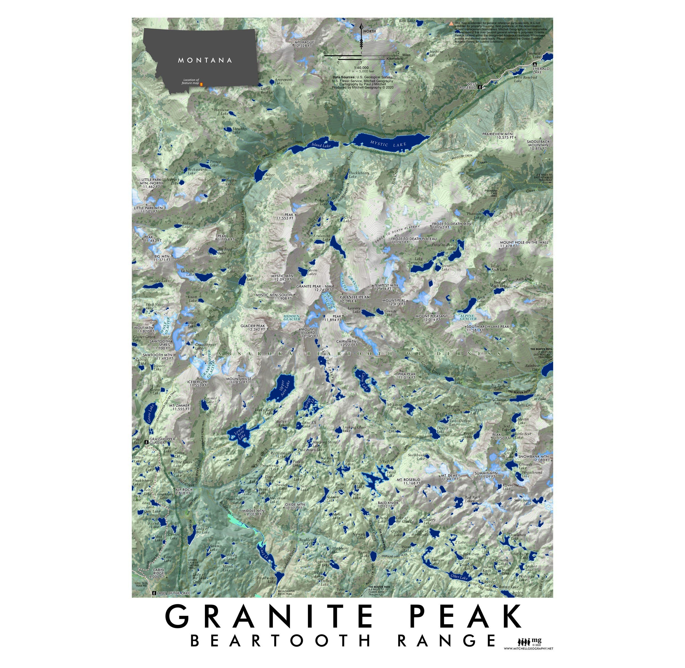 Image 2 of 3
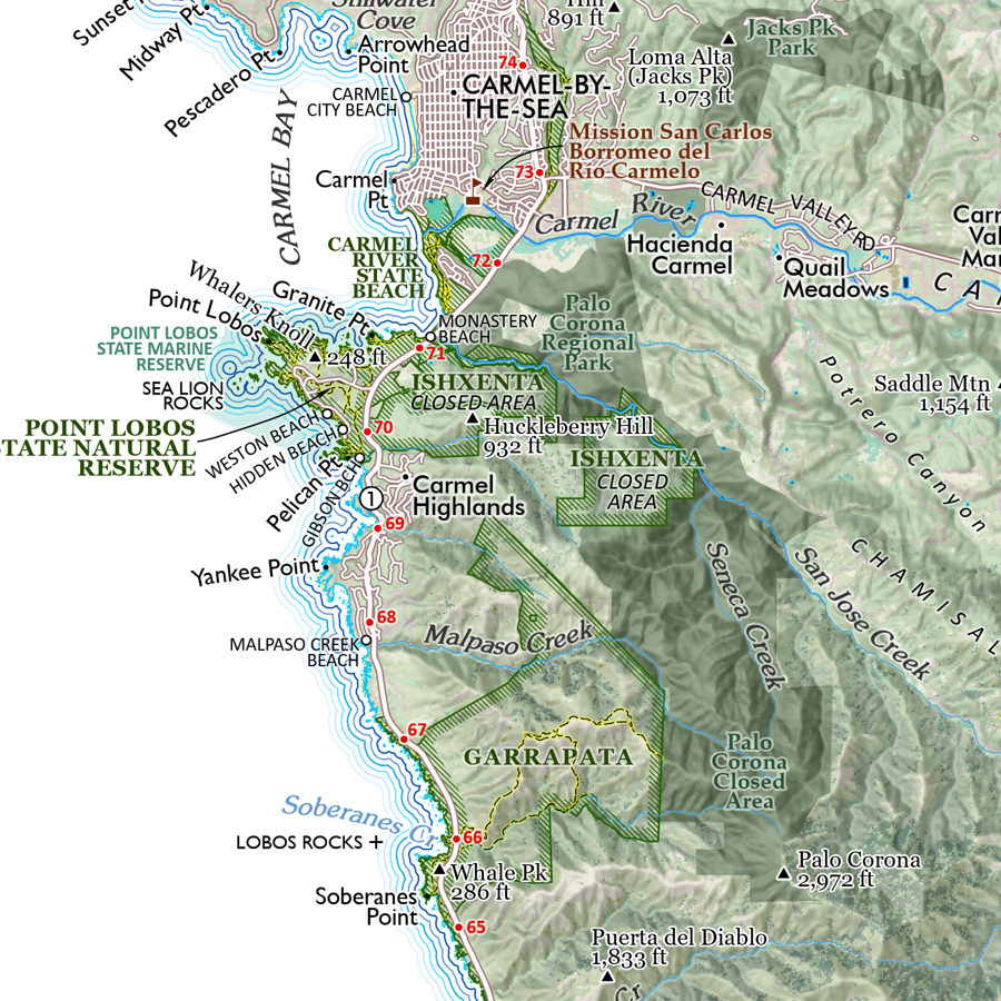
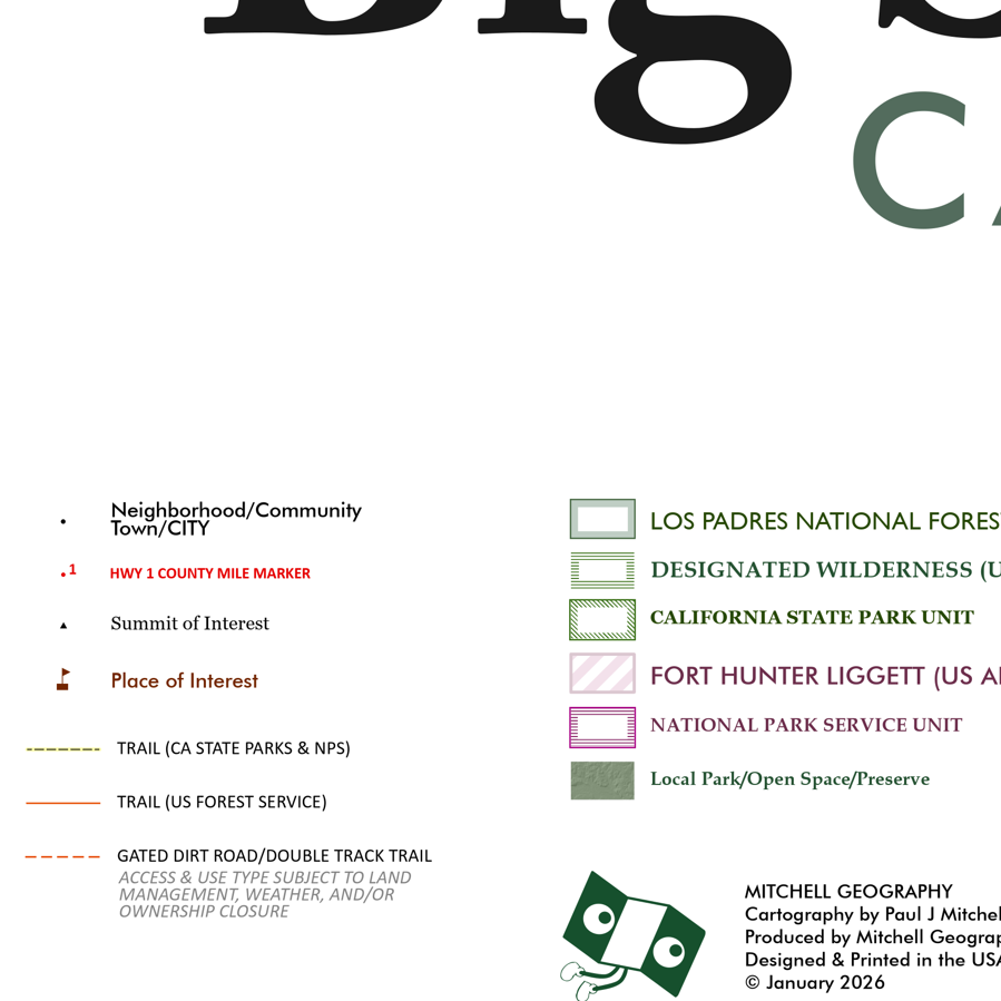
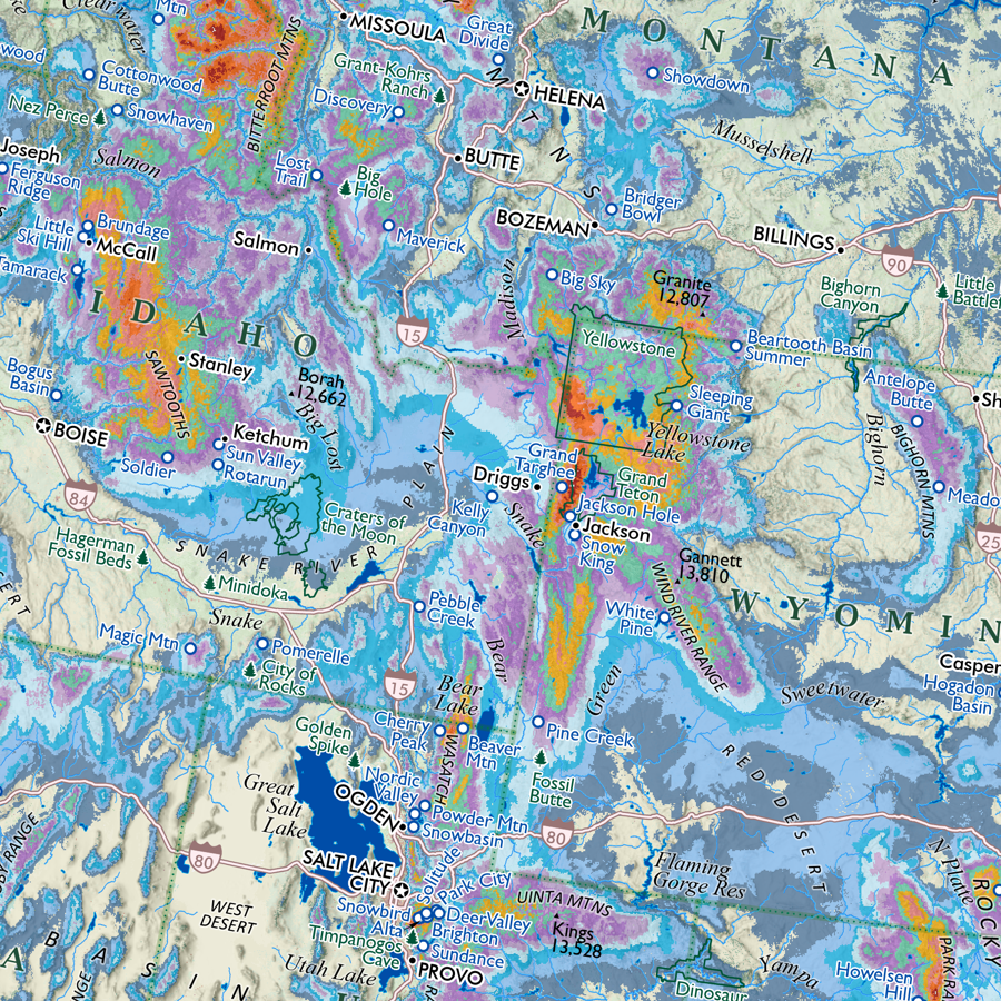
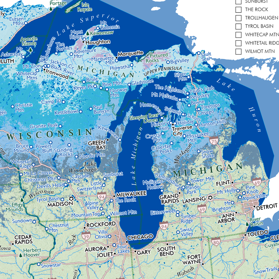
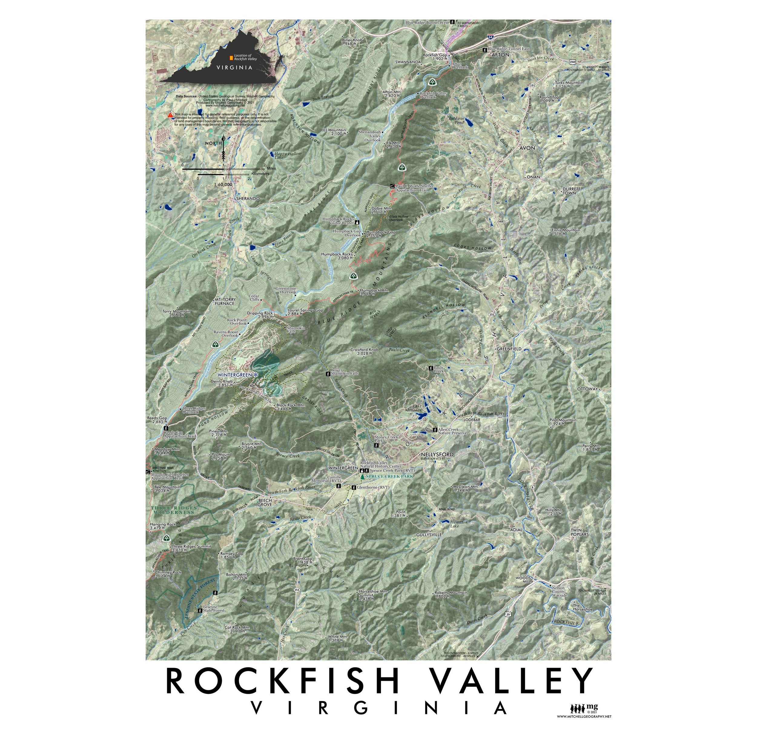
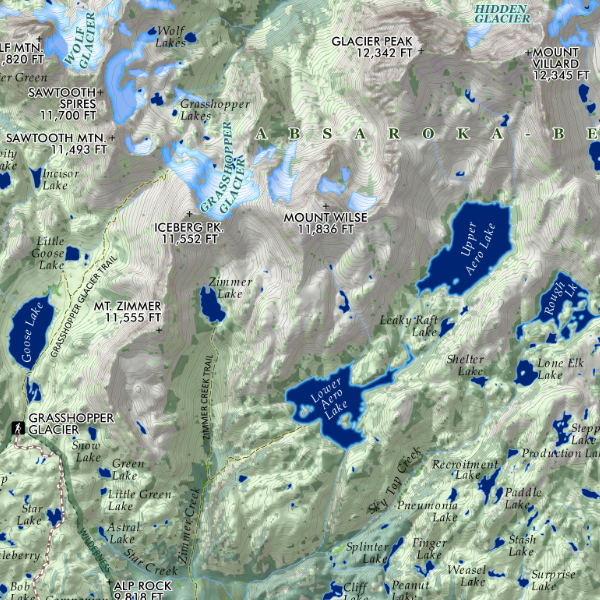 Image 3 of 3
1:60,000
13 inch by 19 inch flat wall map, printed on heavy fine paper. Packed and shipped flat.
Granite Peak, Montana. Feature vicinity map featured around Granite Peak, Montana’s highest summit. Surrounding terrain includes the approaches to Granite, the adjacent alpine plateau of the Beartooth Range, many of the Beartooth lakes and the higher 15 mile section of the Beaten Path.