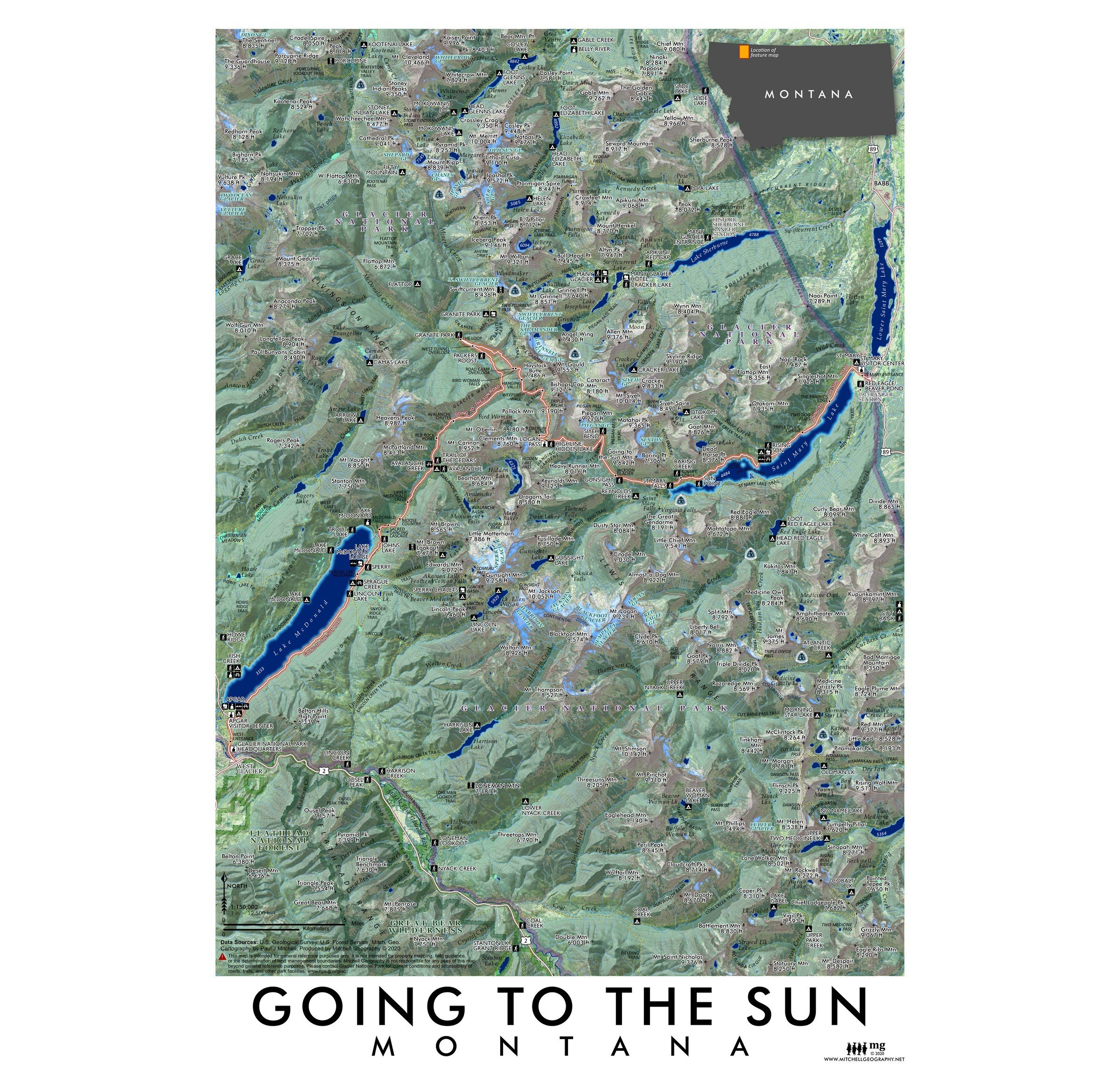
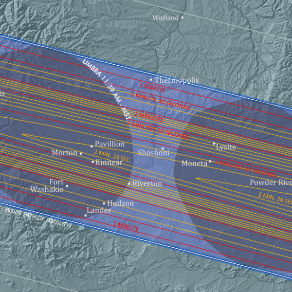
 Image 1 of 3
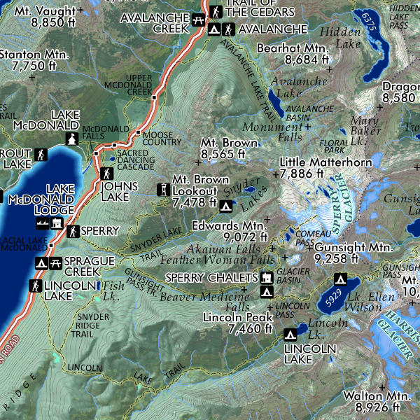
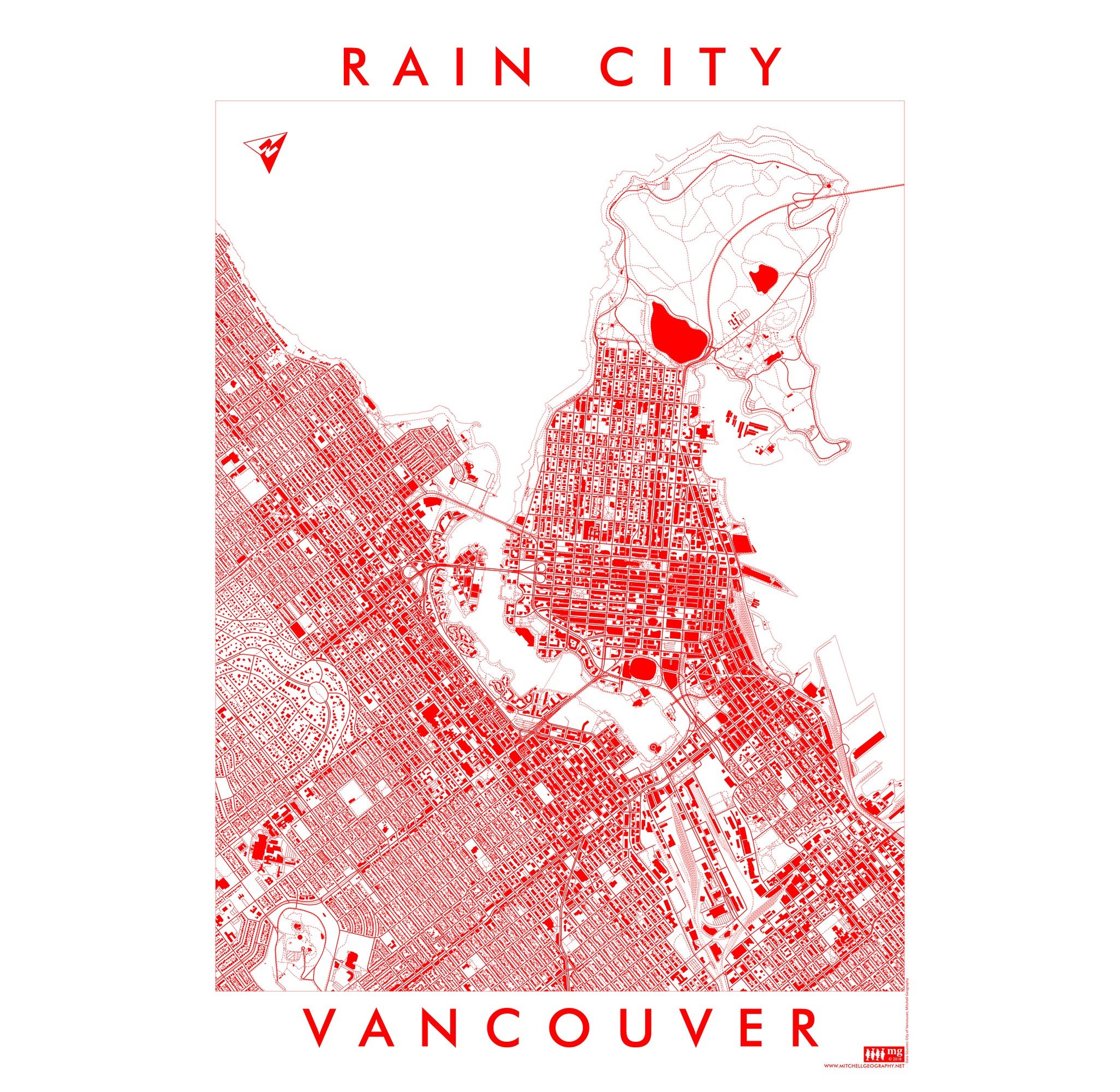
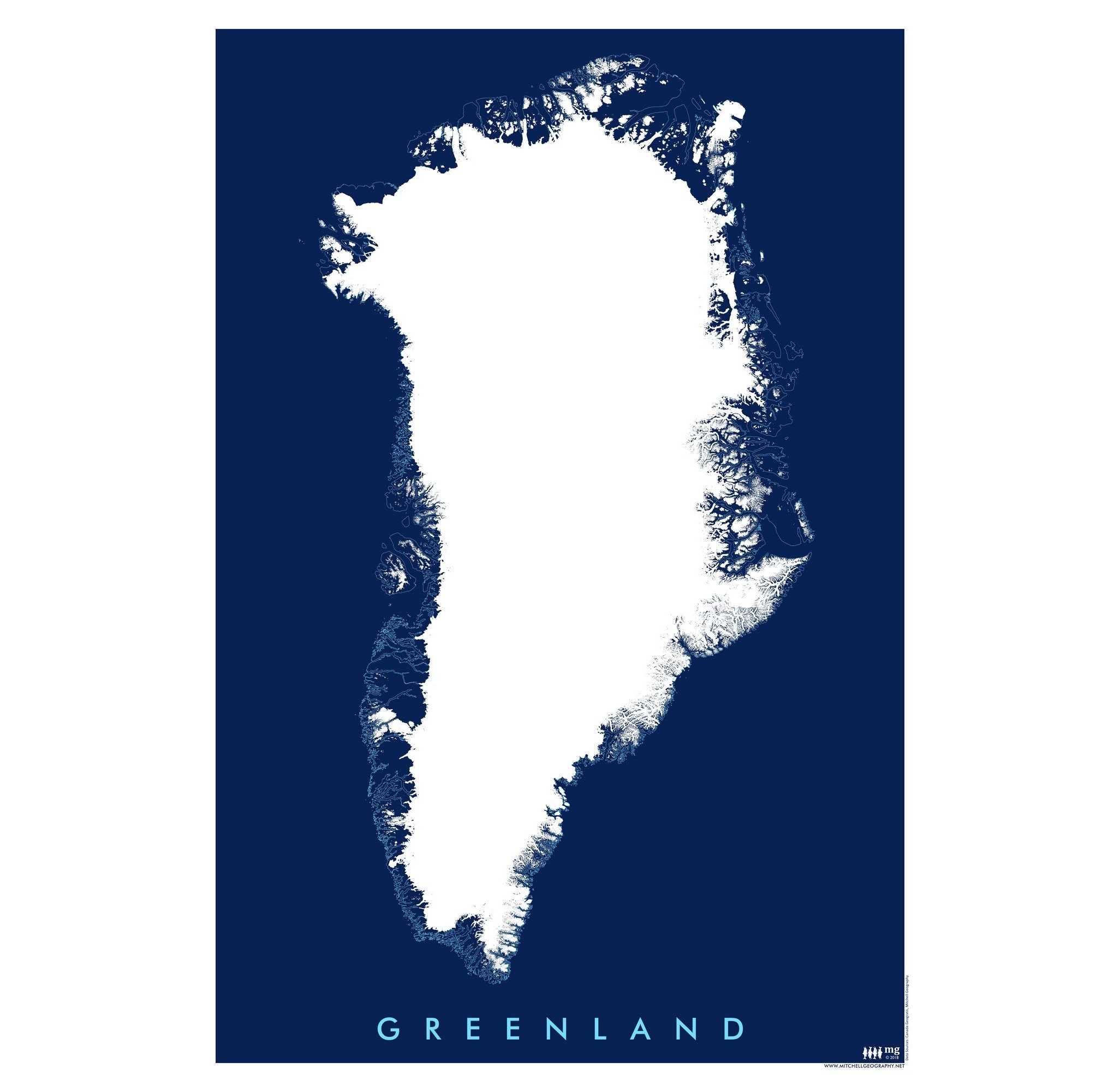 Image 2 of 3
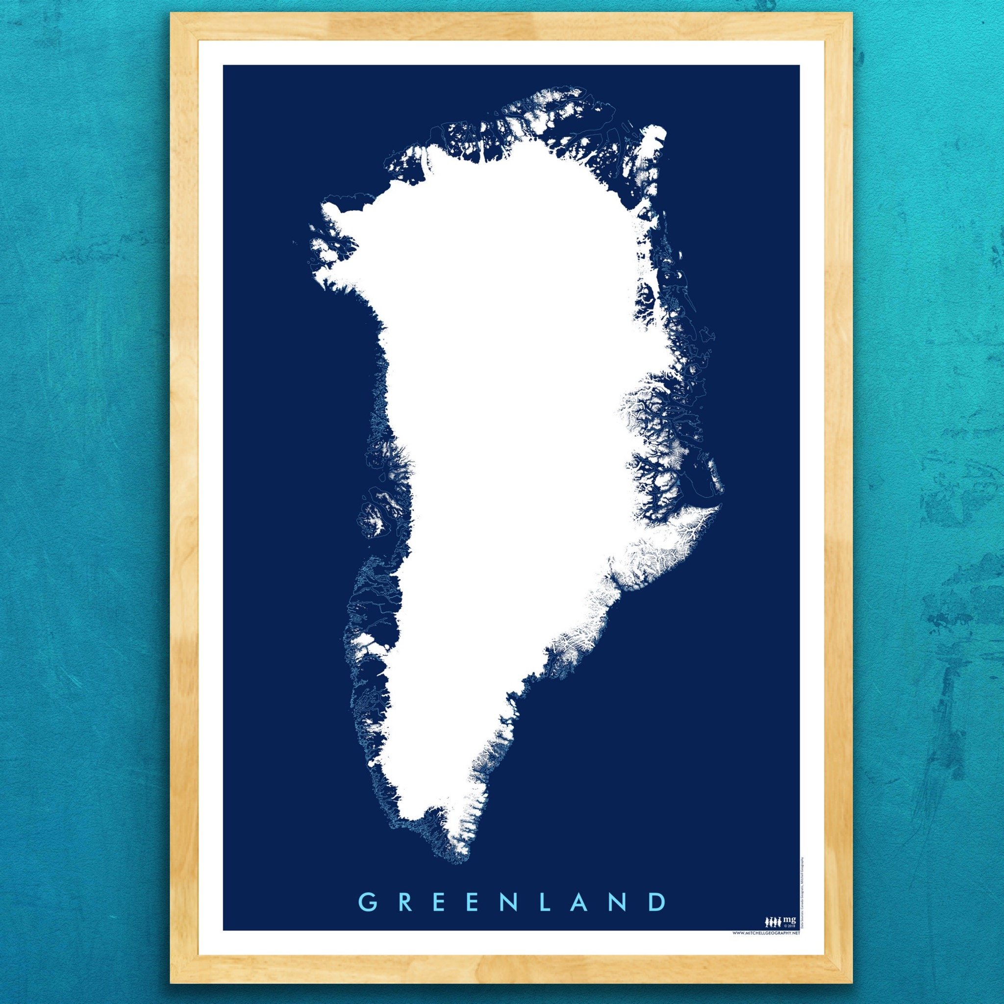
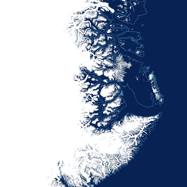 Image 3 of 3
13 inch by 19 inch flat wall map, printed on heavy fine paper. Packed and shipped flat.
Greenland. Blue monochrome graphic art style map print featuring the coastline and glacial ice sheet extent.
13 inch by 19 inch flat wall map, printed on heavy fine paper. Packed and shipped flat.
Greenland. Blue monochrome graphic art style map print featuring the coastline and glacial ice sheet extent.