13 inches wide x 19 inches long
1:1,760,000
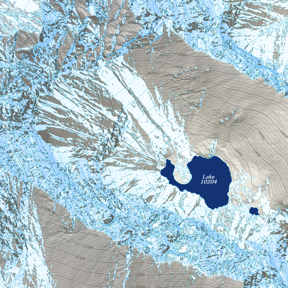
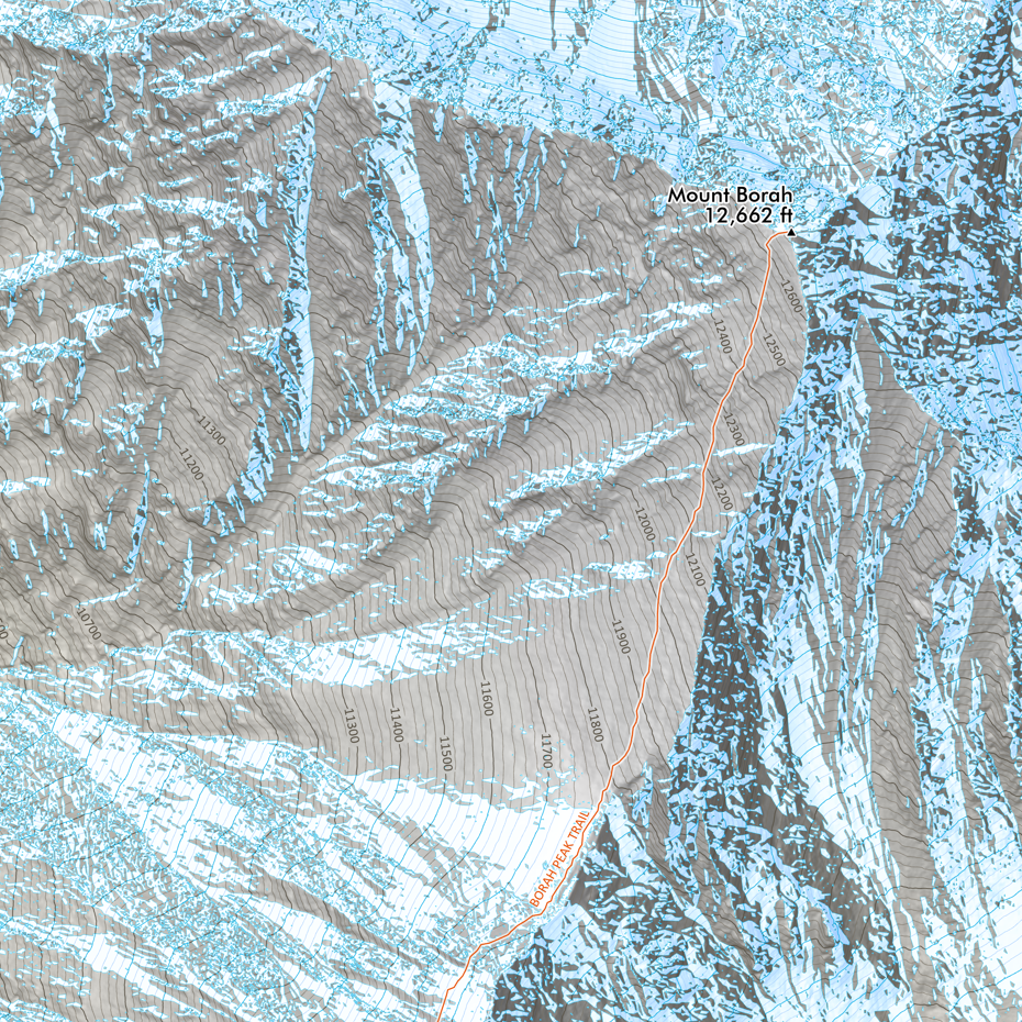
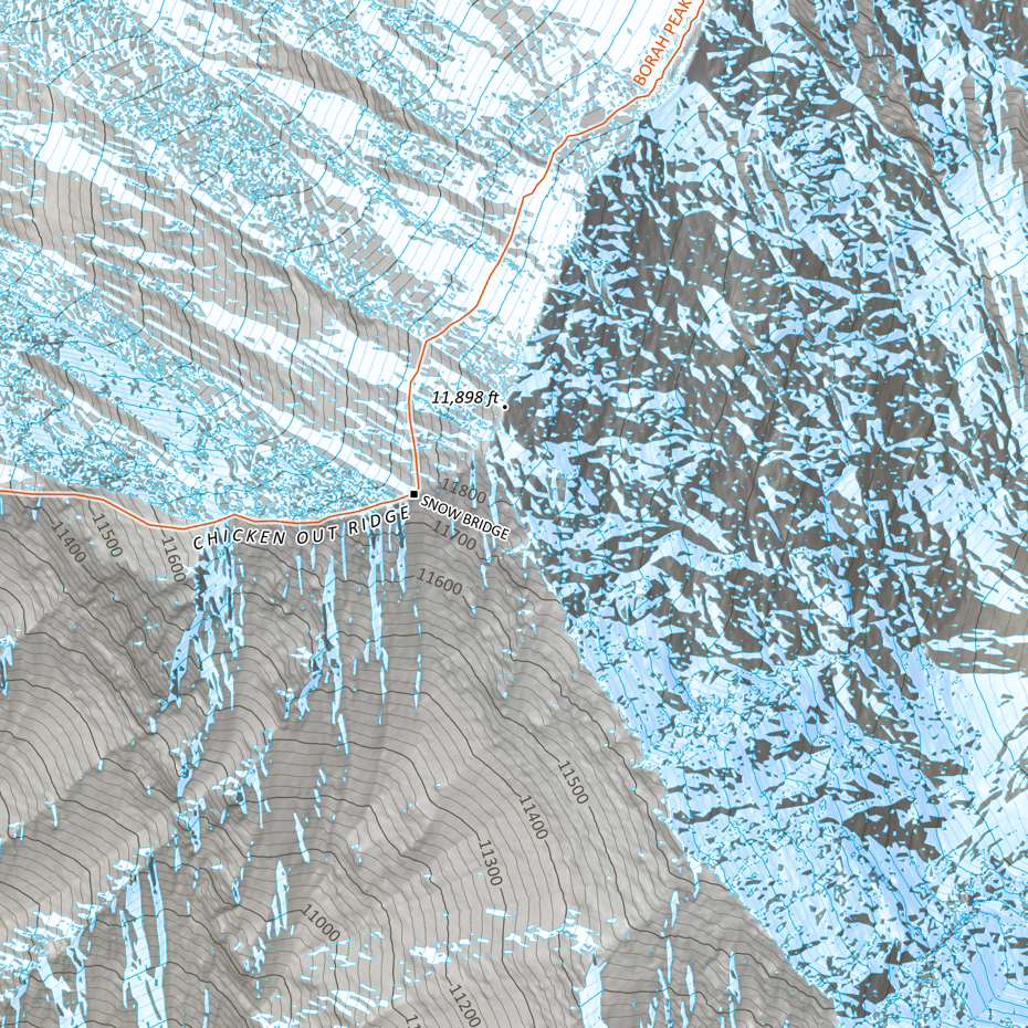
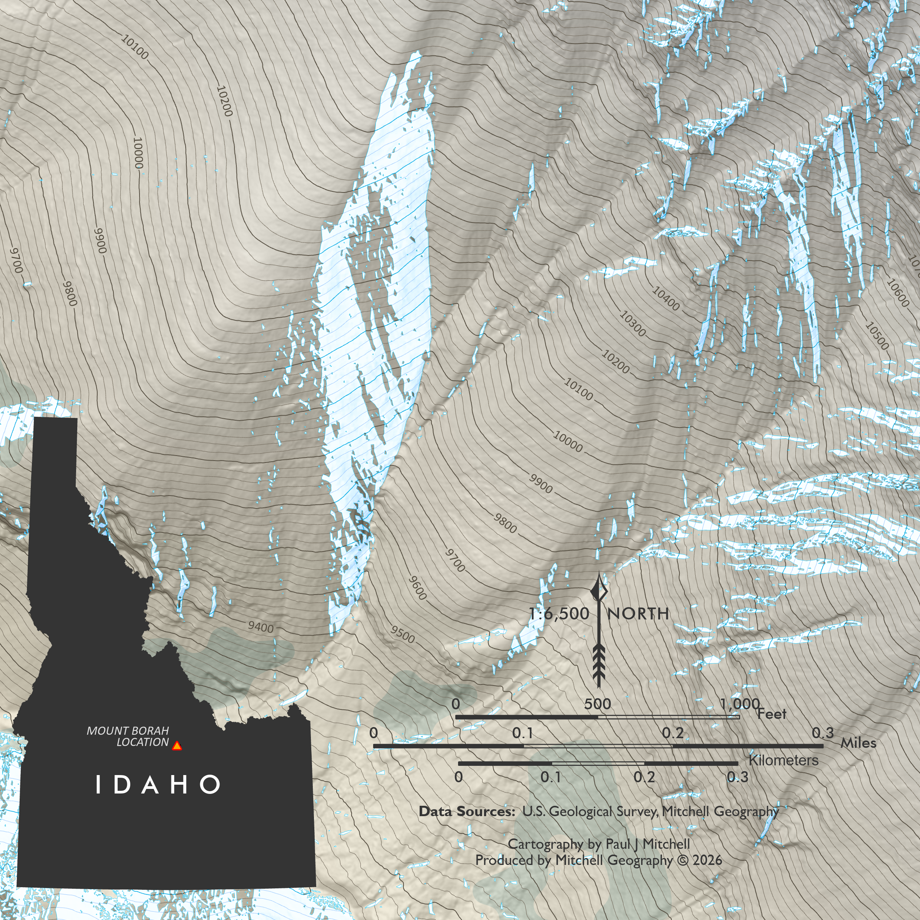
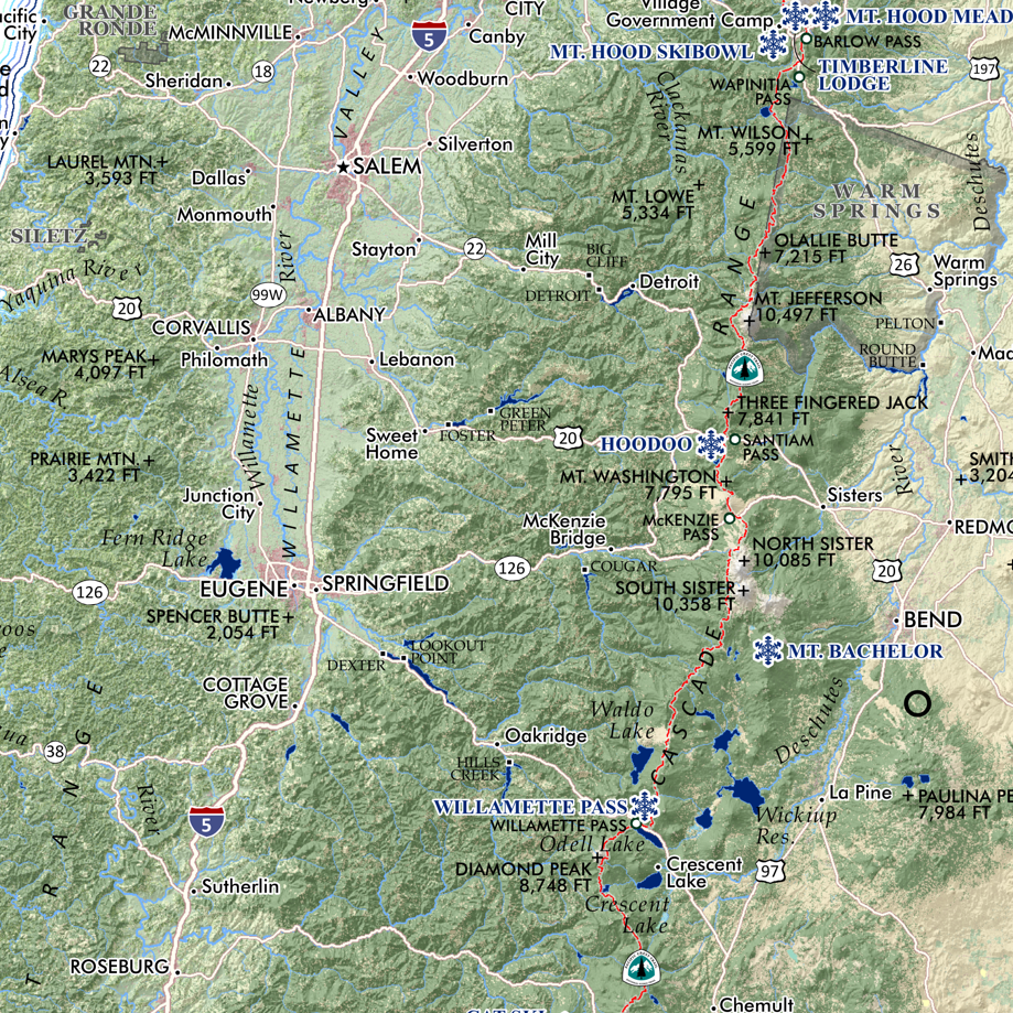
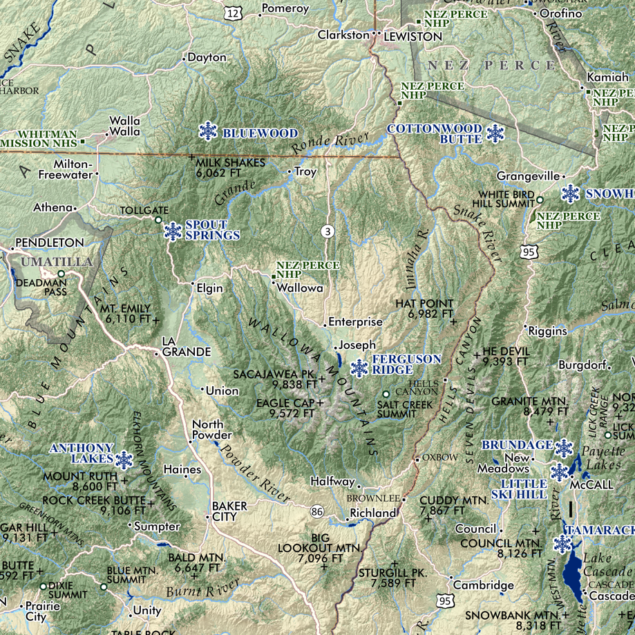
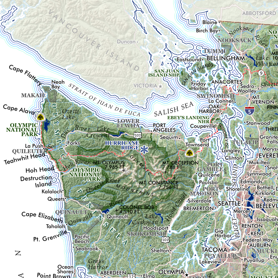
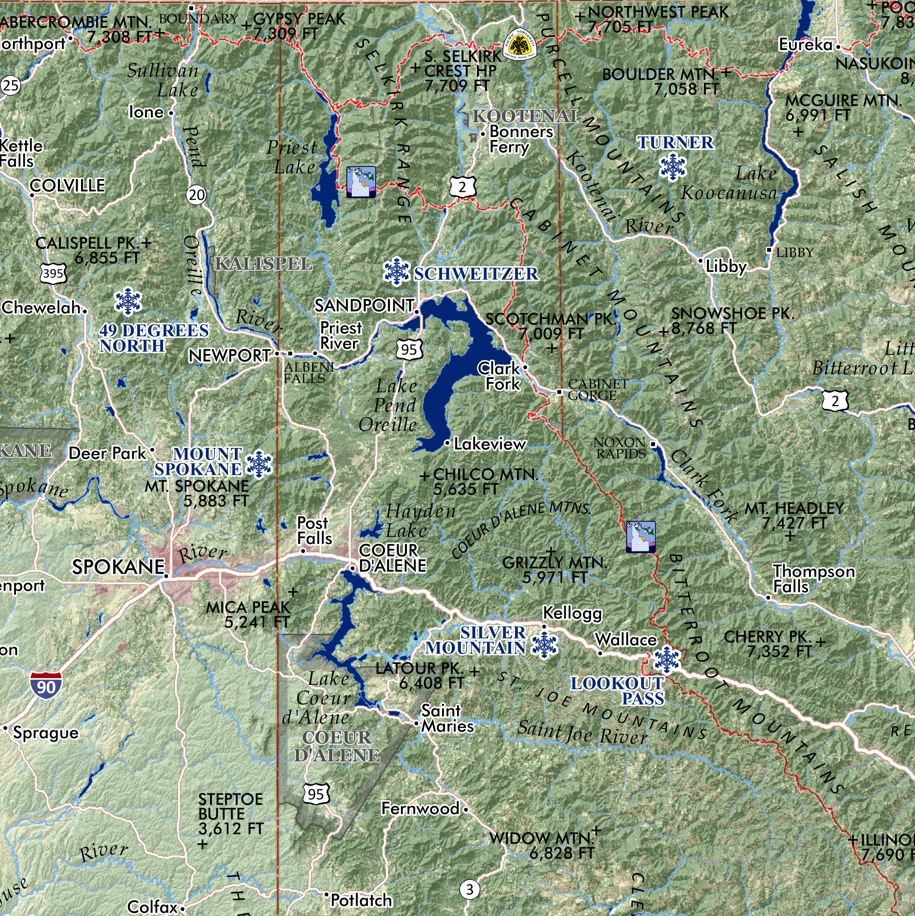
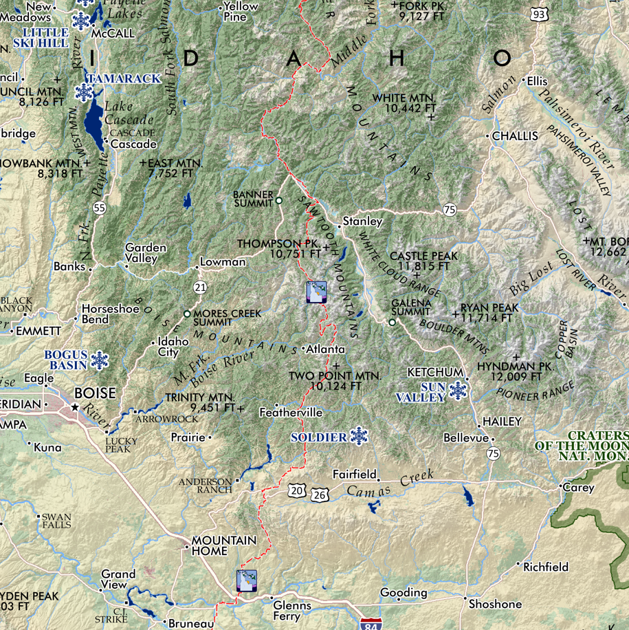
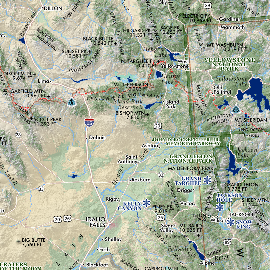
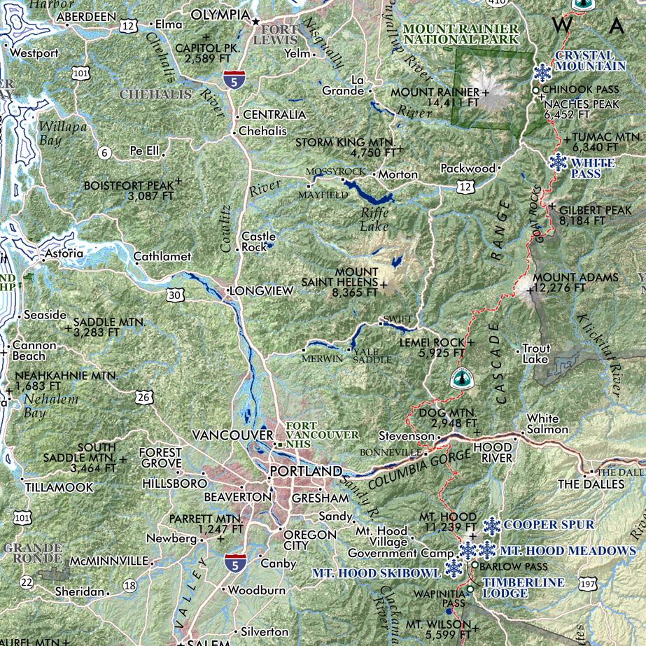
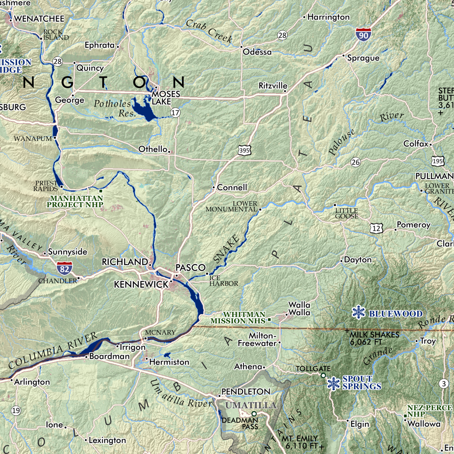
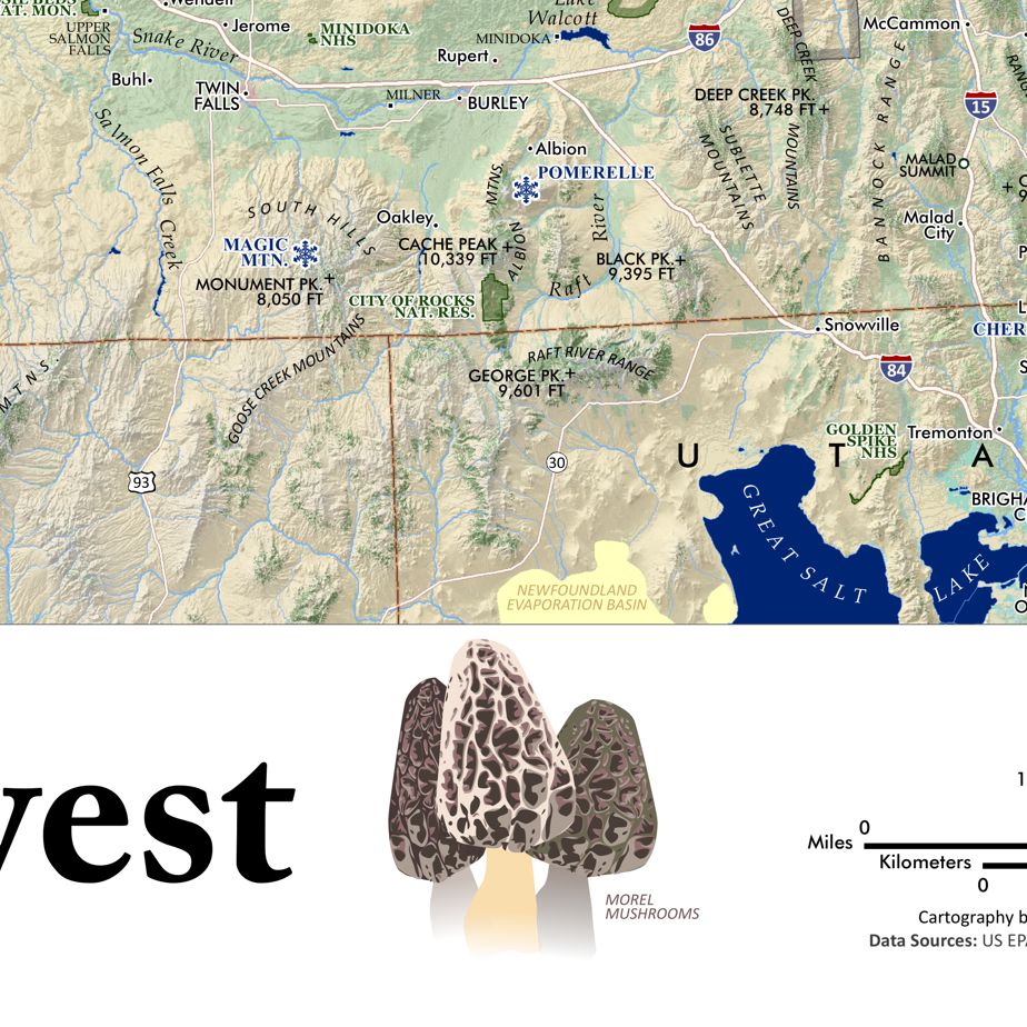
Idaho Snow Depth map. A representation of the average snow depth in mid-March for the 20 seasons from years 2004 - 2023 often the deepest moment of the year for the snowpack. Reference labels includes places, state parks, special land management categories, alpine ski areas, special sites, highways/major roads, prominent and recognized summits and landforms of significance, and familiar hot springs.
MORE ABOUT THIS MAP
This map presents the average value of snow depth modeled for March 15th from the 20 year period of years 2004 thru 2023. The mean was calculated by Mitchell Geography from data produced by the NOAA National Weather Service's National Operational Hydrologic Remote Sensing Center (NOHRSC) SNOw Data Assimilation System (SNODAS). SNODAS is a modelling and data assimilation system developed by the NOHRSC to provide the best possible estimates of snow cover and associated variables to support hydrologic modelling and analysis. NOHRSC products are gridded data sets for the continental United States at 1-km spatial resolution and 24-hour temporal resolution. SNODAS models are run each day, with analysts deciding whether or not to use remote sensing and ground based observations (e.g. SNOTEL) to update the snow water equivalent state in the model.
Data Citation: National Operational Hydrologic Remote Sensing Center. 2004 -2023. Snow Data Assimilation System (SNODAS) data products at NSIDC. Boulder, CO: National Snow and Ice Data Center. Digital media.
13 inches wide x 19 inches long
1:1,760,000
Idaho Snow Depth map. A representation of the average snow depth in mid-March for the 20 seasons from years 2004 - 2023 often the deepest moment of the year for the snowpack. Reference labels includes places, state parks, special land management categories, alpine ski areas, special sites, highways/major roads, prominent and recognized summits and landforms of significance, and familiar hot springs.
MORE ABOUT THIS MAP
This map presents the average value of snow depth modeled for March 15th from the 20 year period of years 2004 thru 2023. The mean was calculated by Mitchell Geography from data produced by the NOAA National Weather Service's National Operational Hydrologic Remote Sensing Center (NOHRSC) SNOw Data Assimilation System (SNODAS). SNODAS is a modelling and data assimilation system developed by the NOHRSC to provide the best possible estimates of snow cover and associated variables to support hydrologic modelling and analysis. NOHRSC products are gridded data sets for the continental United States at 1-km spatial resolution and 24-hour temporal resolution. SNODAS models are run each day, with analysts deciding whether or not to use remote sensing and ground based observations (e.g. SNOTEL) to update the snow water equivalent state in the model.
Data Citation: National Operational Hydrologic Remote Sensing Center. 2004 -2023. Snow Data Assimilation System (SNODAS) data products at NSIDC. Boulder, CO: National Snow and Ice Data Center. Digital media.

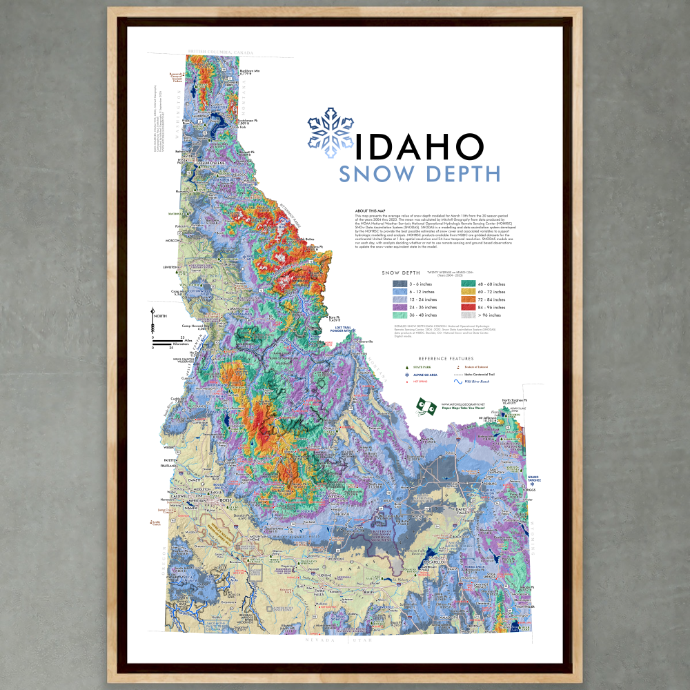 Image 1 of 7
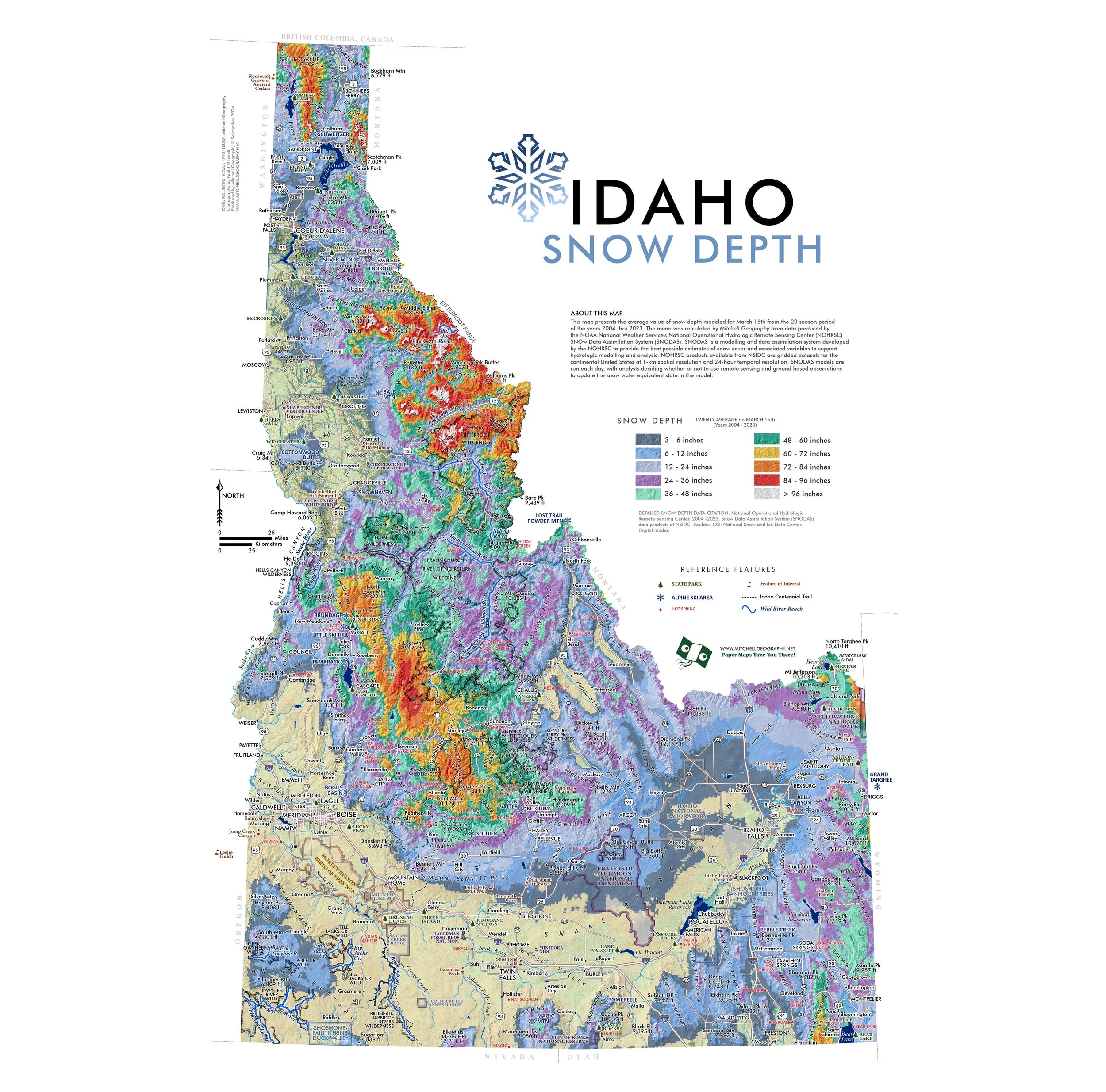 Image 2 of 7
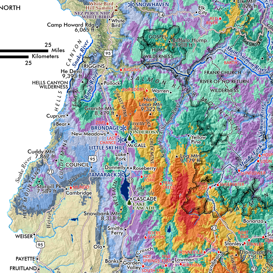 Image 3 of 7
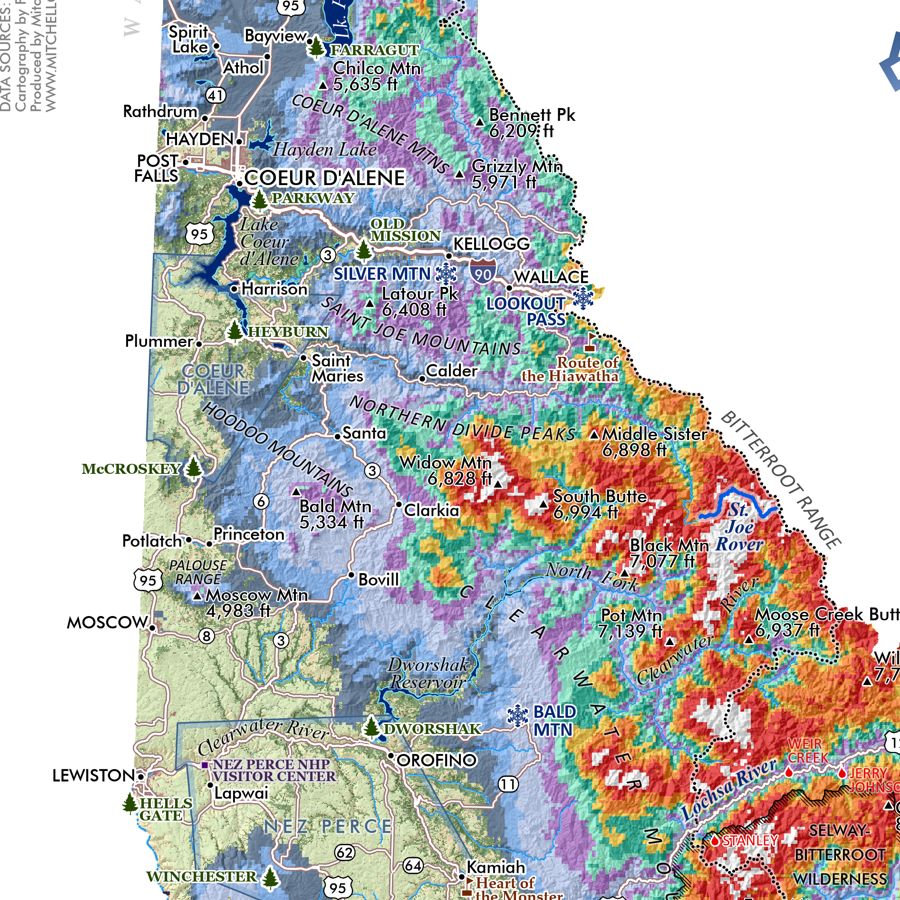 Image 4 of 7
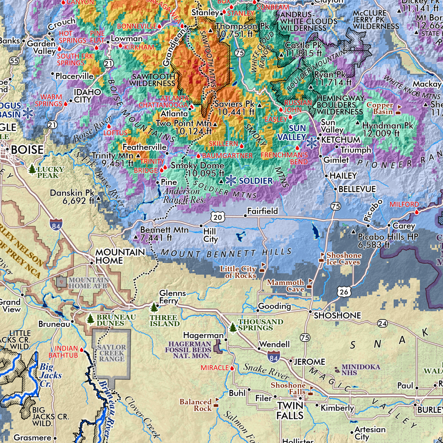 Image 5 of 7
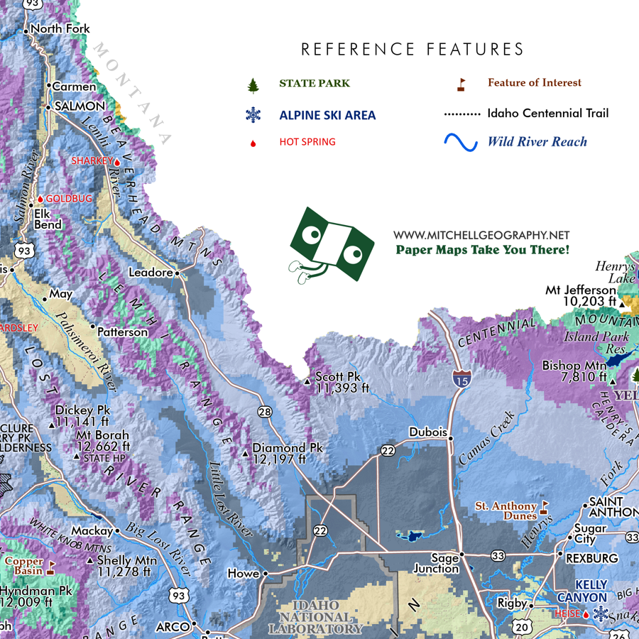 Image 6 of 7
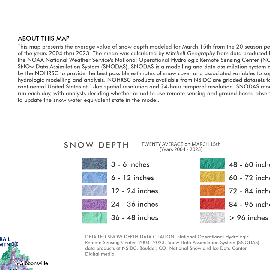 Image 7 of 7