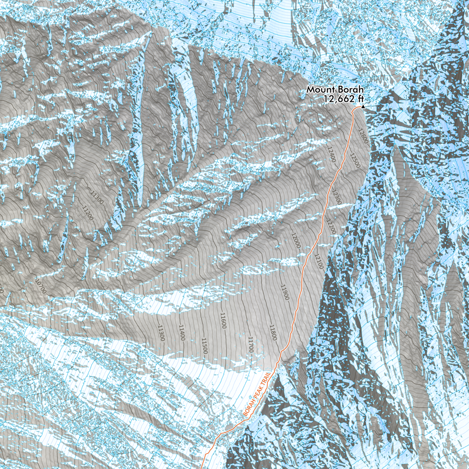
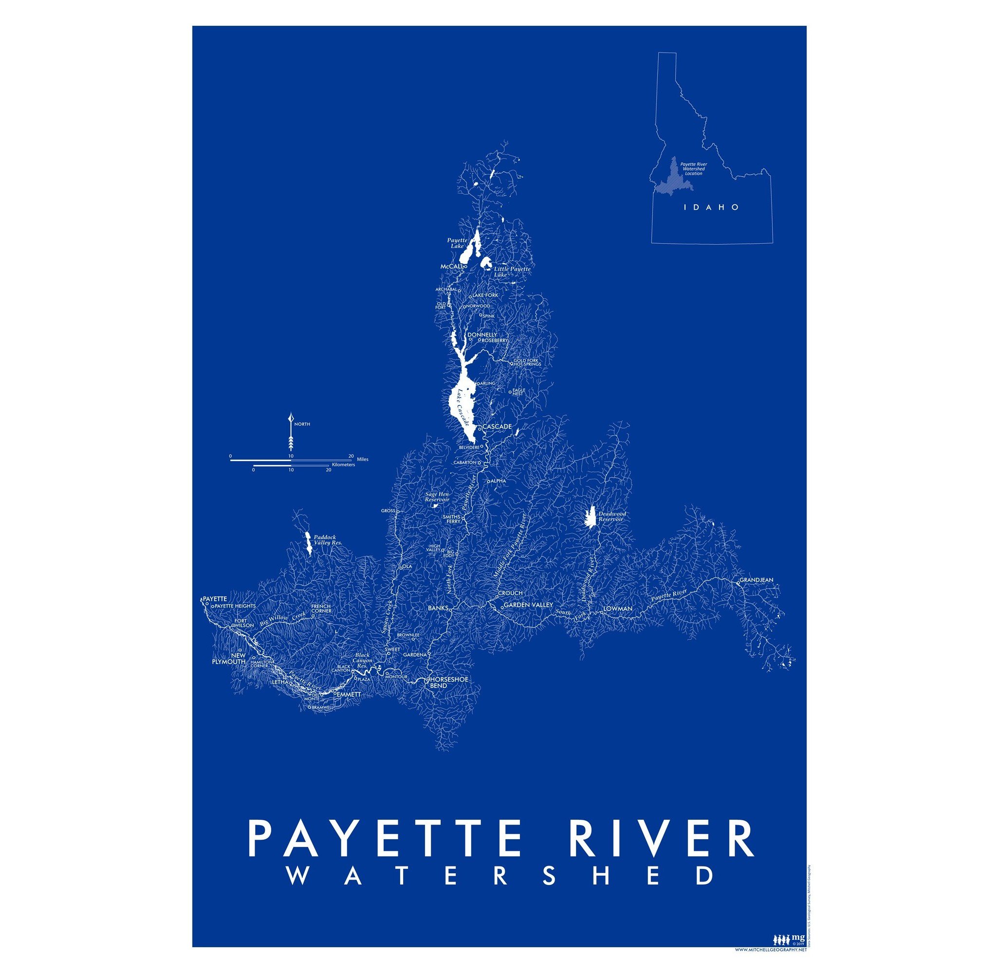
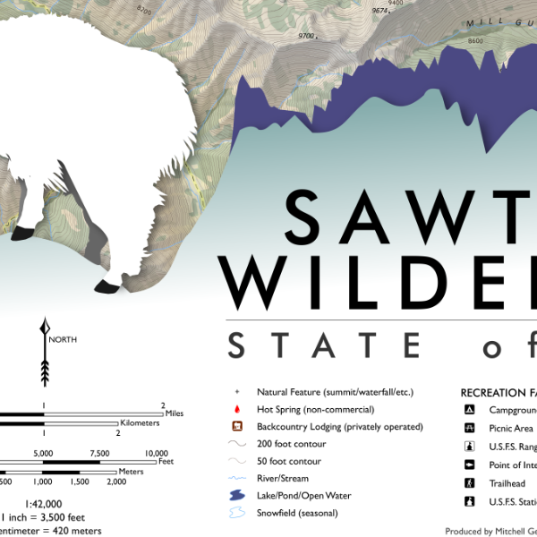
 Image 1 of 4
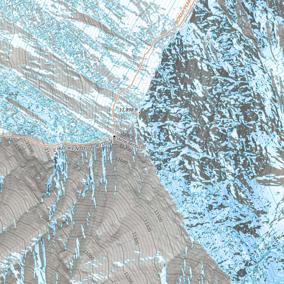
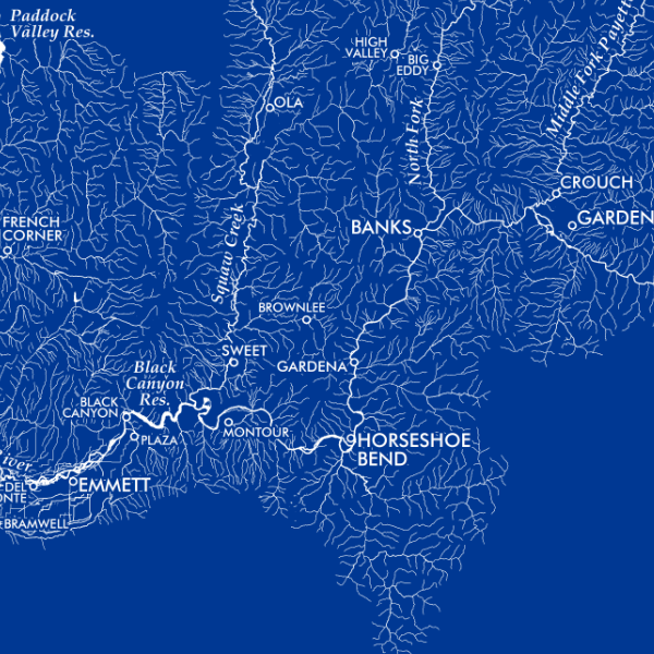
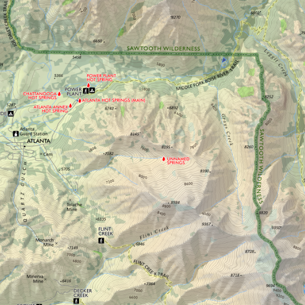
 Image 2 of 4
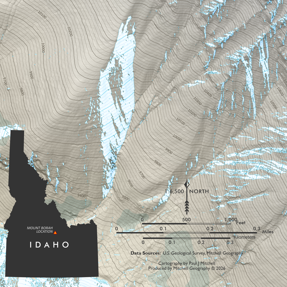
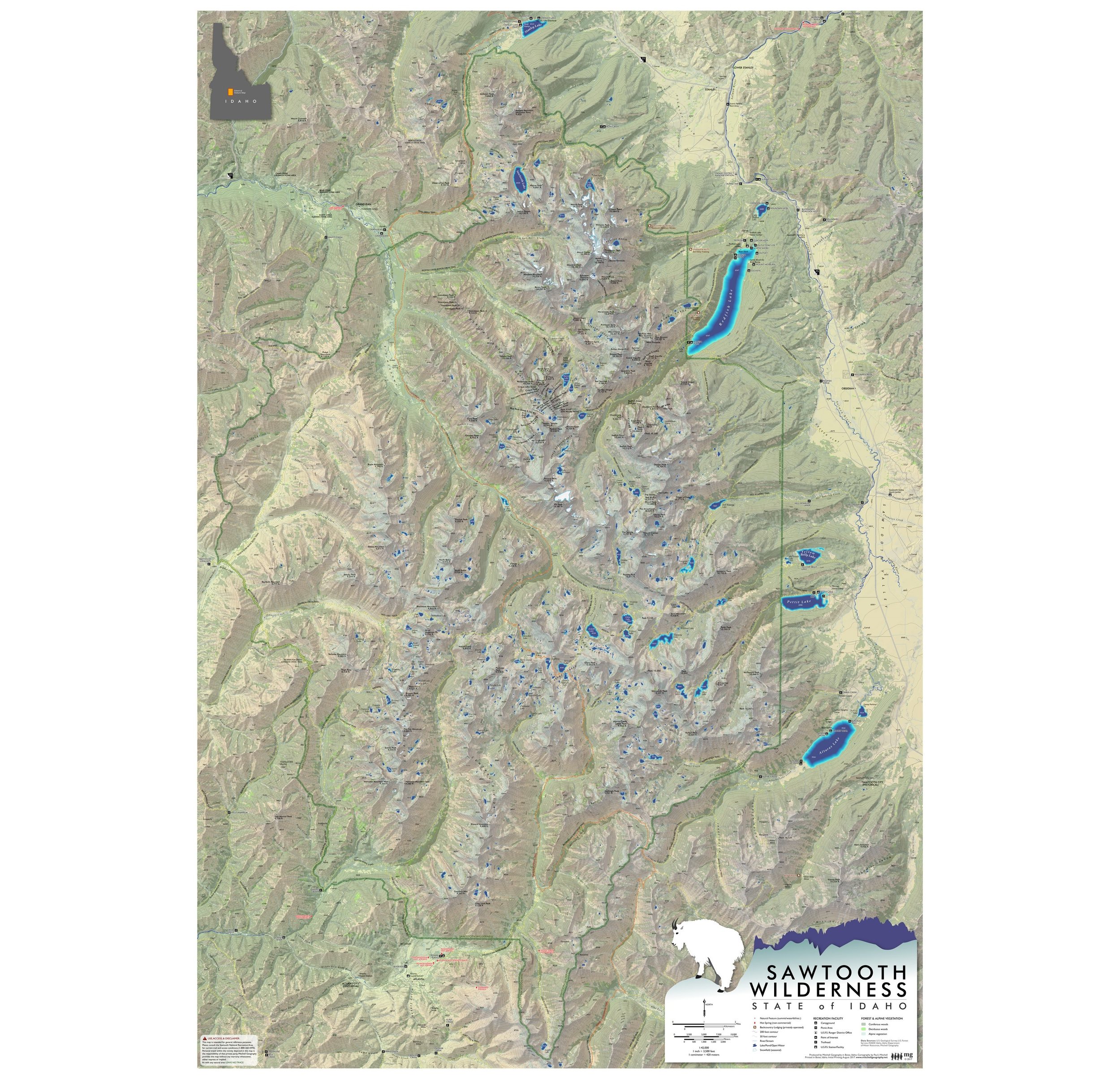
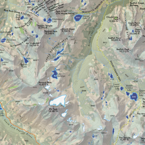
 Image 3 of 4
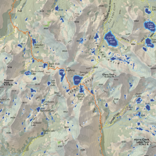
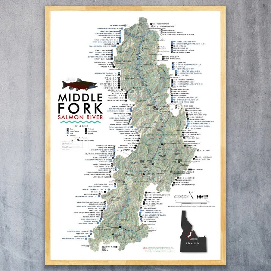
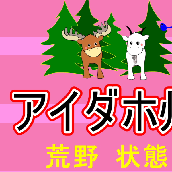 Image 4 of 4
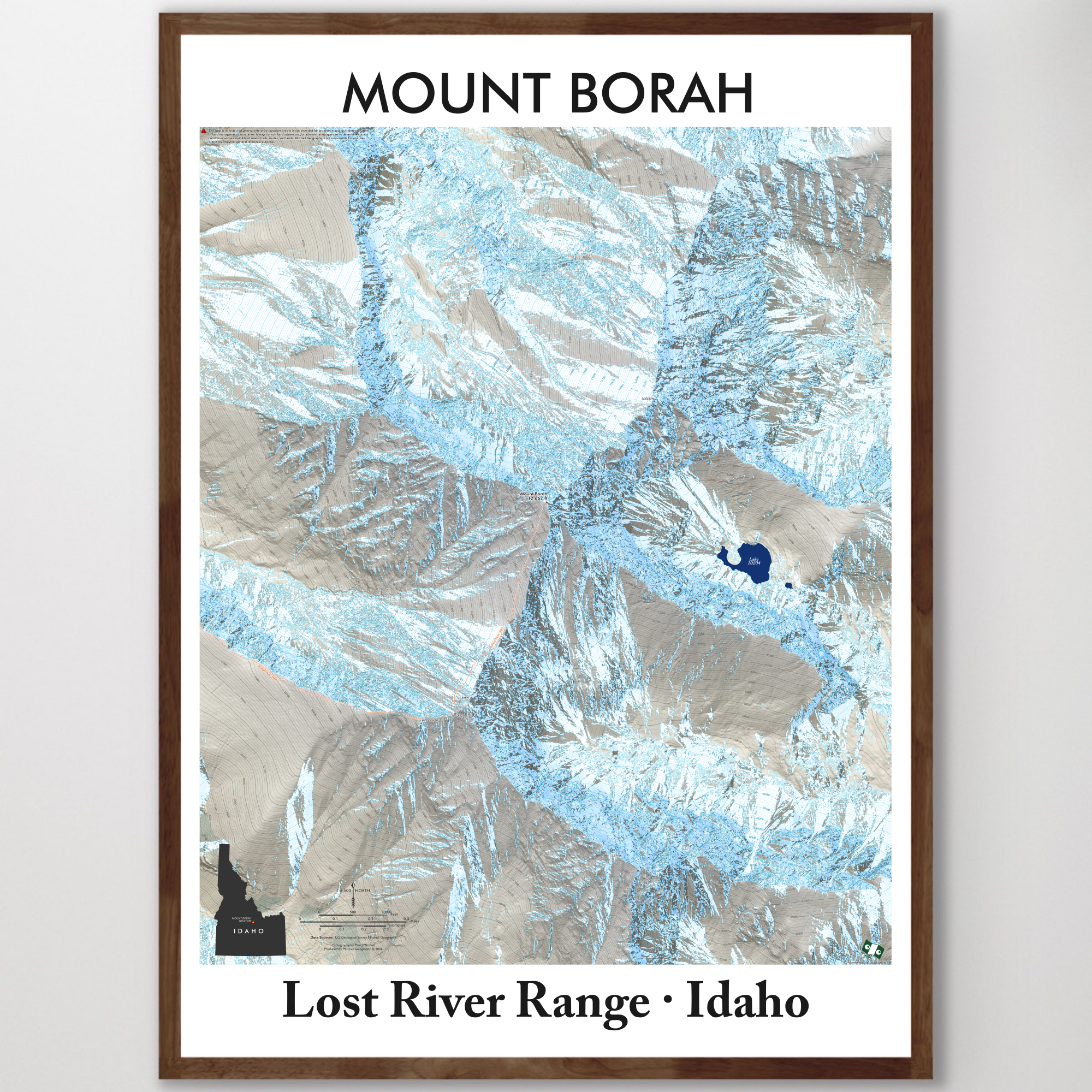
13 inch by 19 inch flat wall map, printed on heavy fine paper. Packed and shipped flat.
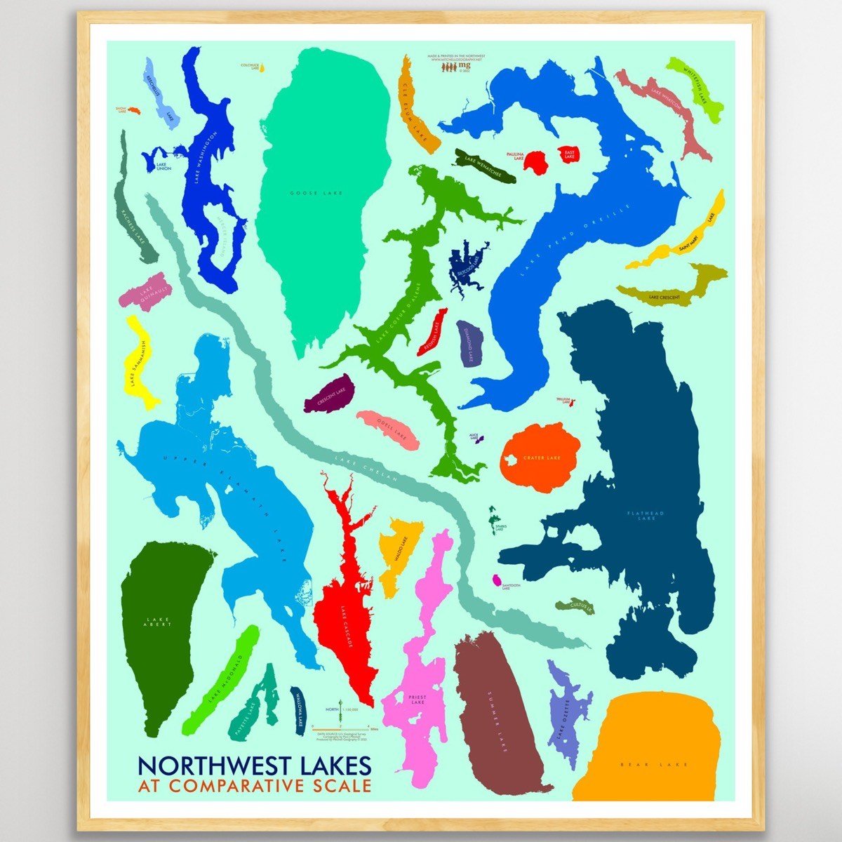
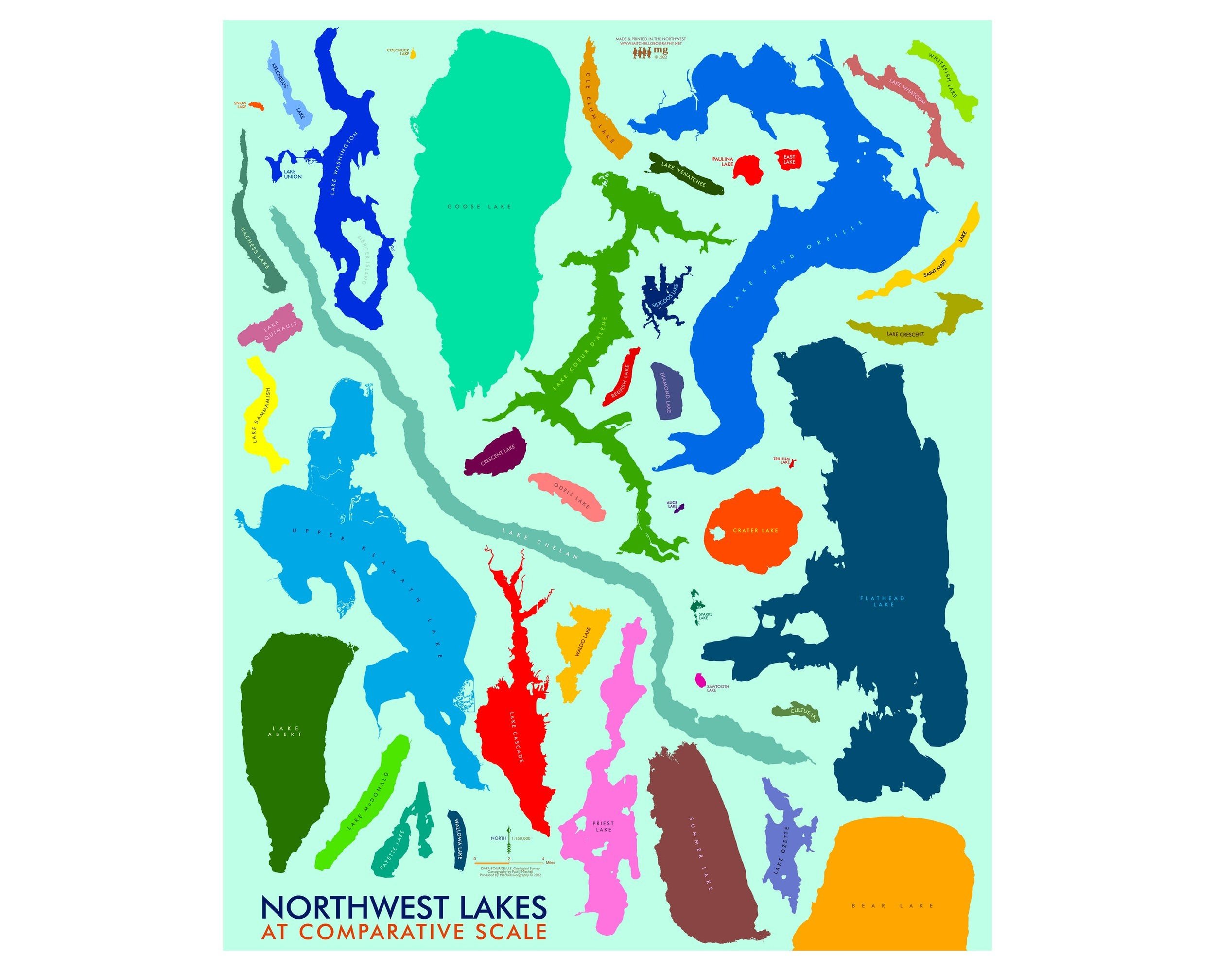
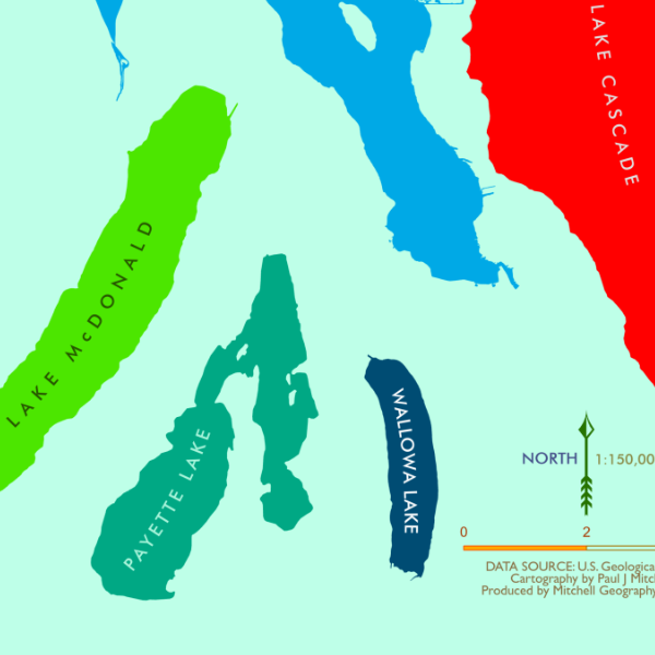
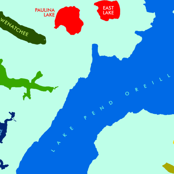
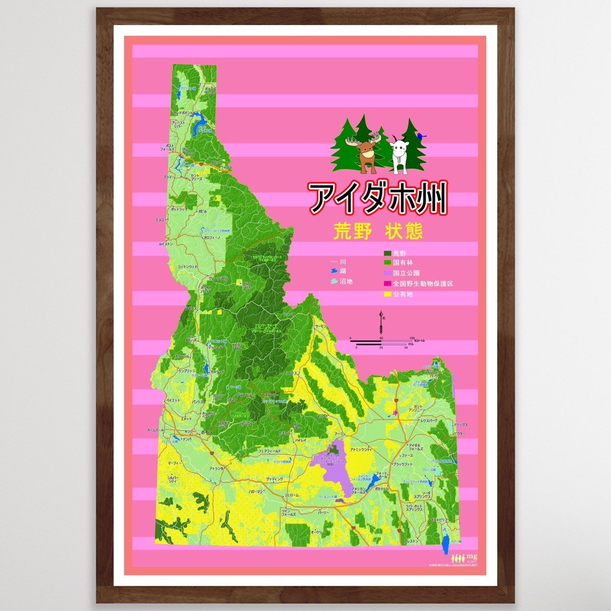
A first take on a Japanese language map of Idaho, in the Wilderness State theme. Places, lakes, and some public land features are labeled for reference. Land management classes depicted include public BLM lands, National Forests, Federal Wilderness, National Park Units, and Fish & Wildlife Reserves.
Please submit any translation suggestions or corrections to:
PJ Mitchell -- mitchell.paulj@gmail.com
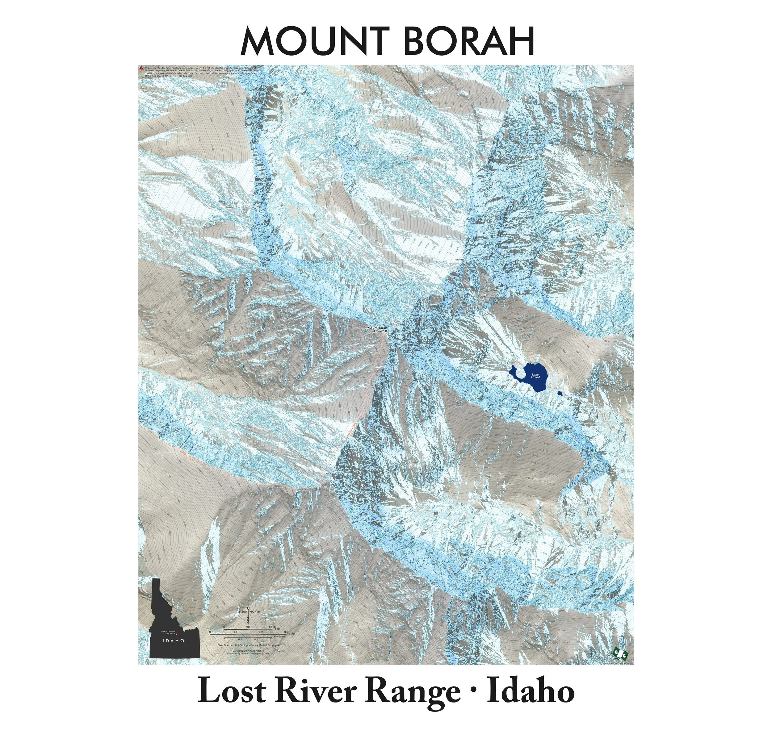
13 inch by 19 inch flat wall map, printed on heavy fine paper. Packed and shipped flat.
A first take on a Japanese language map of Idaho, in the Wilderness State theme. Places, lakes, and some public land features are labeled for reference. Land management classes depicted include public BLM lands, National Forests, Federal Wilderness, National Park Units, and Fish & Wildlife Reserves.
Please submit any translation suggestions or corrections to:
PJ Mitchell -- mitchell.paulj@gmail.com