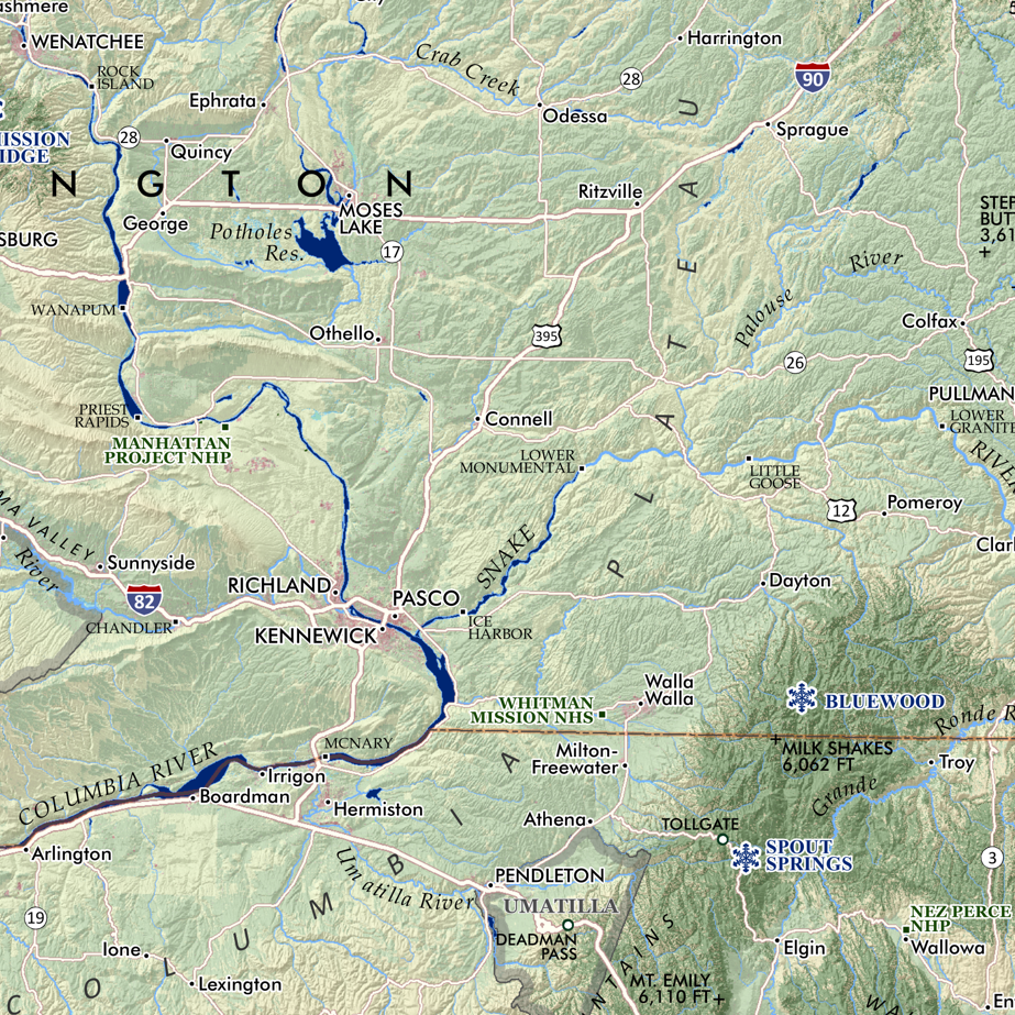
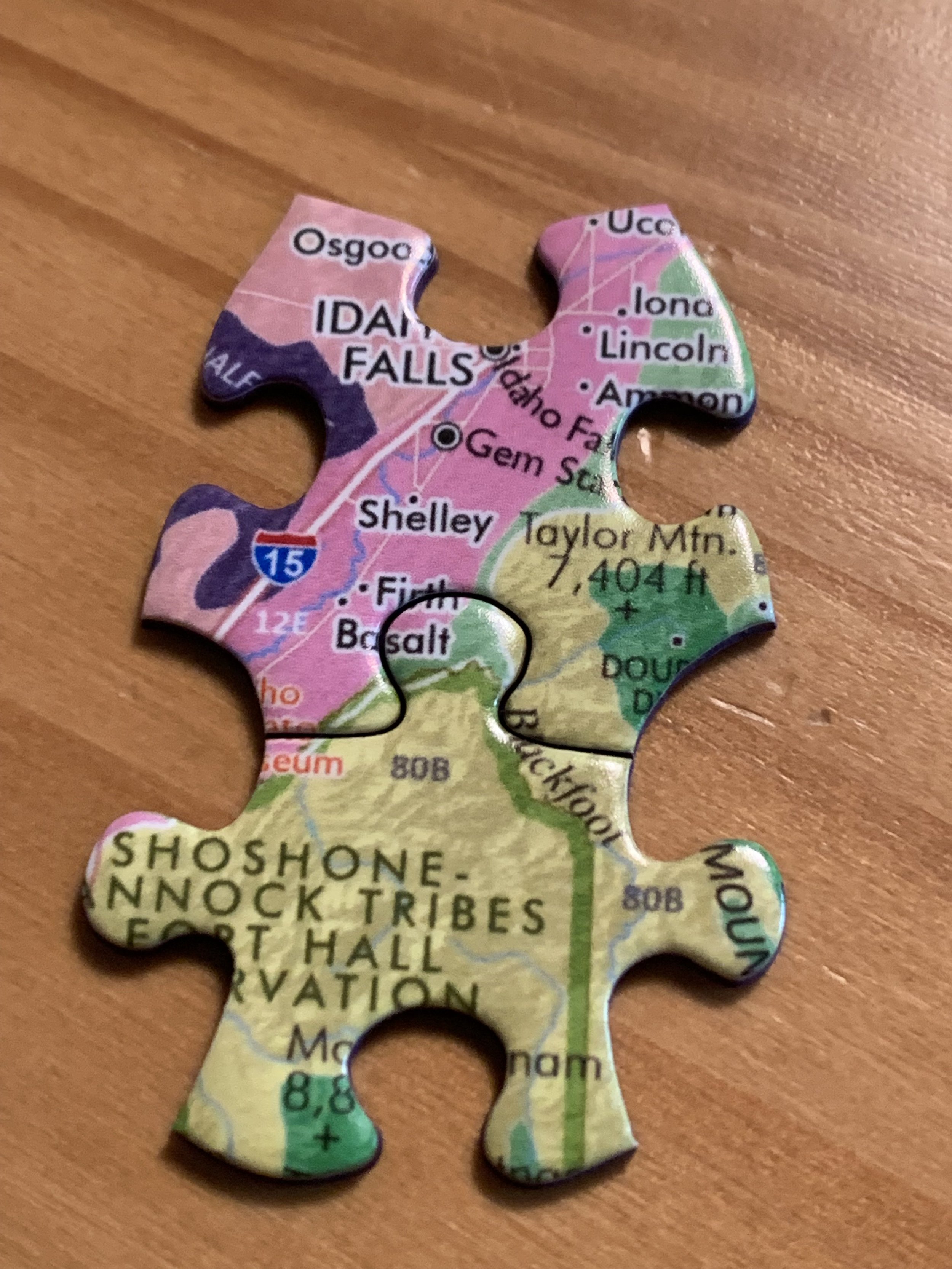
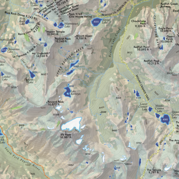
 Image 1 of 3
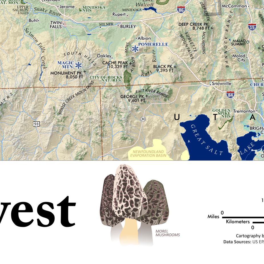
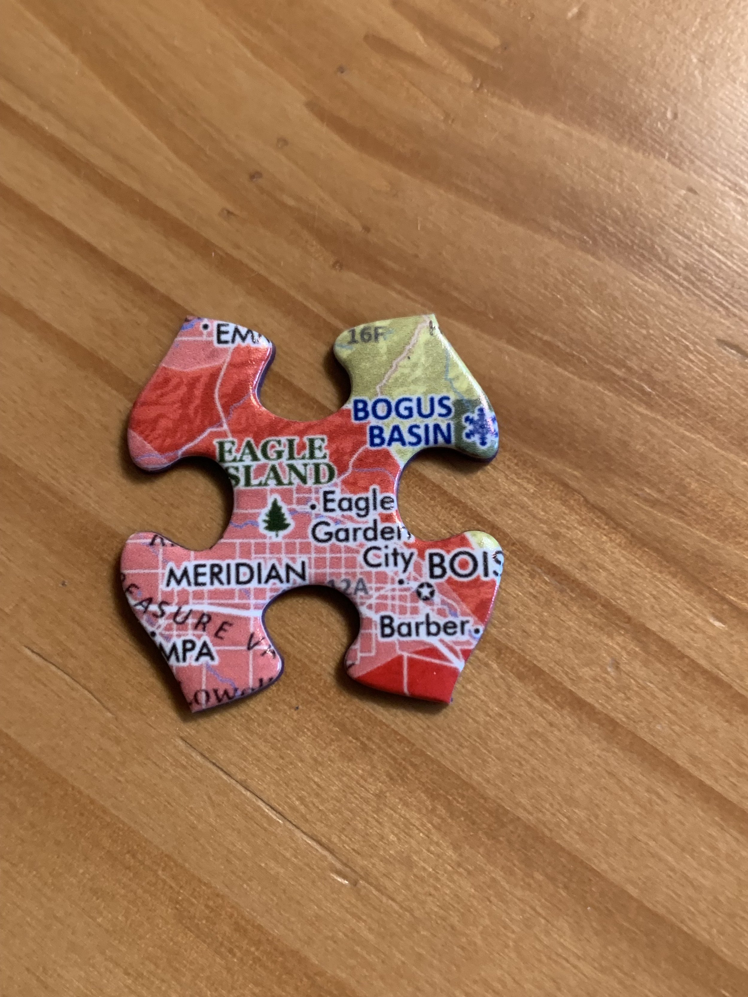
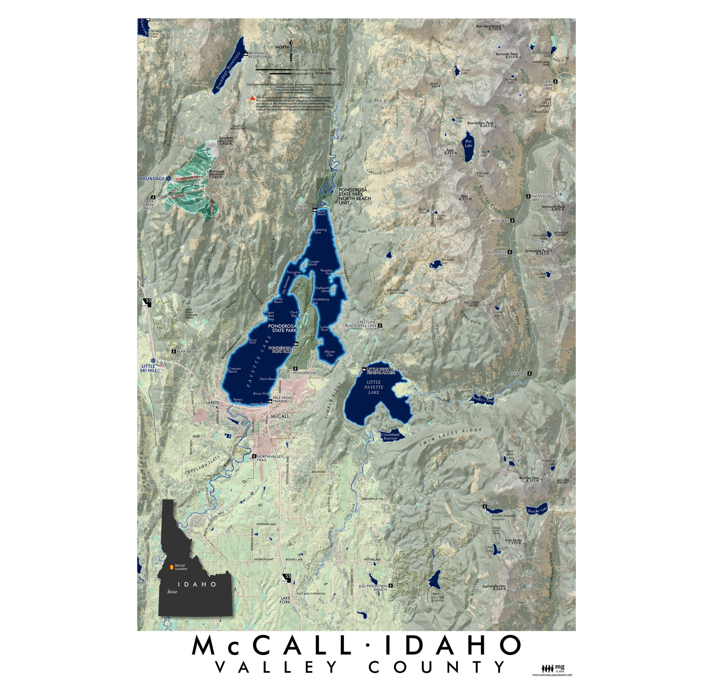 Image 2 of 3
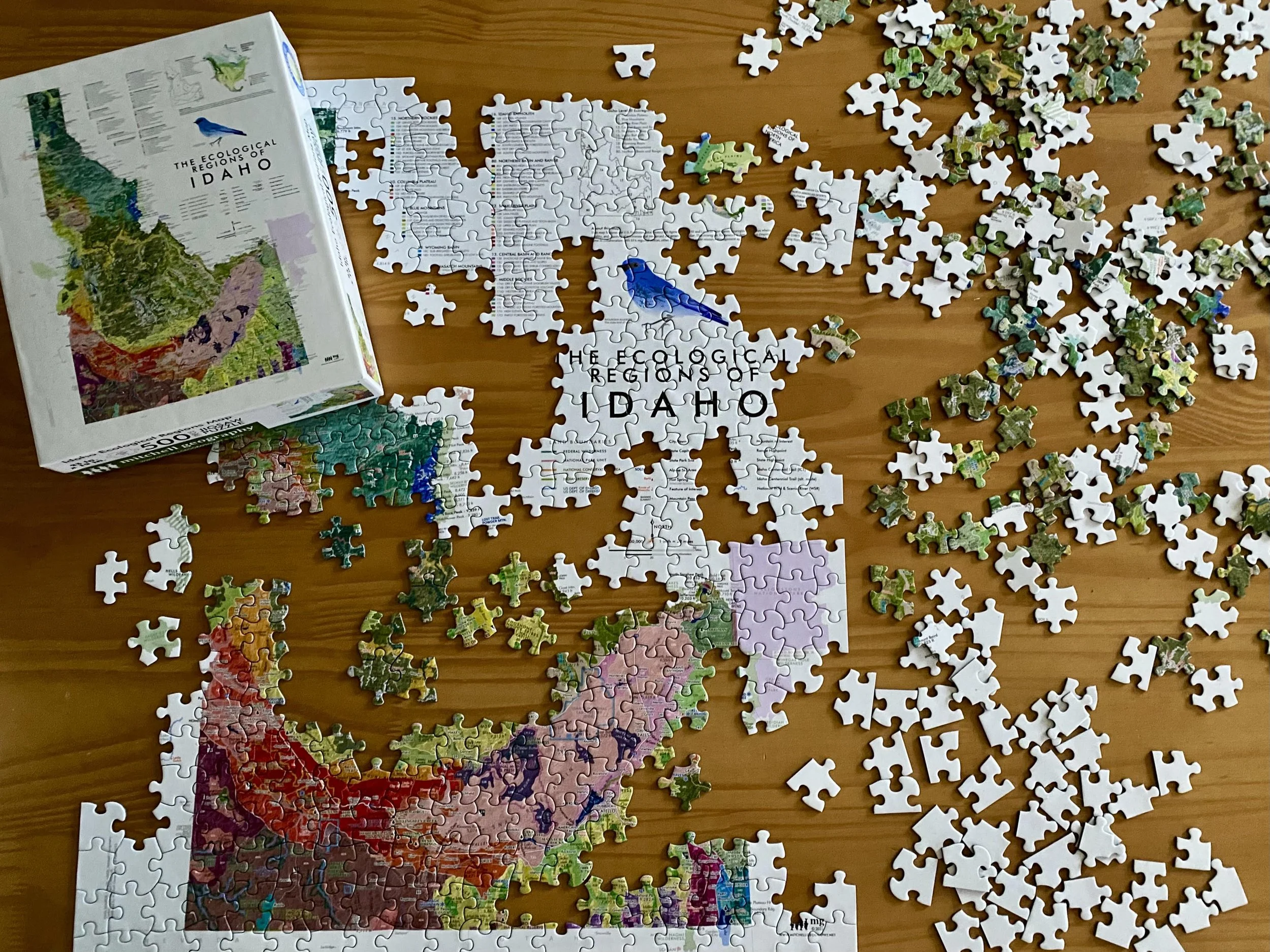
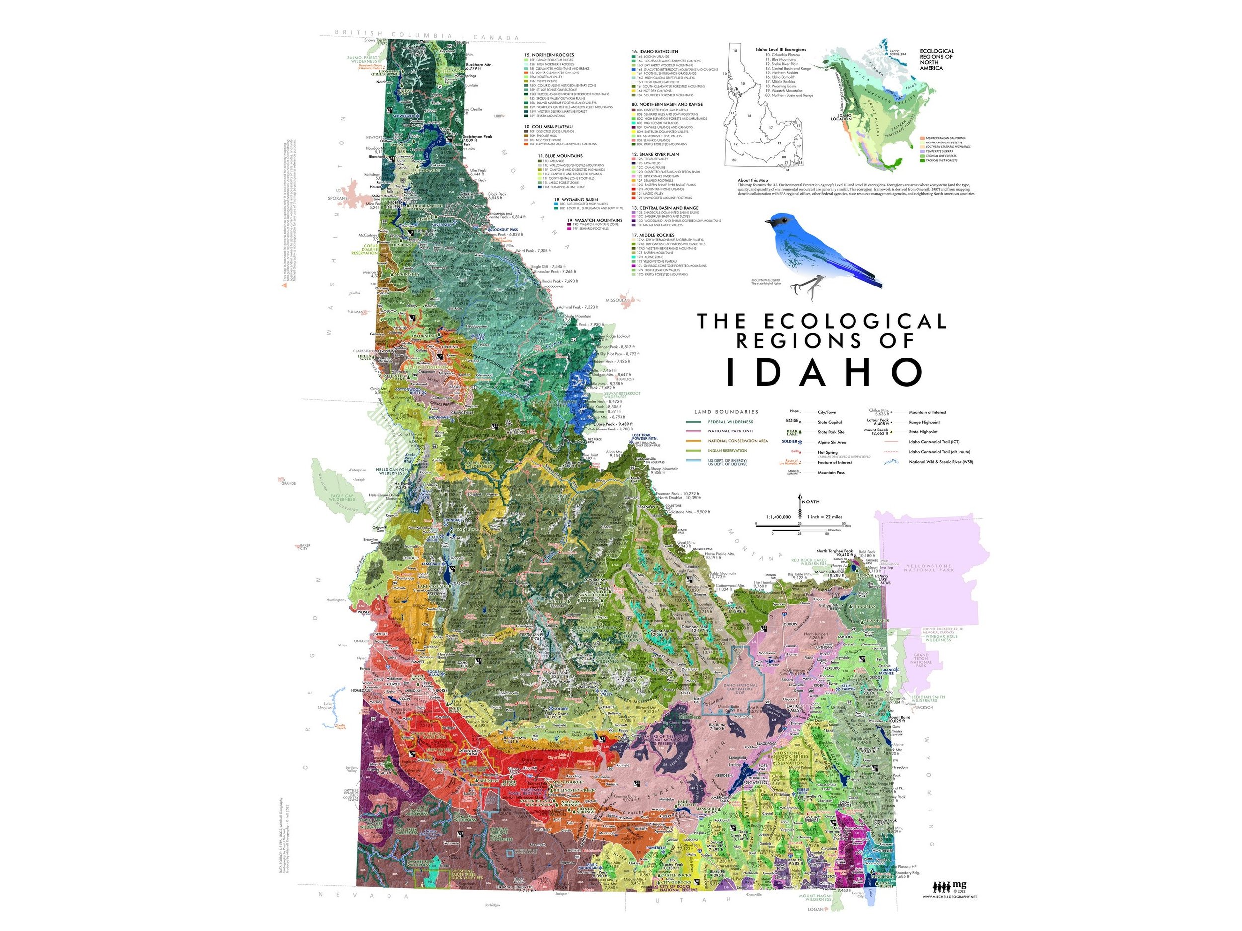
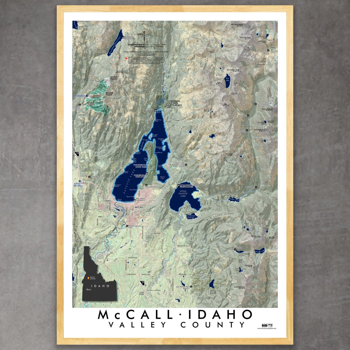
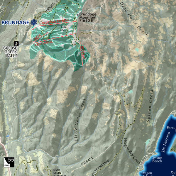 Image 3 of 3
1:66,500
13 inch by 19 inch flat wall map, printed on heavy fine paper. Packed and shipped flat.
McCall, Valley County, Idaho. A contemporary topographic reference map of the McCall, Idaho vicinity including Brundage Mountain, Lick Creek Summit, and Jughandle Mountain within it's extent. USFS trails, Ponderosa SP trails, boating access, ski area details (lifts and alpine runs), and named trailheads are included for reference. 3rd Edition print.