Skip to Content
maps
etc
stockists
contact
Mitchell Geography
0
0
maps
etc
stockists
contact
Mitchell Geography
0
0
maps
etc
stockists
contact
map shop Montana Rivers (19 in x 13 in)
Montana Rivers Map Image 1 of 3
Montana Rivers Map
Montana Rivers Map Image 2 of 3
Montana Rivers Map
Montana Rivers Map Image 3 of 3
Montana Rivers Map
Montana Rivers Map
Montana Rivers Map
Montana Rivers Map

Montana Rivers (19 in x 13 in)

$24.00

19 inch by 13 inch flat wall map, printed on heavy fine paper. Packed and shipped flat.

Montana Rivers. Navy blue monochrome map of Montana's surface hydrology, including rivers, lakes, reservoirs, and intermittent streams in the eastern plains portion of the state.

Quantity:
Add To Cart

19 inch by 13 inch flat wall map, printed on heavy fine paper. Packed and shipped flat.

Montana Rivers. Navy blue monochrome map of Montana's surface hydrology, including rivers, lakes, reservoirs, and intermittent streams in the eastern plains portion of the state.
19 inch by 13 inch flat wall map, printed on heavy fine paper. Packed and shipped flat.

Montana Rivers. Navy blue monochrome map of Montana's surface hydrology, including rivers, lakes, reservoirs, and intermittent streams in the eastern plains portion of the state.
You Might Also Like

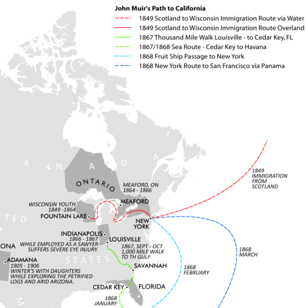
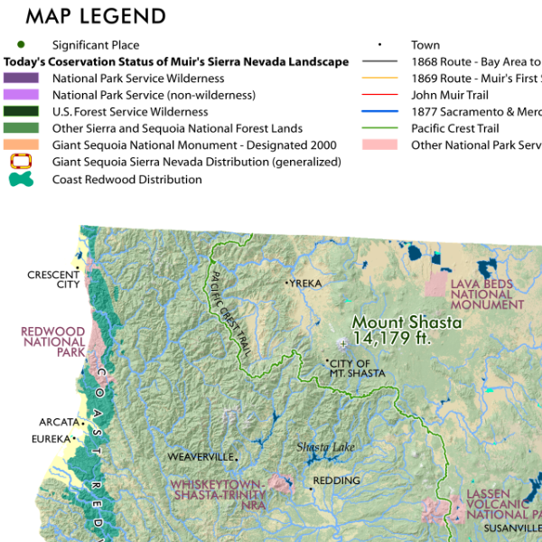
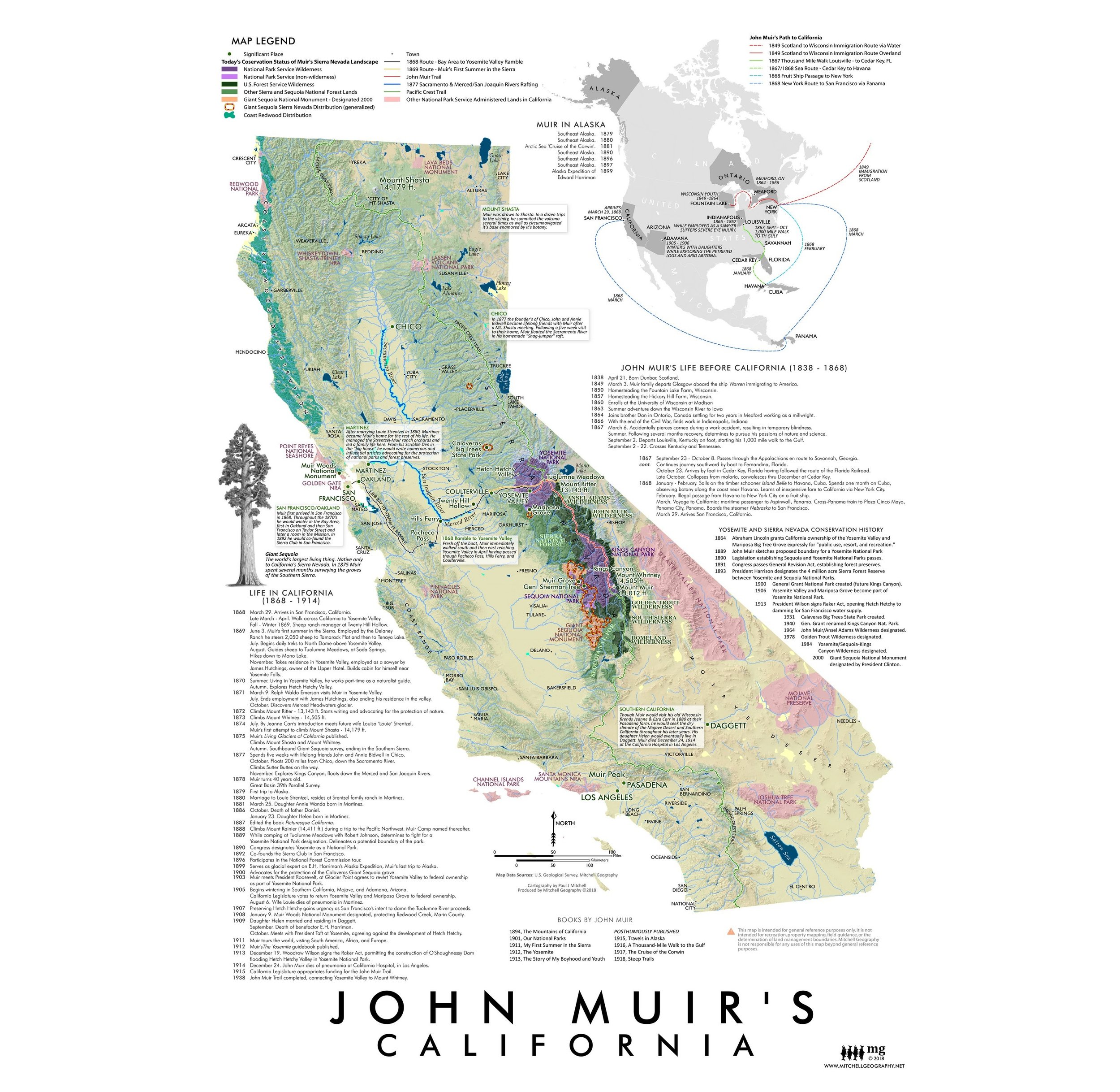
John Muir's California John Muir's California Map John Muir's California Map John Muir's California Map John Muir's California Map
John Muir's California
from $24.00
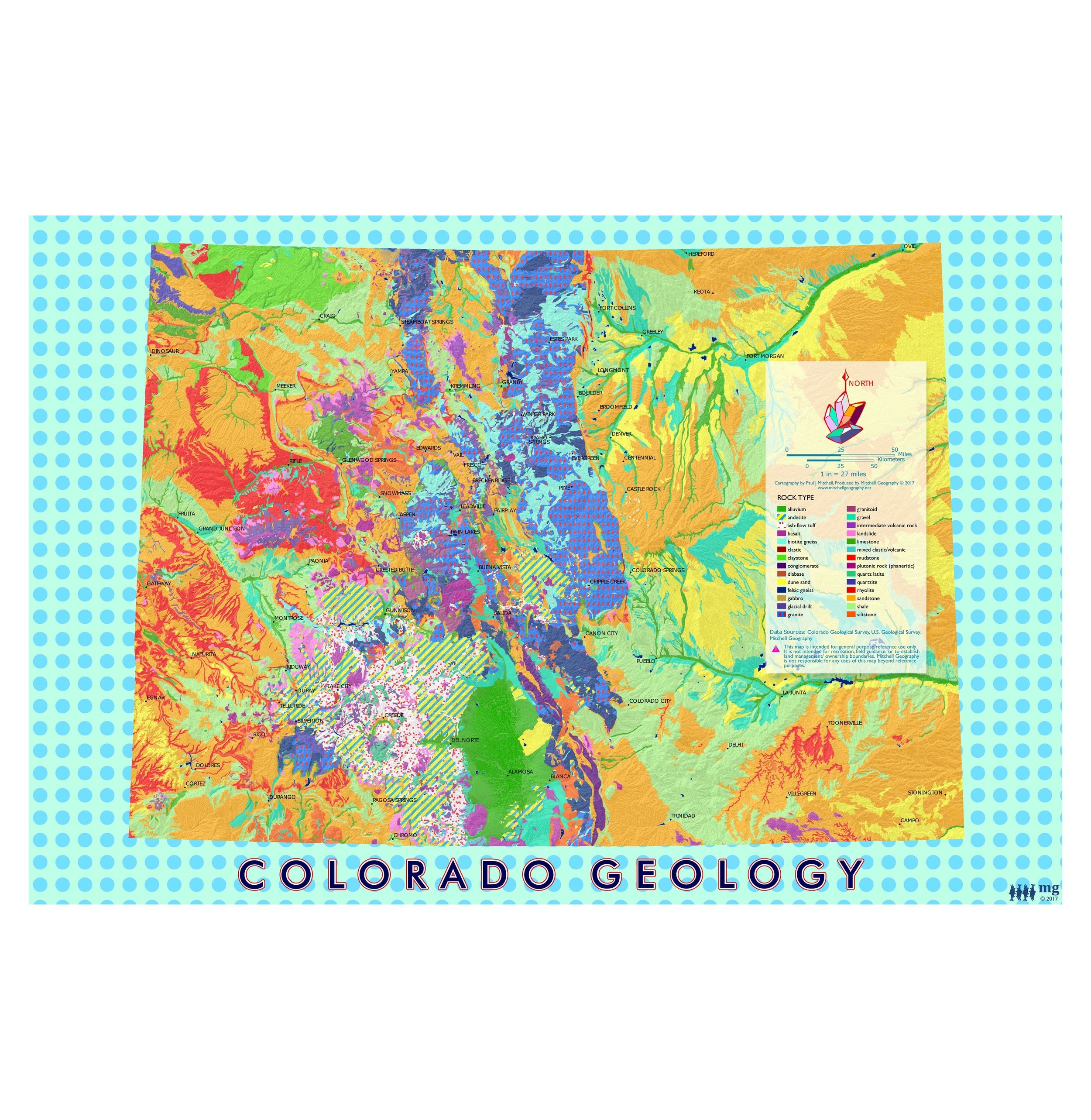
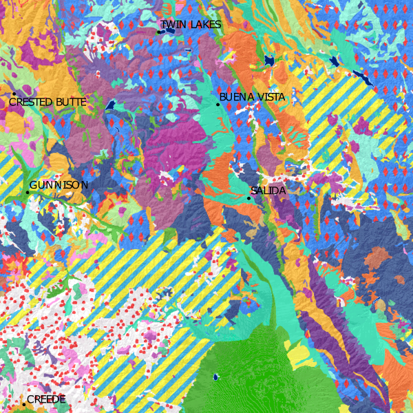
Colorado Geology (19 in x 13 in) Colorado Geology Art Map Colorado Geology Art Map
Colorado Geology (19 in x 13 in)
$24.00
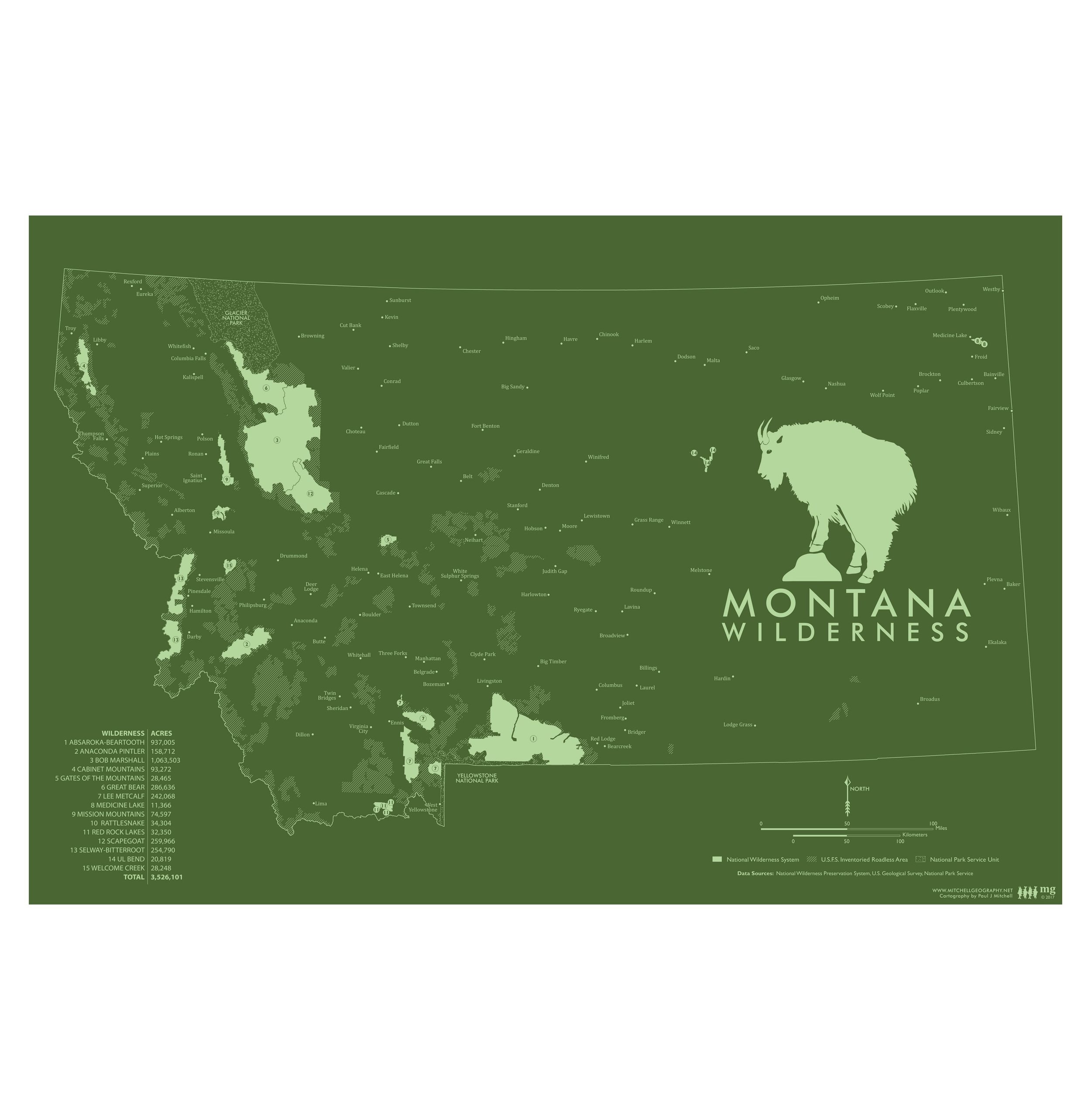
Montana Wilderness (19 in x 13 in) Montana Wilderness Map Montana Wilderness Map
Montana Wilderness (19 in x 13 in)
$24.00
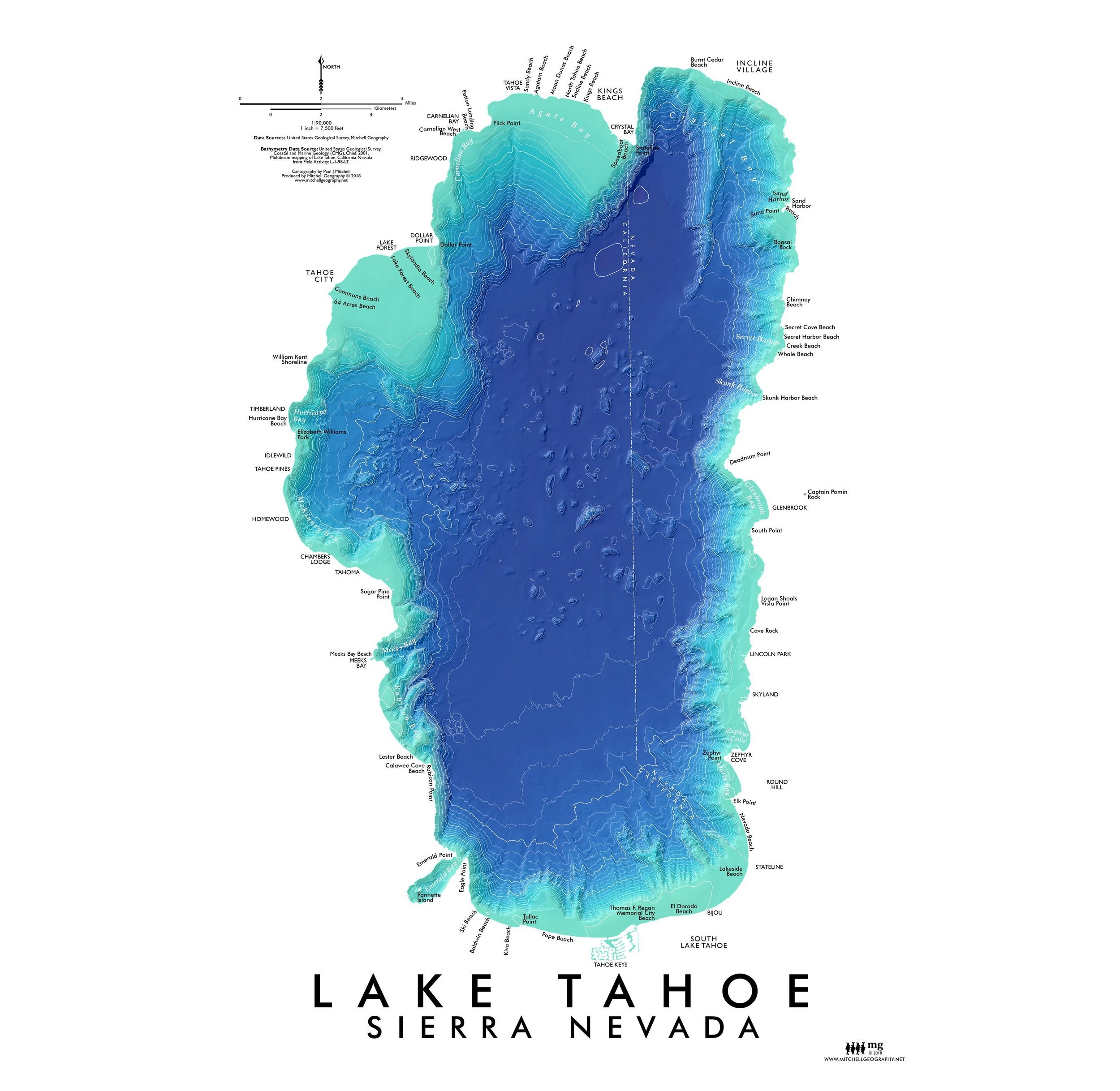
Lake Tahoe (19 in x 13 in) Lake Tahoe Bathymetry Map Lake Tahoe Bathymetry Map
Lake Tahoe (19 in x 13 in)
$24.00
Vancouver BC (19 in x 13 in) Vancouver BC Map Vancouver BC Map
Vancouver BC (19 in x 13 in)
$24.00

© Mitchell Geography 2013 - 2025