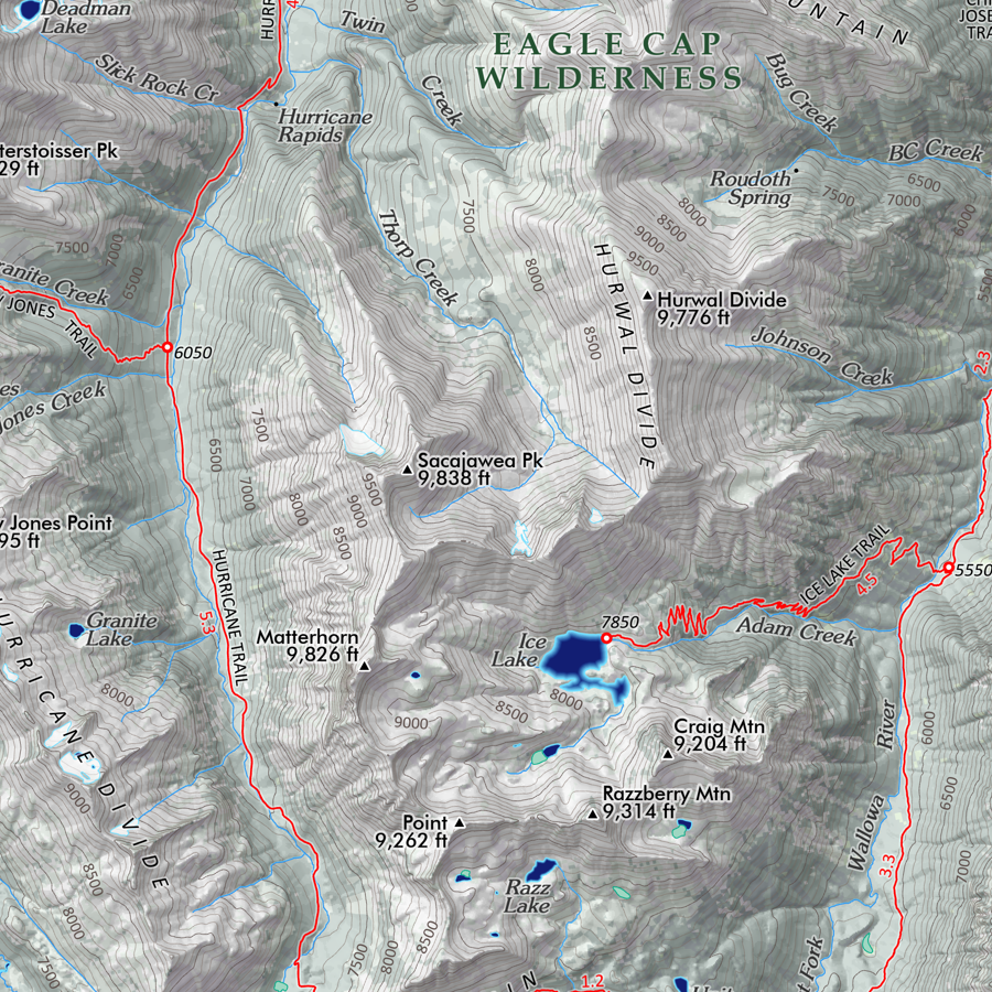
1:23,000
13 inch by 19 inch flat wall map, printed on heavy fine paper. Packed and shipped flat.
Mount Bachelor, Oregon. An artistic mid-summer rendering of "Brother Jonathan" or Mount Bachelor (formerly Bachelor Butte), near neighbor of the Three Sisters and Broken Top. Elevations of summit, ski area lodges, and chairlifts included for reference. Derived from 3 foot Oregon Department of Geology Lidar terrain model. Winter Scene inset included.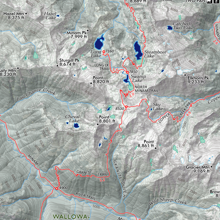

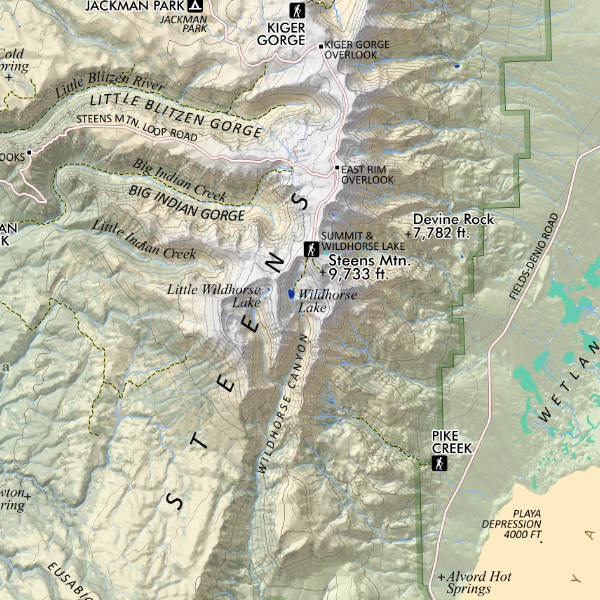
 Image 1 of 4
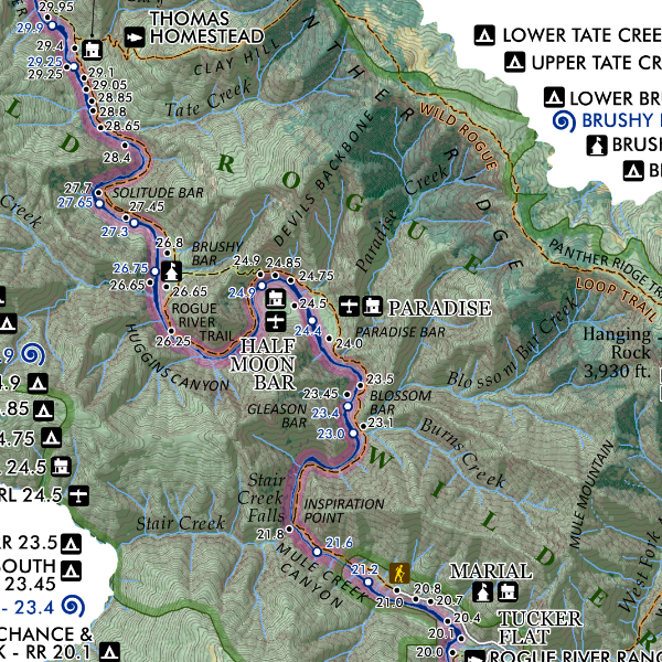
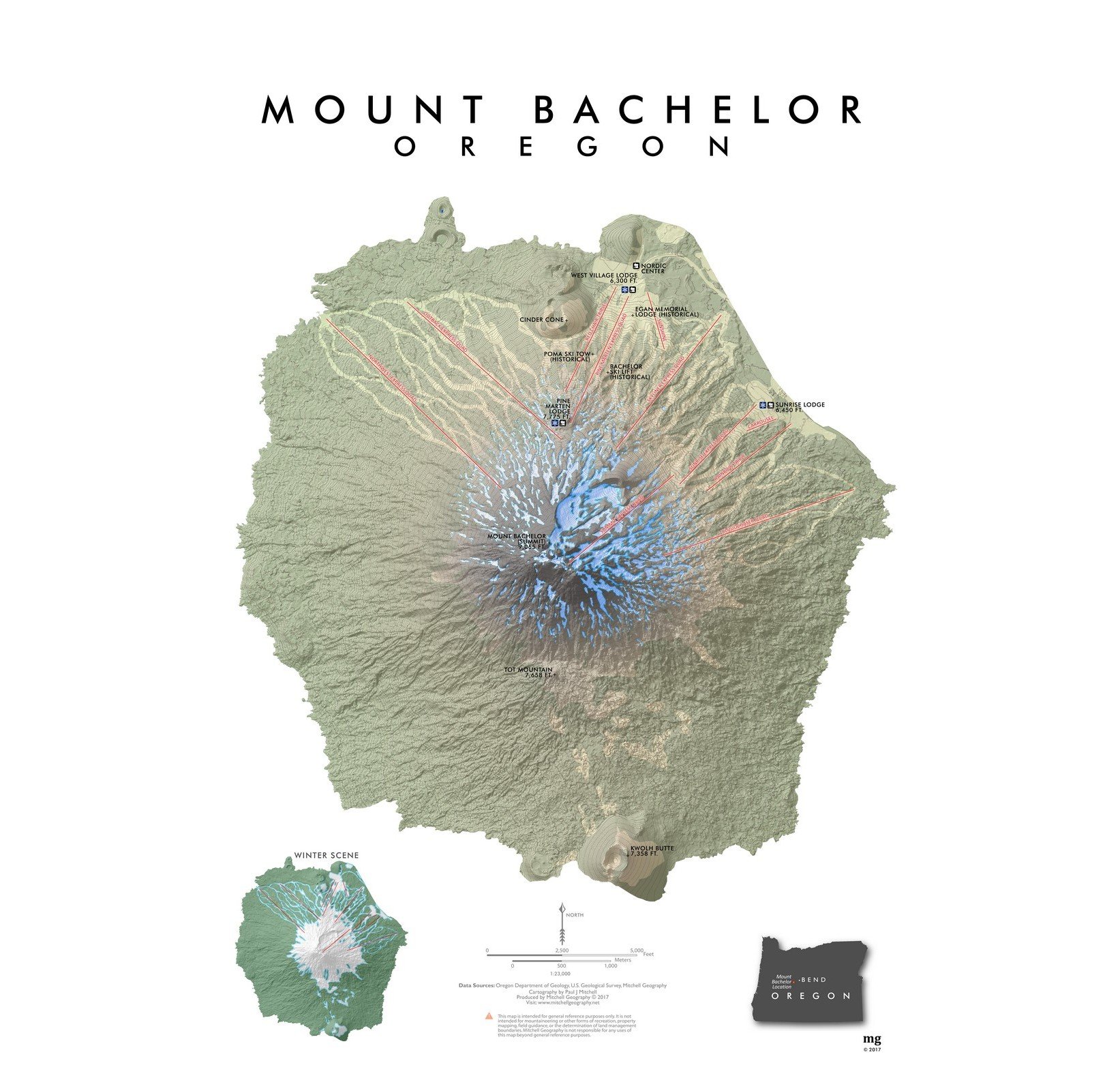 Image 2 of 4
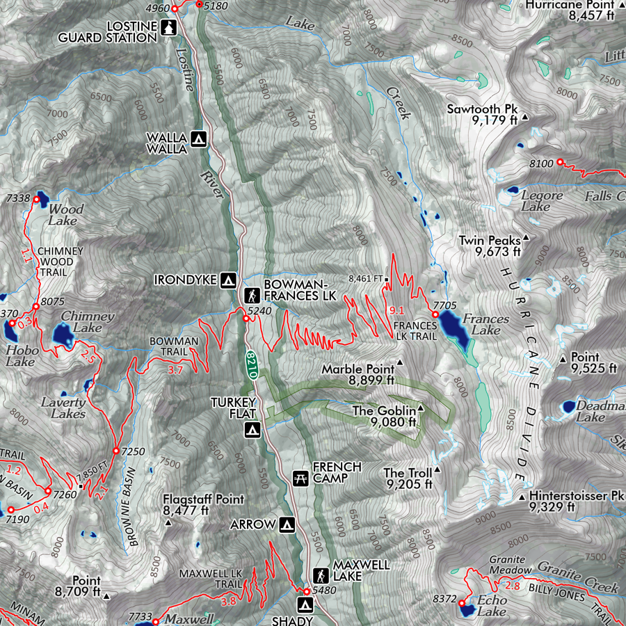
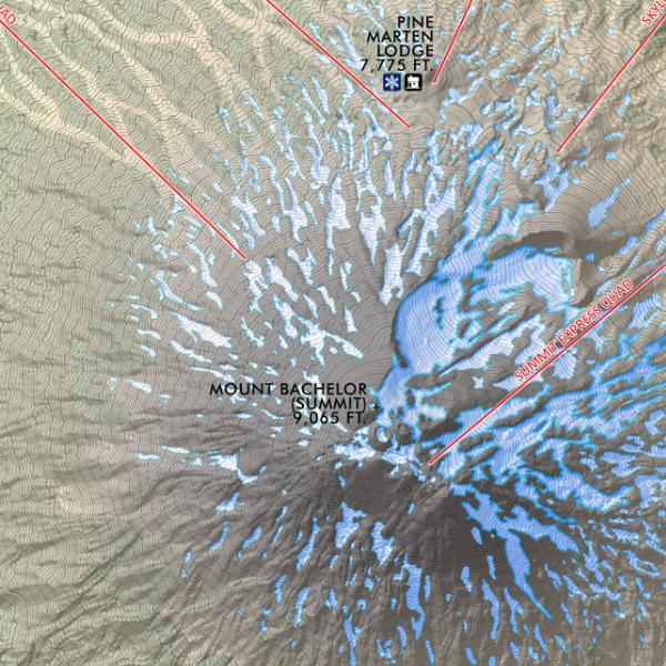 Image 3 of 4
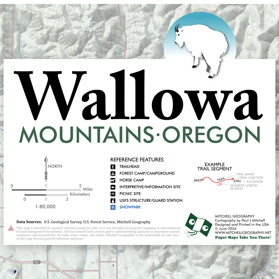
 Image 4 of 4


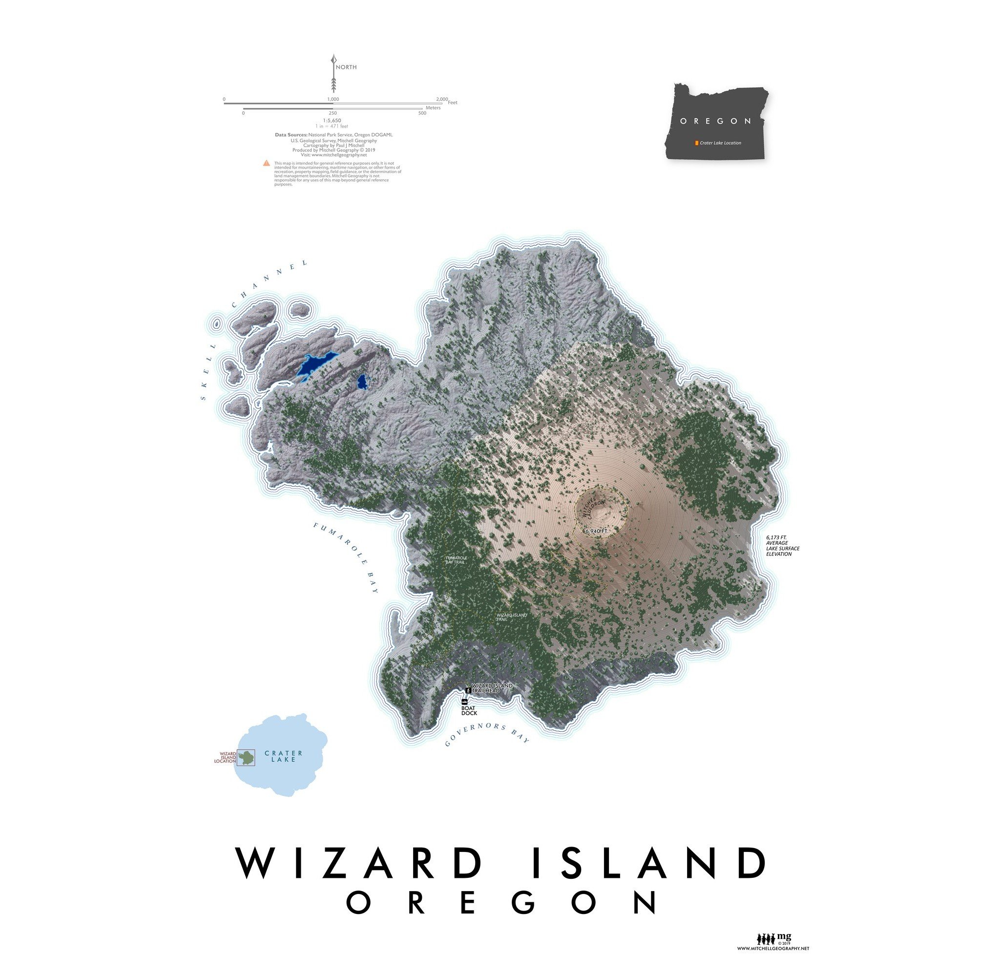
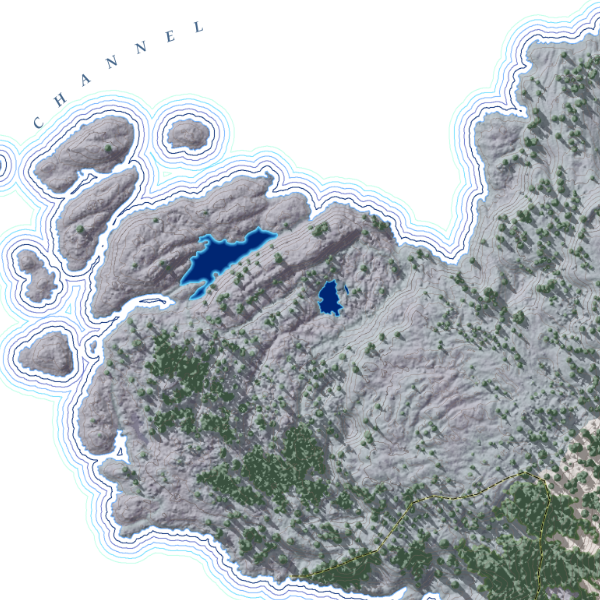
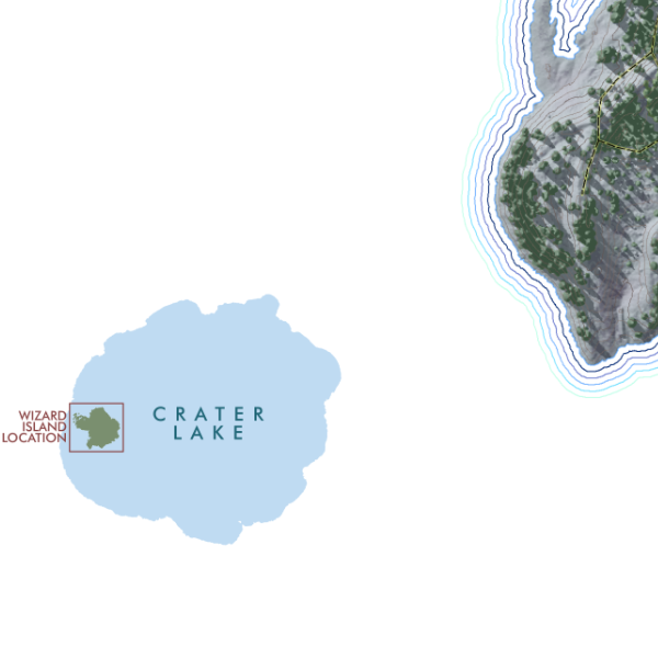
![Wizard Island [Oregon] (19 in x 13 in)](https://images.squarespace-cdn.com/content/v1/64dfe5c447627a1ab4b29d07/1695326300993-0JLTRQOZ5G9JXGTE15L1/WizardIsland1319_framed.JPG)