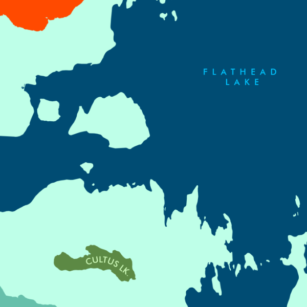
 Image 1 of 4
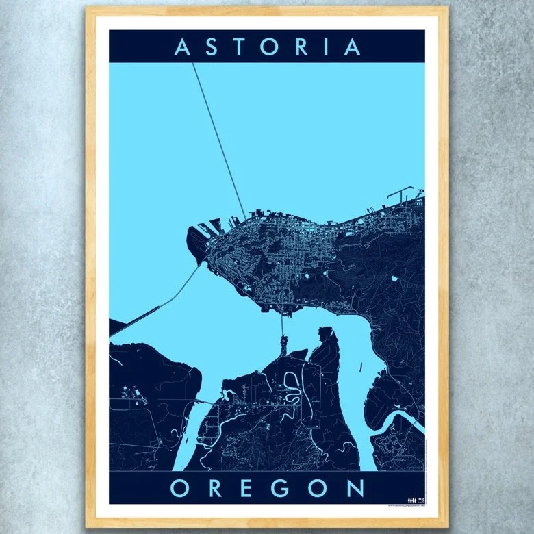
 Image 2 of 4
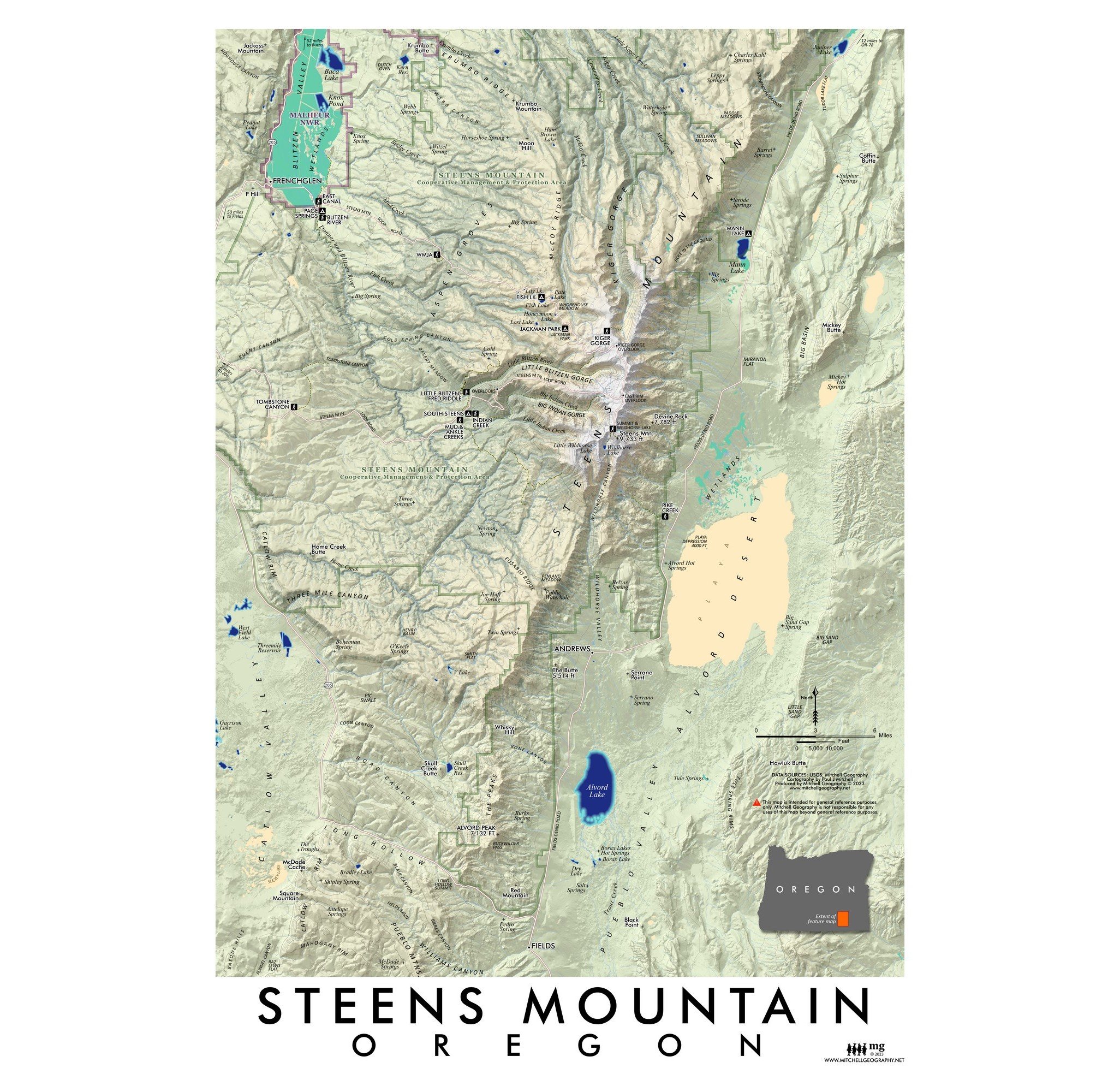
 Image 3 of 4
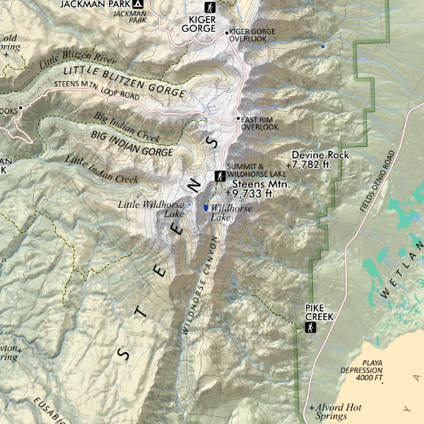
 Image 4 of 4
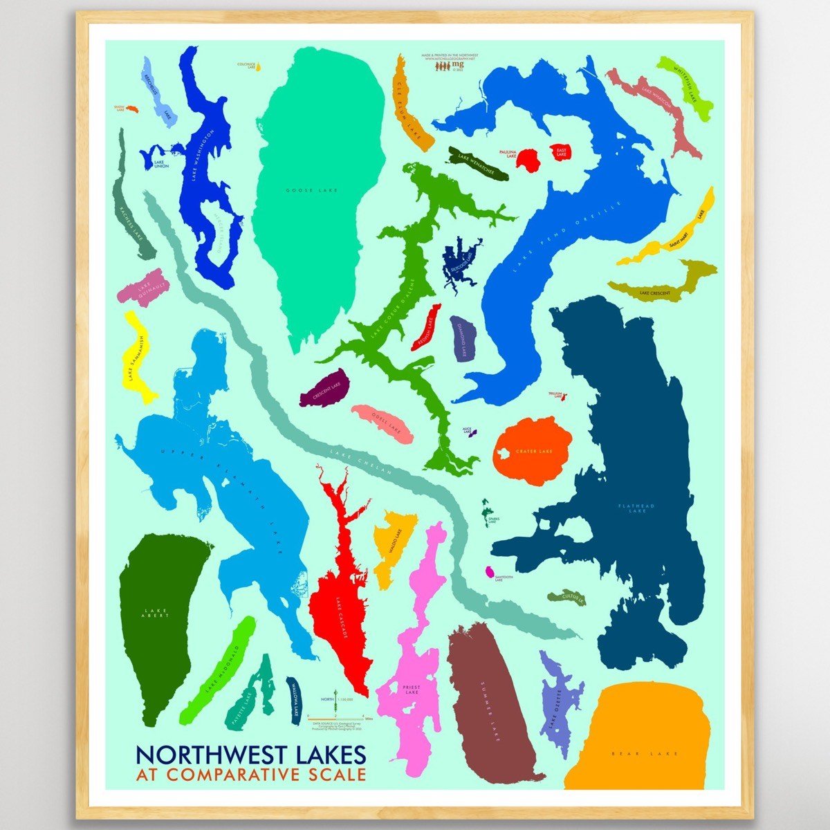
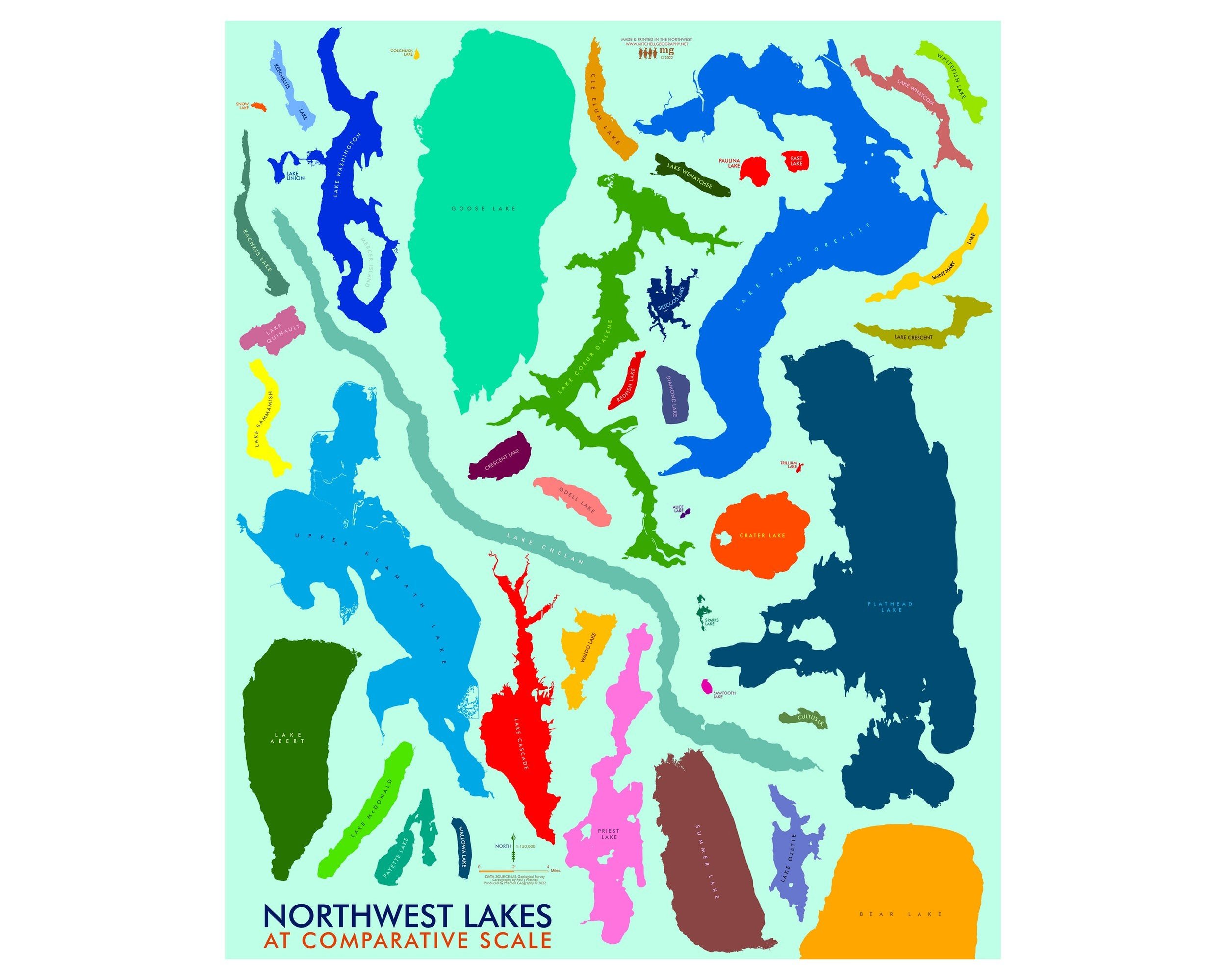
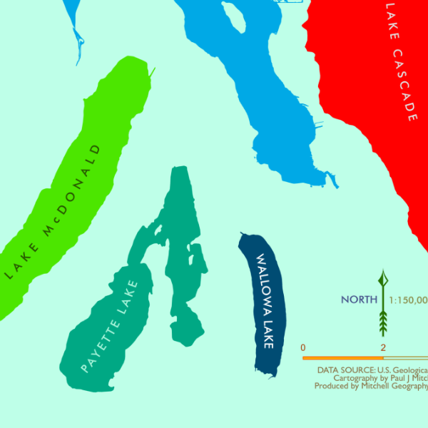
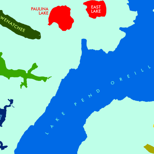
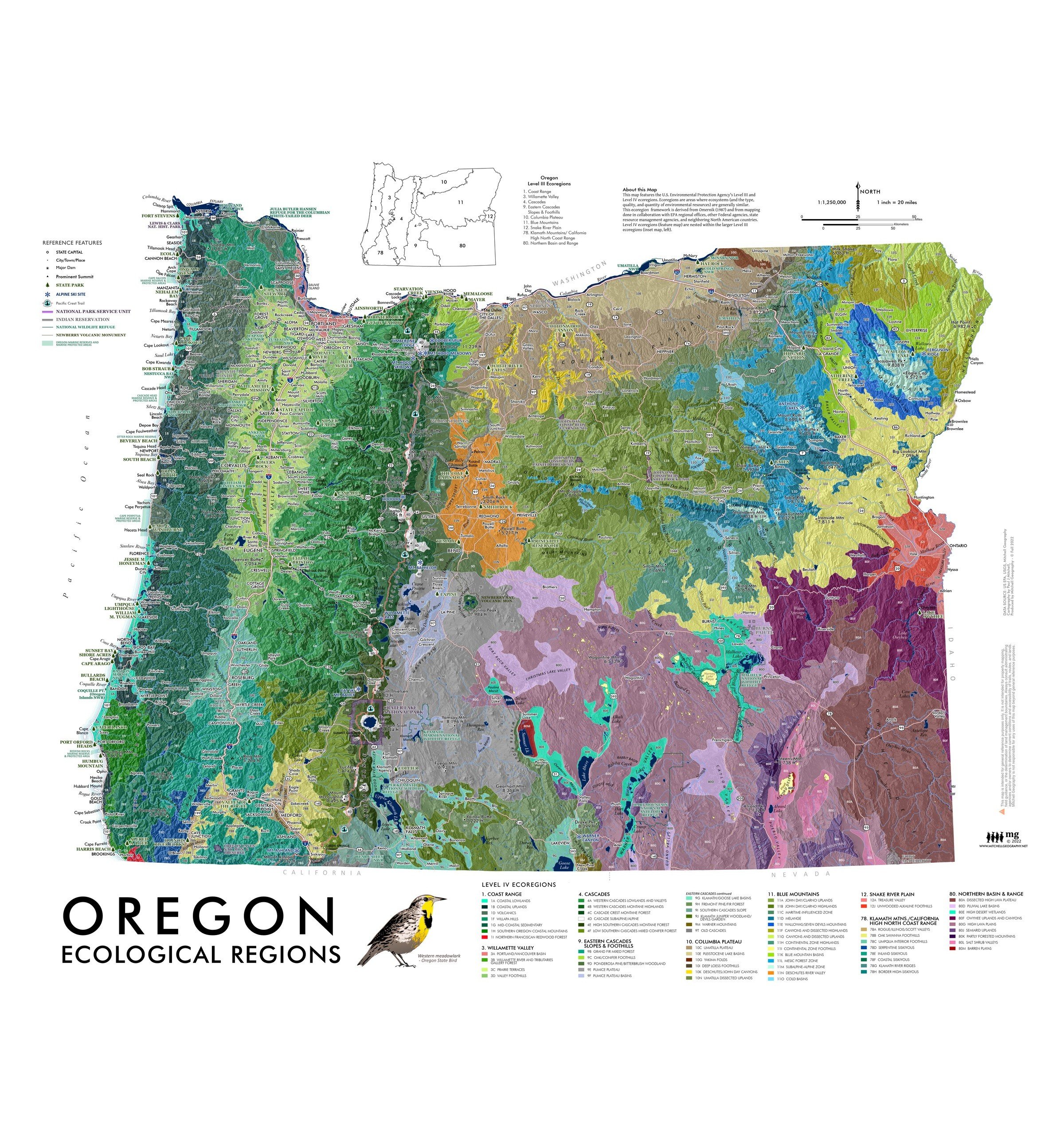
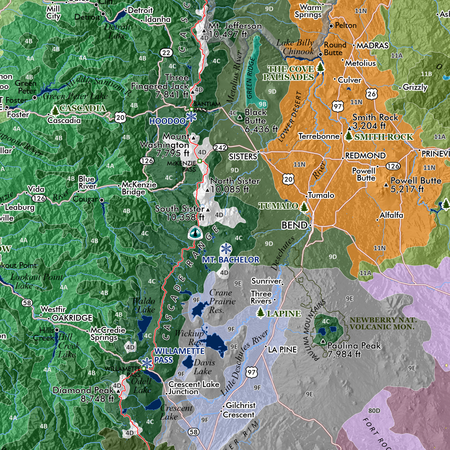
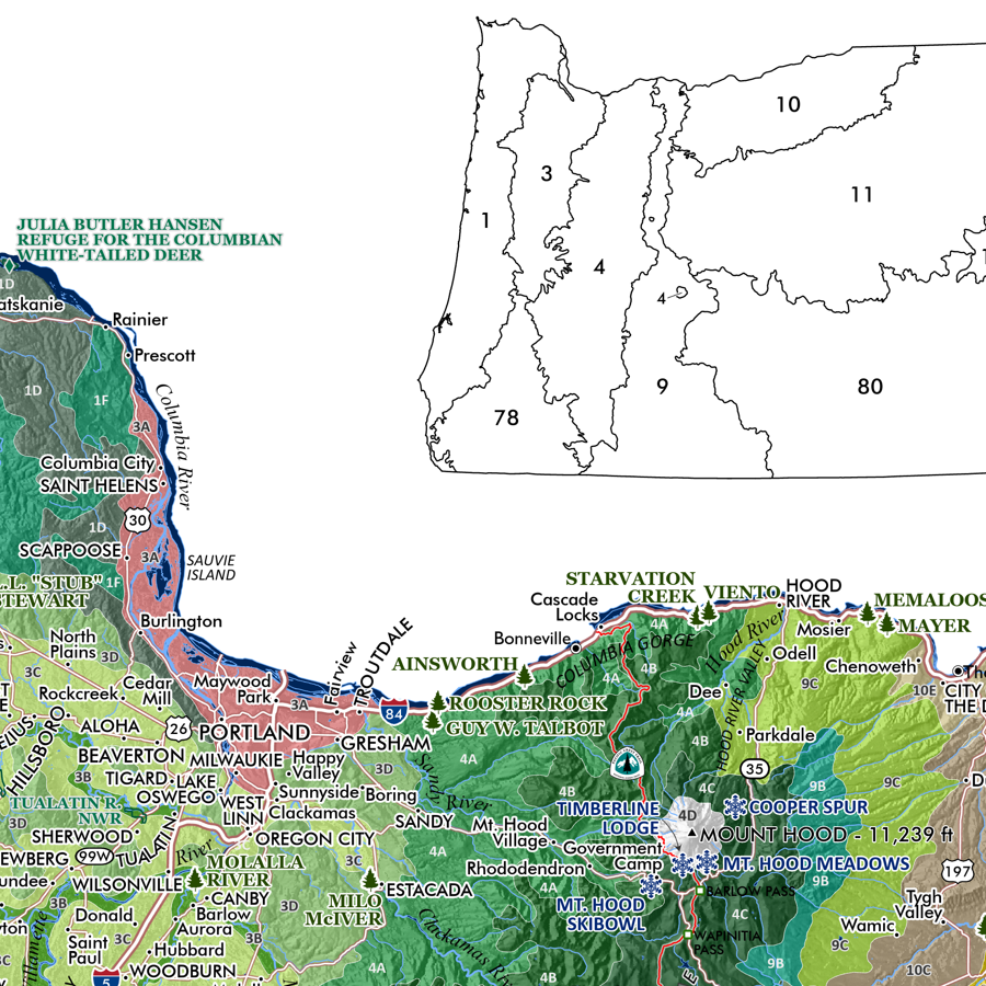
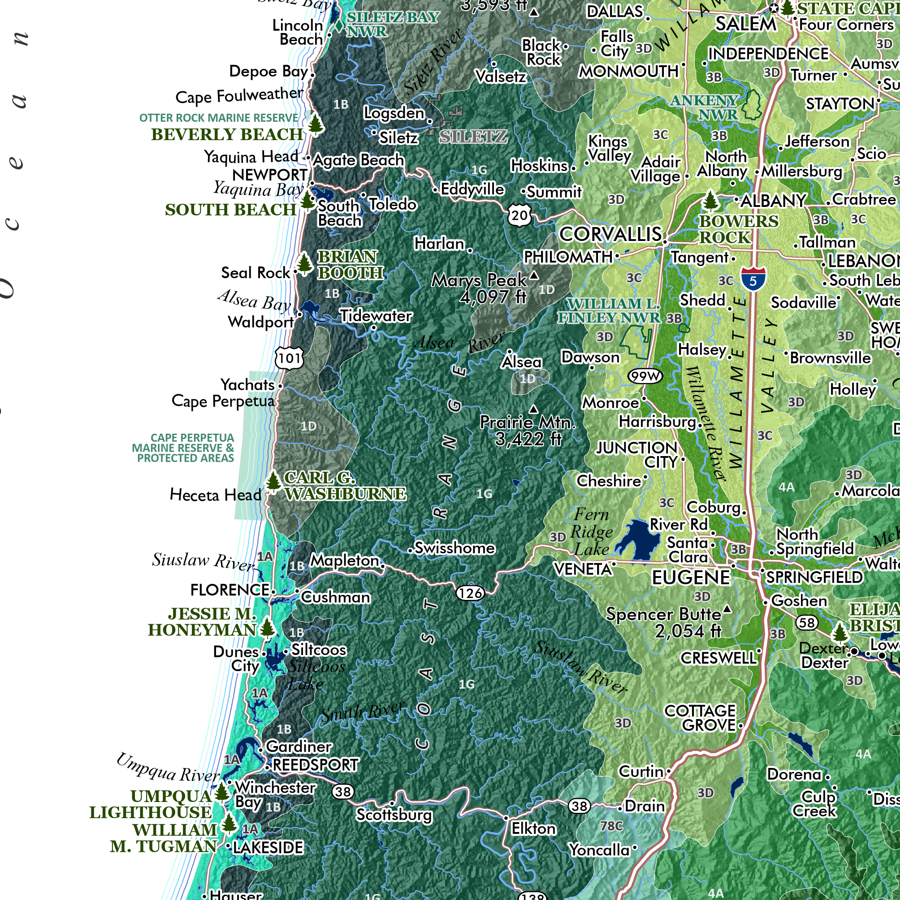
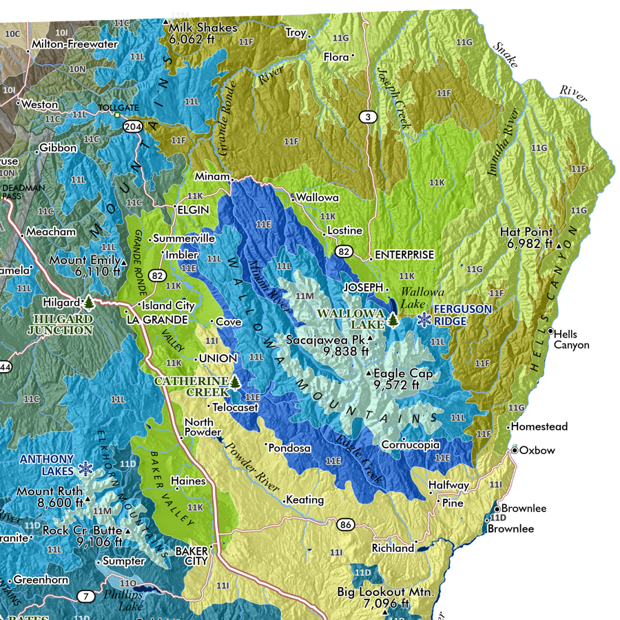
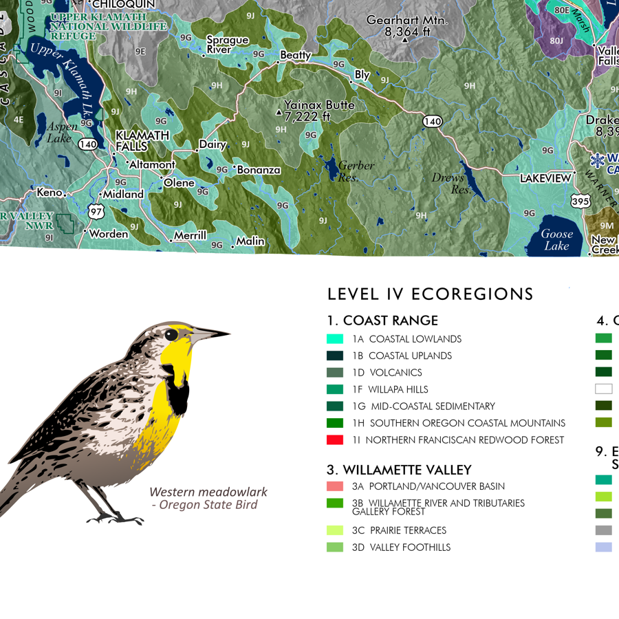
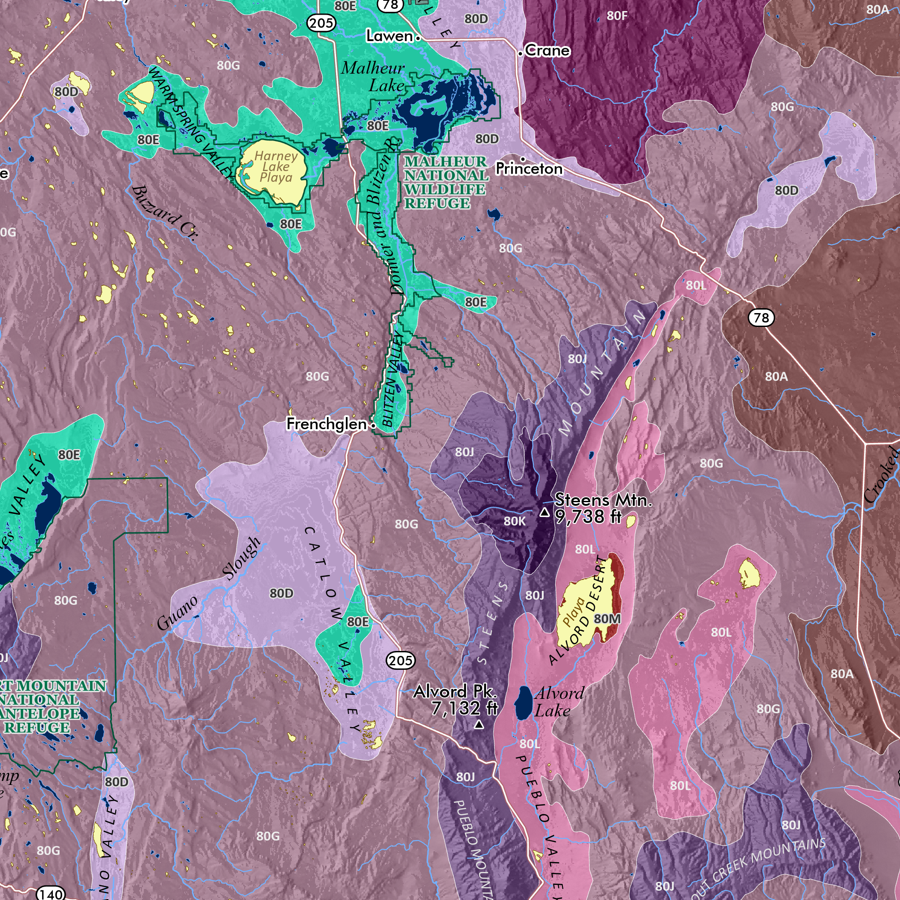
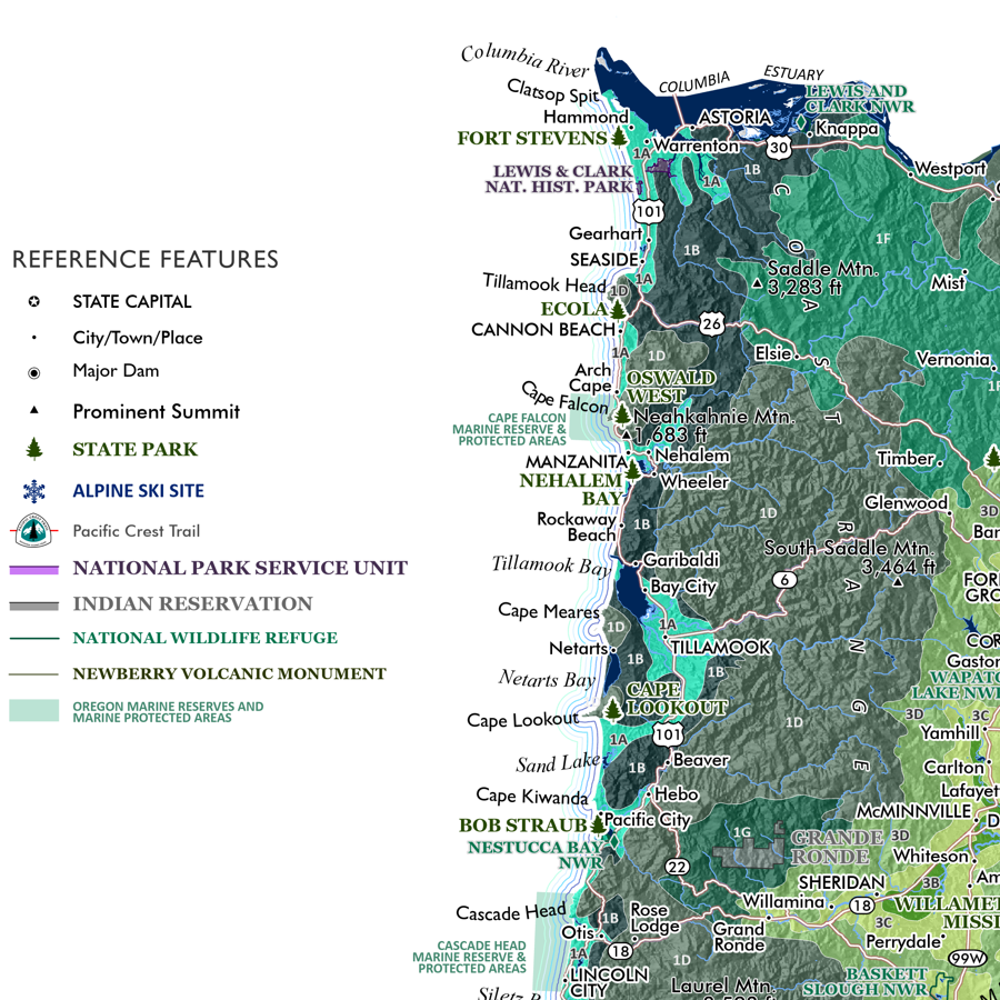
20 inch x 24 inch — flat wall map, printed on a heavy fine paper — shipped rolled.
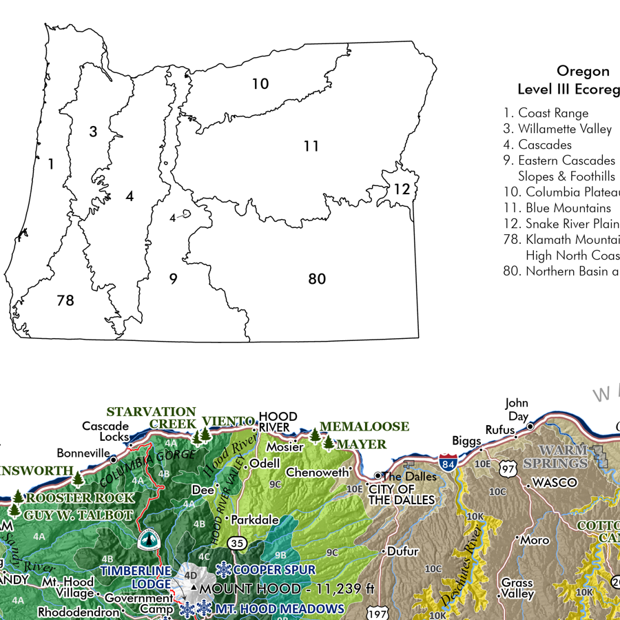
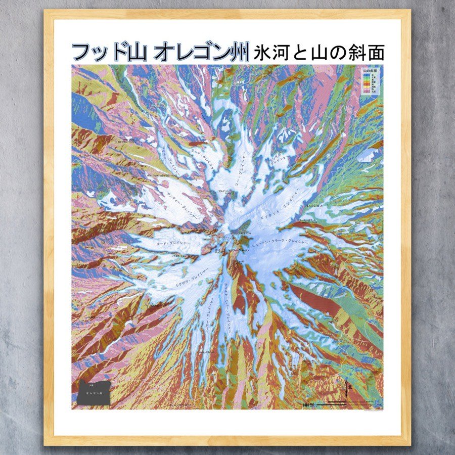
Mount Hood Slope Aspect, Oregon — Japanese language version. Folks ask me why I made this… and it’s for a few reasons. Firstly to commemorate the 1910 visit to Cooper Spur by Japanese climbers who left their names etched on “Hiroshima Rock”. Secondly to share a love for these northwestern landscapes with a culture and people that was during WWII condemned by Roosevelt from their West Coast communities to internment camps across the west, including here in Idaho at Minidoka. And thirdly, for a chance to see the beautiful Japanese language characters applied to a familiar place is enlightening. The translations have been reviewed and confirmed by two Japanese teachers — however please feel welcome to submit any corrections or suggestions so we can fix it for the next printing. No offenses of course are intended in the production of this map — is it made to connect us.
20 inch x 24 inch — flat wall map, printed on a heavy fine paper — shipped rolled.
Mount Hood Slope Aspect, Oregon — Japanese language version. Folks ask me why I made this… and it’s for a few reasons. Firstly to commemorate the 1910 visit to Cooper Spur by Japanese climbers who left their names etched on “Hiroshima Rock”. Secondly to share a love for these northwestern landscapes with a culture and people that was during WWII condemned by Roosevelt from their West Coast communities to internment camps across the west, including here in Idaho at Minidoka. And thirdly, for a chance to see the beautiful Japanese language characters applied to a familiar place is enlightening. The translations have been reviewed and confirmed by two Japanese teachers — however please feel welcome to submit any corrections or suggestions so we can fix it for the next printing. No offenses of course are intended in the production of this map — is it made to connect us.