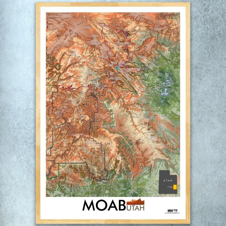
1:1,225,000
20 inch x 24 inch — flat wall map, printed on a heavy fine paper — shipped rolled.
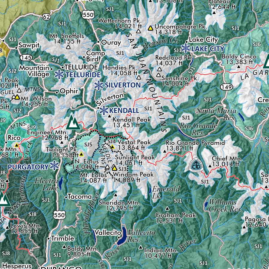
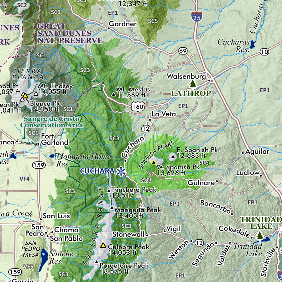
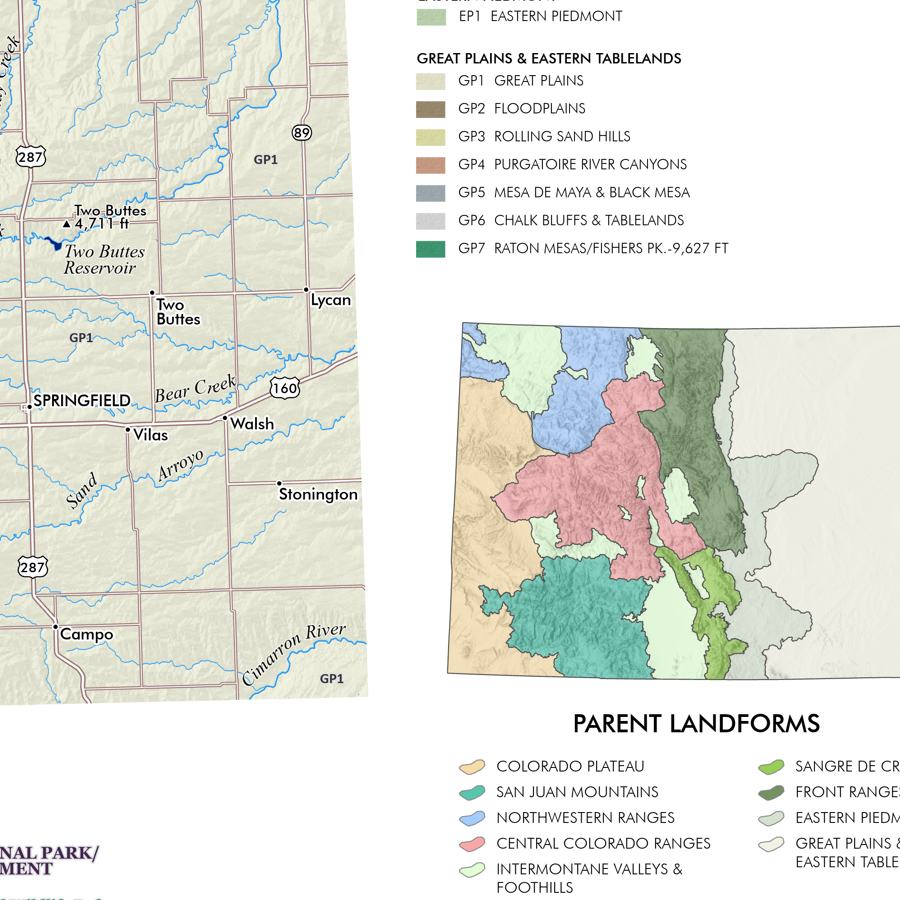
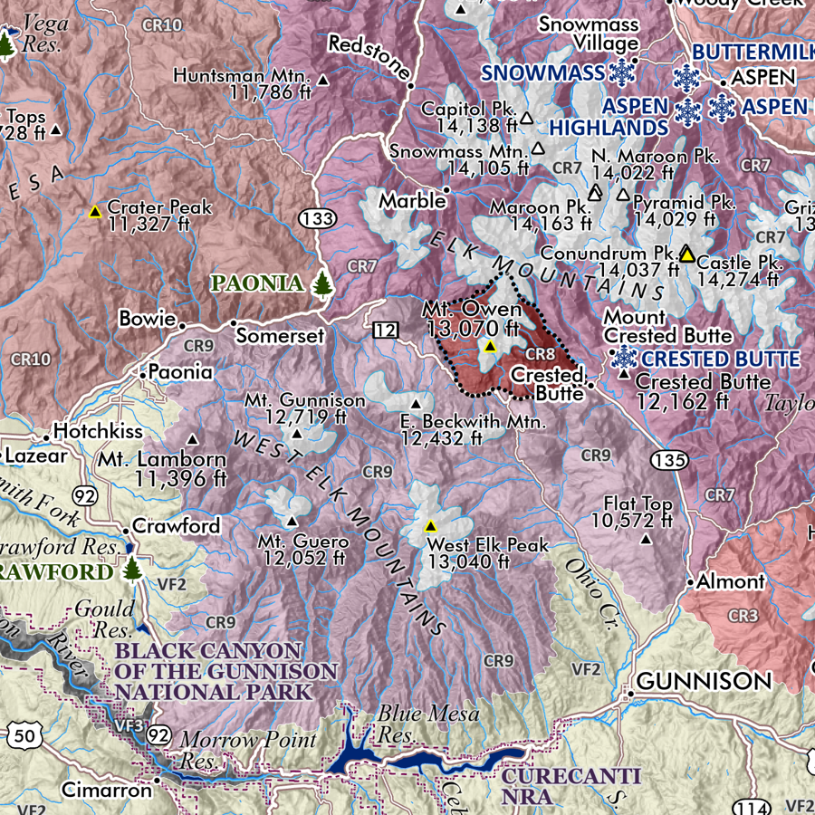
New Mexico Ecological Regions map (ecoregions map). A re-symbolization of the EPA's Level IV ecoregions for the landscapes of New Mexico. Includes inset New Mexico Level III reference map for context. Level IV classes are symbolized and listed individually in the key for the feature map.
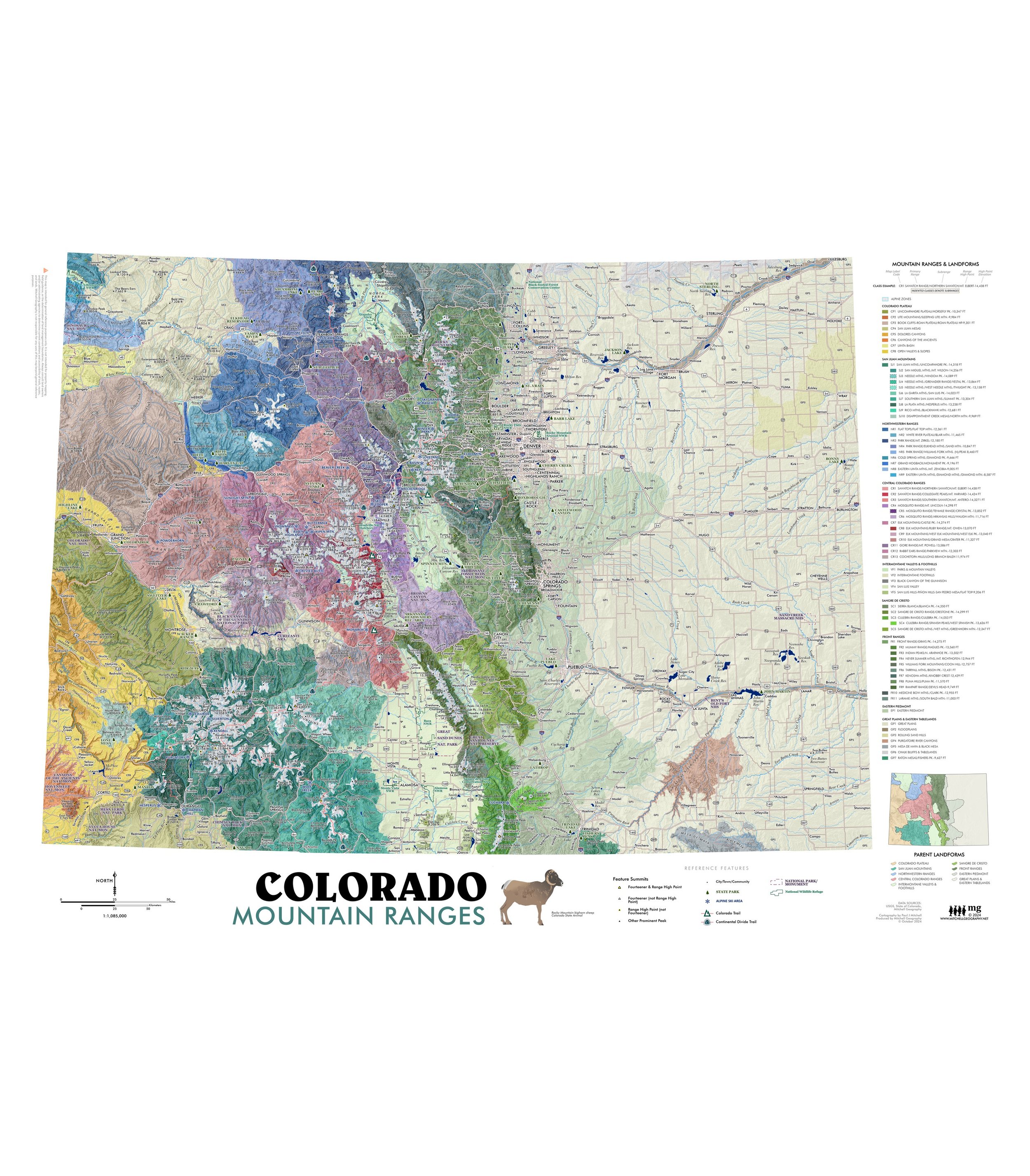
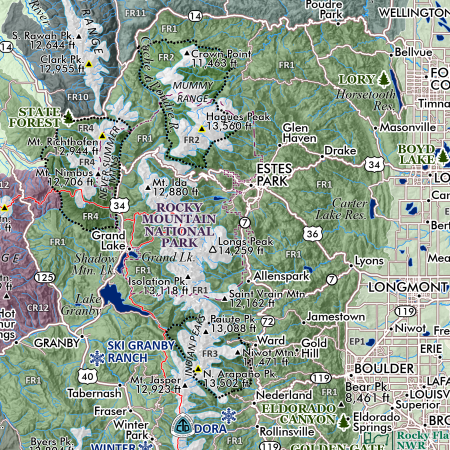
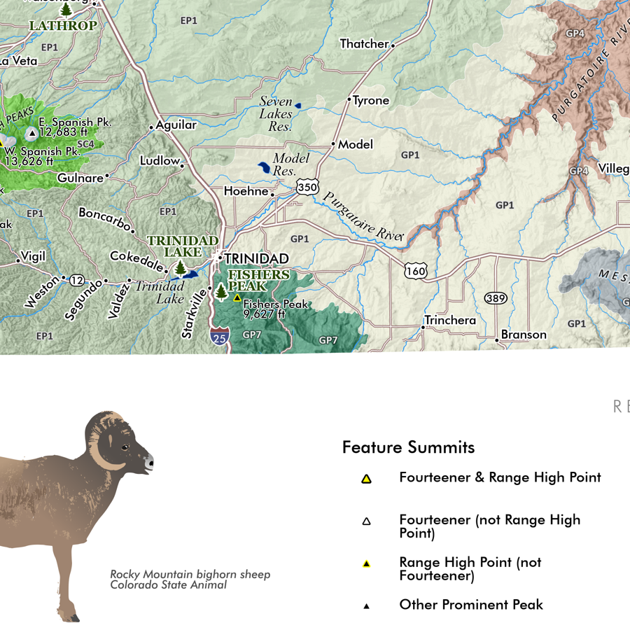
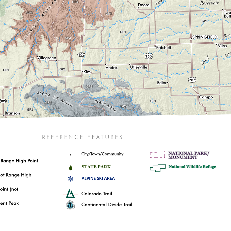
Reference features include:
City/Town/Community place names
Pueblo/Tribe/Nation boundaries
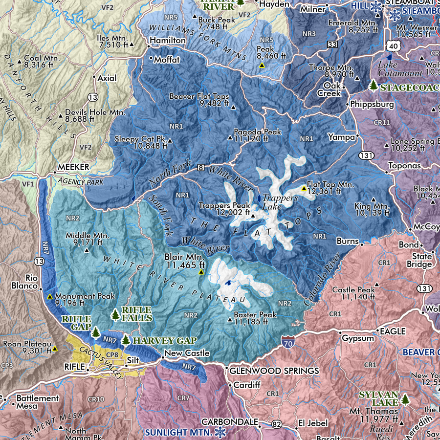
Summits and High Points of Interest
State Parks
Alpine Ski Areas
Hot Springs
Other Features of Interest
Grand Enchantment Trail route
Continental Divide Trail route
National Park/Monument
National Wildlife Refuge
Federal Designated Wilderness
1:1,225,000
20 inch x 24 inch — flat wall map, printed on a heavy fine paper — shipped rolled.
New Mexico Ecological Regions map (ecoregions map). A re-symbolization of the EPA's Level IV ecoregions for the landscapes of New Mexico. Includes inset New Mexico Level III reference map for context. Level IV classes are symbolized and listed individually in the key for the feature map.
Reference features include:
City/Town/Community place names
Pueblo/Tribe/Nation boundaries
Summits and High Points of Interest
State Parks
Alpine Ski Areas
Hot Springs
Other Features of Interest
Grand Enchantment Trail route
Continental Divide Trail route
National Park/Monument
National Wildlife Refuge
Federal Designated Wilderness

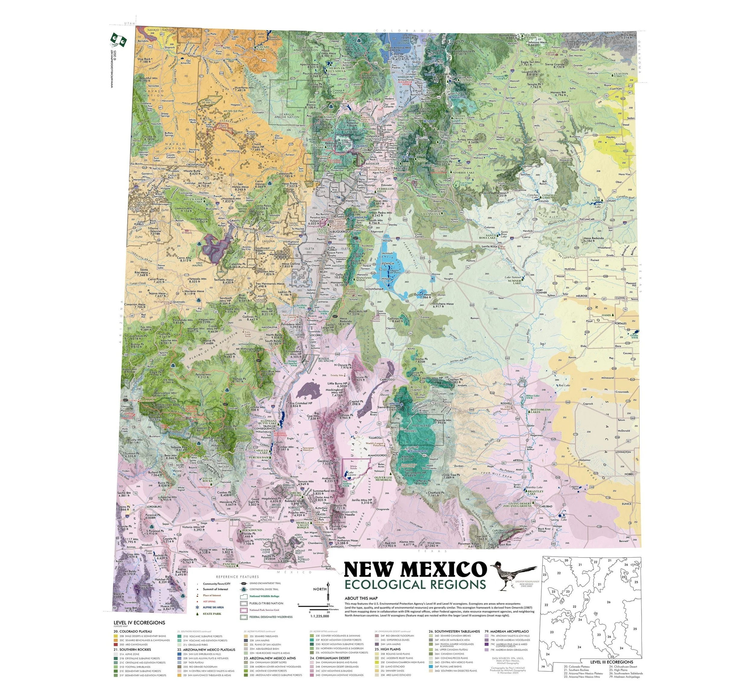 Image 1 of 9
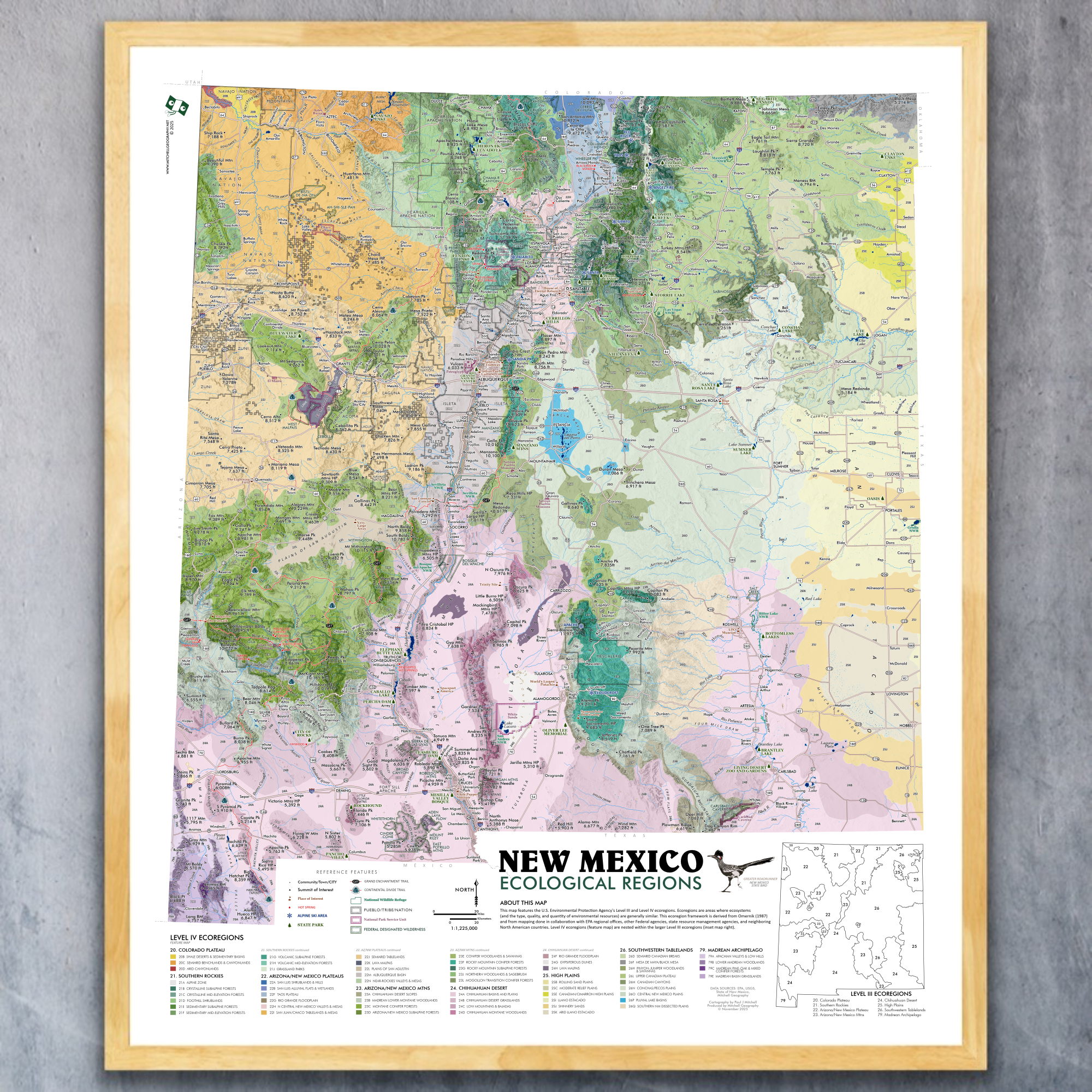 Image 2 of 9
 Image 3 of 9
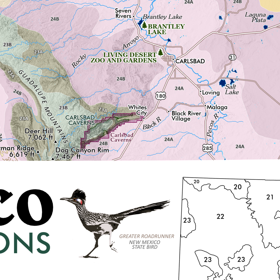 Image 4 of 9
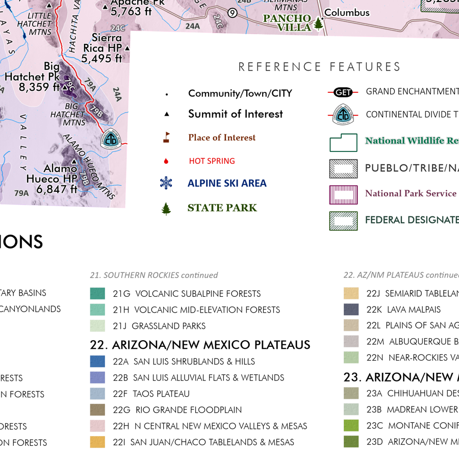 Image 5 of 9
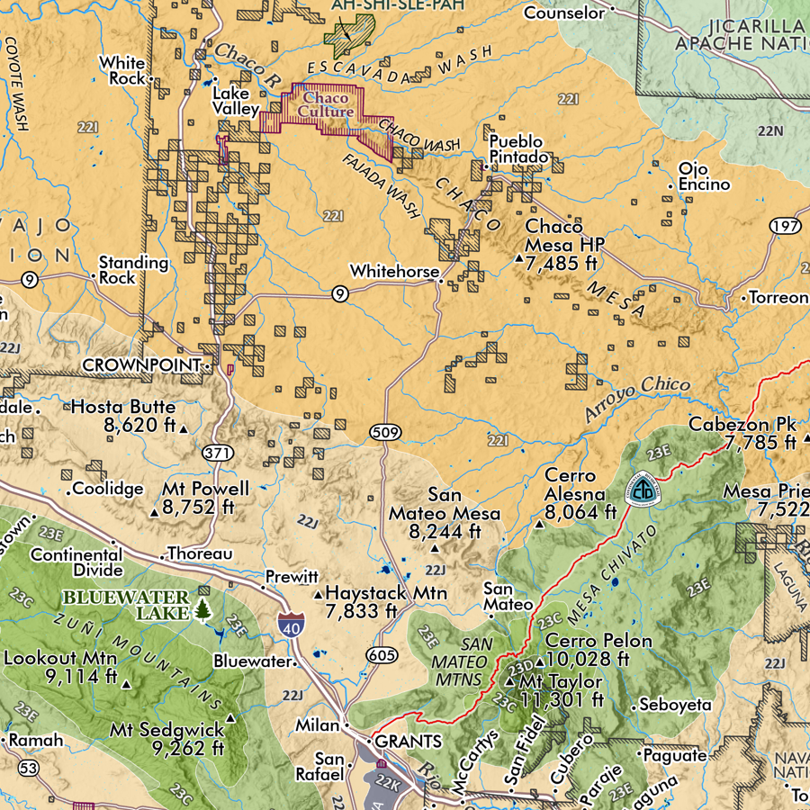 Image 6 of 9
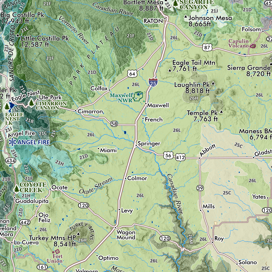 Image 7 of 9
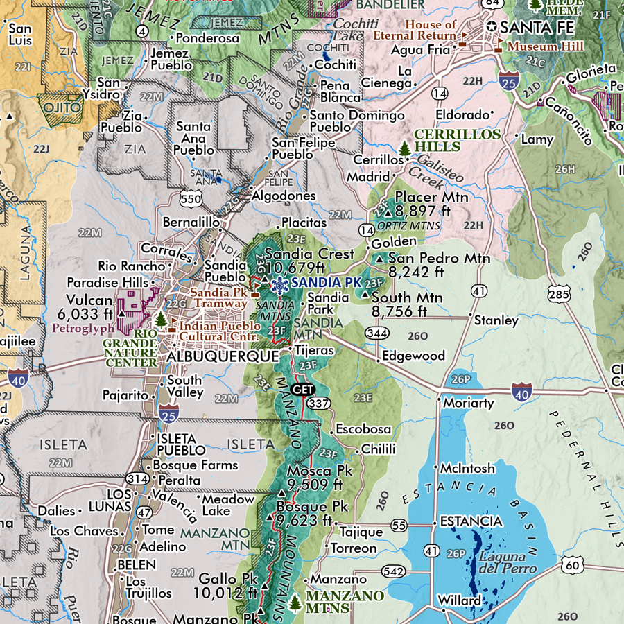 Image 8 of 9
 Image 9 of 9