1:1,225,000
20 inch x 24 inch — flat wall map, printed on a heavy fine paper — shipped rolled.
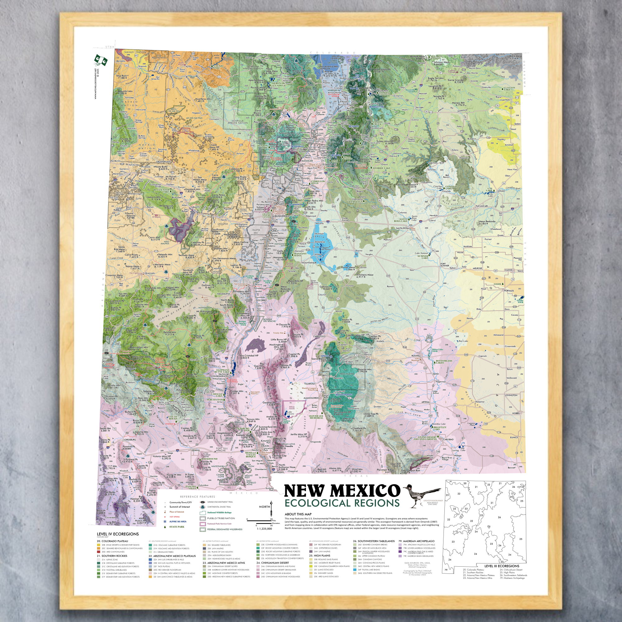
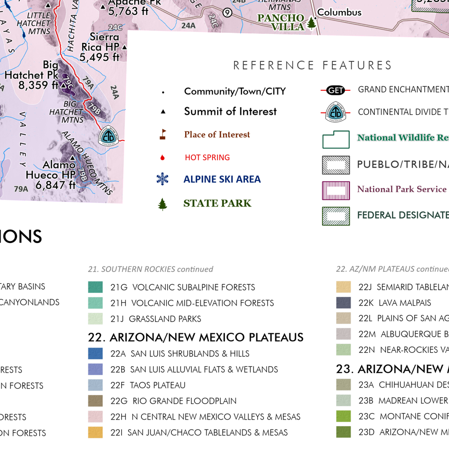
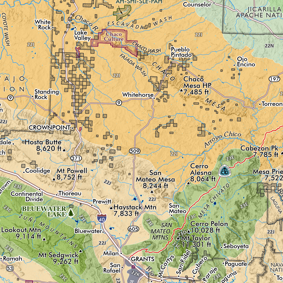
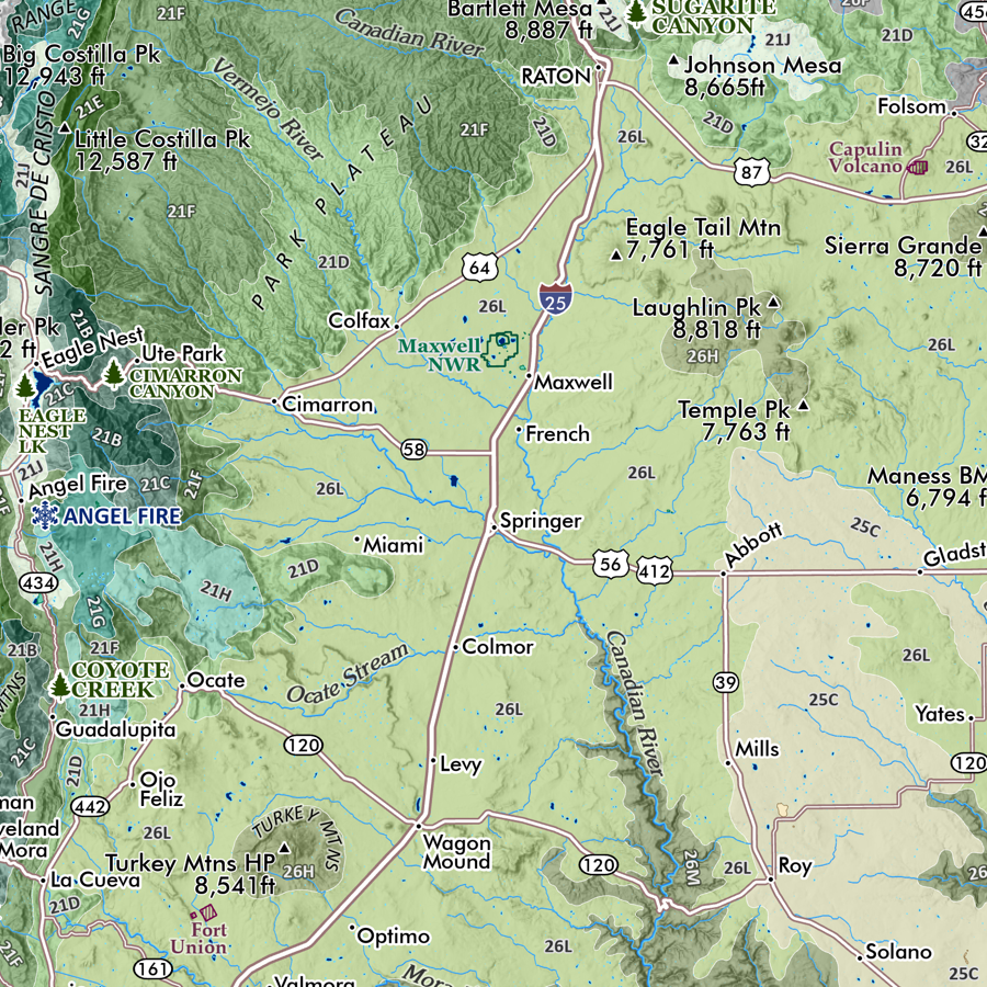
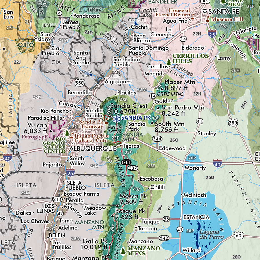
New Mexico State Map. A general reference map of New Mexico with detailed annotation of place names, landforms, and an environmental/conservation interest including wilderness areas, parks, and long distance trail routes (i.e. Grand Enchantment Trail & the Continental Divide Trail).
Reference features include:
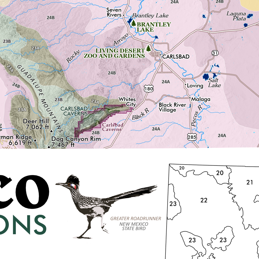
City/Town/Community place names
Pueblo/Tribe/Nation boundaries
Summits and High Points of Interest
State Parks
Alpine Ski Areas
Hot Springs
Other Features of Interest
Grand Enchantment Trail route
Continental Divide Trail route
National Park/Monument
National Wildlife Refuge
Federal Designated Wilderness
1:1,225,000
20 inch x 24 inch — flat wall map, printed on a heavy fine paper — shipped rolled.
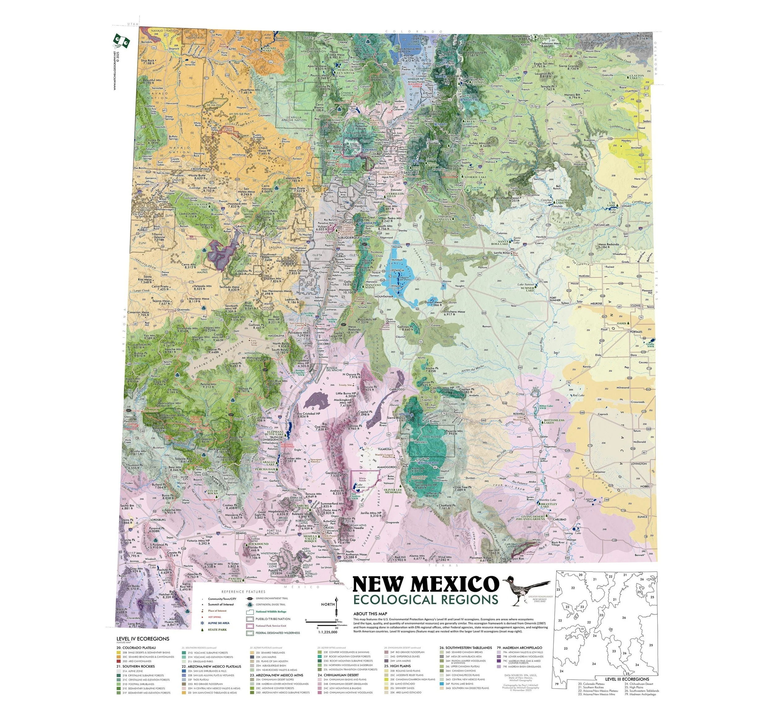
New Mexico State Map. A general reference map of New Mexico with detailed annotation of place names, landforms, and an environmental/conservation interest including wilderness areas, parks, and long distance trail routes (i.e. Grand Enchantment Trail & the Continental Divide Trail).
Reference features include:
City/Town/Community place names
Pueblo/Tribe/Nation boundaries
Summits and High Points of Interest
State Parks
Alpine Ski Areas
Hot Springs
Other Features of Interest
Grand Enchantment Trail route
Continental Divide Trail route
National Park/Monument
National Wildlife Refuge
Federal Designated Wilderness

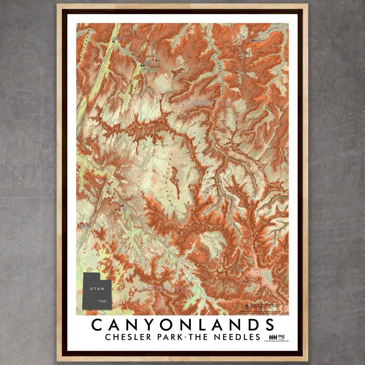
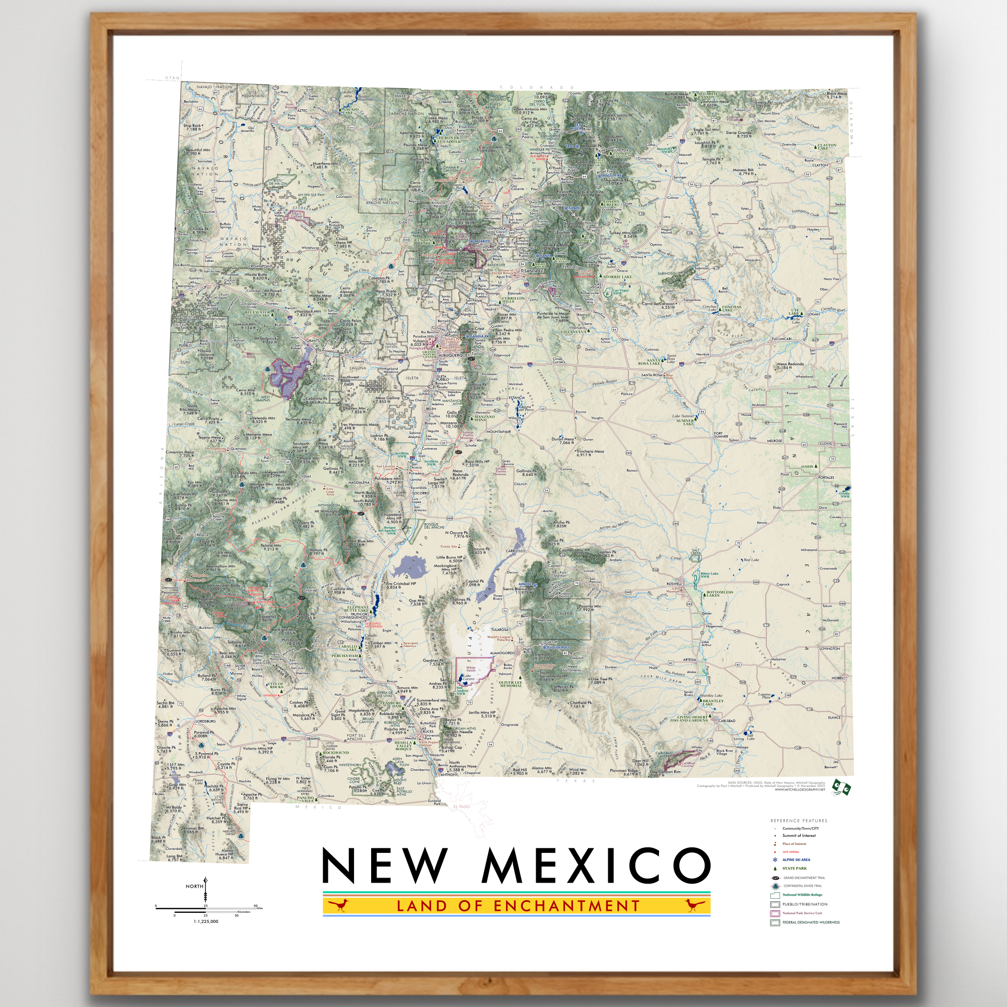 Image 1 of 9
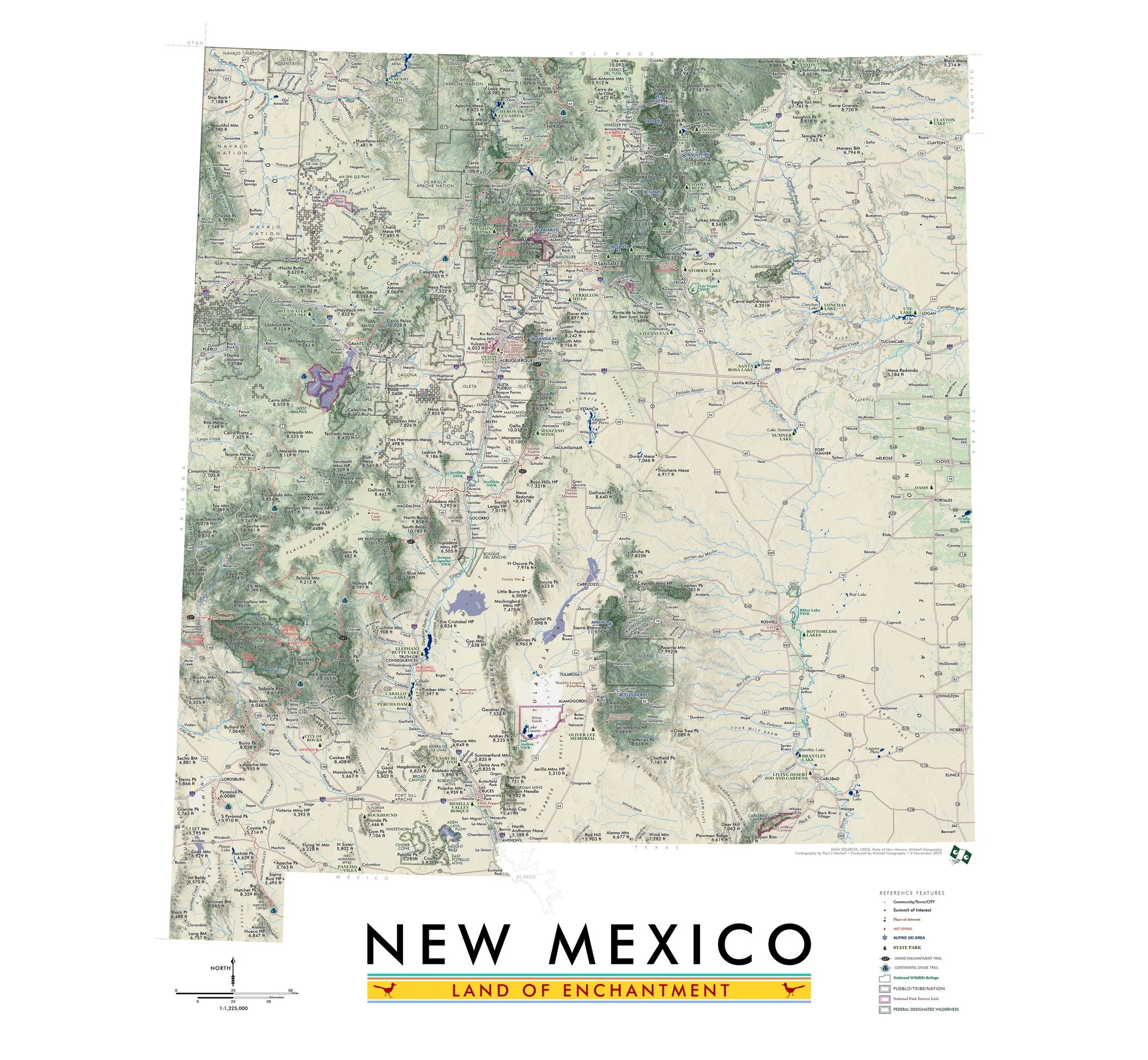 Image 2 of 9
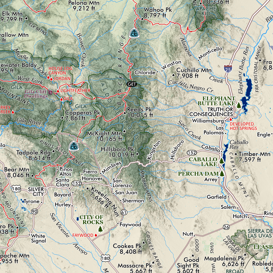 Image 3 of 9
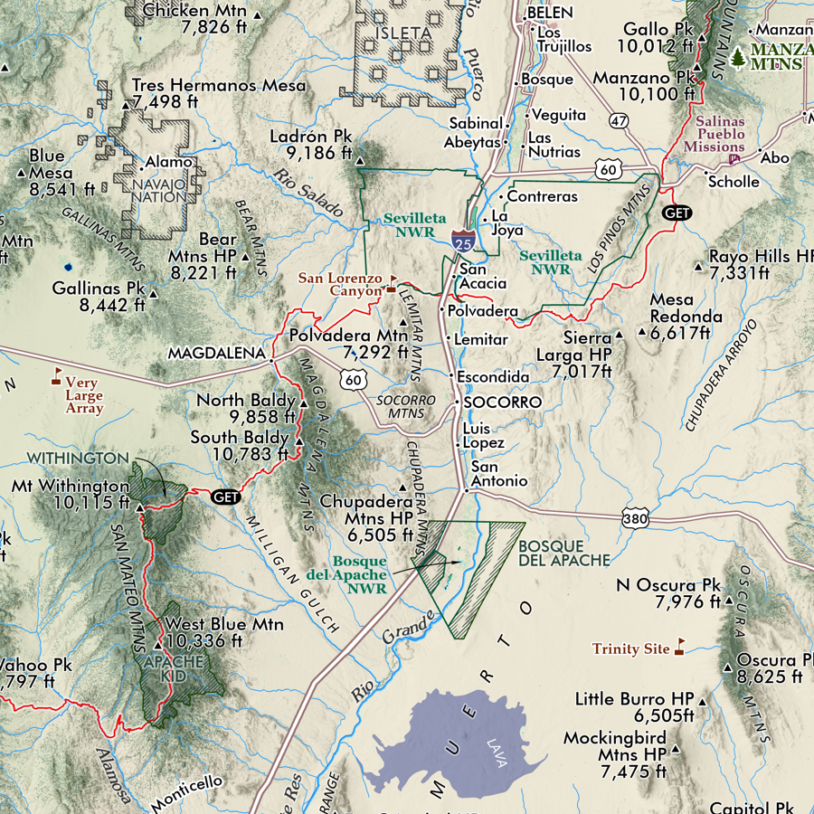 Image 4 of 9
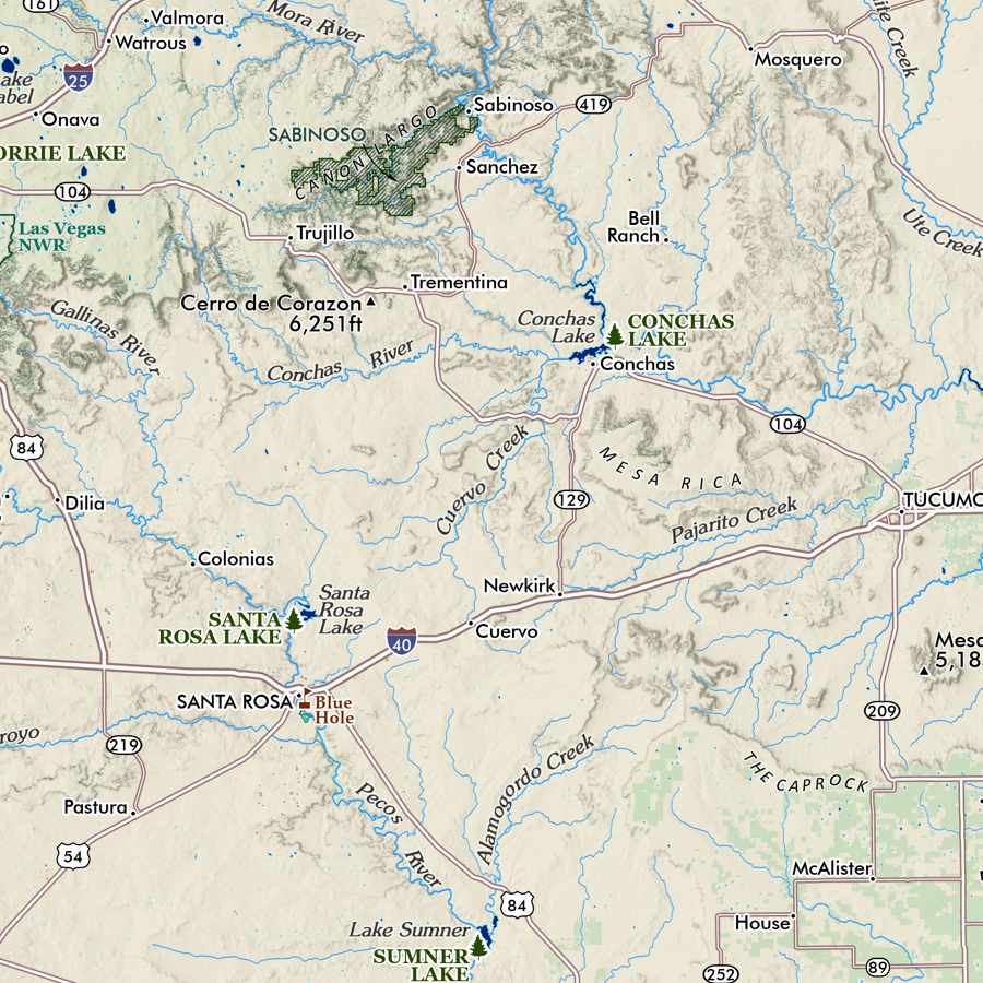 Image 5 of 9
 Image 6 of 9
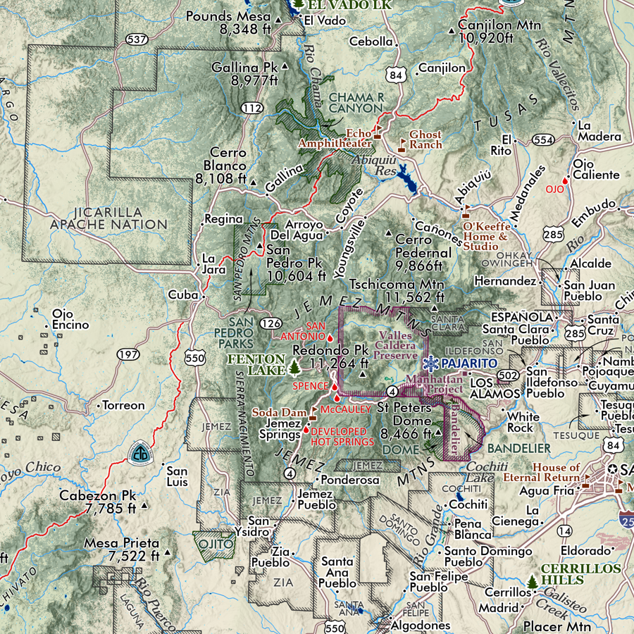 Image 7 of 9
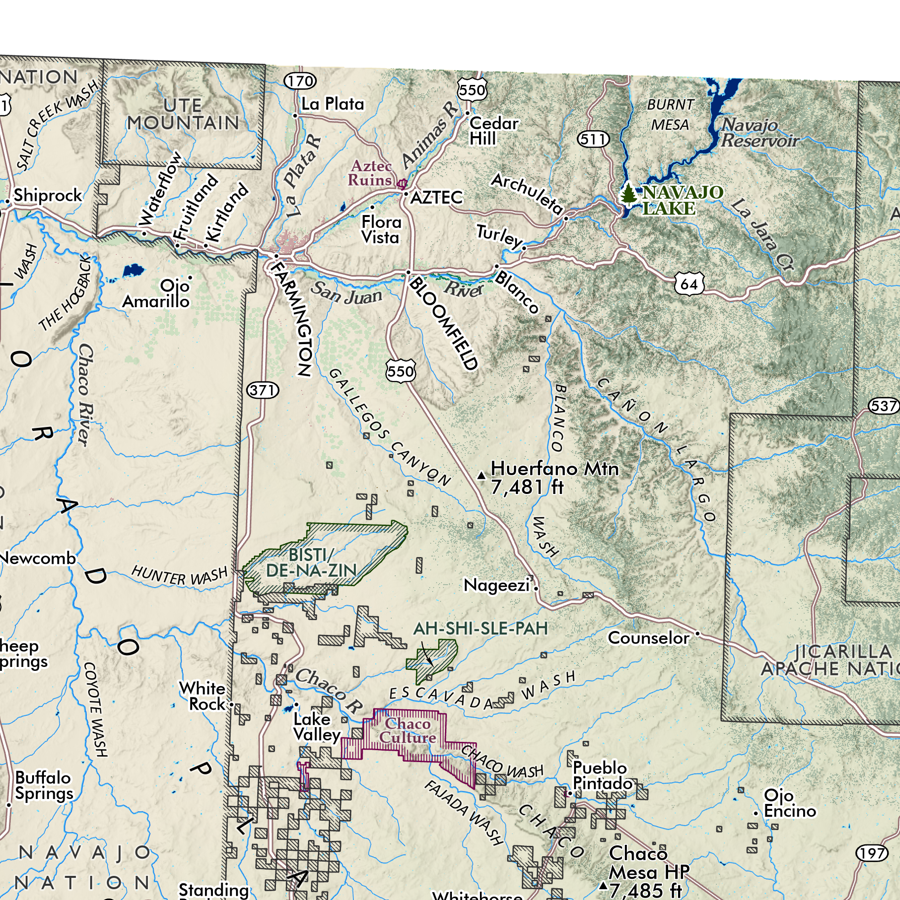 Image 8 of 9
 Image 9 of 9