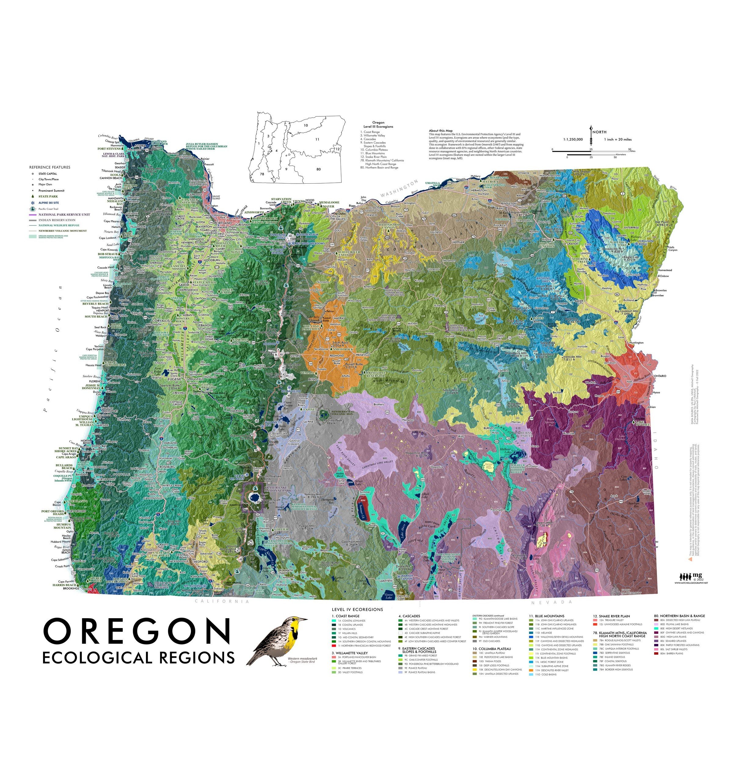
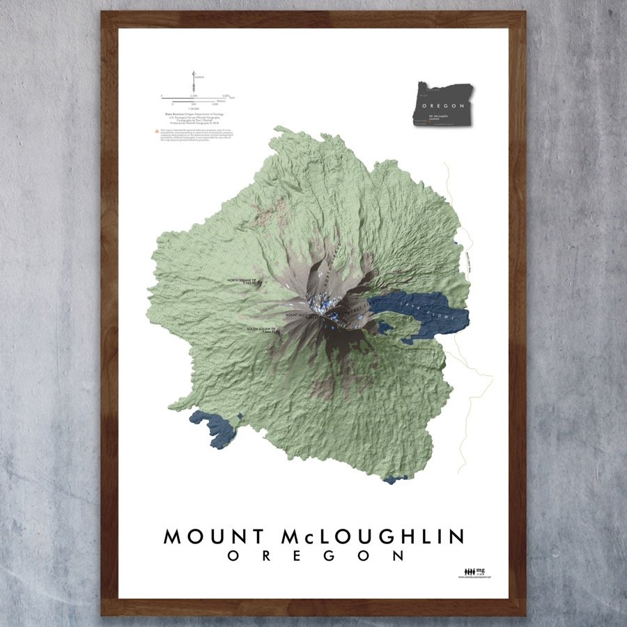
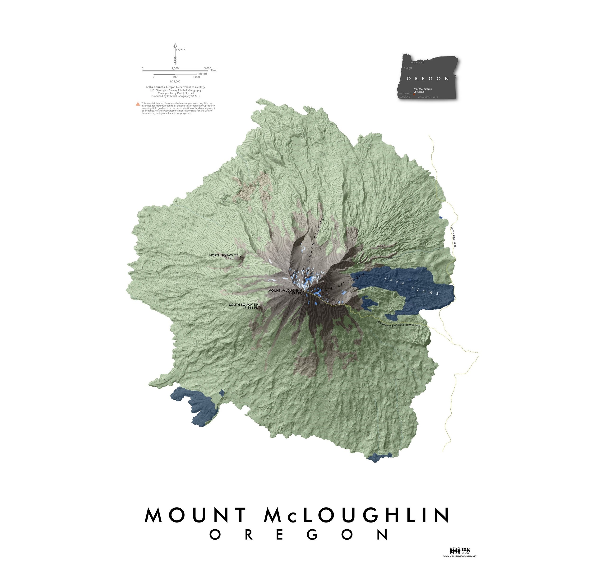
1:1,250,000
20 inch by 24 inch flat wall map, printed on heavy fine paper. Shipped rolled.
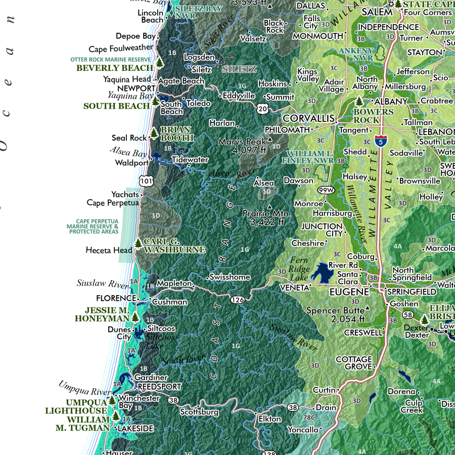
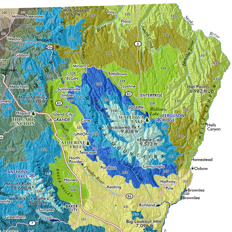
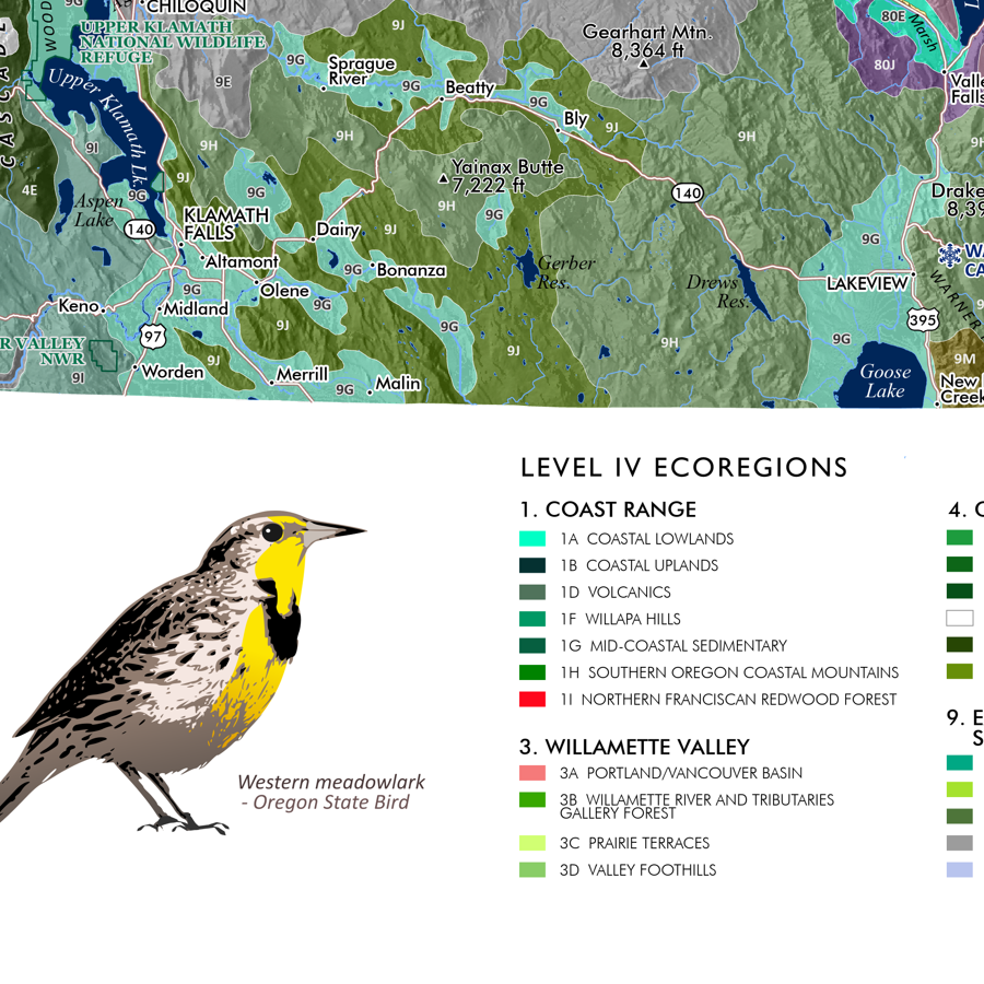
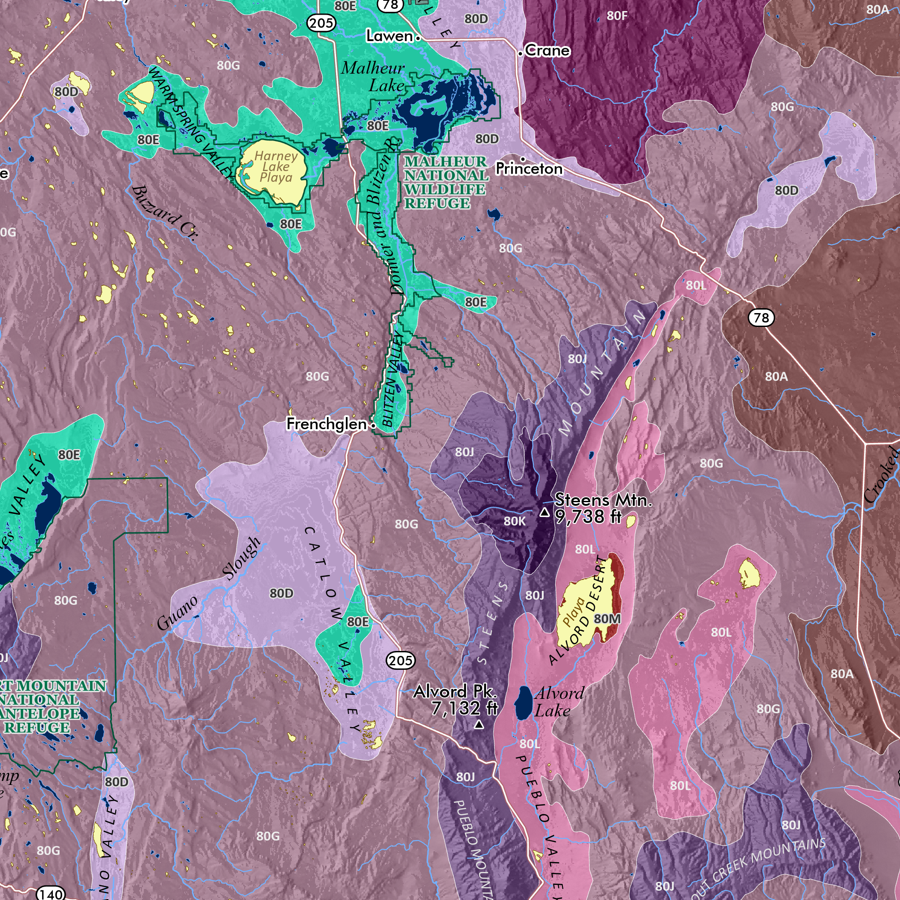
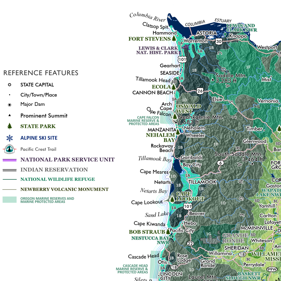
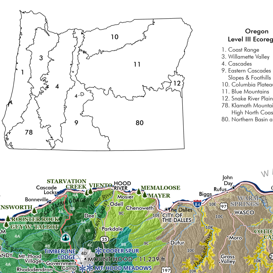
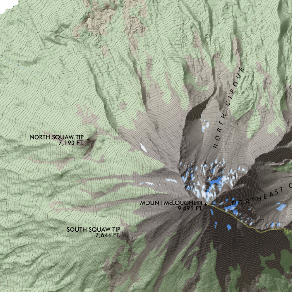
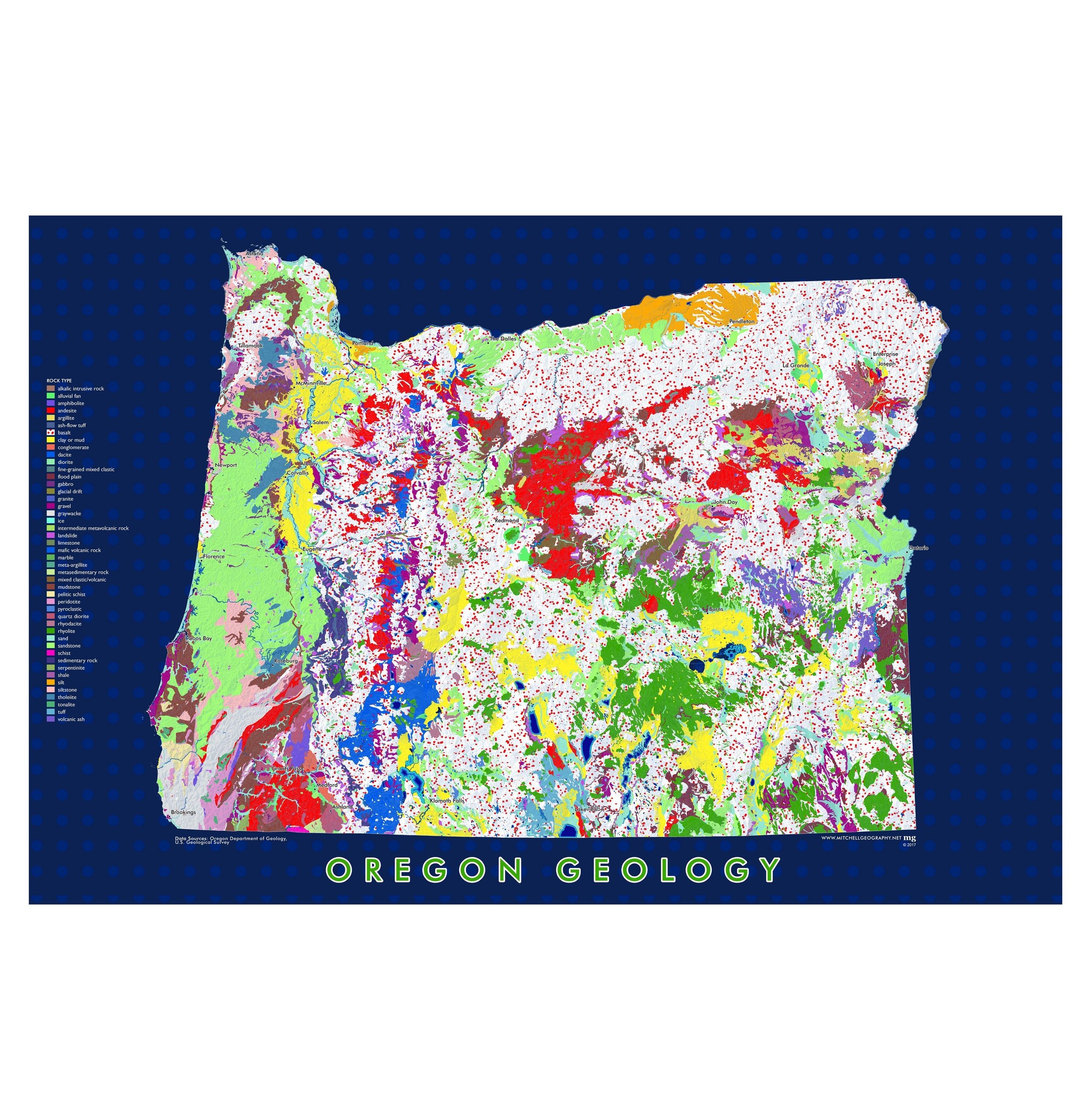
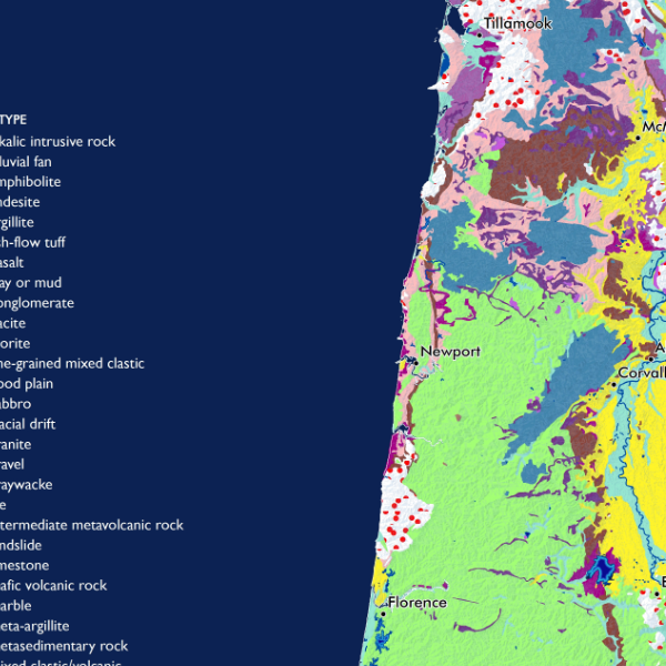
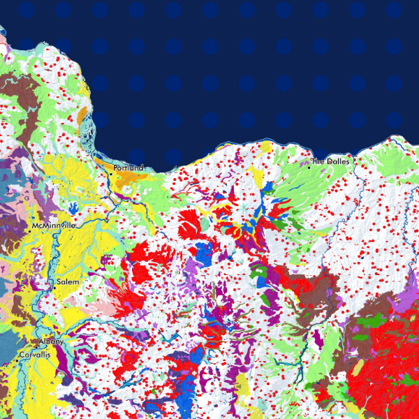
State of Oregon. A general reference map of Oregon. Featuring a classic landscape tint of the forested, agricultural, and urban lands. Detailed reference labels includes cities/towns/places, state parks, alpine ski areas, highways/major roads, prominent summits of interest, landforms of significance, National Park units, Indian Reservations, National Wildlife Refuges, and Oregon Marine Reserves and Protected areas.
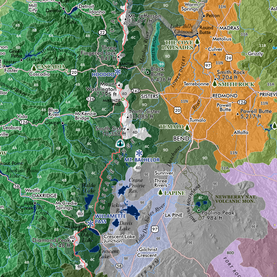
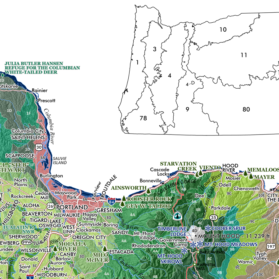
1:1,250,000
20 inch by 24 inch flat wall map, printed on heavy fine paper. Shipped rolled.
State of Oregon. A general reference map of Oregon. Featuring a classic landscape tint of the forested, agricultural, and urban lands. Detailed reference labels includes cities/towns/places, state parks, alpine ski areas, highways/major roads, prominent summits of interest, landforms of significance, National Park units, Indian Reservations, National Wildlife Refuges, and Oregon Marine Reserves and Protected areas.

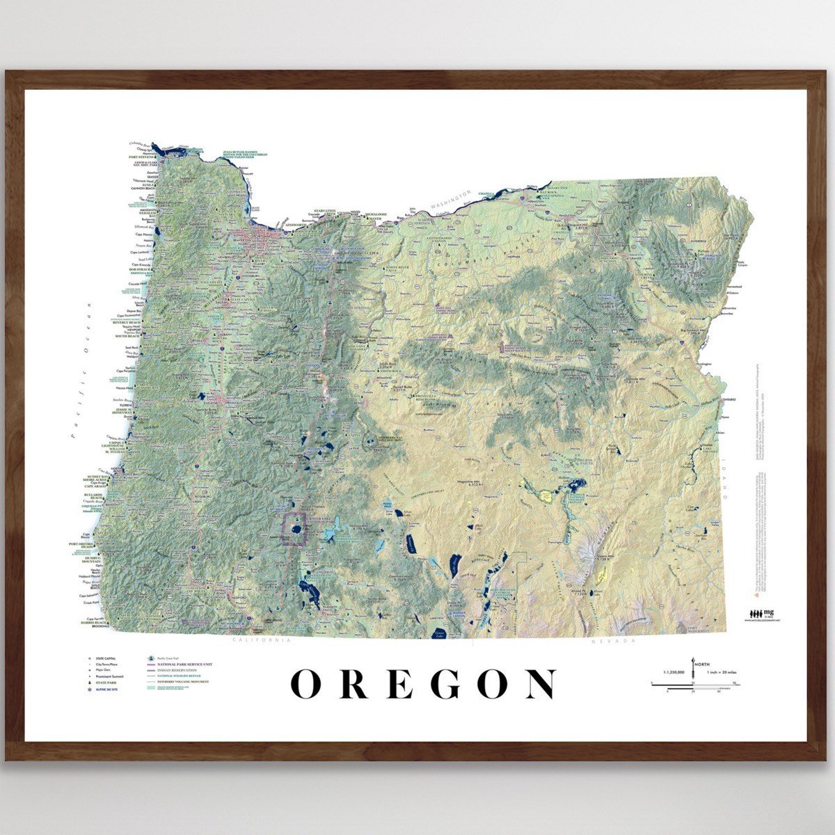 Image 1 of 8
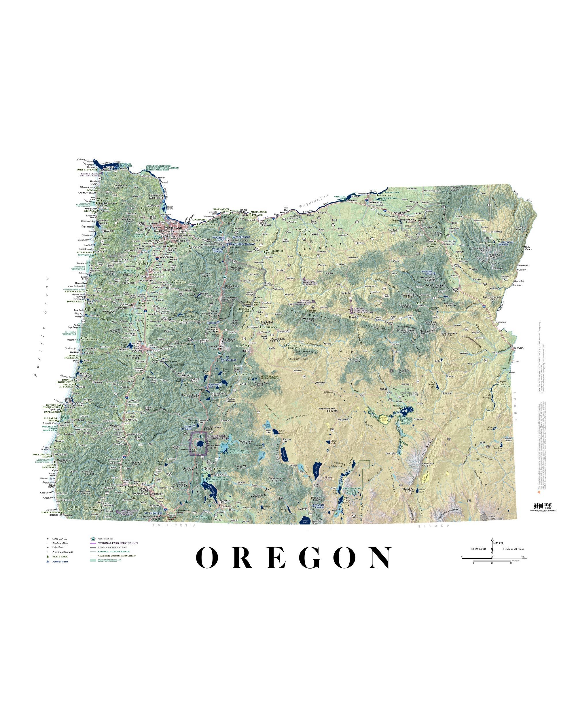 Image 2 of 8
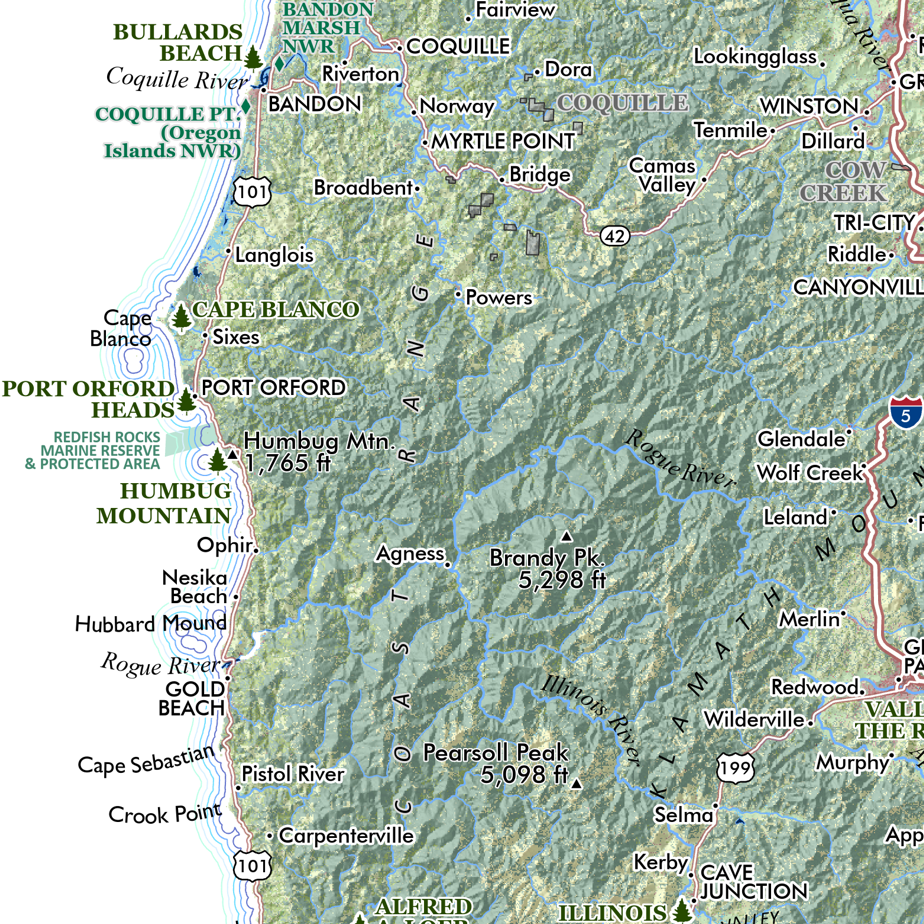 Image 3 of 8
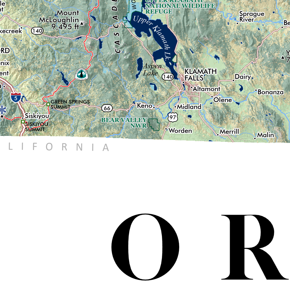 Image 4 of 8
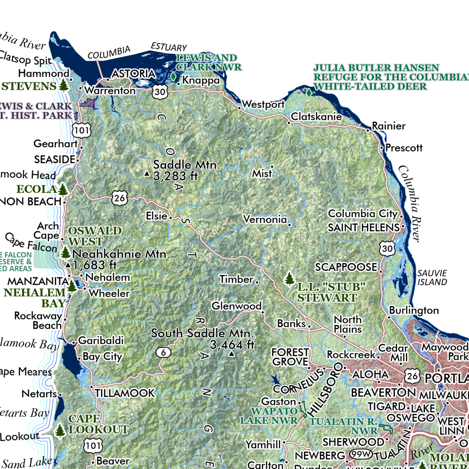 Image 5 of 8
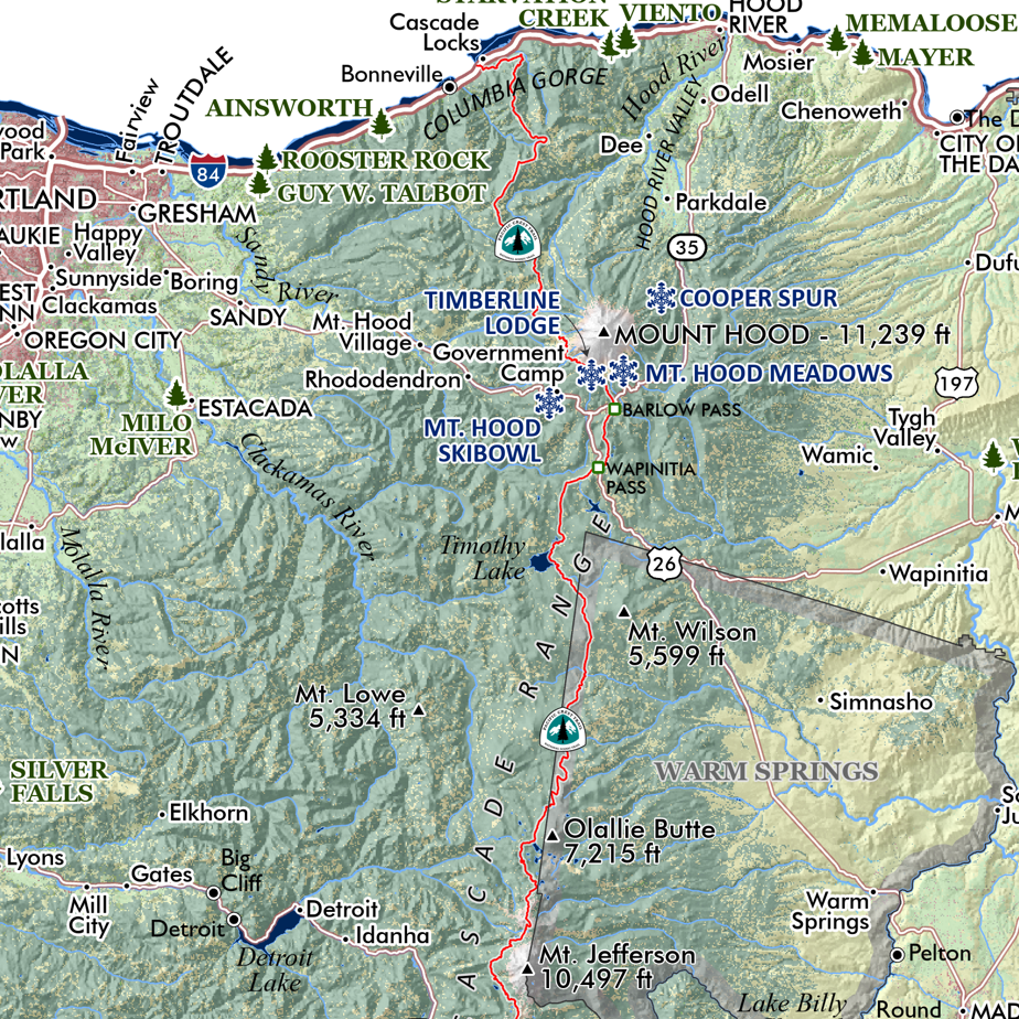 Image 6 of 8
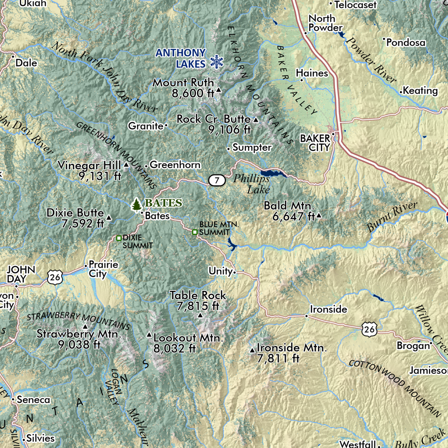 Image 7 of 8
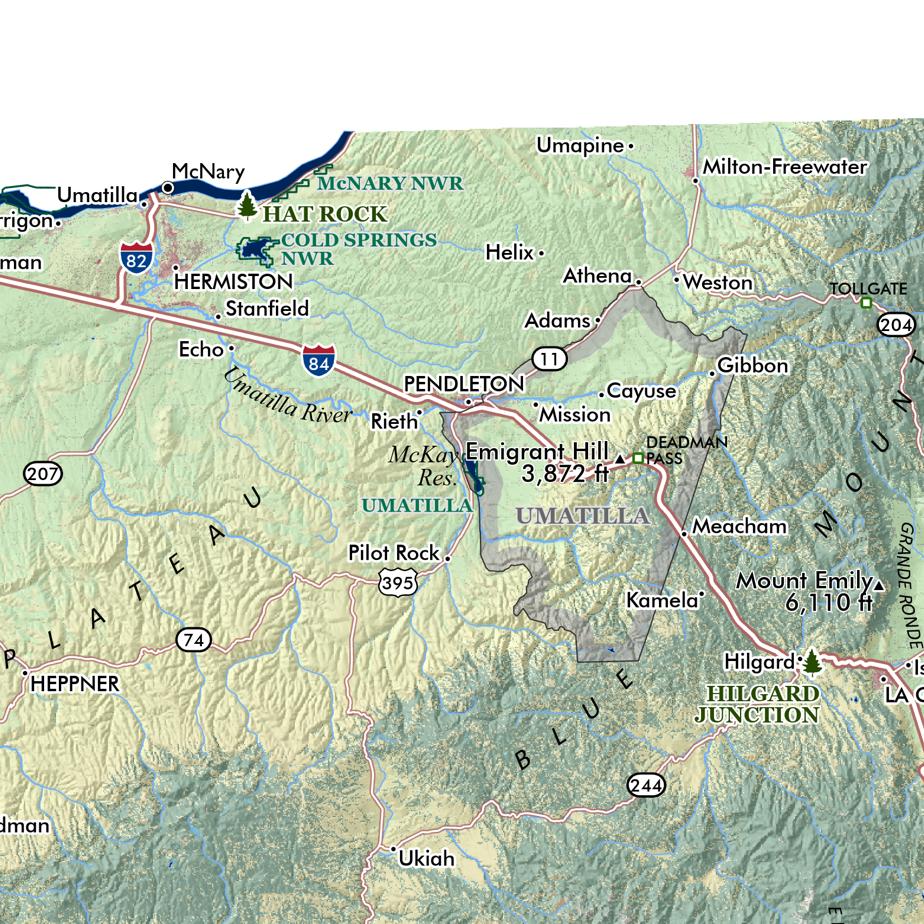 Image 8 of 8