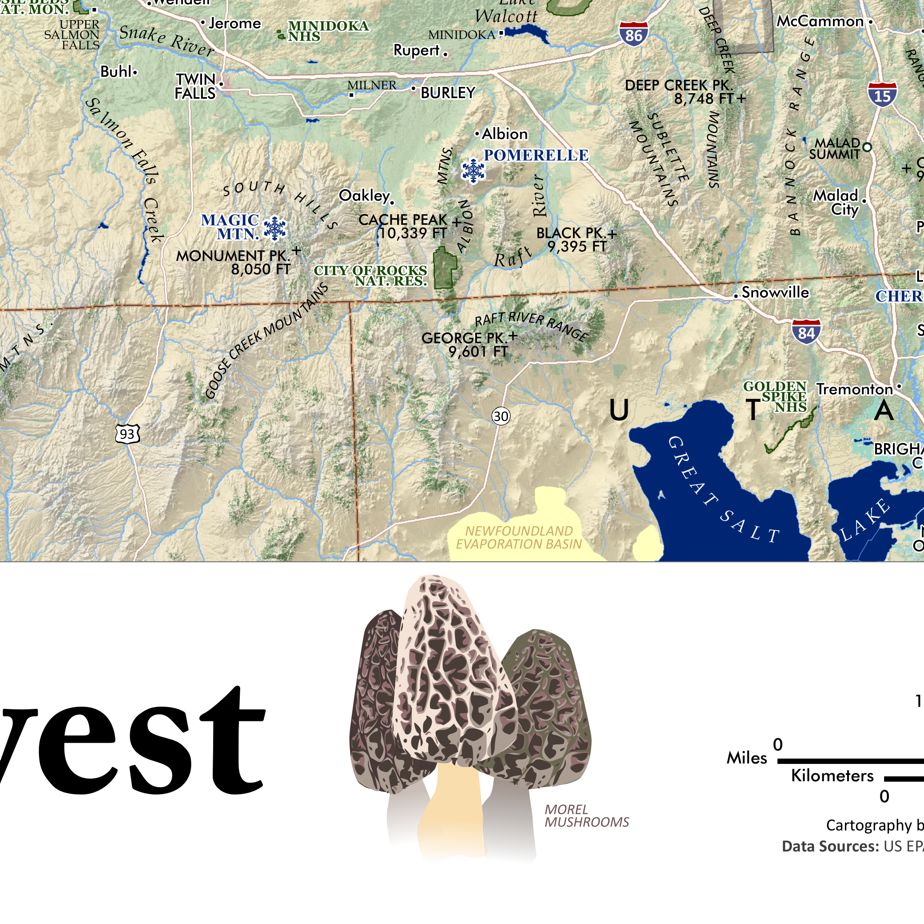
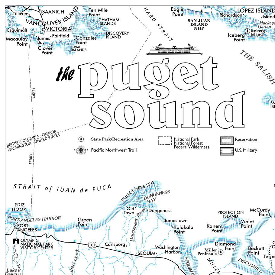
1:24,000
13 inch by 19 inch flat wall map, printed on heavy fine paper. Packed and shipped flat.
Paradise, Mount Rainier. Featuring the southern slope of Mount Rainier; an extent from the Tatoosh Range's foothills in the south to the Columbia Crest in the north. For reference map includes place names, glaciers, cleavers, ridges, trails, the Wonderland Trail (within extent), falls, and roads.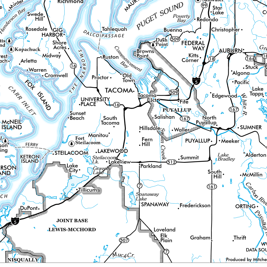

 Image 1 of 3
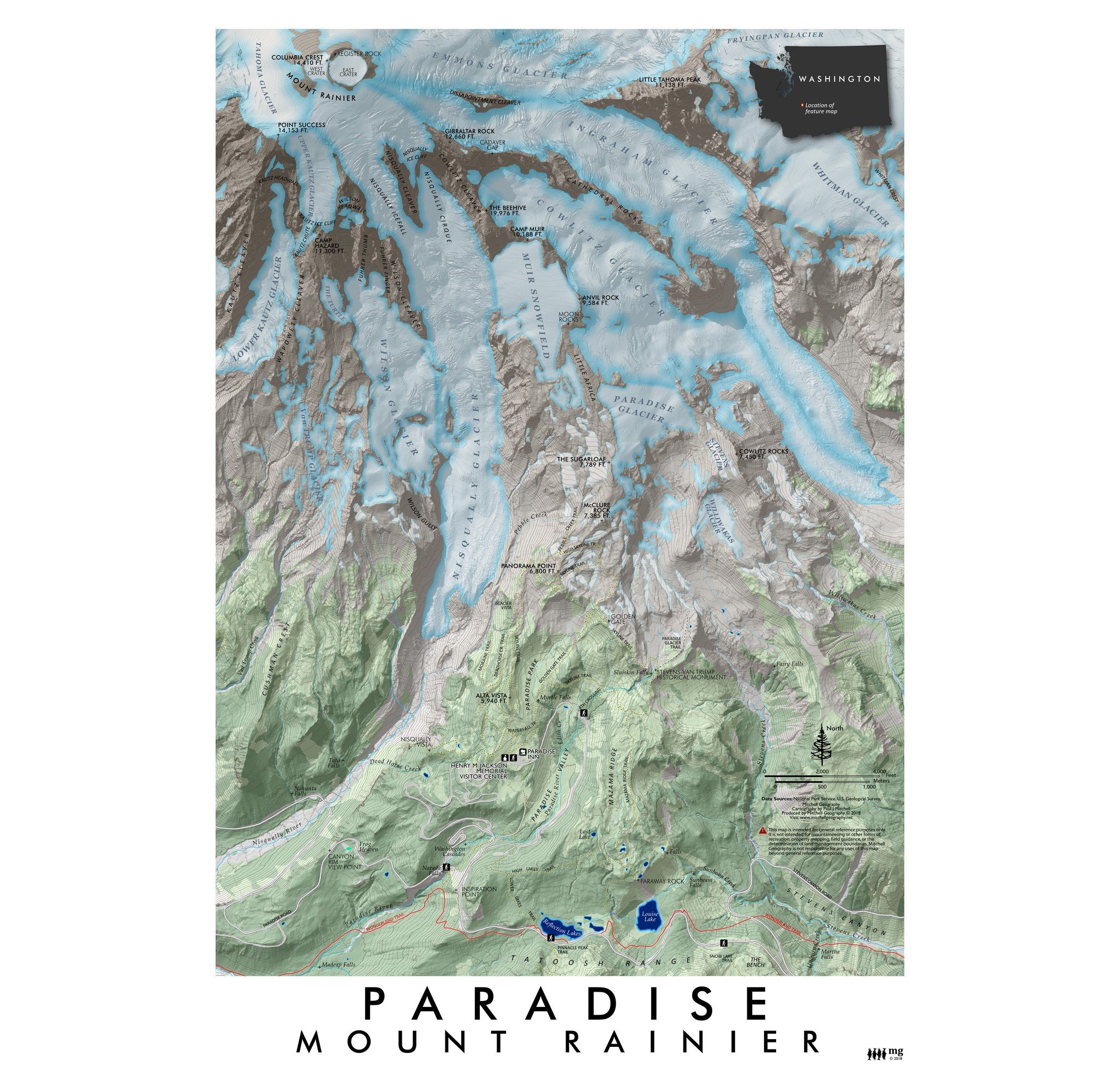 Image 2 of 3
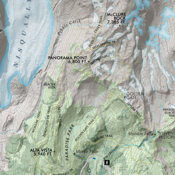 Image 3 of 3


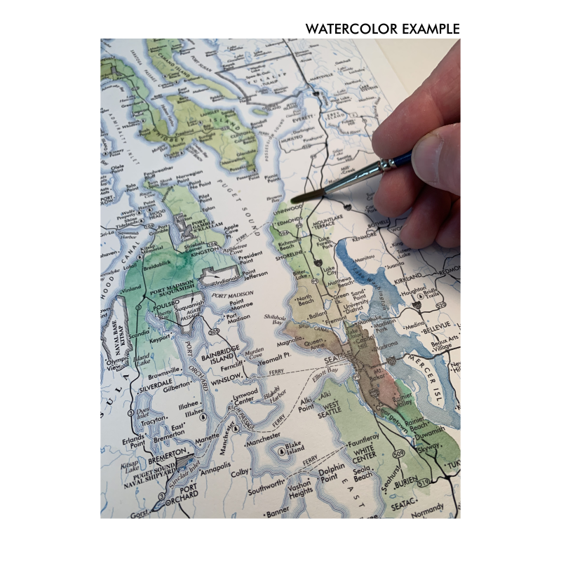


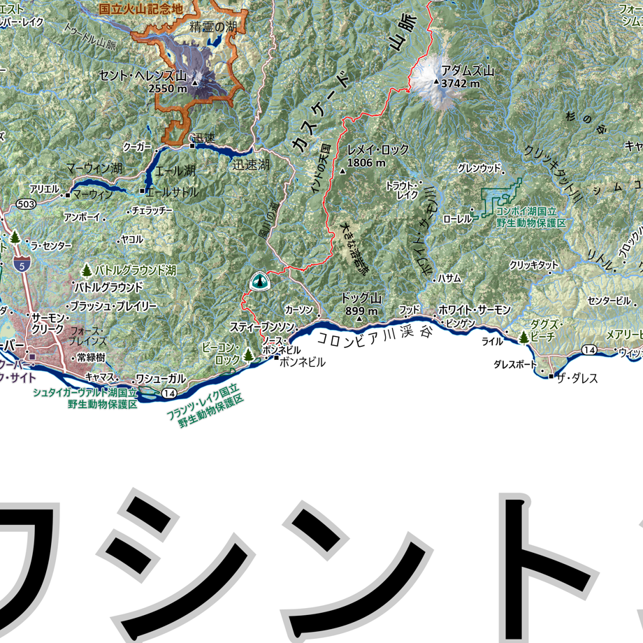
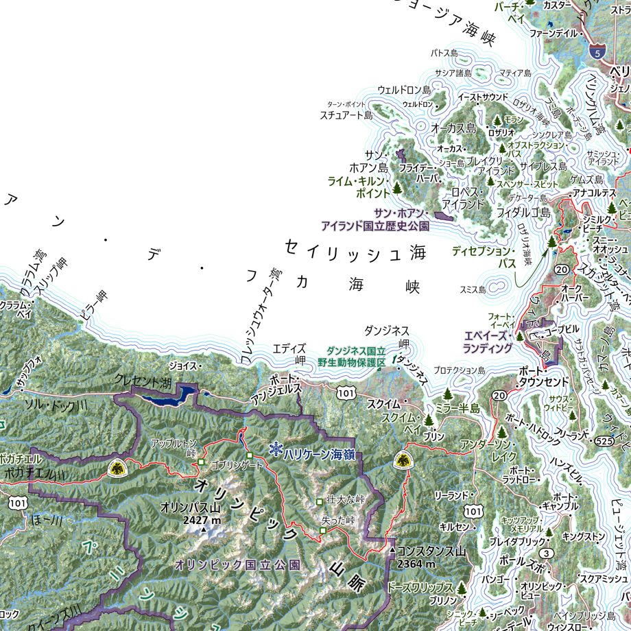
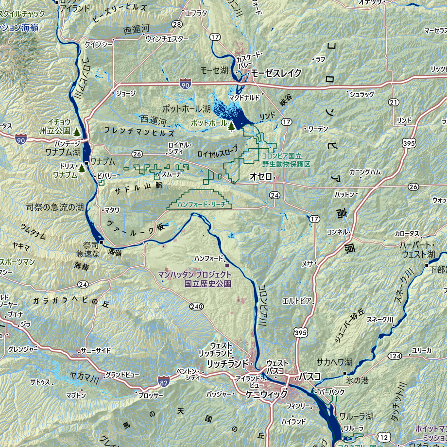
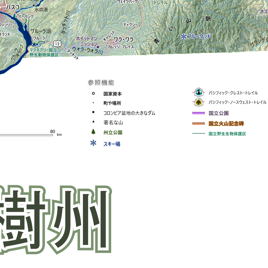
![Washington [Japanese language] (24 in x 20 in)](https://images.squarespace-cdn.com/content/v1/64dfe5c447627a1ab4b29d07/1694699282568-VV2KAVQ0SIU2BF6VIE2J/WA_JA_framed.JPG)