Skip to Content
maps
etc
stockists
contact
Mitchell Geography
0
0
maps
etc
stockists
contact
Mitchell Geography
0
0
maps
etc
stockists
contact
map shop Pacific Northwest Salmon & Steelhead
Pacific Northwest Salmon extent distribution map Image 1 of 3
Pacific Northwest Salmon extent distribution map
Pacific Northwest Salmon Distribution Extent Map Image 2 of 3
Pacific Northwest Salmon Distribution Extent Map
Pacific Northwest Salmon extent distribution map Image 3 of 3
Pacific Northwest Salmon extent distribution map
Pacific Northwest Salmon Distribution Extent Map
Pacific Northwest Salmon extent distribution map

Pacific Northwest Salmon & Steelhead

from $24.00

24 inch x 18 inch OR 13 inch by 19 inch flat wall map, printed on heavy fine paper. Shipped rolled (24 inch version) or flat (13 x 19 inch).

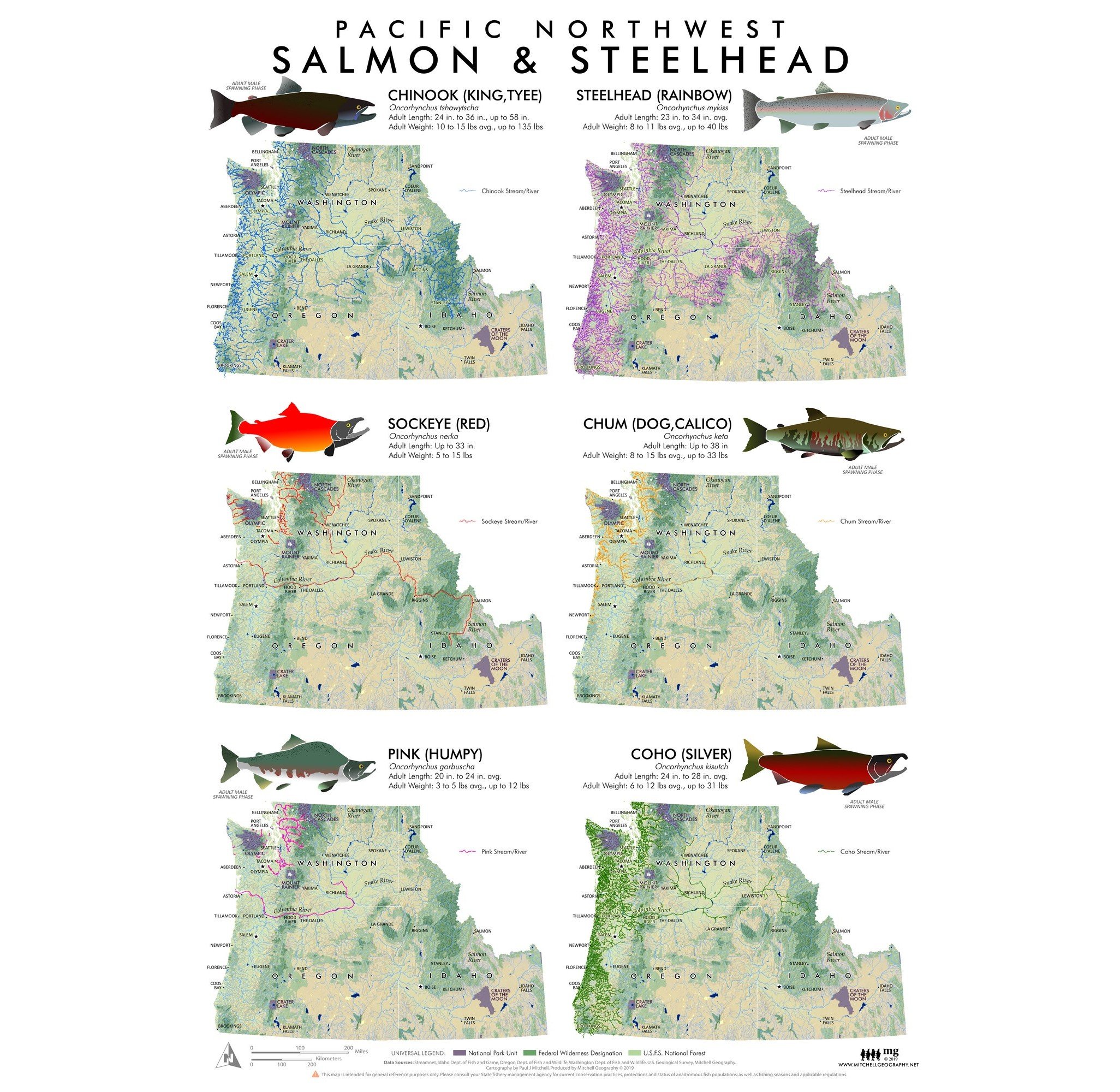
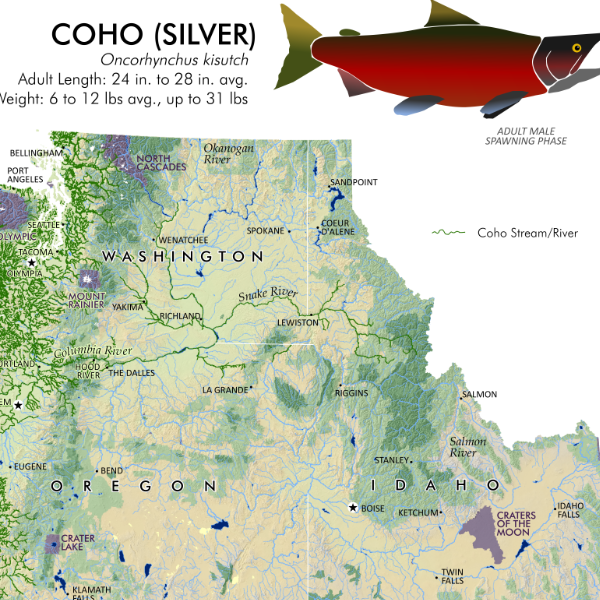
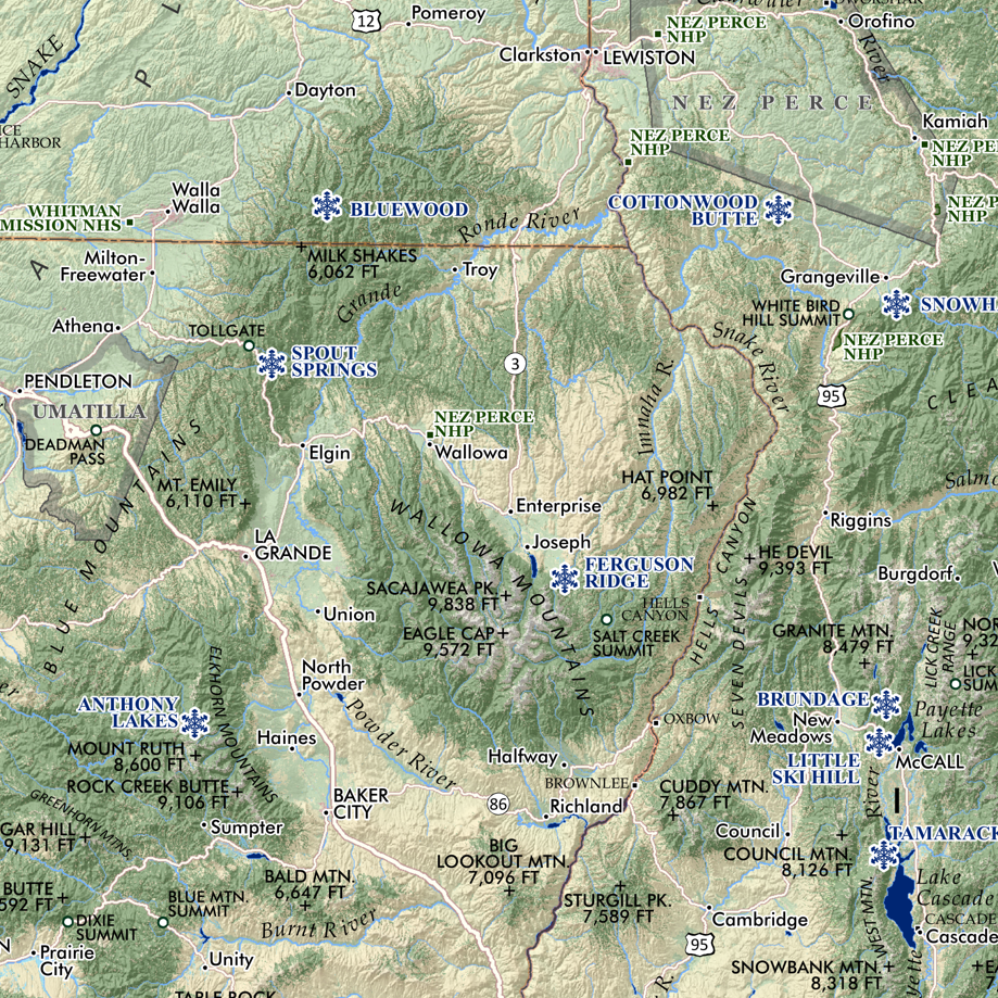
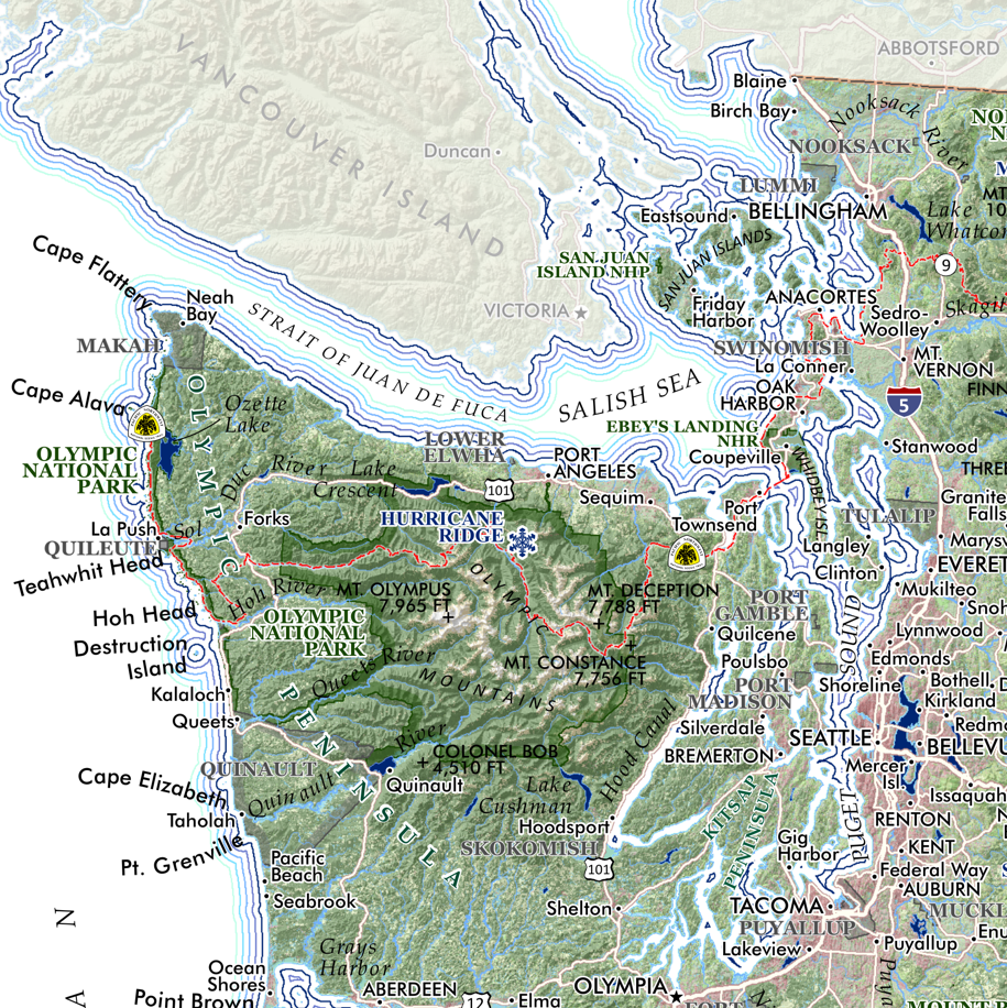
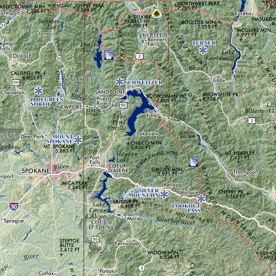
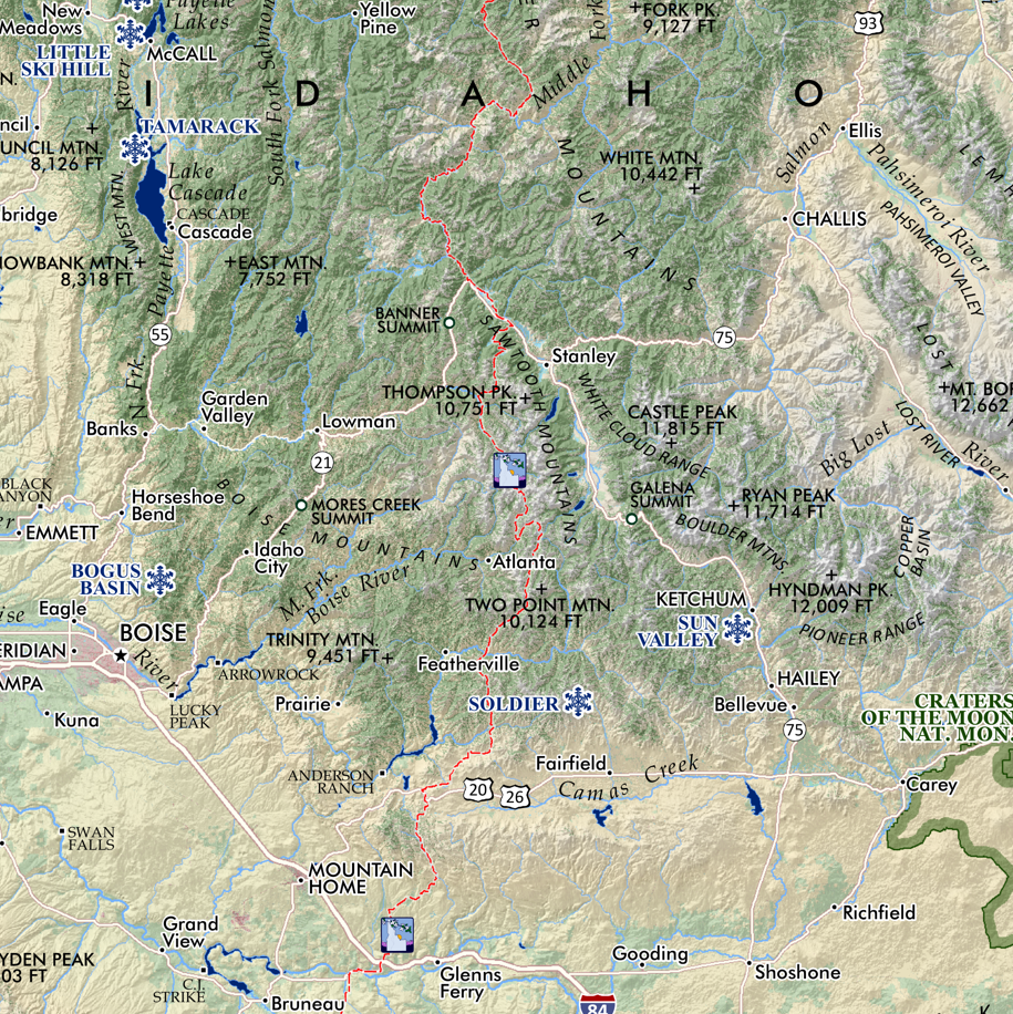
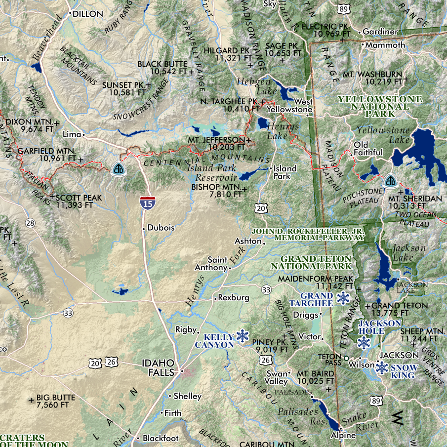
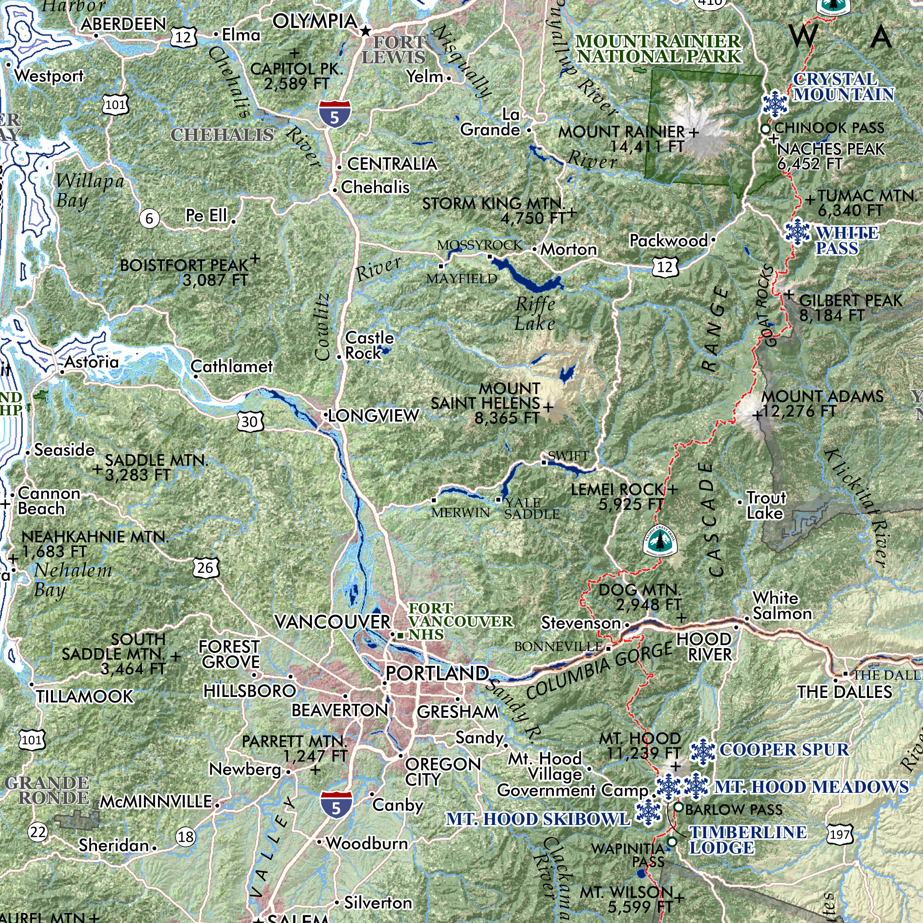
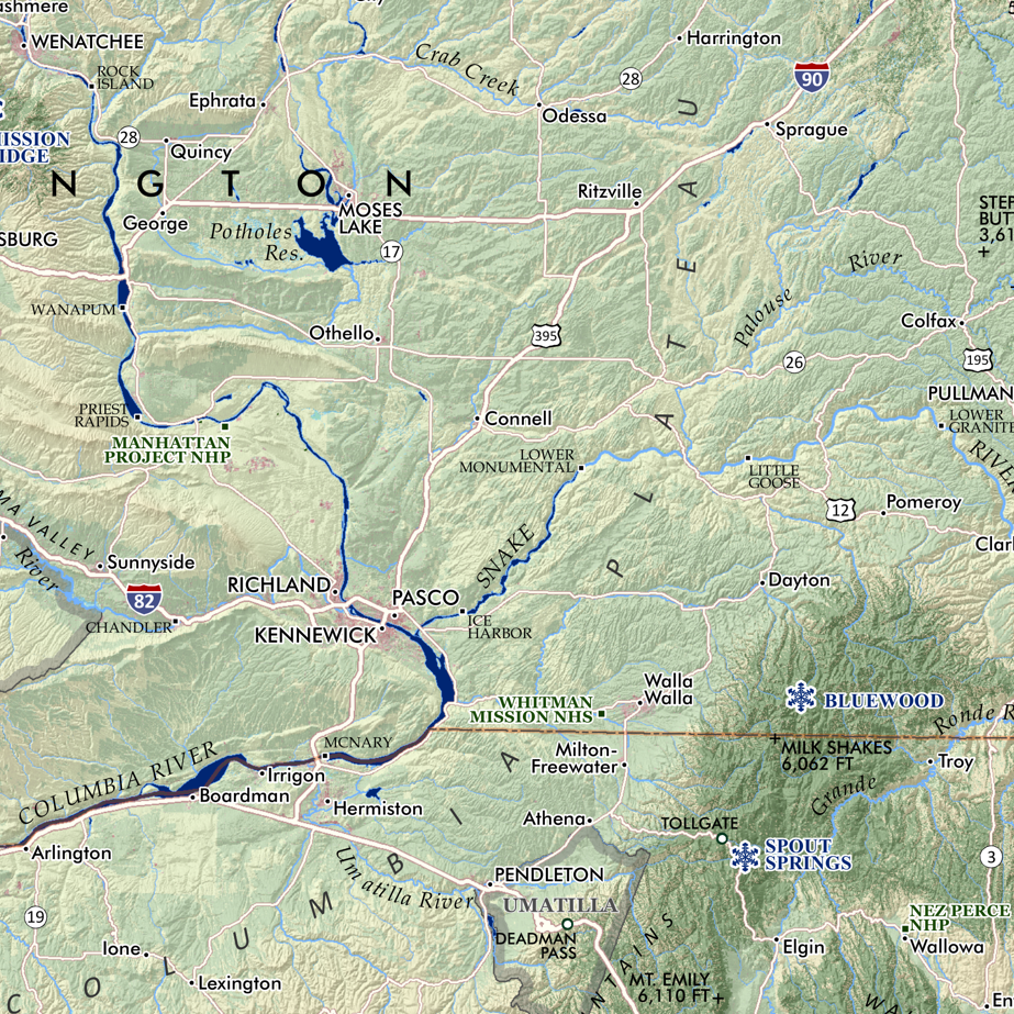
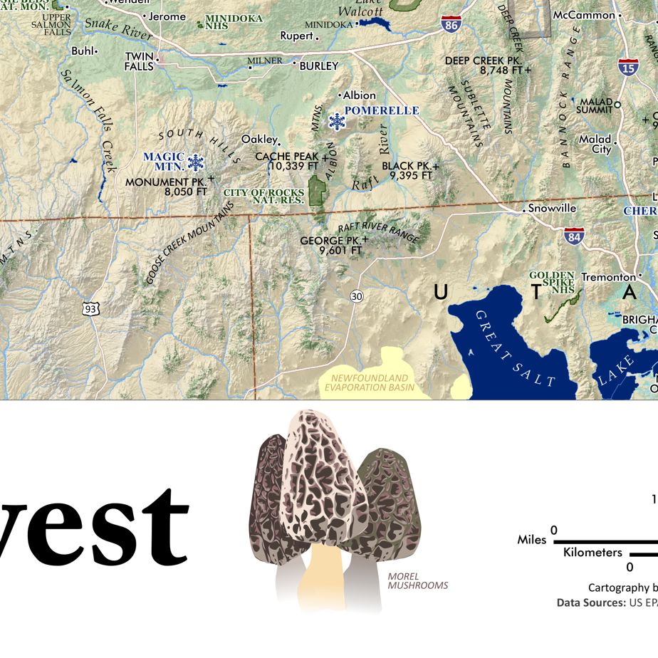
Regional compilation fishery map of the anadromous (sea run) Pacific Salmon and Steelhead Trout species presence within the states of Idaho, Oregon, and Washington. This title features graphic representations of the six fish (in distinctive male spawning phases) with typical length and weight, alongside inset maps depicting the spatial extent and distribution of the fishery as documented during the last decade.

Size:
Quantity:
Add To Cart

24 inch x 18 inch OR 13 inch by 19 inch flat wall map, printed on heavy fine paper. Shipped rolled (24 inch version) or flat (13 x 19 inch).

Regional compilation fishery map of the anadromous (sea run) Pacific Salmon and Steelhead Trout species presence within the states of Idaho, Oregon, and Washington. This title features graphic representations of the six fish (in distinctive male spawning phases) with typical length and weight, alongside inset maps depicting the spatial extent and distribution of the fishery as documented during the last decade.

You Might Also Like

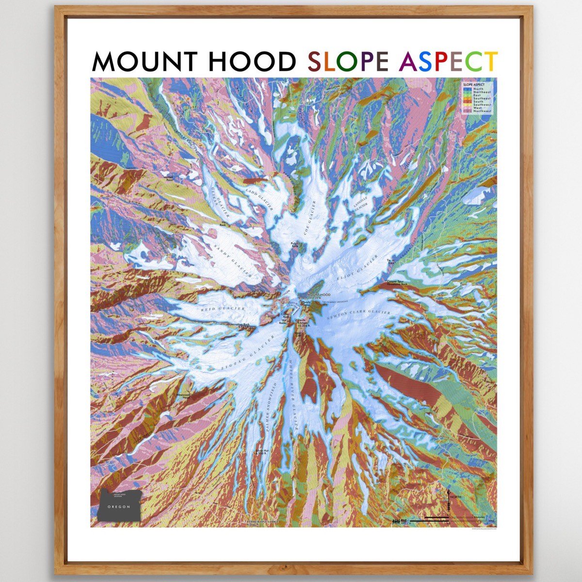
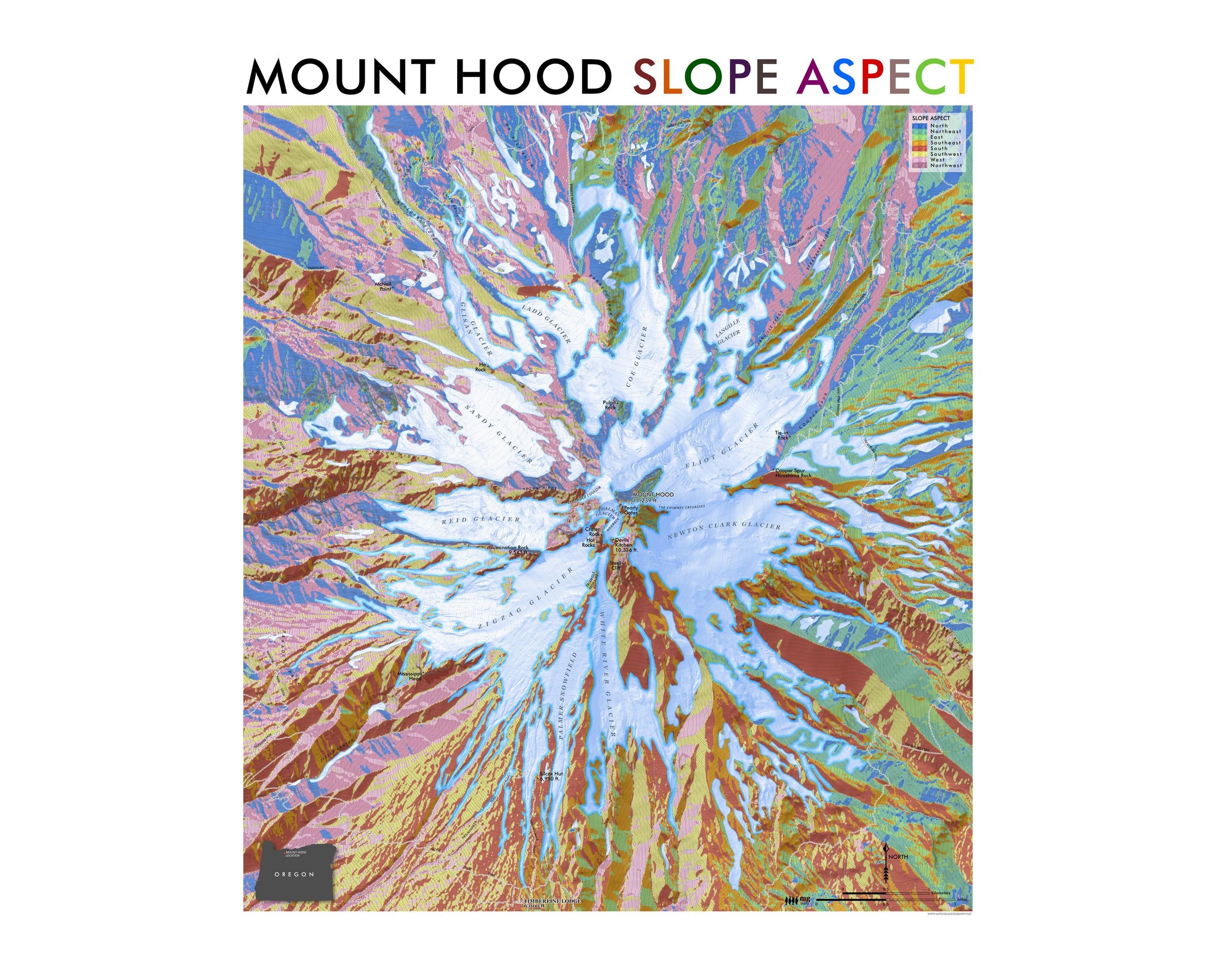
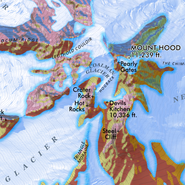
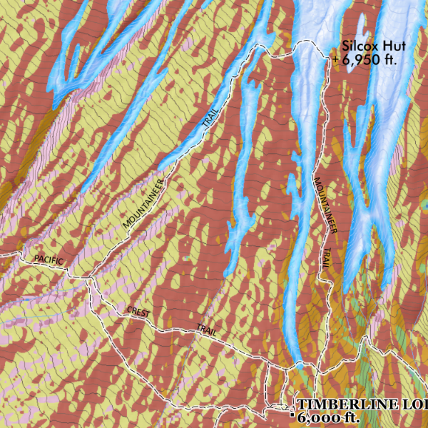
Mt. Hood Slope Aspect [Japanese language] (24 in x 20 in) Mount Hood Slope Aspect Map (Japanese language) Mount Hood Slope Aspect Map (Japanese language) Mount Hood Slope Aspect Map (Japanese language)
Mt. Hood Slope Aspect [Japanese language] (24 in x 20 in)
$34.00
Oregon Rivers (19 x 13 inch) OregonRiversNavy_13x19_111424_re2000_whsq.jpg OR_rivers_13x19_2024det1.png OR_rivers_13x19_2024det2.png OR_rivers_13x19_2024det3.png
Oregon Rivers (19 x 13 inch)
$24.00
Crater Lake Landscape (19 in x 13 in) Crater Lake Oregon Map Crater Lake Oregon Map
Crater Lake Landscape (19 in x 13 in)
$24.00
Three Sisters Oregon (19 in x 13 in) Three Sisters Oregon Map Three Sisters Oregon Map
Three Sisters Oregon (19 in x 13 in)
$24.00
Oregon North Coast (19 in x 13 in) Oregon North Coast Map Oregon North Coast Map
Oregon North Coast (19 in x 13 in)
$24.00

© Mitchell Geography 2013 - 2025