1:350,000
28 inch x 20 inch — flat wall map, printed on a heavy fine paper — shipped rolled in a 3 inch x 21 inch tube.
Redwood Coast California Map. This is a detailed regional general reference wall map of California’s most northern coast area — roughly stretching from Sinkyone Wilderness in the south to Smith River in the north. It is intended to feature the area where old growth Coast Redwood habitat and related old growth Coast Redwood parks exist. (Yes, there are other Redwood related parks outside of this extent, but these are the locations of the largest old growth trees, groves, and parks with public access).
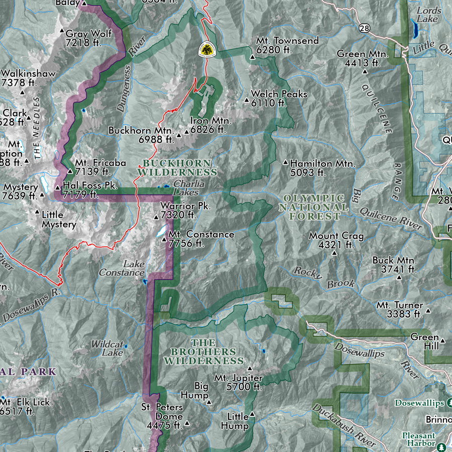
The expansive map extent contains all of the northern Coast Redwood related State Parks, the Redwood National & State Parks vicinity, the Humboldt & Arcata Bays area (Eureka & Arcata), Humboldt Redwoods State Park & Avenue of the Giants, and the Lost Coast Region (Lost Coast Headlands area, King Range Wilderness, Sinkyone Wilderness). The interior extent ranges east to includes portions of the Six Rivers, Trinity, Klamath, and Mendocino National Forests, and many of the large interior designated wilderness’ including the Siskiyou Wilderness, Marble Mountain Wilderness, Trinity Alps, Yolla Bolly-Middle Eel, and more). Tribal lands include the Yurok, Hoopa Valley, Round Valley and more.
A comparative graphic of large California tree types is included in the legend area.
Reference features labeled as scale permits, include:
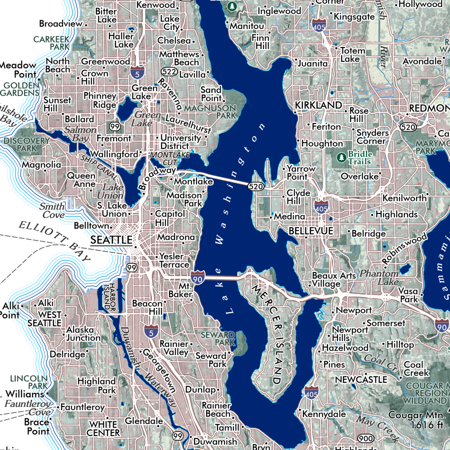
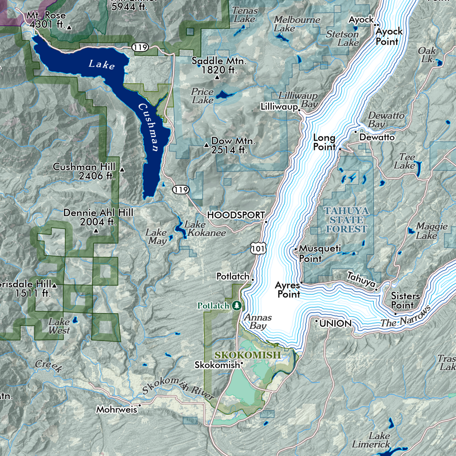
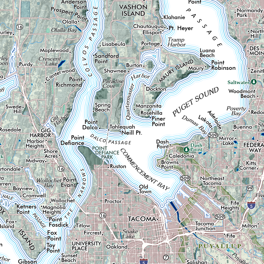
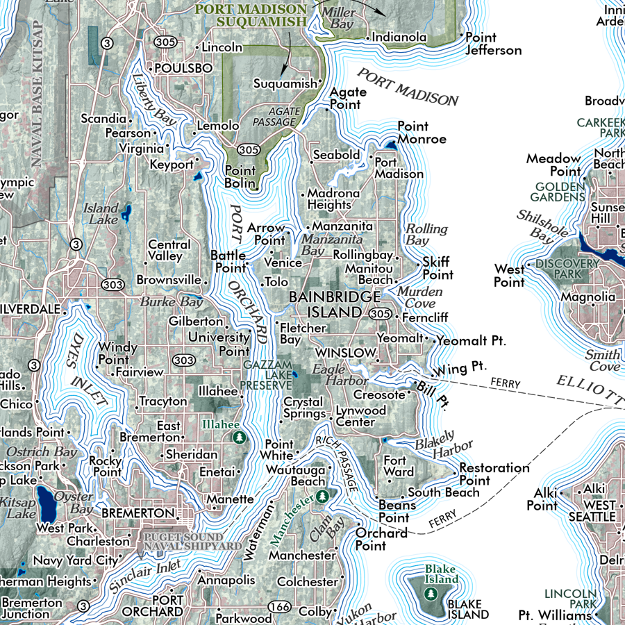
Neighborhoods, Communities, Towns, Cities
Highways, Arterials, and Secondary Rural/USFS Connections
Trails (USFS, NPS, State Parks, Municipal, PCT, Lost Coast) — trails are mostly unlabeled due to the regional scale of the map.
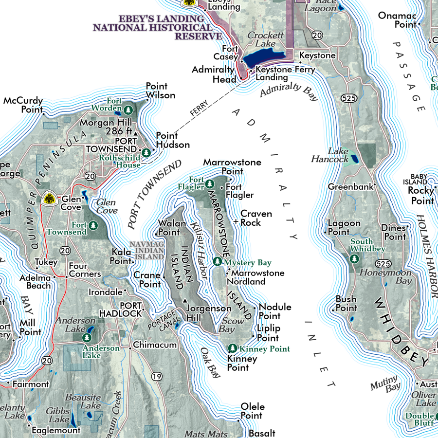
Coastal Features: Bays, Islands, Capes
Surface Hydrology: Rivers, Streams, Lakes, Reservoirs
Shore, Coastal, Beach Access Sites
Redwood National Park
California State Parks, State Beaches, and other accessible state lands
USFS National Forests (portions of): Six Rivers, Trinity, Klamath, Mendocino
Federal Designated Wilderness: Siskiyou, Red Buttes, Russian (small portions), Marble Mountain, Trinity Alps (western half), Chancelulla, Mount Lassic, North Fork (Eel), Yolla Bolly-Middle Eel, King Range).
Bureau of Land Management lands and special management areas such as Lacks Creek, Headwaters Forest Reserve, King Range Wilderness, Lost Coast Headlands)
Wildlife Areas (USFWS National Wildlife Refuge, California State Wildlife Areas)
Places of Interest (e.g. Sumêg Village, Tall Trees Grove, Avenue of the Giants, Cal Poly Humboldt)
Lighthouses
Mountains and Summits of Interest
Lookouts
1:350,000
28 inch x 20 inch — flat wall map, printed on a heavy fine paper — shipped rolled in a 3 inch x 21 inch tube.
Redwood Coast California Map. This is a detailed regional general reference wall map of California’s most northern coast area — roughly stretching from Sinkyone Wilderness in the south to Smith River in the north. It is intended to feature the area where old growth Coast Redwood habitat and related old growth Coast Redwood parks exist. (Yes, there are other Redwood related parks outside of this extent, but these are the locations of the largest old growth trees, groves, and parks with public access).
The expansive map extent contains all of the northern Coast Redwood related State Parks, the Redwood National & State Parks vicinity, the Humboldt & Arcata Bays area (Eureka & Arcata), Humboldt Redwoods State Park & Avenue of the Giants, and the Lost Coast Region (Lost Coast Headlands area, King Range Wilderness, Sinkyone Wilderness). The interior extent ranges east to includes portions of the Six Rivers, Trinity, Klamath, and Mendocino National Forests, and many of the large interior designated wilderness’ including the Siskiyou Wilderness, Marble Mountain Wilderness, Trinity Alps, Yolla Bolly-Middle Eel, and more). Tribal lands include the Yurok, Hoopa Valley, Round Valley and more.
A comparative graphic of large California tree types is included in the legend area.
Reference features labeled as scale permits, include:
Neighborhoods, Communities, Towns, Cities
Highways, Arterials, and Secondary Rural/USFS Connections
Trails (USFS, NPS, State Parks, Municipal, PCT, Lost Coast) — trails are mostly unlabeled due to the regional scale of the map.
Coastal Features: Bays, Islands, Capes
Surface Hydrology: Rivers, Streams, Lakes, Reservoirs
Shore, Coastal, Beach Access Sites
Redwood National Park
California State Parks, State Beaches, and other accessible state lands
USFS National Forests (portions of): Six Rivers, Trinity, Klamath, Mendocino
Federal Designated Wilderness: Siskiyou, Red Buttes, Russian (small portions), Marble Mountain, Trinity Alps (western half), Chancelulla, Mount Lassic, North Fork (Eel), Yolla Bolly-Middle Eel, King Range).
Bureau of Land Management lands and special management areas such as Lacks Creek, Headwaters Forest Reserve, King Range Wilderness, Lost Coast Headlands)
Wildlife Areas (USFWS National Wildlife Refuge, California State Wildlife Areas)
Places of Interest (e.g. Sumêg Village, Tall Trees Grove, Avenue of the Giants, Cal Poly Humboldt)
Lighthouses
Mountains and Summits of Interest
Lookouts

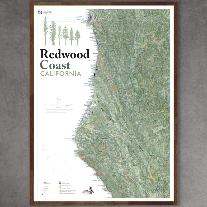 Image 1 of 12
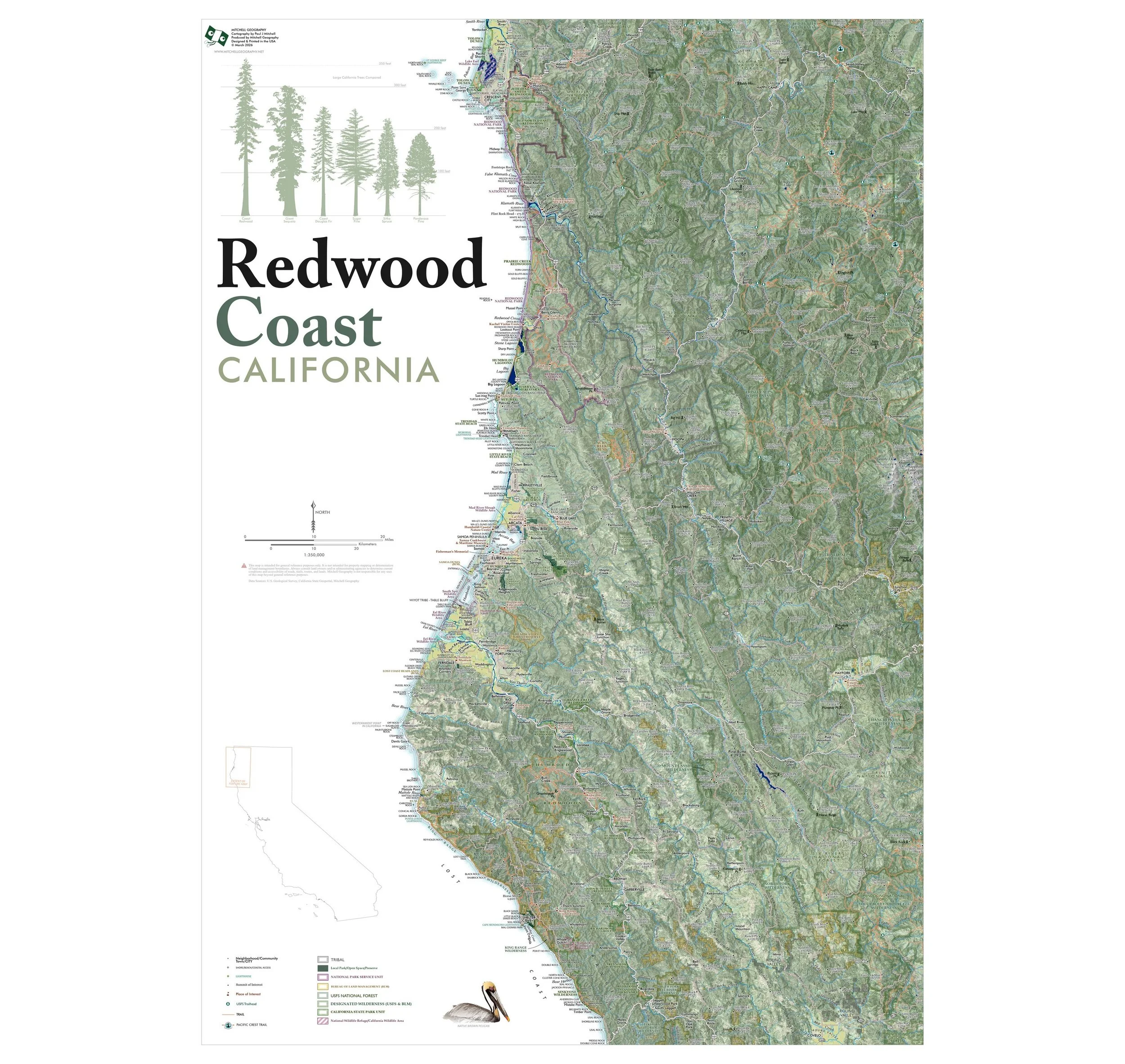 Image 2 of 12
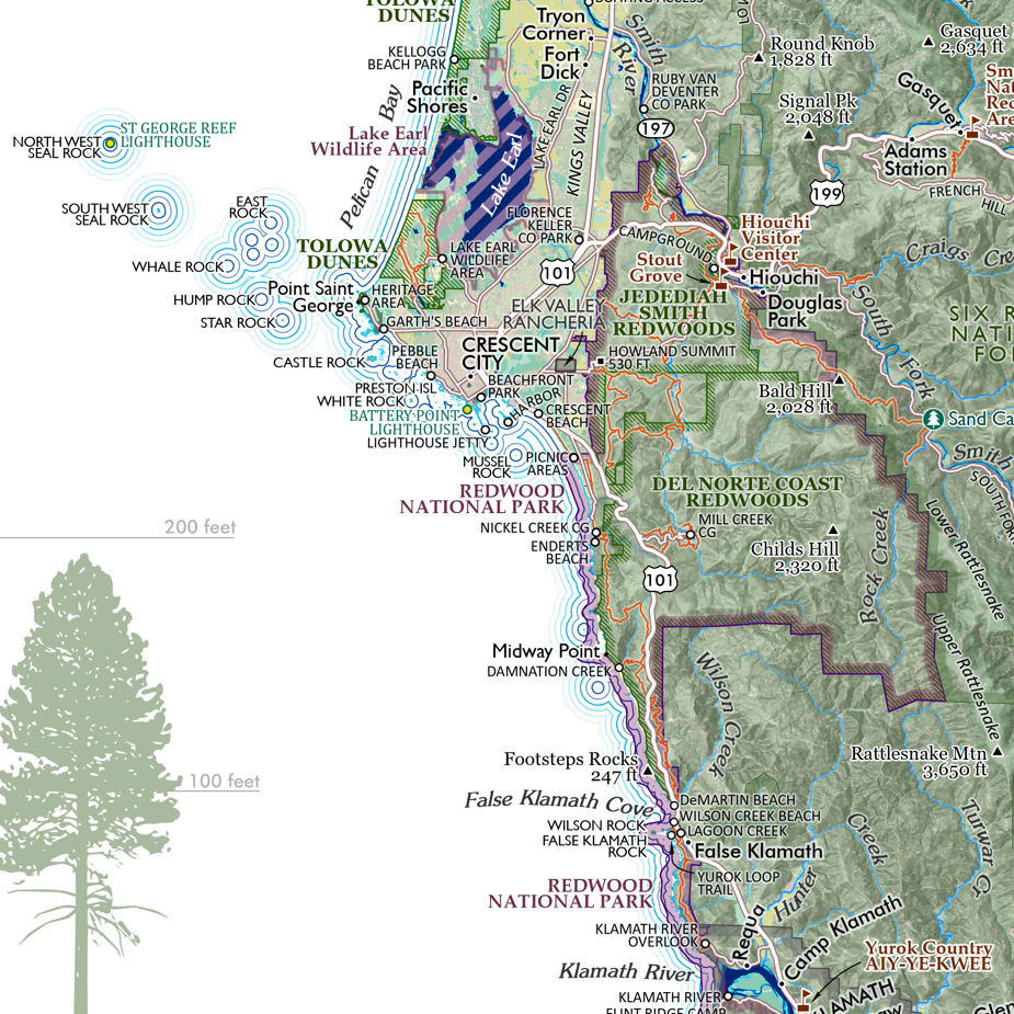 Image 3 of 12
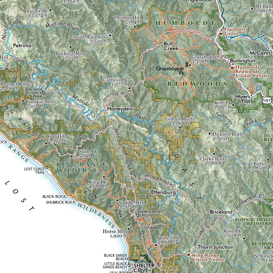 Image 4 of 12
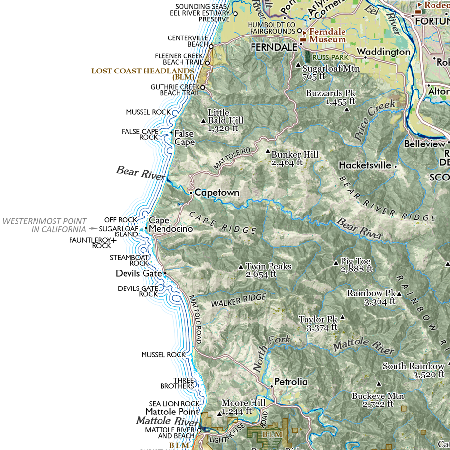 Image 5 of 12
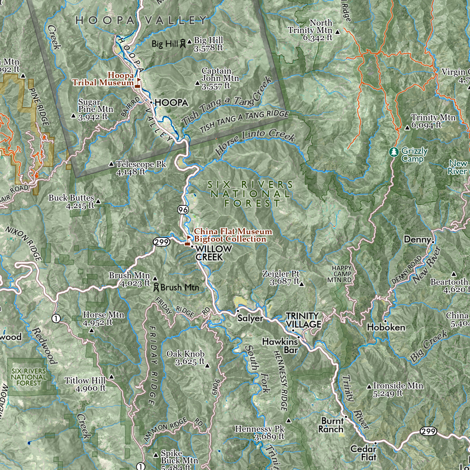 Image 6 of 12
 Image 7 of 12
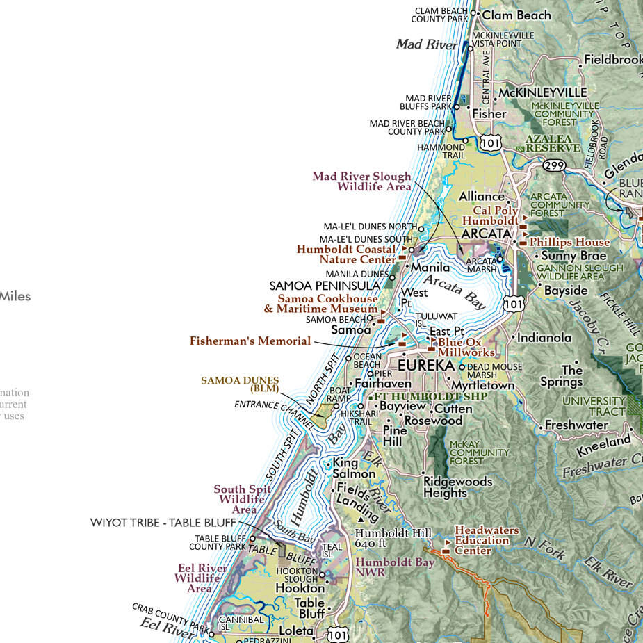 Image 8 of 12
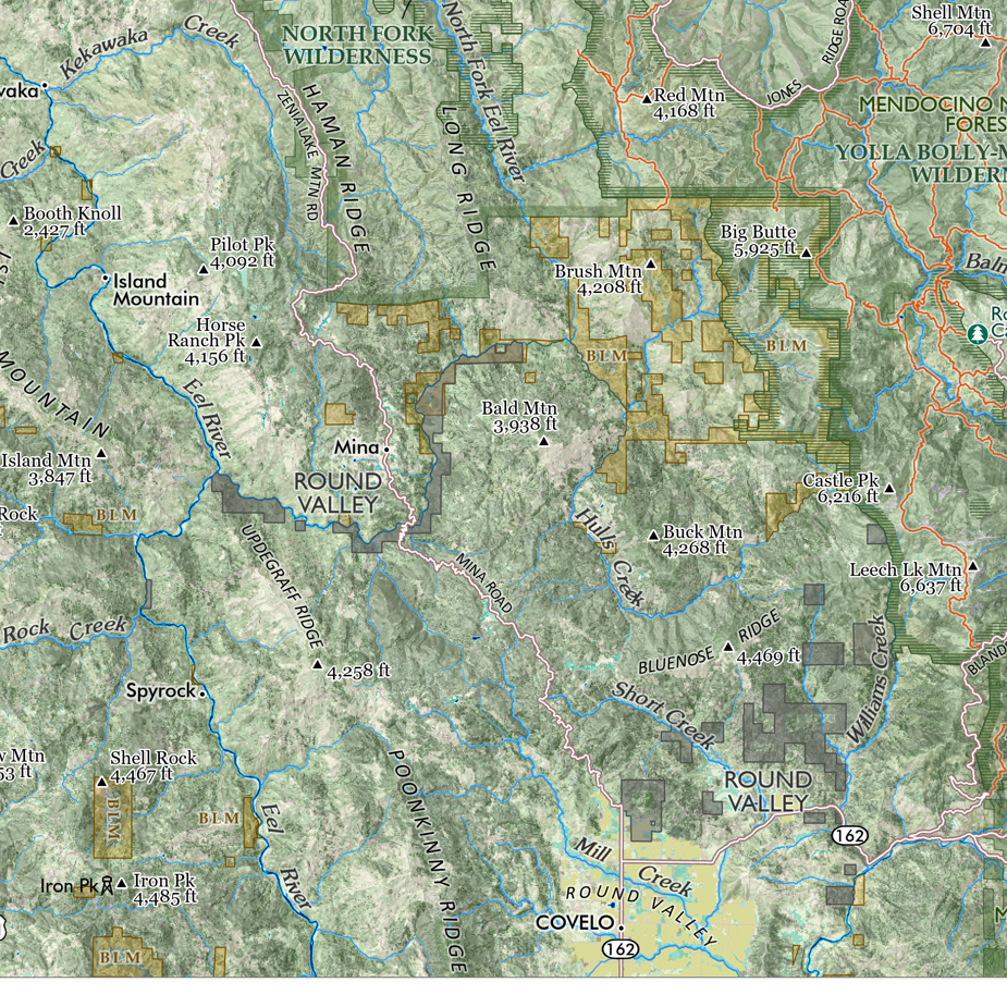 Image 9 of 12
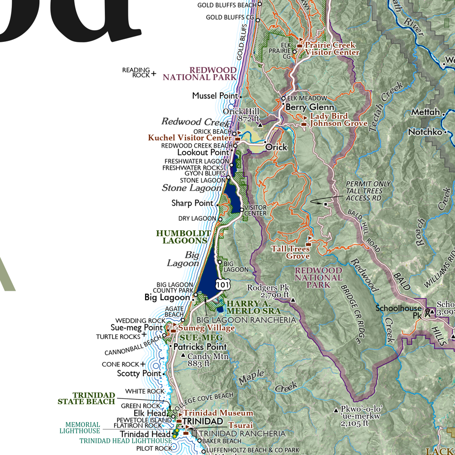 Image 10 of 12
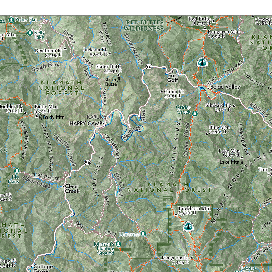 Image 11 of 12
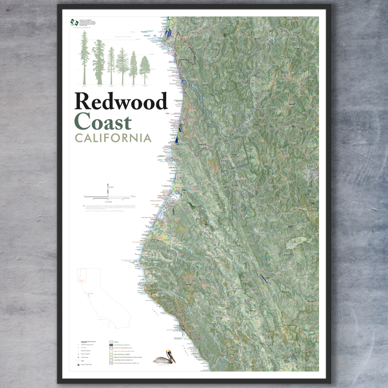 Image 12 of 12