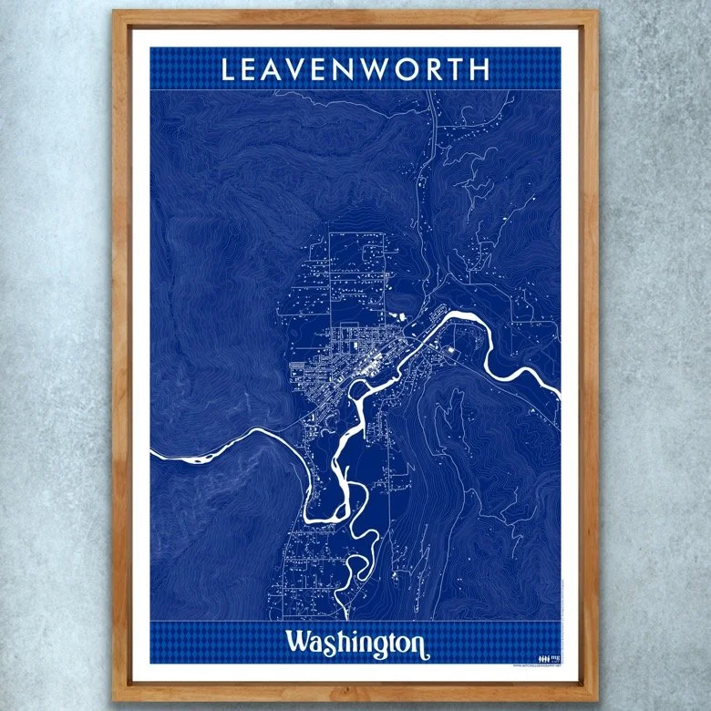
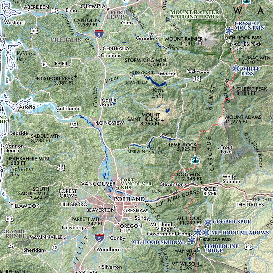
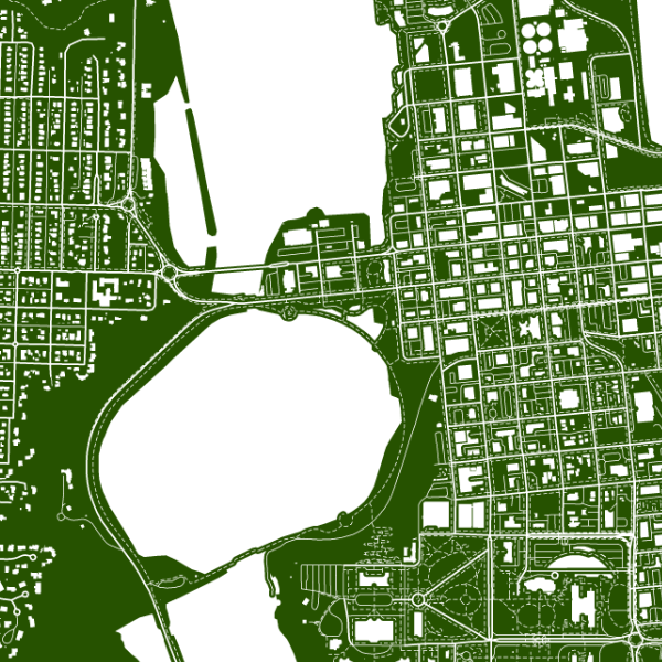
Image 1 of 5
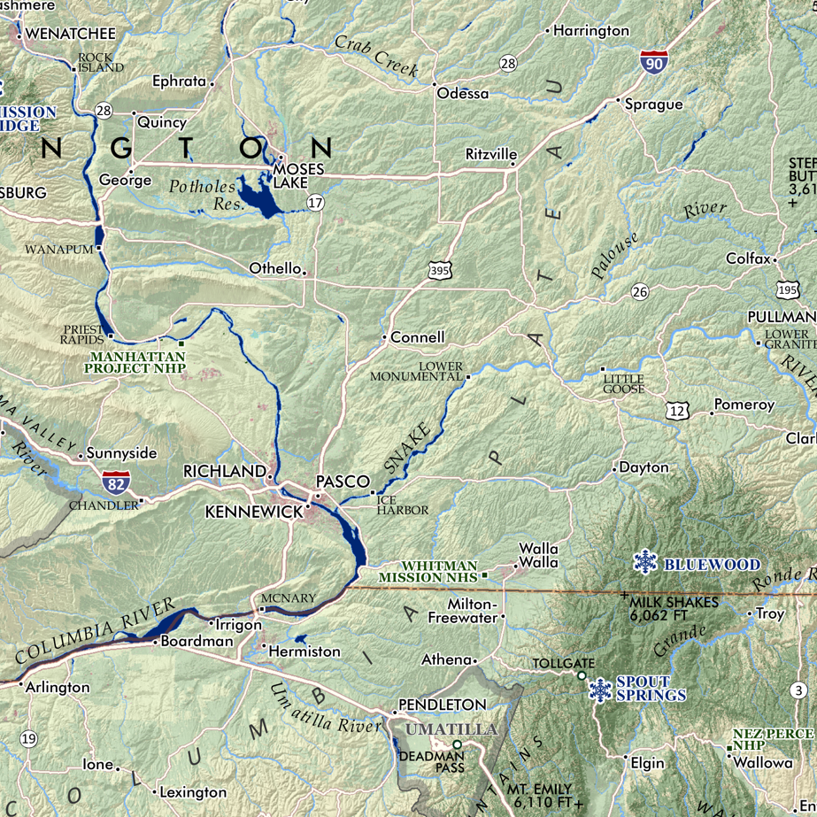
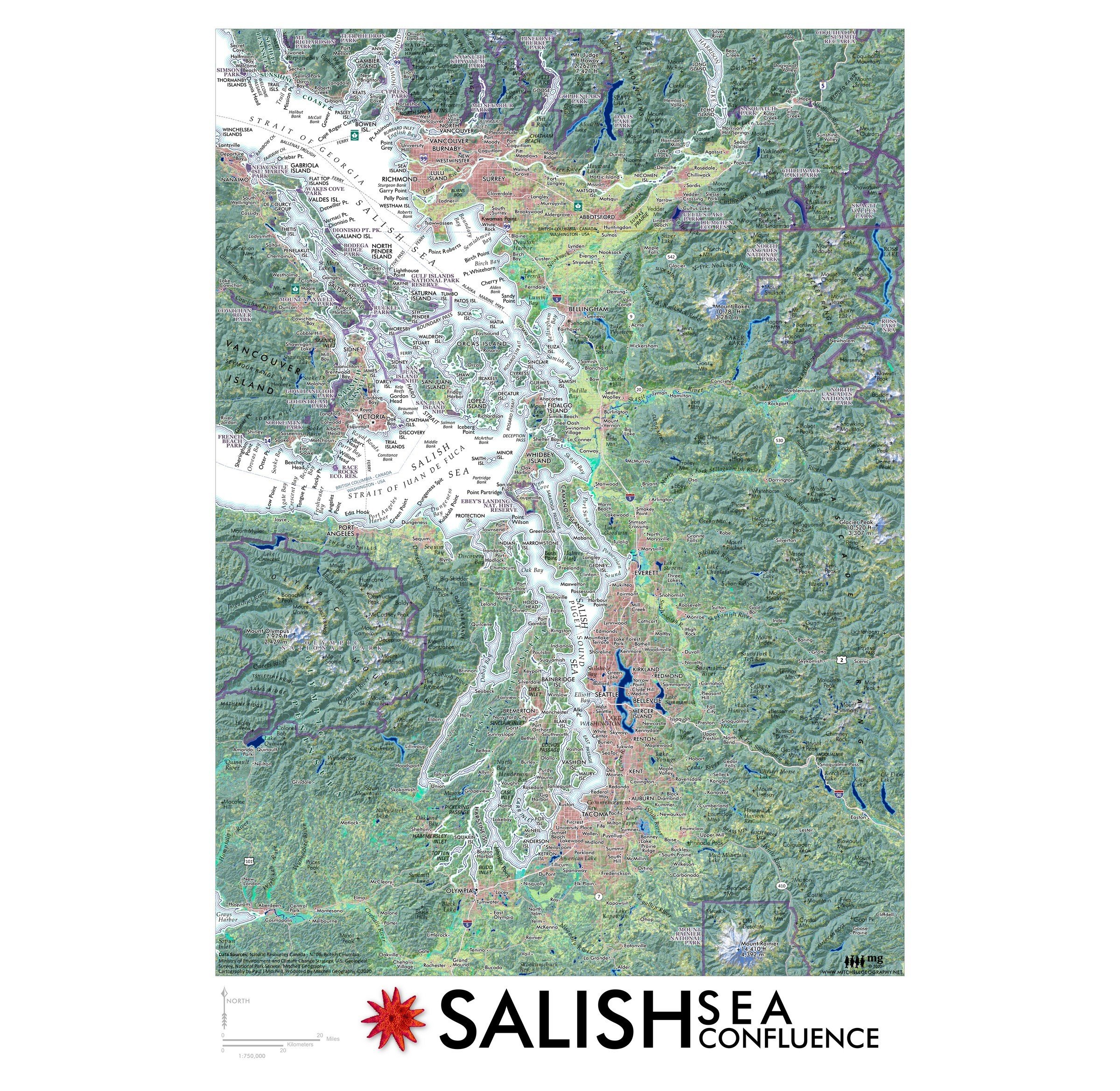
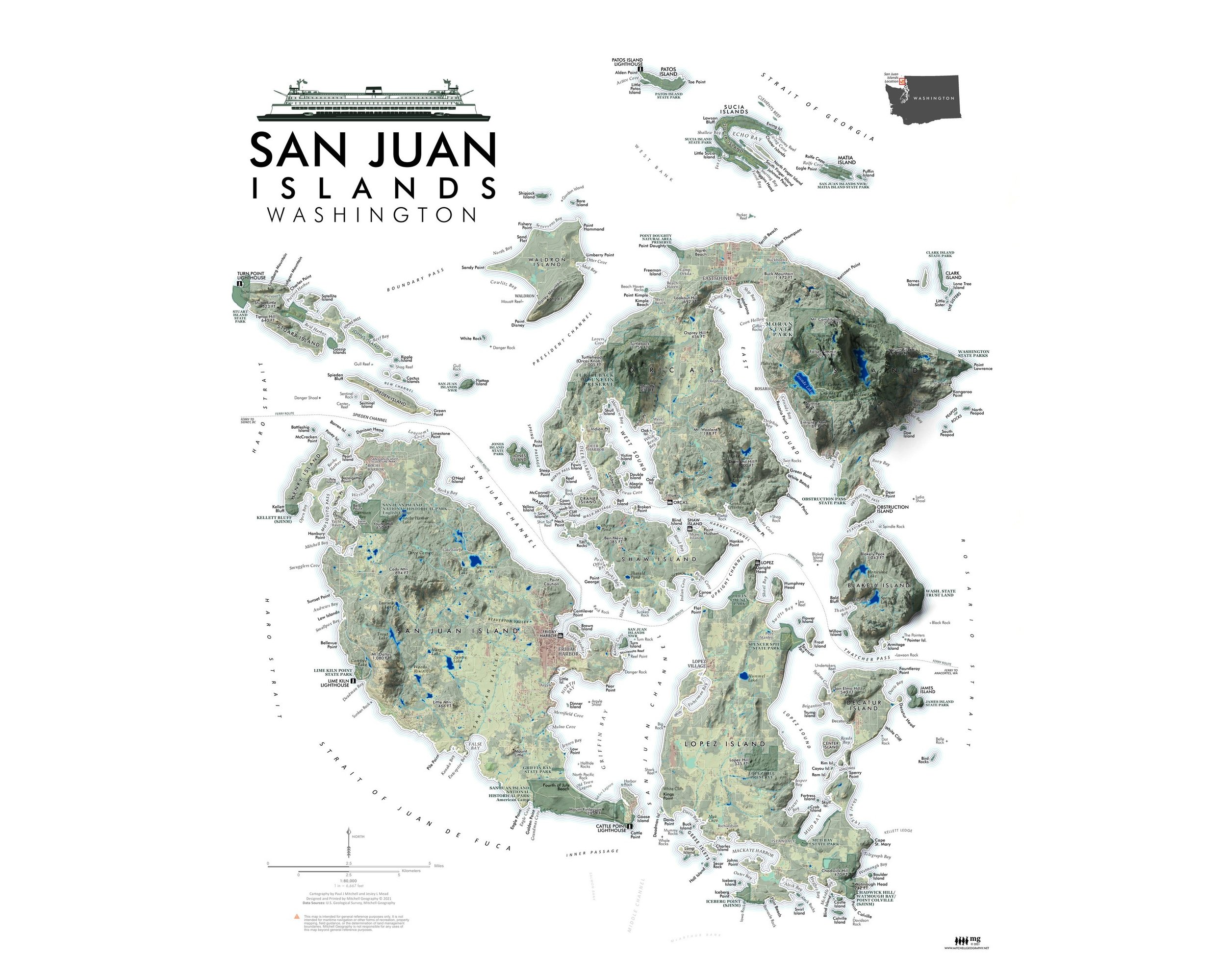 Image 2 of 5
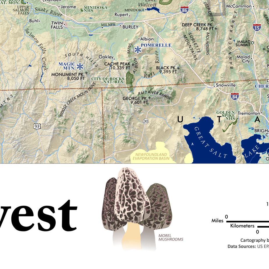
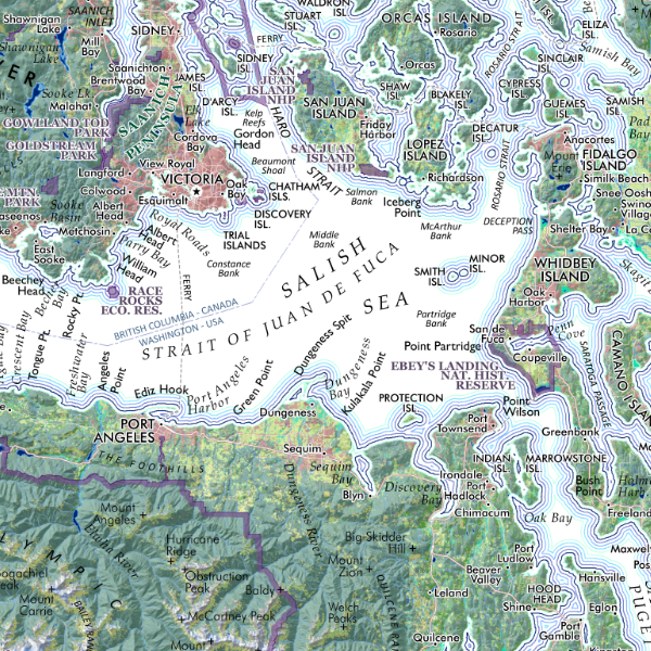
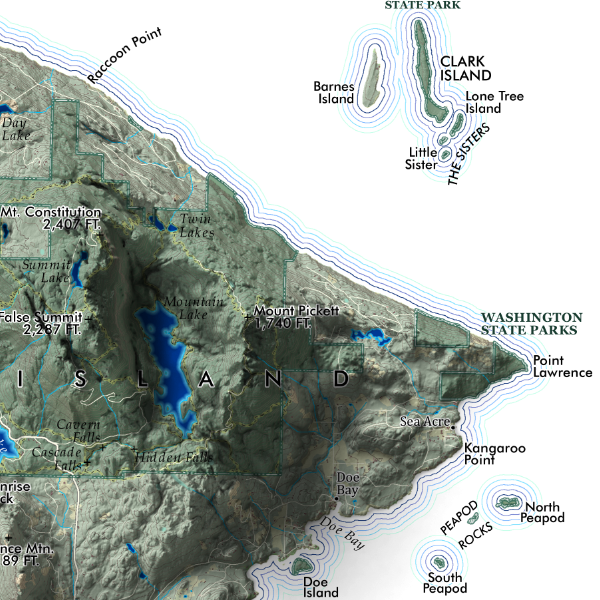 Image 3 of 5
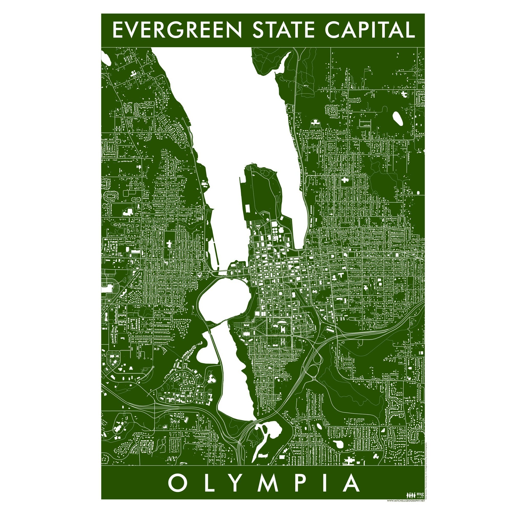
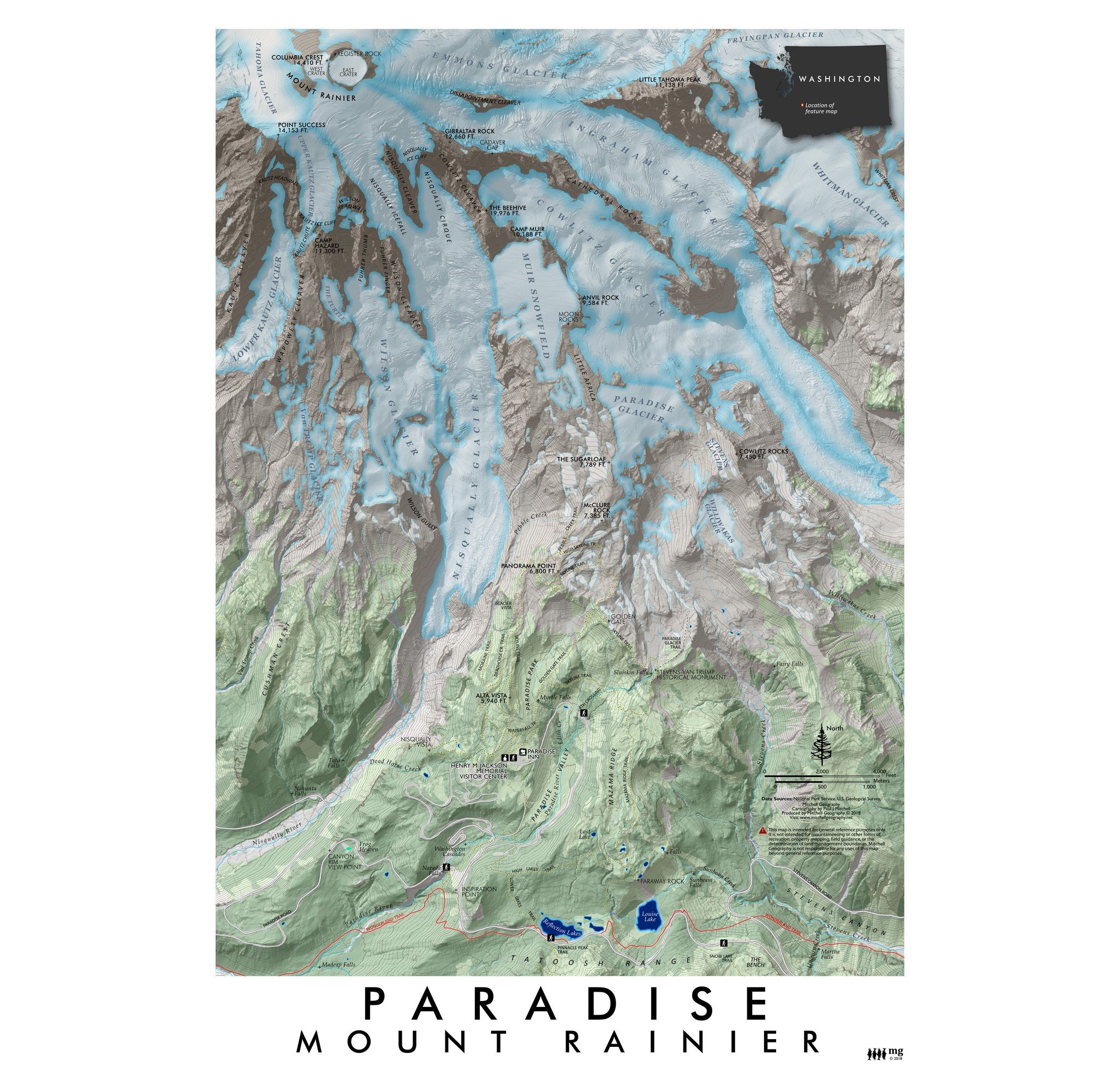
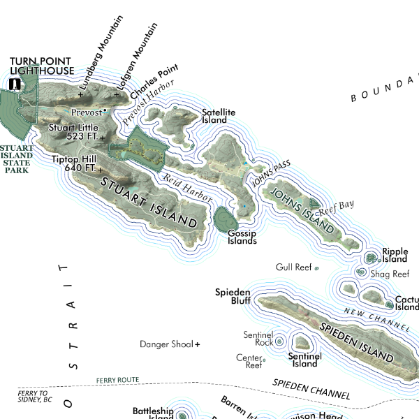 Image 4 of 5
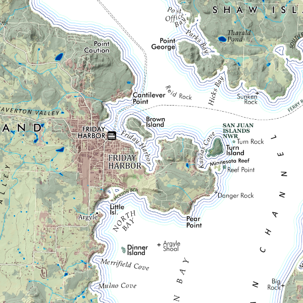 Image 5 of 5
1:80,000
20 inch x 24 inch — flat wall map, printed on a heavy fine paper — shipped rolled.
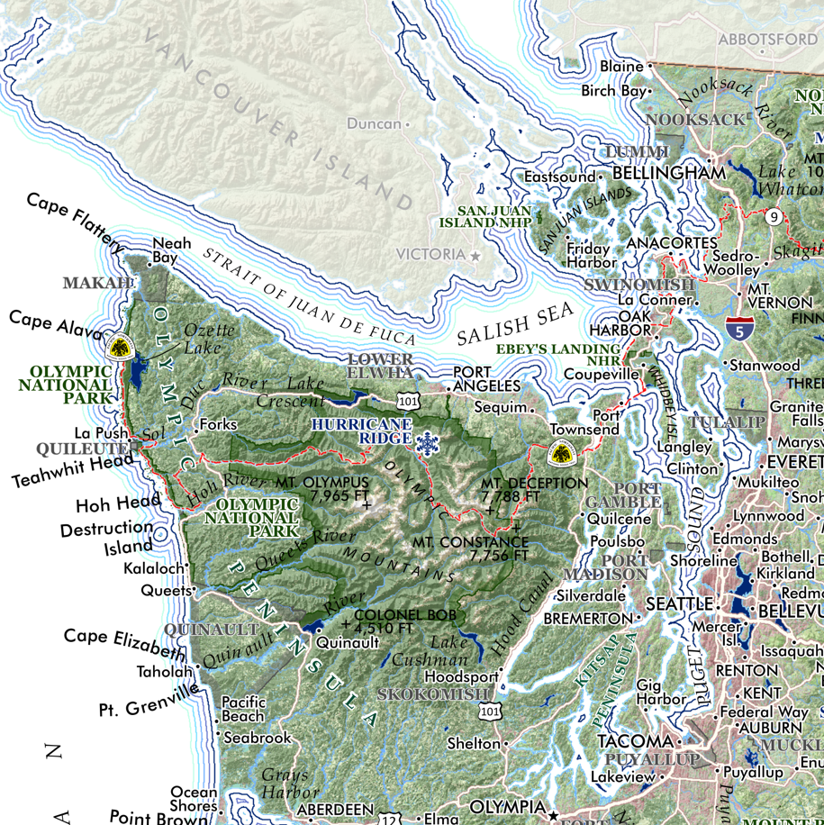
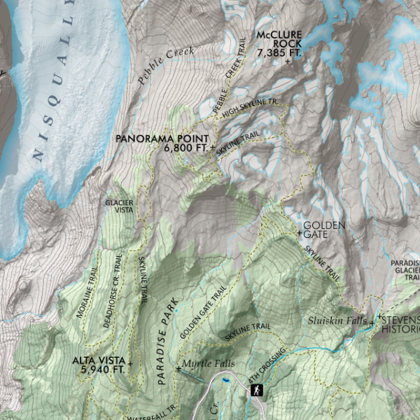
San Juan Islands, Washington. Featuring the islands, rocks, reefs, bays, channels, sounds, capes, and land points, as well as the four lighthouses, larger publicly accessible lands such as state parks and preserves, feature trails , roads, and ferry routes.
*This map is a 2-D paper print, not a 3-D pressed and molded model — the map is shipped rolled in a tube*
1:80,000
20 inch x 24 inch — flat wall map, printed on a heavy fine paper — shipped rolled.
San Juan Islands, Washington. Featuring the islands, rocks, reefs, bays, channels, sounds, capes, and land points, as well as the four lighthouses, larger publicly accessible lands such as state parks and preserves, feature trails , roads, and ferry routes.
*This map is a 2-D paper print, not a 3-D pressed and molded model — the map is shipped rolled in a tube*