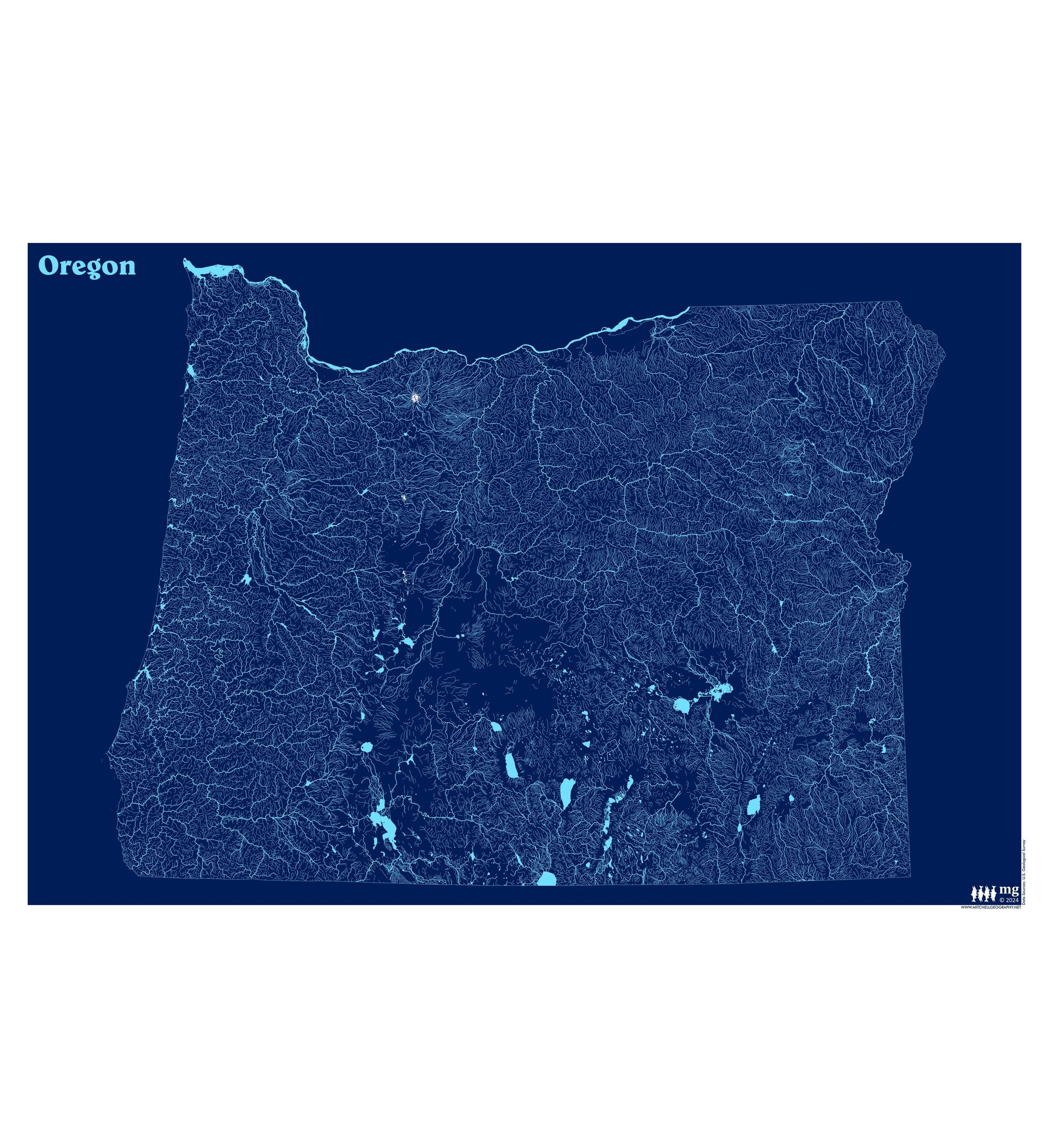
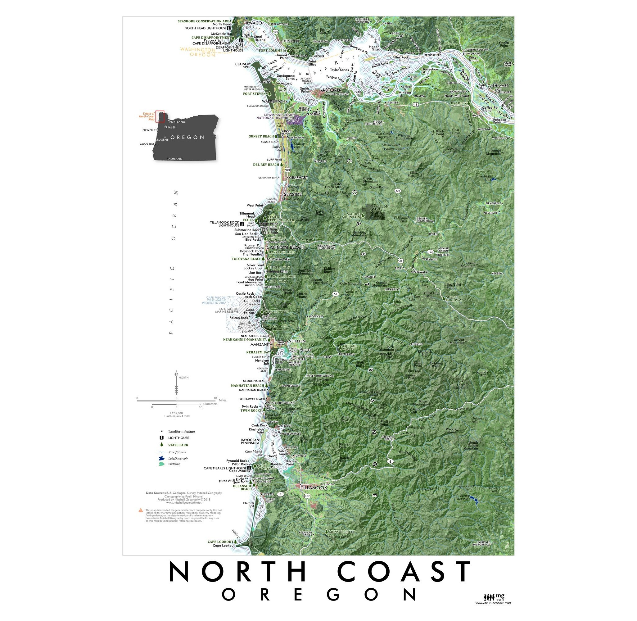
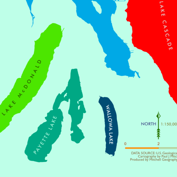
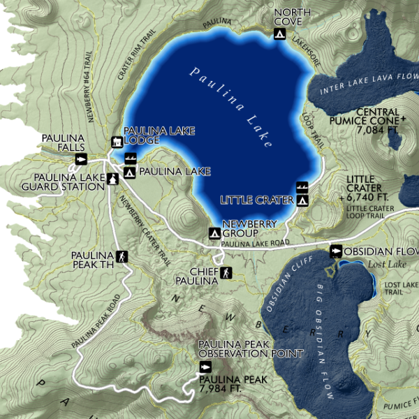
Image 1 of 4
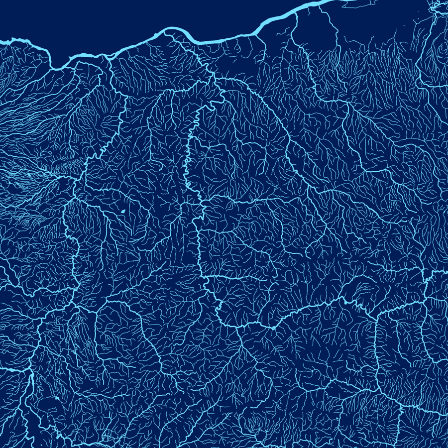
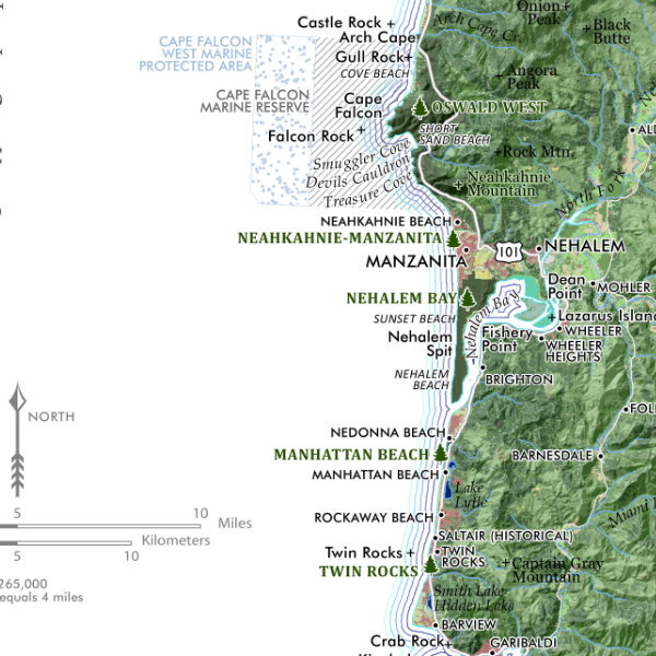
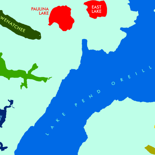
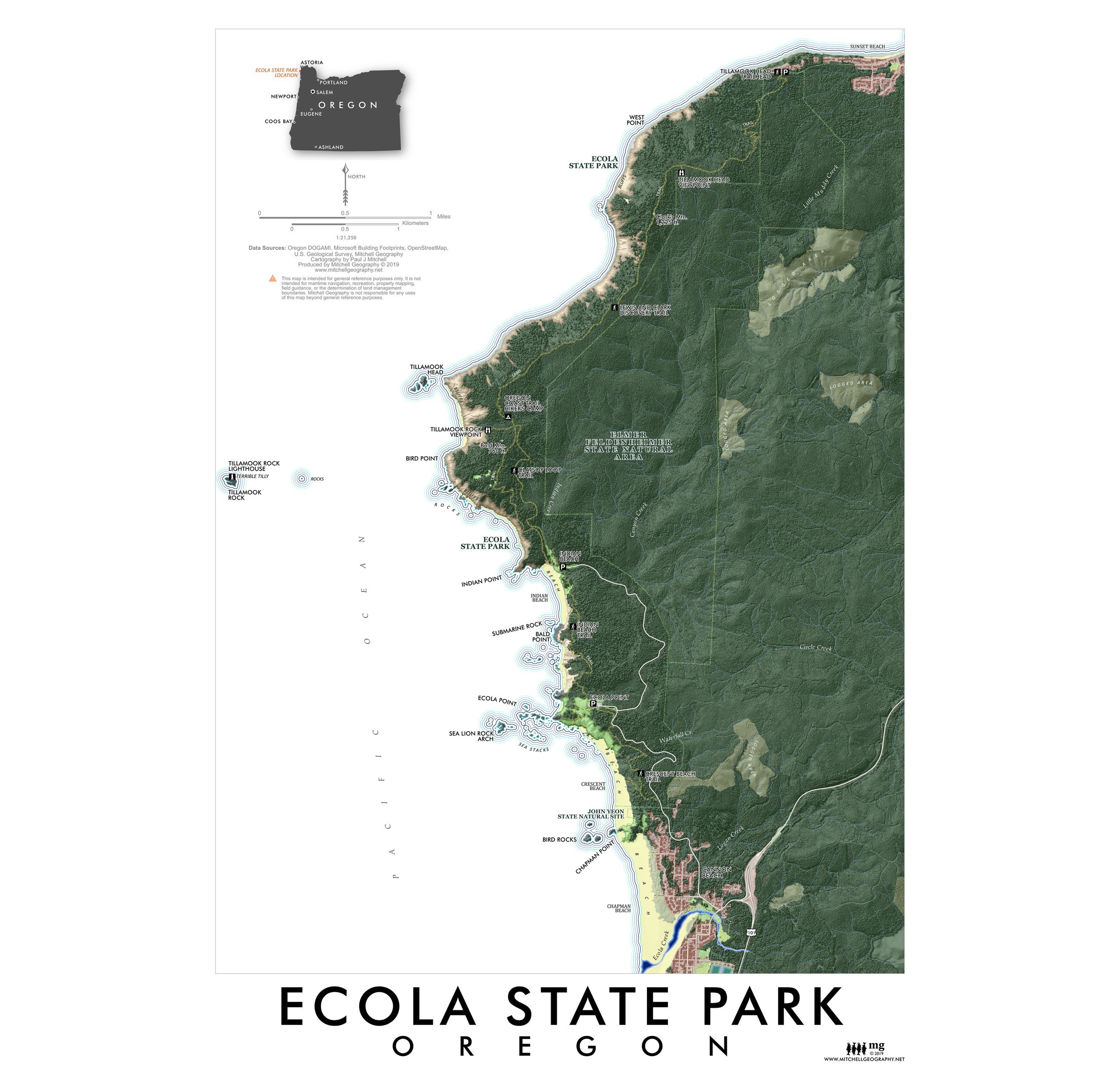
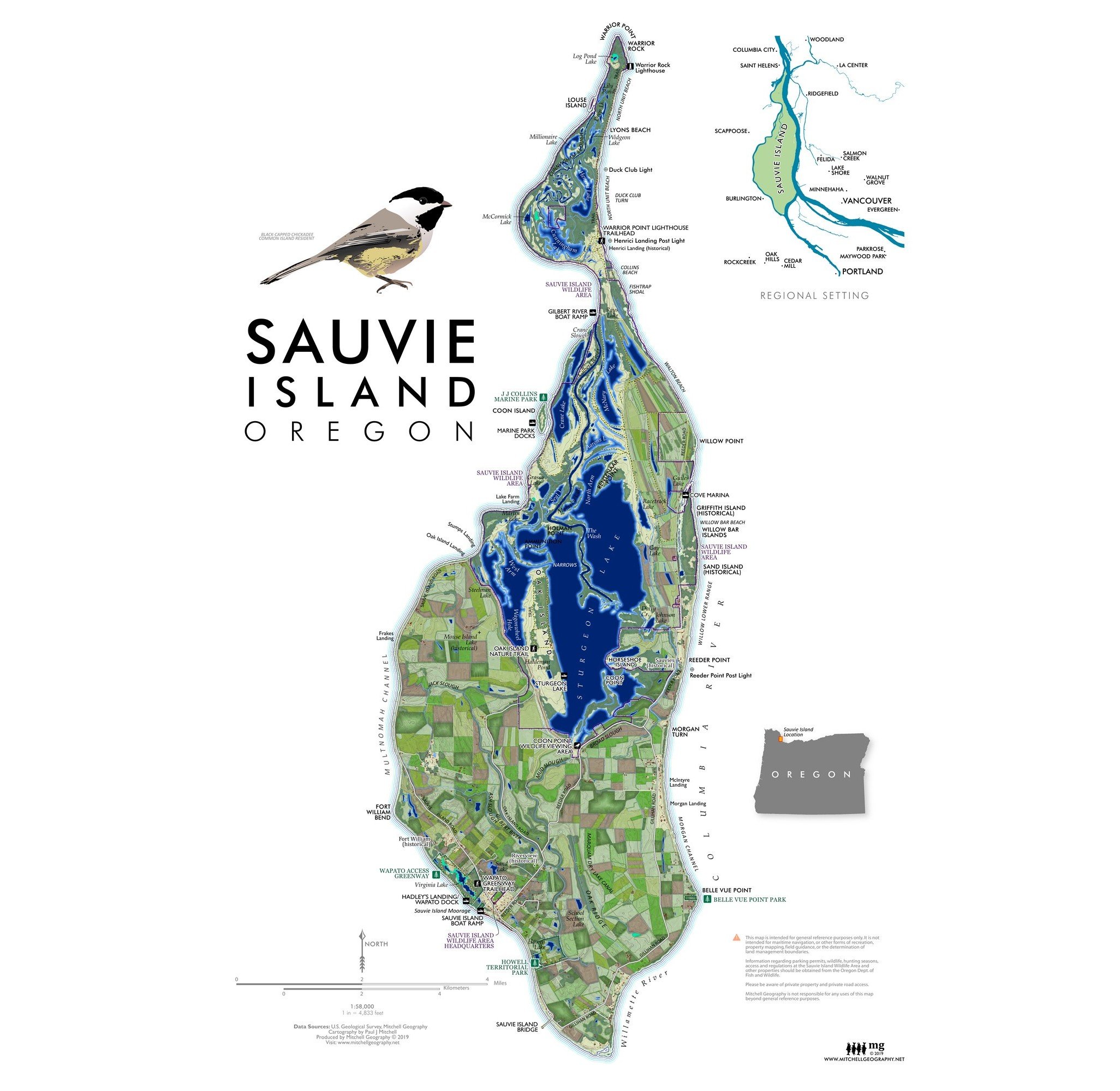 Image 2 of 4
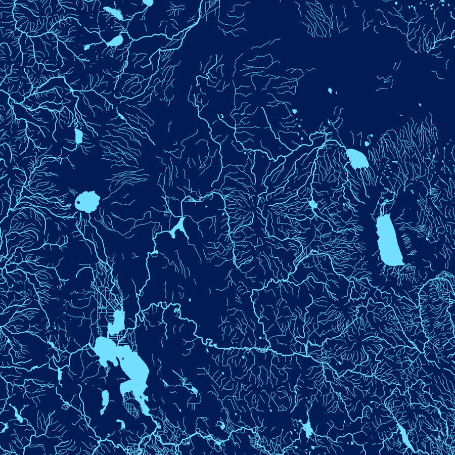
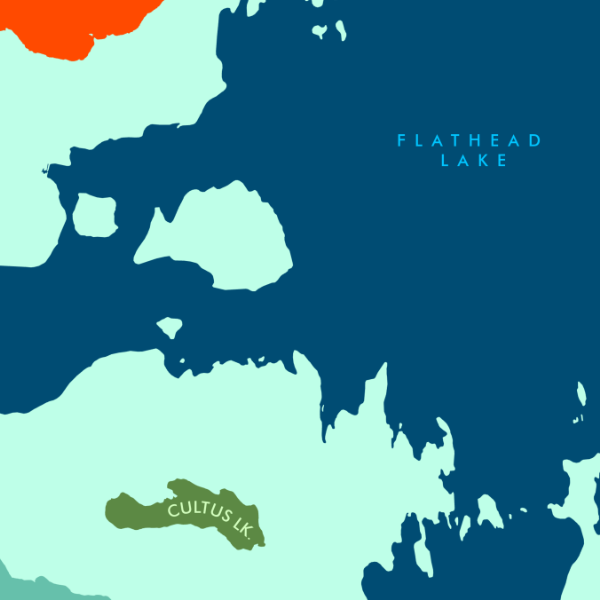
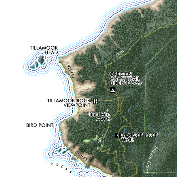
 Image 3 of 4
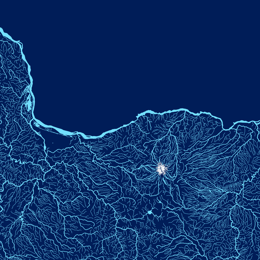
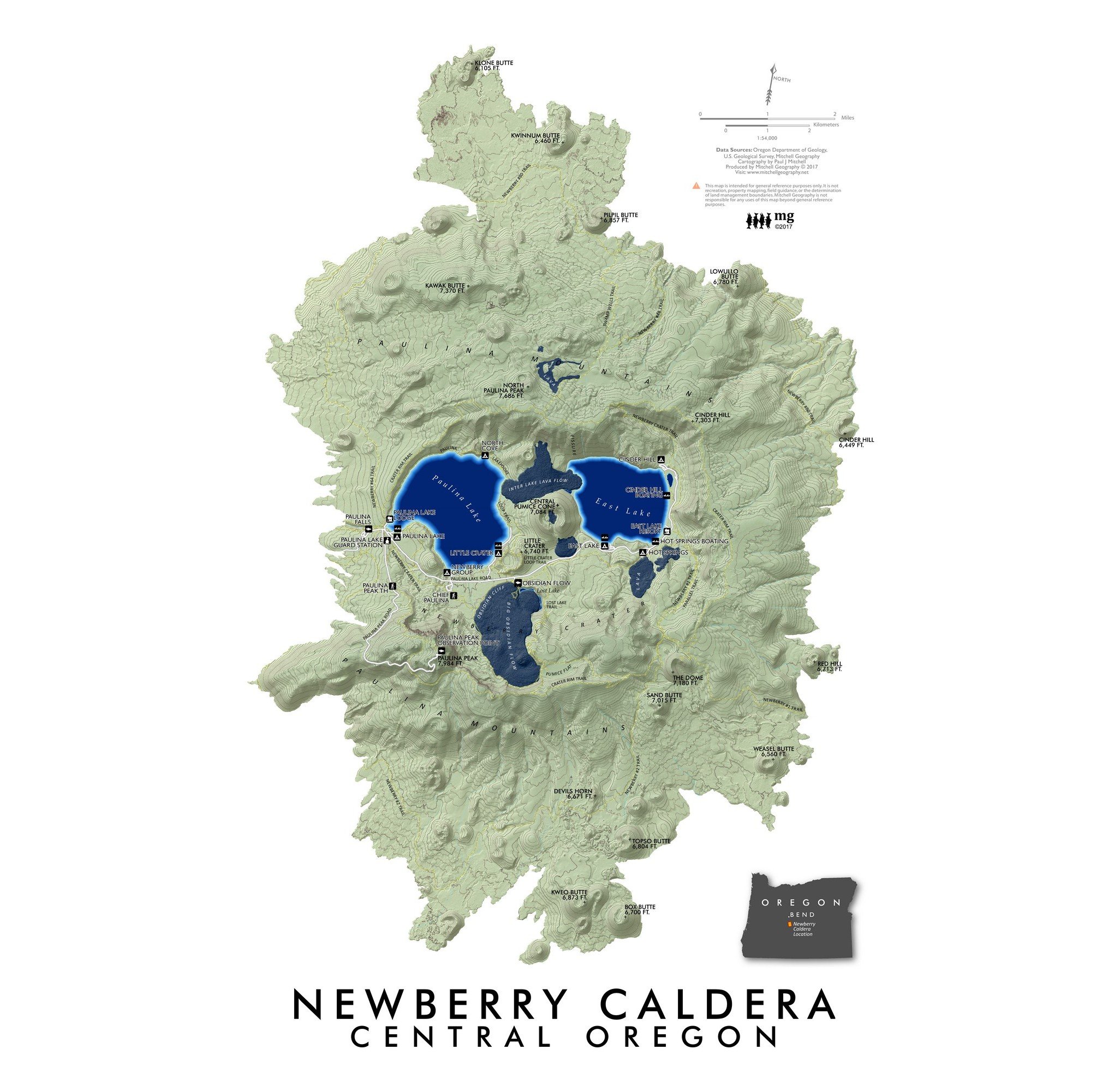
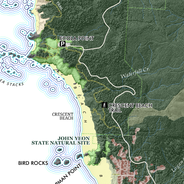
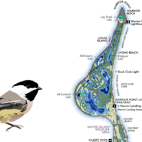 Image 4 of 4
1:58,000
13 inch by 19 inch flat wall map, printed on heavy fine paper. Packed and shipped flat.
Sauvie Island - Portland, Oregon. Feature map of Sauvie Island, located at the confluence of the Willamette and Columbia Rivers — surrounded by these two rivers and Multnomah Channel on the west. Colorful rendering to include the farm fields and maze like complex of wetlands, sloughs, ponds, and lakes of the Sauvie Island Wildlife Area. Trails and tracks are mapped along with primary features of interest pertinent to the map’s scale.