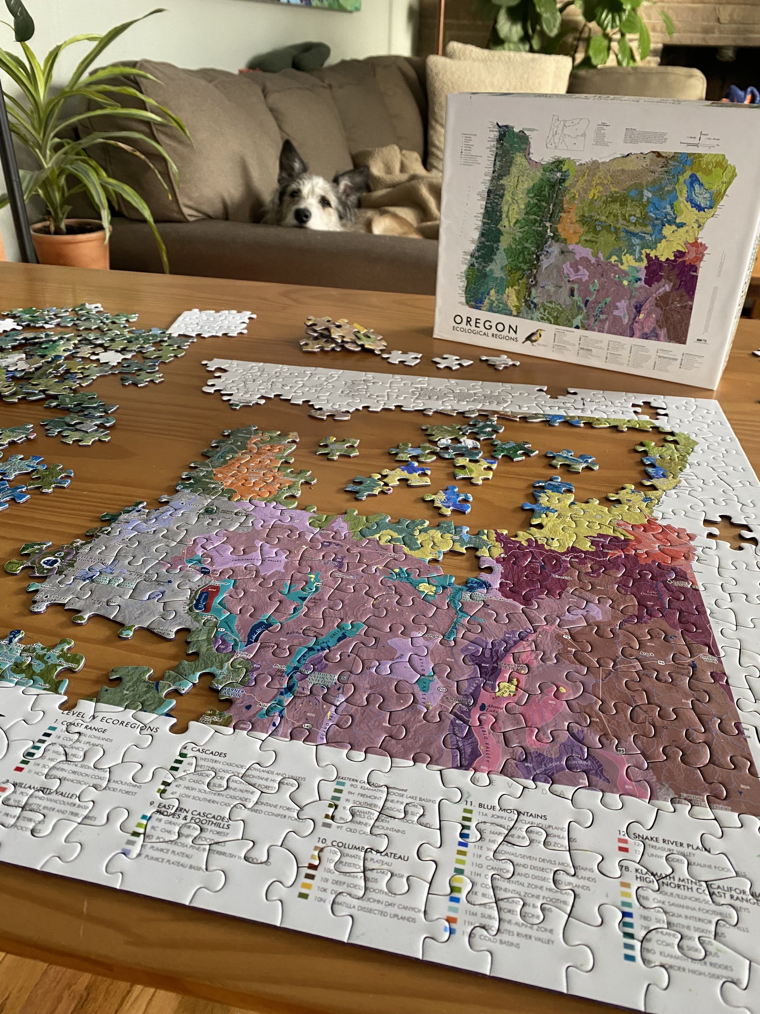
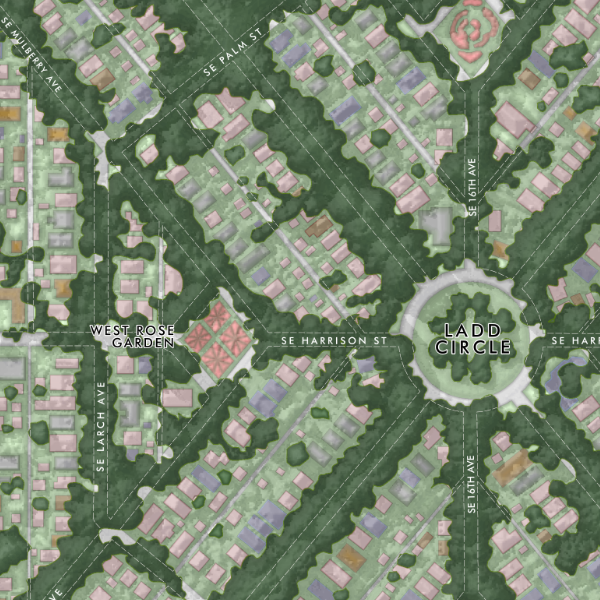
 Image 1 of 5
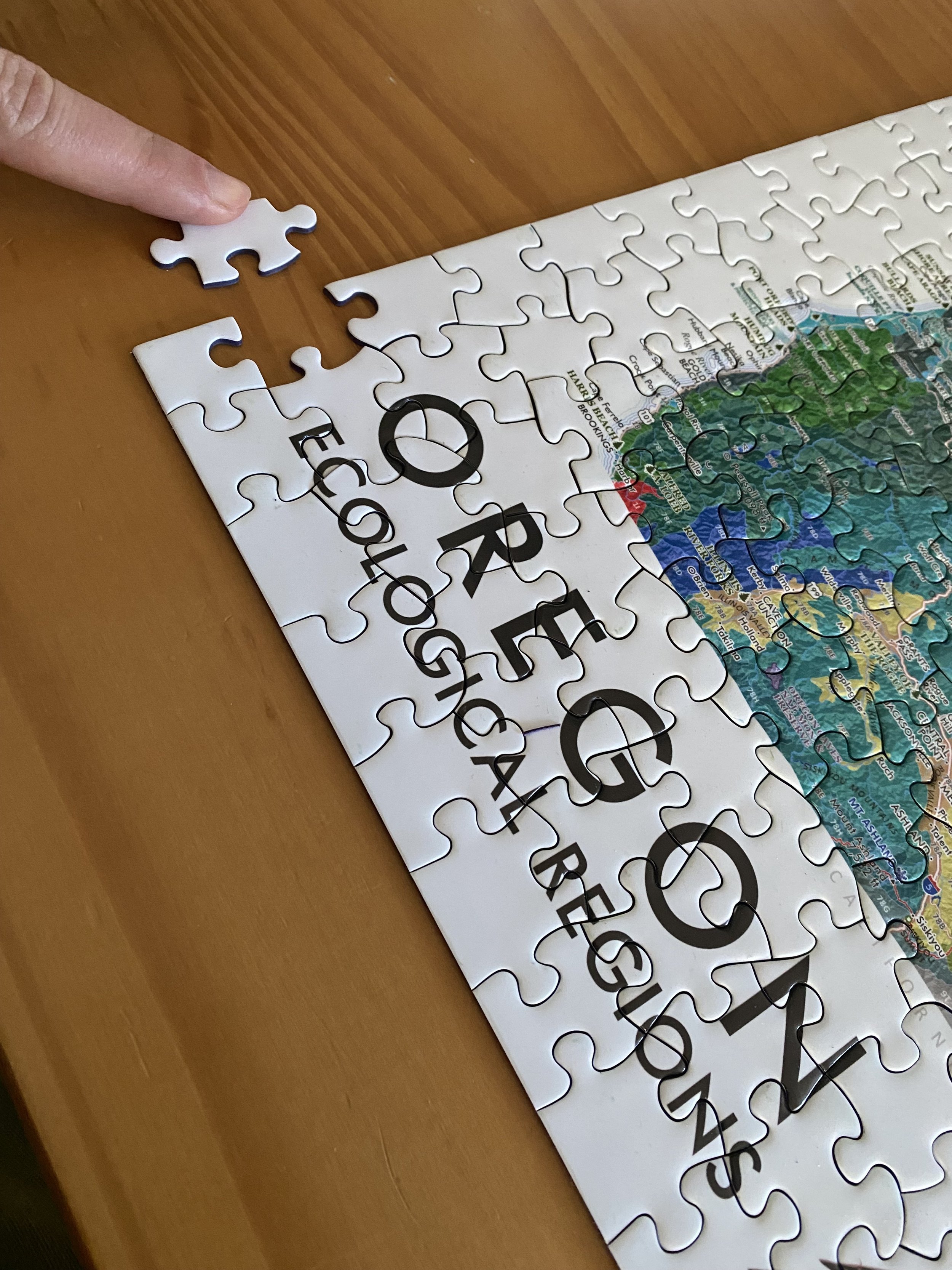
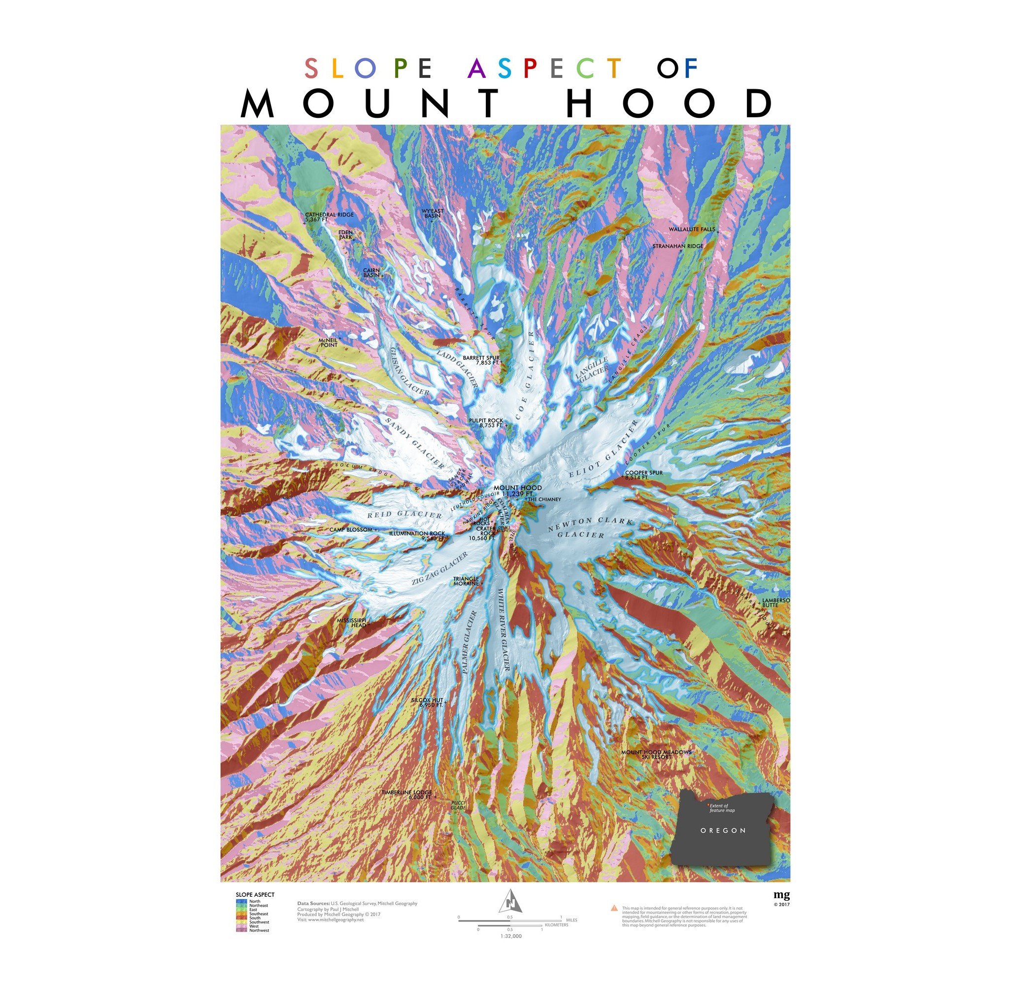
 Image 2 of 5
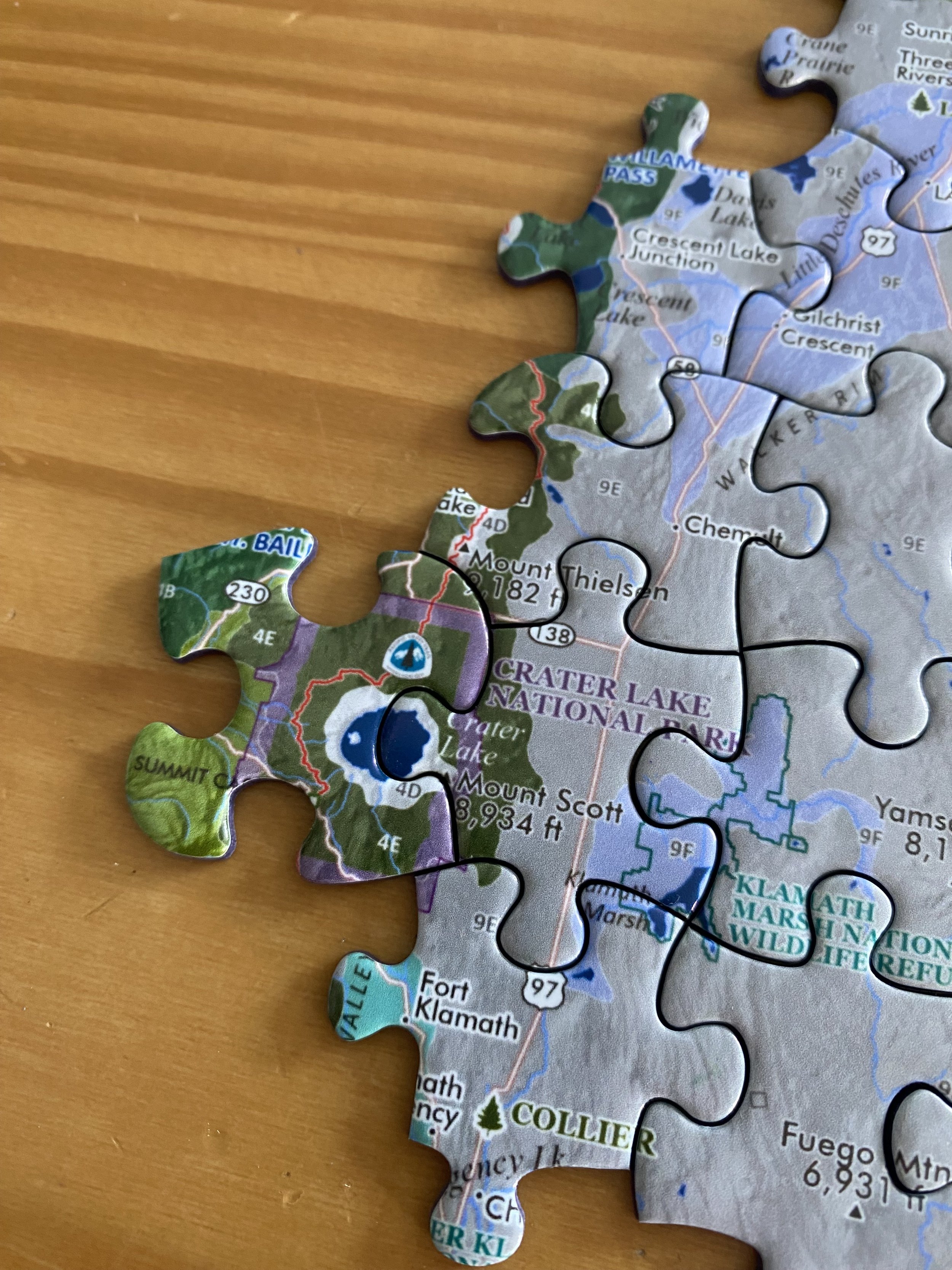
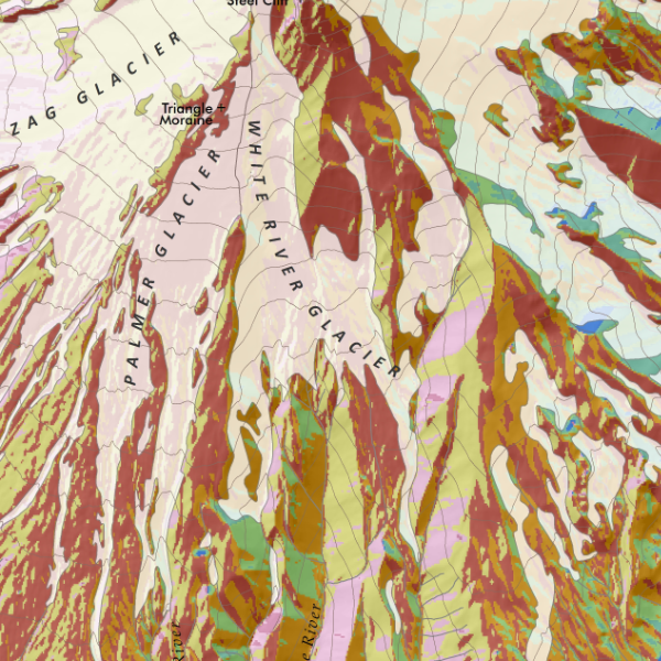
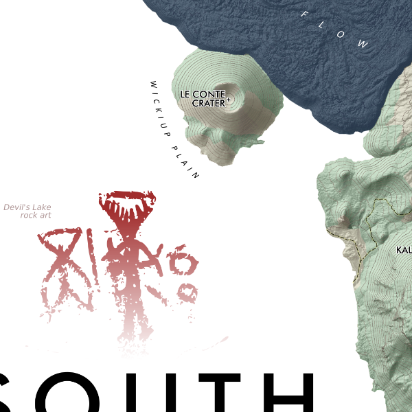 Image 3 of 5
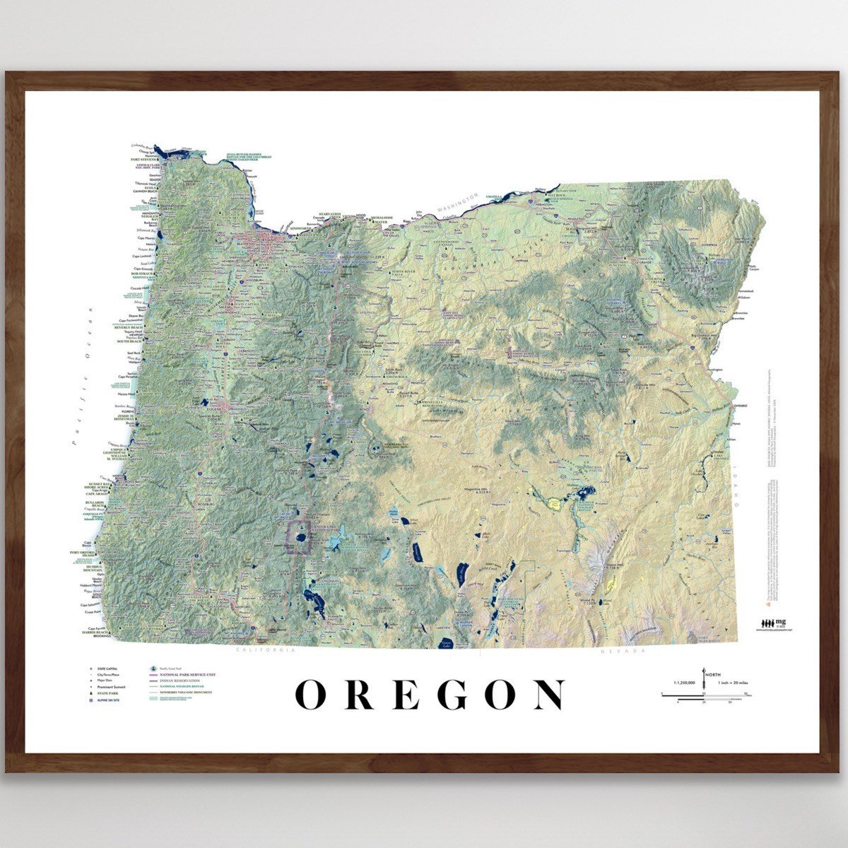
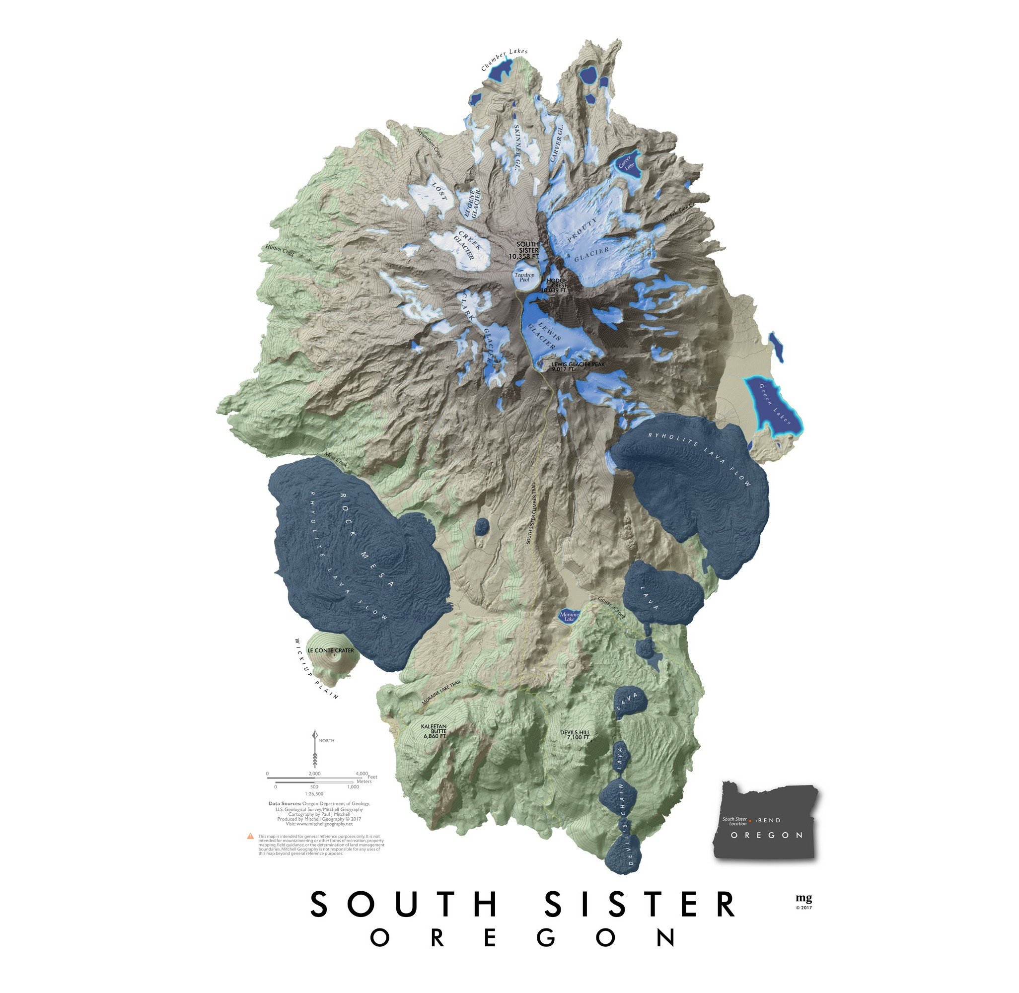
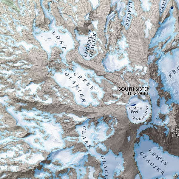 Image 4 of 5
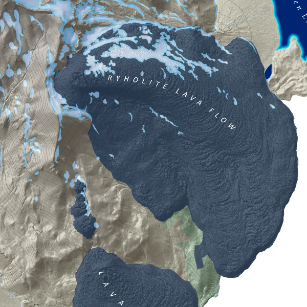 Image 5 of 5
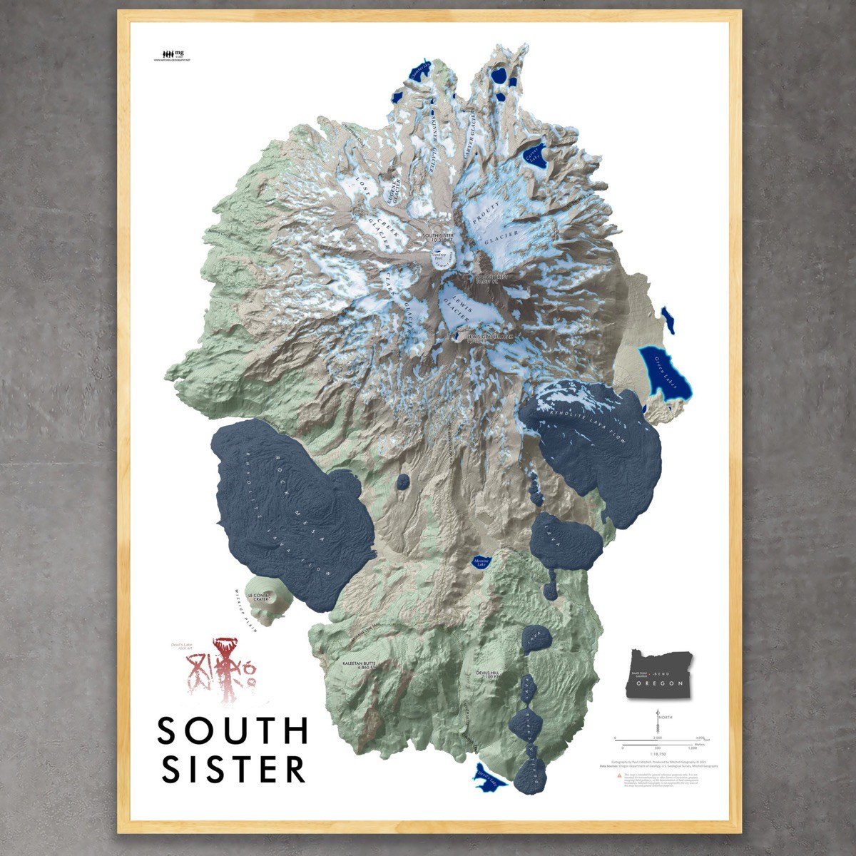
1:18,750
18 inch x 24 inch — flat wall map, printed on a heavy fine paper — shipped rolled.
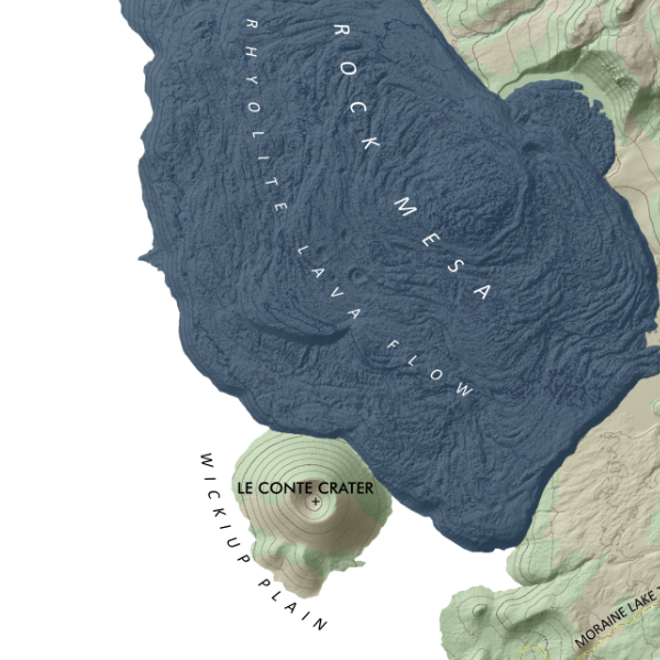
South Sister, Oregon. Lava flows, glaciers, massive summer snowfields, alpine lakes, exceptional scenery -- what's not to like about the tallest of the Three Sisters in Central Oregon. Tried to capture those feelings in this colorful map of the volcano that's based upon 3 foot resolution Lidar terrain data. South Sister Climbers and Moraine Lake Trails are included along with landform labels for reference.
1:18,750
18 inch x 24 inch — flat wall map, printed on a heavy fine paper — shipped rolled.
South Sister, Oregon. Lava flows, glaciers, massive summer snowfields, alpine lakes, exceptional scenery -- what's not to like about the tallest of the Three Sisters in Central Oregon. Tried to capture those feelings in this colorful map of the volcano that's based upon 3 foot resolution Lidar terrain data. South Sister Climbers and Moraine Lake Trails are included along with landform labels for reference.