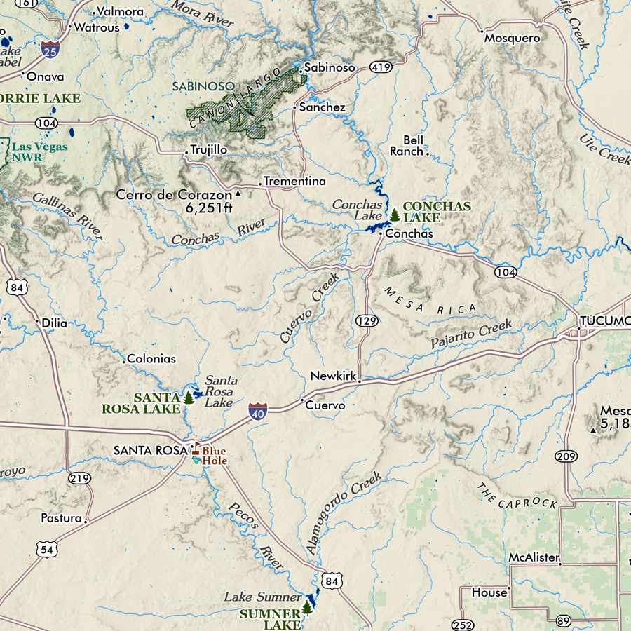
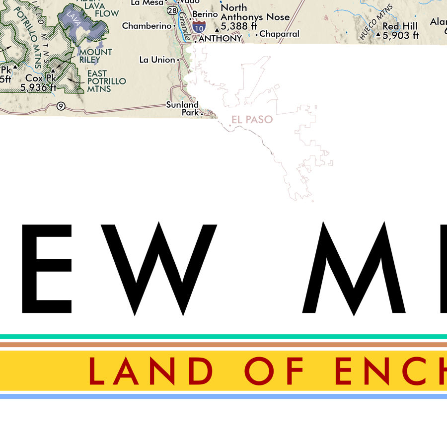
Image 1 of 3
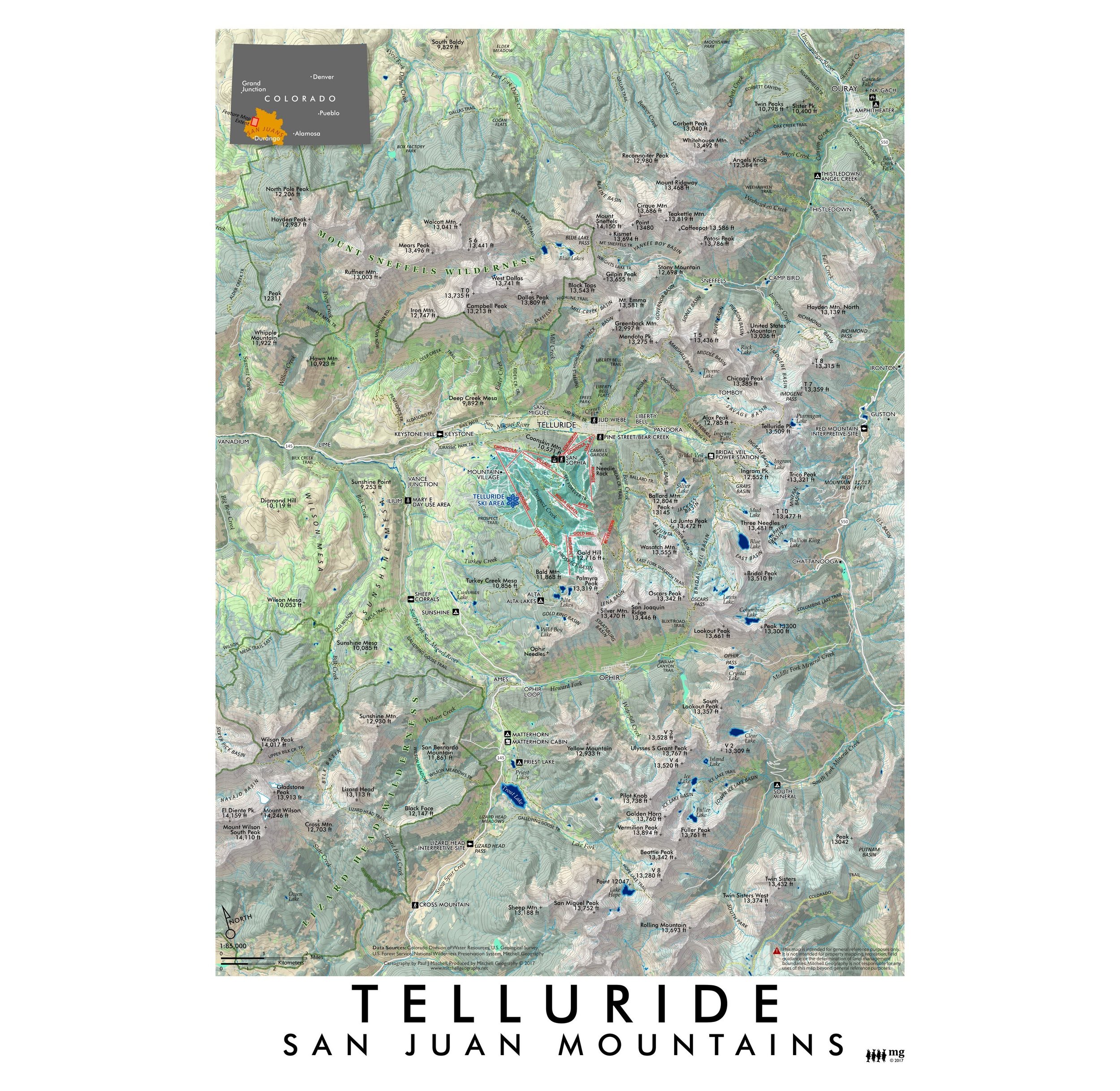 Image 2 of 3
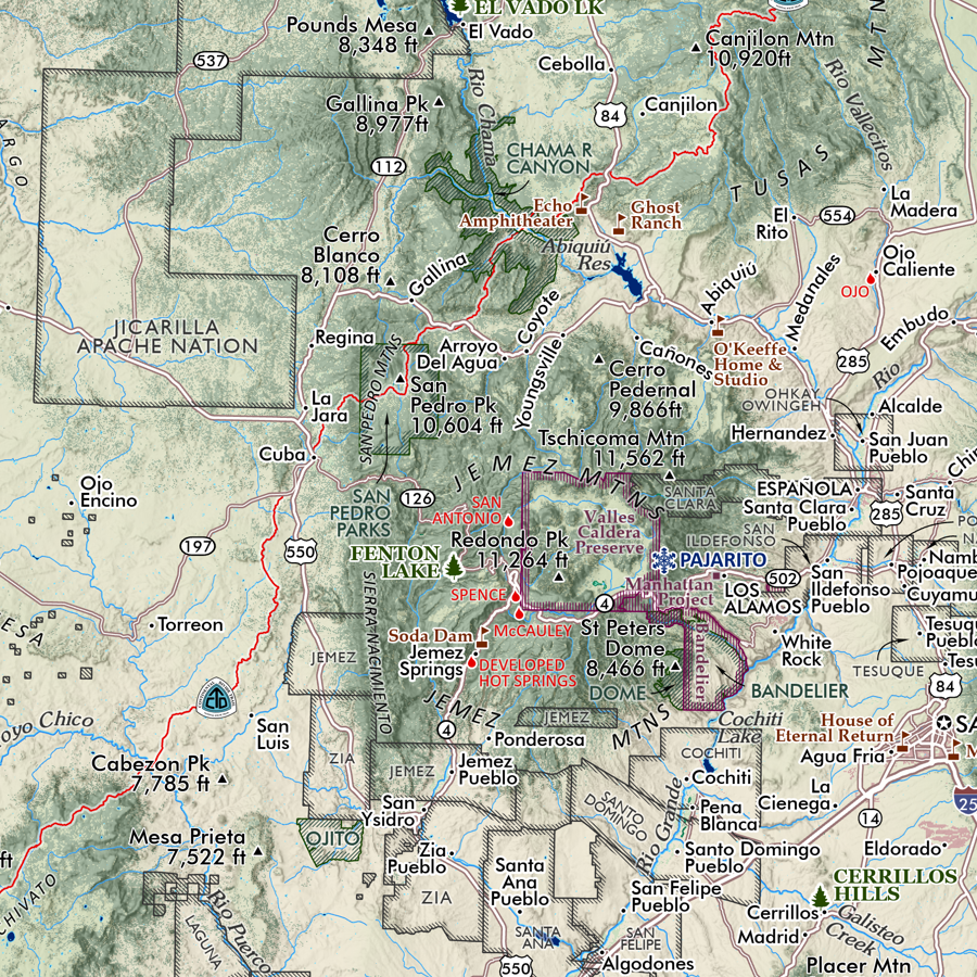
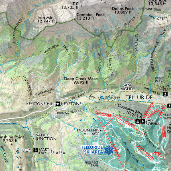 Image 3 of 3
1:85,000
13 inch by 19 inch flat wall map, printed on heavy fine paper. Packed and shipped flat.
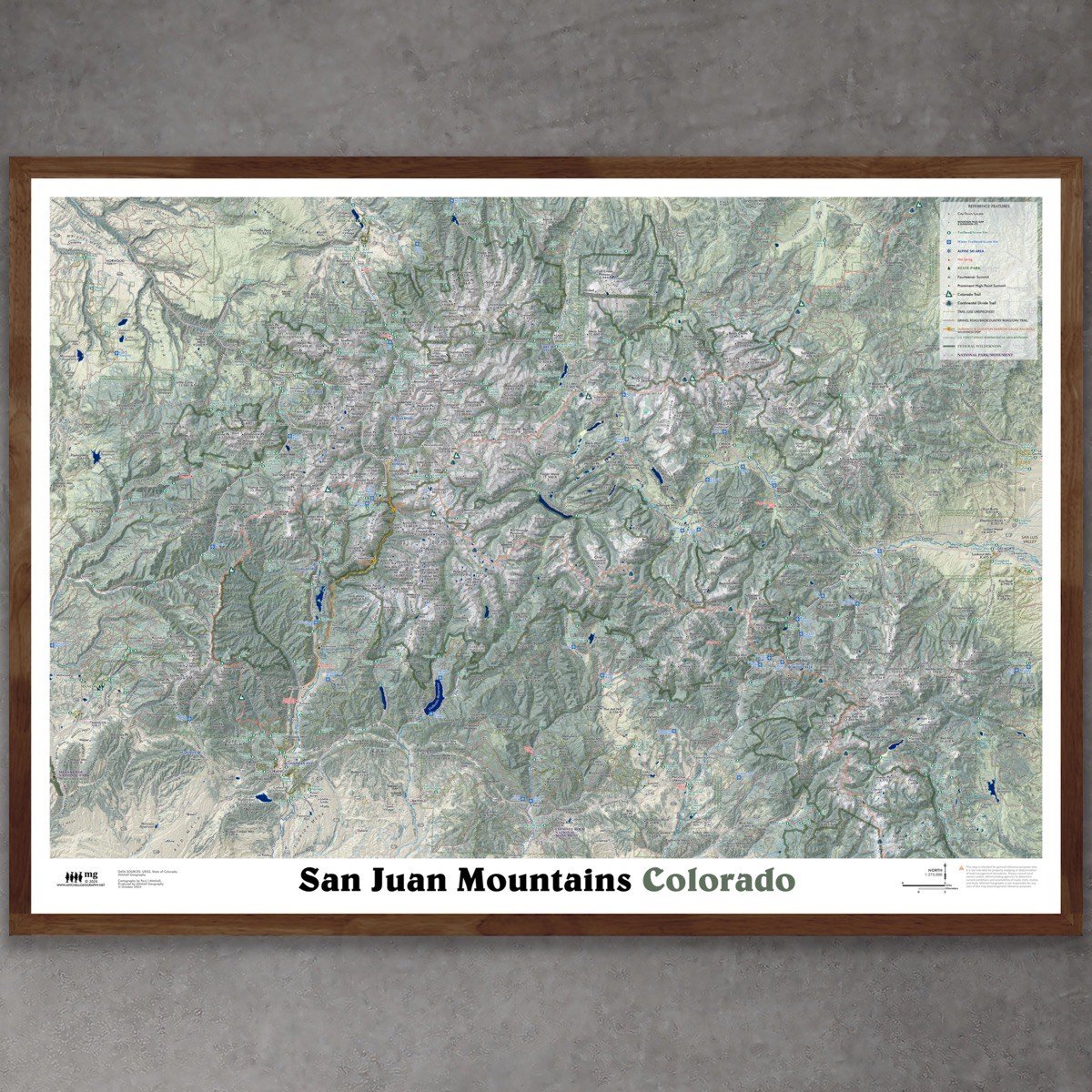
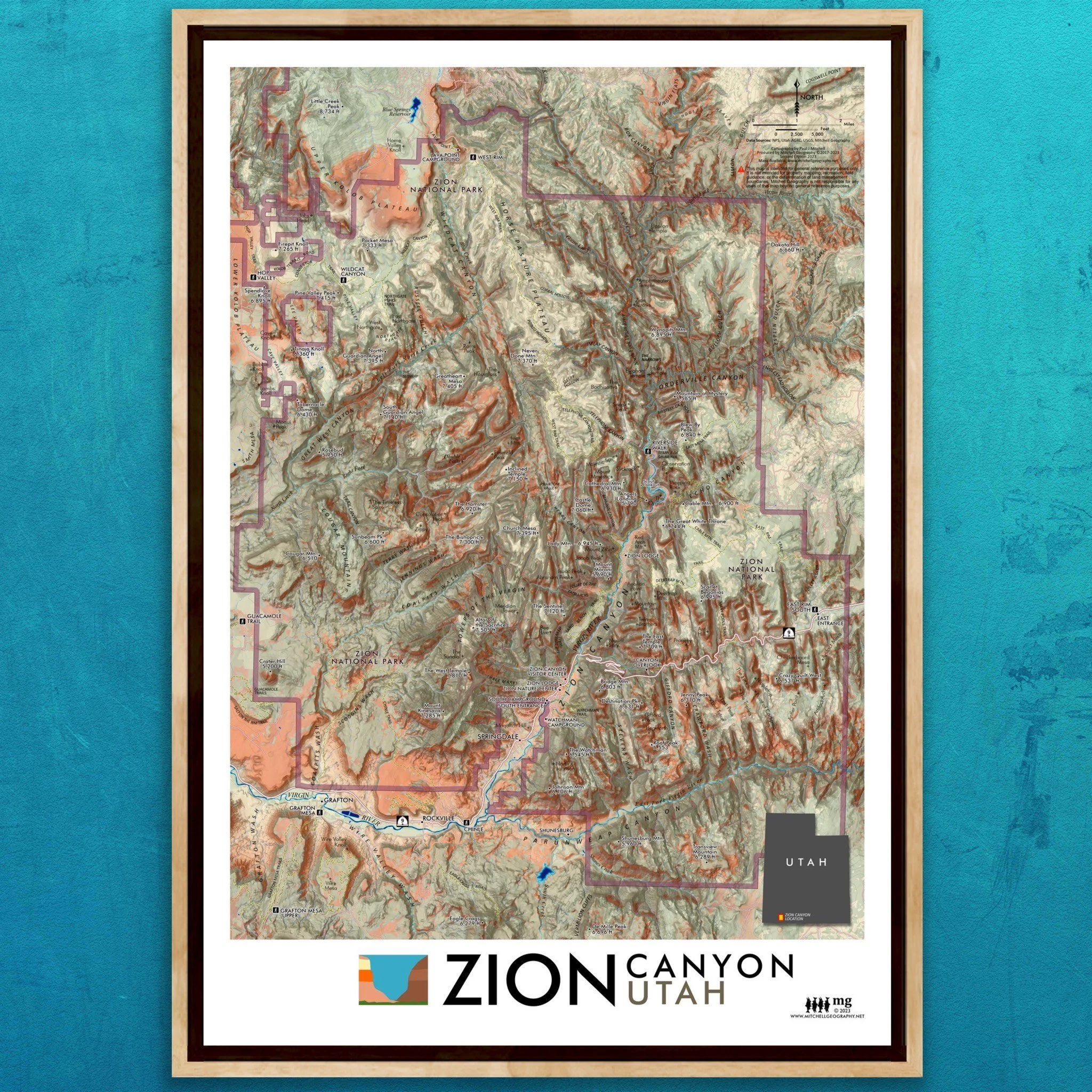
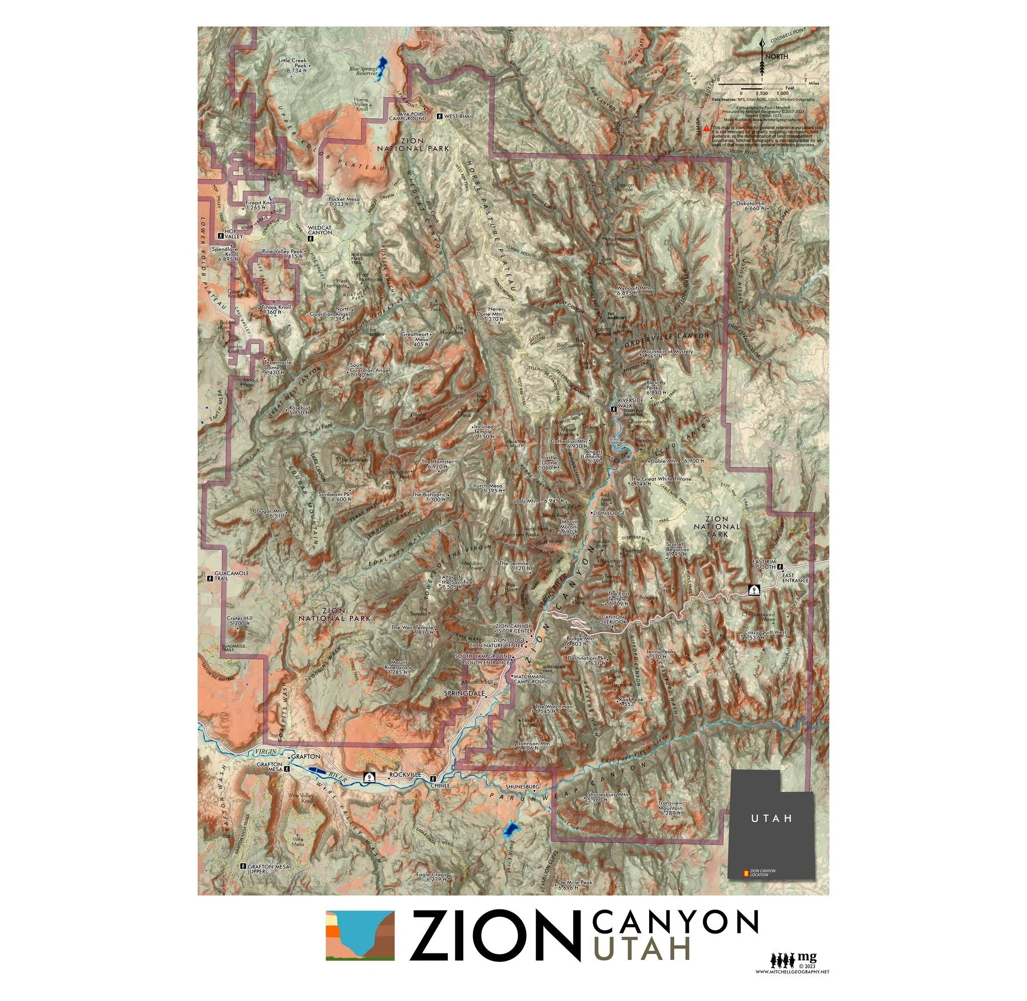
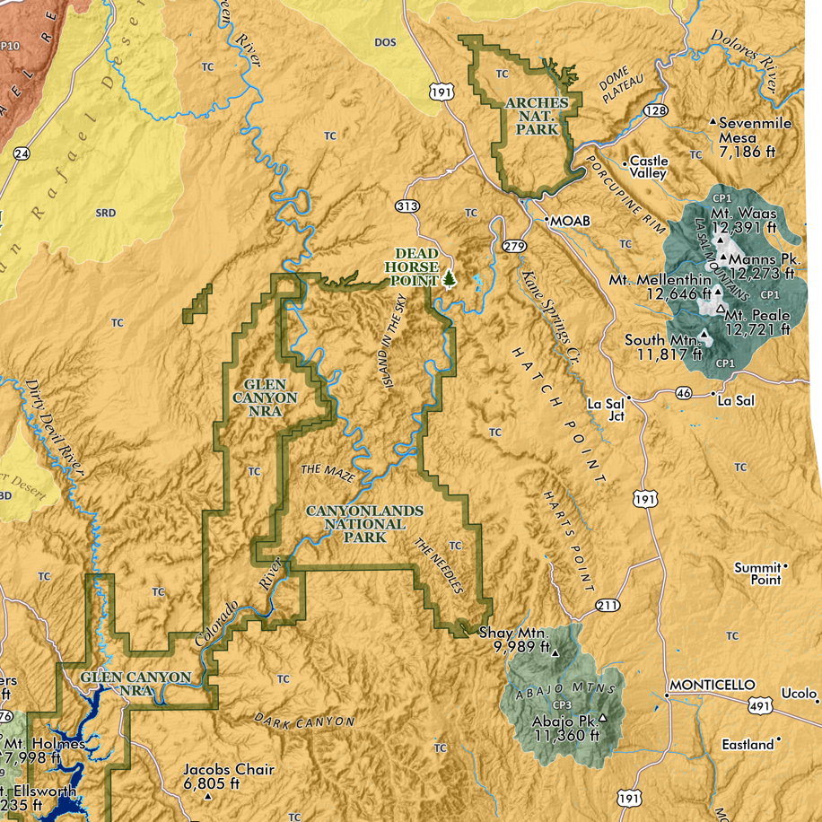
Telluride, Colorado. Vicinity map of Telluride in the San Juan Mountains of southwestern Colorado. Featuring an extent that includes the Mount Sneffels Wilderness in the north to San Miguel Peak and the Twin Sisters in the south, Red Mountain Pass to the east and the 14ers within the Lizard Head Wilderness to the west. Trails, place names (including most ghost towns), lakes, USFS recreational sites, and features of the alpine Telluride Ski Area are depicted for reference.
1:85,000
13 inch by 19 inch flat wall map, printed on heavy fine paper. Packed and shipped flat.
Telluride, Colorado. Vicinity map of Telluride in the San Juan Mountains of southwestern Colorado. Featuring an extent that includes the Mount Sneffels Wilderness in the north to San Miguel Peak and the Twin Sisters in the south, Red Mountain Pass to the east and the 14ers within the Lizard Head Wilderness to the west. Trails, place names (including most ghost towns), lakes, USFS recreational sites, and features of the alpine Telluride Ski Area are depicted for reference.