Image 1 of 4
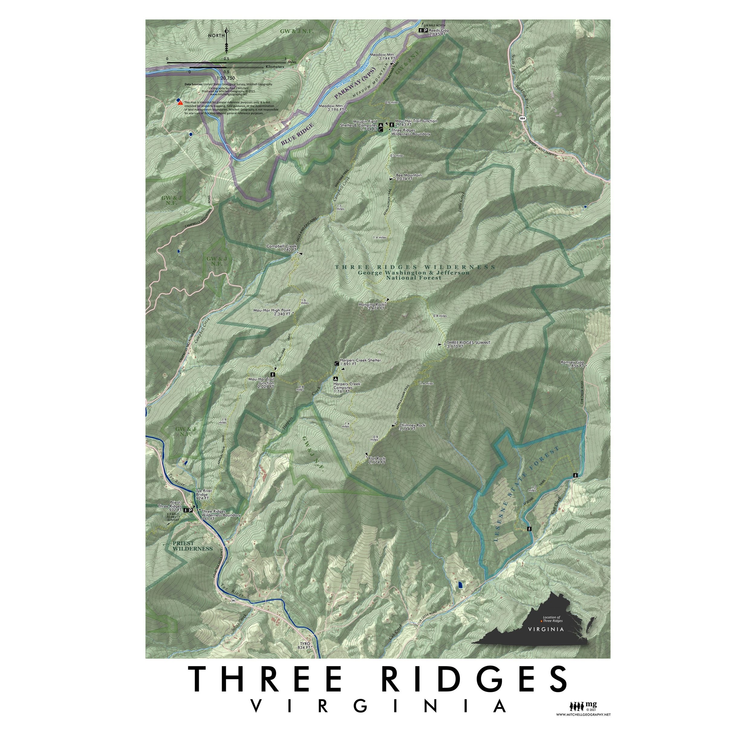 Image 2 of 4
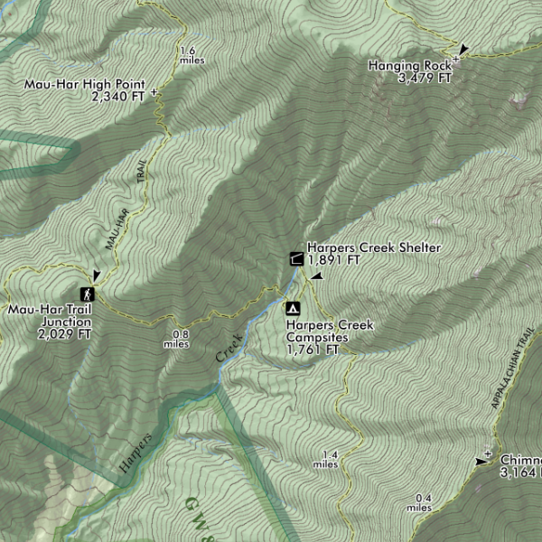 Image 3 of 4
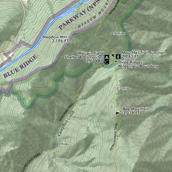 Image 4 of 4
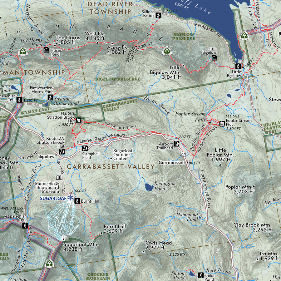
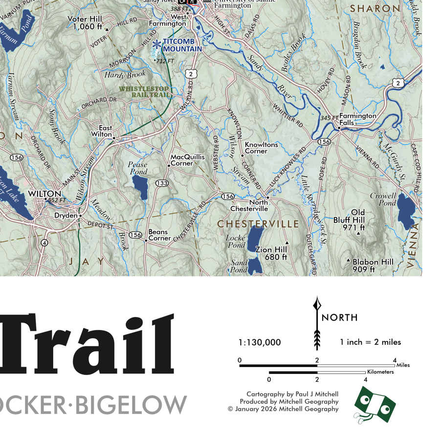
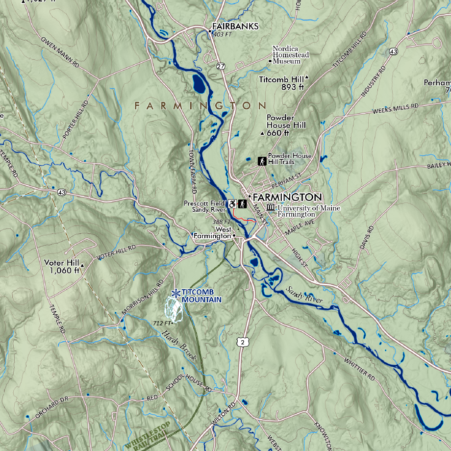
1:20,750
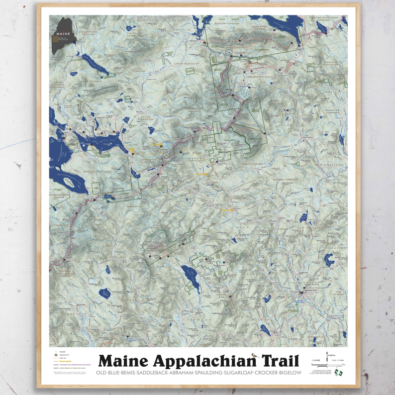
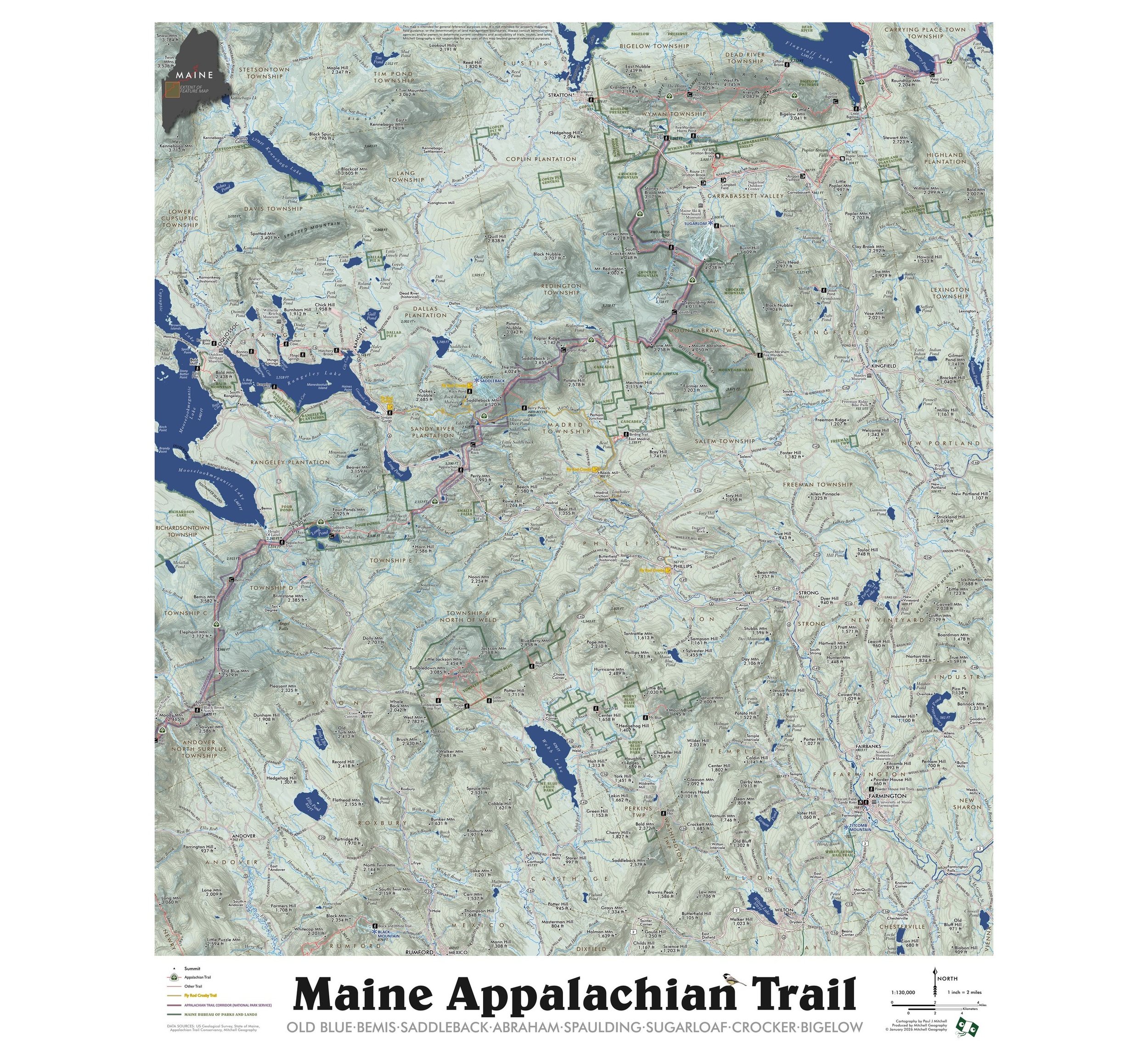
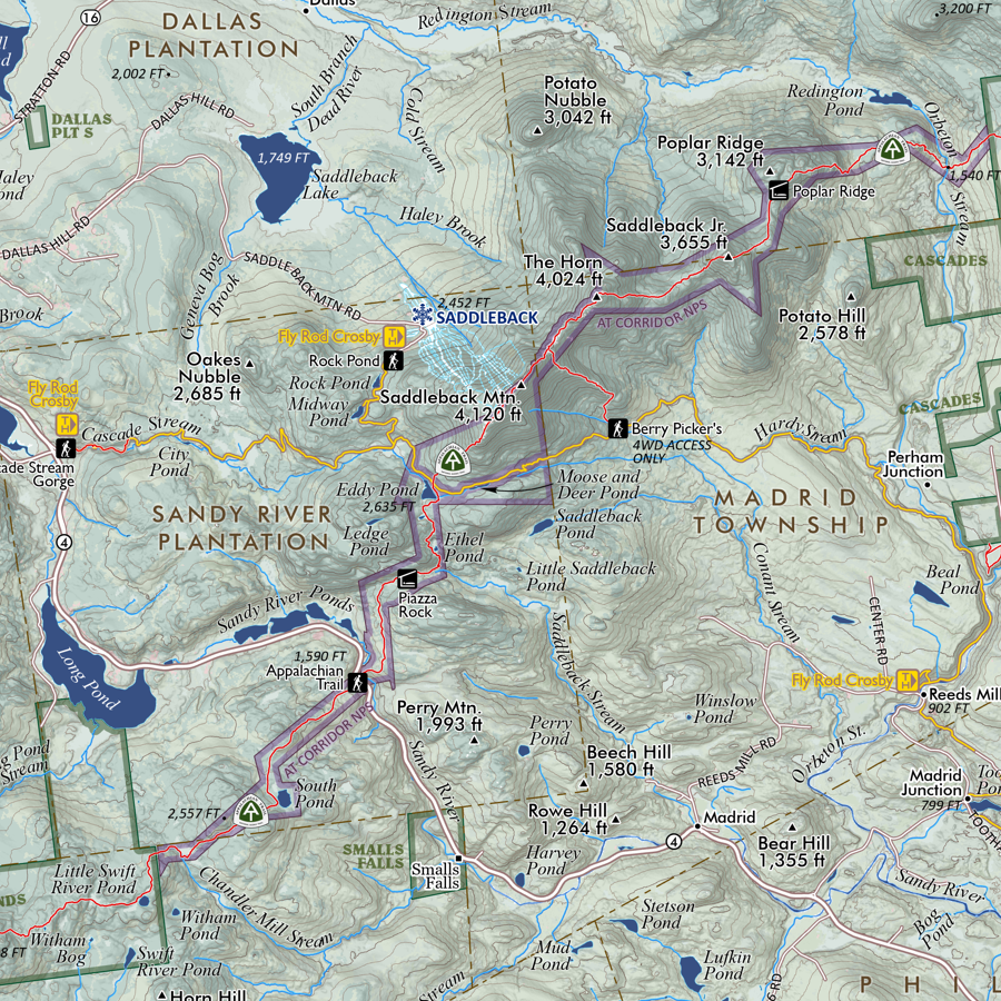
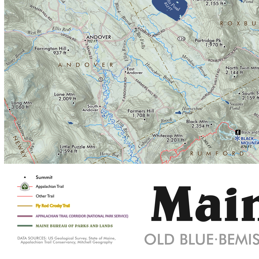
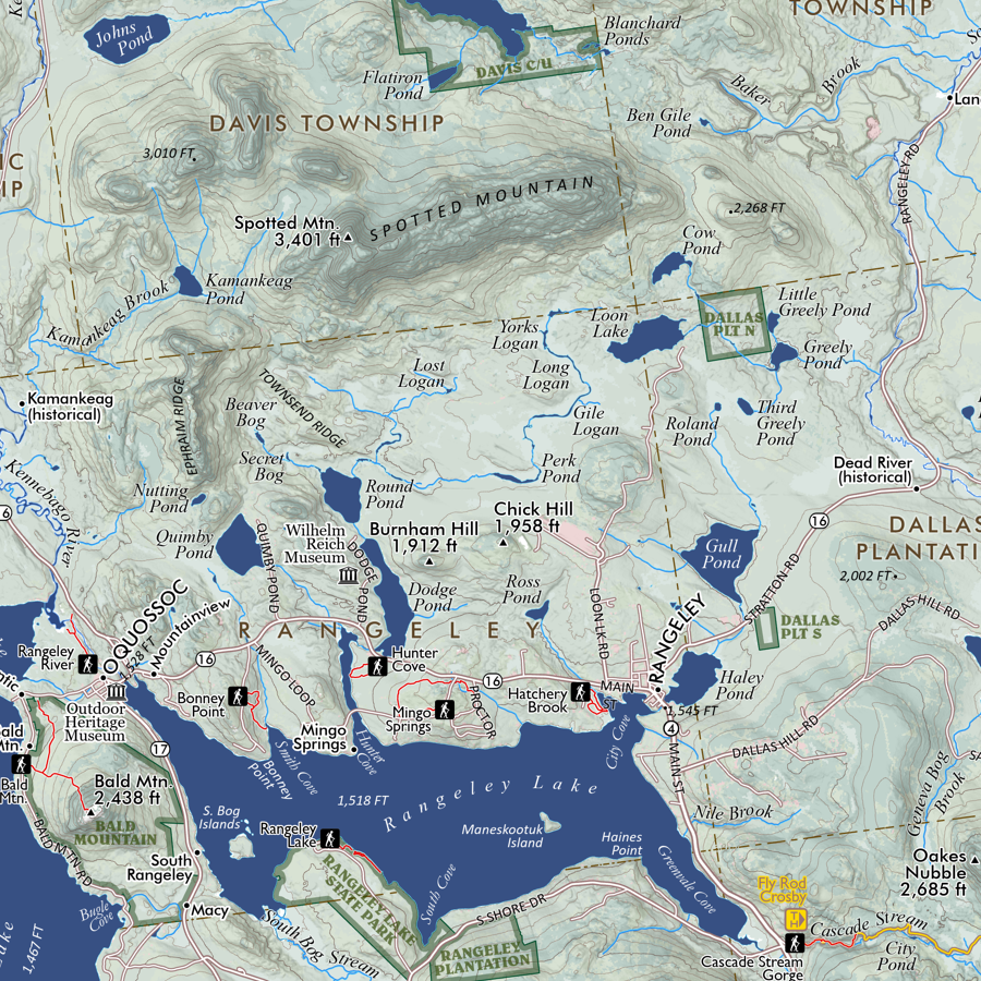
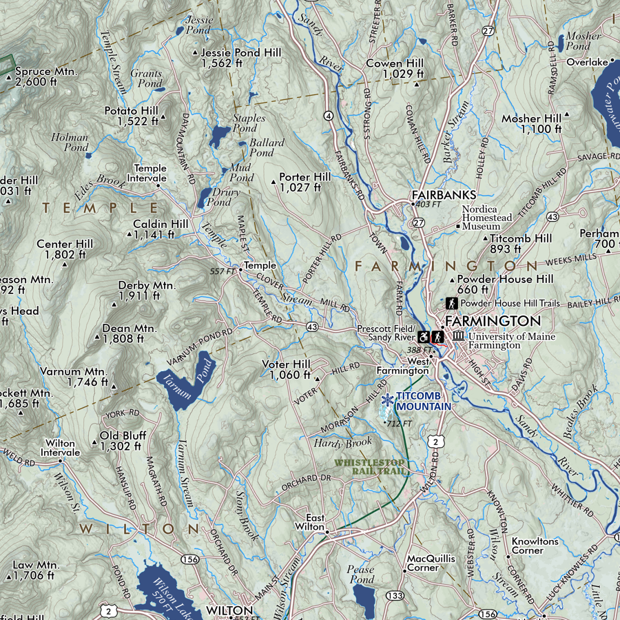
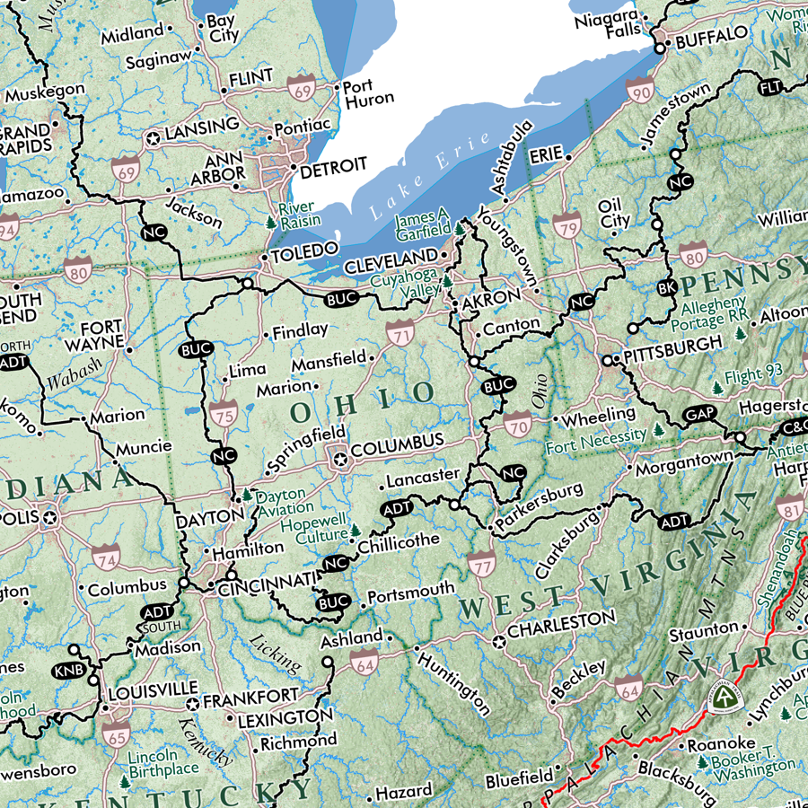
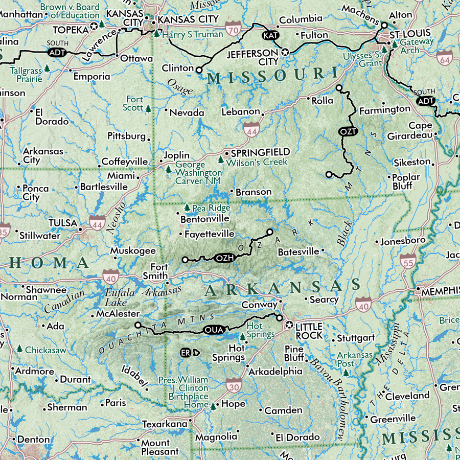
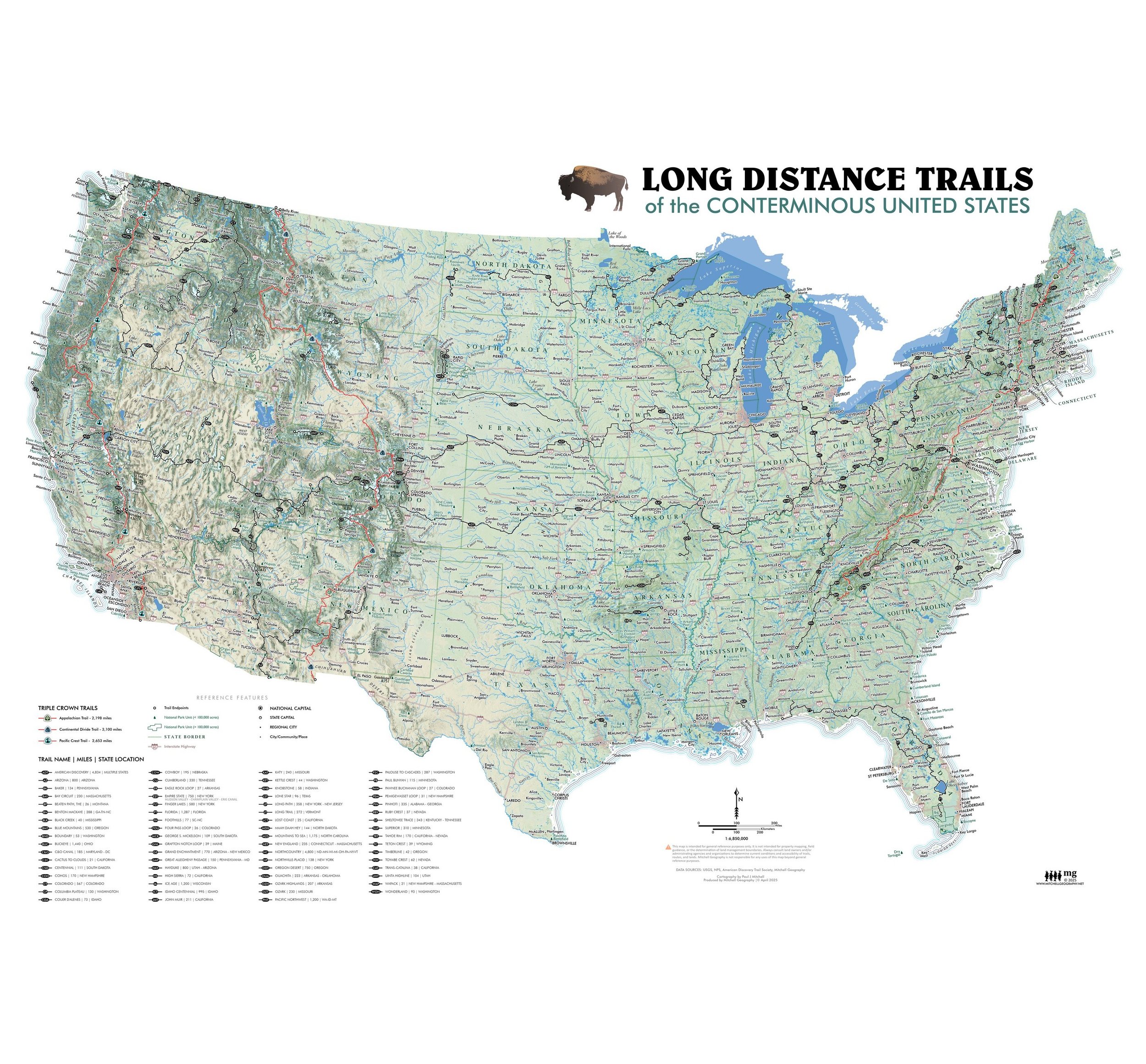
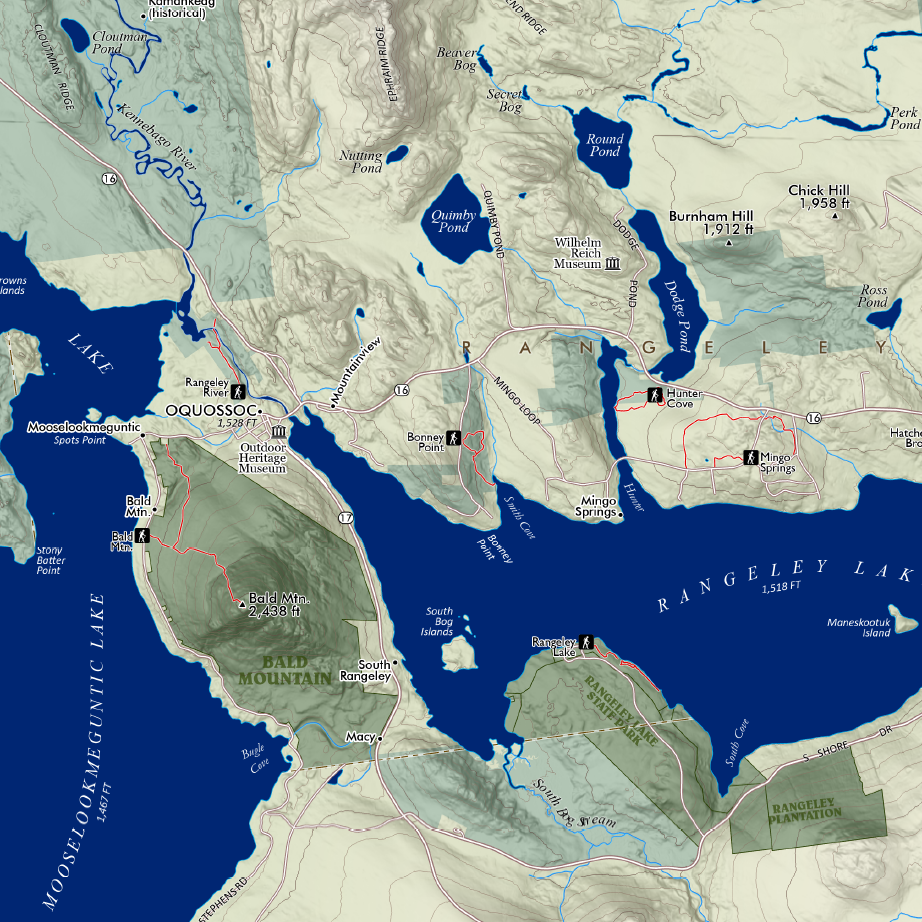
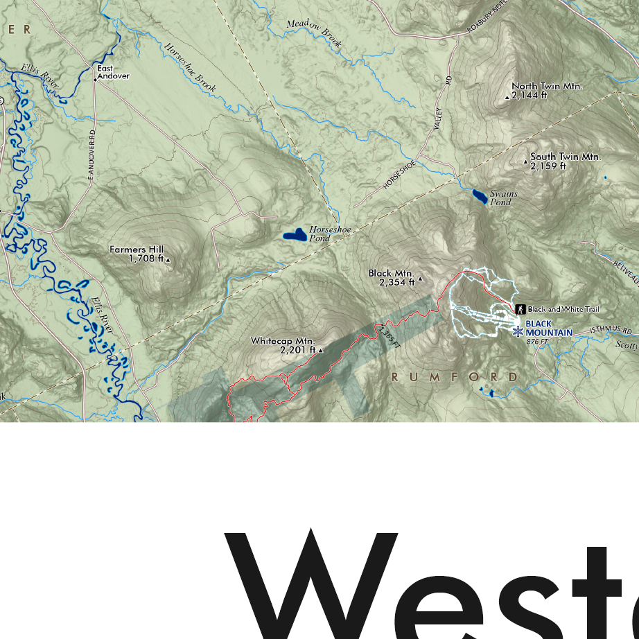
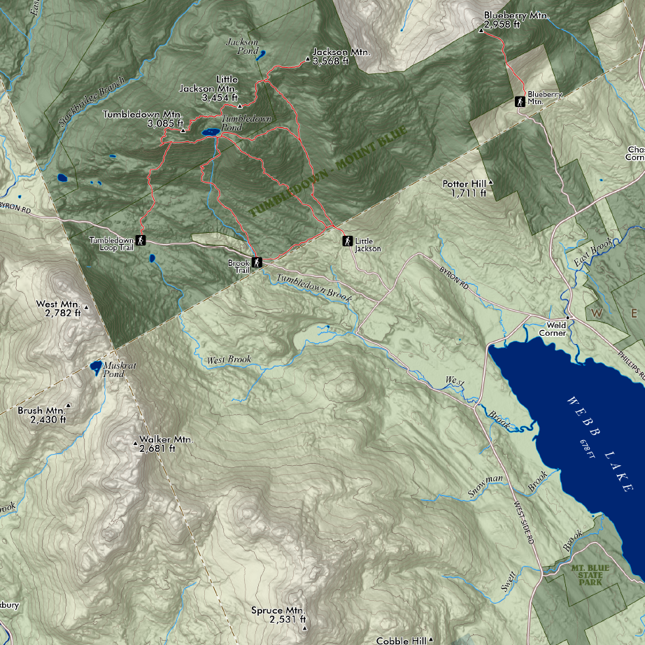
This is a 13 inch x 19 inch flat poster wall map, printed on heavy fine paper. Packed and shipped flat.
Three Ridges, Virginia. A notable central Virginia peak — Three Ridges you may recall as a monster climb or decent thru-hiking the AT or as the perfect two day backpacking loop when throwing in the Mau-Har Trail. While this is a small wall map, it includes nice details such as mileages between and elevation so all notable viewpoints, trail crossings, etc. My folks live really close to here; maybe I’ll see you out there!
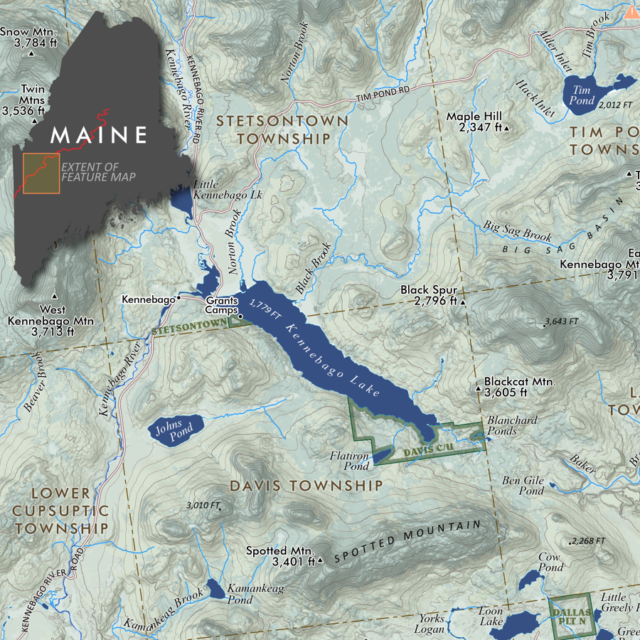
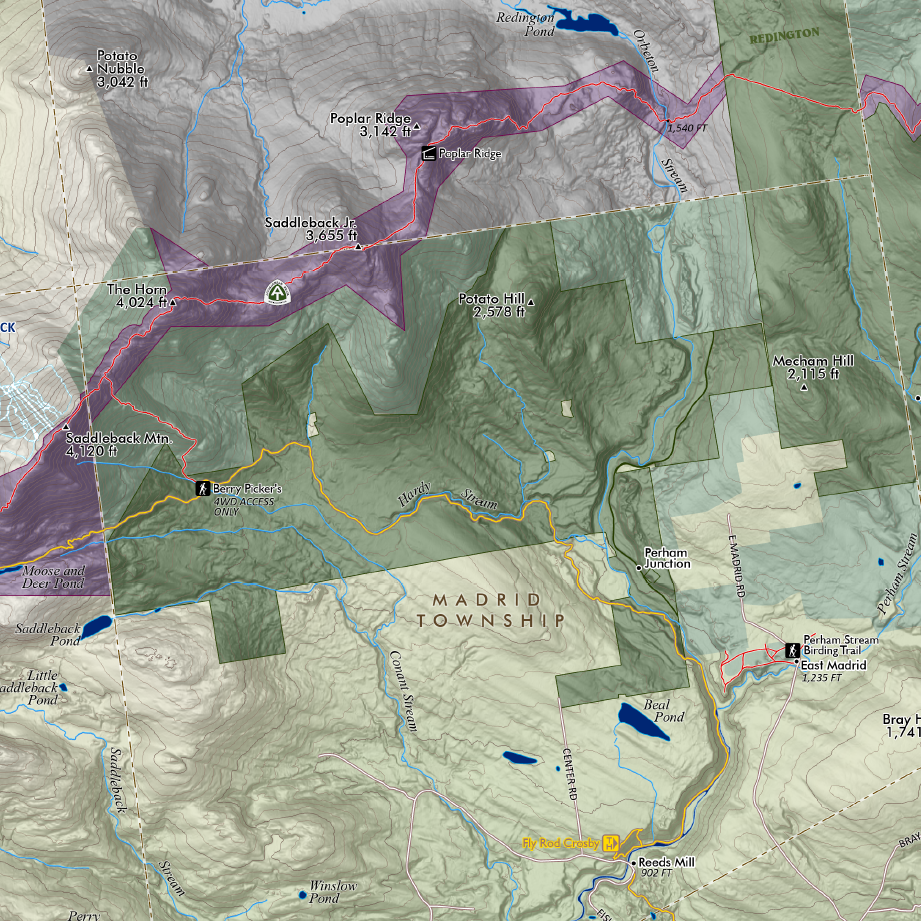
1:20,750
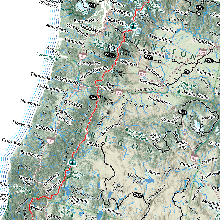
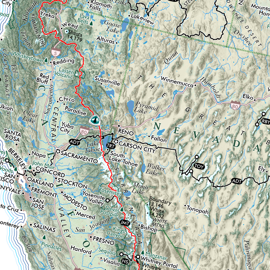
This is a 13 inch x 19 inch flat poster wall map, printed on heavy fine paper. Packed and shipped flat.
Three Ridges, Virginia. A notable central Virginia peak — Three Ridges you may recall as a monster climb or decent thru-hiking the AT or as the perfect two day backpacking loop when throwing in the Mau-Har Trail. While this is a small wall map, it includes nice details such as mileages between and elevation so all notable viewpoints, trail crossings, etc. My folks live really close to here; maybe I’ll see you out there!