1:1,150,000
28 inch x 18 inch — flat wall map, printed on a heavy fine paper — shipped rolled.
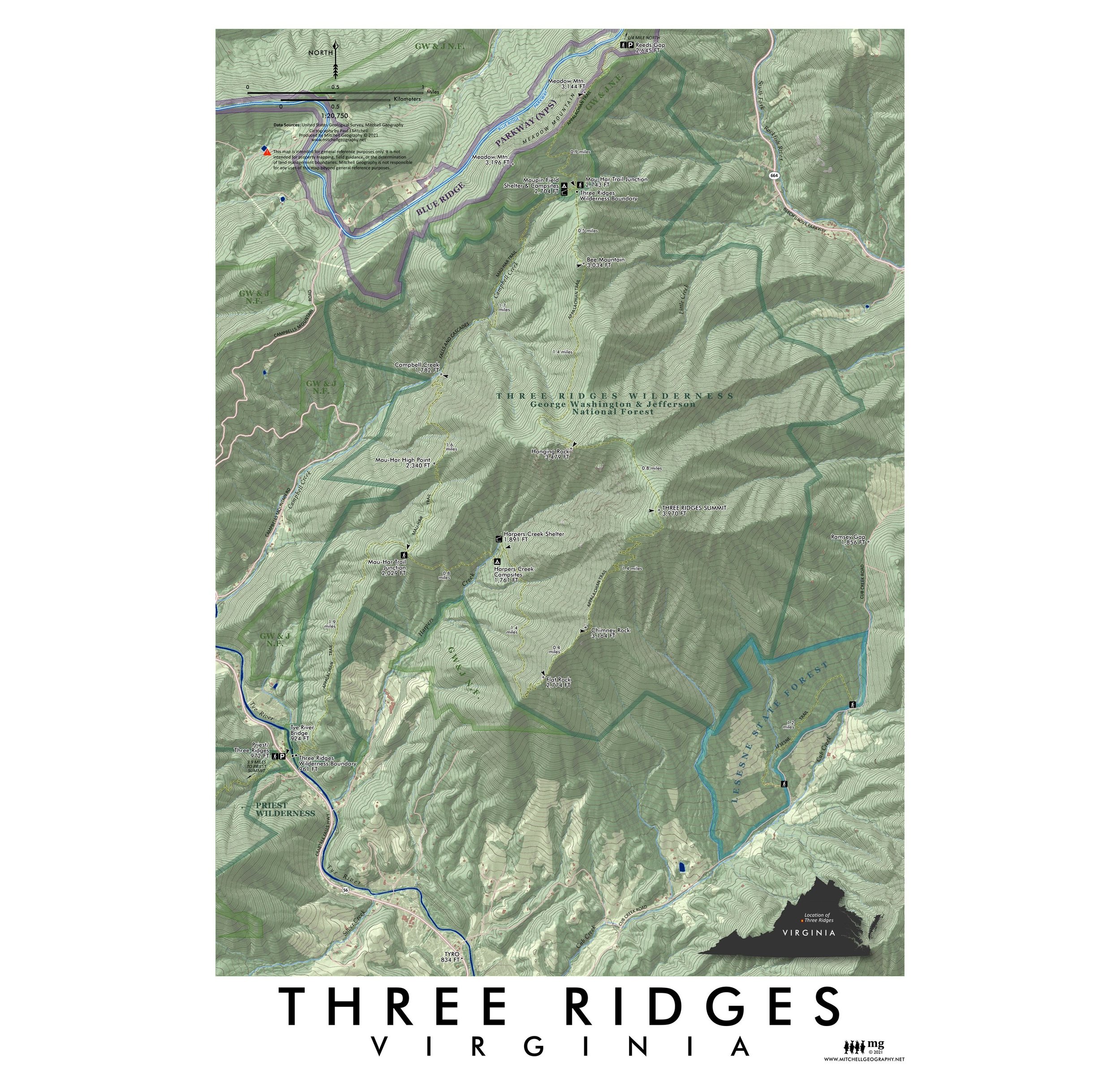
Virginia Ecological Regions map. A re-symbolization of the EPA's Level IV ecoregions for the landscapes of Virginia. Includes inset Virginia Level III reference map for context, and an additional inset map of the USFS and NPS lands in Virginia. Level IV classes are symbolized and listed individually in the key for the feature map. Detailed reference labels include cities/towns/places, prominent summits, coastal islands and features, state parks, state forests, highways/major roads, prominent lakes, large landforms of significance, National Wildlife Refuges, and the Appalachian Trail.
1:1,150,000
28 inch x 18 inch — flat wall map, printed on a heavy fine paper — shipped rolled.
Virginia Ecological Regions map. A re-symbolization of the EPA's Level IV ecoregions for the landscapes of Virginia. Includes inset Virginia Level III reference map for context, and an additional inset map of the USFS and NPS lands in Virginia. Level IV classes are symbolized and listed individually in the key for the feature map. Detailed reference labels include cities/towns/places, prominent summits, coastal islands and features, state parks, state forests, highways/major roads, prominent lakes, large landforms of significance, National Wildlife Refuges, and the Appalachian Trail.

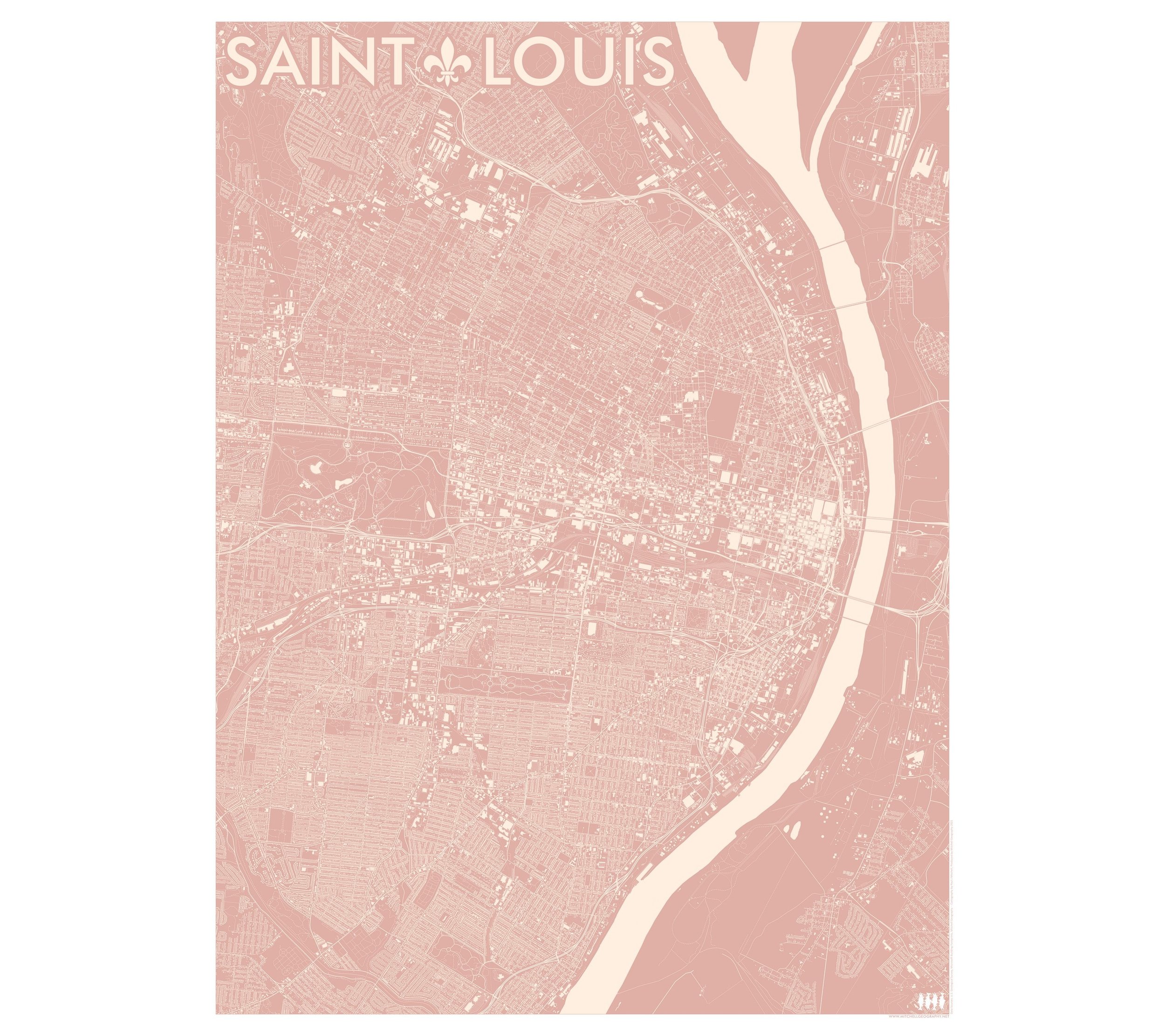
 Image 1 of 9
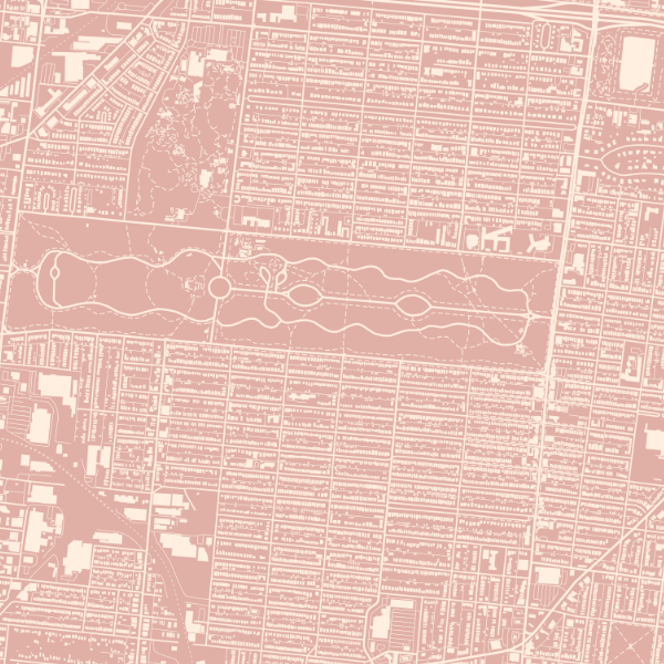
 Image 2 of 9
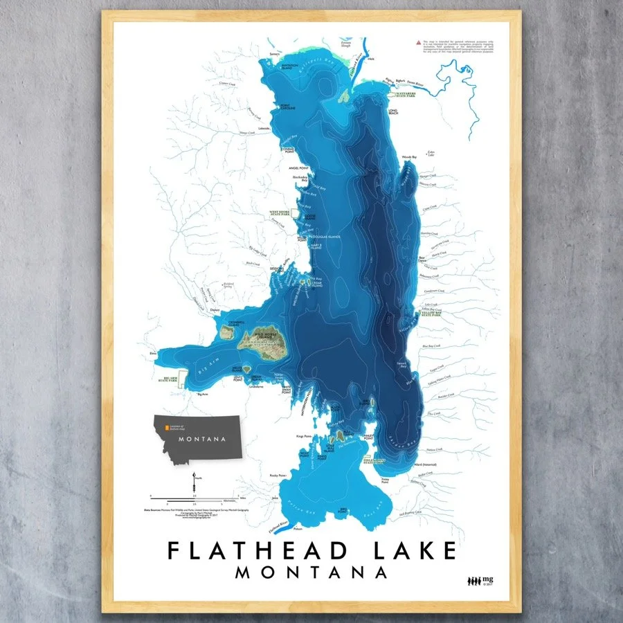
 Image 3 of 9
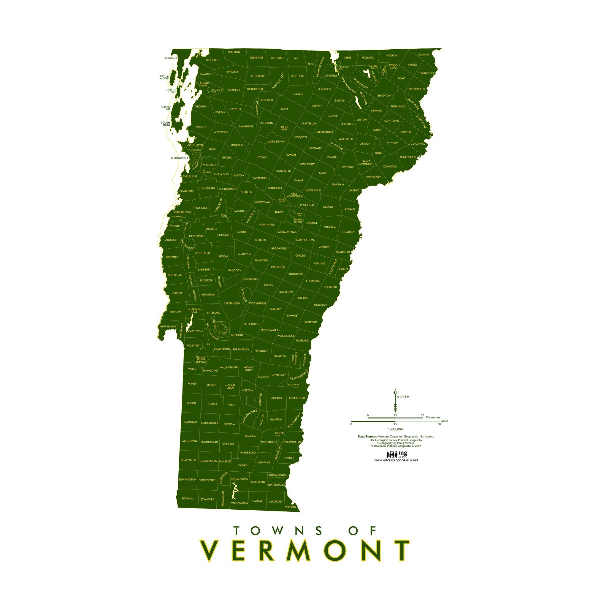
 Image 4 of 9
 Image 5 of 9
 Image 6 of 9
 Image 7 of 9
 Image 8 of 9
 Image 9 of 9