 Image 1 of 3
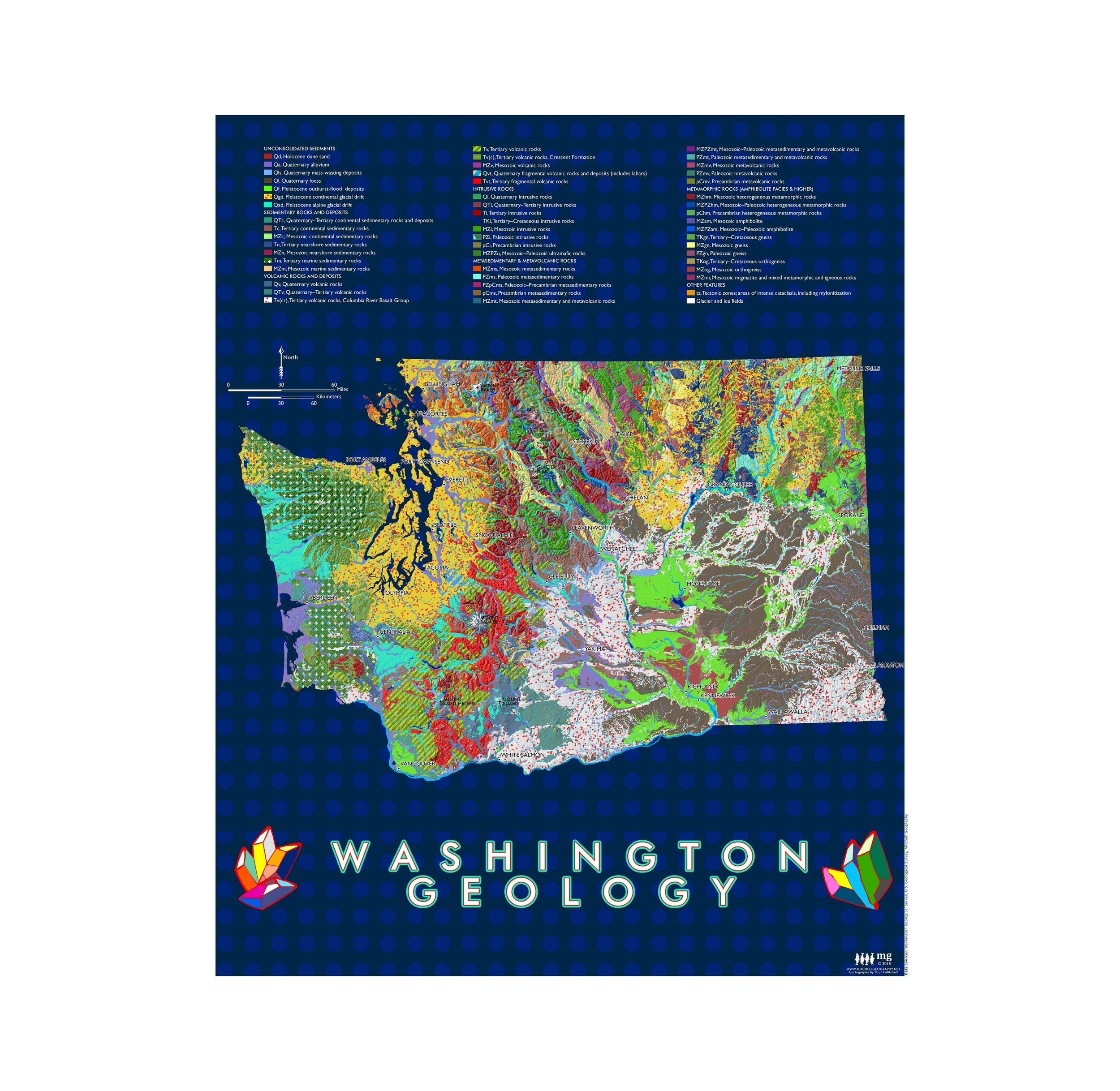 Image 2 of 3
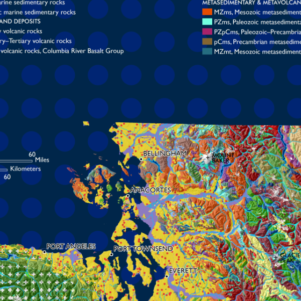 Image 3 of 3
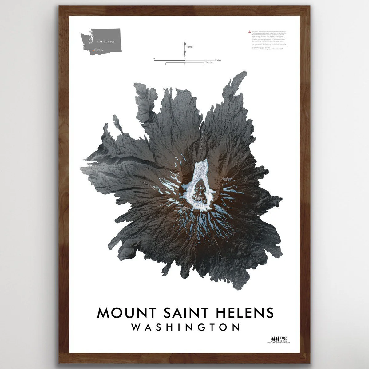
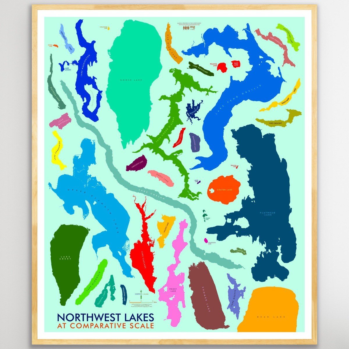
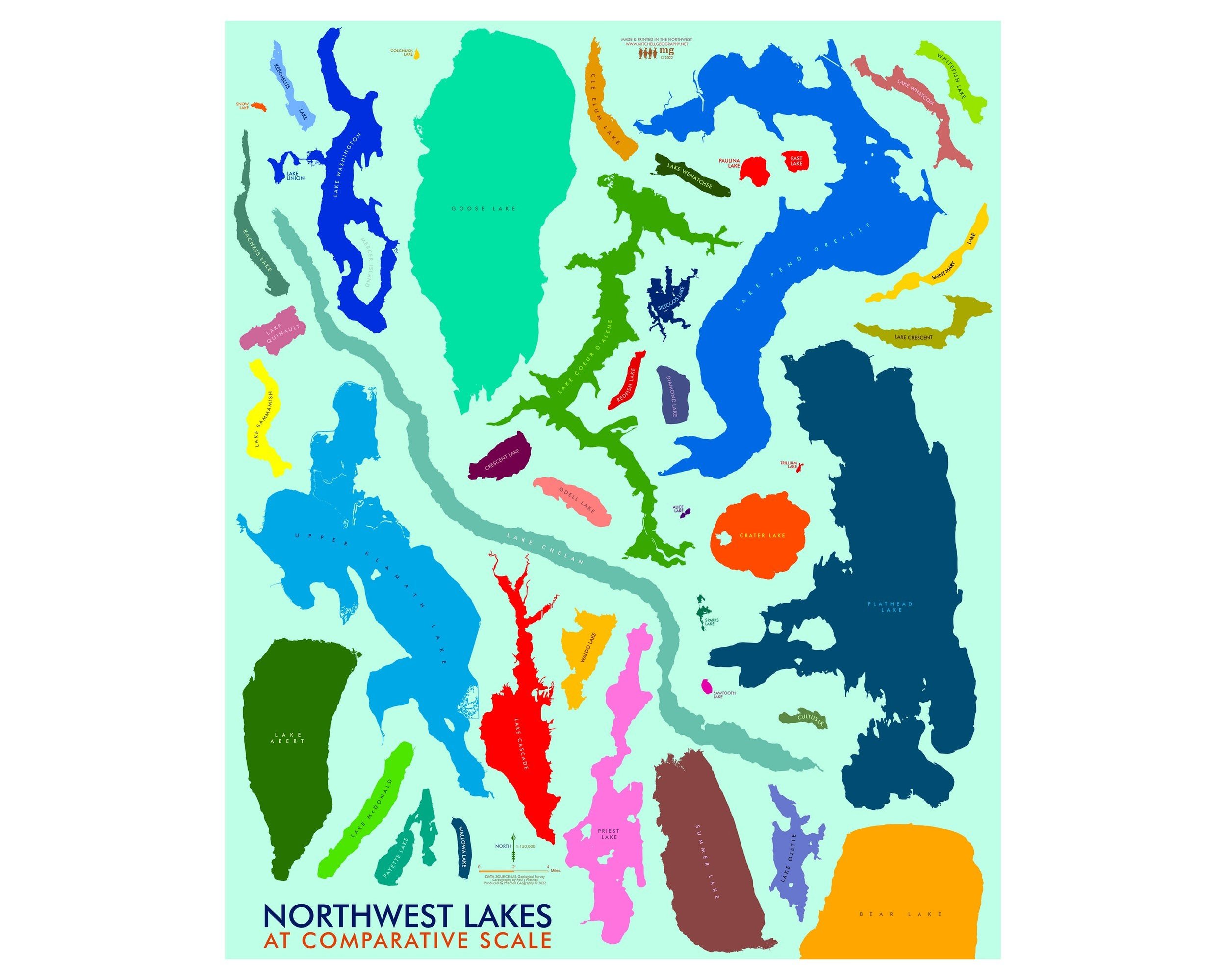
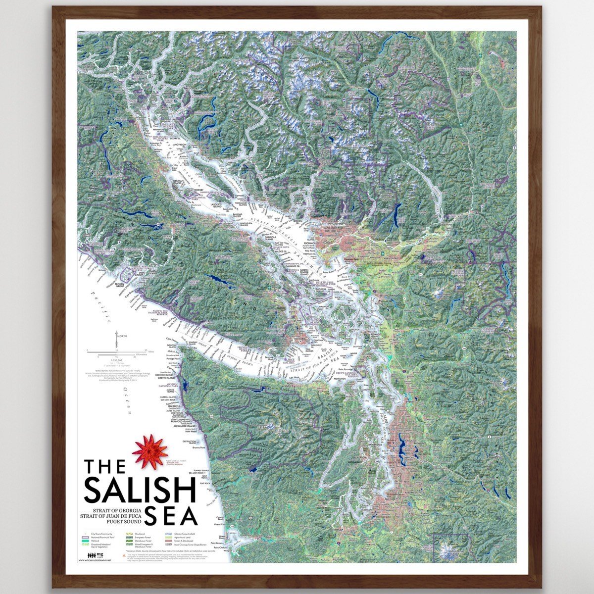
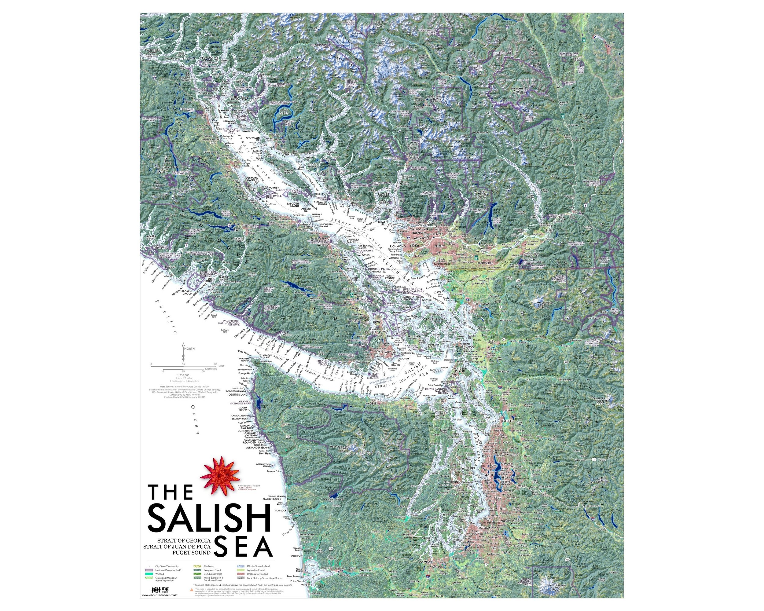
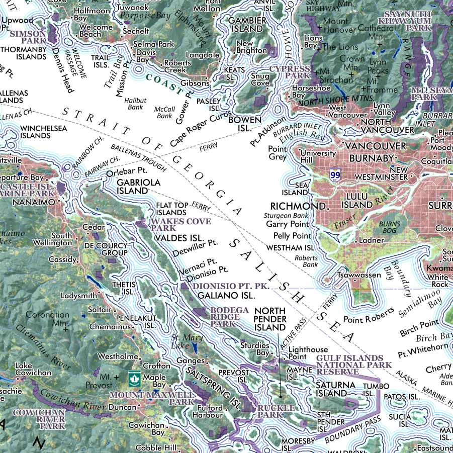
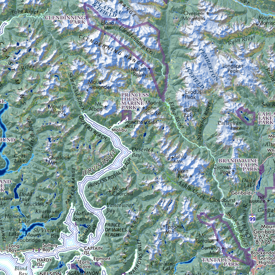
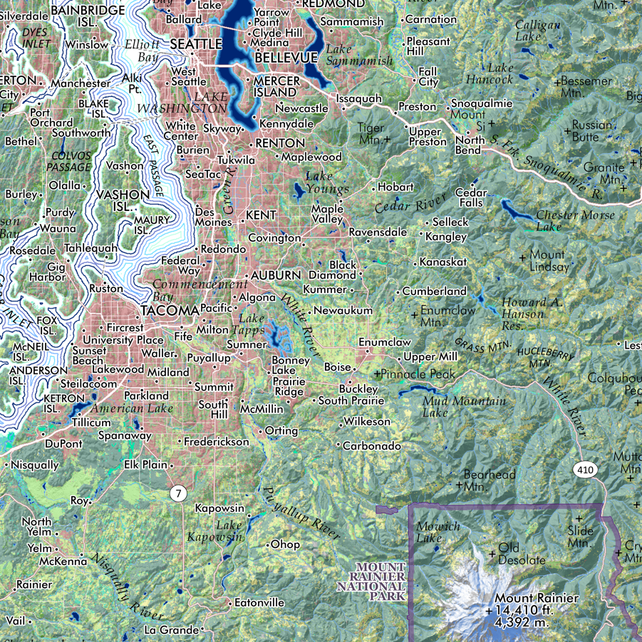
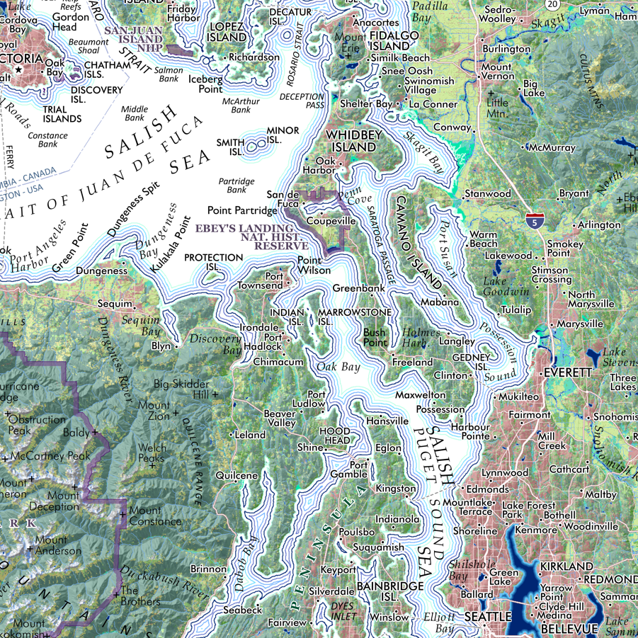
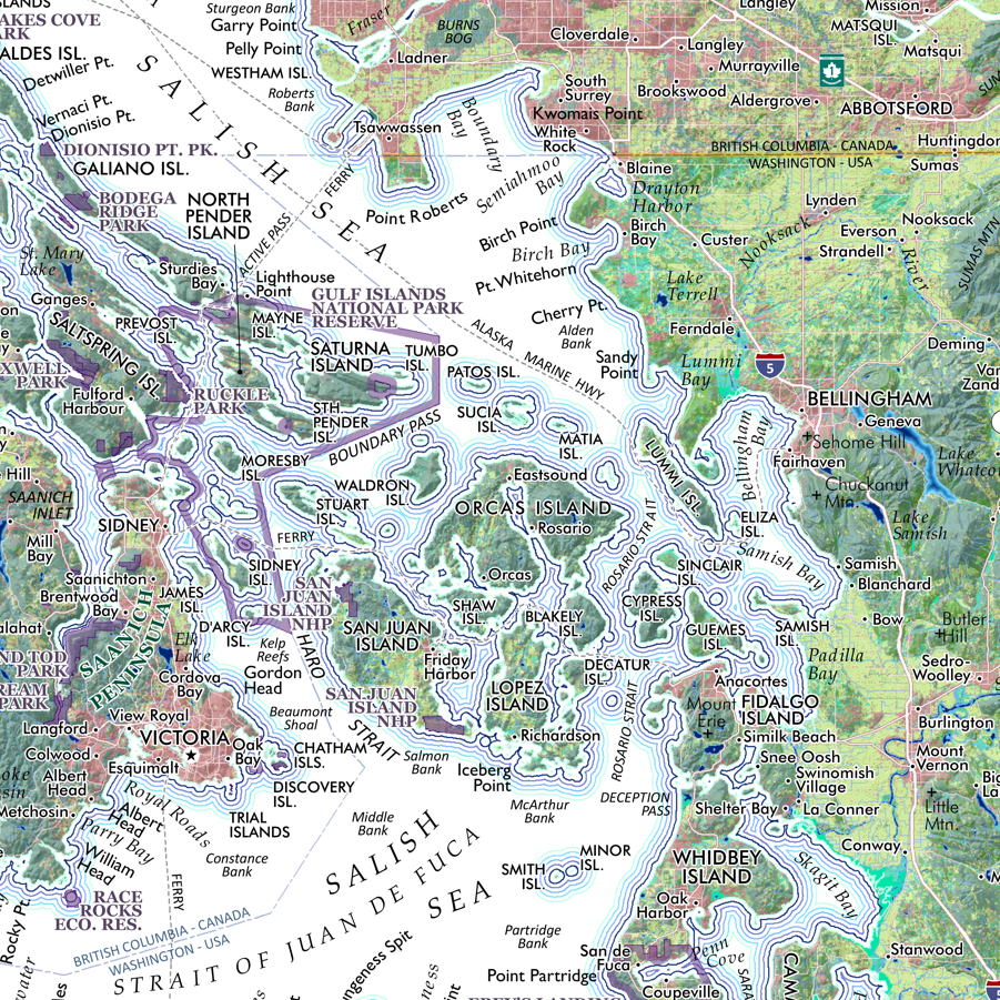
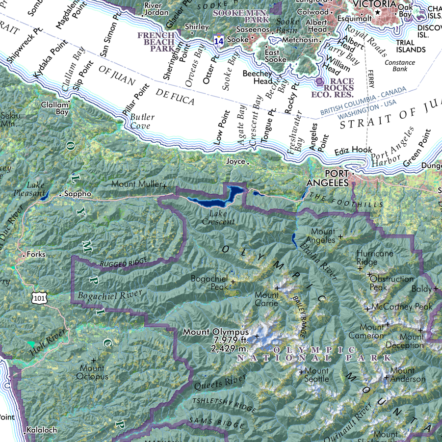
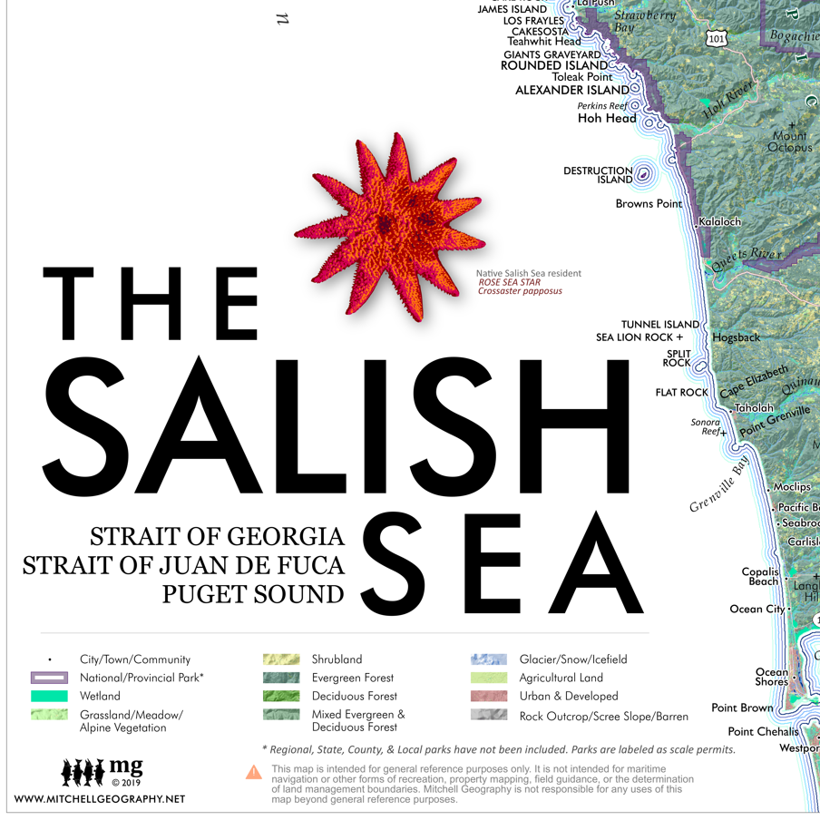
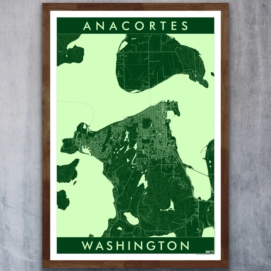
13 inch by 19 inch flat wall map, printed on heavy fine paper. Packed and shipped flat.
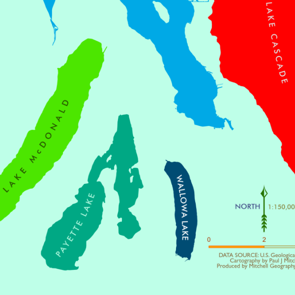
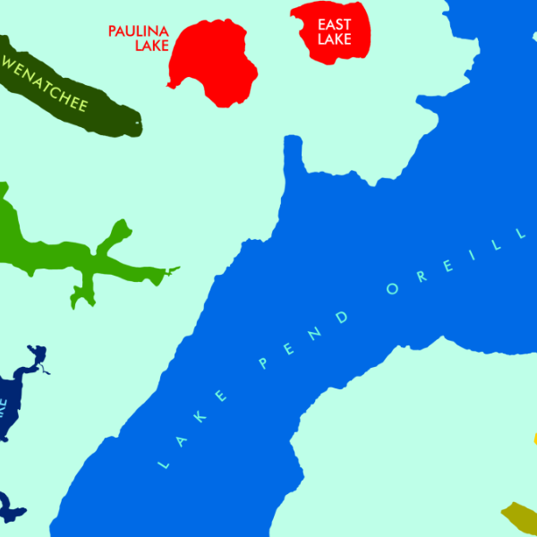
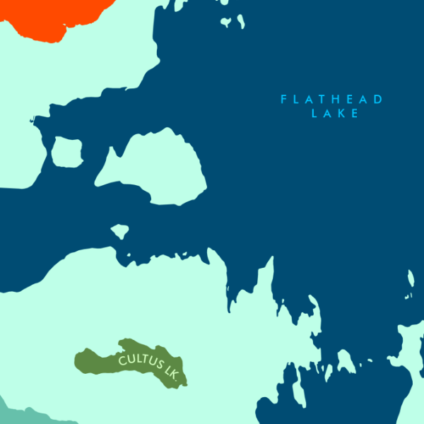
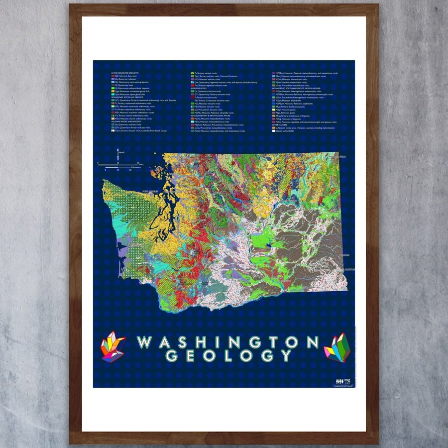
Washington State Geology. A colorful re-symbolization of Washington's surficial geology classes. This map makes use of the 1:500,000 scale surficial geology dataset produced by the Washington Geological Survey. Identify the extent of loess and basalt in the Columbia Basin, glacial drift in the Puget Sound, and the volcanic and intrusive lithologies of Washington's many mountain ranges.
13 inch by 19 inch flat wall map, printed on heavy fine paper. Packed and shipped flat.
Washington State Geology. A colorful re-symbolization of Washington's surficial geology classes. This map makes use of the 1:500,000 scale surficial geology dataset produced by the Washington Geological Survey. Identify the extent of loess and basalt in the Columbia Basin, glacial drift in the Puget Sound, and the volcanic and intrusive lithologies of Washington's many mountain ranges.