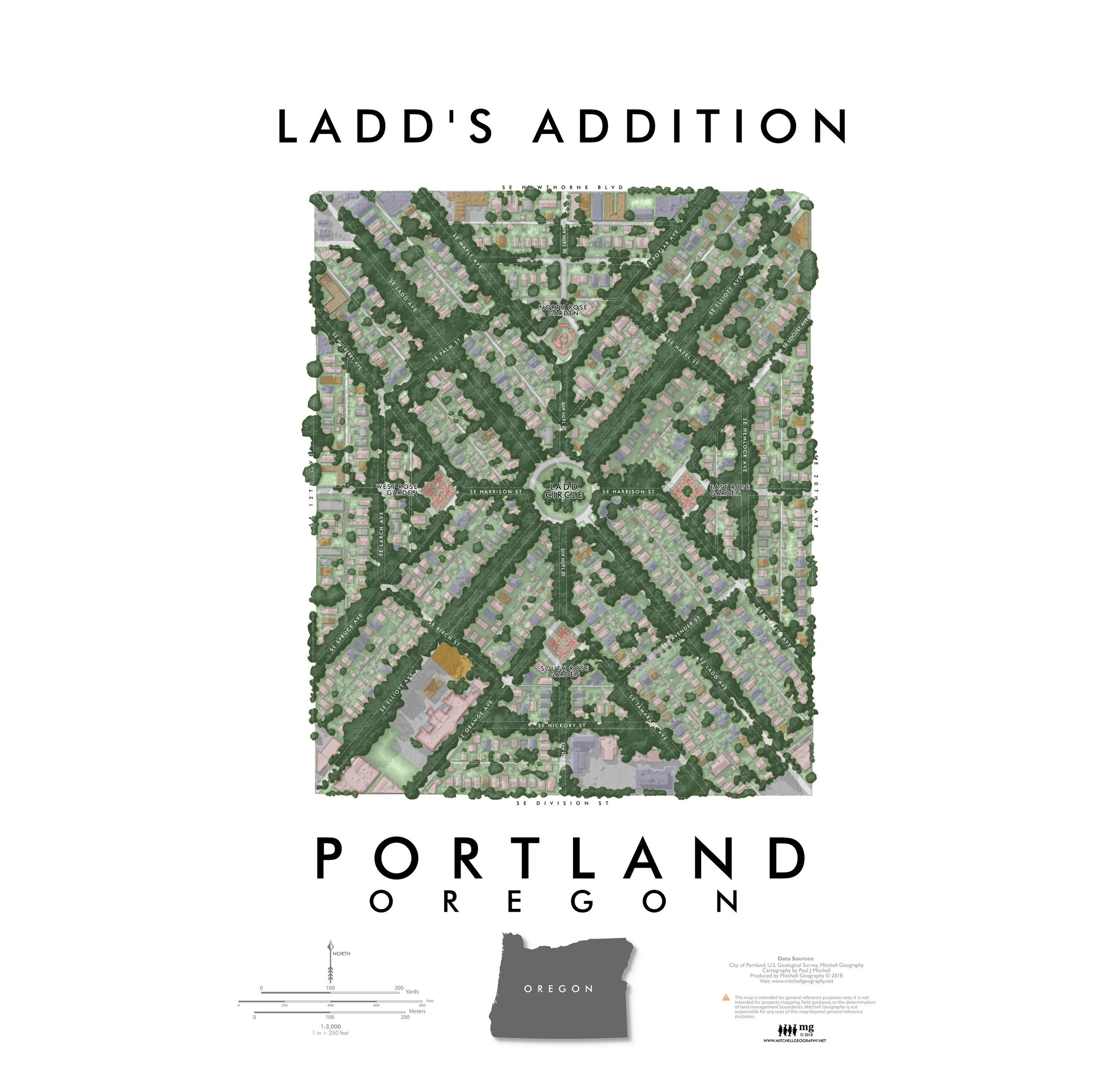
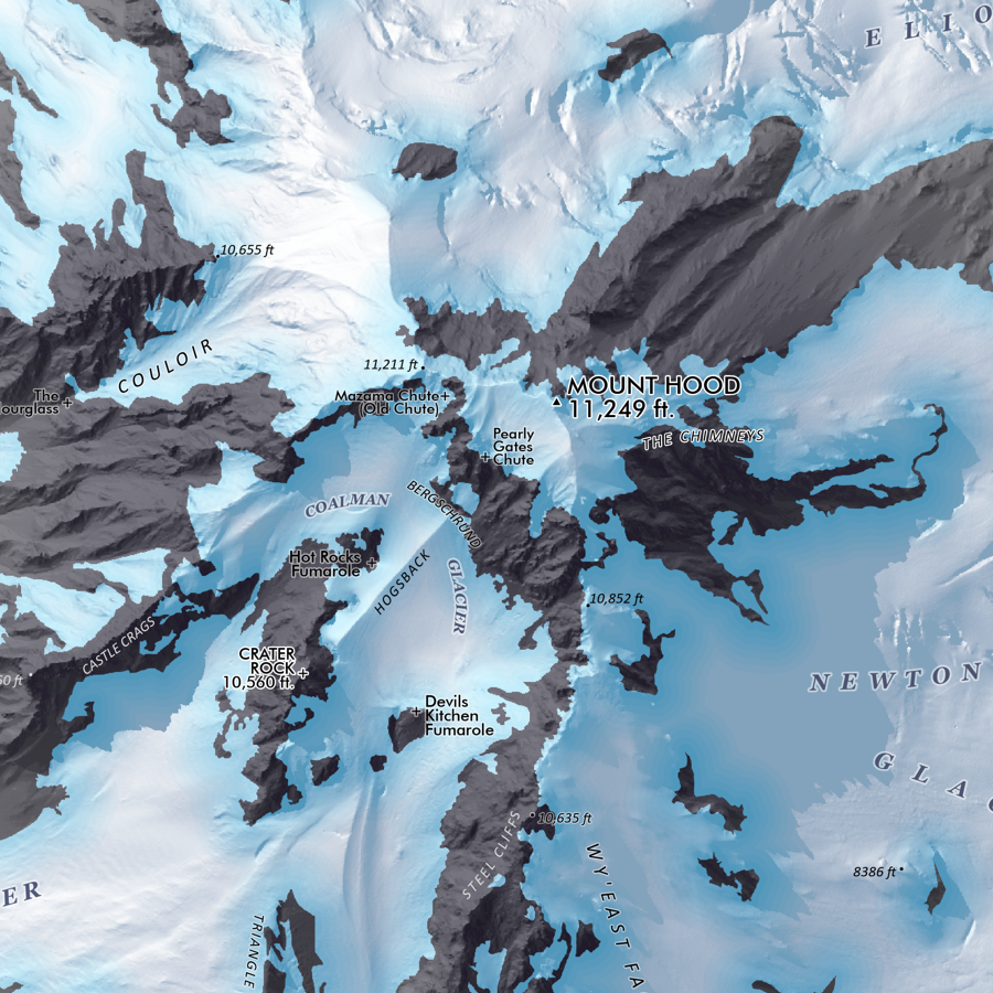
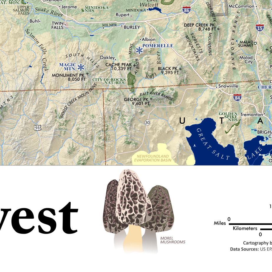
Image 1 of 3
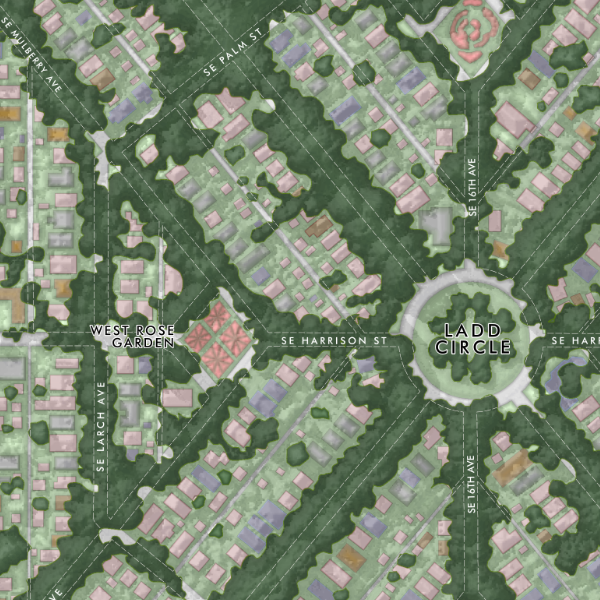
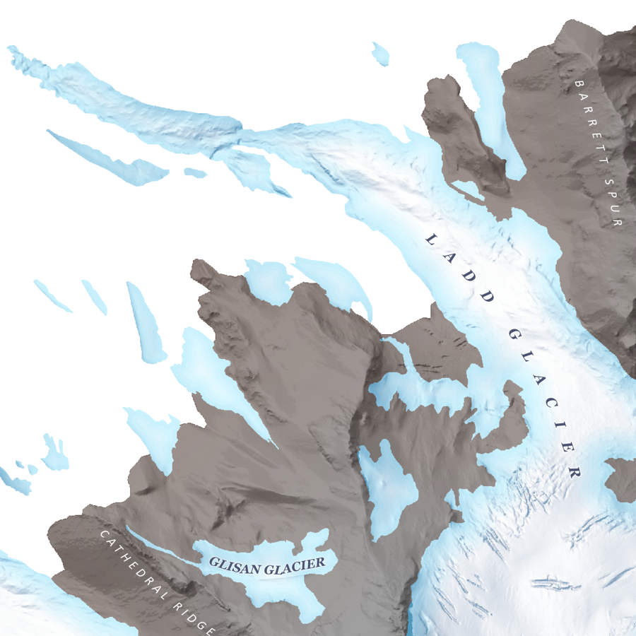
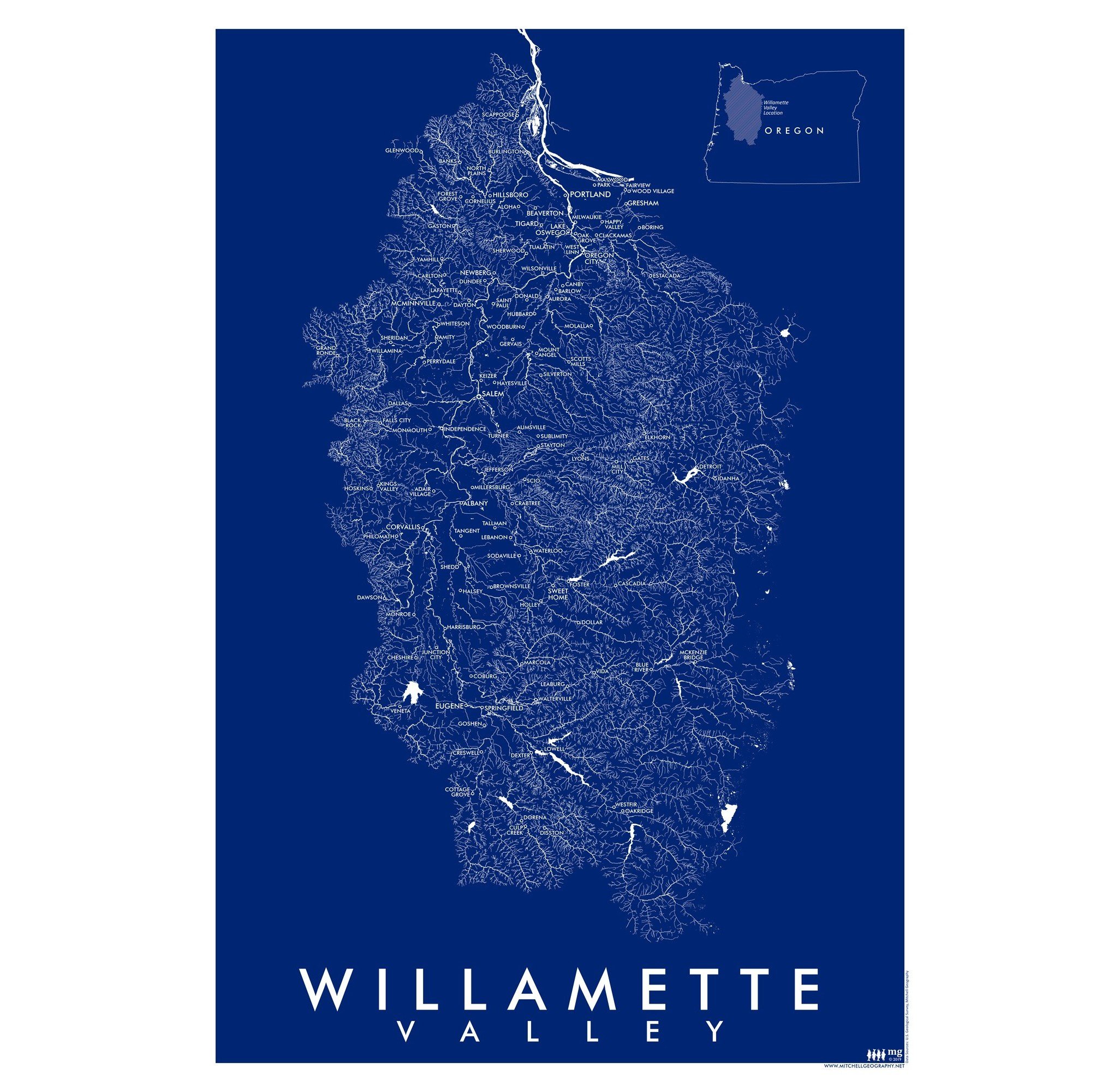 Image 2 of 3
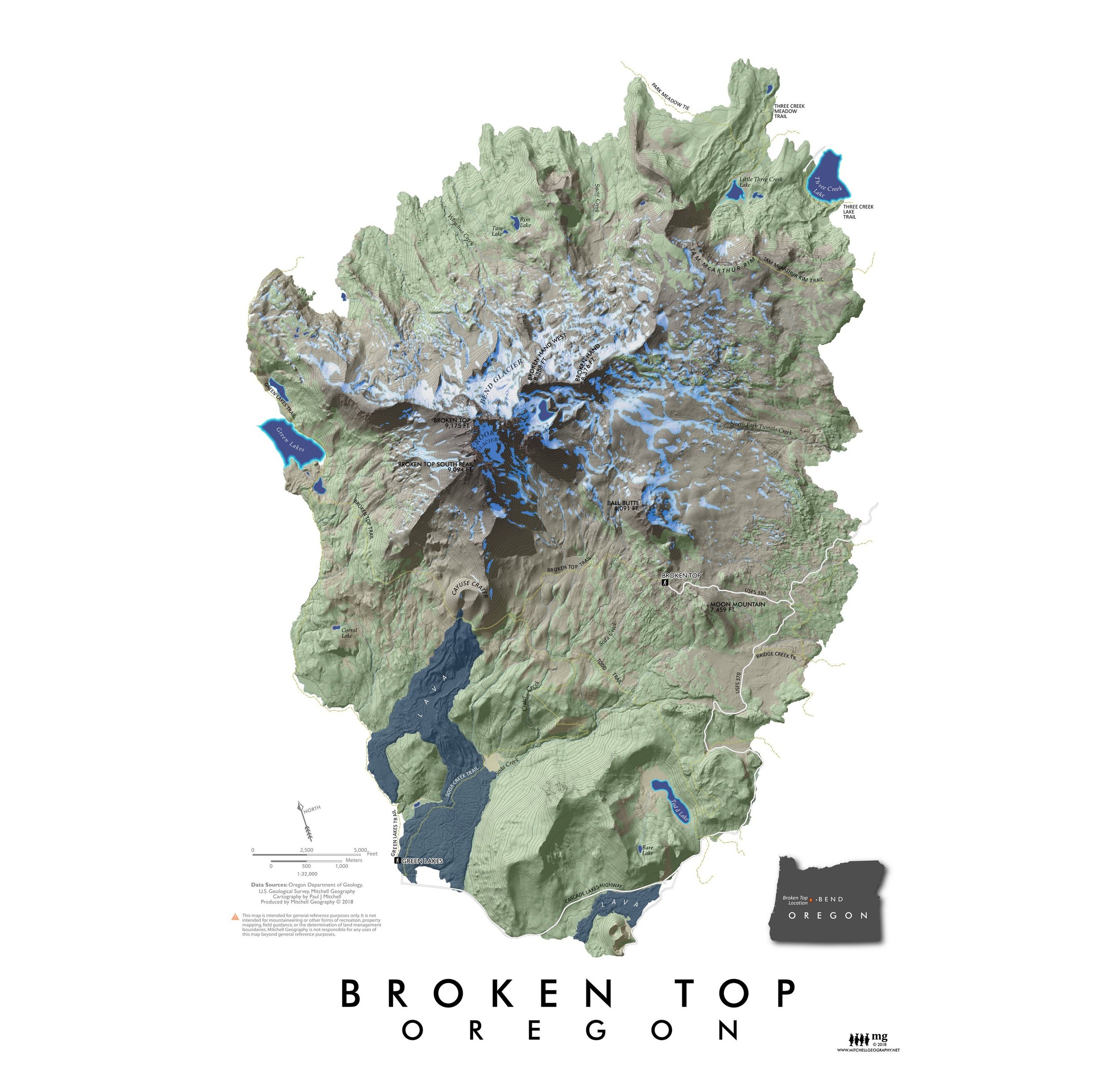
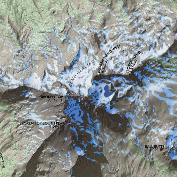
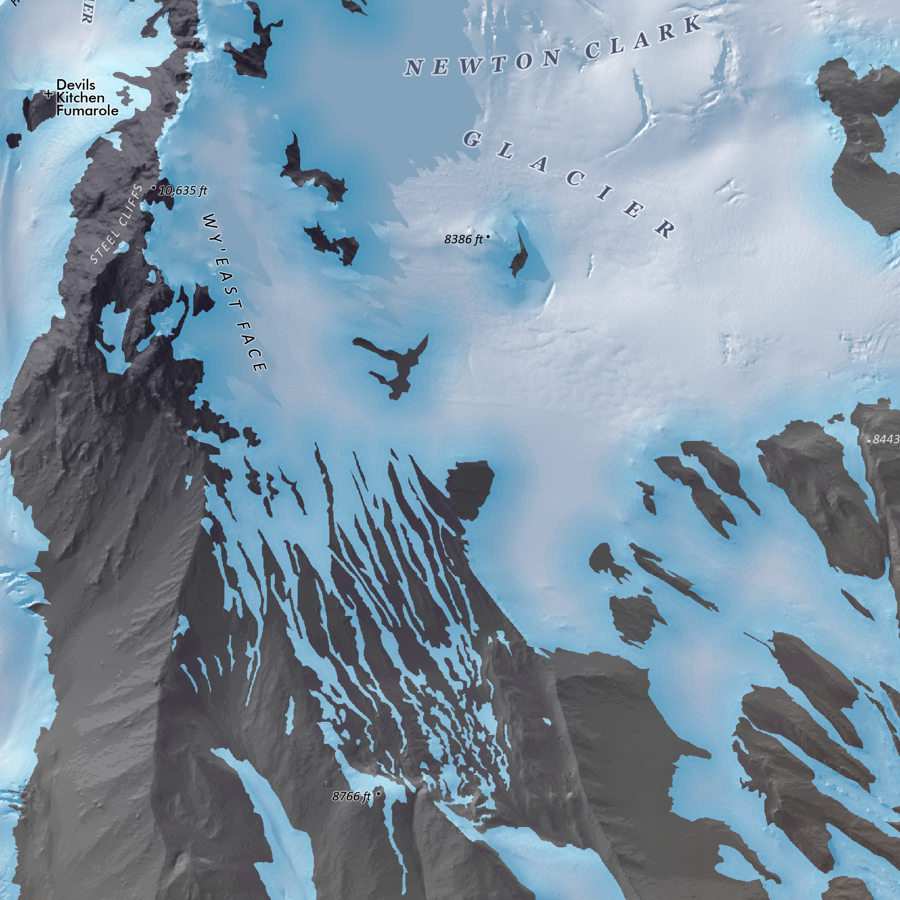
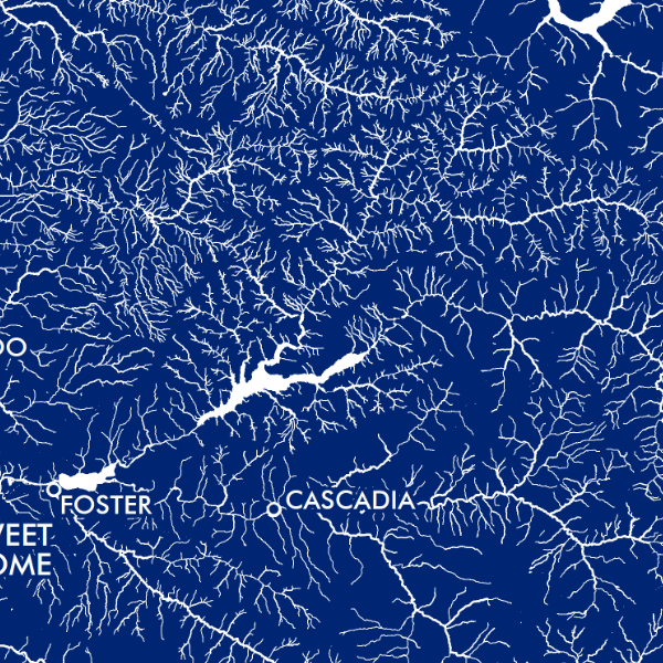 Image 3 of 3
13 inch by 19 inch flat wall map, printed on heavy fine paper. Shipped rolled or flat, order volume dependent.
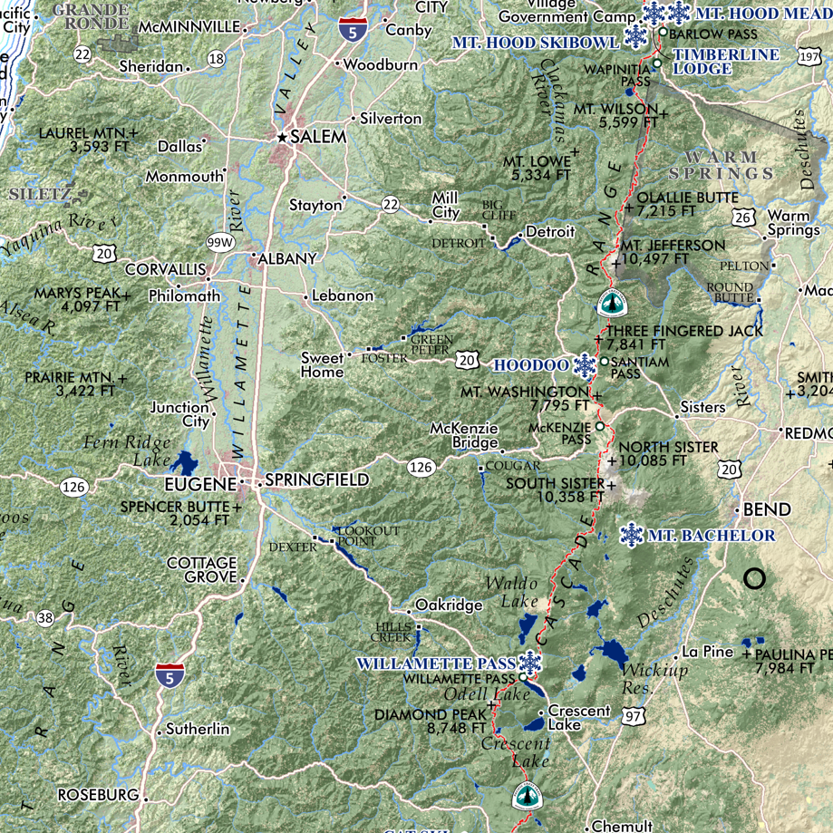
Willamette Valley, Oregon. A graphic art map style print of the Willamette River watershed’s surface hydrology. Place names are labeled for reference.
13 inch by 19 inch flat wall map, printed on heavy fine paper. Shipped rolled or flat, order volume dependent.
Willamette Valley, Oregon. A graphic art map style print of the Willamette River watershed’s surface hydrology. Place names are labeled for reference.