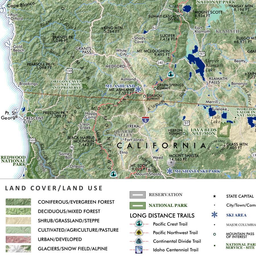
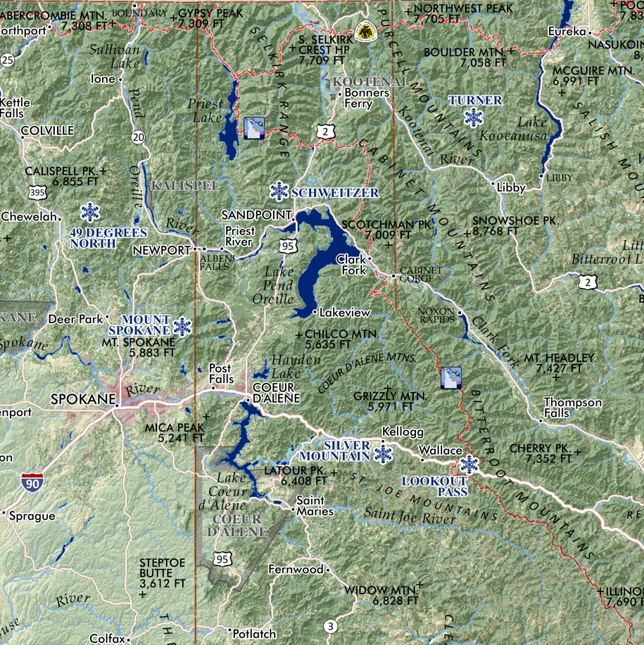
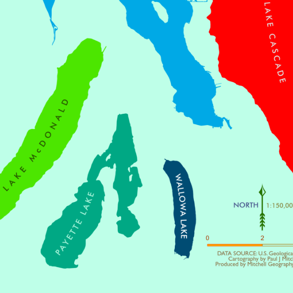
Image 1 of 4
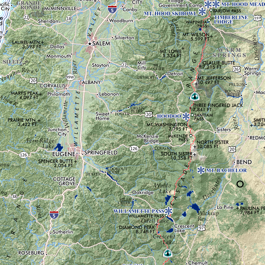
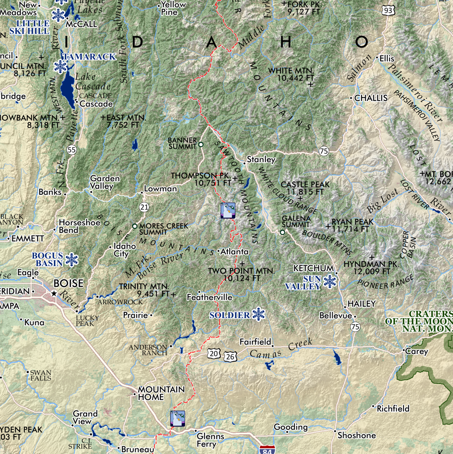
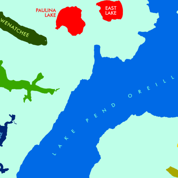
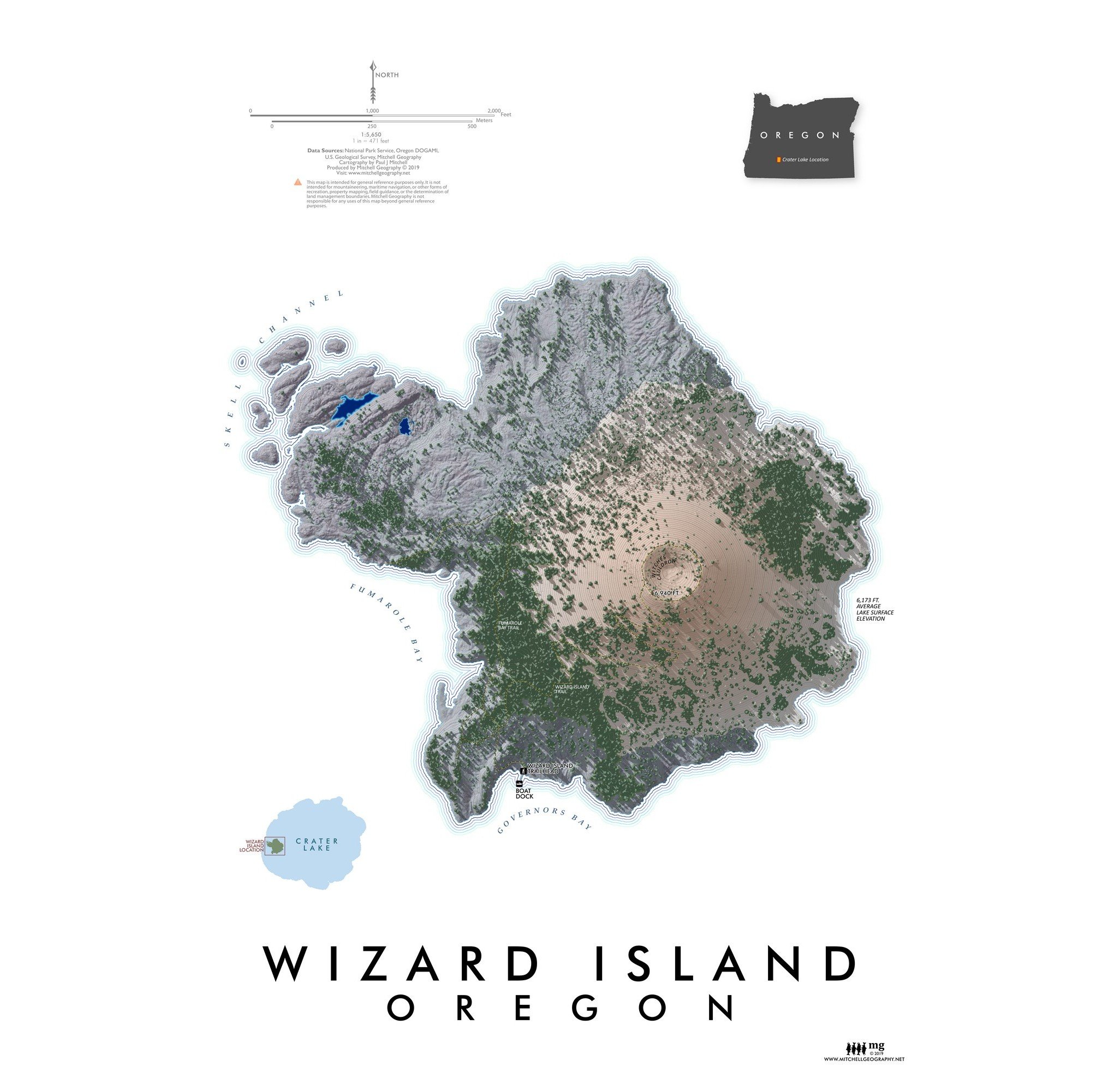 Image 2 of 4
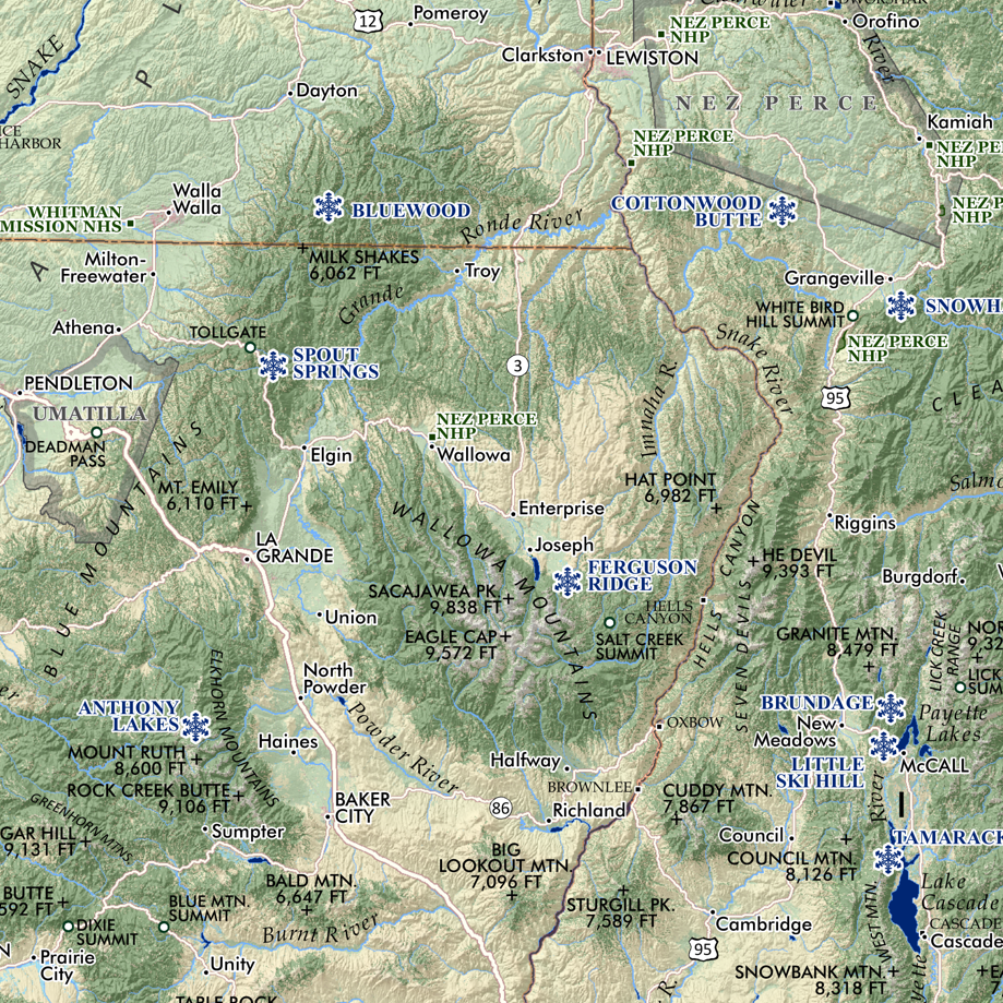
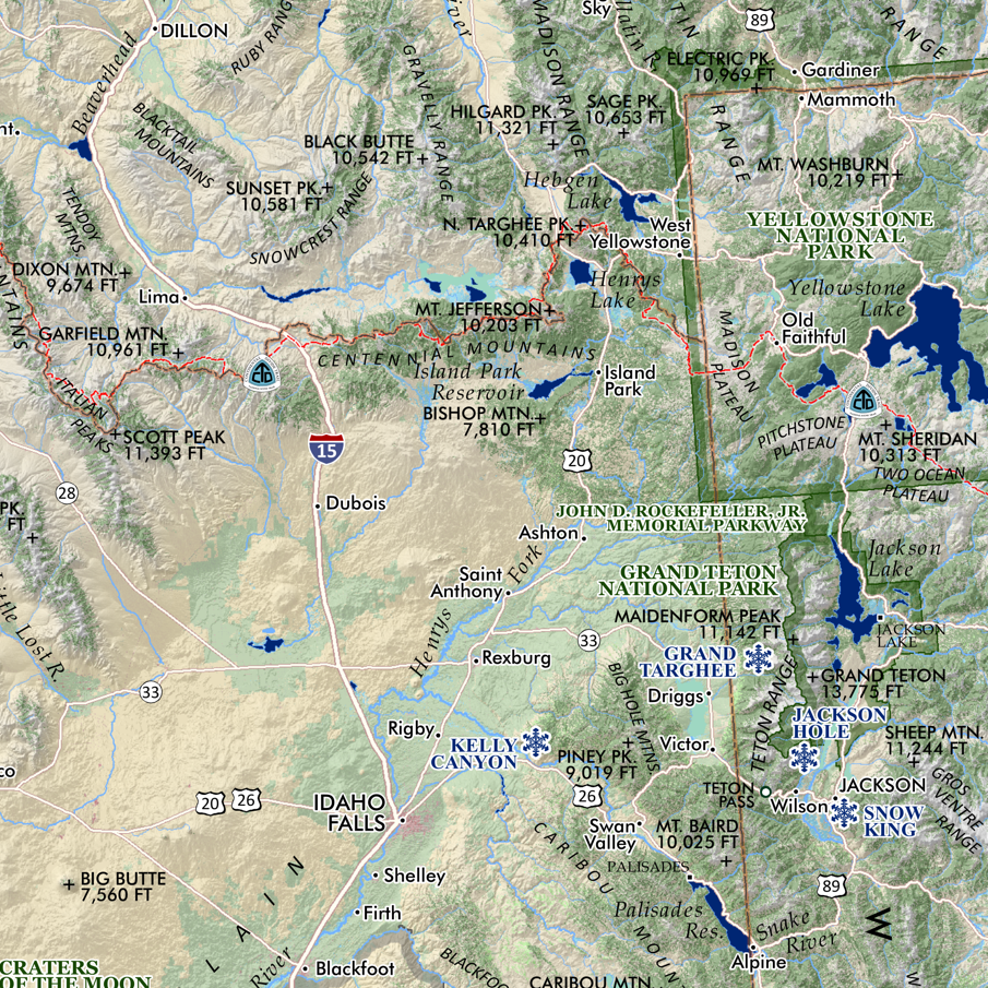
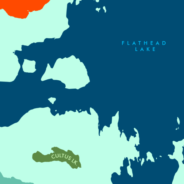
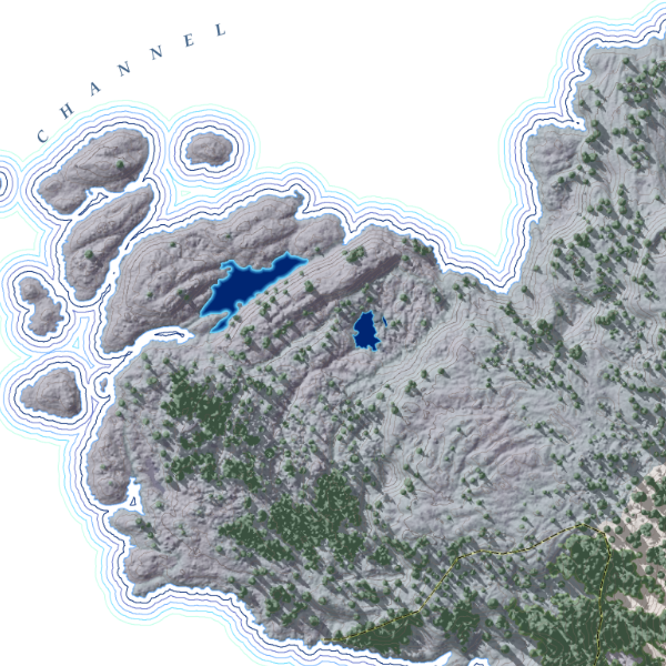 Image 3 of 4
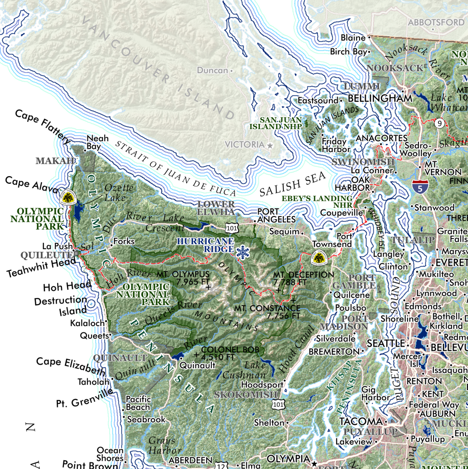
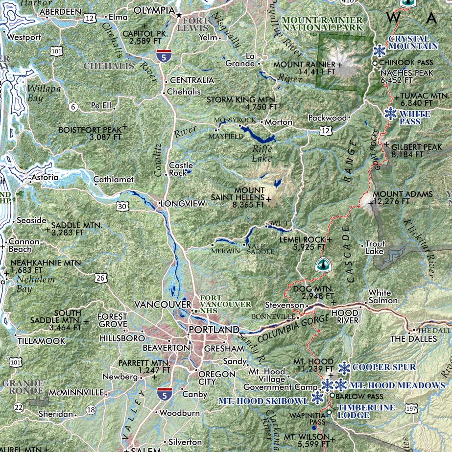
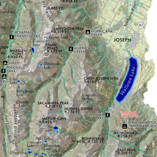
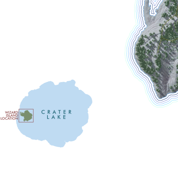 Image 4 of 4
1:5,650
13 inch by 19 inch flat wall map, printed on heavy fine paper. Packed and shipped flat.
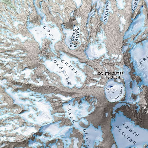
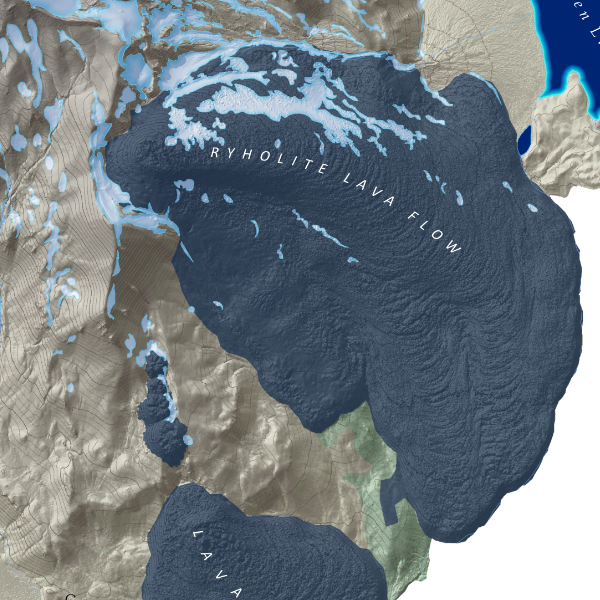
Wizard Island, Crater Lake, Oregon. A fun feature map of Wizard Island, the uniquely sited cinder cone island within Crater Lake of the Mount Mazama caldera… with detail down to the individual tree! Boat dock, trailhead location, and the tracks for the Island’s main trail and Fumarole Bay trail. Bays and elevation features labeled for reference.
1:5,650
13 inch by 19 inch flat wall map, printed on heavy fine paper. Packed and shipped flat.
Wizard Island, Crater Lake, Oregon. A fun feature map of Wizard Island, the uniquely sited cinder cone island within Crater Lake of the Mount Mazama caldera… with detail down to the individual tree! Boat dock, trailhead location, and the tracks for the Island’s main trail and Fumarole Bay trail. Bays and elevation features labeled for reference.