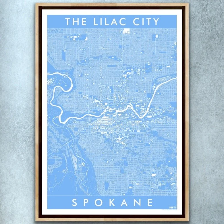
Image 1 of 3
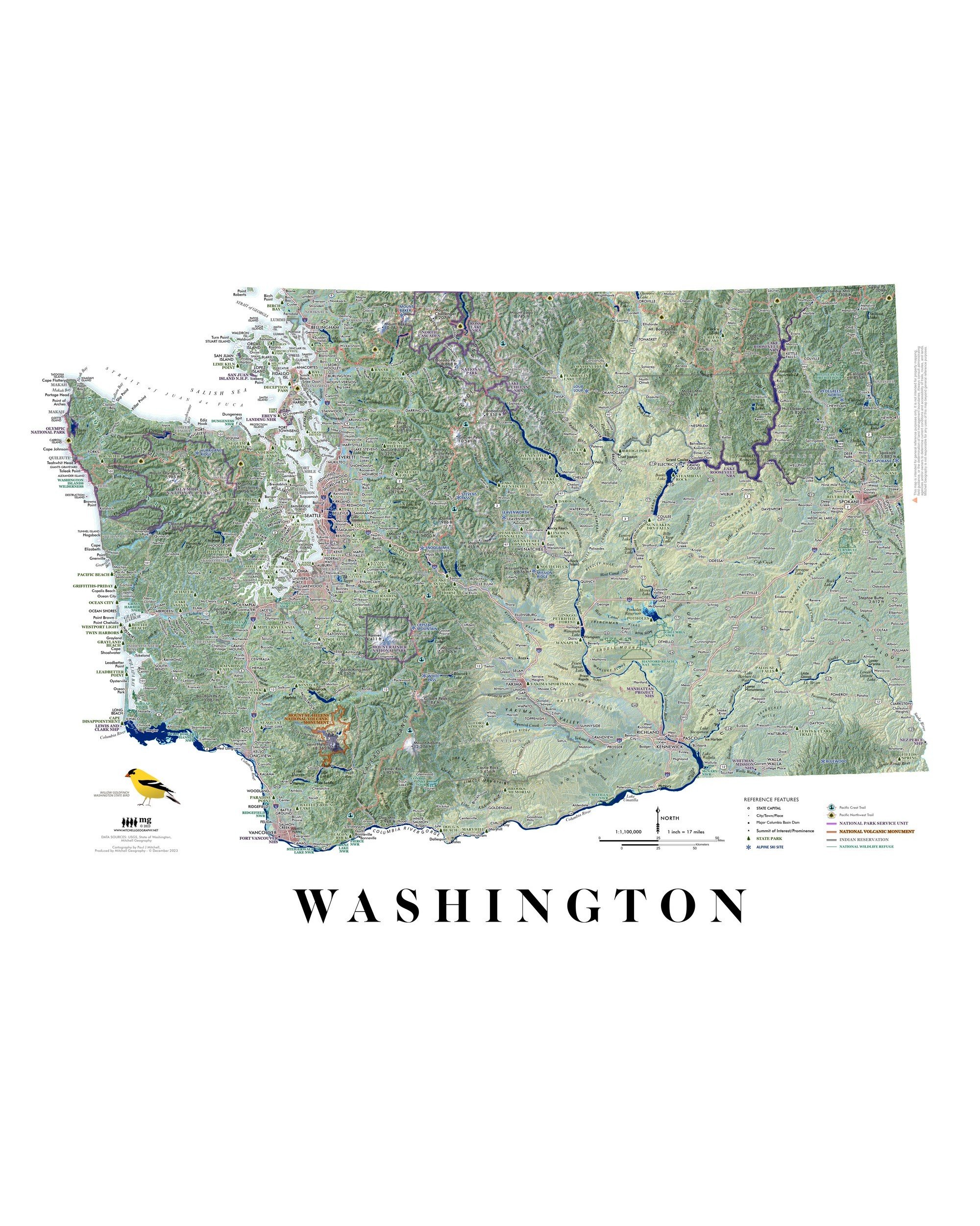
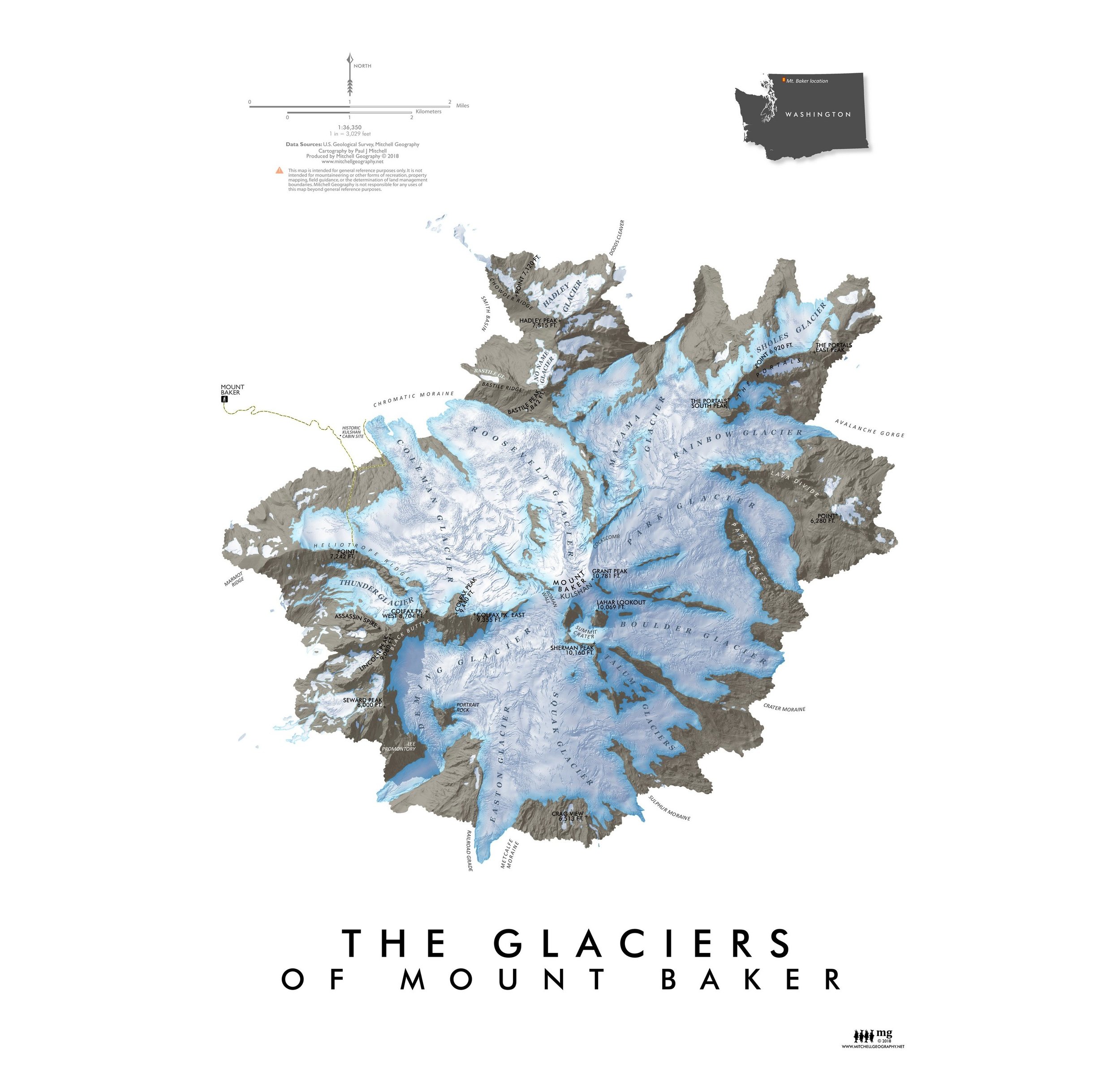 Image 2 of 3
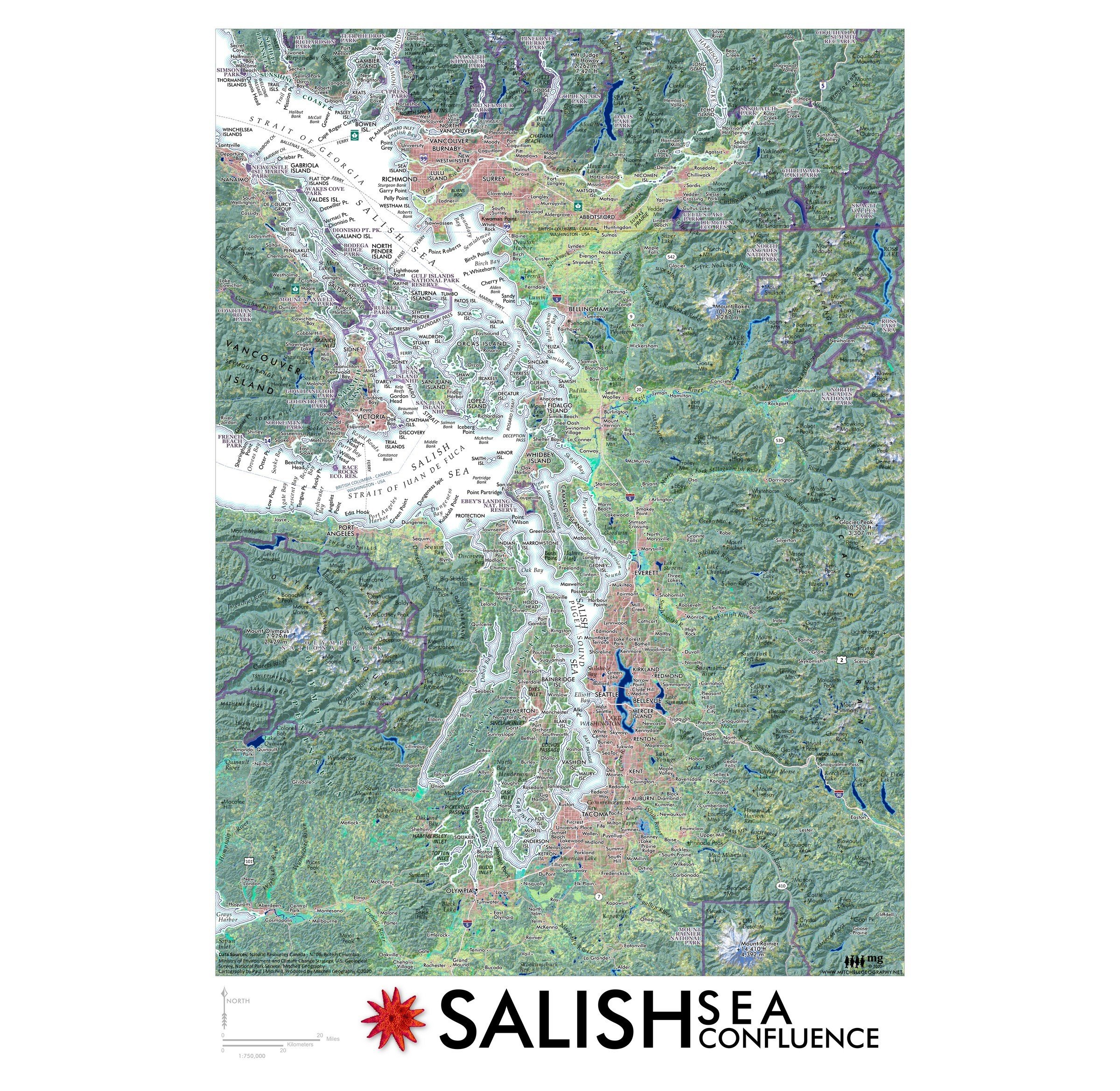
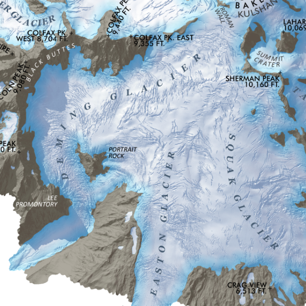 Image 3 of 3
13 inch by 19 inch flat wall map, printed on heavy fine paper. Shipped rolled or flat, order volume dependent.
Mount Baker, Washington. Feature map of Mount Baker/Kulshan's massive glaciers and alpine landforms. Making use of a 3 foot resolution Lidar derived terrain model, this map displays in rich detail a recent snapshot in time of Baker's glacial extent, icefall, endless crevasses and bergschrunds. Ridges, moraines, and sub-peaks are also labeled for reference.
A larger 24 x 20 inch Mount Baker Glaciers map is also available.