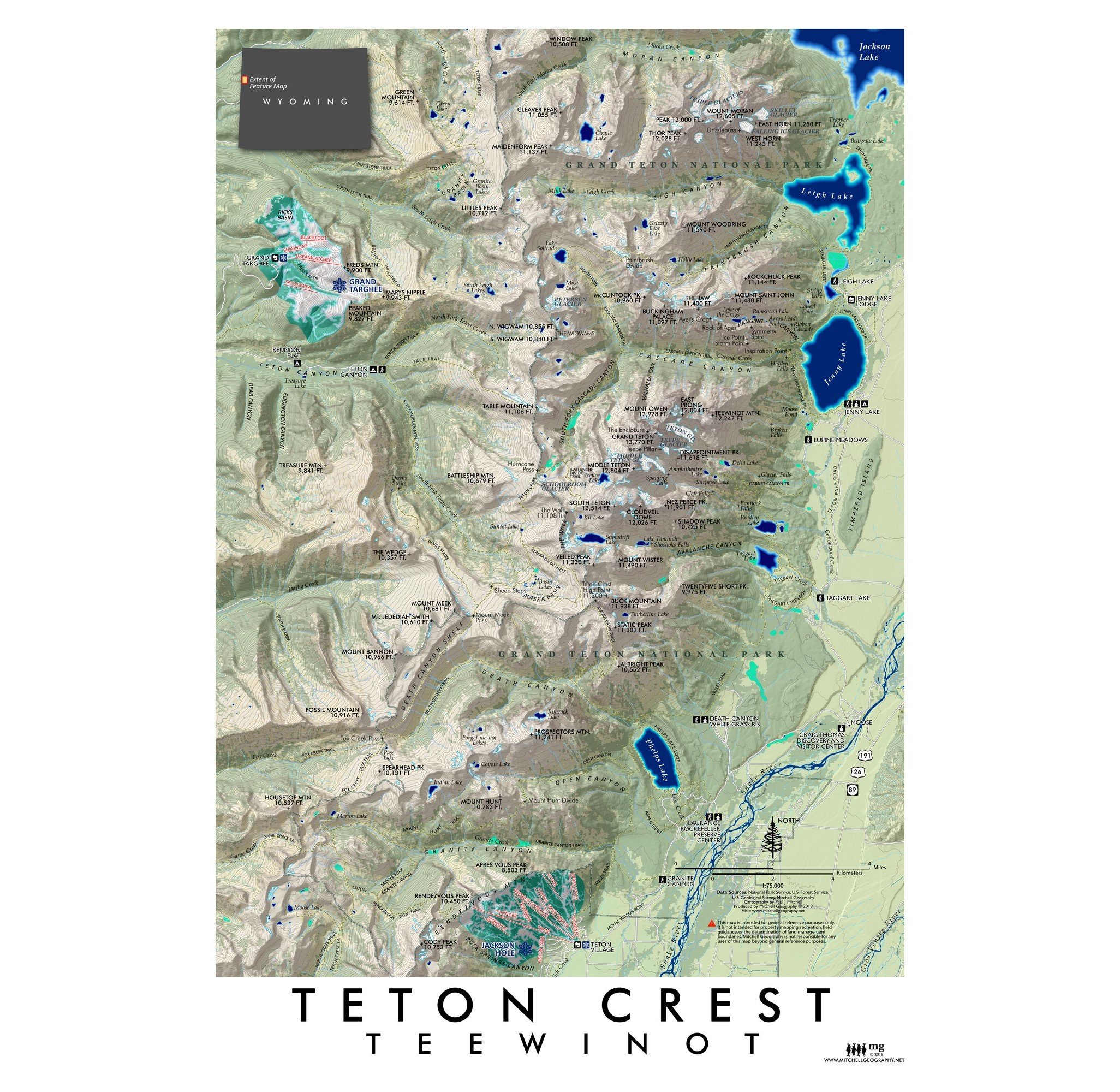


Cathedral Group - Grand Teton
$35.00
1:22,000
13 inch by 19 inch flat wall map, printed on heavy fine paper. Shipped rolled or flat, order volume dependent.
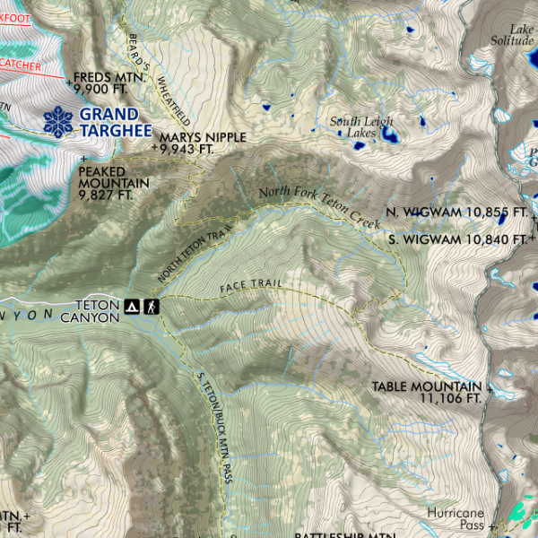
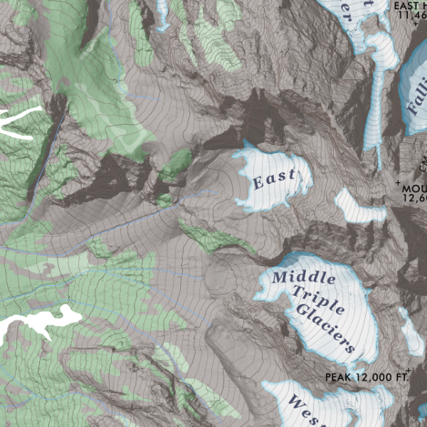
Cathedral Group, Teton Range, Wyoming. A focused take on the high peaks subrange of the Tetons centered around the Grand, using the U.S. Geological Survey's 1-meter Lidar terrain model. Map Ranges from Cascade Canyon and Teewinot Mountain in the north to Avalanche Canyon/Snowdrift Lake and Veiled Peak in the south. Map features glaciers/snowfields, lakes, vegetation patches, maintained NPS trails, and feature labels with elevation.
Quantity: