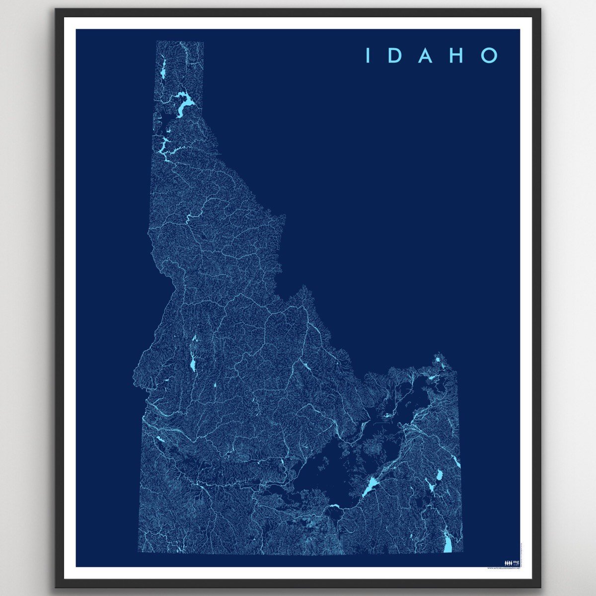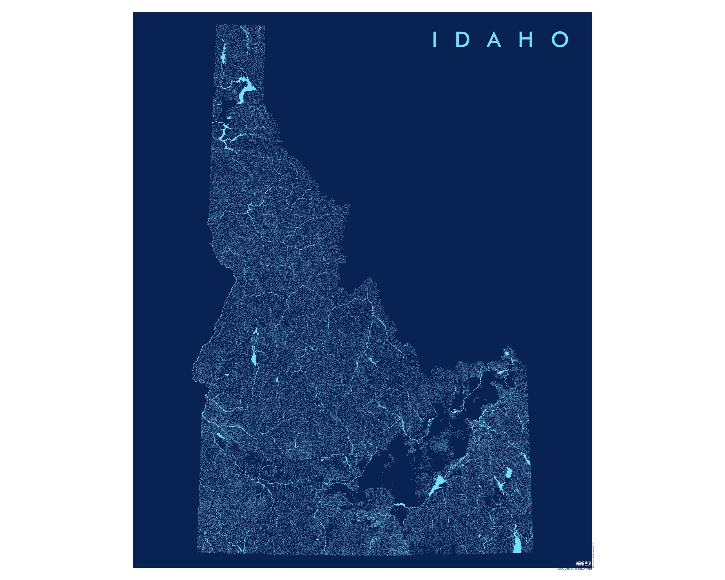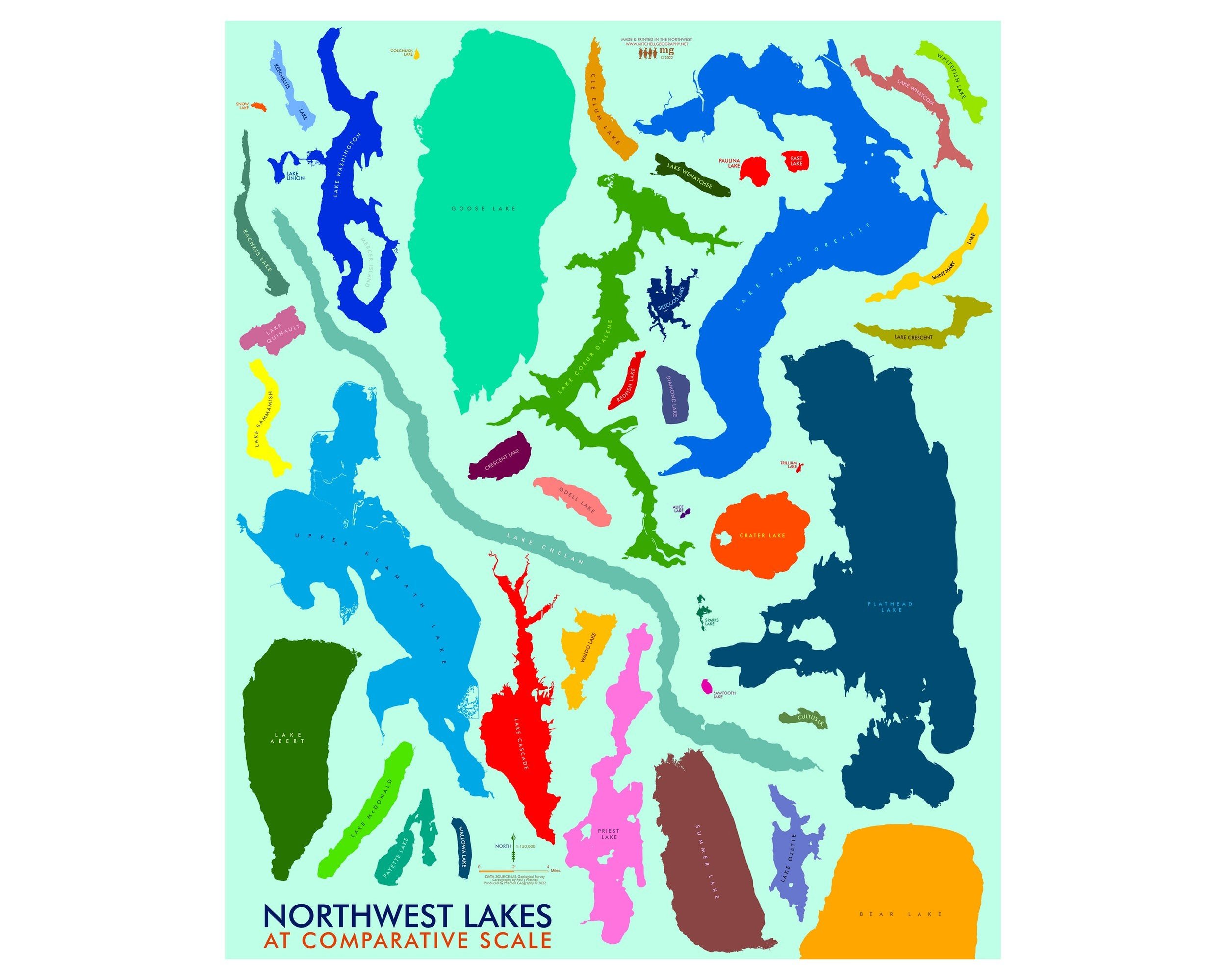
City of Rocks Idaho (19 in x 13 in)
1:30,000
13 inch by 19 inch flat wall map, printed on heavy fine paper. Packed and shipped flat.
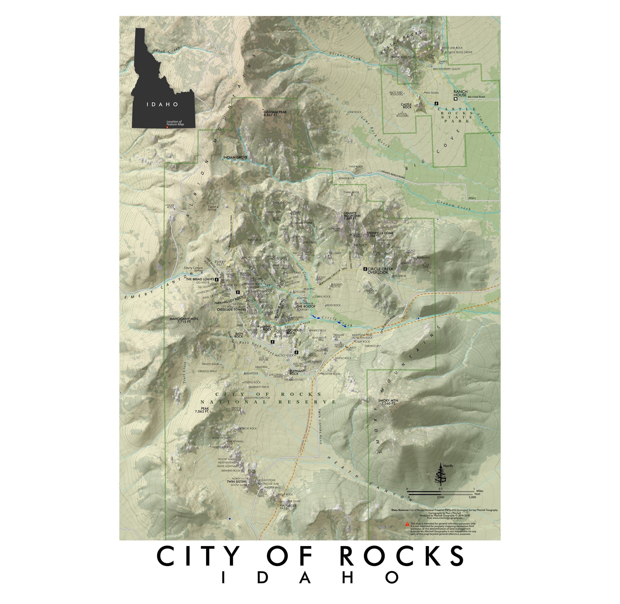
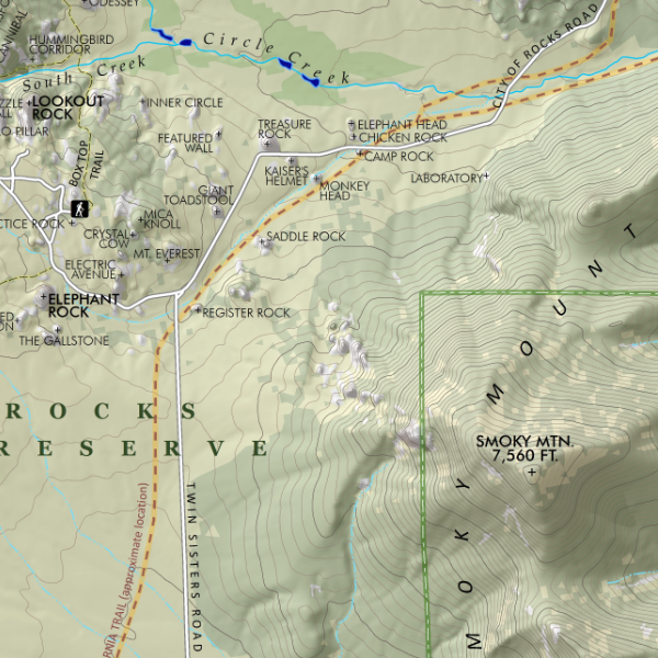
City of Rocks, Idaho. Featuring the exfoliating granite towers and boulders of the City of Rocks National Reserve and Castle Rocks State Park; this map stretches from the Twin Sisters and Pinnacle Pass in the south to Graham Peak and Castle Rocks in the north. Rocks, spires, walls, trails, and the approximate route of the California Trail are included for reference.
1:30,000
13 inch by 19 inch flat wall map, printed on heavy fine paper. Packed and shipped flat.
City of Rocks, Idaho. Featuring the exfoliating granite towers and boulders of the City of Rocks National Reserve and Castle Rocks State Park; this map stretches from the Twin Sisters and Pinnacle Pass in the south to Graham Peak and Castle Rocks in the north. Rocks, spires, walls, trails, and the approximate route of the California Trail are included for reference.