Skip to Content
maps
etc
stockists
contact
Mitchell Geography
0
0
maps
etc
stockists
contact
Mitchell Geography
0
0
maps
etc
stockists
contact
map shop City of Rocks Idaho (19 in x 13 in)
City of Rocks Idaho Map Image 1 of 3
City of Rocks Idaho Map
City of Rocks Idaho Map Image 2 of 3
City of Rocks Idaho Map
City of Rocks Idaho Map Image 3 of 3
City of Rocks Idaho Map

City of Rocks Idaho (19 in x 13 in)

$24.00

1:30,000

13 inch by 19 inch flat wall map, printed on heavy fine paper. Packed and shipped flat.

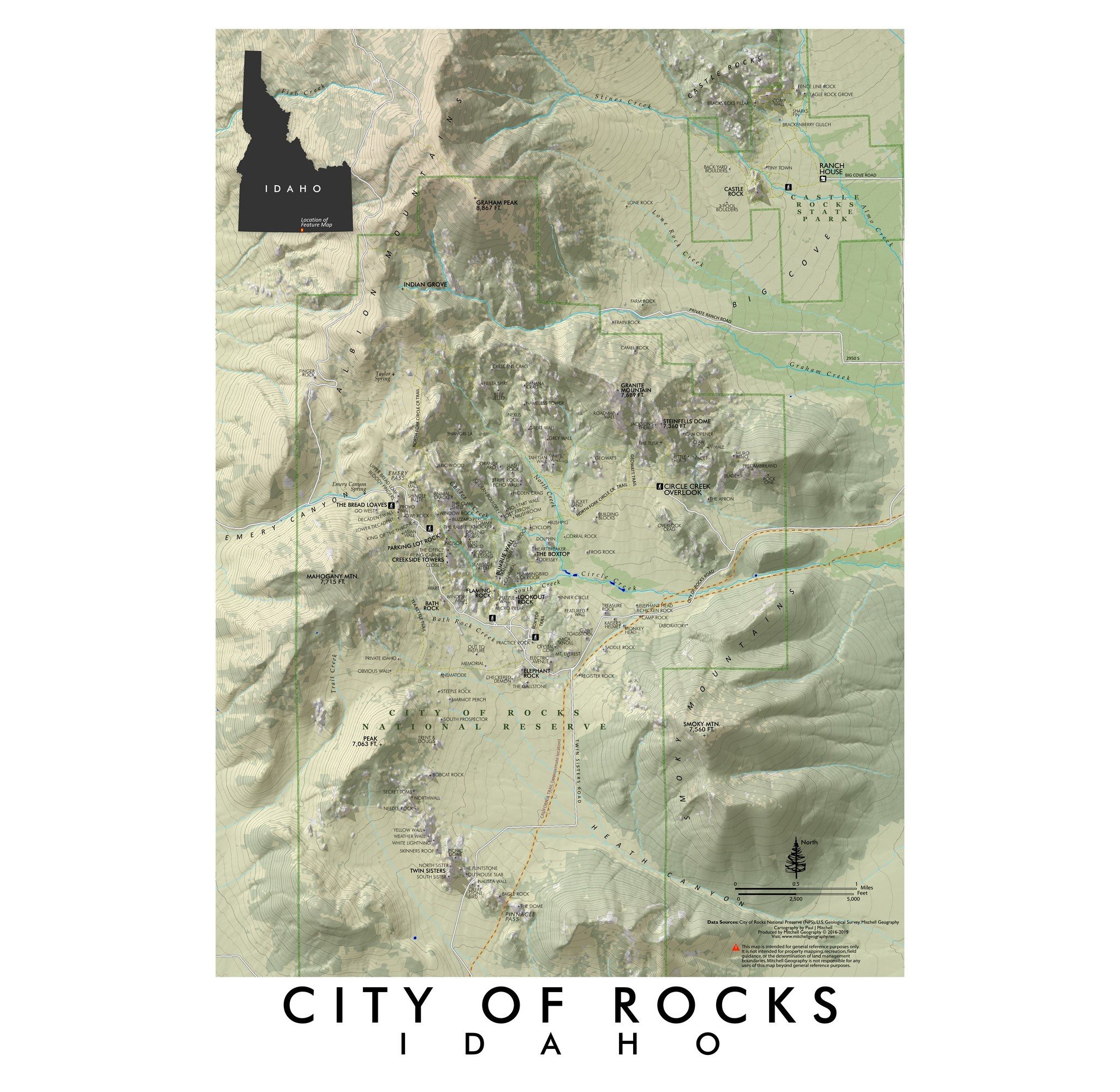
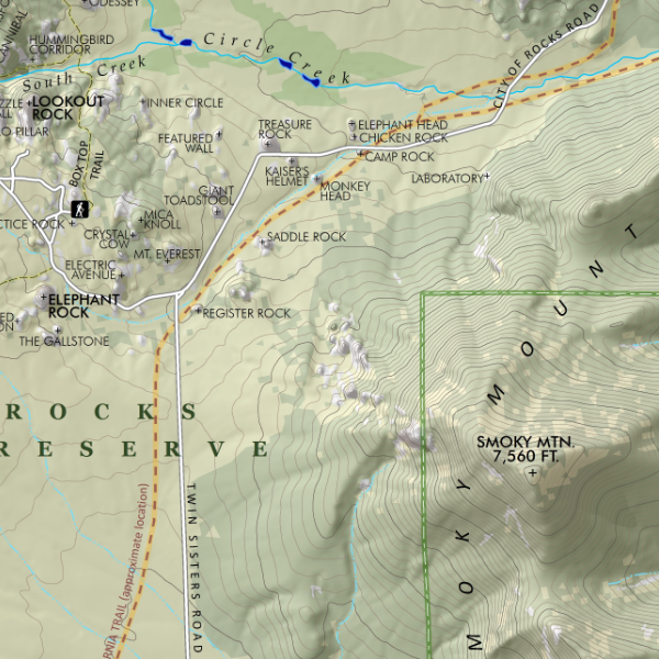
City of Rocks, Idaho. Featuring the exfoliating granite towers and boulders of the City of Rocks National Reserve and Castle Rocks State Park; this map stretches from the Twin Sisters and Pinnacle Pass in the south to Graham Peak and Castle Rocks in the north. Rocks, spires, walls, trails, and the approximate route of the California Trail are included for reference.

Quantity:
Add To Cart

1:30,000

13 inch by 19 inch flat wall map, printed on heavy fine paper. Packed and shipped flat.

City of Rocks, Idaho. Featuring the exfoliating granite towers and boulders of the City of Rocks National Reserve and Castle Rocks State Park; this map stretches from the Twin Sisters and Pinnacle Pass in the south to Graham Peak and Castle Rocks in the north. Rocks, spires, walls, trails, and the approximate route of the California Trail are included for reference.

You Might Also Like

Upper Pahsimeroi - Mount Borah (19 in x 13 in) Mount Borah Idaho Map Mount Borah Idaho Map
Upper Pahsimeroi - Mount Borah (19 in x 13 in)
$24.00
Sawtooth Mountains Idaho (24 in x 20 in) Sawtooth Mountains Idaho Map Redfish Lake Pettit Lake Alturas Lake Idaho Wilderness Bench Lakes Sawtooth Mountains Idaho Map Redfish Lake Pettit Lake Alturas Lake Idaho Wilderness Bench Lakes Sawtooth Mountains Idaho Map Redfish Lake Pettit Lake Alturas Lake Idaho Wilderness Bench Lakes Sawtooth Mountains Idaho Map Redfish Lake Pettit Lake Alturas Lake Idaho Wilderness Bench Lakes Sawtooth Mountains Idaho Map Redfish Lake Pettit Lake Alturas Lake Idaho Wilderness Bench Lakes
Sawtooth Mountains Idaho (24 in x 20 in)
$34.00
Ski Areas of Idaho (19 in x 13 in) Ski Areas of Idaho Map Ski Areas of Idaho Map
Ski Areas of Idaho (19 in x 13 in)
$24.00
Sold Out
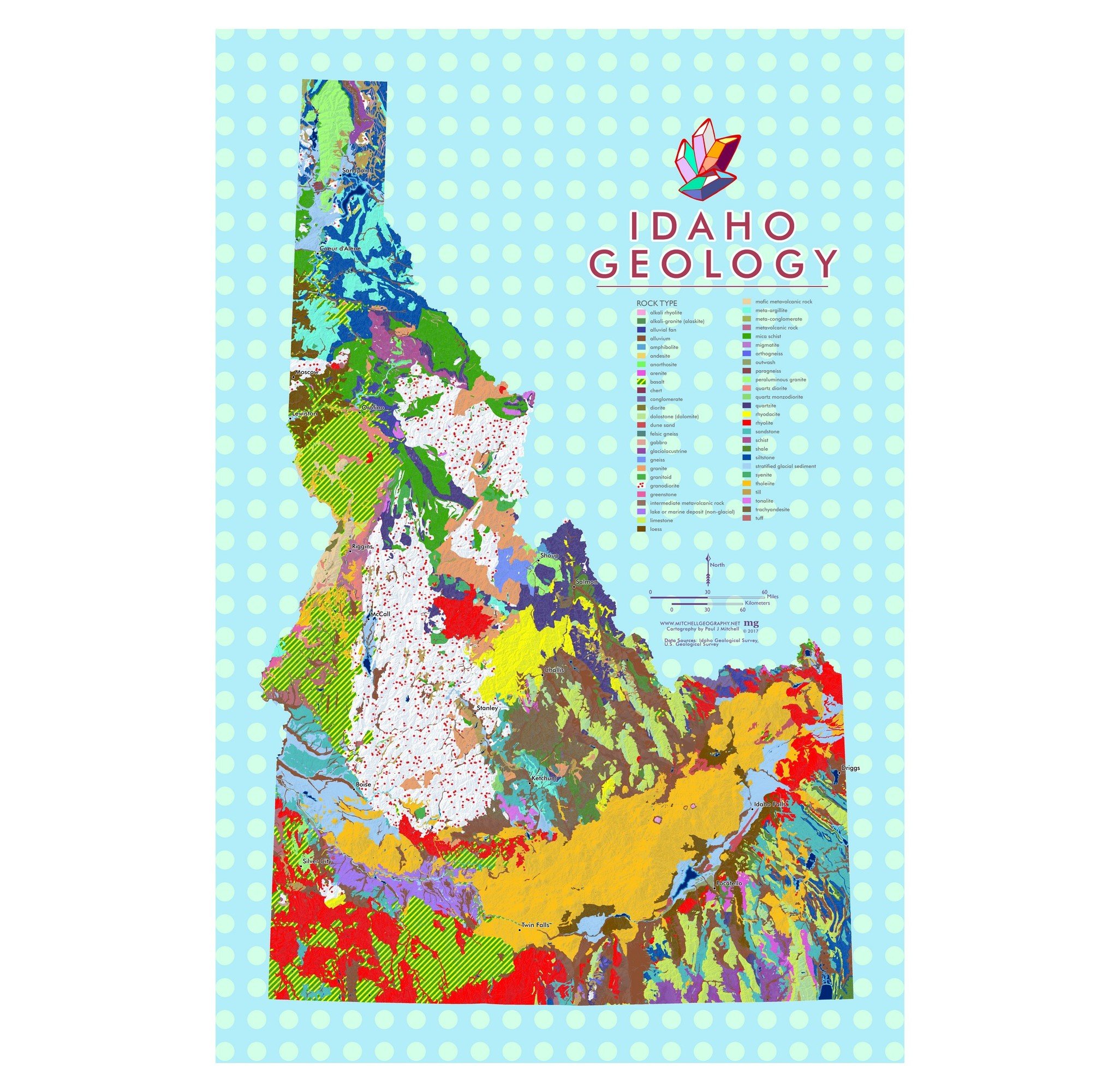
Idaho Geology (19 in x 13 in) Idaho Geology Map Idaho Geology Map Idaho Geology Map
Idaho Geology (19 in x 13 in)
$24.00
Sold Out
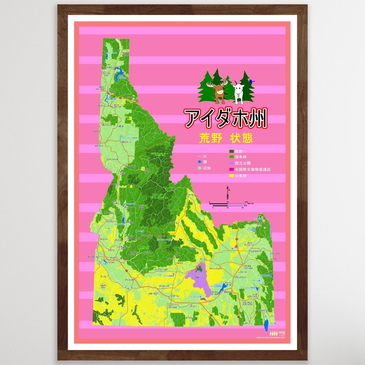
Idaho Wilderness State - Japanese language (19 in x 13 in) Japanese Idaho Map Japanese Idaho Map Japanese Idaho Map
Idaho Wilderness State - Japanese language (19 in x 13 in)
$24.00

© Mitchell Geography 2013 - 2025