1:700,000
20 inch (wide) x 28 inch (height)— flat wall map, printed on a heavy fine paper — ships rolled.
A 1:1,085,000 scale version including landforms of the entire state of Colorado is also available.
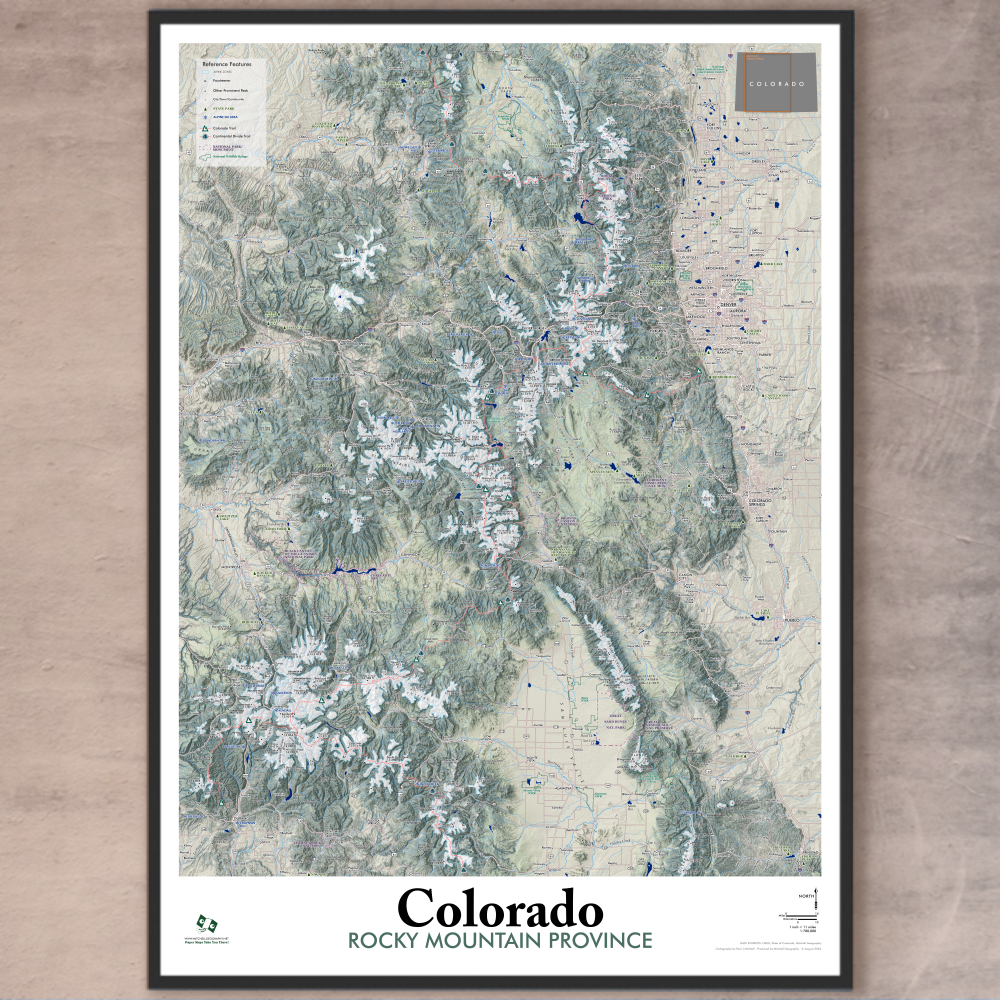
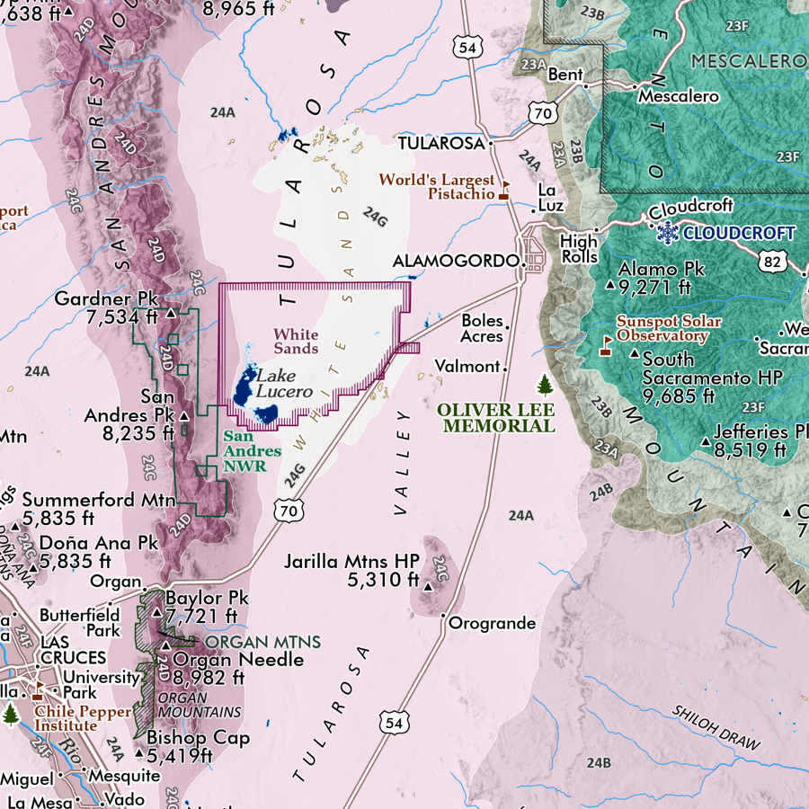
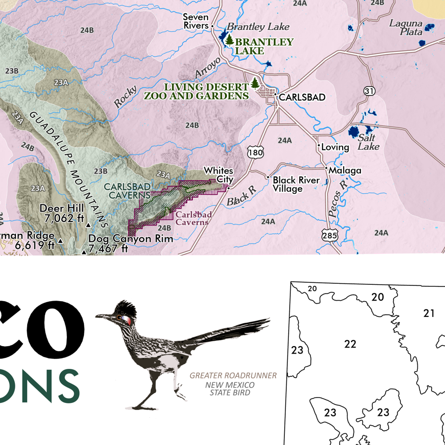
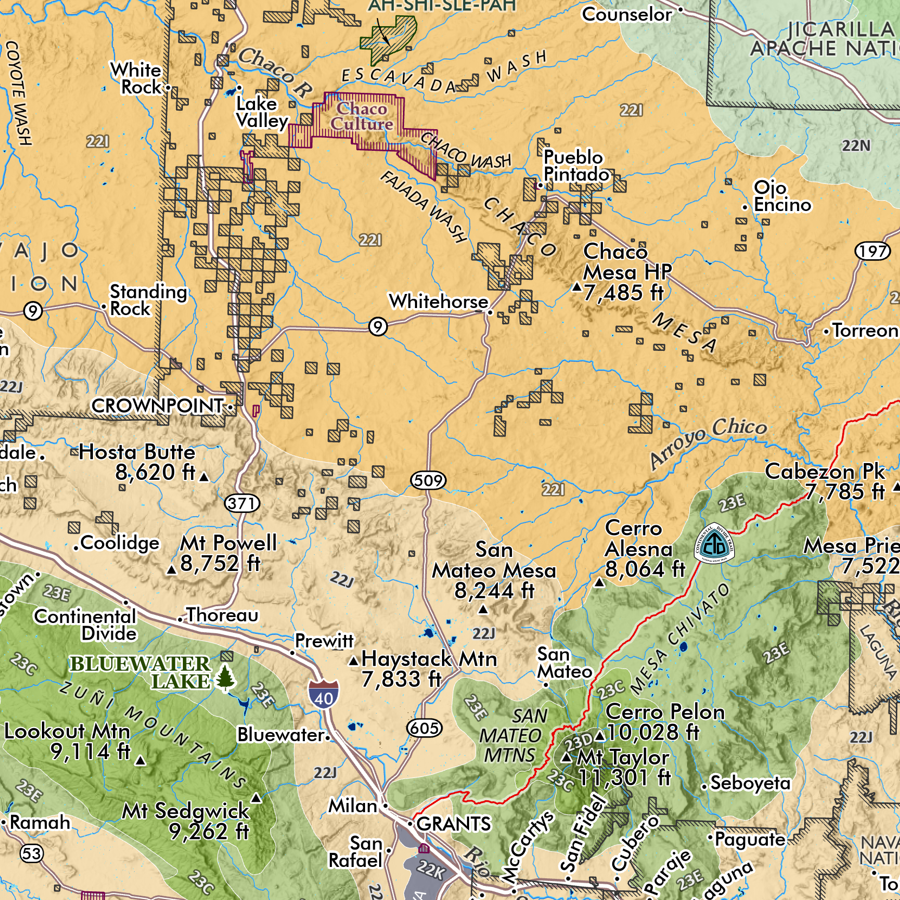
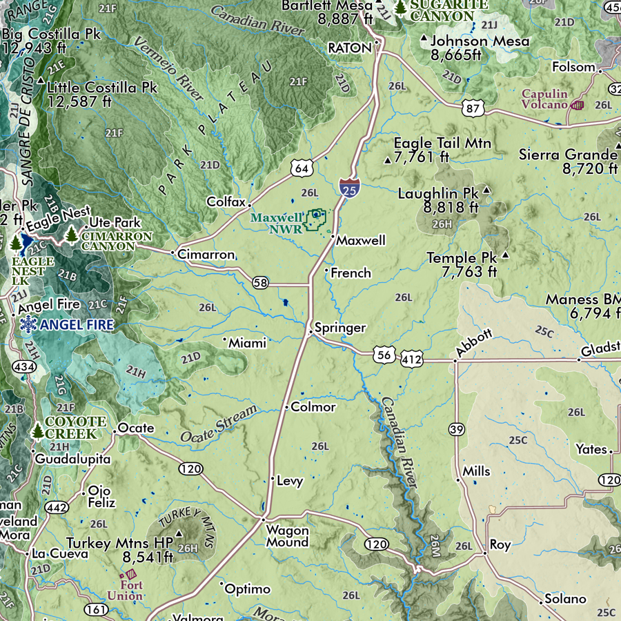
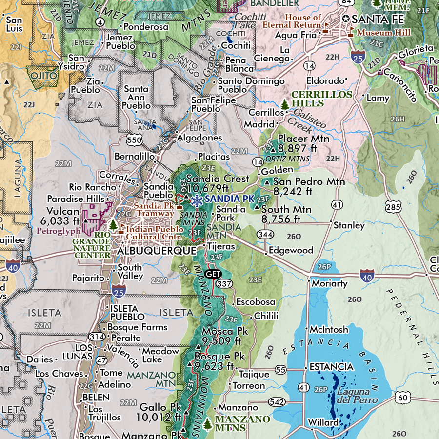
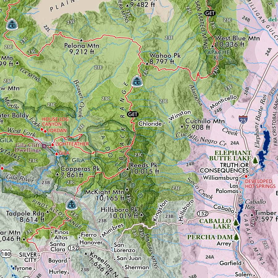
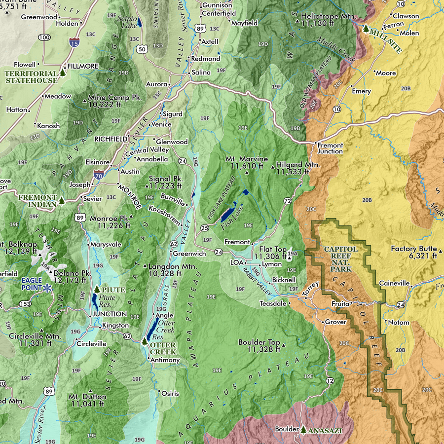
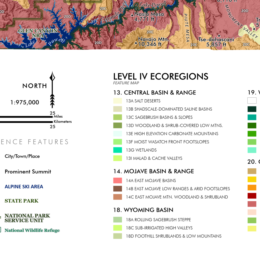
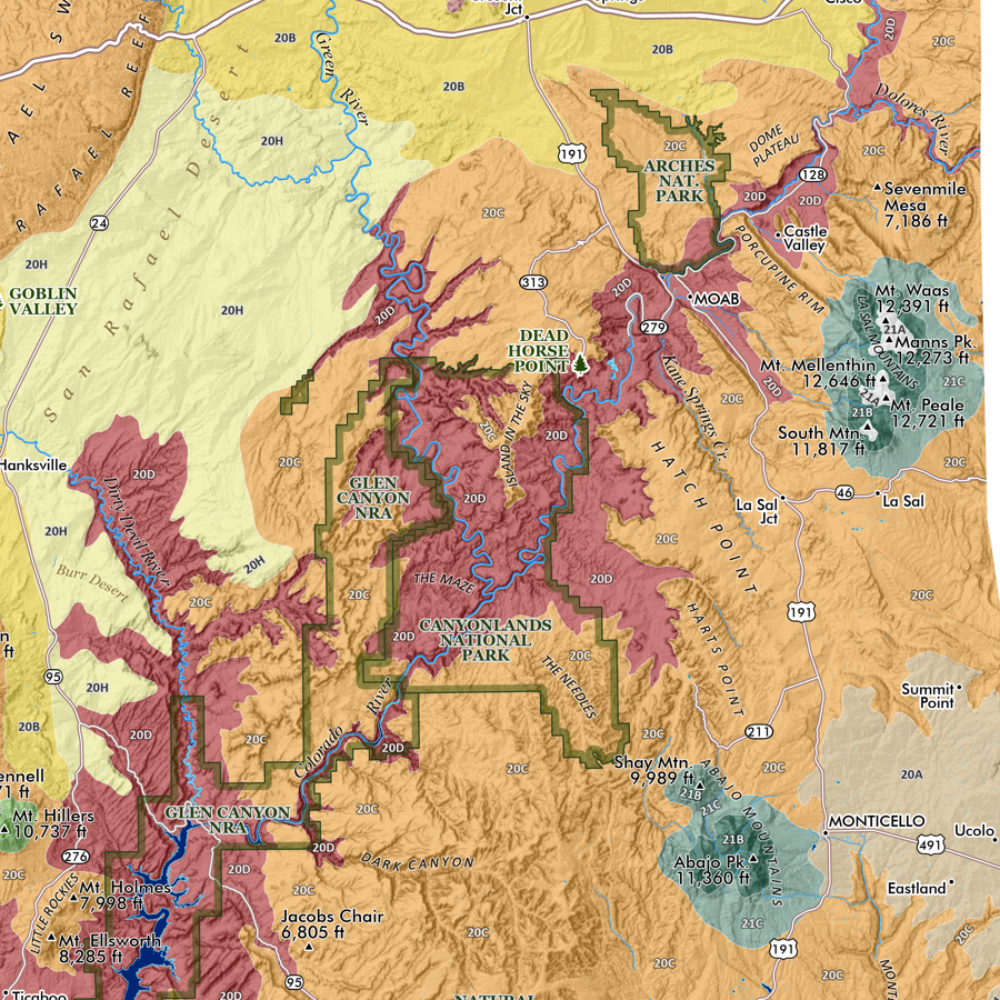
Colorado Mountain Ranges map (core version). This is a taxonomic styled general reference map of Colorado’s primary mountain systems and subranges including associated range high points labeled. Derived from my full state map version, this version is zoomed-in to the “core” extent of Colorado’s mountain ranges from the Front Range to the western edge of the Grand Mesa. The scale is 1:700,000 compared to 1:1,085,000 for the state map. Sleeping Ute, the eastern sub-ranges of the Uinta Ranges, the Book Cliffs, and other portions of the Colorado Plateau are the only areas of prominent relief not included in the “core” extent.
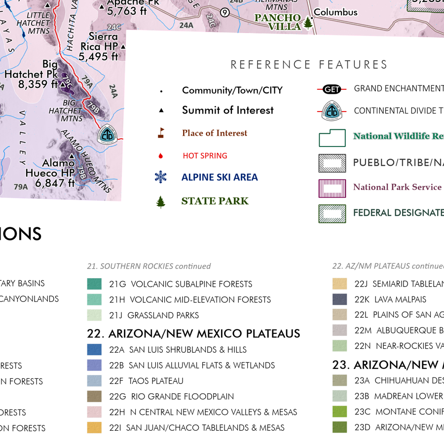
Featuring Colorado’s many mountain ranges and primary subranges — all delineated, colored and keyed to a detailed legend that identifies range high points and sub-range high point names and elevations in feet. Other landform features such as the plains, mountain parks, open slopes, plateaus, and foothill features are also classed and keyed within the legend (high points of these features are noted as appropriate). An inset map portrays the generalized parent landforms.
Reference features include:
City/Town/Community place names
Feature Summits
Mountain Passes of Interest
State Parks
Alpine Ski Areas
Colorado Trail route
Continental Divide Trail route
National Park/Monument
National Wildlife Refuge
1:700,000
20 inch (wide) x 28 inch (height)— flat wall map, printed on a heavy fine paper — ships rolled.
A 1:1,085,000 scale version including landforms of the entire state of Colorado is also available.
Colorado Mountain Ranges map (core version). This is a taxonomic styled general reference map of Colorado’s primary mountain systems and subranges including associated range high points labeled. Derived from my full state map version, this version is zoomed-in to the “core” extent of Colorado’s mountain ranges from the Front Range to the western edge of the Grand Mesa. The scale is 1:700,000 compared to 1:1,085,000 for the state map. Sleeping Ute, the eastern sub-ranges of the Uinta Ranges, the Book Cliffs, and other portions of the Colorado Plateau are the only areas of prominent relief not included in the “core” extent.
Featuring Colorado’s many mountain ranges and primary subranges — all delineated, colored and keyed to a detailed legend that identifies range high points and sub-range high point names and elevations in feet. Other landform features such as the plains, mountain parks, open slopes, plateaus, and foothill features are also classed and keyed within the legend (high points of these features are noted as appropriate). An inset map portrays the generalized parent landforms.
Reference features include:
City/Town/Community place names
Feature Summits
Mountain Passes of Interest
State Parks
Alpine Ski Areas
Colorado Trail route
Continental Divide Trail route
National Park/Monument
National Wildlife Refuge

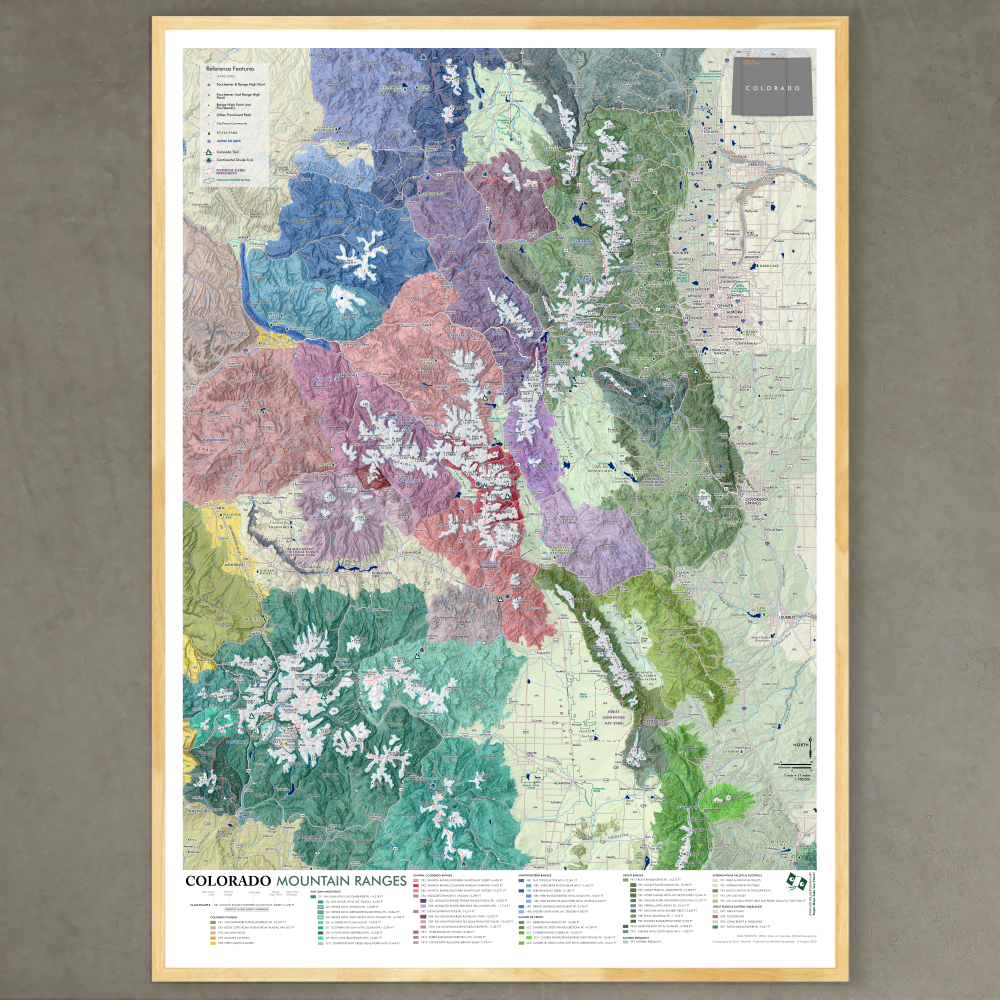 Image 1 of 9
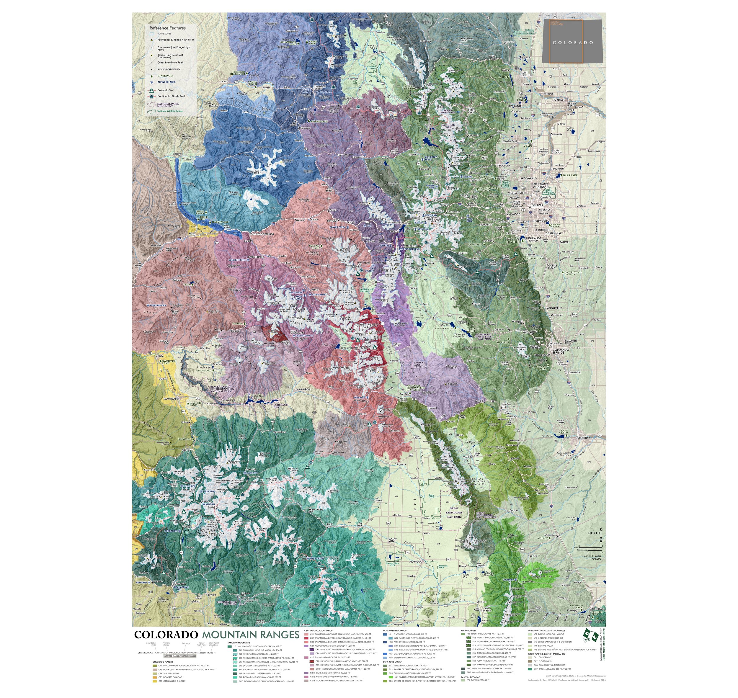 Image 2 of 9
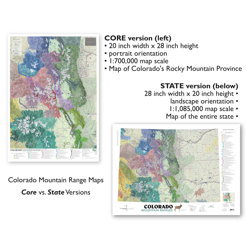 Image 3 of 9
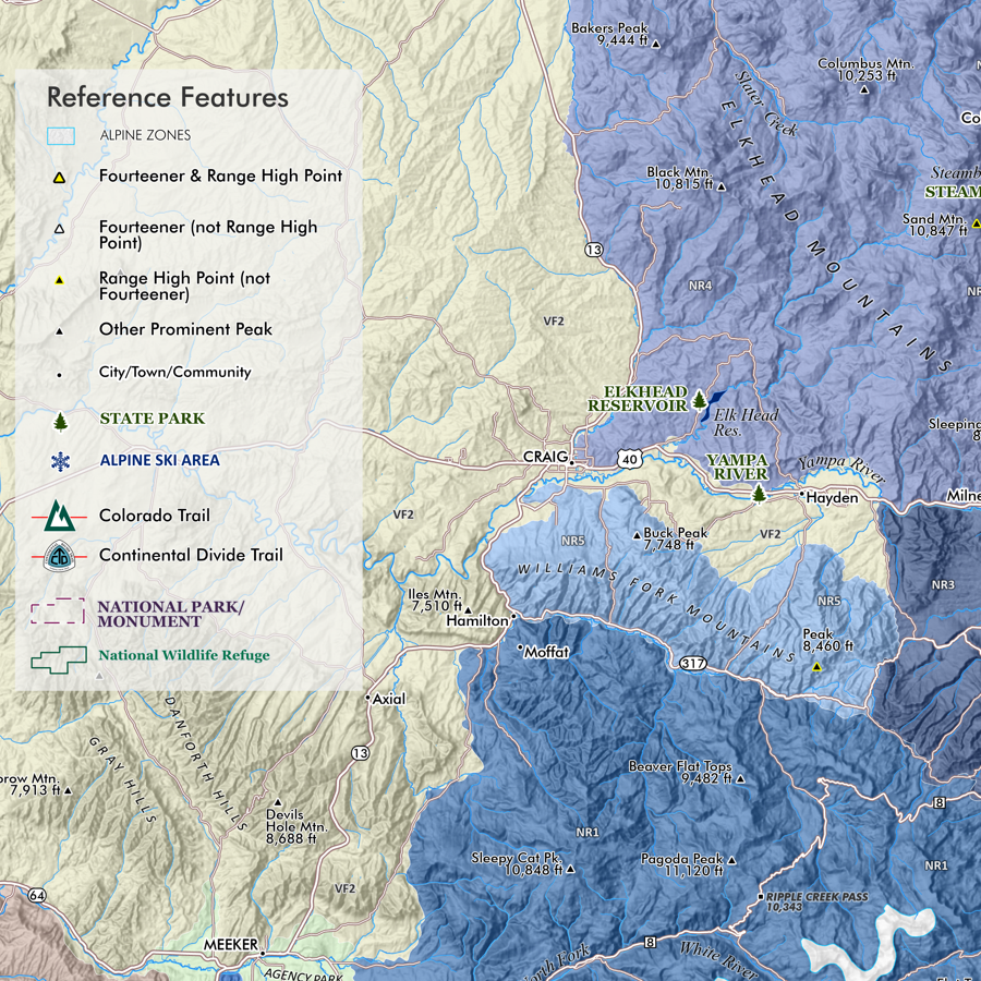 Image 4 of 9
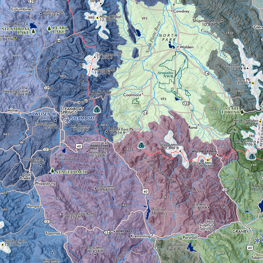 Image 5 of 9
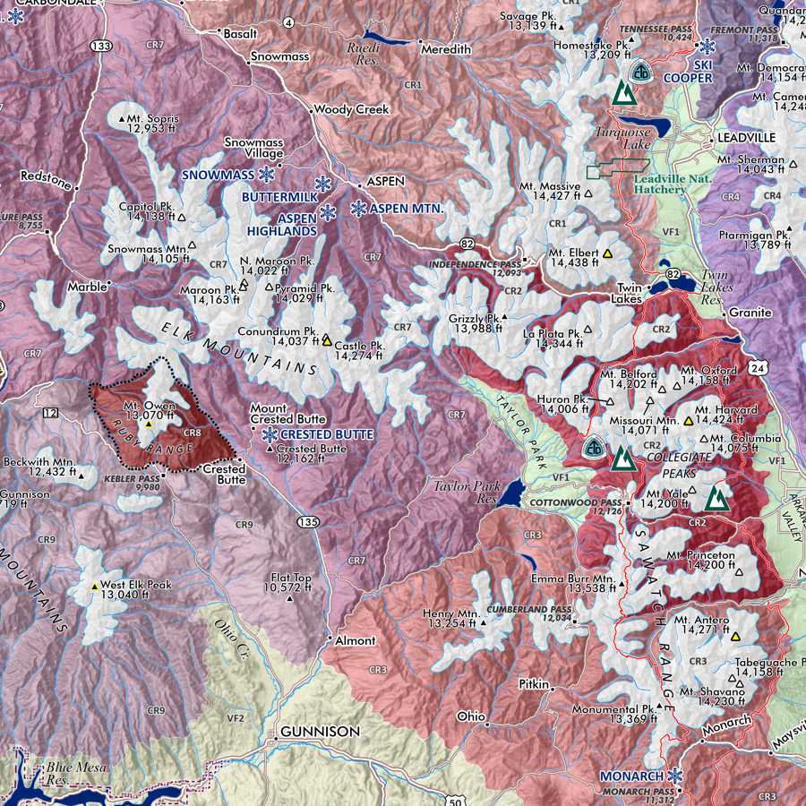 Image 6 of 9
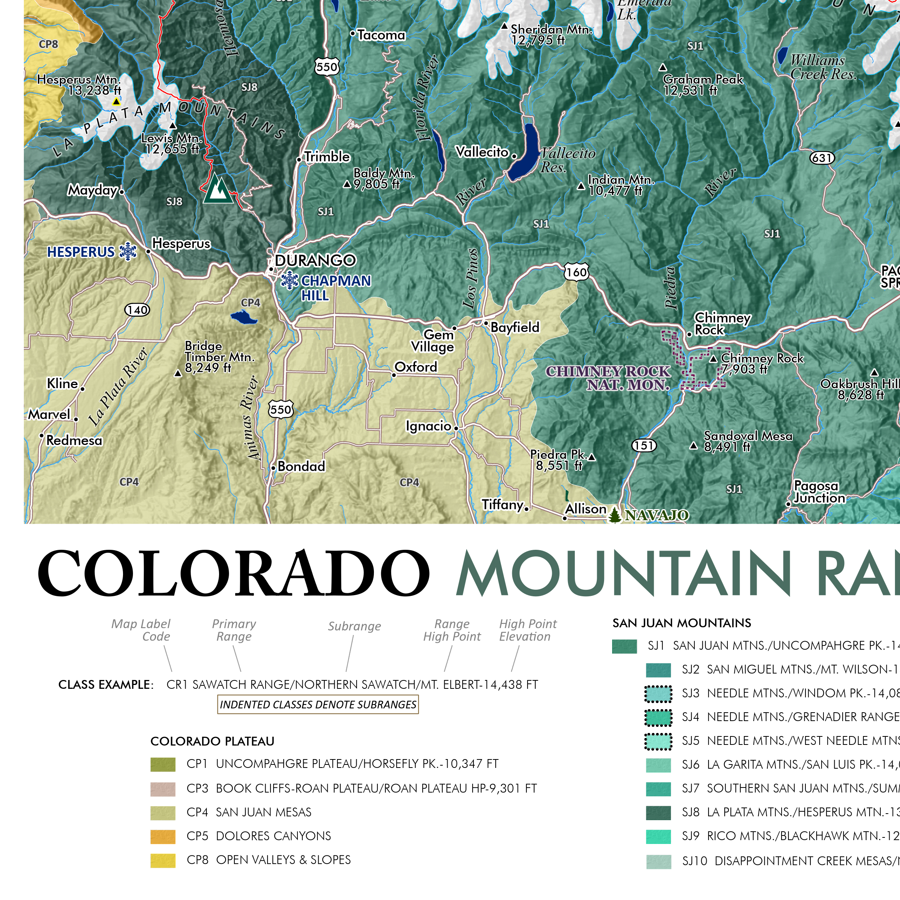 Image 7 of 9
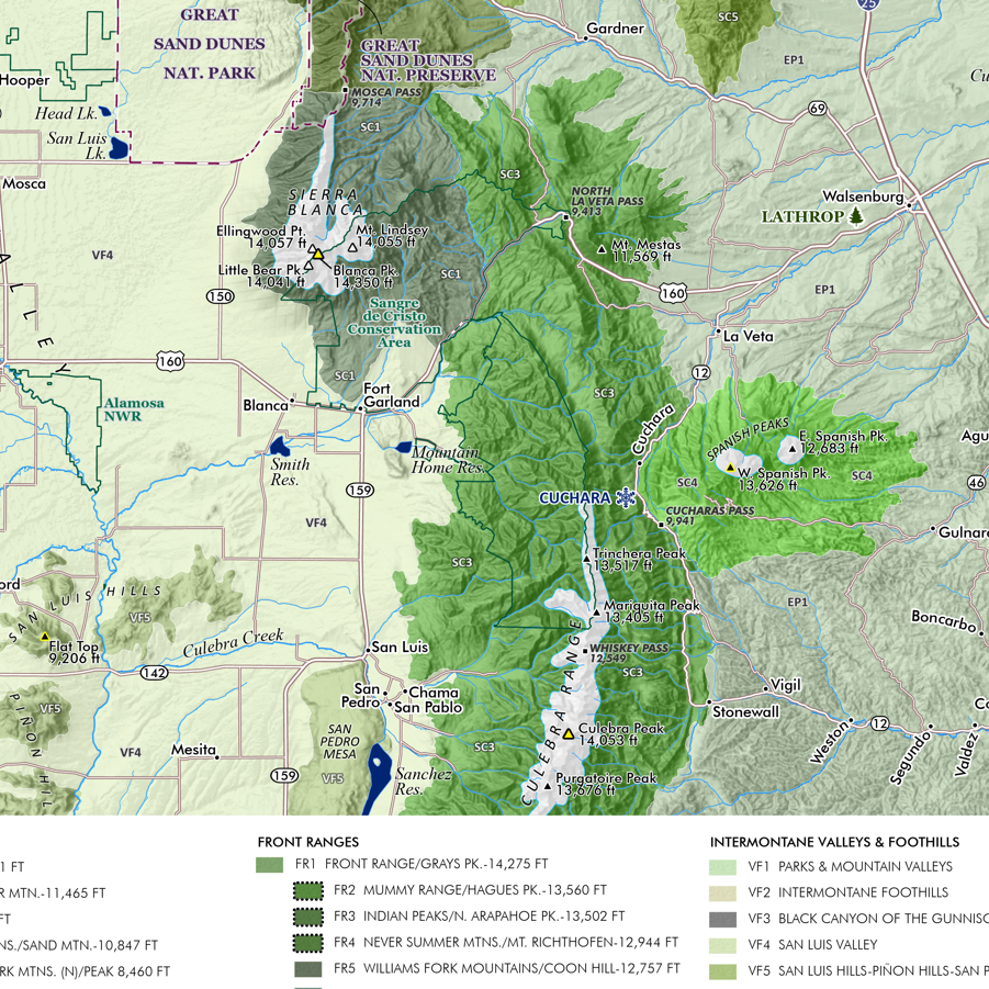 Image 8 of 9
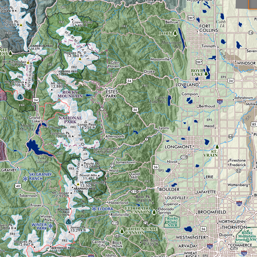 Image 9 of 9