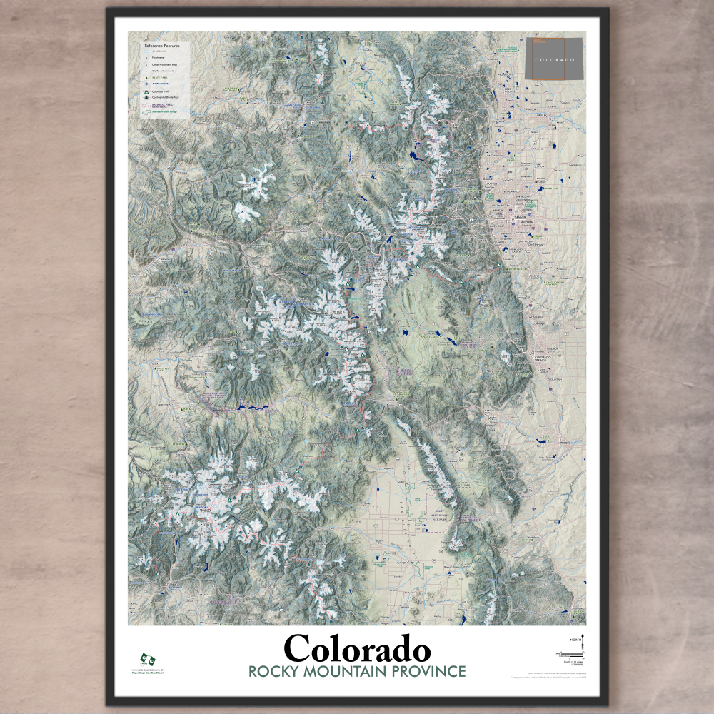
Colorado Rocky Mountain Province (28 in x 20 in)

$38.00
Sold Out

1:700,000

20 inch (wide) x 28 inch (height)— flat wall map, printed on a heavy fine paper — ships rolled.

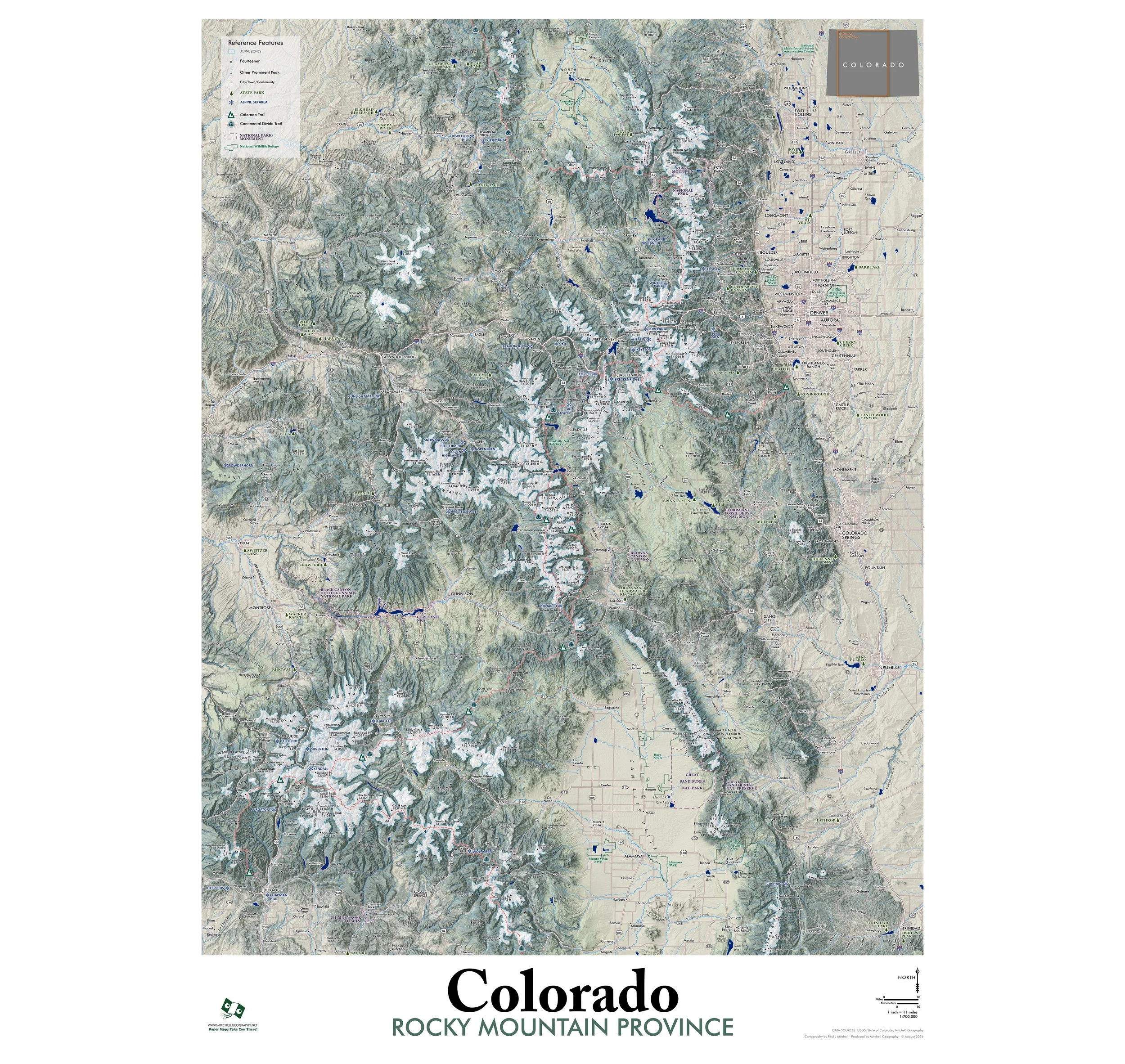
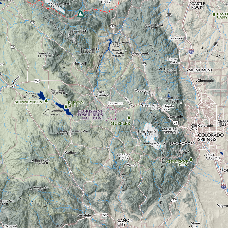
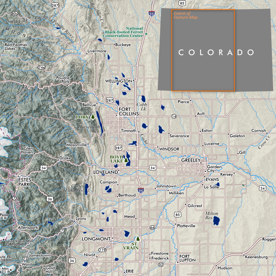
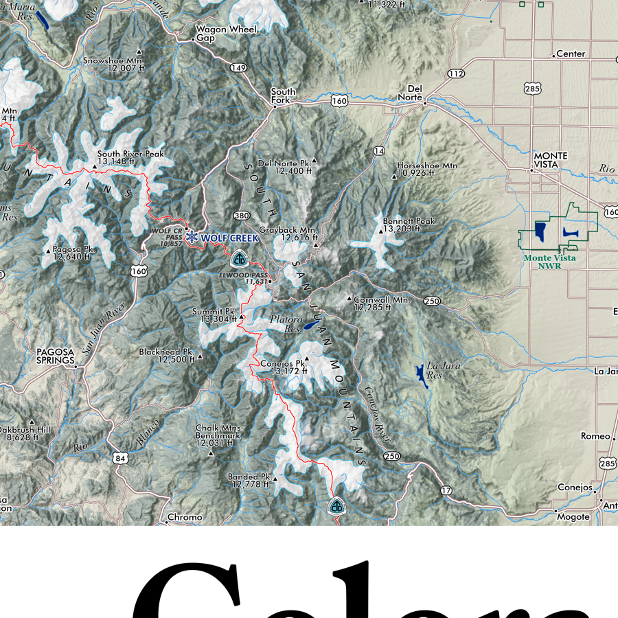
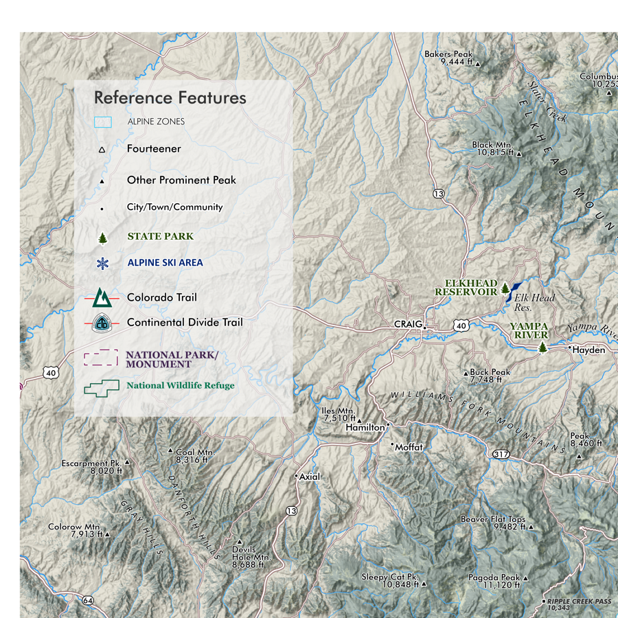
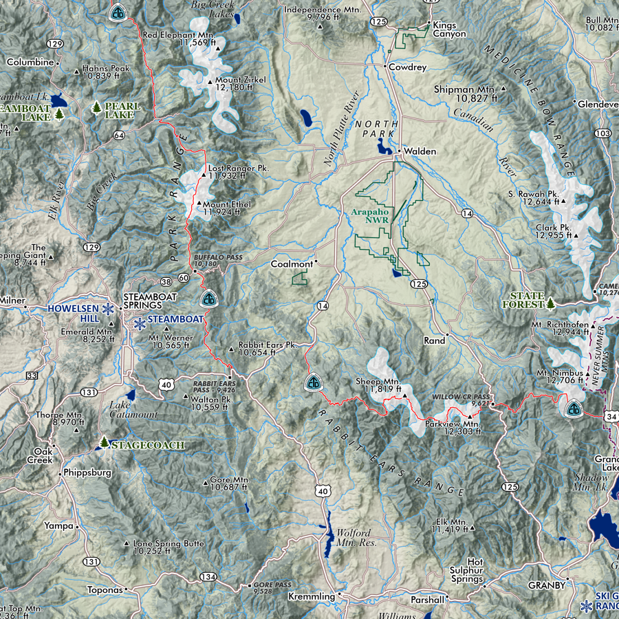
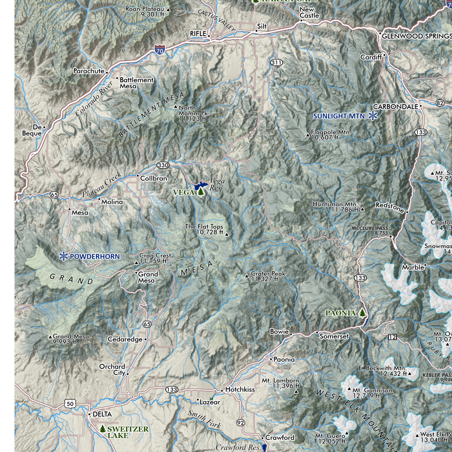
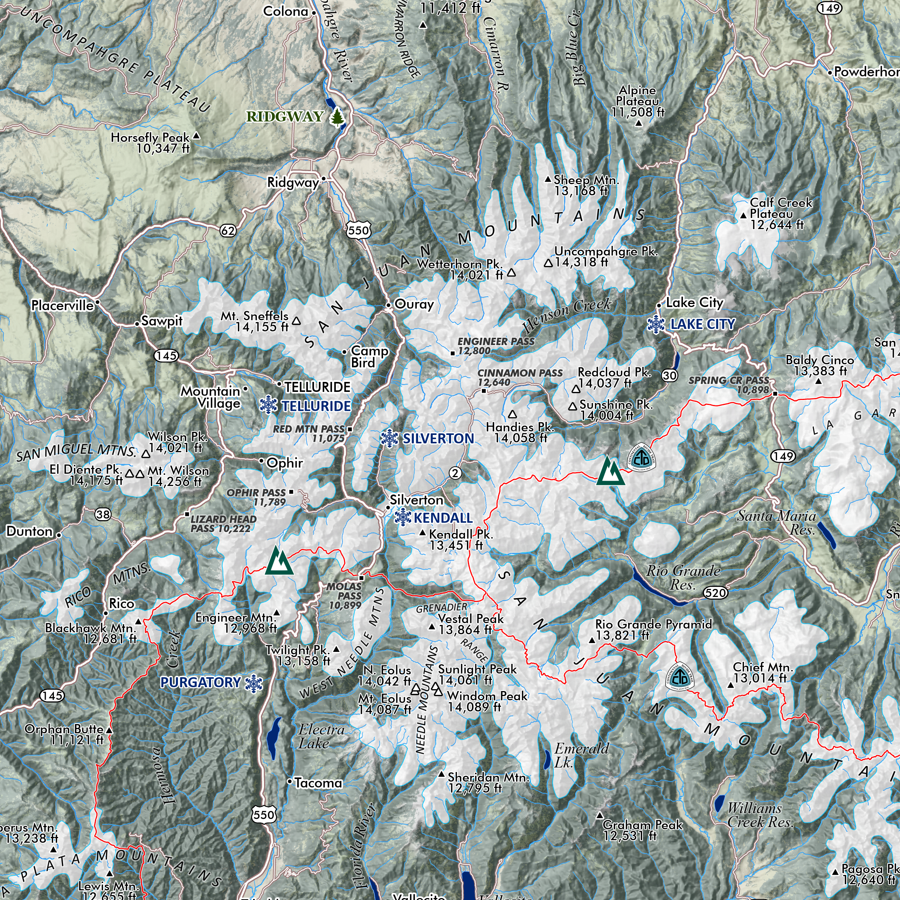
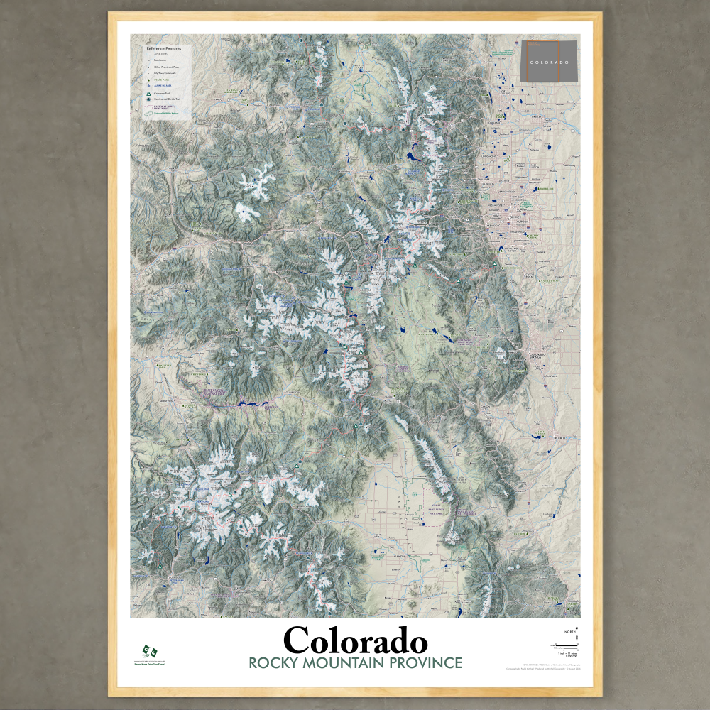
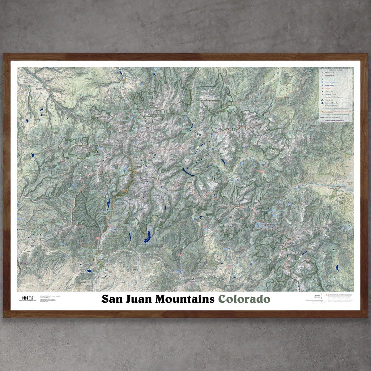
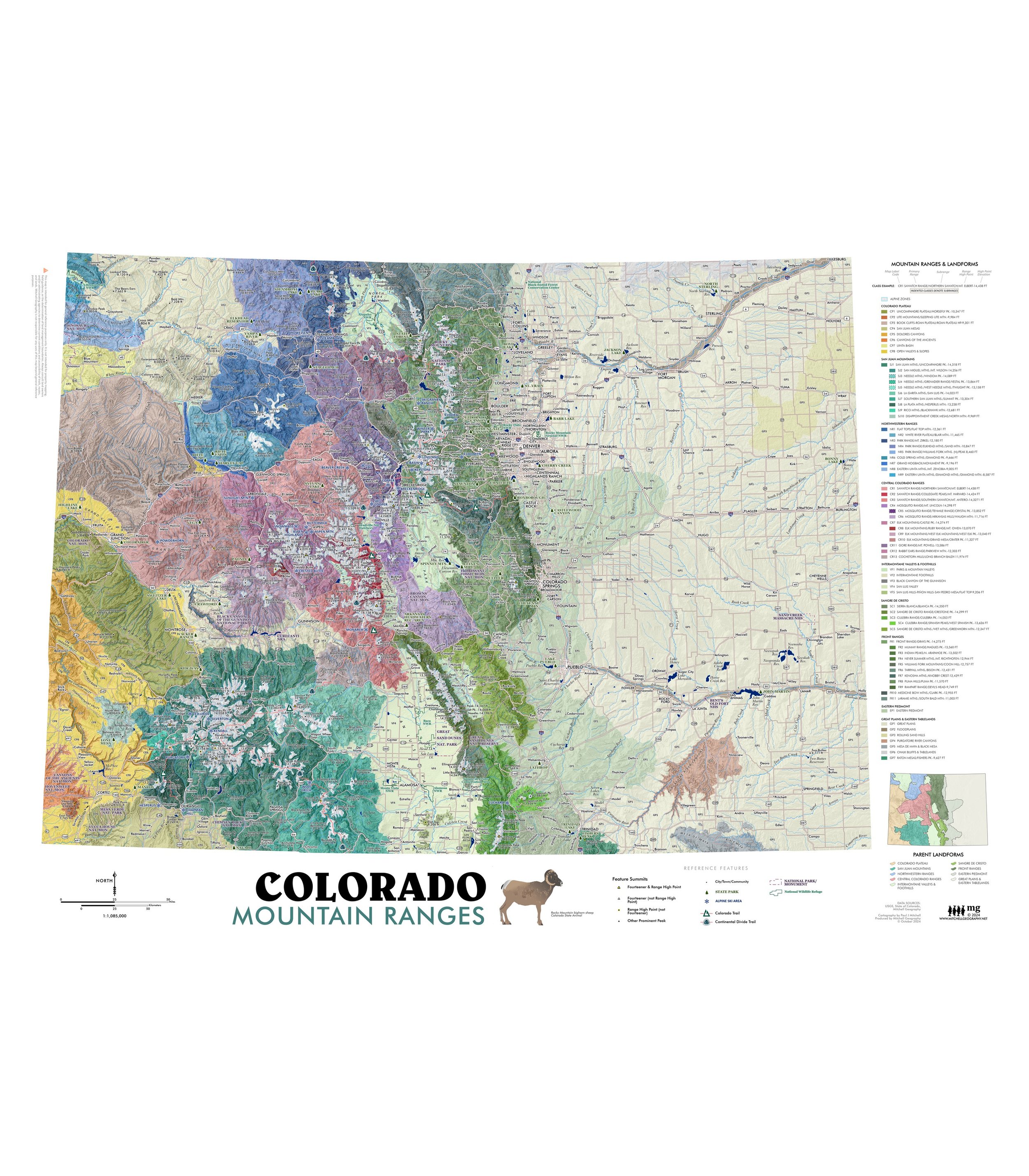
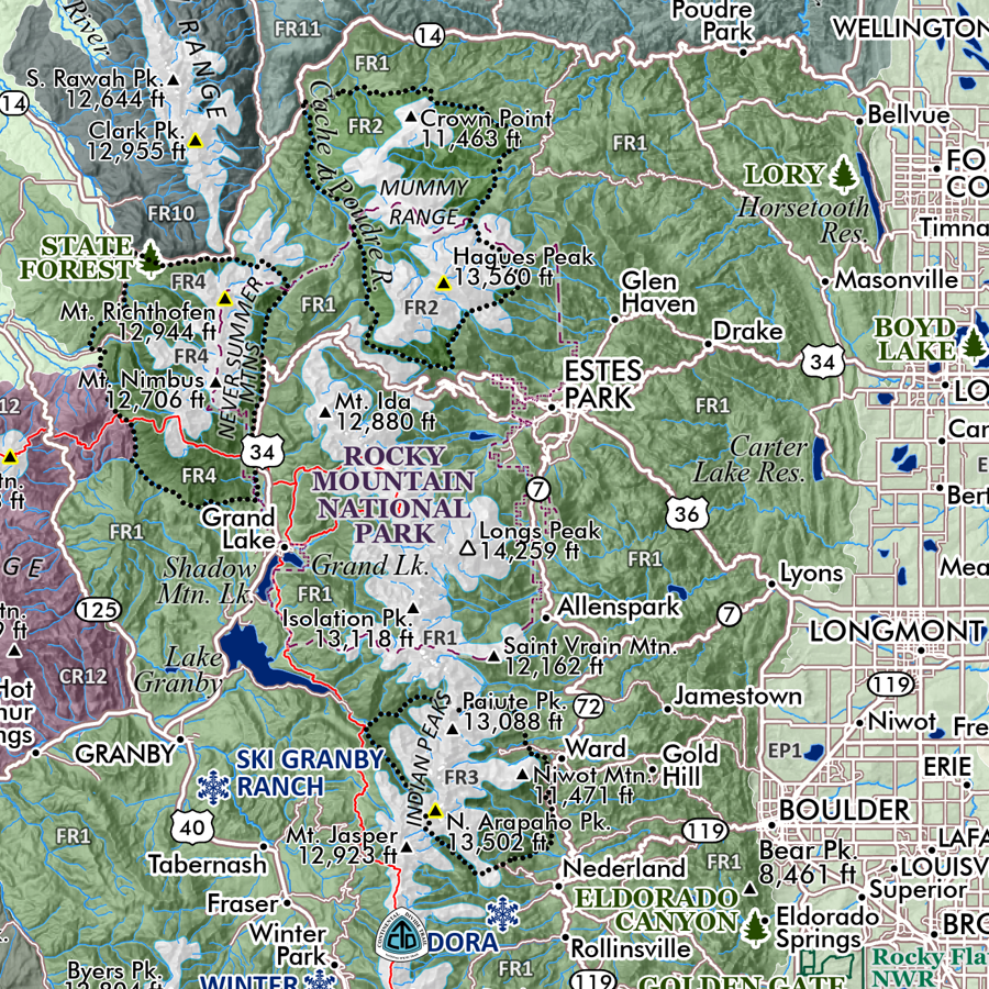
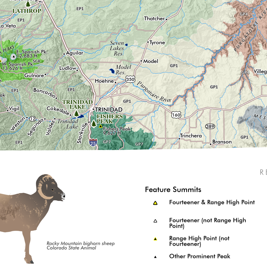
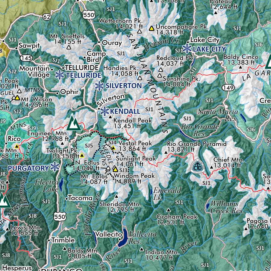
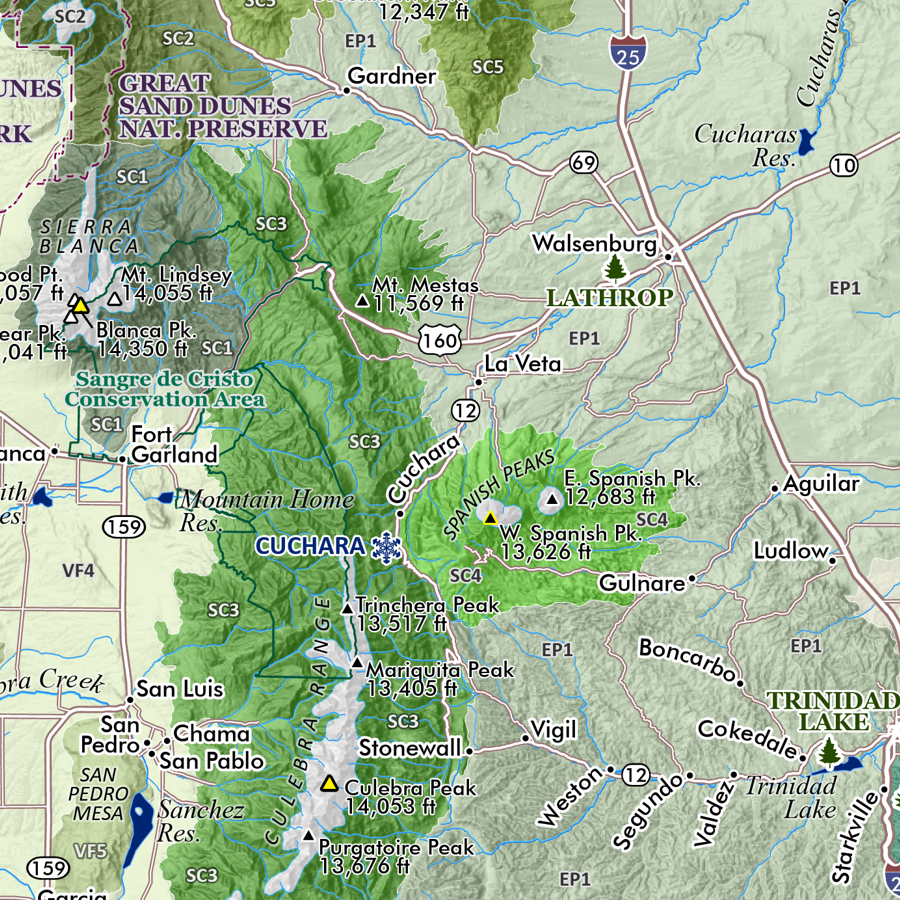
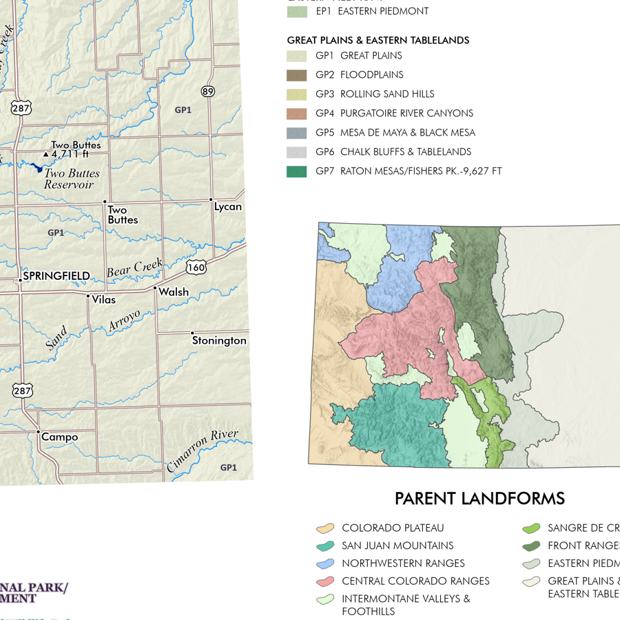
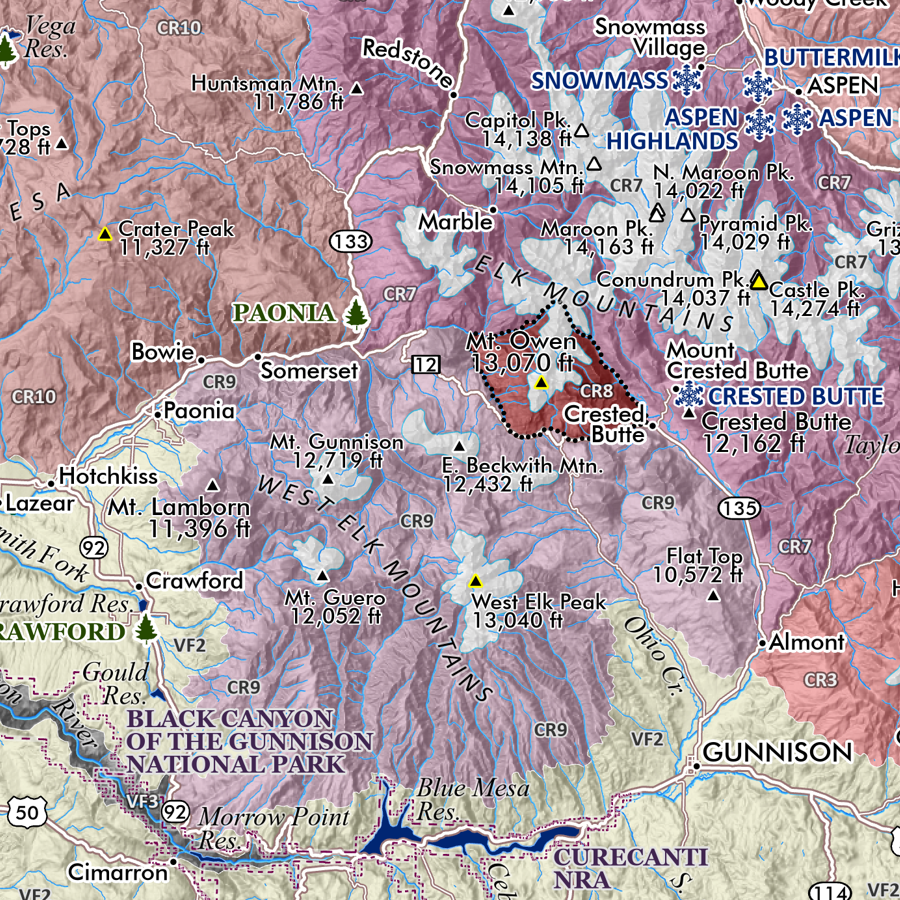
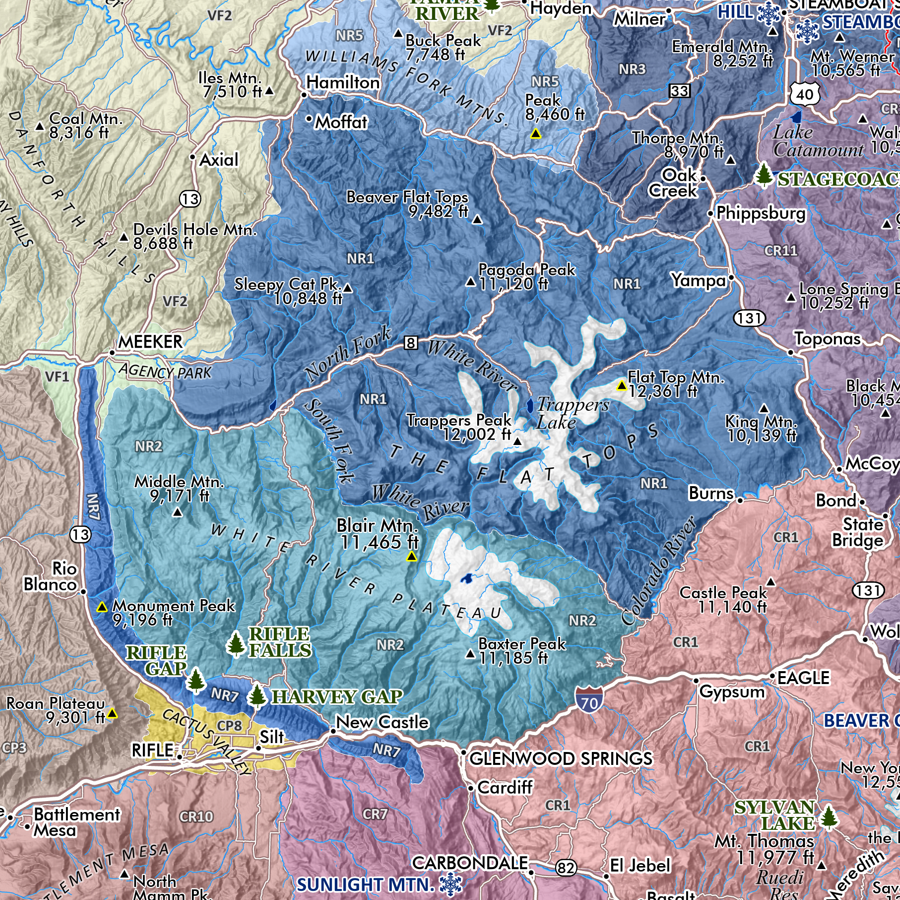
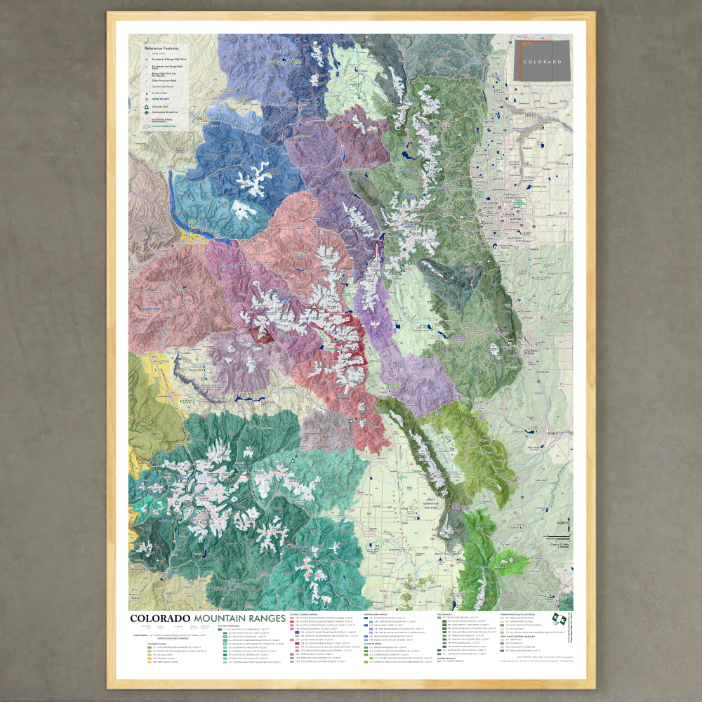
Colorado Rocky Mountain Province Map. This is the general reference companion to my Colorado Mountain Ranges “core” extent map. Featuring a land cover tinted shaded relief and prominent snow-capped alpine zones (from the US EPA ecoregion dataset), the Rocky Mountain Province map features many of the same labels and attributes of the Mountain Ranges map.

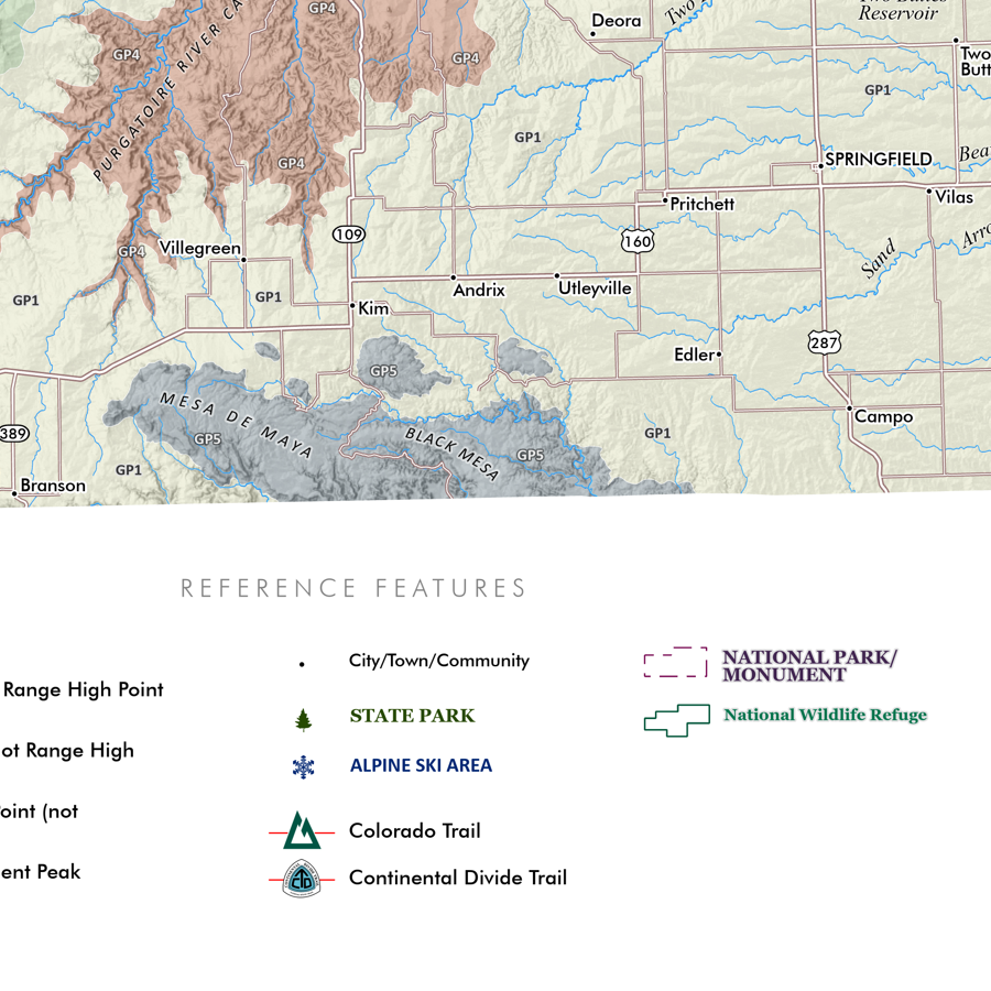
Reference features include:

  • City/Town/Community place names

  • Feature Summits

    • Fourteeners

    • Other Prominent Summits

  • Mountain Passes of Interest

  • State Parks

  • Alpine Ski Areas

  • Colorado Trail route

  • Continental Divide Trail route

  • National Park/Monument

  • National Wildlife Refuge

1:700,000

20 inch (wide) x 28 inch (height)— flat wall map, printed on a heavy fine paper — ships rolled.

Colorado Rocky Mountain Province Map. This is the general reference companion to my Colorado Mountain Ranges “core” extent map. Featuring a land cover tinted shaded relief and prominent snow-capped alpine zones (from the US EPA ecoregion dataset), the Rocky Mountain Province map features many of the same labels and attributes of the Mountain Ranges map.

Reference features include:

  • City/Town/Community place names

  • Feature Summits

    • Fourteeners

    • Other Prominent Summits

  • Mountain Passes of Interest

  • State Parks

  • Alpine Ski Areas

  • Colorado Trail route

  • Continental Divide Trail route

  • National Park/Monument

  • National Wildlife Refuge