Skip to Content
maps
etc
stockists
contact
Mitchell Geography
0
0
maps
etc
stockists
contact
Mitchell Geography
0
0
maps
etc
stockists
contact
map shop Colorado Rivers (19 in x 13 in)
Colorado Rivers Map Image 1 of 3
Colorado Rivers Map
Colorado Rivers Map Image 2 of 3
Colorado Rivers Map
Colorado Rivers Map Image 3 of 3
Colorado Rivers Map
Colorado Rivers Map
Colorado Rivers Map
Colorado Rivers Map

Colorado Rivers (19 in x 13 in)

$24.00

19 inch by 13 inch flat wall map, printed on heavy fine paper. Packed and shipped flat.

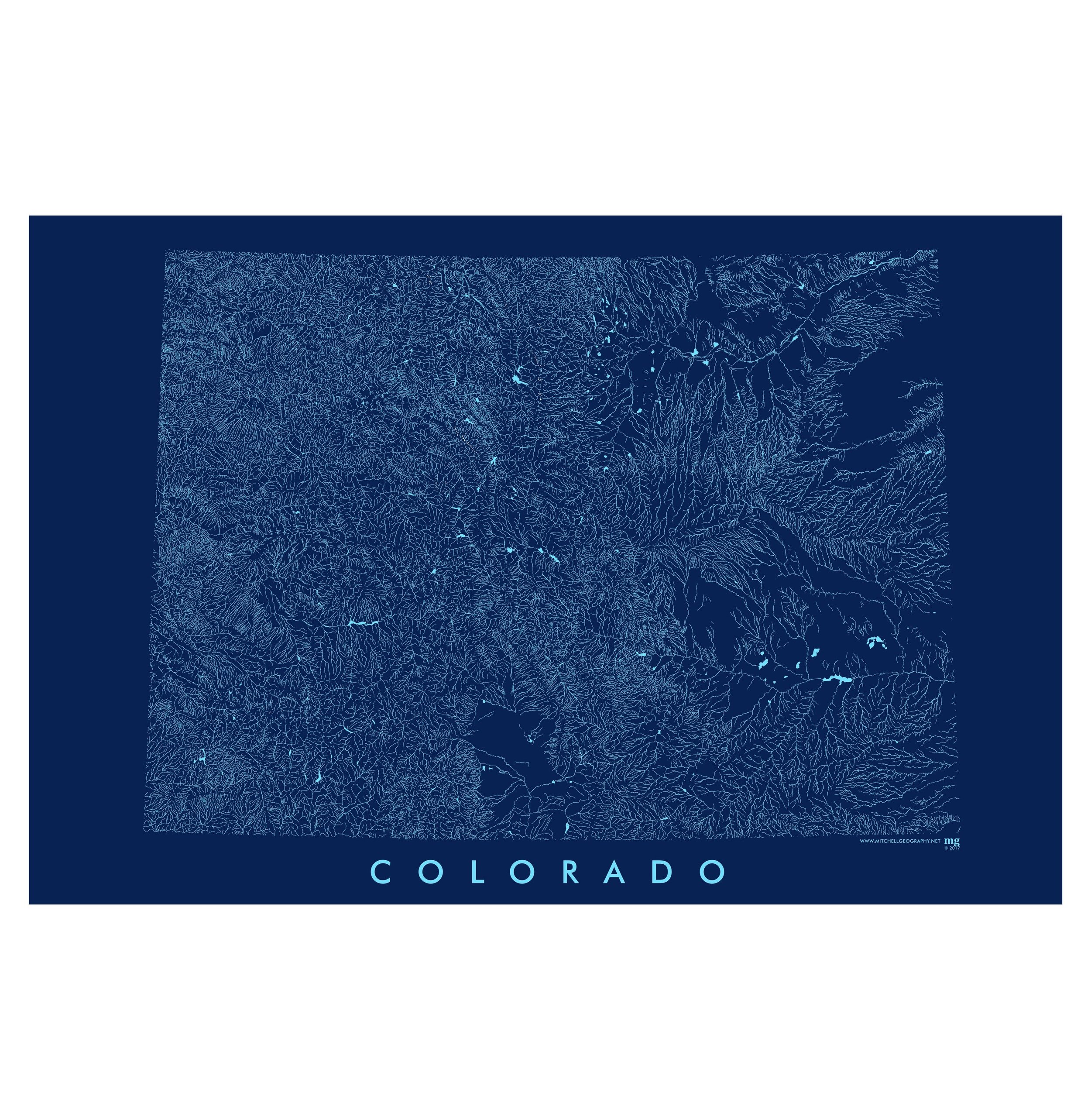
Colorado Rivers. Colorado's surface hydrology -- rivers, streams, lakes, and reservoirs cookie cut to the rectangular political boundary of the State. The Central Colorado State Plane projection is used.

Quantity:
Add To Cart

19 inch by 13 inch flat wall map, printed on heavy fine paper. Packed and shipped flat.

Colorado Rivers. Colorado's surface hydrology -- rivers, streams, lakes, and reservoirs cookie cut to the rectangular political boundary of the State. The Central Colorado State Plane projection is used.

Colorado Mountain Ranges (28 in x 20 in)
$38.00
Colorado Ecological Regions (28 in x 20 in)
$38.00
Colorado Geology (19 in x 13 in)
$24.00

19 inch by 13 inch flat wall map, printed on heavy fine paper. Packed and shipped flat.

Colorado Rivers. Colorado's surface hydrology -- rivers, streams, lakes, and reservoirs cookie cut to the rectangular political boundary of the State. The Central Colorado State Plane projection is used.

You Might Also Like

Montana Rivers (19 in x 13 in) Montana Rivers Map Montana Rivers Map
Montana Rivers (19 in x 13 in)
$24.00
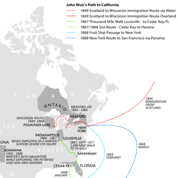
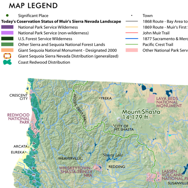
John Muir's California John Muir's California Map John Muir's California Map John Muir's California Map John Muir's California Map
John Muir's California
from $24.00
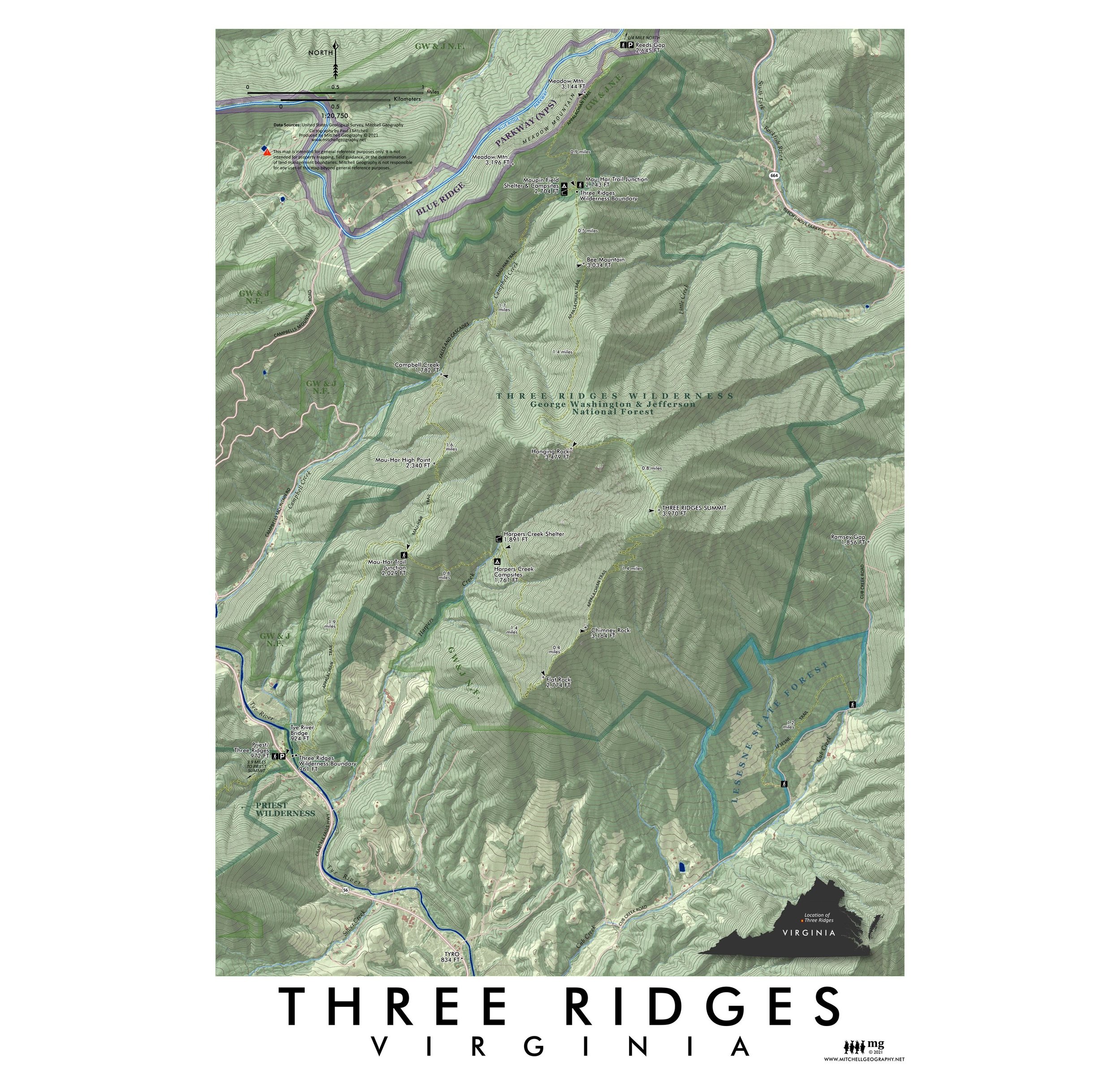
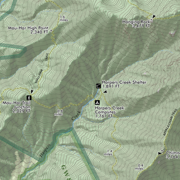
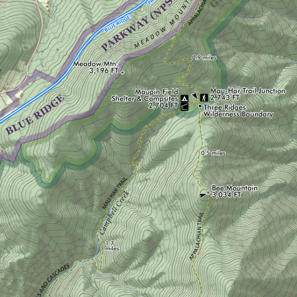
Three Ridges Virginia (19 in x 13 in) Three Ridges Virginia Map Three Ridges Virginia Map Three Ridges Virginia Map
Three Ridges Virginia (19 in x 13 in)
$24.00
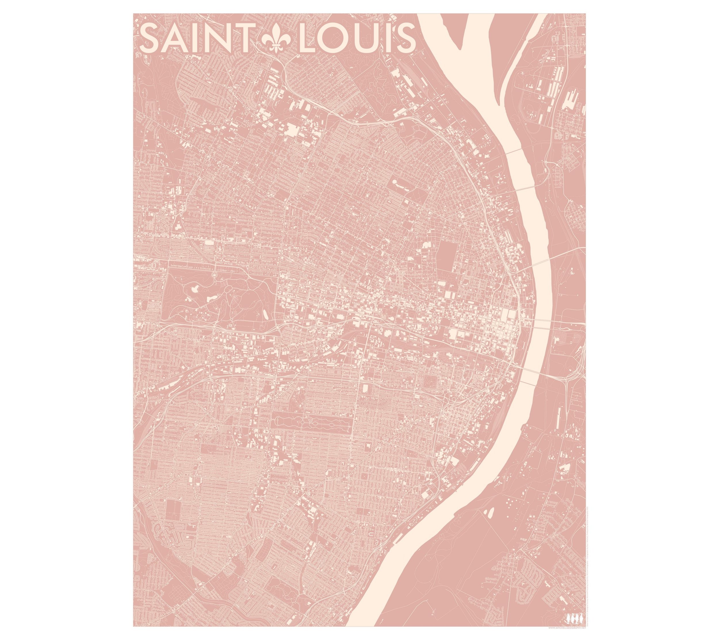
Saint Louis Missouri (24 in x 18 in) Saint Louis Missouri Map Saint Louis Missouri Map Saint Louis Missouri Map
Saint Louis Missouri (24 in x 18 in)
$34.00
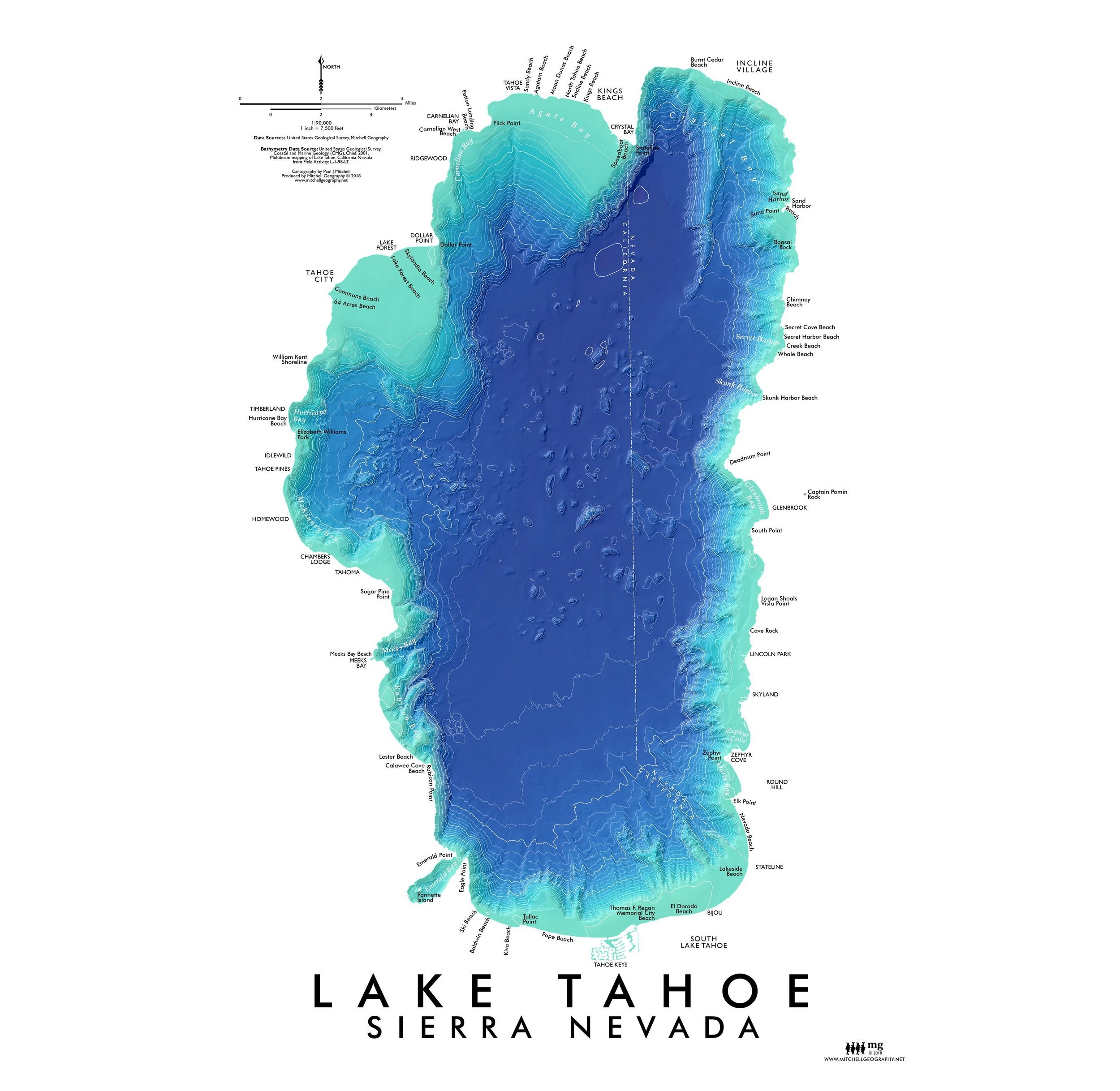
Lake Tahoe (19 in x 13 in) Lake Tahoe Bathymetry Map Lake Tahoe Bathymetry Map
Lake Tahoe (19 in x 13 in)
$24.00

© Mitchell Geography 2013 - 2025