Skip to Content
maps
planners
puzzles
stockists
contact
Mitchell Geography
0
0
maps
planners
puzzles
stockists
contact
Mitchell Geography
0
0
maps
planners
puzzles
stockists
contact
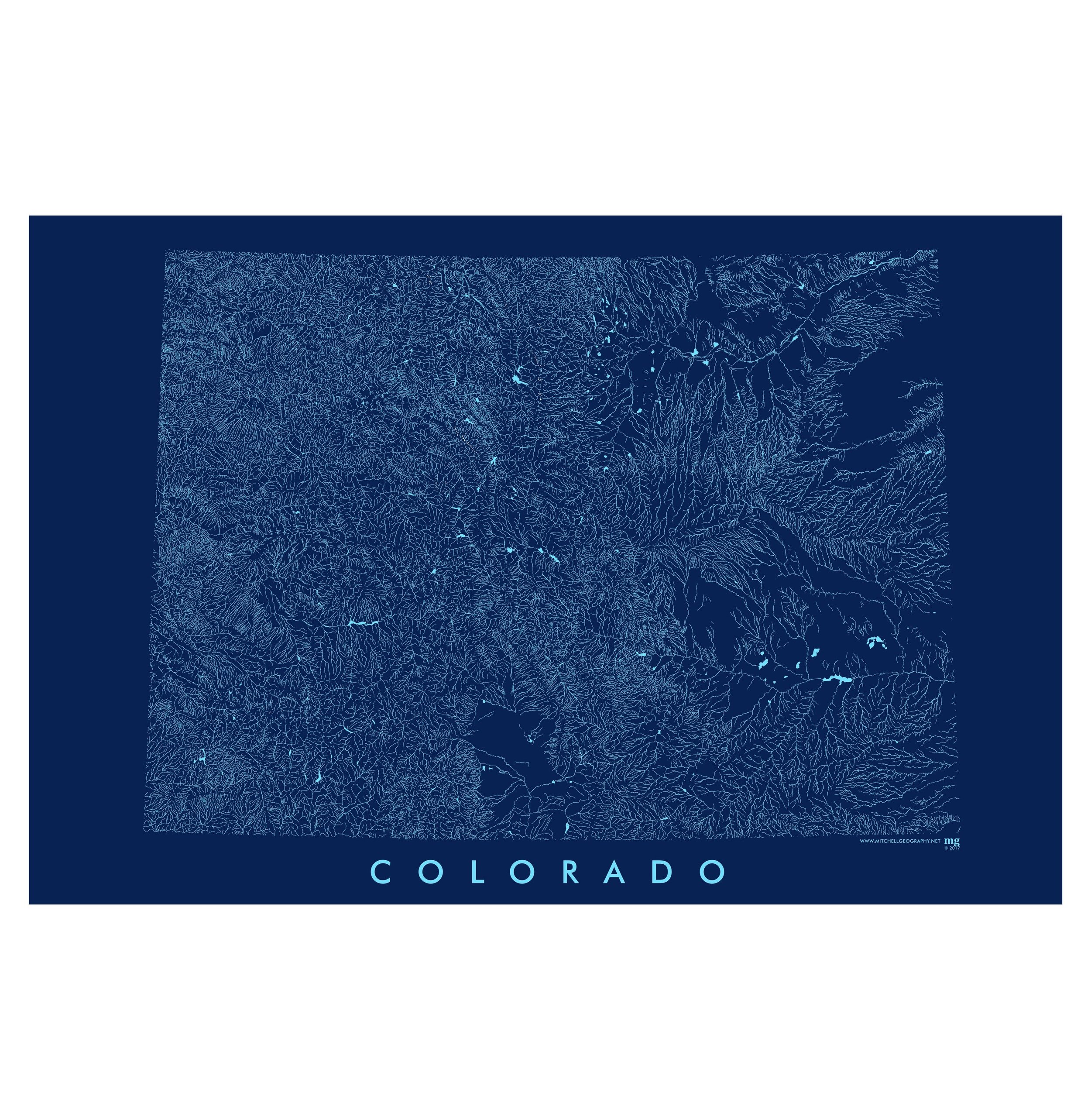
map shop Colorado Rivers (19 in x 13 in)
Colorado Rivers Map Image 1 of 3
Colorado Rivers Map
Colorado Rivers Map Image 2 of 3
Colorado Rivers Map
Colorado Rivers Map Image 3 of 3
Colorado Rivers Map
Colorado Rivers Map
Colorado Rivers Map
Colorado Rivers Map

Colorado Rivers (19 in x 13 in)

$24.00

19 inch by 13 inch flat wall map, printed on heavy fine paper. Packed and shipped flat.

Colorado Rivers. Colorado's surface hydrology -- rivers, streams, lakes, and reservoirs cookie cut to the rectangular political boundary of the State. The Central Colorado State Plane projection is used.

Quantity:
Add To Cart

19 inch by 13 inch flat wall map, printed on heavy fine paper. Packed and shipped flat.

Colorado Rivers. Colorado's surface hydrology -- rivers, streams, lakes, and reservoirs cookie cut to the rectangular political boundary of the State. The Central Colorado State Plane projection is used.

Colorado Mountain Ranges (28 in x 20 in)
$38.00
Colorado Ecological Regions (28 in x 20 in)
$38.00
Colorado Geology (19 in x 13 in)
$24.00

19 inch by 13 inch flat wall map, printed on heavy fine paper. Packed and shipped flat.

Colorado Rivers. Colorado's surface hydrology -- rivers, streams, lakes, and reservoirs cookie cut to the rectangular political boundary of the State. The Central Colorado State Plane projection is used.

You Might Also Like

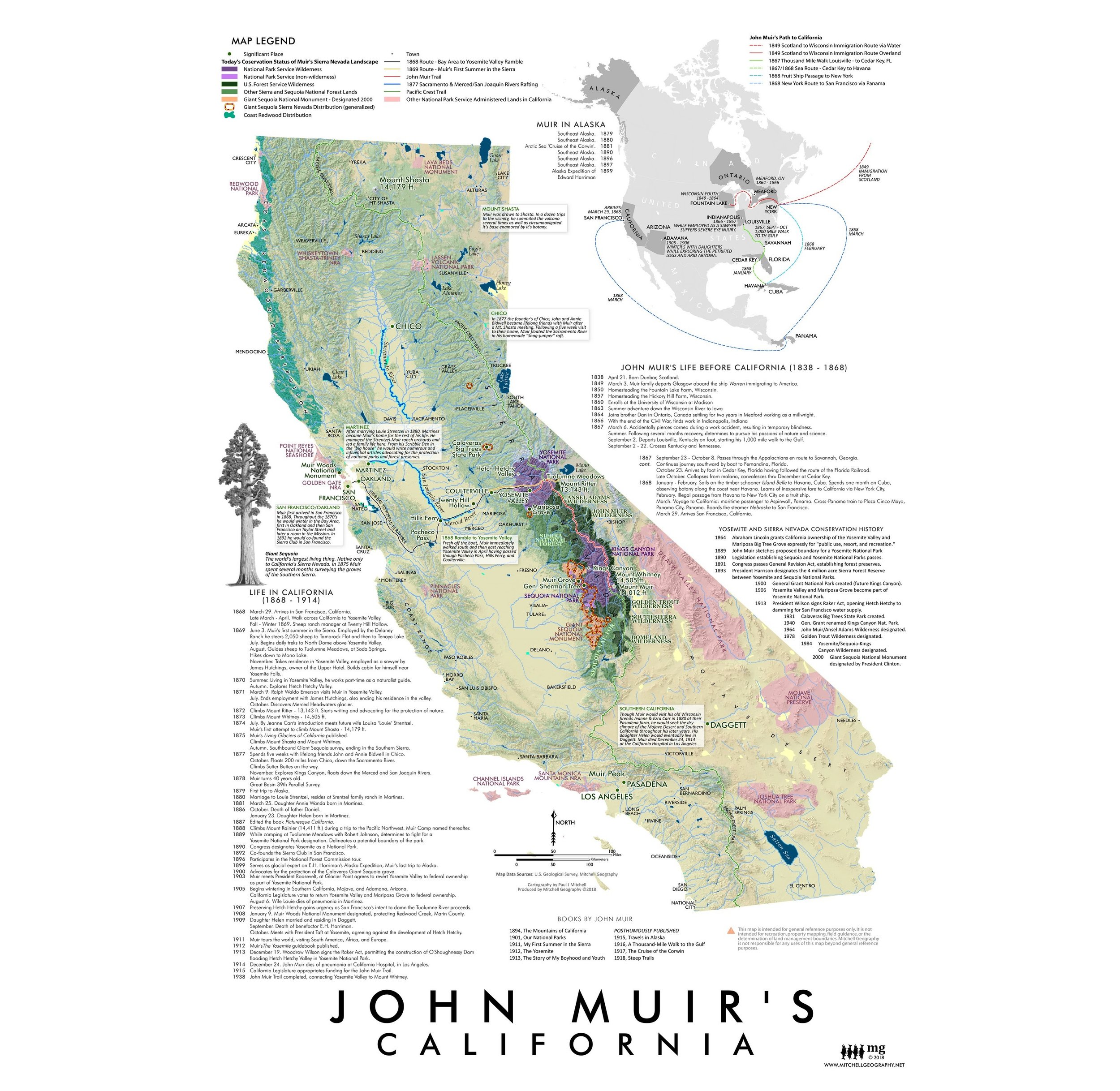
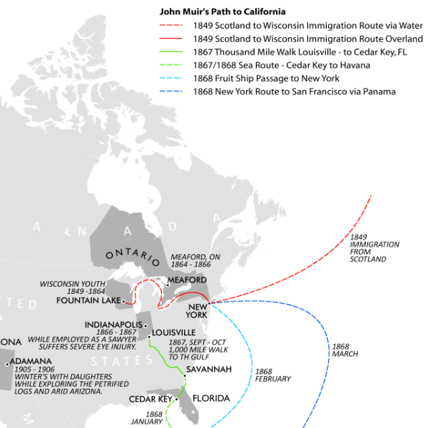
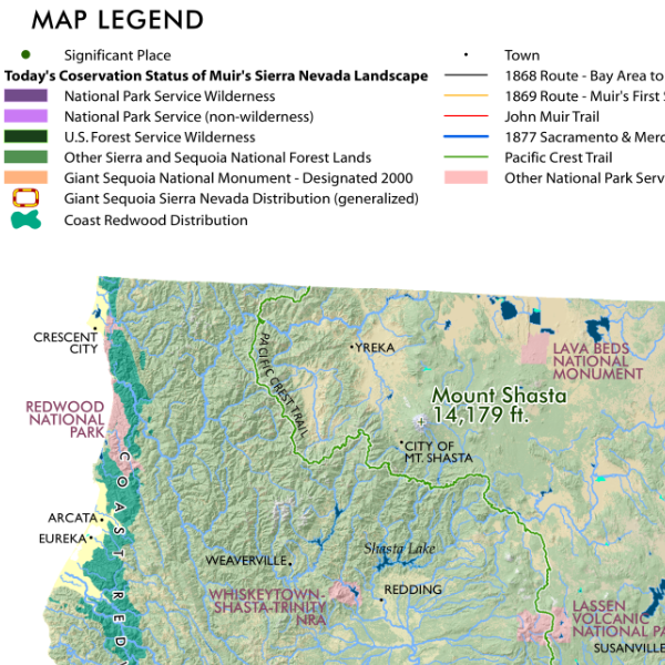
John Muir's California John Muir's California Map John Muir's California Map John Muir's California Map John Muir's California Map
John Muir's California
from $24.00
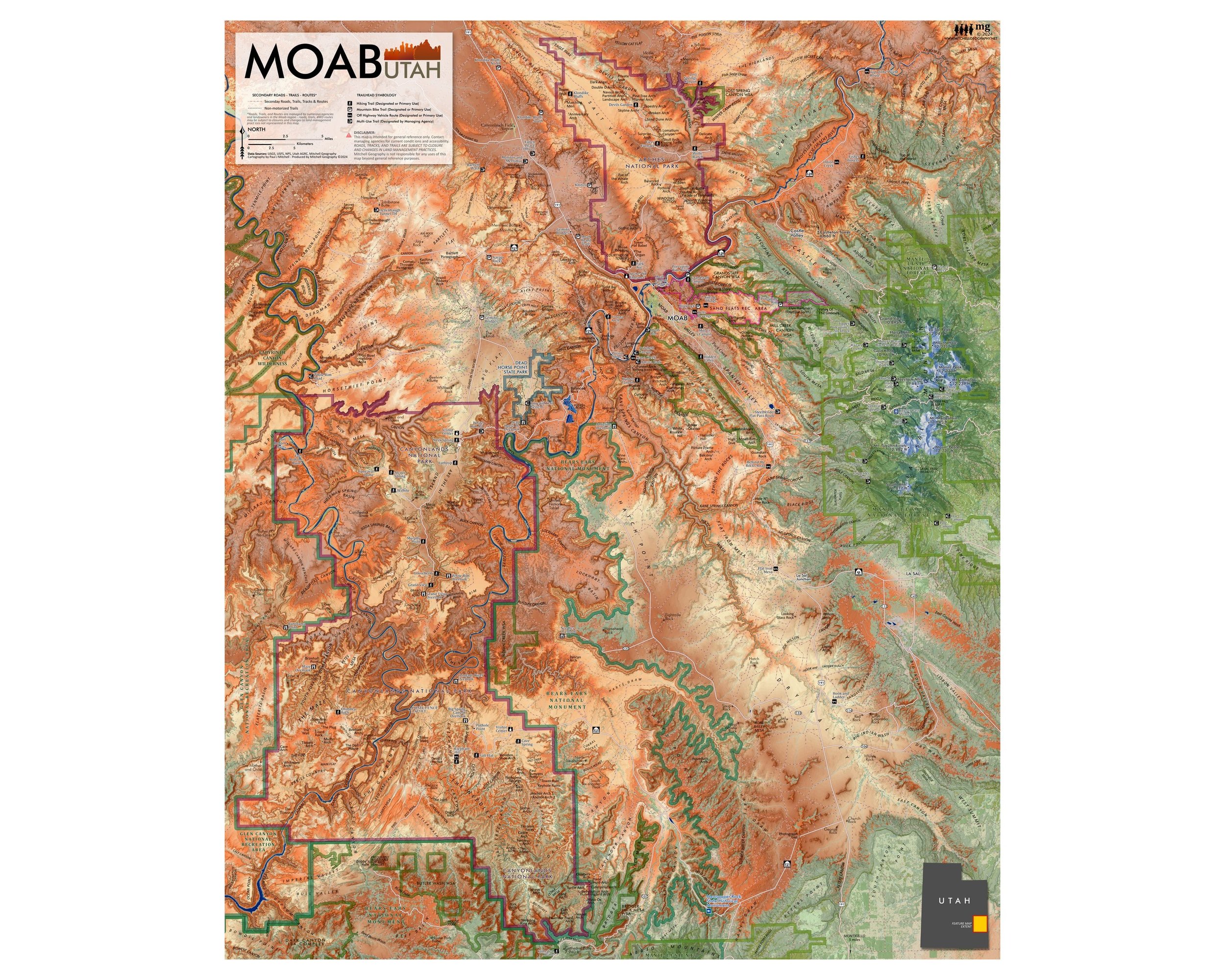
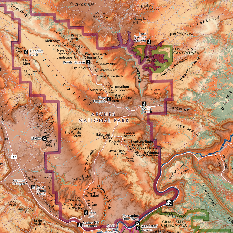
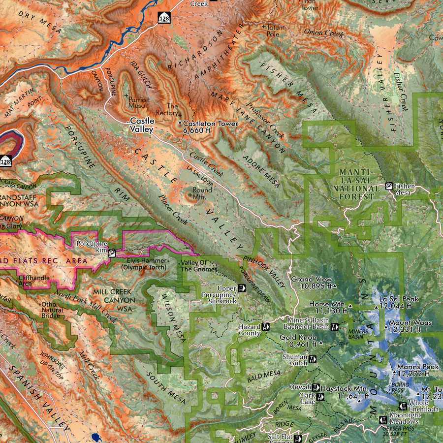
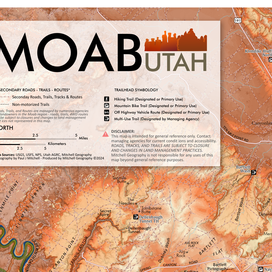
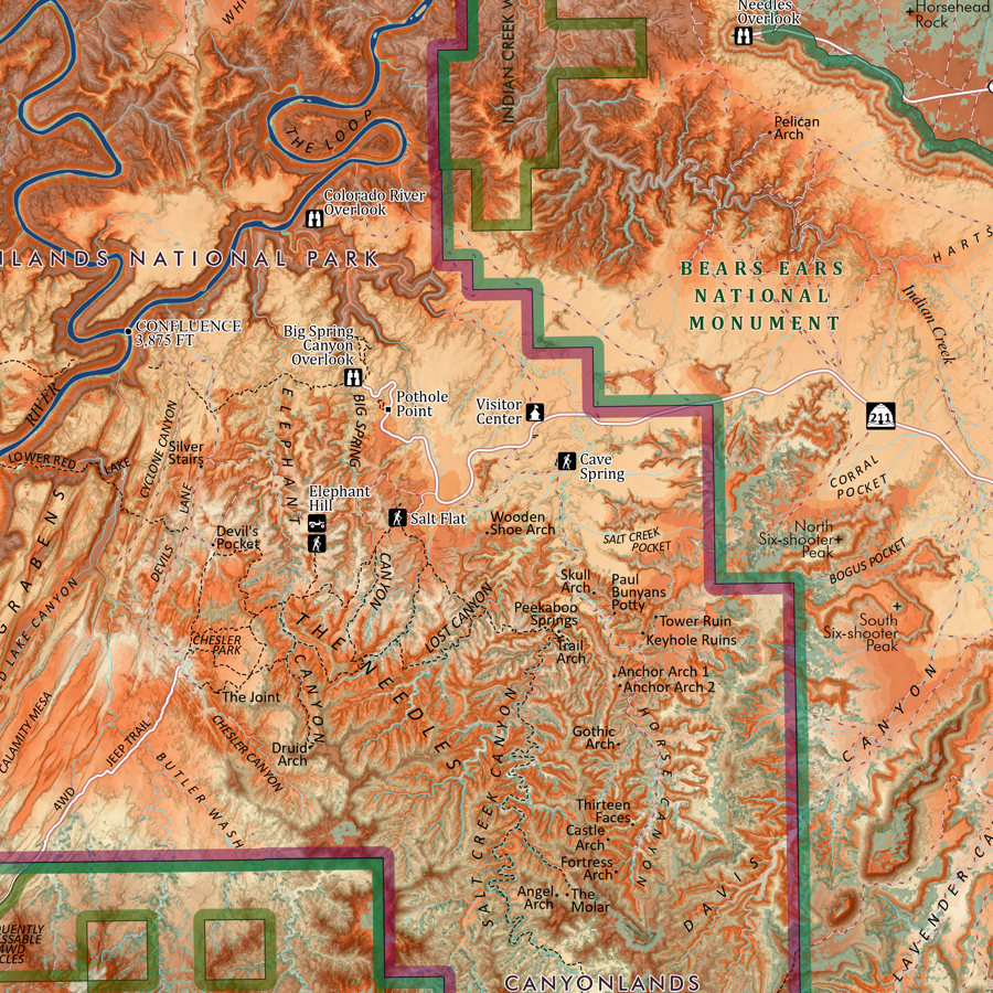
Moab Utah (24 in x 20 in) Map Moab Utah Arches Canyonlands National Park Map Moab Utah Arches Canyonlands National Park Map Moab Utah Arches Canyonlands National Park Map Moab Utah Arches Canyonlands National Park Map Moab Utah Arches Canyonlands National Park
Moab Utah (24 in x 20 in)
$34.00
Bridger Range Montana (24 in x 28 in) Bridger Range Montana Map Bridger Range Montana Map Bridger Range Montana Map Bridger Range Montana Map
Bridger Range Montana (24 in x 28 in)
$34.00
Sold Out
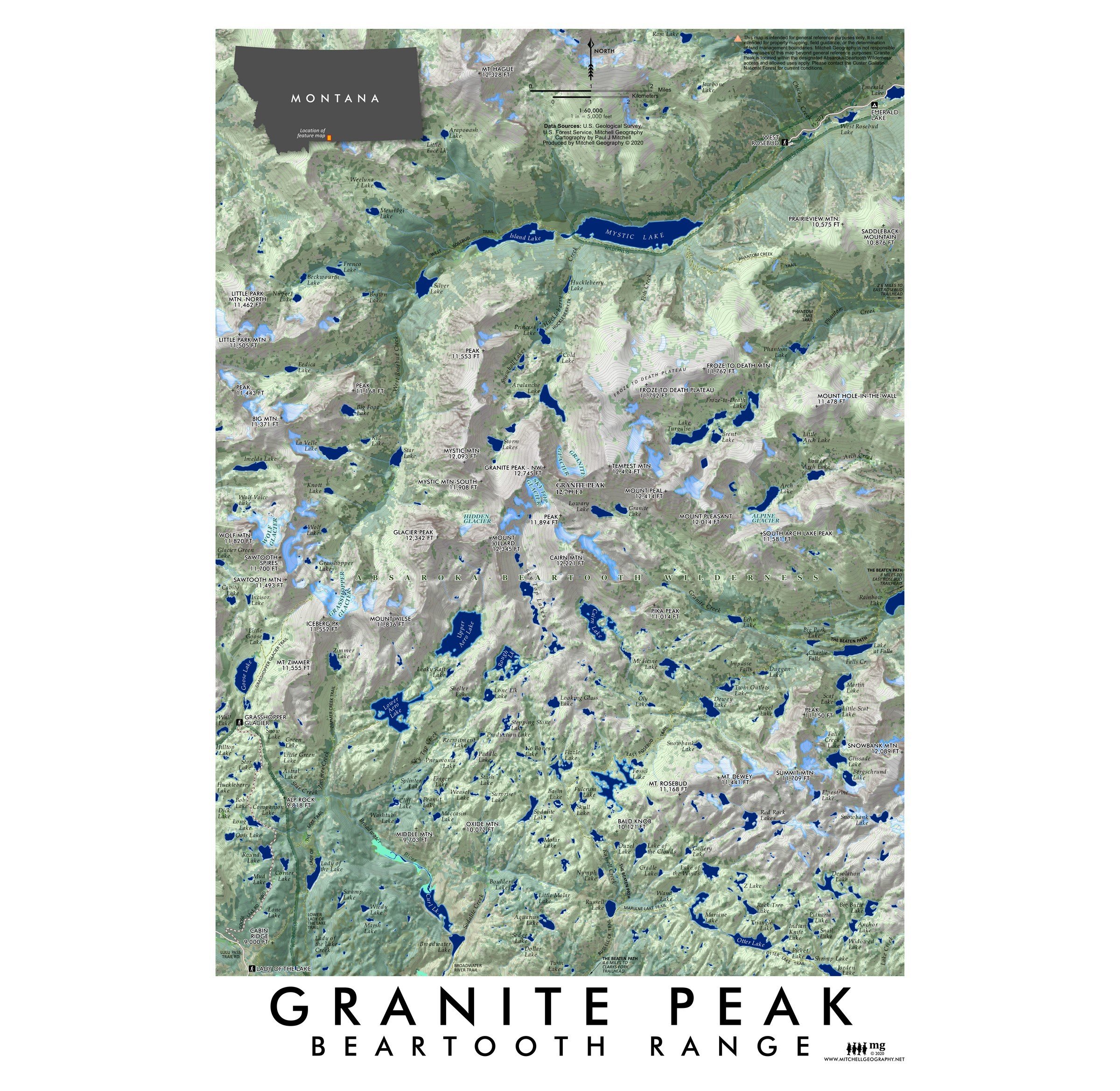
Granite Peak Montana (19 in x13 in) Granite Peak Montana Map Granite Peak Montana Map
Granite Peak Montana (19 in x13 in)
$24.00
Greater Yellowstone Wildlands (19 in x 13 in) Greater Yellowstone Map Greater Yellowstone Map
Greater Yellowstone Wildlands (19 in x 13 in)
$24.00

© Mitchell Geography 2013 - 2025