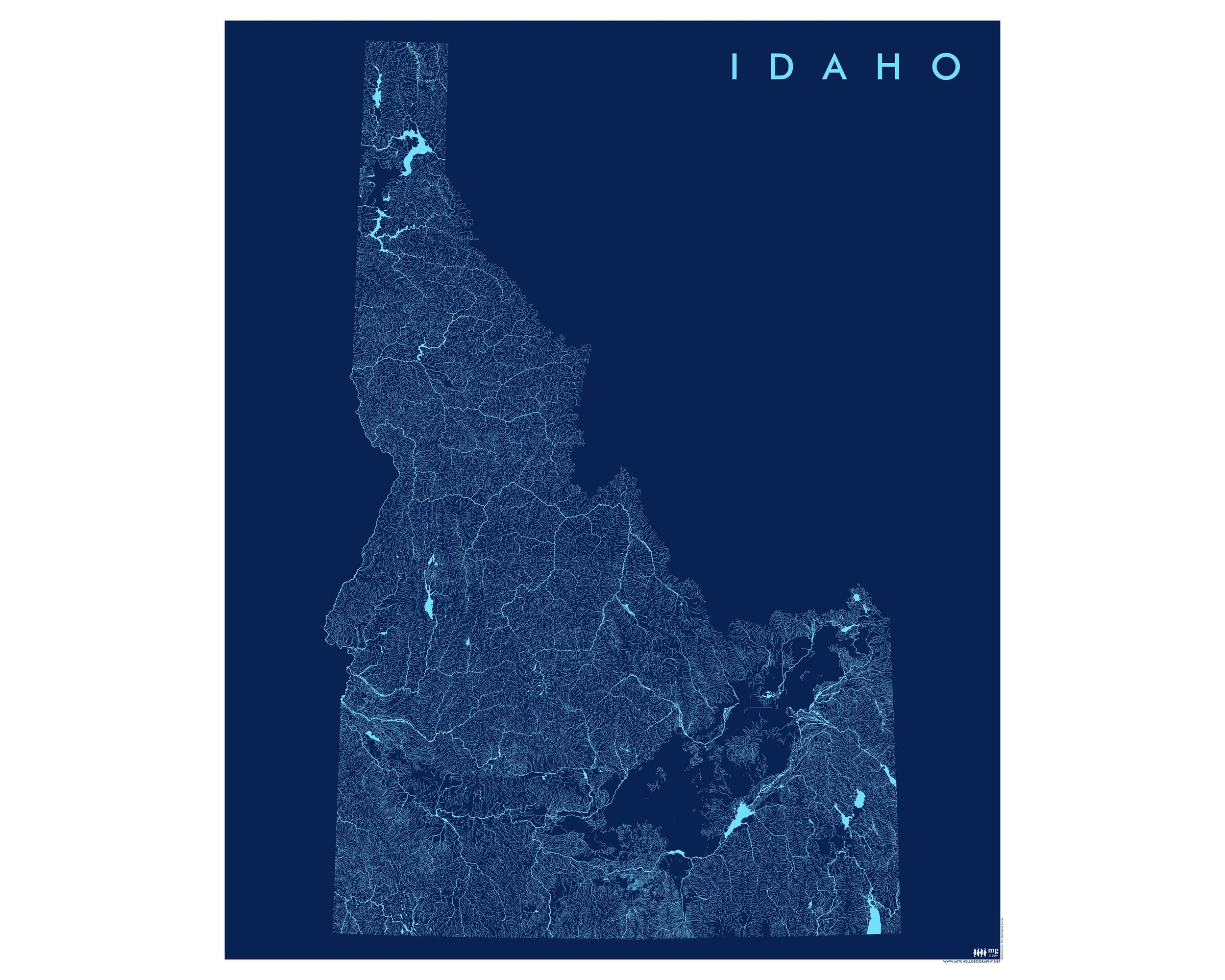
1:1,760,000
13 inch by 19 inch flat COLOR YOUR OWN wall map, printed on 100 lb acid-free eggshell finished cover stock. Packed and shipped flat.
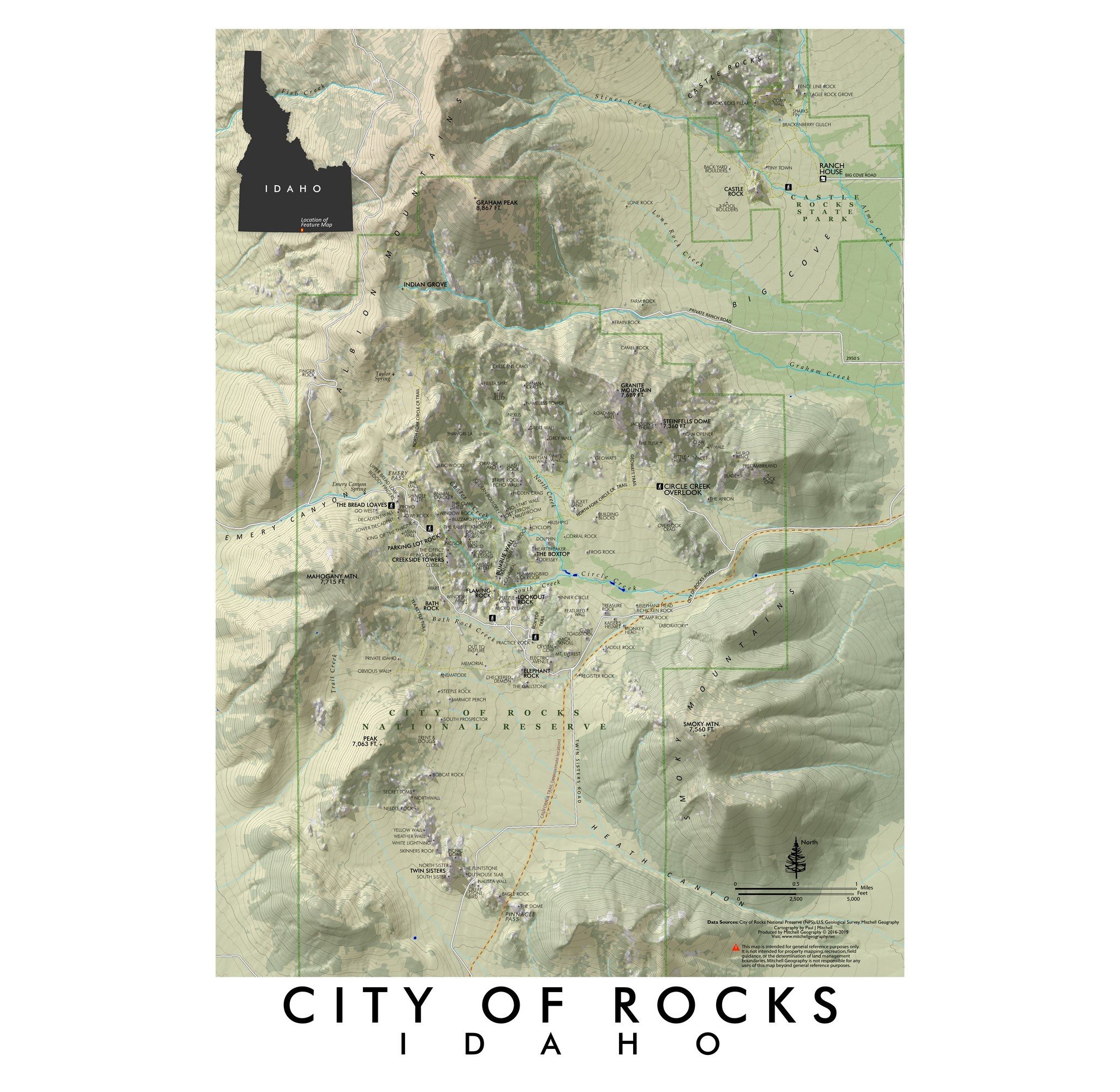
Idaho General Reference COLOR YOUR OWN map*. Ever wanted to make your own map? Challenge yourself by coloring in this blank Idaho general reference map. Precise linework, place names, and point features guide and educate your sense of geography for the state of Idaho. This is an elemental version of my Idaho General Reference Map, which you may also use as a guide to coloring your own map.
Printed on a 100 lb acid-free eggshell finished cover stock - this product is suitable and intended for watercolor, colored pencils, and various forms of markers. The map line work and labels are printed with a toner which will repel water based paints leaving readable labels and features after you’ve painted or colored over the map.
*This product is the paper sheet only. Paint, pencils, markers, etc are not included — you supply your chosen color set!
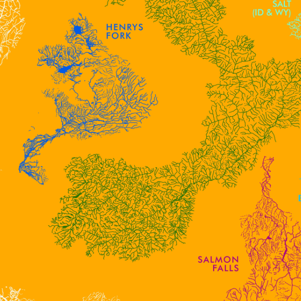
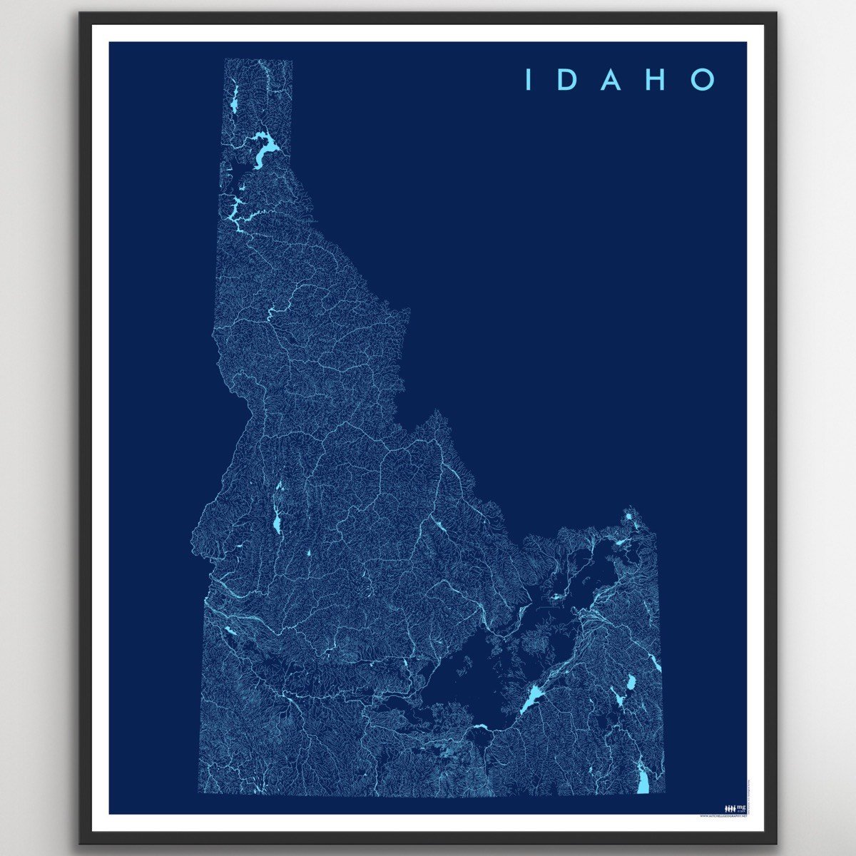
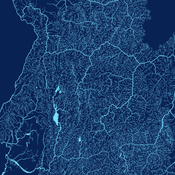
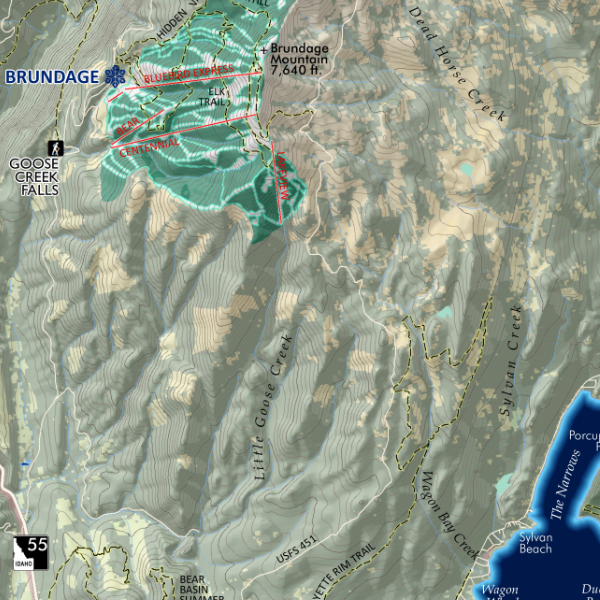
Highways, major roads, surface hydrology and populated places are included for geographic reference.
Additional thematic reference features include:
Idaho Centennial Trail
Special Features of Interest
State Parks
Alpine Ski Areas
Hot Springs
Idaho 12er’s (12,000+ ft peaks) [only Mt Borah is labeled of the 12er’s
NPS Units
USFS National Forest Administrative Areas
Federal Wilderness (USFS, NPS, BLM)
Birds of Prey National Conservation Area
Military Lands
DOE Lands (INL)
Reservations
1:1,760,000
13 inch by 19 inch flat COLOR YOUR OWN wall map, printed on 100 lb acid-free eggshell finished cover stock. Packed and shipped flat.
Idaho General Reference COLOR YOUR OWN map*. Ever wanted to make your own map? Challenge yourself by coloring in this blank Idaho general reference map. Precise linework, place names, and point features guide and educate your sense of geography for the state of Idaho. This is an elemental version of my Idaho General Reference Map, which you may also use as a guide to coloring your own map.
Printed on a 100 lb acid-free eggshell finished cover stock - this product is suitable and intended for watercolor, colored pencils, and various forms of markers. The map line work and labels are printed with a toner which will repel water based paints leaving readable labels and features after you’ve painted or colored over the map.
*This product is the paper sheet only. Paint, pencils, markers, etc are not included — you supply your chosen color set!
Highways, major roads, surface hydrology and populated places are included for geographic reference.
Additional thematic reference features include:
Idaho Centennial Trail
Special Features of Interest
State Parks
Alpine Ski Areas
Hot Springs
Idaho 12er’s (12,000+ ft peaks) [only Mt Borah is labeled of the 12er’s
NPS Units
USFS National Forest Administrative Areas
Federal Wilderness (USFS, NPS, BLM)
Birds of Prey National Conservation Area
Military Lands
DOE Lands (INL)
Reservations

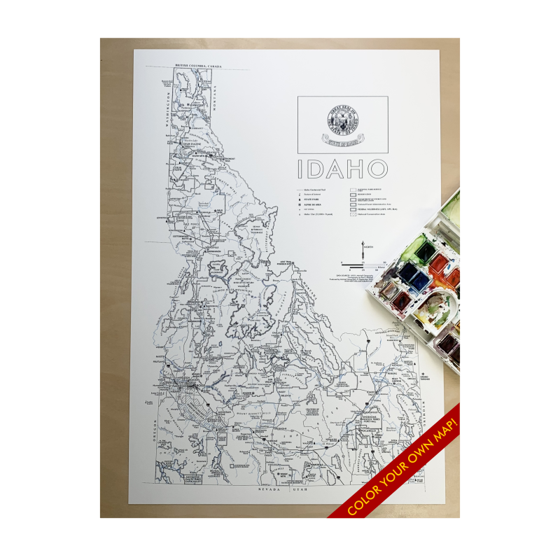 Image 1 of 8
 Image 2 of 8
 Image 3 of 8
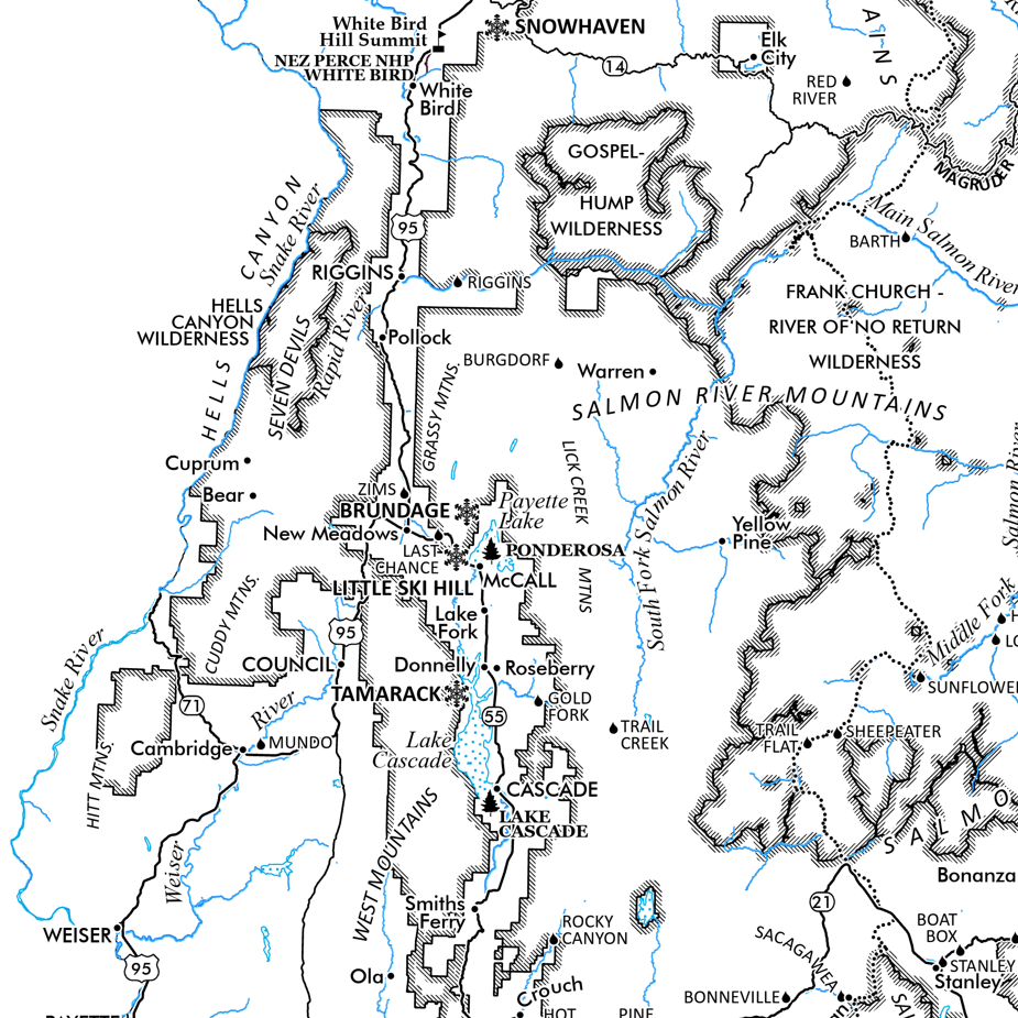 Image 4 of 8
 Image 5 of 8
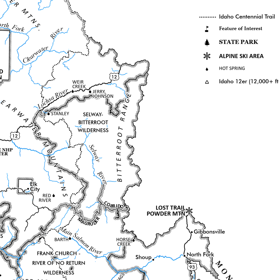 Image 6 of 8
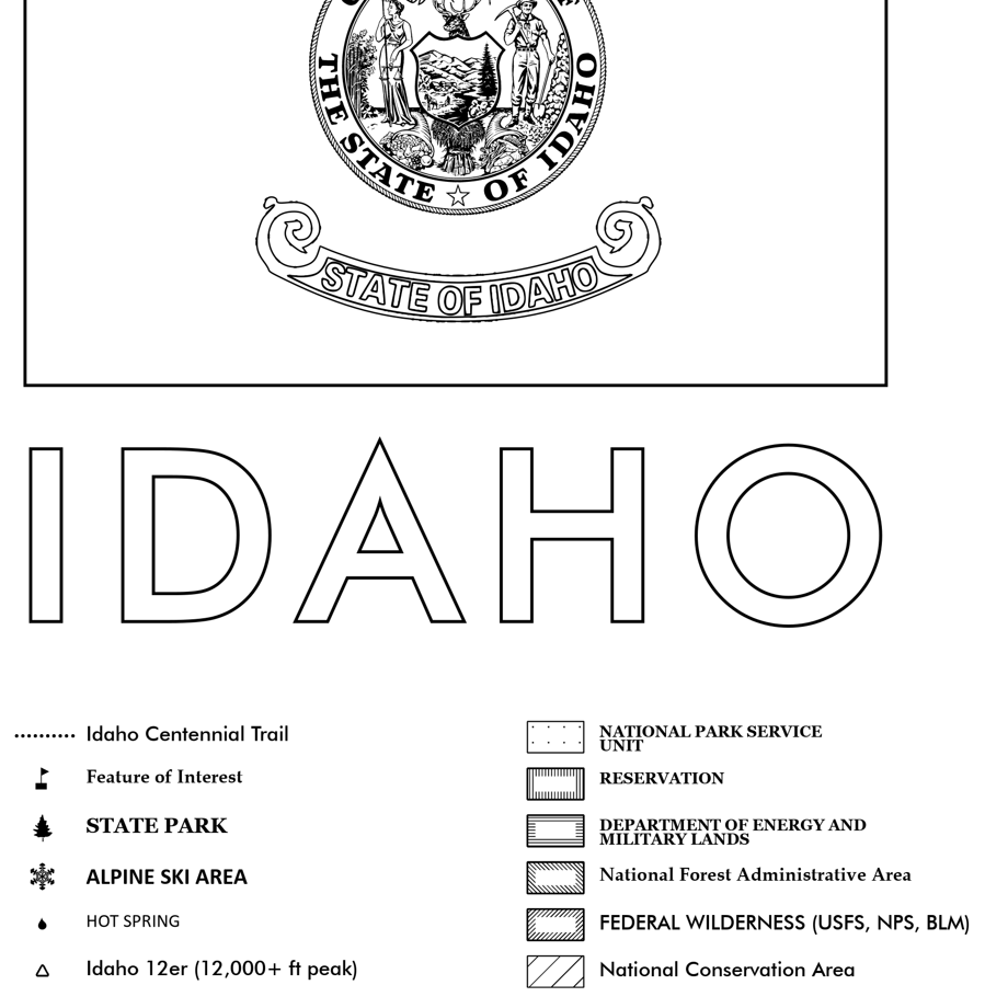 Image 7 of 8
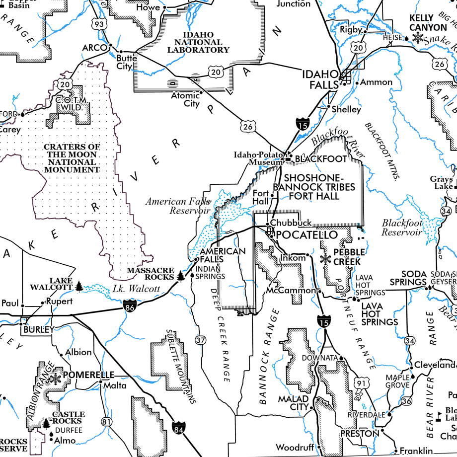 Image 8 of 8