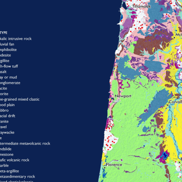
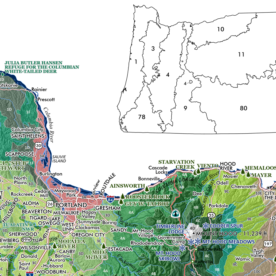
Image 1 of 5
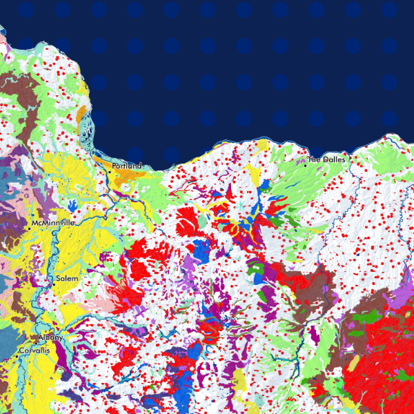
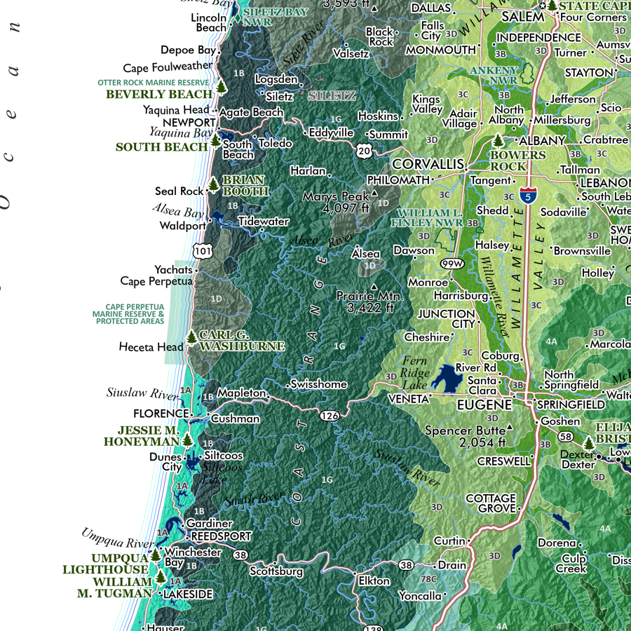
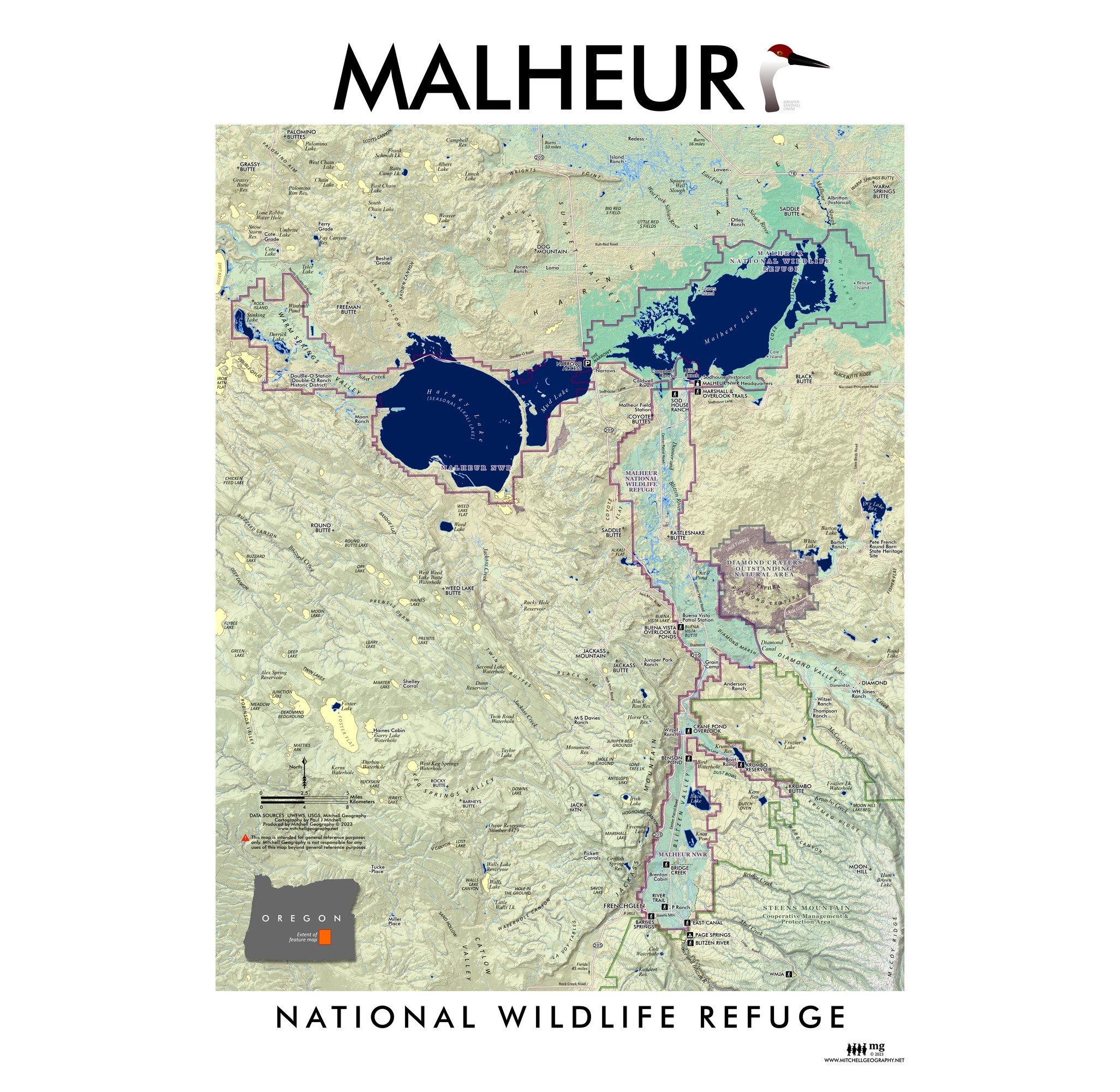 Image 2 of 5
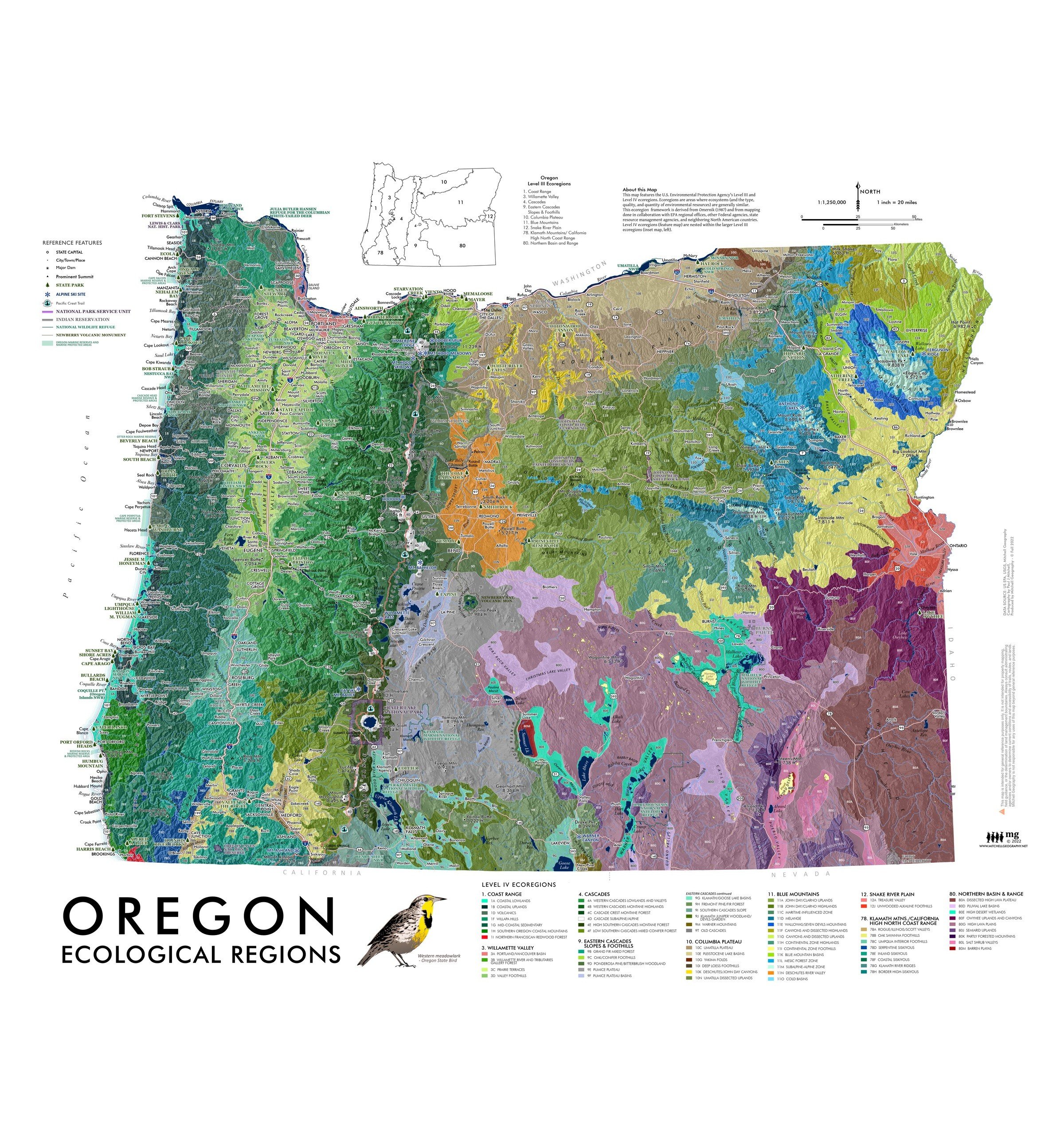
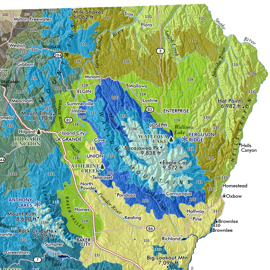
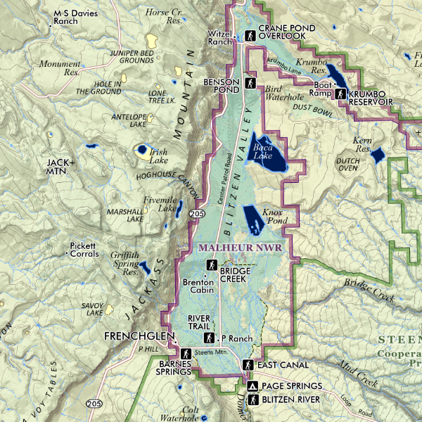 Image 3 of 5
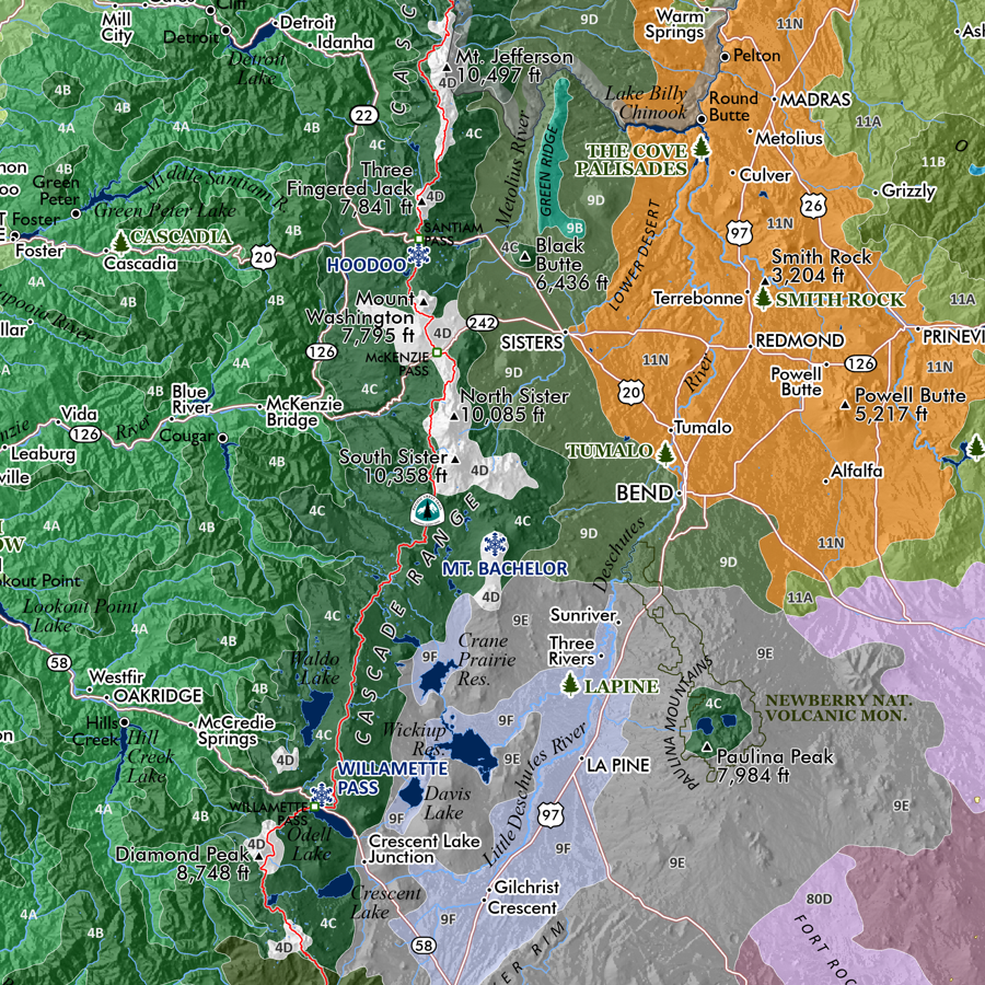
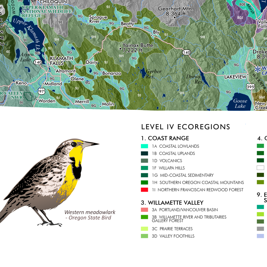
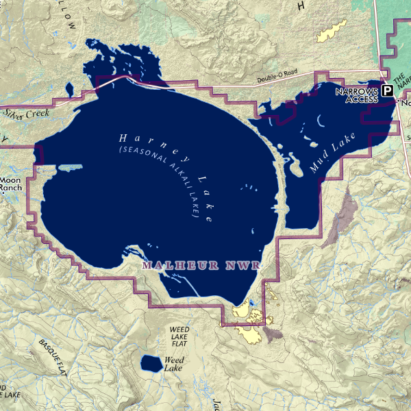 Image 4 of 5
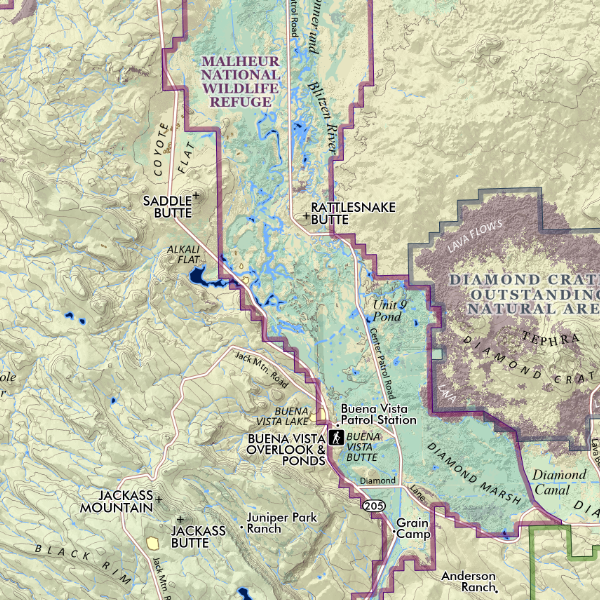 Image 5 of 5
1:210,000
13 inch by 19 inch flat wall map, printed on heavy fine paper. Packed and shipped flat.
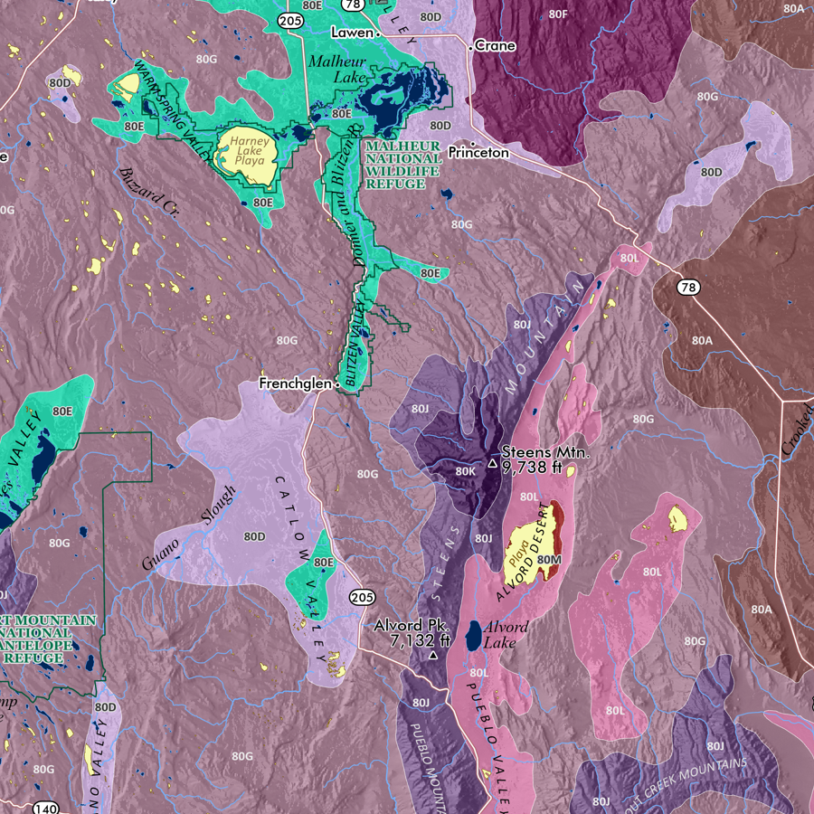
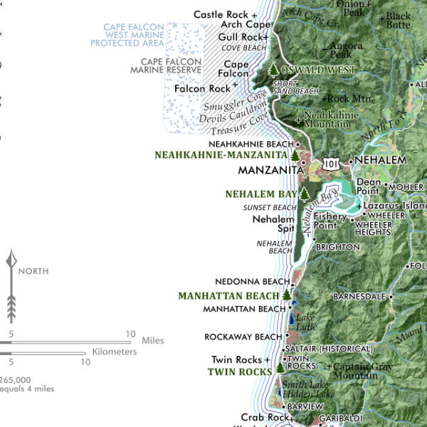
Malheur National Wildlife Refuge, Eastern Oregon. Reference features include primary roads, boundaries of the NWR, adjacent Diamond Craters Outstanding Natural Area, and a portion of the Steens Mountain Conservation Area and Cooperative Management Area, popular sites/trails, summits, landforms, lakes, plays, valleys, and locales.
1:210,000
13 inch by 19 inch flat wall map, printed on heavy fine paper. Packed and shipped flat.
Malheur National Wildlife Refuge, Eastern Oregon. Reference features include primary roads, boundaries of the NWR, adjacent Diamond Craters Outstanding Natural Area, and a portion of the Steens Mountain Conservation Area and Cooperative Management Area, popular sites/trails, summits, landforms, lakes, plays, valleys, and locales.


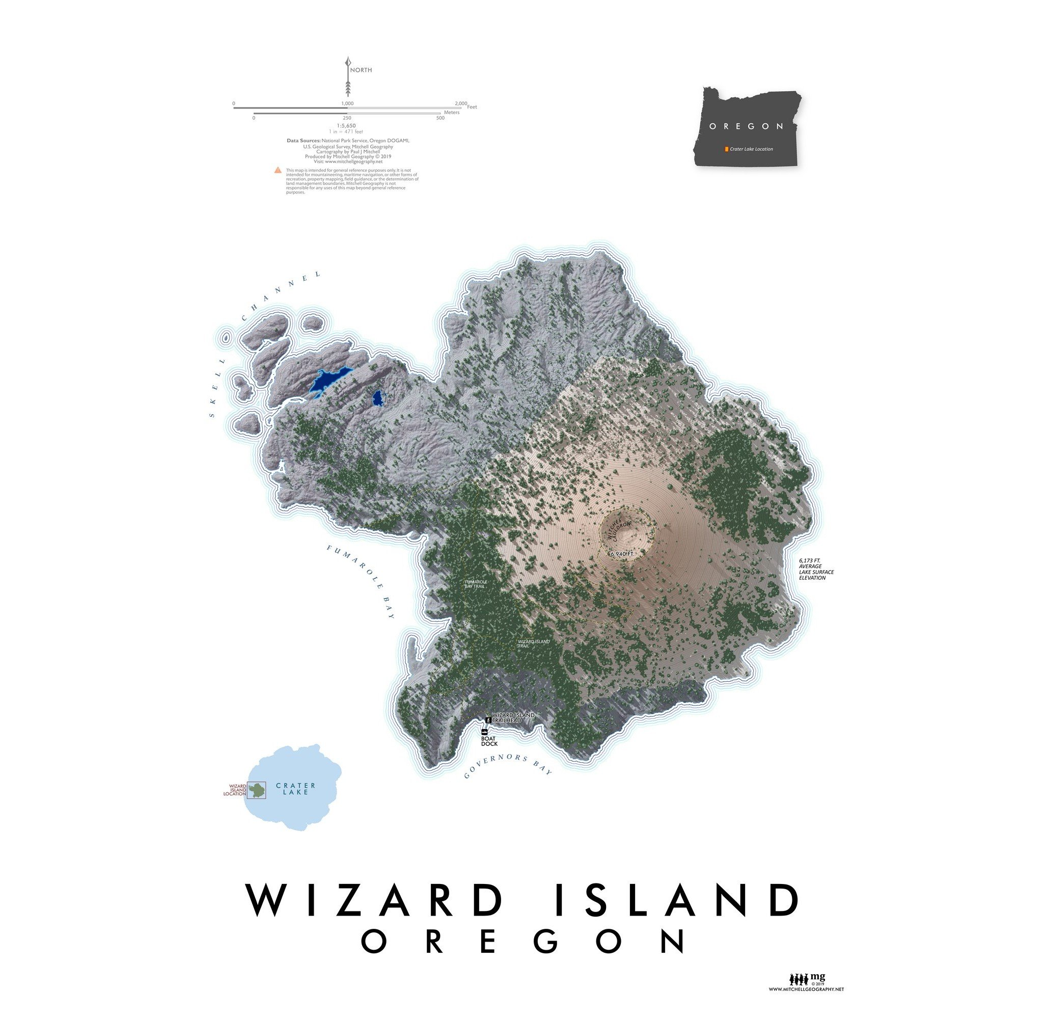
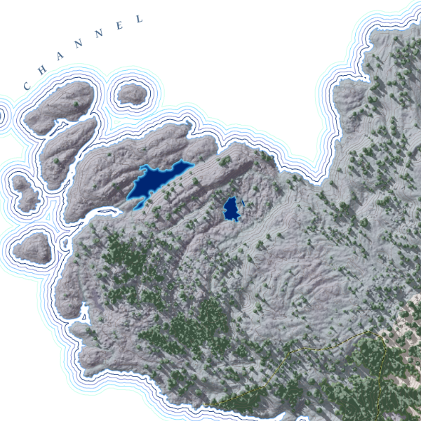
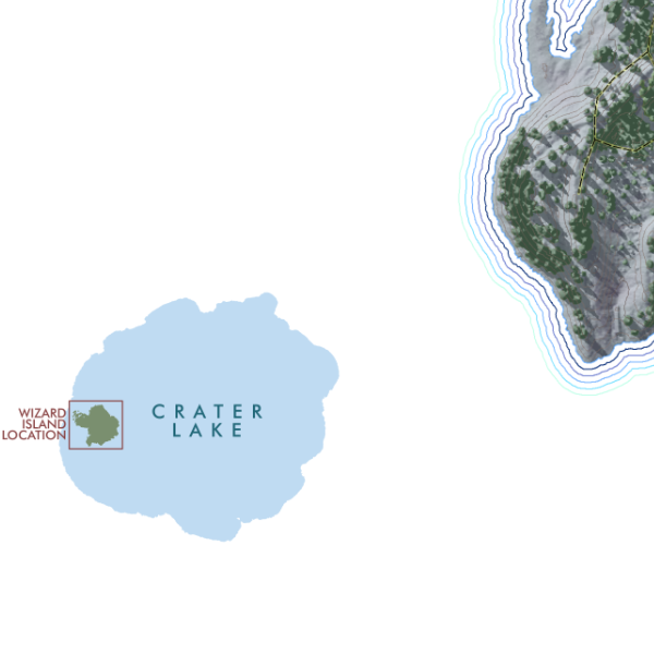
![Wizard Island [Oregon] (19 in x 13 in)](https://images.squarespace-cdn.com/content/v1/64dfe5c447627a1ab4b29d07/1695326300993-0JLTRQOZ5G9JXGTE15L1/WizardIsland1319_framed.JPG)