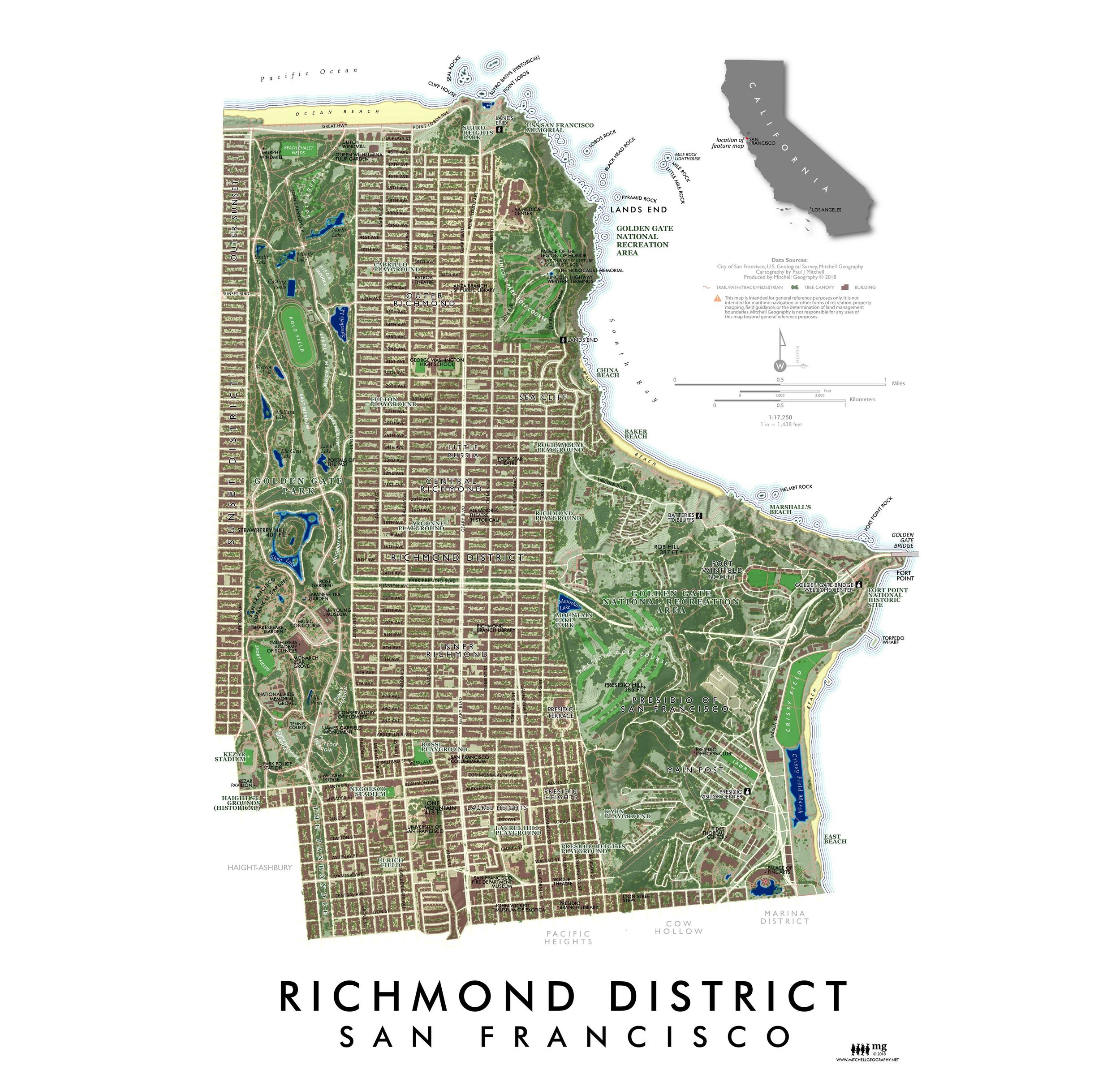
1:118,500
13 inch by 19 inch flat wall map, printed on heavy fine paper. Packed and shipped flat.
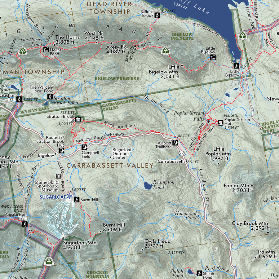
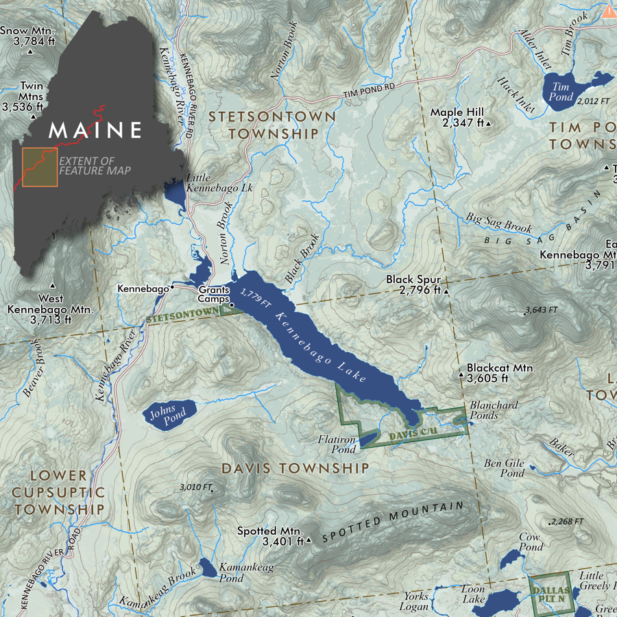
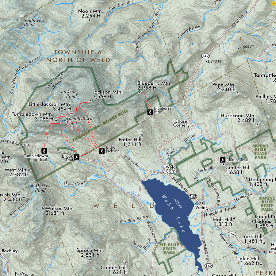
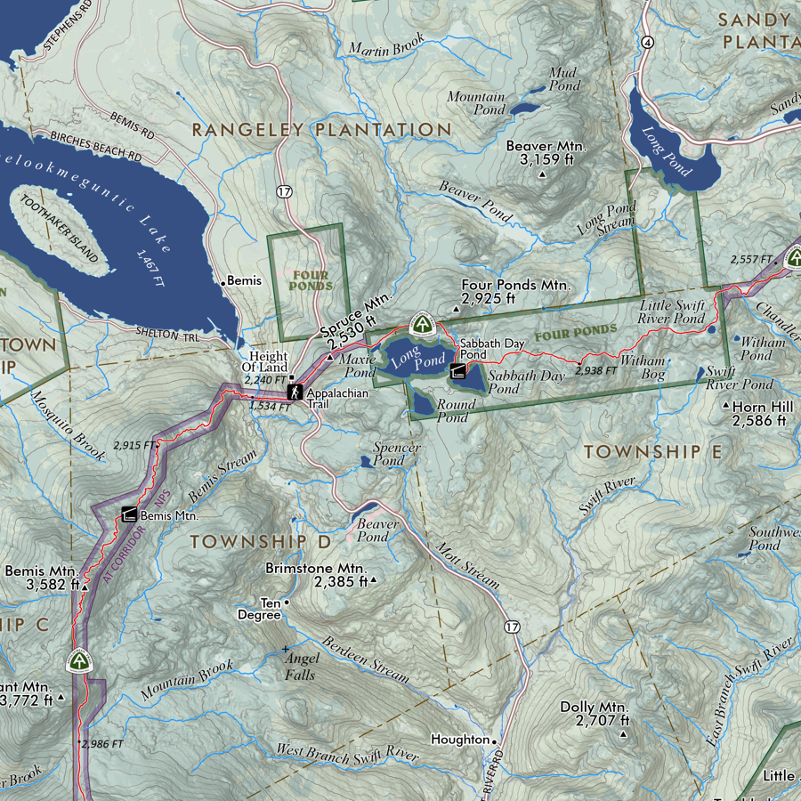
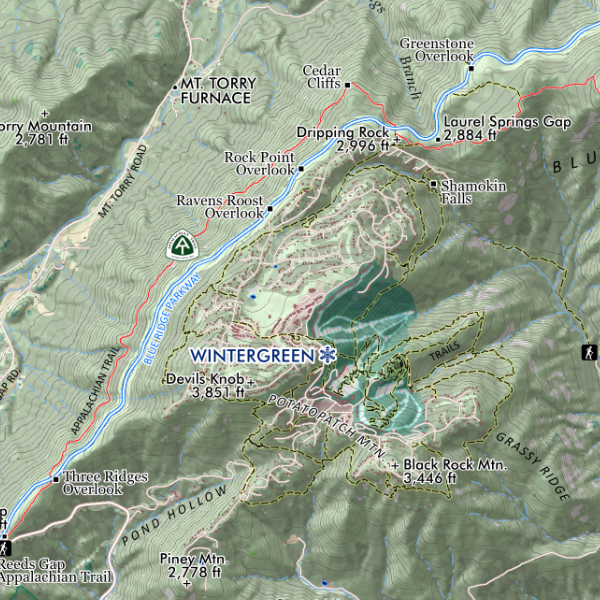
Rocky Mountain National Park, Colorado (RMNP). Feature map of Rocky Mountain National Park. Trailheads, peaks, ridges, glaciers, lakes, rivers and streams are labelled. Most park features such as visitor centers, front country campgrounds, picnic sites, viewpoints, etc. are labelled as scale permits.
Errata: Longs Peak tent camping area located at the Ranger Station of the same name off 7 on the East side of the park is not labelled in the initial printing.
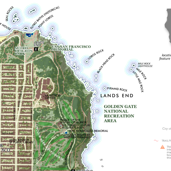
1:118,500
13 inch by 19 inch flat wall map, printed on heavy fine paper. Packed and shipped flat.
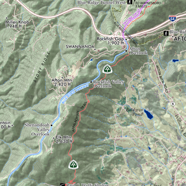
Rocky Mountain National Park, Colorado (RMNP). Feature map of Rocky Mountain National Park. Trailheads, peaks, ridges, glaciers, lakes, rivers and streams are labelled. Most park features such as visitor centers, front country campgrounds, picnic sites, viewpoints, etc. are labelled as scale permits.
Errata: Longs Peak tent camping area located at the Ranger Station of the same name off 7 on the East side of the park is not labelled in the initial printing.

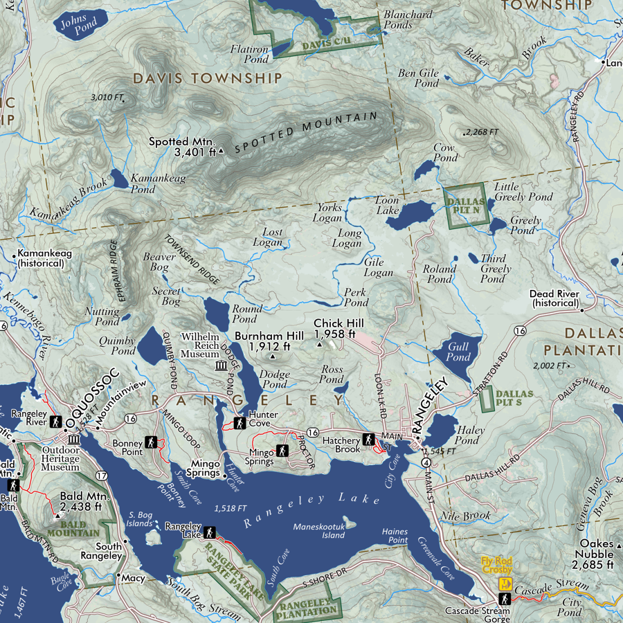
 Image 1 of 3
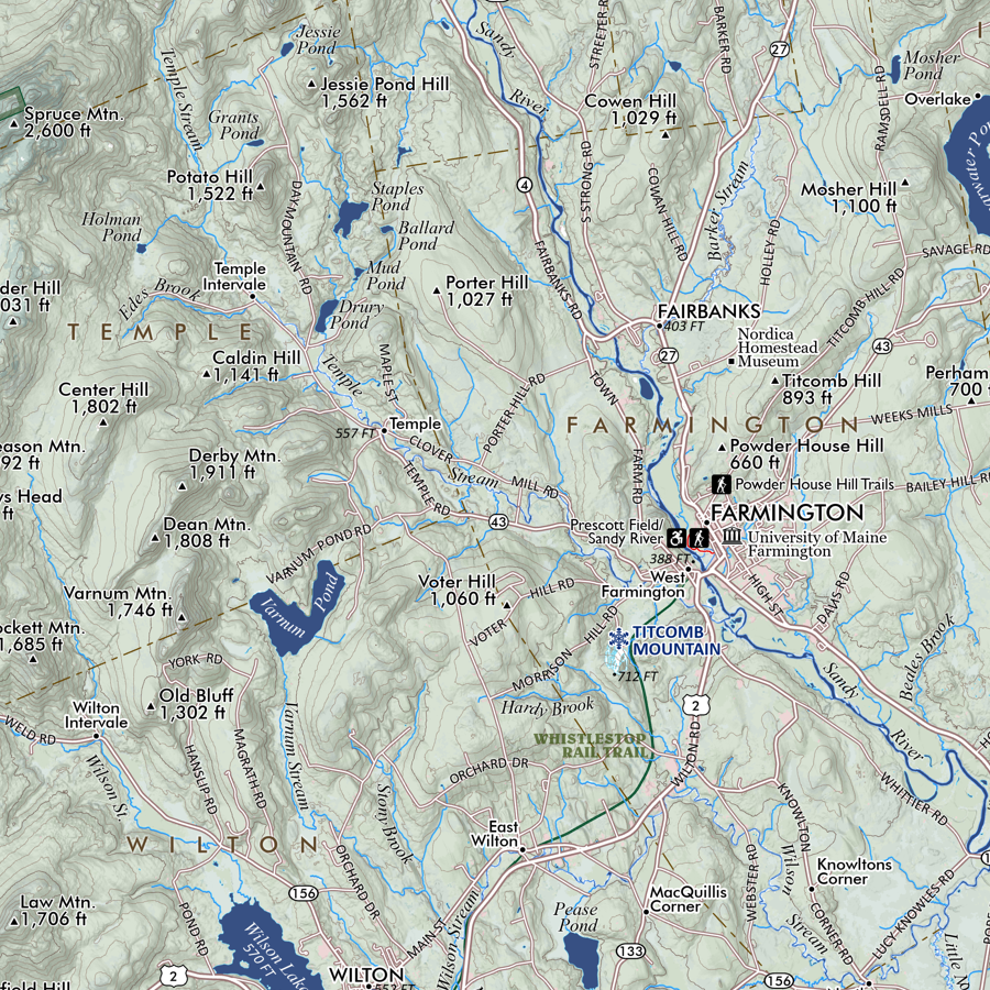
 Image 2 of 3
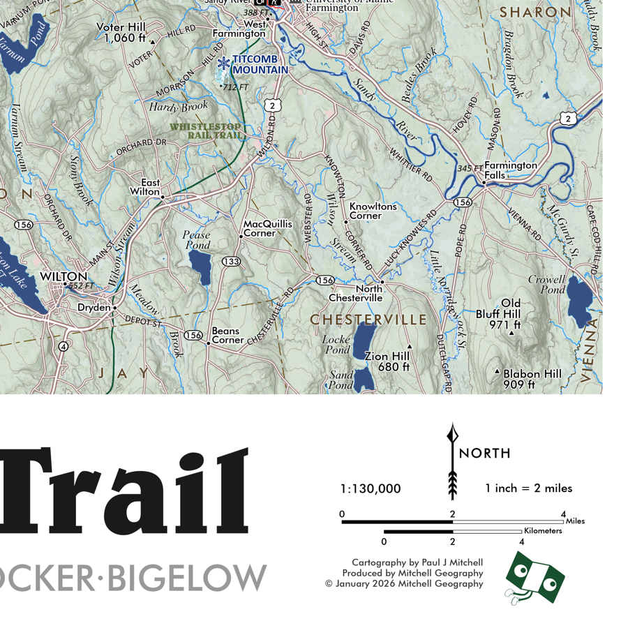
 Image 3 of 3