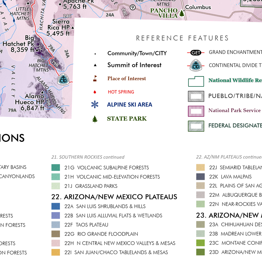
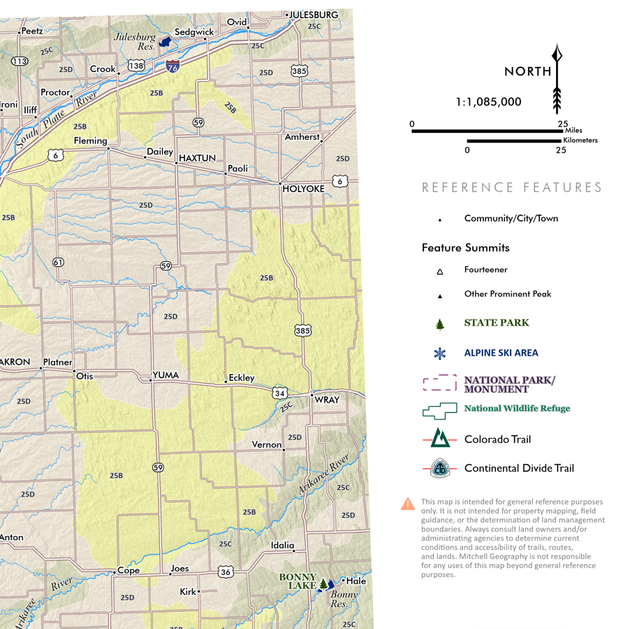
Image 1 of 3
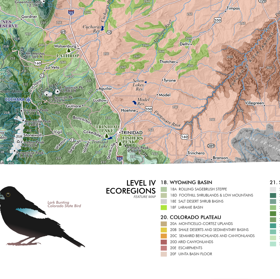
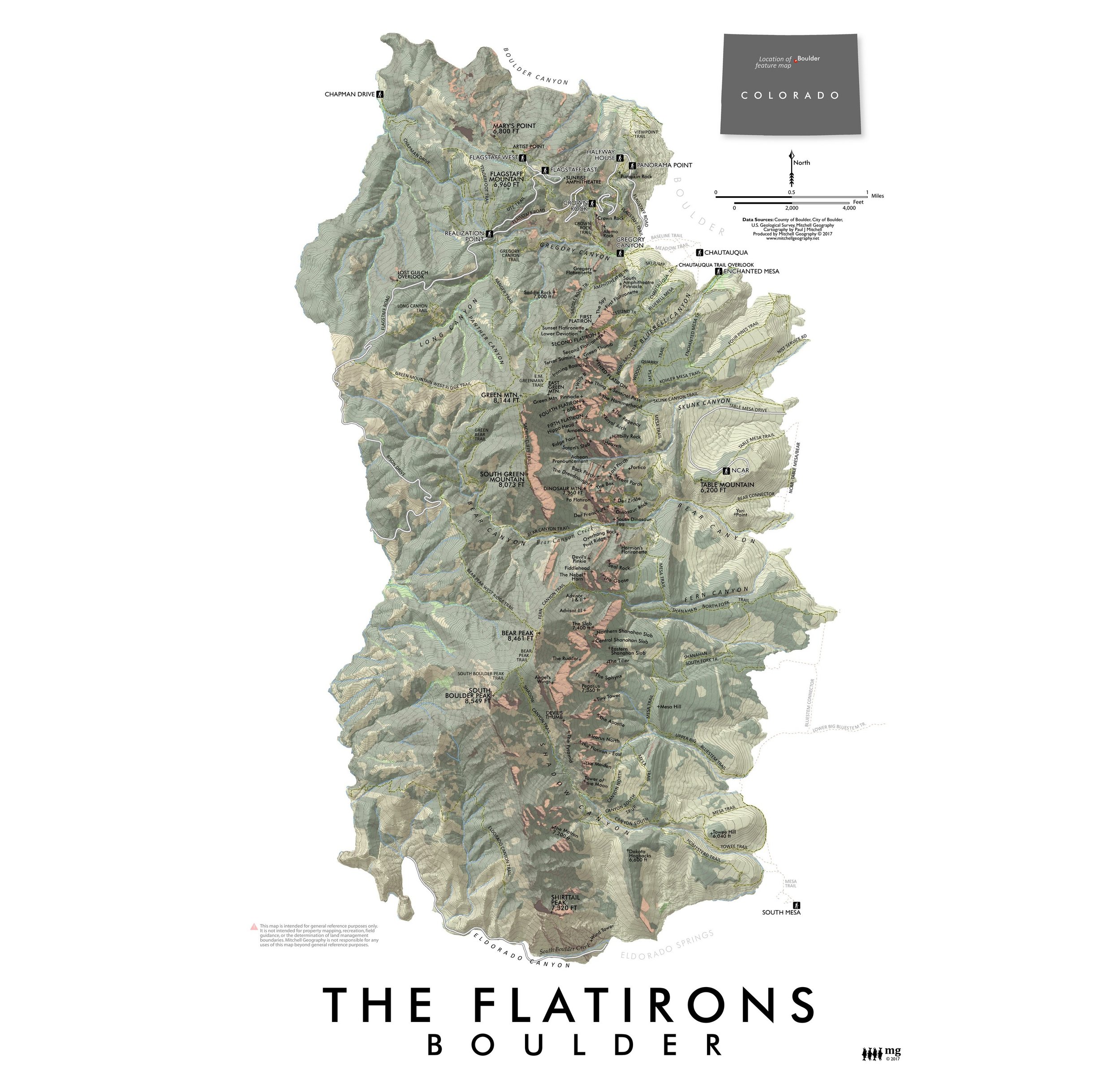 Image 2 of 3
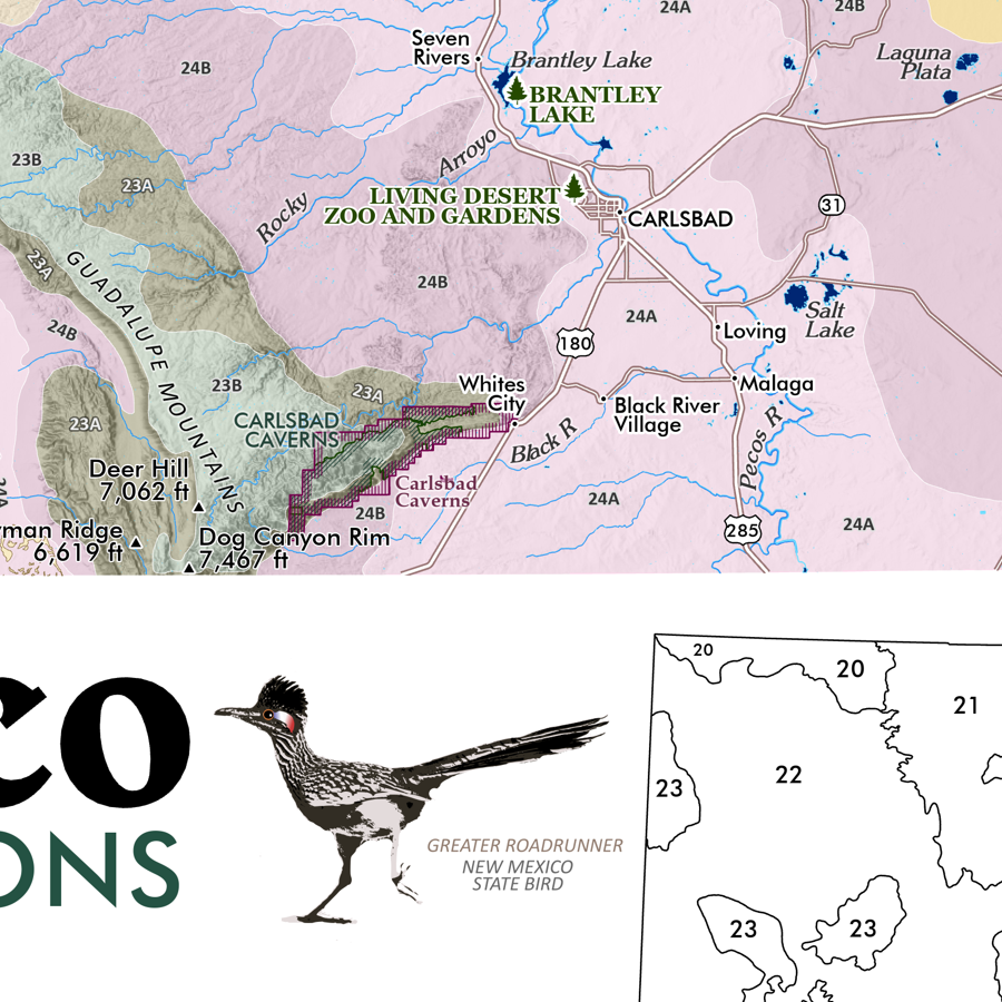
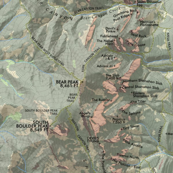 Image 3 of 3
1:24,000
13 inch by 19 inch flat wall map, printed on heavy fine paper. Packed and shipped flat.
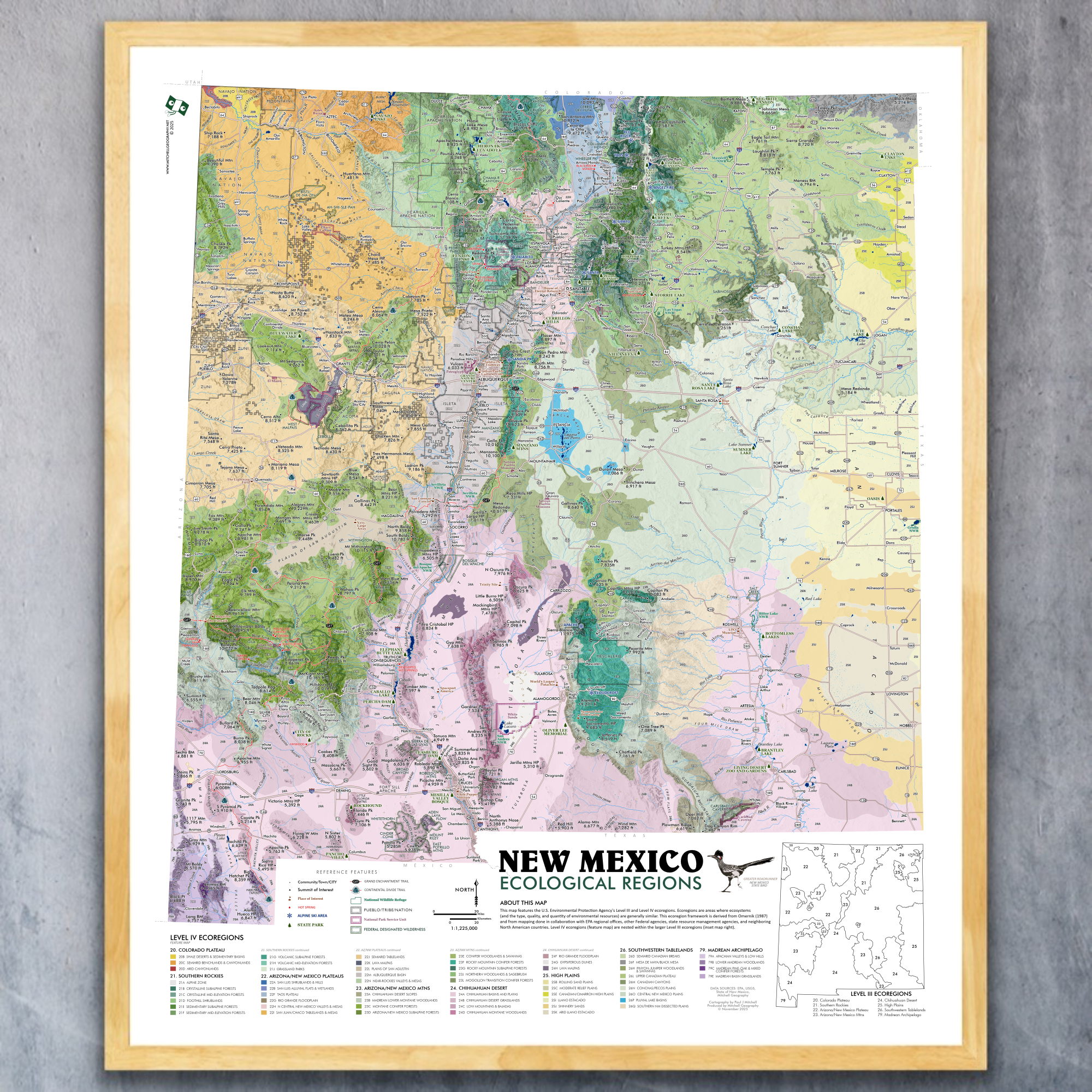
The Flatirons - Boulder, Colorado. Feature landscape map of the Flatirons vicinity from Boulder Canyon in the north to Eldorado Canyon in the South. Map includes immediately adjacent trailheads, trails, named rock features (most of them), and canyons.
*August 2019 update: Chautauqua spelling corrections.
1:24,000
13 inch by 19 inch flat wall map, printed on heavy fine paper. Packed and shipped flat.
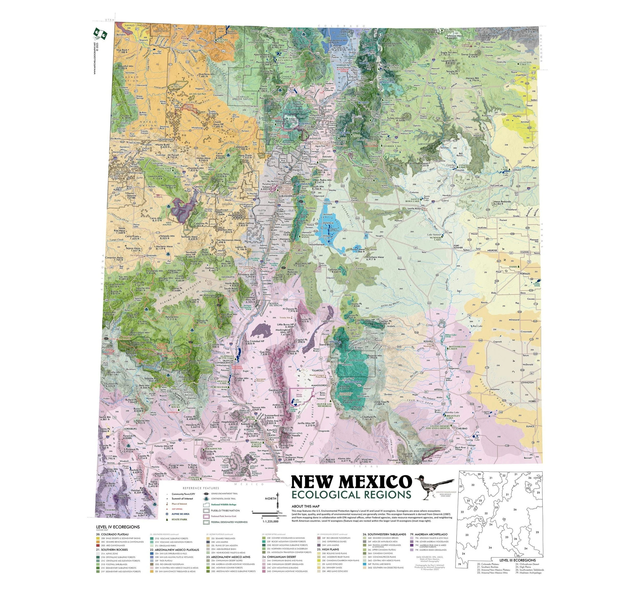
The Flatirons - Boulder, Colorado. Feature landscape map of the Flatirons vicinity from Boulder Canyon in the north to Eldorado Canyon in the South. Map includes immediately adjacent trailheads, trails, named rock features (most of them), and canyons.
*August 2019 update: Chautauqua spelling corrections.