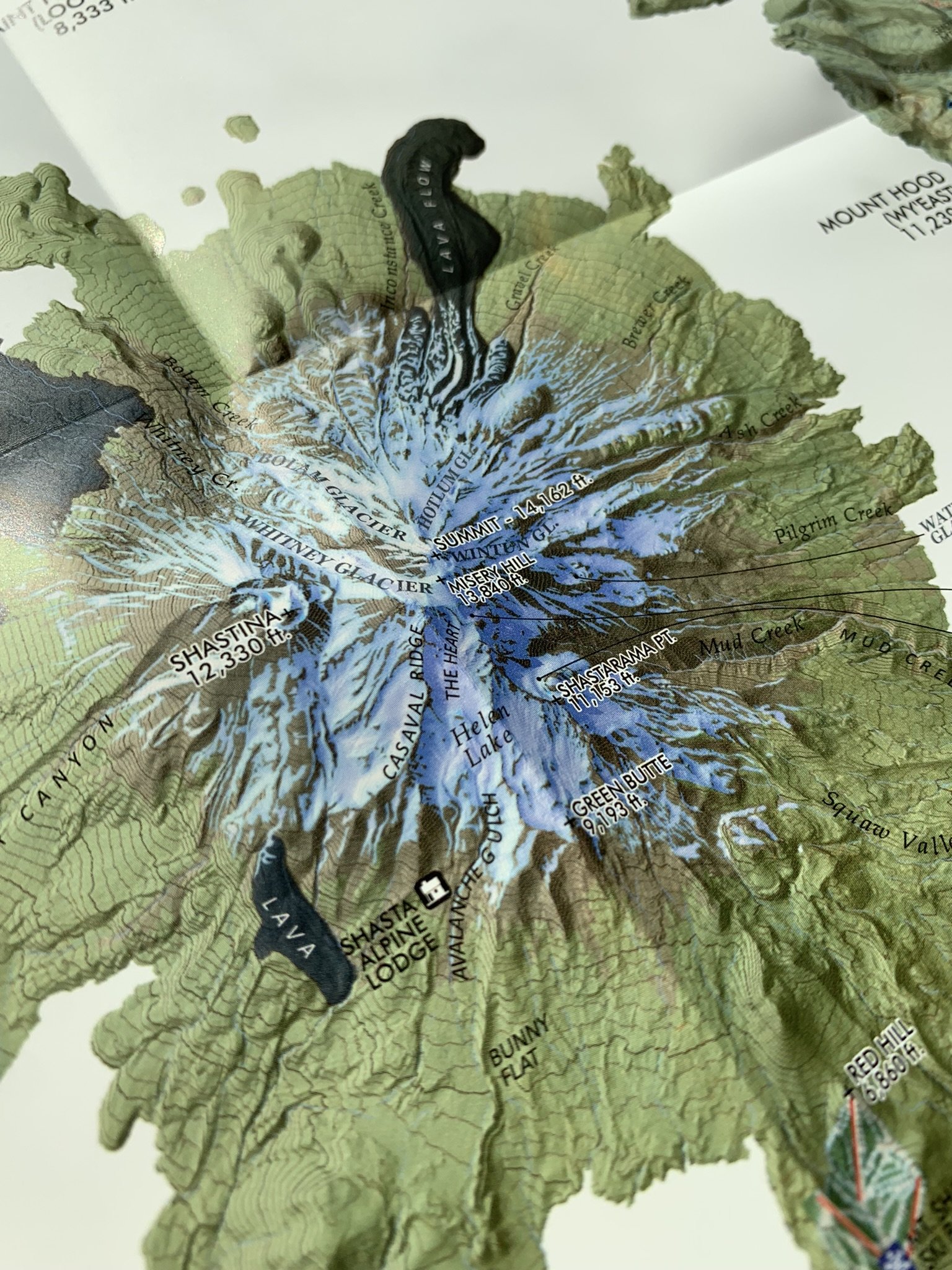
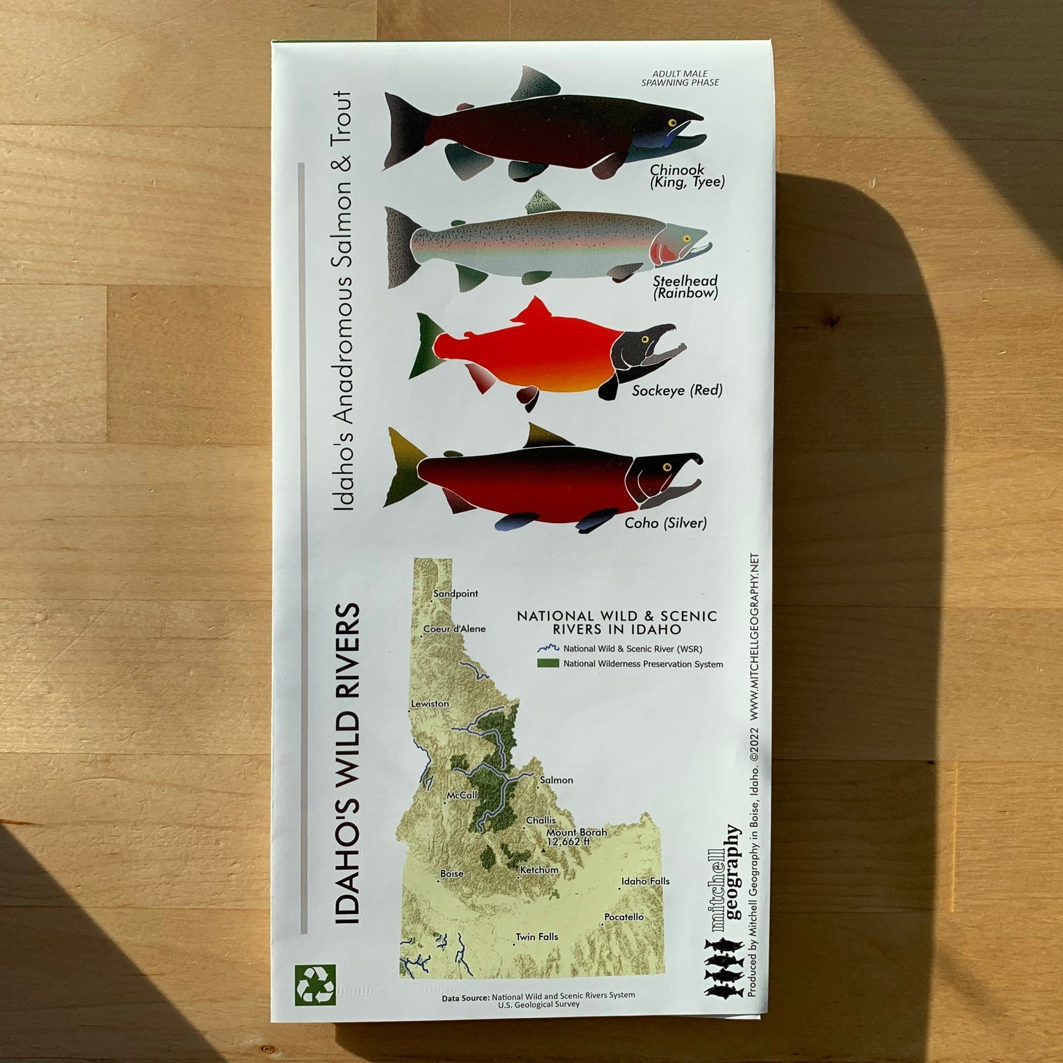
Image 1 of 5
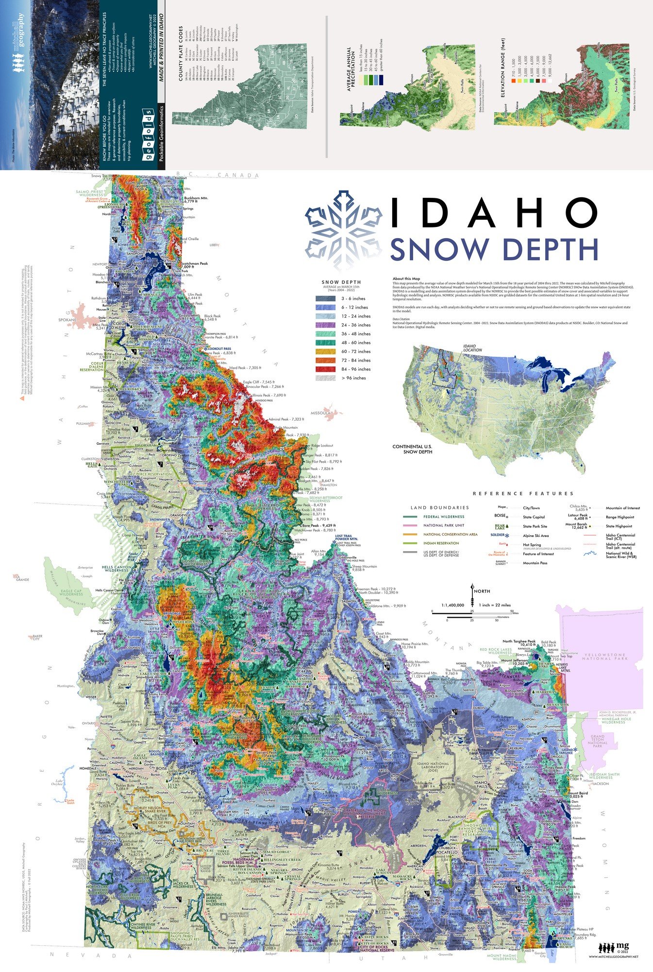
 Image 2 of 5
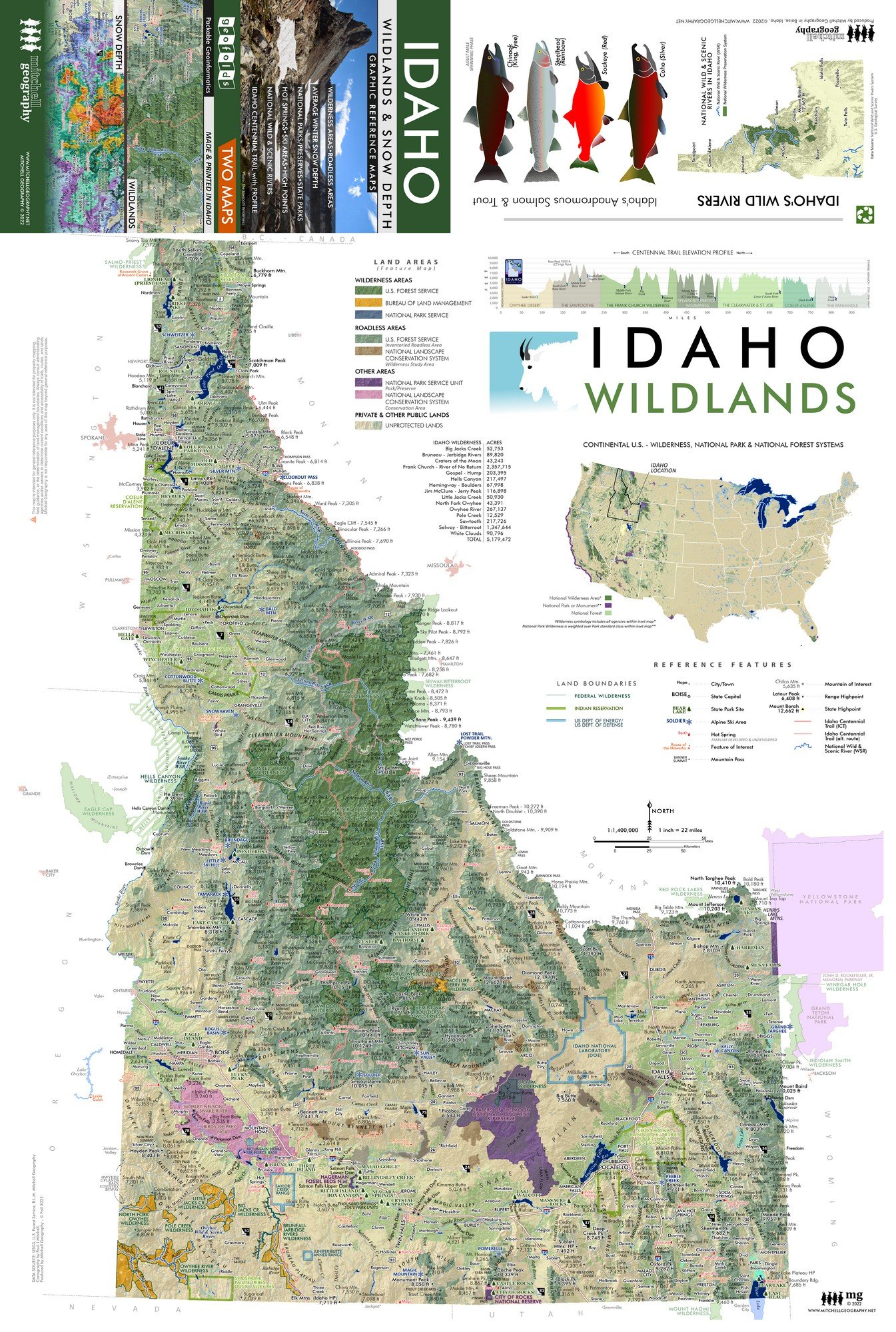
 Image 3 of 5
 Image 4 of 5
 Image 5 of 5
1:85,000
Two sided waterproof and tearproof, lightweight, packable folded map. Printed on French made POLYART biodegradable synthetic paper. Folded 4.5 x 6 inches, unfolded 12 x 18 inches. Shipped in mailer envelope, uninsured, by USPS stamped mail.
San Juan Islands, Washington GEOFOLD. Featuring the islands, rocks, reefs, bays, channels, sounds, capes, and land points, as well as the four lighthouses, larger publicly accessible lands such as state parks and preserves, feature trails , roads, and ferry routes -- this map of Washington State's San Juan Islands was a cartographic labeling challenge! The rich details make for one of my favorite maps.
The full-size 24 x 20 inch flat wall map version is also available. (with enhanced Blender shaded relief)