13 inch by 19 inch flat wall map, printed on heavy fine paper. Packed and shipped flat.
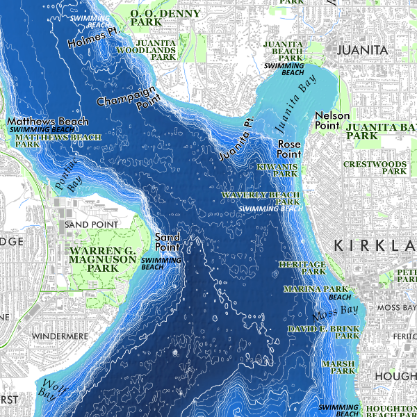
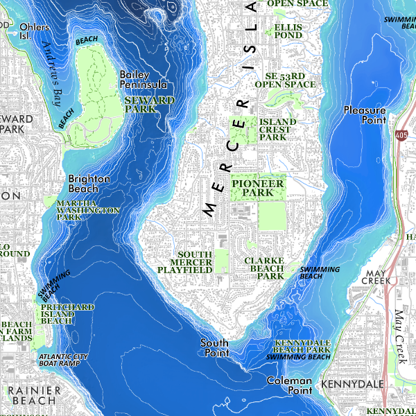
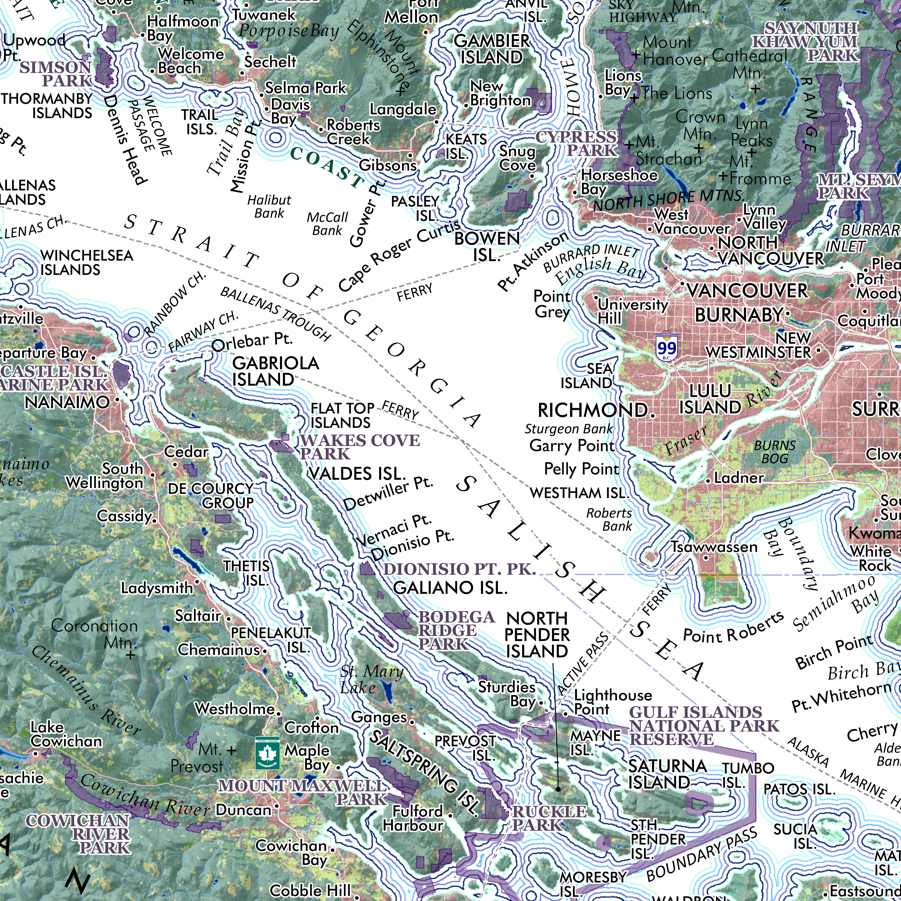
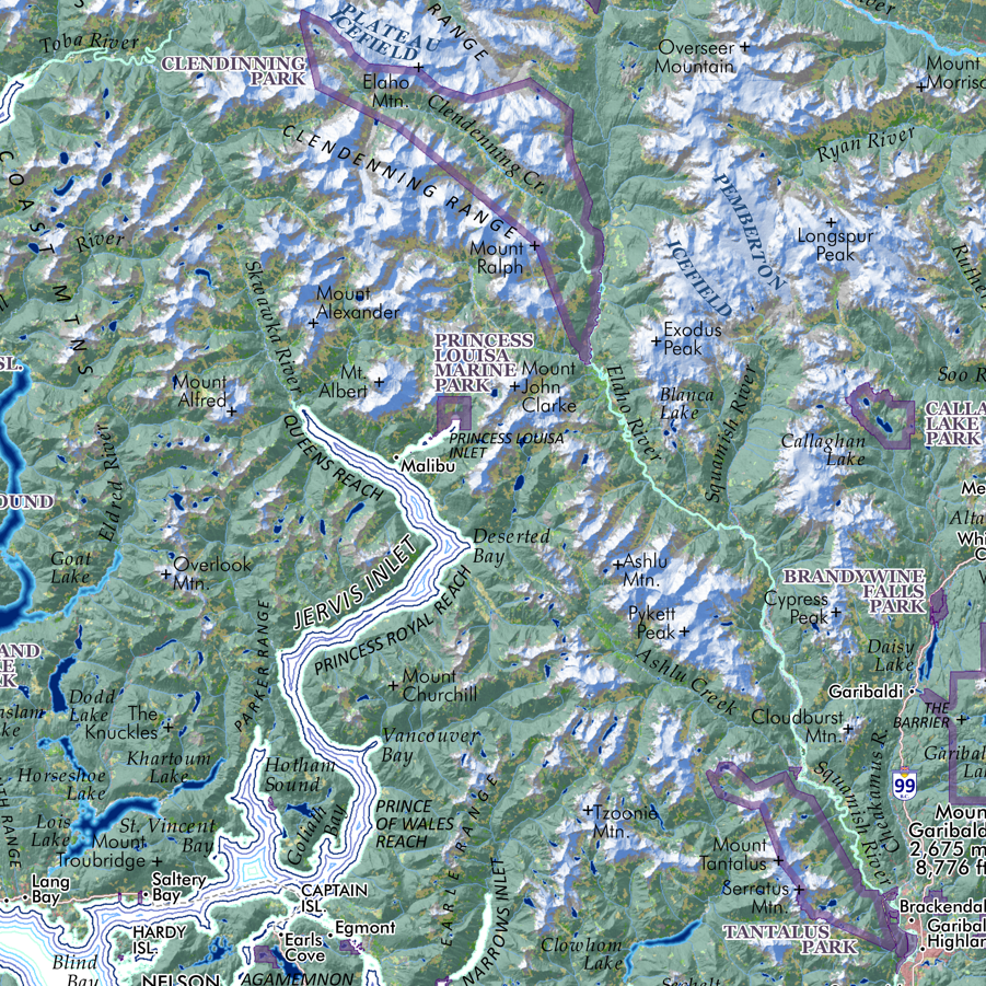
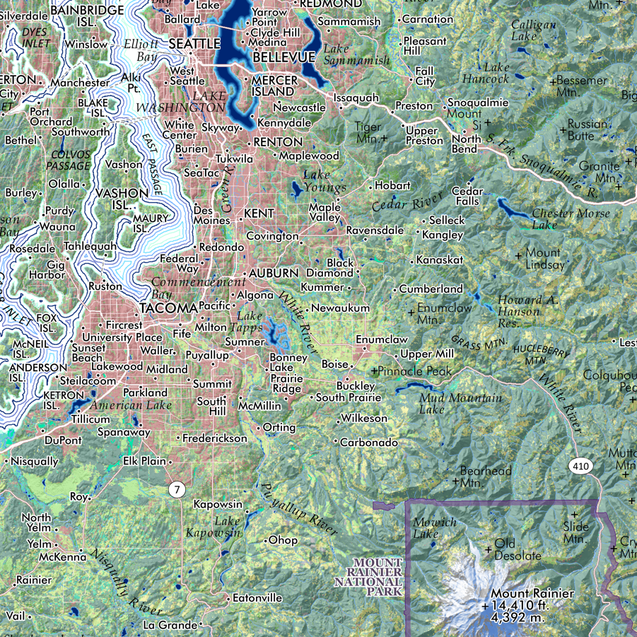
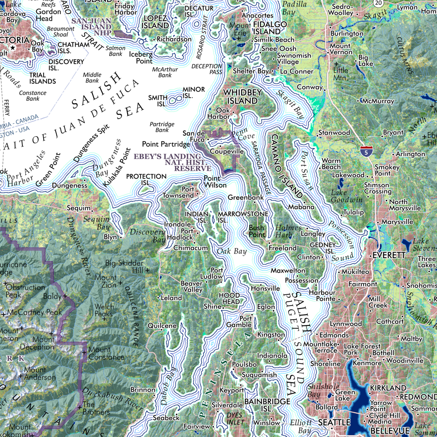
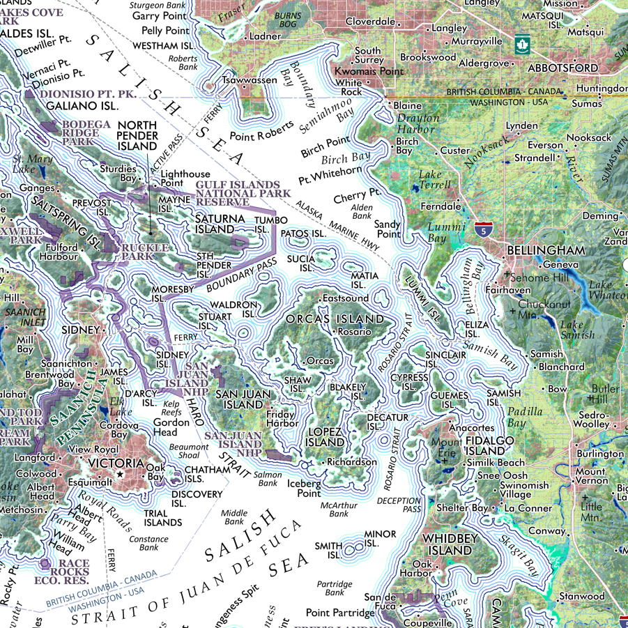
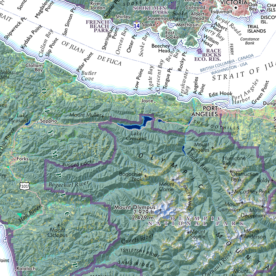
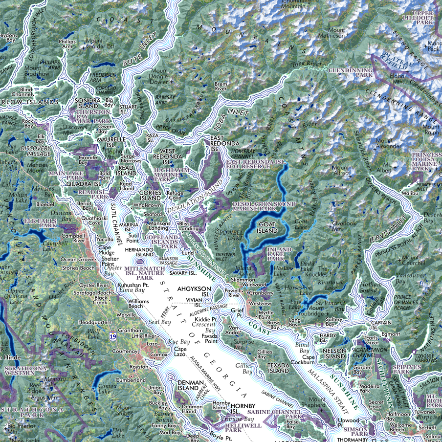
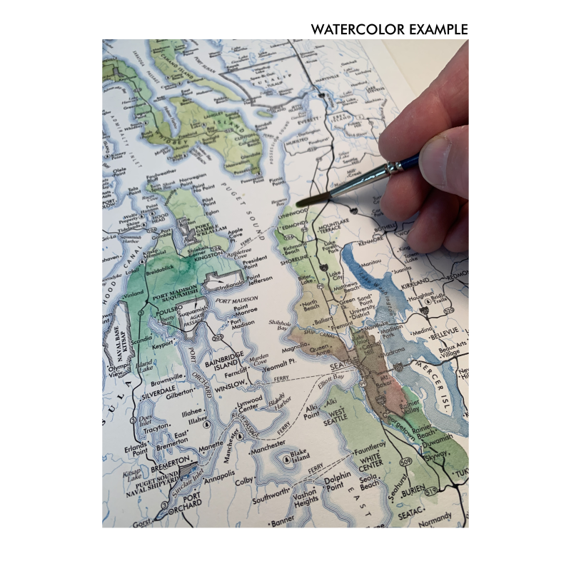
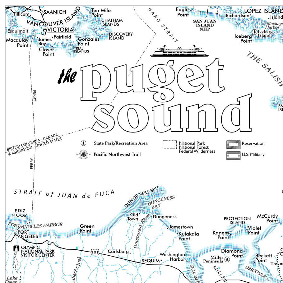
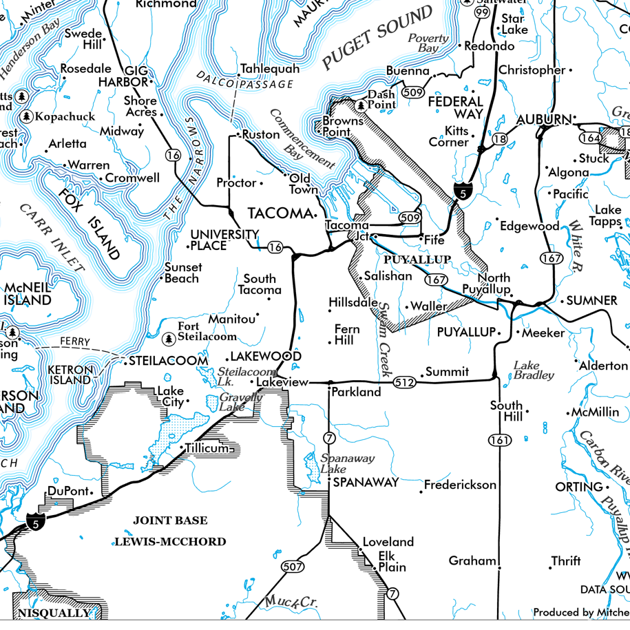
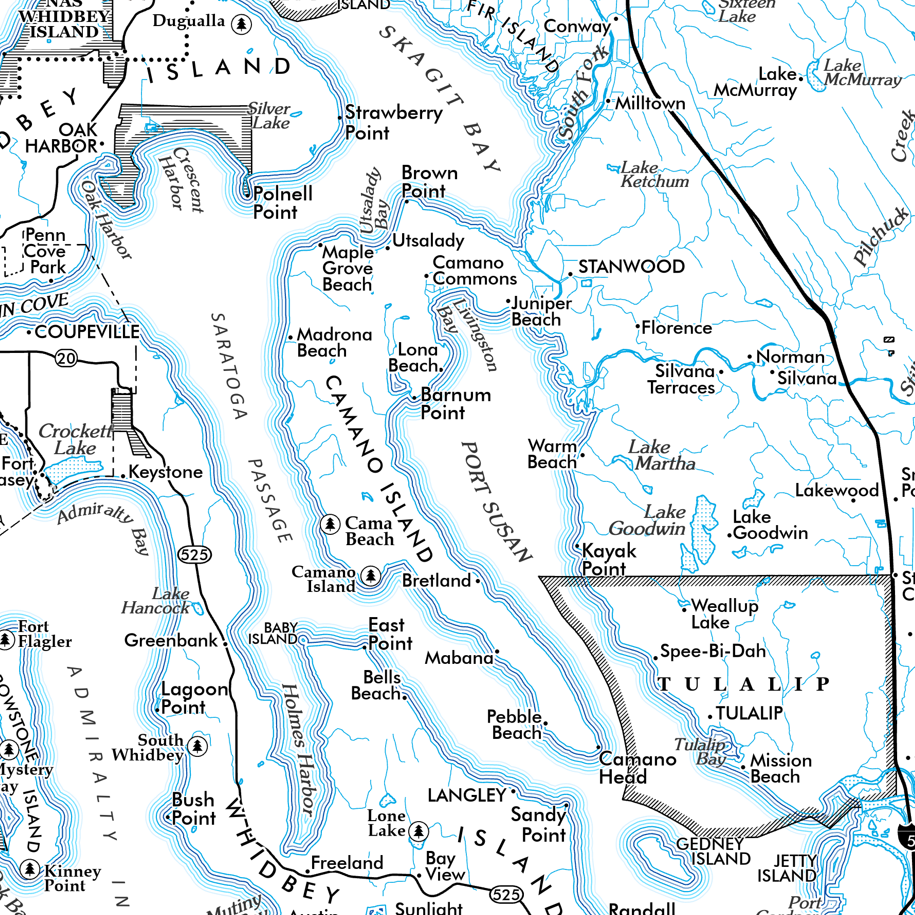
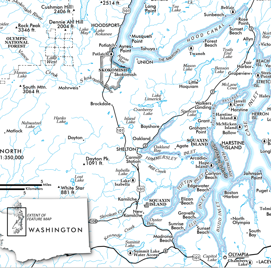
San Juan Islands, Washington (19 x 13 inch version). A smaller but very detailed map of the San Juans featuring the islands, rocks, reefs, bays, channels, sounds, capes, and land points, as well as the four lighthouses, larger publicly accessible lands such as state parks and preserves, trails , roads, and ferry routes.
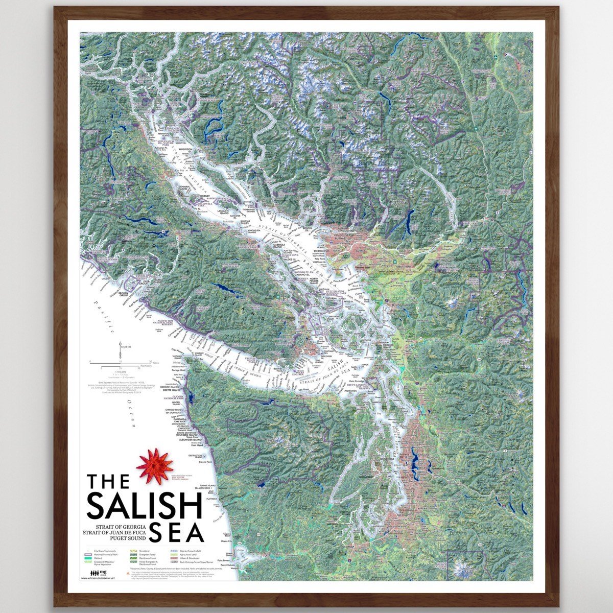
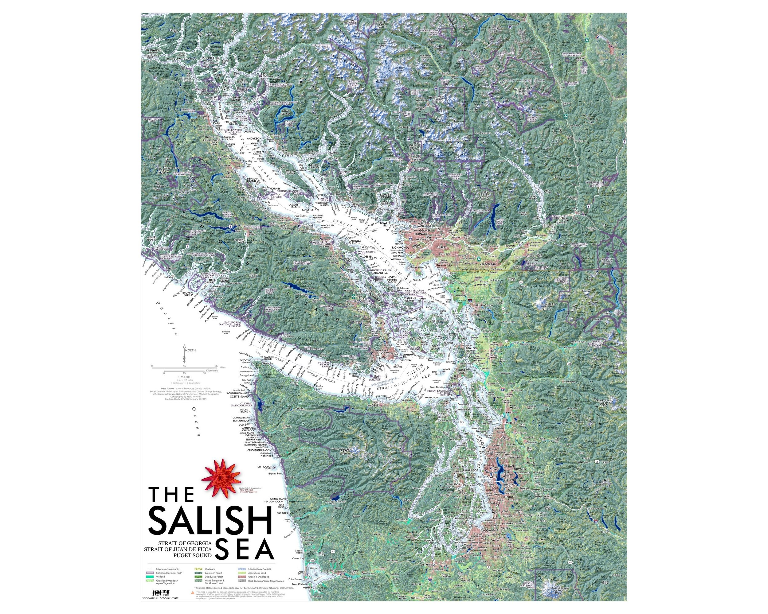
A larger 24 x 20 inch San Juan Islands map is also available.
13 inch by 19 inch flat wall map, printed on heavy fine paper. Packed and shipped flat.
San Juan Islands, Washington (19 x 13 inch version). A smaller but very detailed map of the San Juans featuring the islands, rocks, reefs, bays, channels, sounds, capes, and land points, as well as the four lighthouses, larger publicly accessible lands such as state parks and preserves, trails , roads, and ferry routes.
A larger 24 x 20 inch San Juan Islands map is also available.

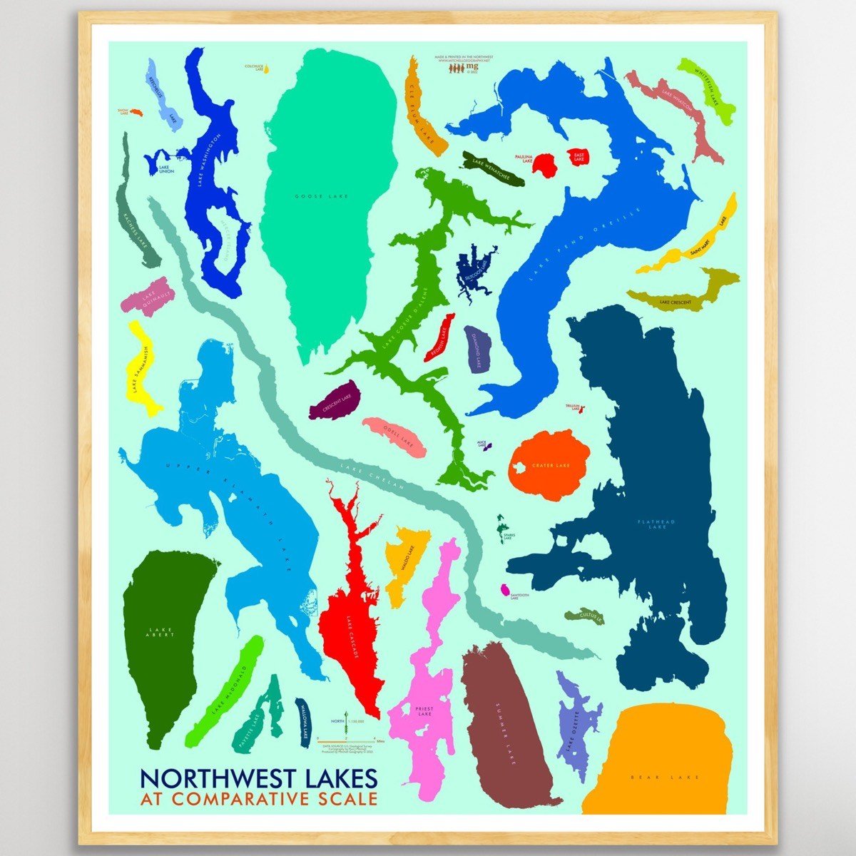
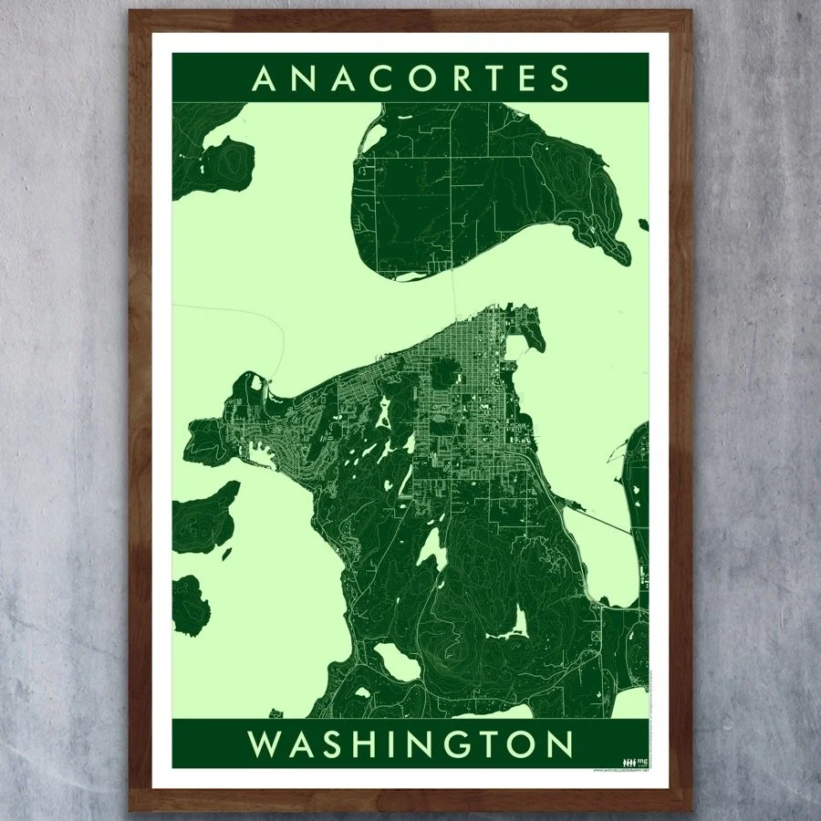
 Image 1 of 5
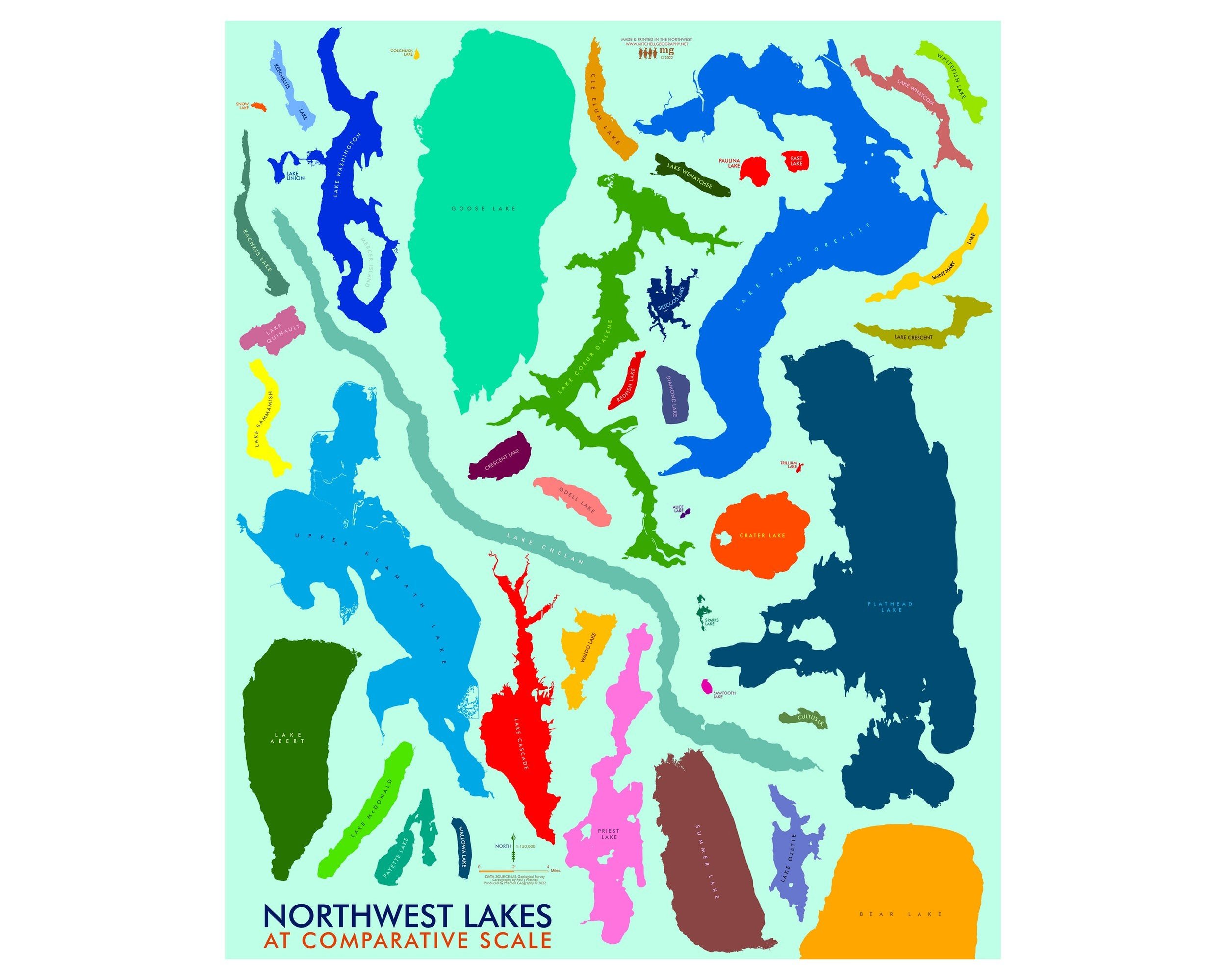
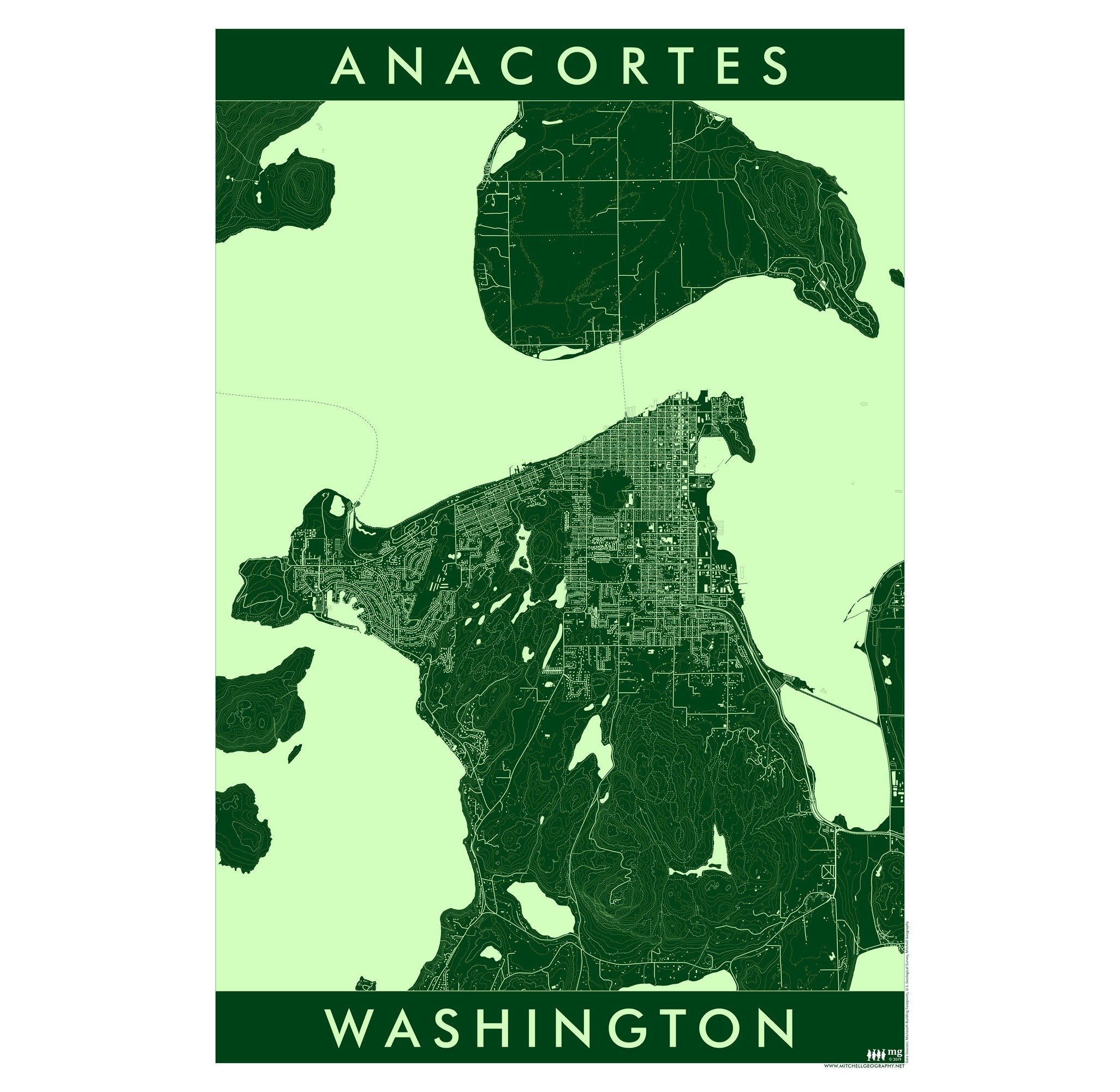
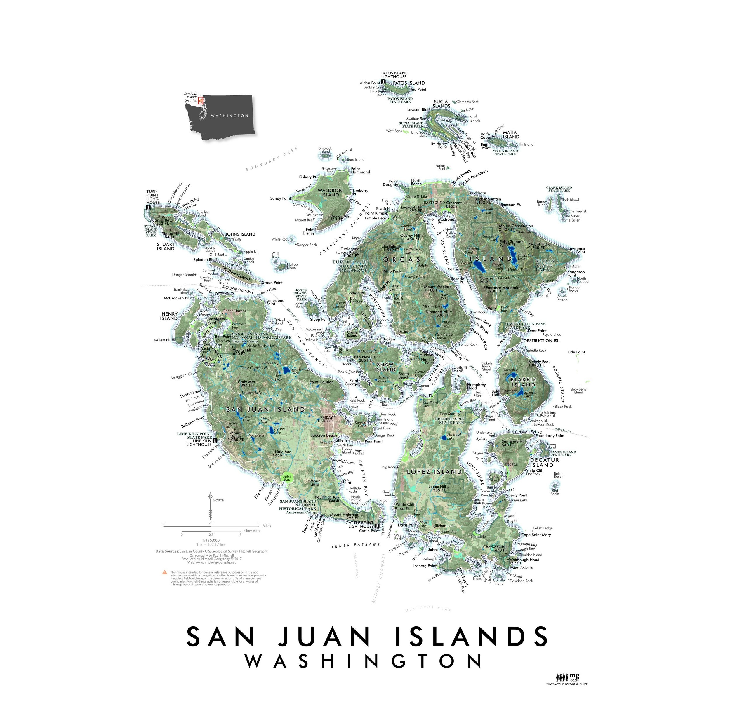 Image 2 of 5
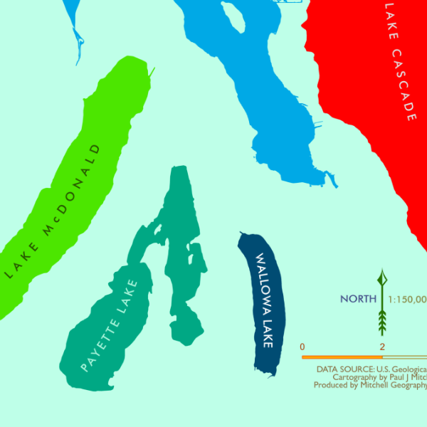
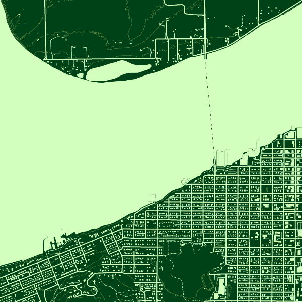
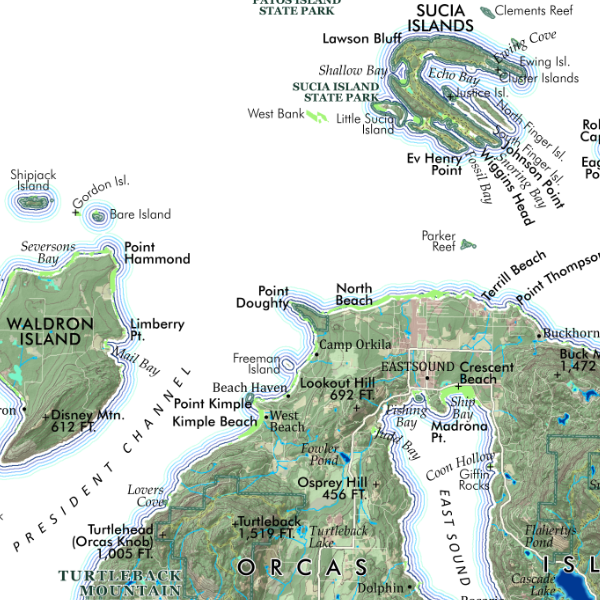 Image 3 of 5
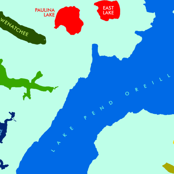
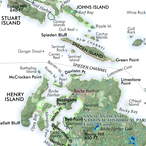 Image 4 of 5
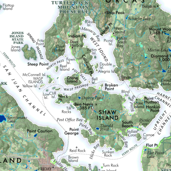 Image 5 of 5