Selkirk Range [North Idaho] (19 in x 13 in)
1:215,000
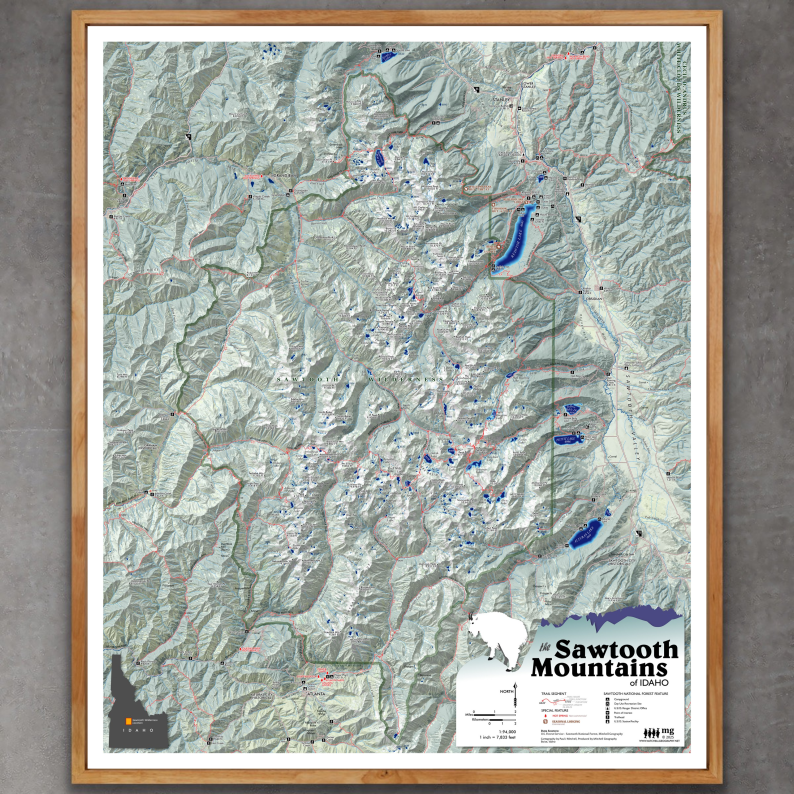
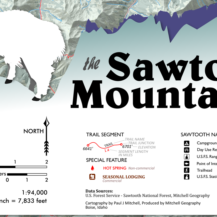
13 inch by 19 inch flat wall map, printed on heavy fine paper. Packed and shipped flat.
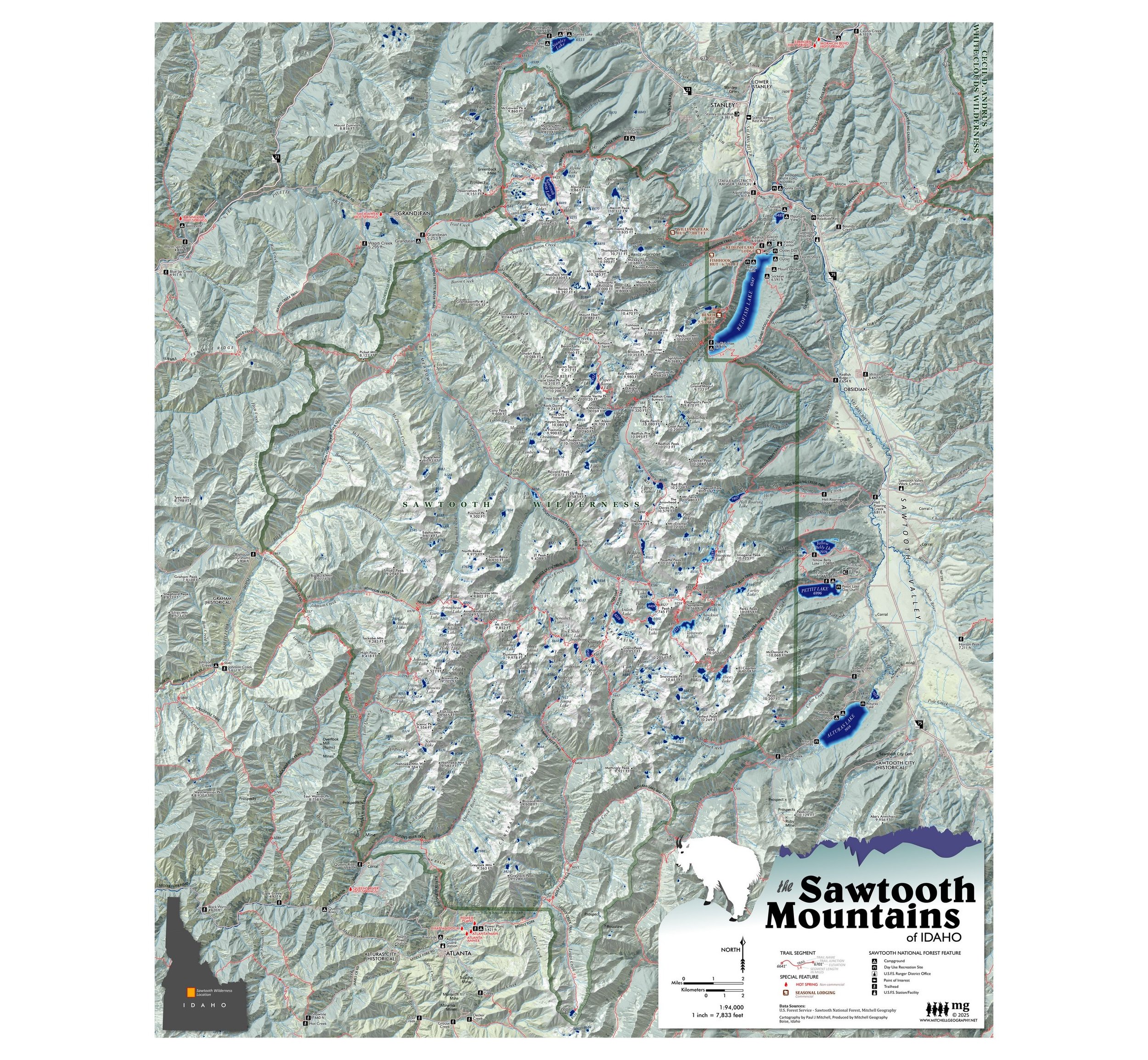
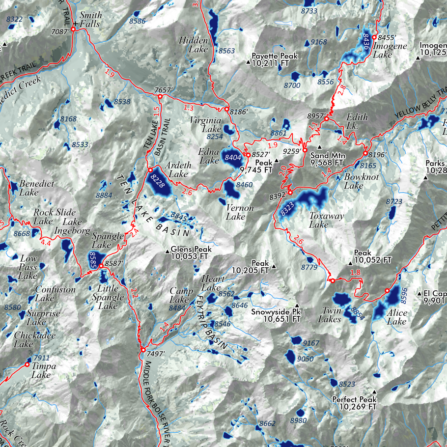
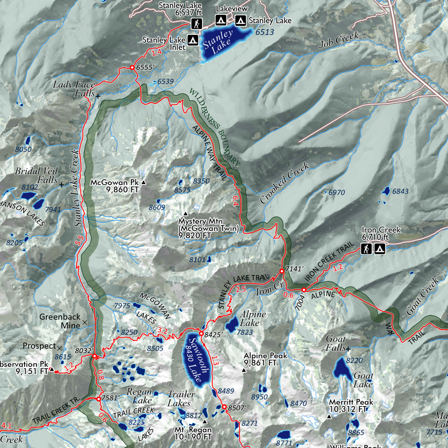
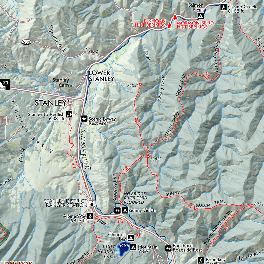
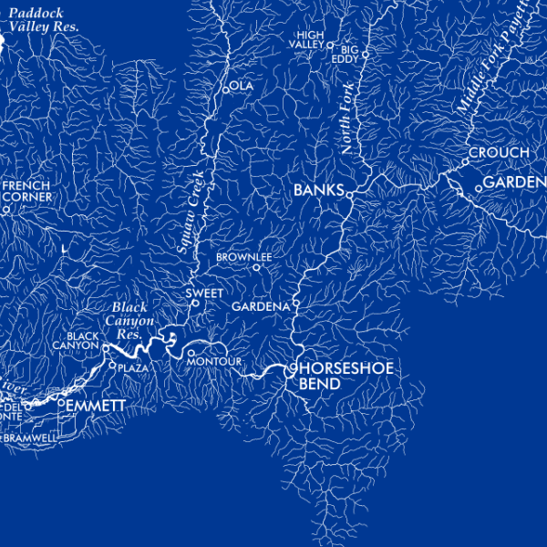
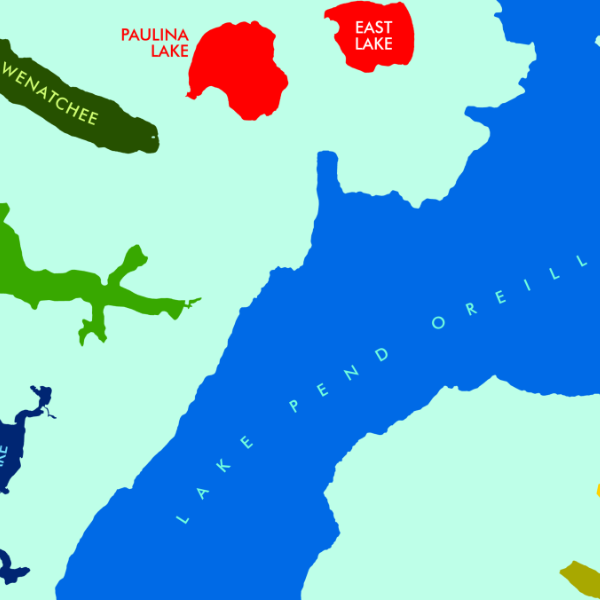
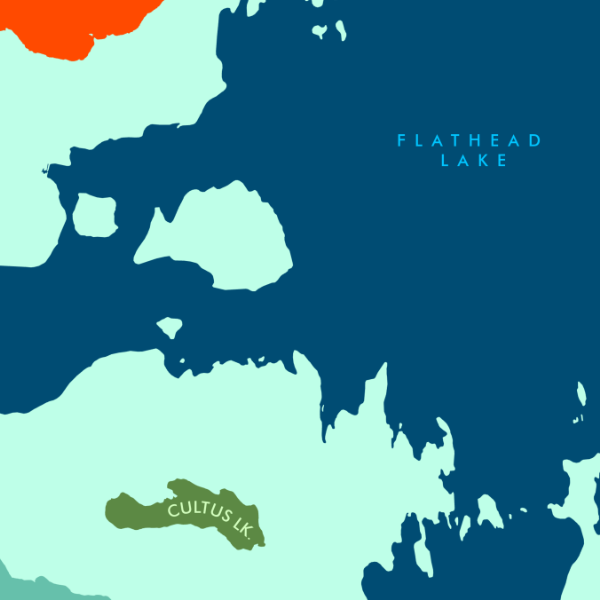
Selkirk Range, North Idaho. Featuring the top of Idaho's northern panhandle, this map captures an extent from the Scotchman Peaks in the southeast to the Upper Priest River in the northwest. Trails, trailheads, lakes, landforms, and places are included for reference.
1:215,000
13 inch by 19 inch flat wall map, printed on heavy fine paper. Packed and shipped flat.
Selkirk Range, North Idaho. Featuring the top of Idaho's northern panhandle, this map captures an extent from the Scotchman Peaks in the southeast to the Upper Priest River in the northwest. Trails, trailheads, lakes, landforms, and places are included for reference.