Skip to Content
maps
etc
stockists
contact
Mitchell Geography
0
0
maps
etc
stockists
contact
Mitchell Geography
0
0
maps
etc
stockists
contact
map shop Selkirk Range [North Idaho] (19 in x 13 in)
Selkirk1319_framed.JPG Image 1 of 3
Selkirk1319_framed.JPG
SelkirkRangeNoIdaho_13x19_021118_600dpi_2000w_whsq.jpg Image 2 of 3
SelkirkRangeNoIdaho_13x19_021118_600dpi_2000w_whsq.jpg
PriestLakeSelkirks_detail.png Image 3 of 3
PriestLakeSelkirks_detail.png
Selkirk1319_framed.JPG
SelkirkRangeNoIdaho_13x19_021118_600dpi_2000w_whsq.jpg
PriestLakeSelkirks_detail.png

Selkirk Range [North Idaho] (19 in x 13 in)

$24.00

1:215,000

13 inch by 19 inch flat wall map, printed on heavy fine paper. Packed and shipped flat.

Selkirk Range, North Idaho. Featuring the top of Idaho's northern panhandle, this map captures an extent from the Scotchman Peaks in the southeast to the Upper Priest River in the northwest. Trails, trailheads, lakes, landforms, and places are included for reference.

Quantity:
Add To Cart

1:215,000

13 inch by 19 inch flat wall map, printed on heavy fine paper. Packed and shipped flat.

Selkirk Range, North Idaho. Featuring the top of Idaho's northern panhandle, this map captures an extent from the Scotchman Peaks in the southeast to the Upper Priest River in the northwest. Trails, trailheads, lakes, landforms, and places are included for reference.
Lake Pend Oreille
Lake Pend Oreille
$24.00

1:215,000

13 inch by 19 inch flat wall map, printed on heavy fine paper. Packed and shipped flat.

Selkirk Range, North Idaho. Featuring the top of Idaho's northern panhandle, this map captures an extent from the Scotchman Peaks in the southeast to the Upper Priest River in the northwest. Trails, trailheads, lakes, landforms, and places are included for reference.
You Might Also Like

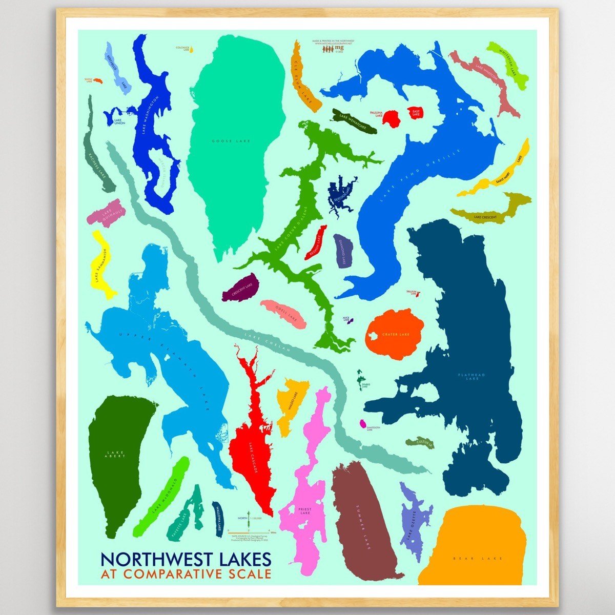
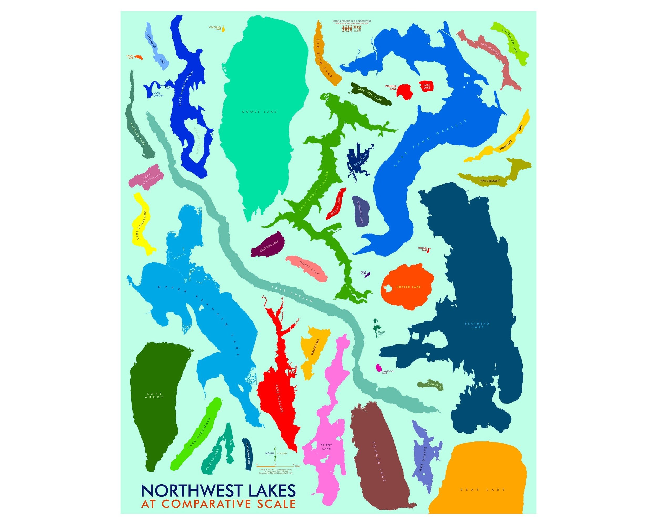
Northwest Lakes (24 in x 20 in) Northwest Lakes Map Northwest Lakes Map Northwest Lakes Map Northwest Lakes Map
Northwest Lakes (24 in x 20 in)
$34.00
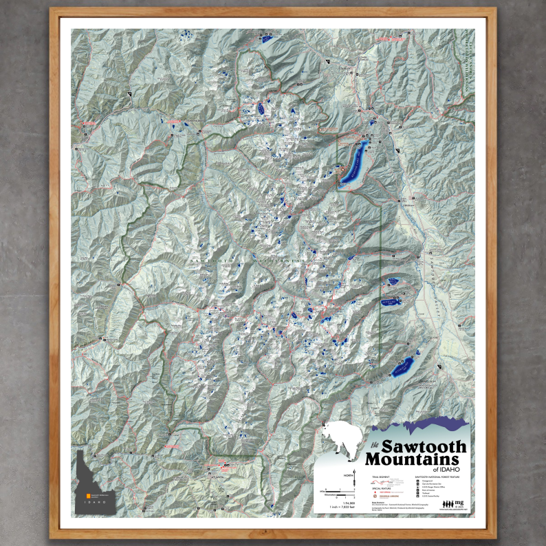
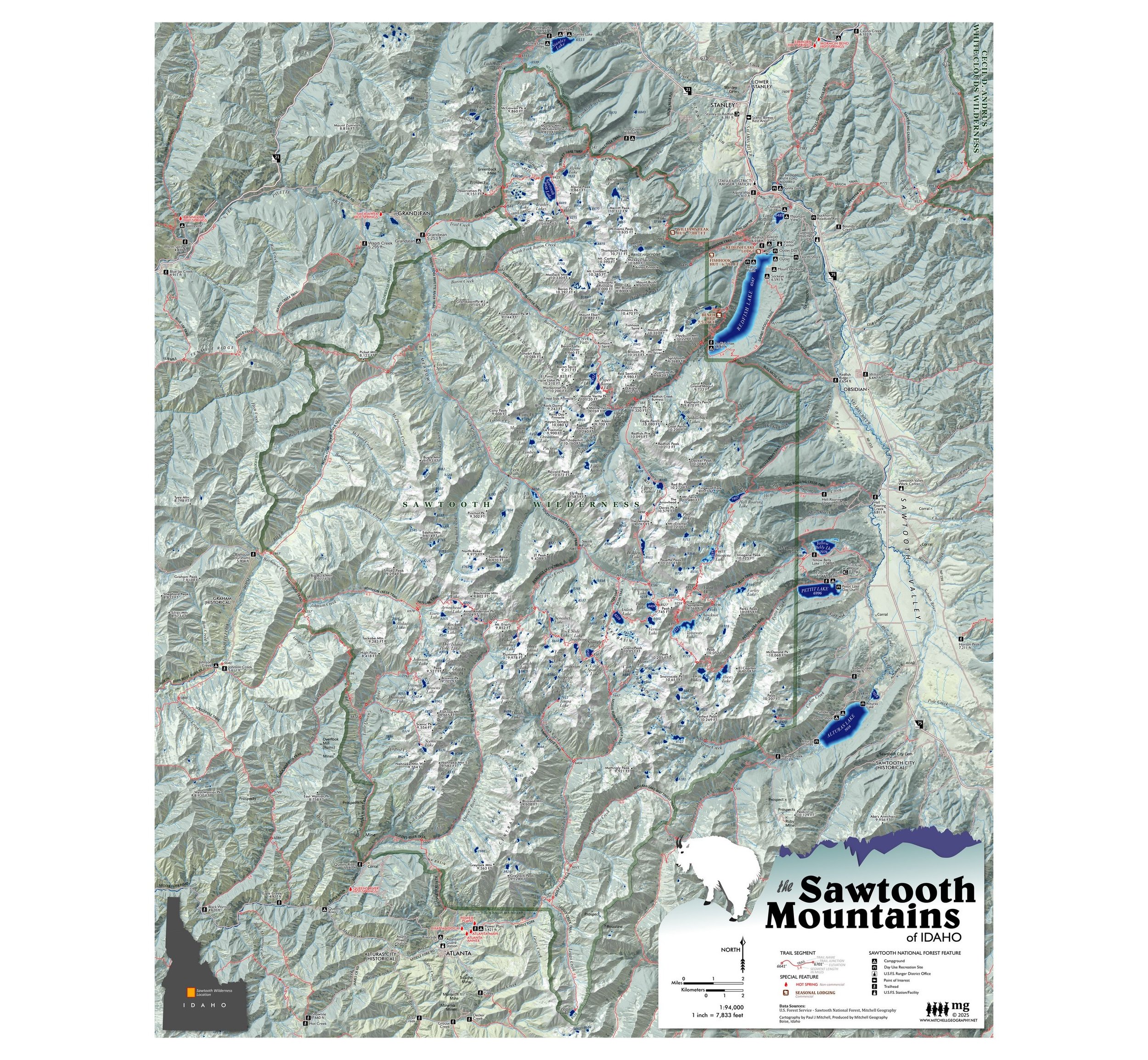
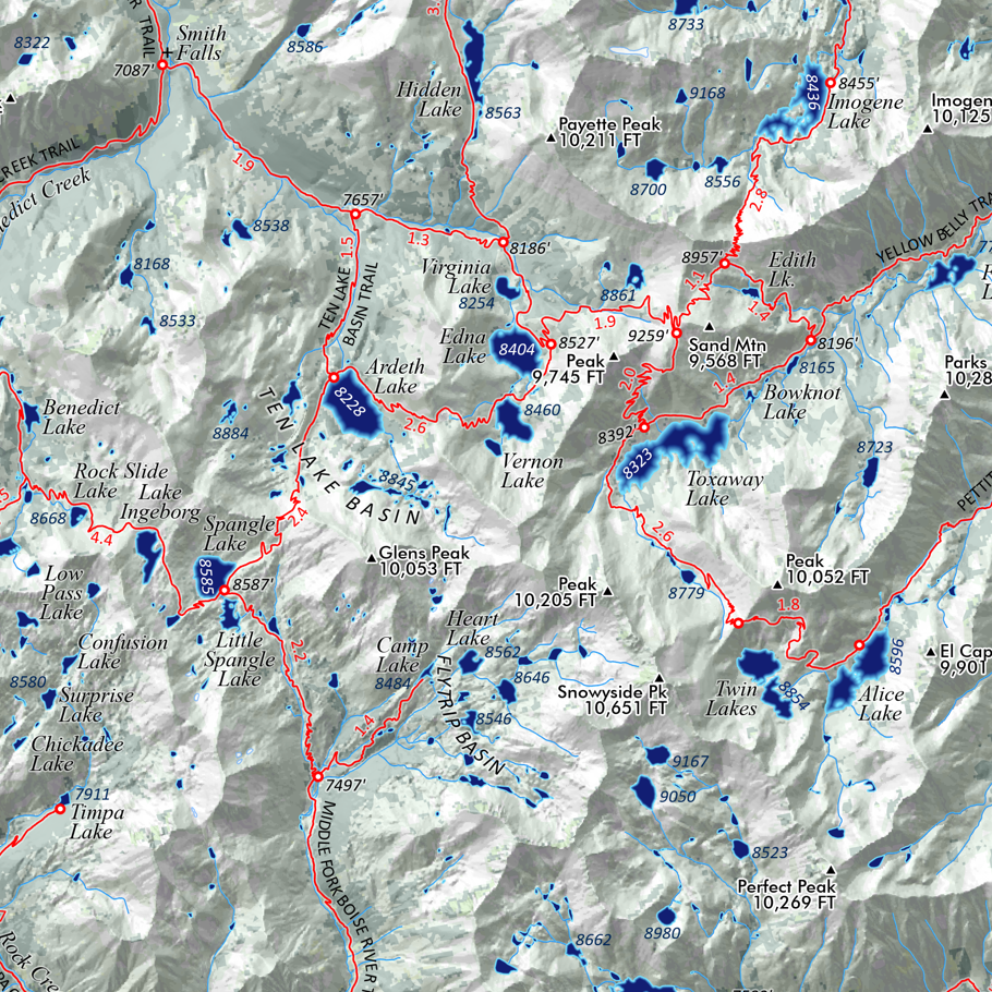
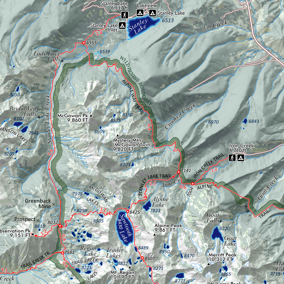
Sawtooth Mountains Idaho (24 in x 20 in) Sawtooth Mountains Idaho Map Redfish Lake Pettit Lake Alturas Lake Idaho Wilderness Bench Lakes Sawtooth Mountains Idaho Map Redfish Lake Pettit Lake Alturas Lake Idaho Wilderness Bench Lakes Sawtooth Mountains Idaho Map Redfish Lake Pettit Lake Alturas Lake Idaho Wilderness Bench Lakes Sawtooth Mountains Idaho Map Redfish Lake Pettit Lake Alturas Lake Idaho Wilderness Bench Lakes Sawtooth Mountains Idaho Map Redfish Lake Pettit Lake Alturas Lake Idaho Wilderness Bench Lakes
Sawtooth Mountains Idaho (24 in x 20 in)
$34.00
Bighorn Crags Idaho (19 in x 13 in) Bighorn Crags Idaho Map Bighorn Crags Idaho Map
Bighorn Crags Idaho (19 in x 13 in)
$24.00
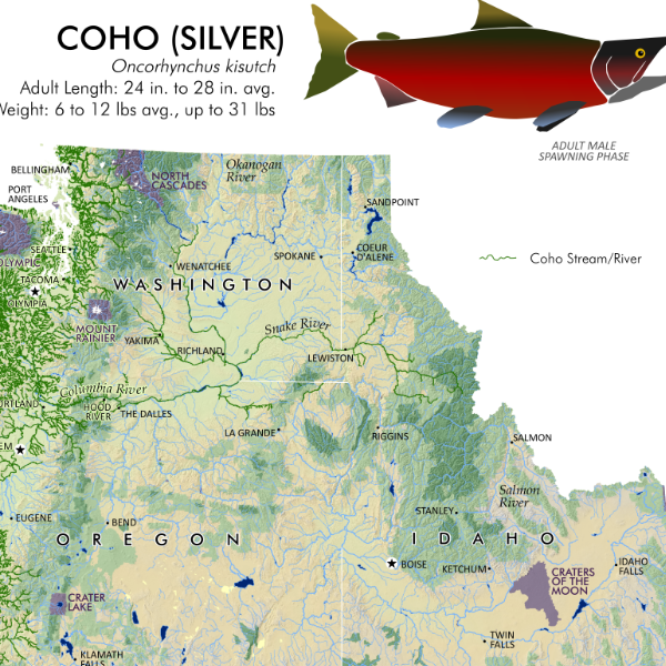
Pacific Northwest Salmon & Steelhead Pacific Northwest Salmon Distribution Extent Map Pacific Northwest Salmon extent distribution map
Pacific Northwest Salmon & Steelhead
from $24.00
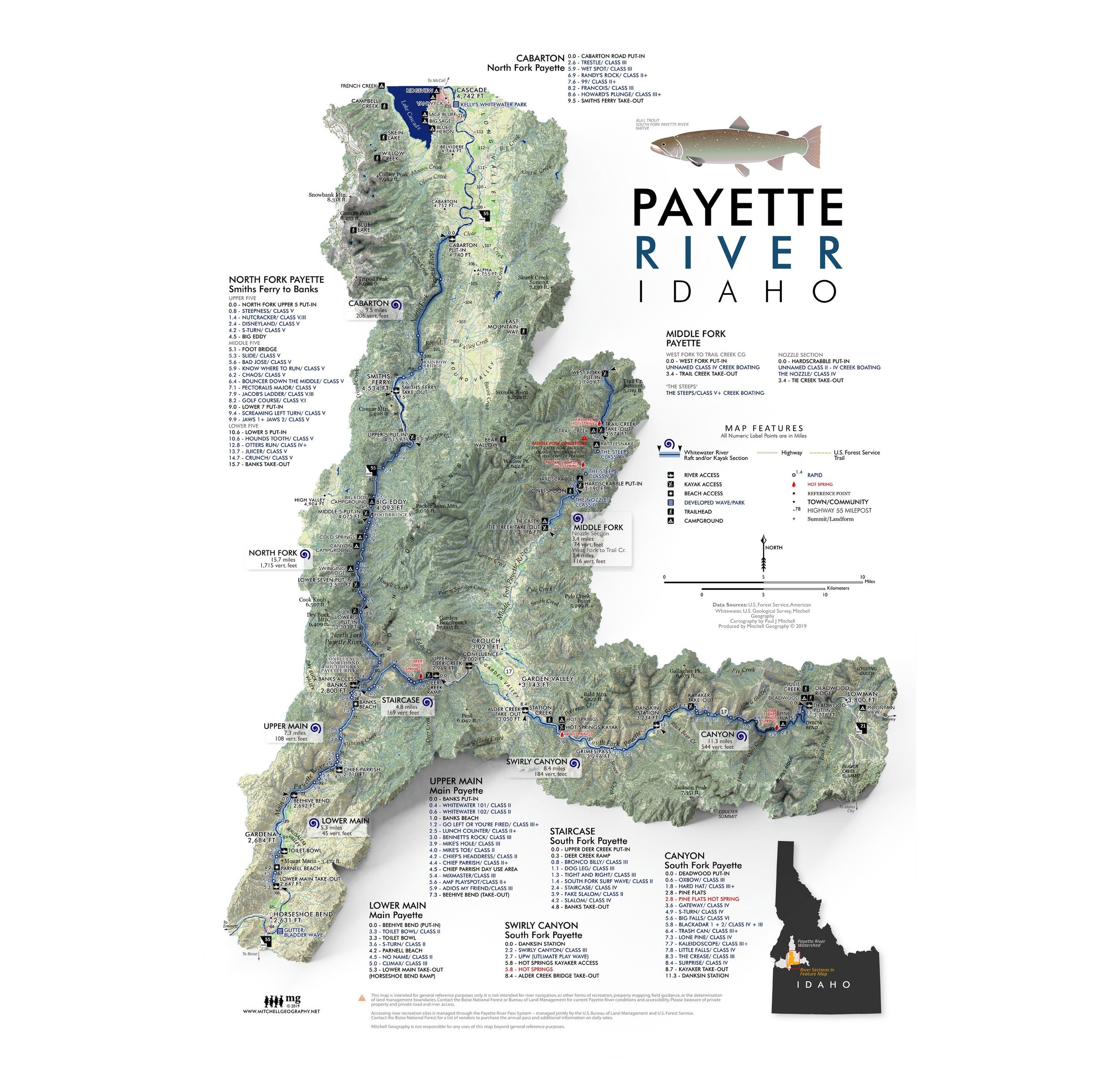
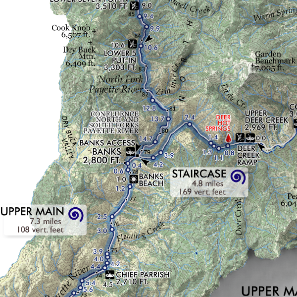
Payette River Payette River Rafting Map Payette River Rafting Map Payette River Rafting Map
Payette River
from $24.00

© Mitchell Geography 2013 - 2025