Skip to Content
maps
etc
stockists
contact
Mitchell Geography
0
0
maps
etc
stockists
contact
Mitchell Geography
0
0
maps
etc
stockists
contact
map shop Upper Colorado River Watershed (19 in x 13 in)
Upper Colorado River Watershed Map Image 1 of 4
Upper Colorado River Watershed Map
Upper Colorado River Watershed Map Image 2 of 4
Upper Colorado River Watershed Map
Upper Colorado River Watershed Map Image 3 of 4
Upper Colorado River Watershed Map
Upper Colorado River Watershed Map Image 4 of 4
Upper Colorado River Watershed Map

Upper Colorado River Watershed (19 in x 13 in)

$24.00

13 inch by 19 inch flat wall map, printed on heavy fine paper. Packed and shipped flat.

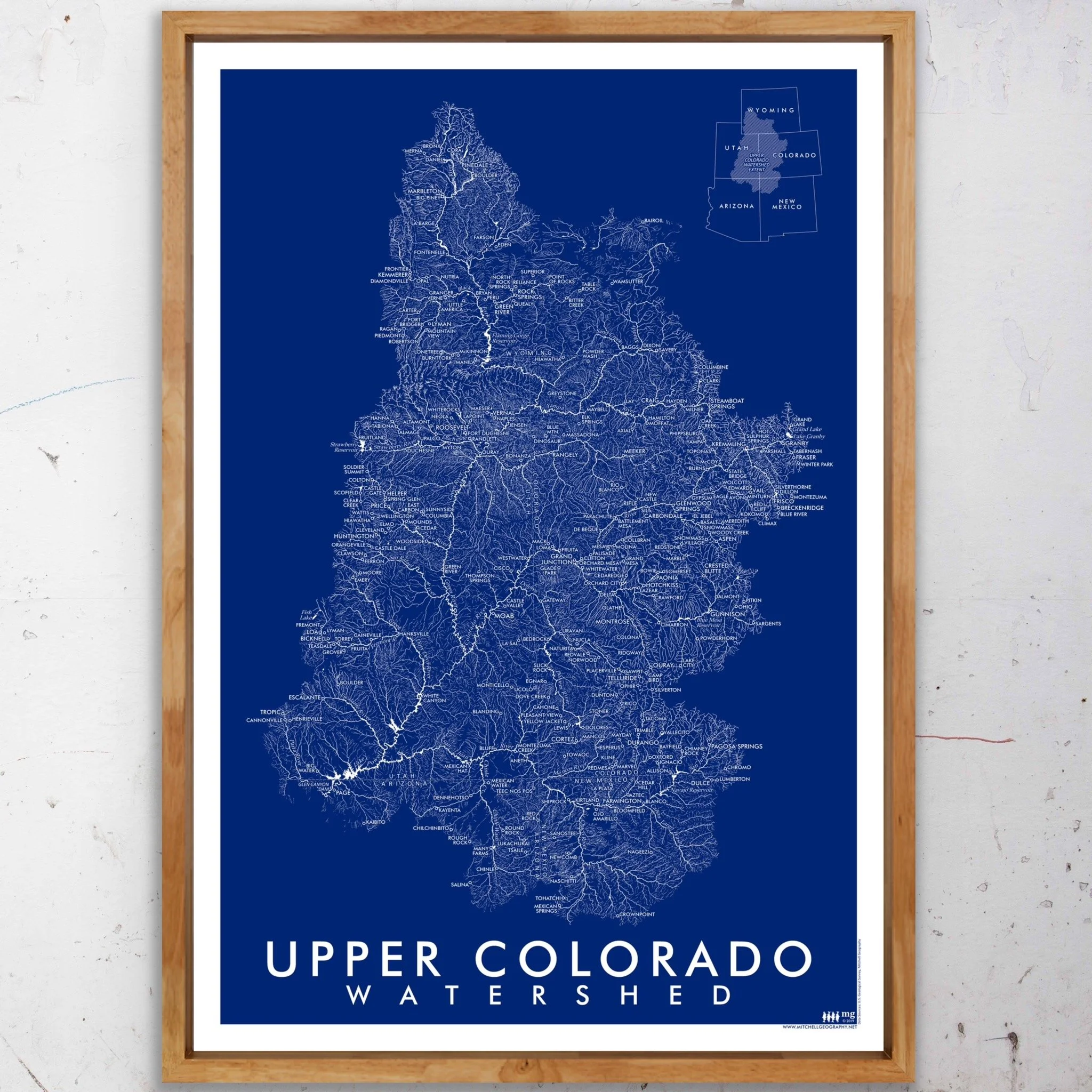
Upper Colorado River Watershed. Vintage inspired blue monochrome map graphic of the Upper Colorado Watershed’s surficial hydrology. Perennial rivers/streams and Strahler class 5/6/7 features are symbolized with solid lines, while ephemeral and intermittent water features are hashed. Populated places, major hydrologic features, and state boundaries are labeled for reference and orientation.

Quantity:
Add To Cart

13 inch by 19 inch flat wall map, printed on heavy fine paper. Packed and shipped flat.

Upper Colorado River Watershed. Vintage inspired blue monochrome map graphic of the Upper Colorado Watershed’s surficial hydrology. Perennial rivers/streams and Strahler class 5/6/7 features are symbolized with solid lines, while ephemeral and intermittent water features are hashed. Populated places, major hydrologic features, and state boundaries are labeled for reference and orientation.
You Might Also Like

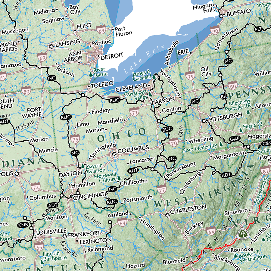
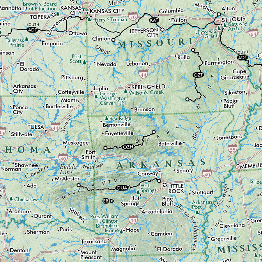
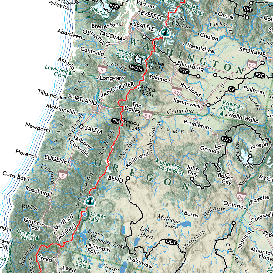
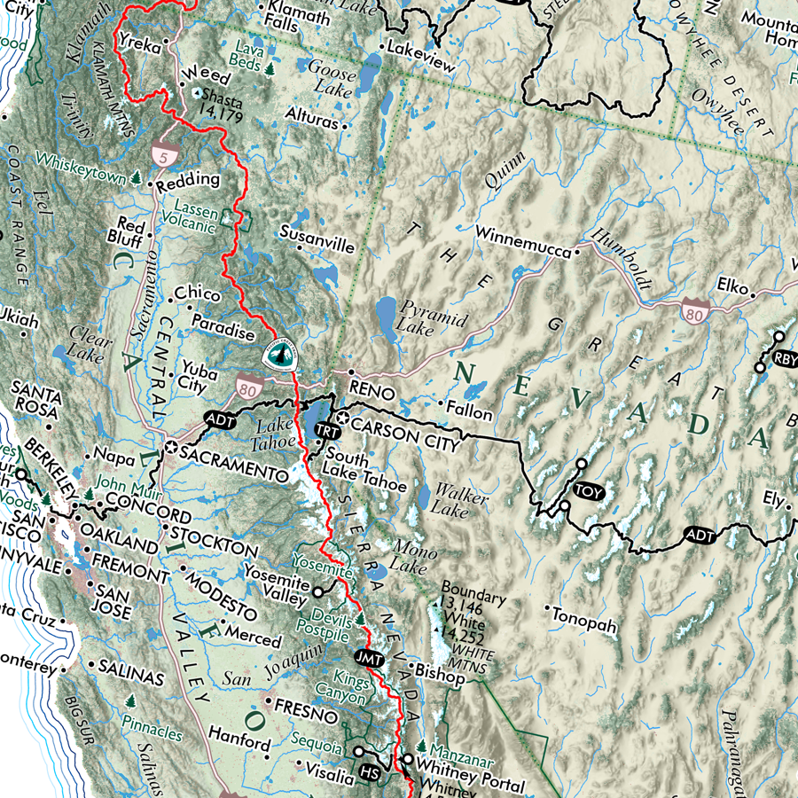
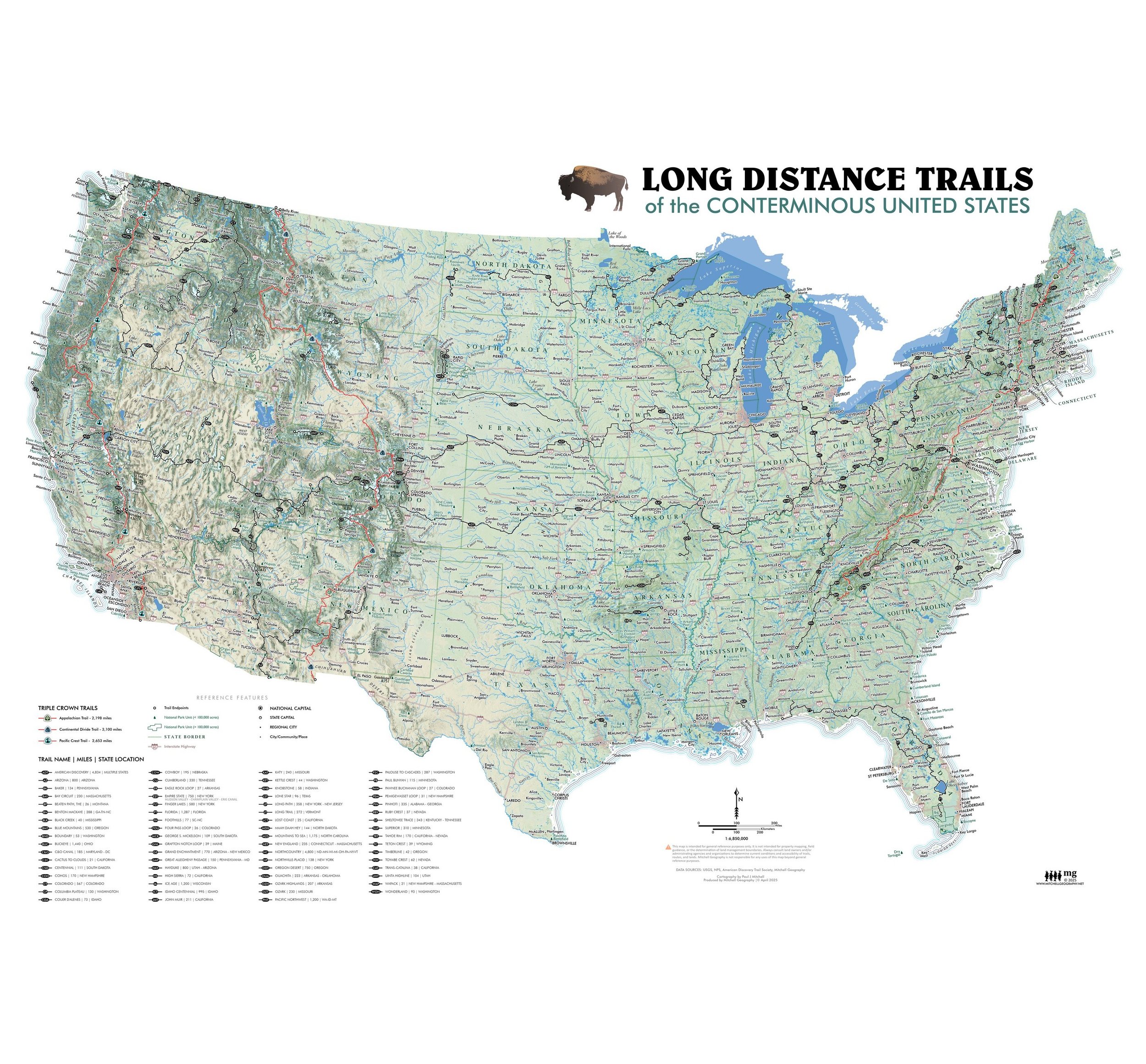
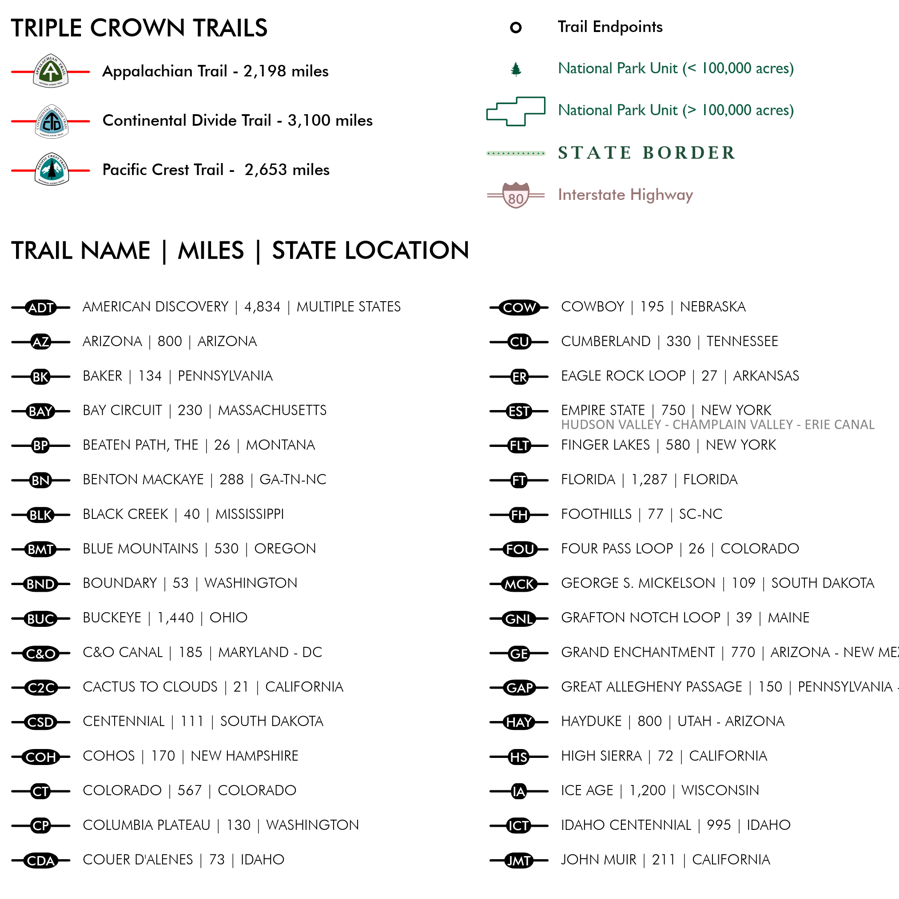
Long Distance Trails (28 in x 20 in) USNatTrails_det9.png USNatTrails_det8.png USNatTrails_det10.png USNatTrails_det5.png USNatTrails_det6.png USNatTrails_det2.png USNatTrails_det1.png USNatTrails_det3.png USNatTrails_det7.png USNatTrails_det4.png USLongTrails_28x20_042425_re2000_whsq.jpg
Long Distance Trails (28 in x 20 in)
$38.00
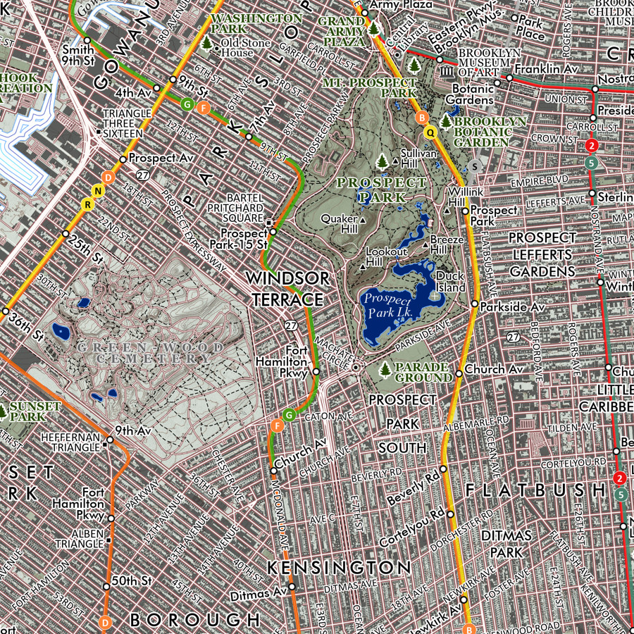
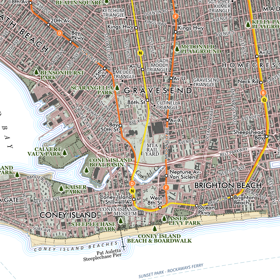
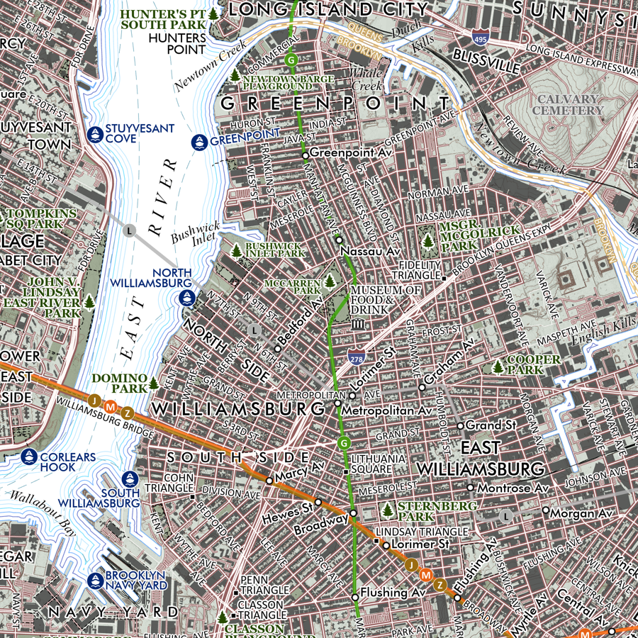
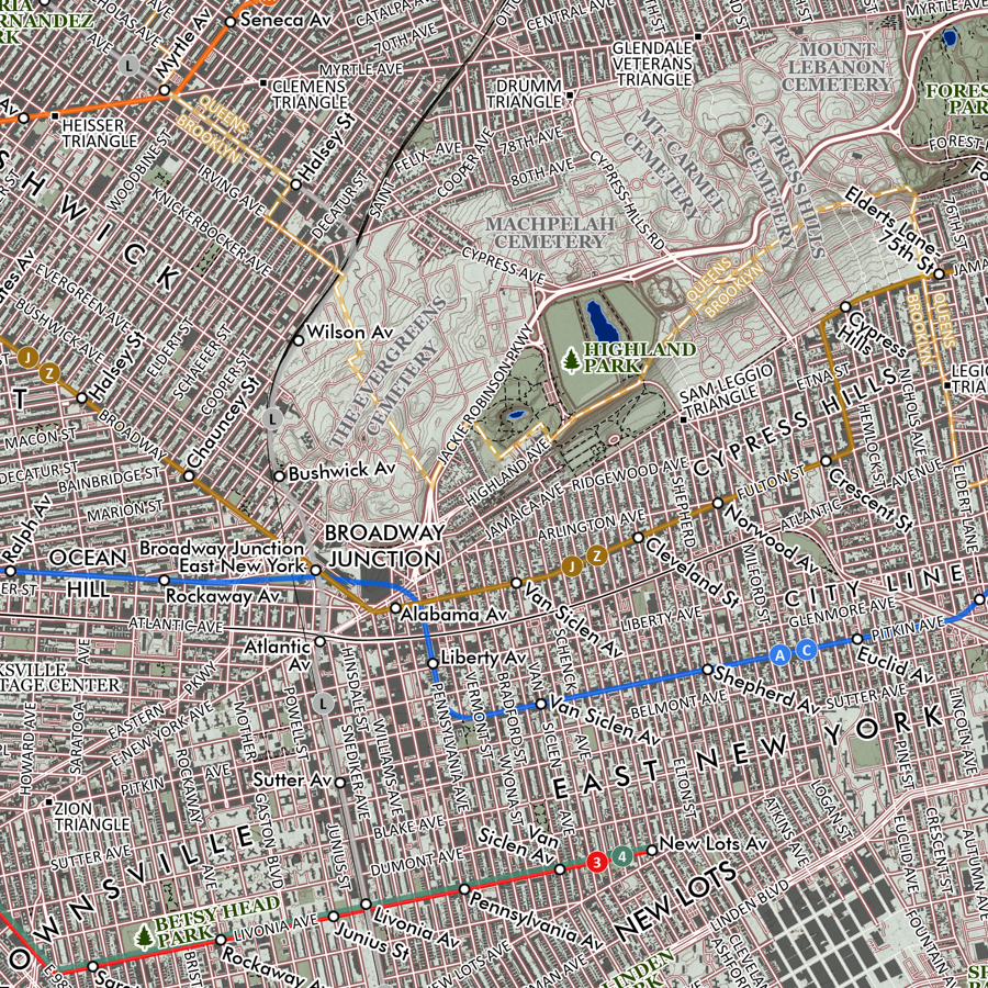
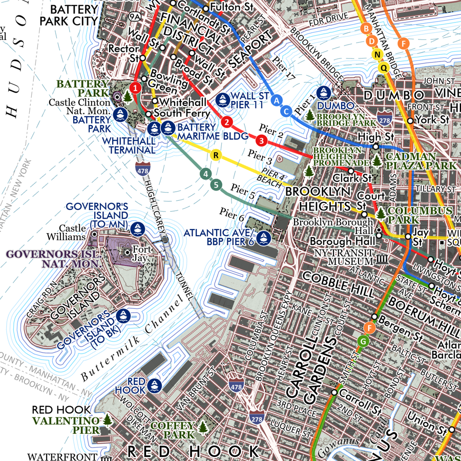
Brooklyn New York (24 in x 20 in) Brooklyn New York Map Brooklyn New York Map Brooklyn New York Map Brooklyn New York Map Brooklyn New York Map
Brooklyn New York (24 in x 20 in)
$34.00
Greater Yellowstone Wildlands (19 in x 13 in) Greater Yellowstone Map Greater Yellowstone Map
Greater Yellowstone Wildlands (19 in x 13 in)
$24.00
Boone - North Carolina High Country (24 in x 20 in) Boone North Carolina High Country Map Boone North Carolina High Country Map Boone North Carolina High Country Map Boone North Carolina High Country Map Boone North Carolina High Country Map
Boone - North Carolina High Country (24 in x 20 in)
$34.00
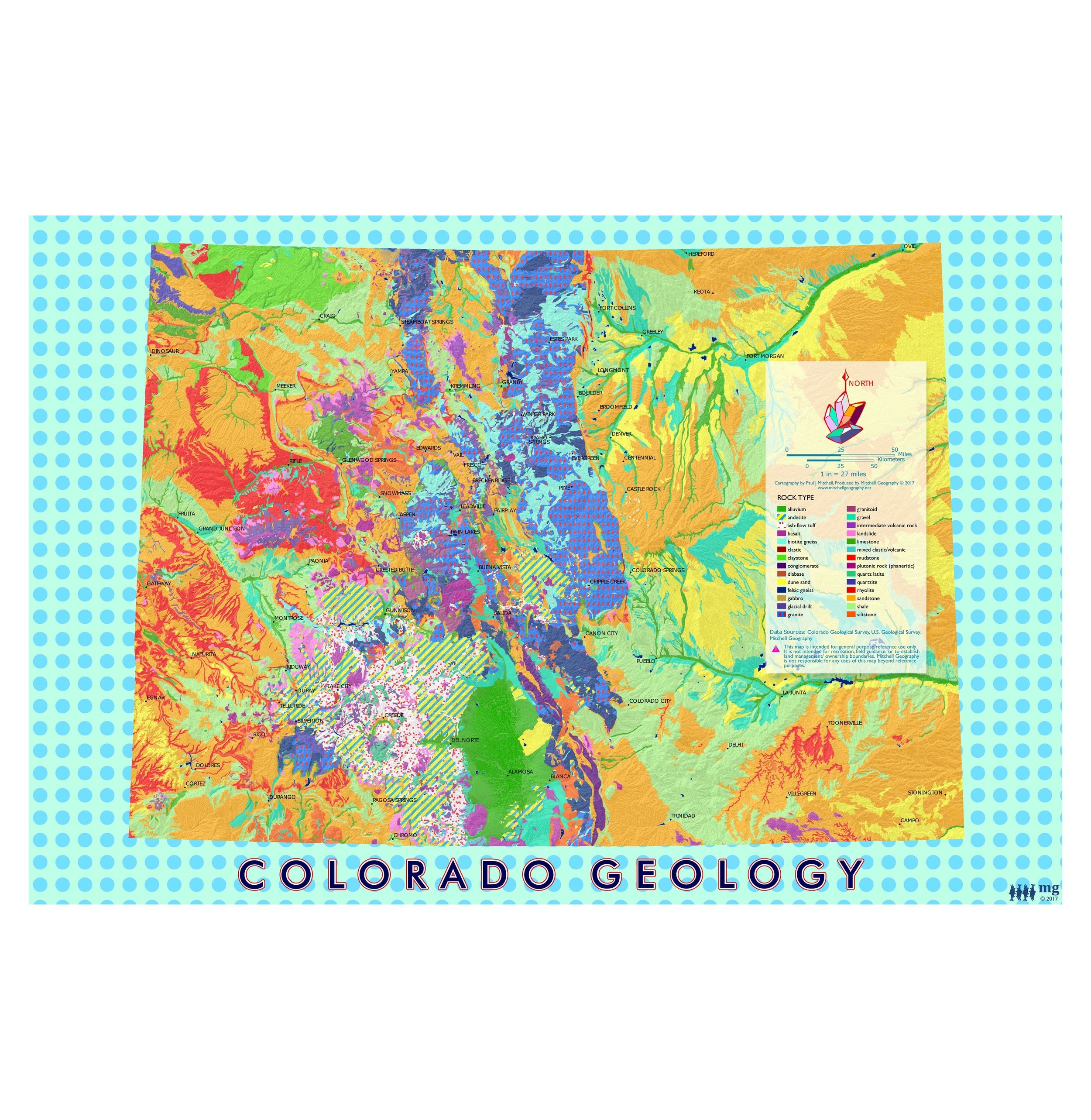
Colorado Geology (19 in x 13 in) Colorado Geology Art Map Colorado Geology Art Map
Colorado Geology (19 in x 13 in)
$24.00

© Mitchell Geography 2013 - 2025