Wallowa Mountains Oregon (19 in x 13 in)
1:170,000
13 inch by 19 inch flat wall map, printed on heavy fine paper. Packed and shipped flat.
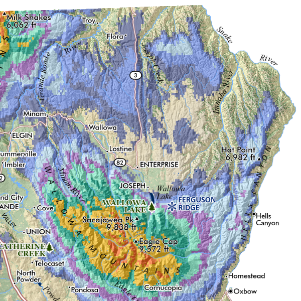
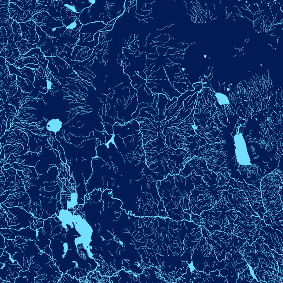
Wallowa Mountains, Oregon. Capturing the alpine crest and Lostine River canyon of the Eagle Cap Wilderness and the Wallowa Mountains in beautiful Northeast Oregon -- this map includes trails, hiking trailheads, lakes, summits, and landform features labeled for reference. Wallowa Lake, as well as the towns of Joseph and Enterprise are included. The map is rotated northeast slightly -- the extent stretches from Cornucopia to Lostine.
1:170,000
13 inch by 19 inch flat wall map, printed on heavy fine paper. Packed and shipped flat.
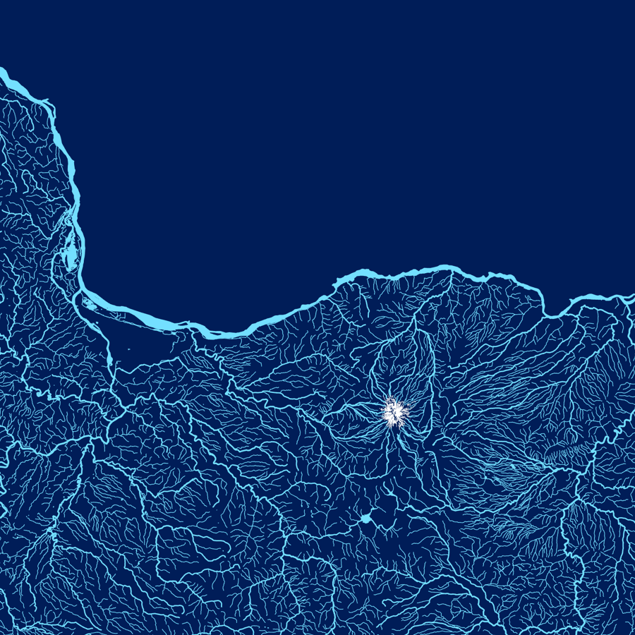
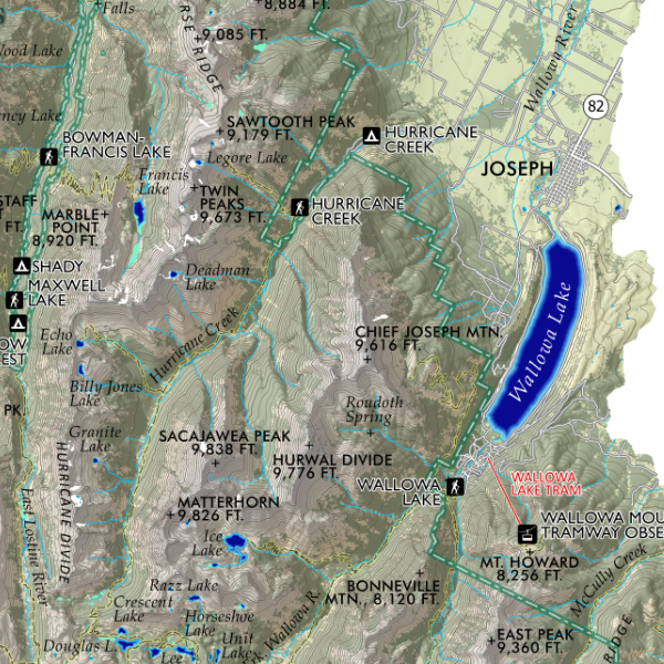
Wallowa Mountains, Oregon. Capturing the alpine crest and Lostine River canyon of the Eagle Cap Wilderness and the Wallowa Mountains in beautiful Northeast Oregon -- this map includes trails, hiking trailheads, lakes, summits, and landform features labeled for reference. Wallowa Lake, as well as the towns of Joseph and Enterprise are included. The map is rotated northeast slightly -- the extent stretches from Cornucopia to Lostine.