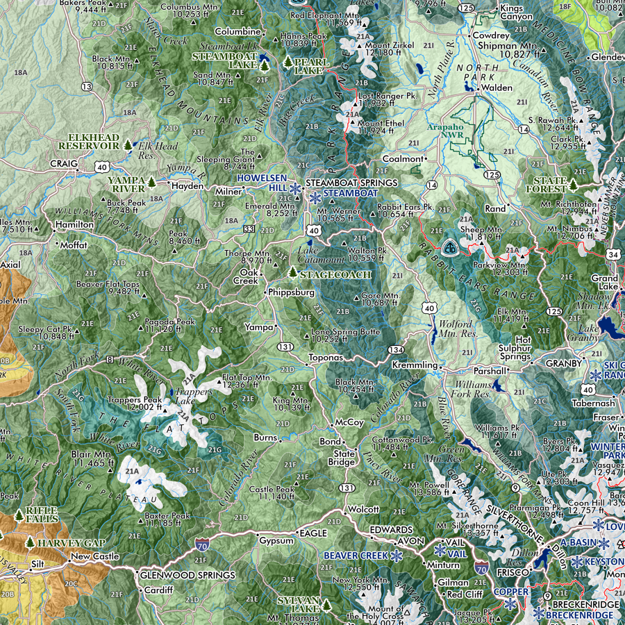
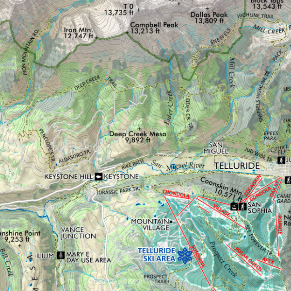
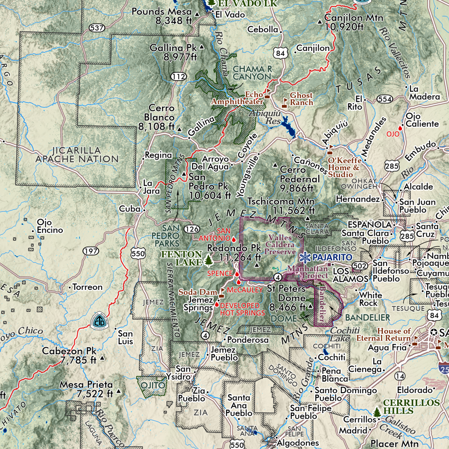
 Image 1 of 4
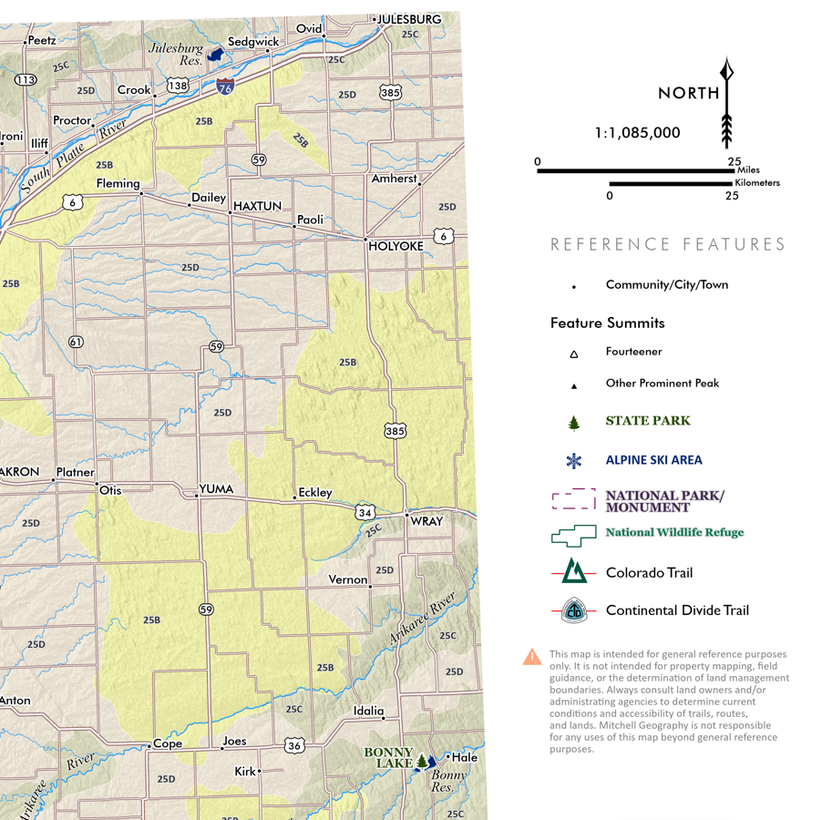
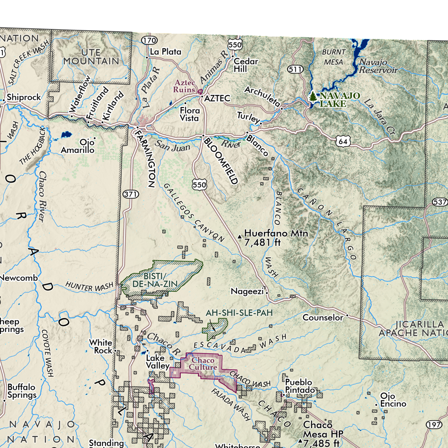
 Image 2 of 4
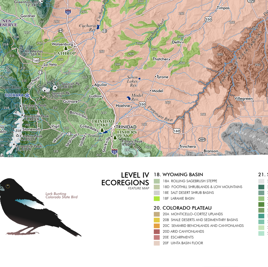
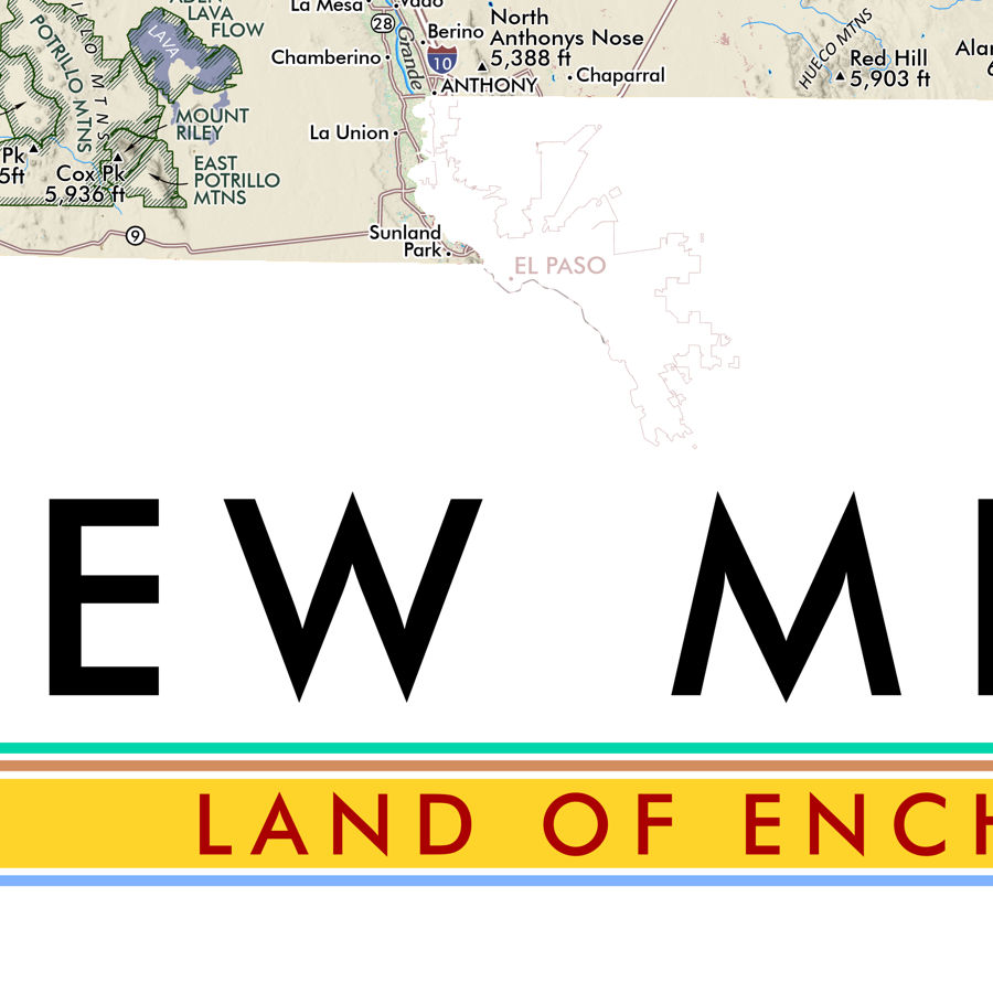
 Image 3 of 4
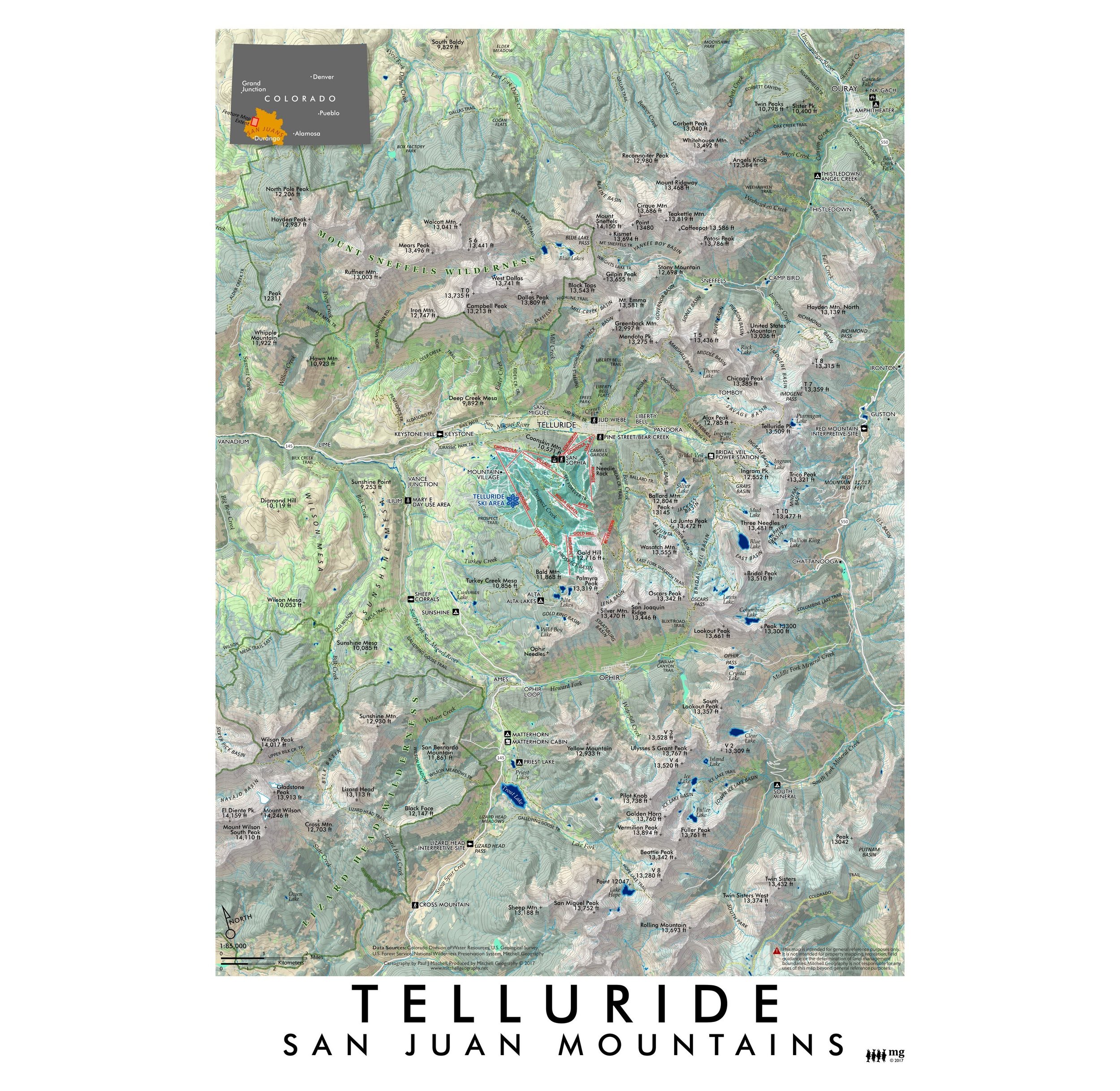
 Image 4 of 4
13 in. x 19 in. flat wall map - shipped flat.
1:18,000
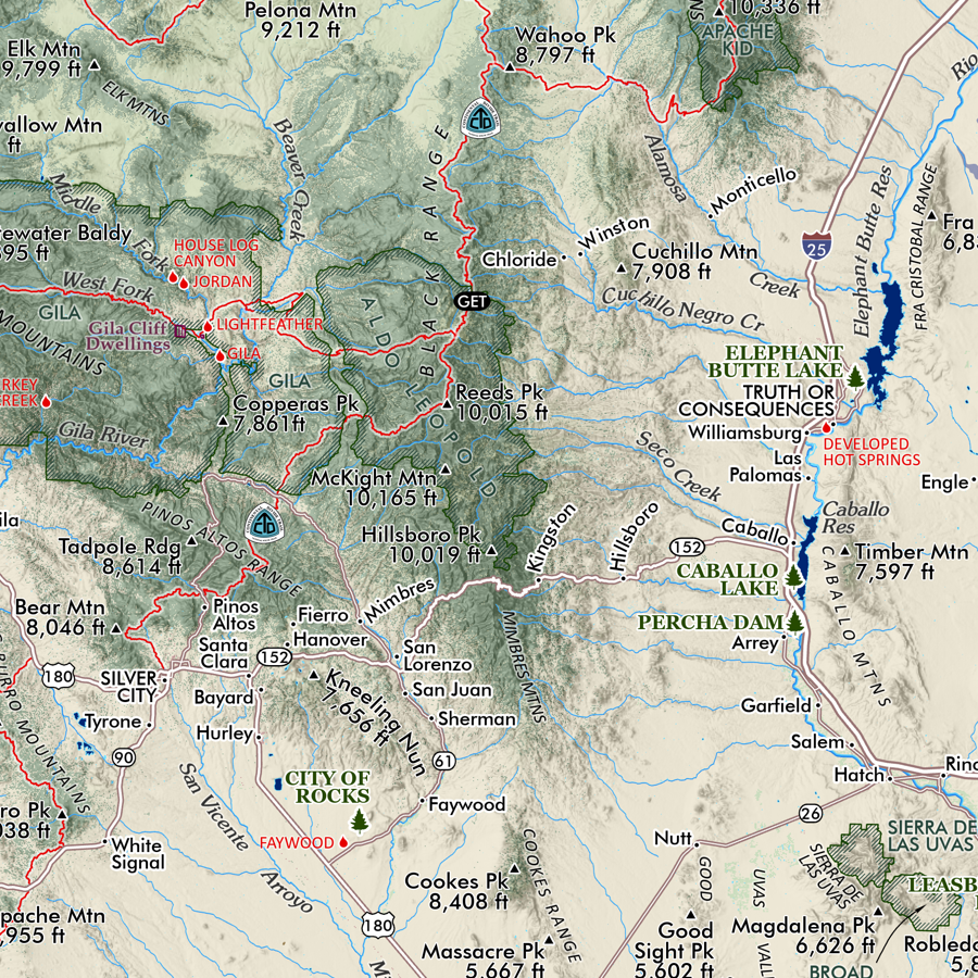
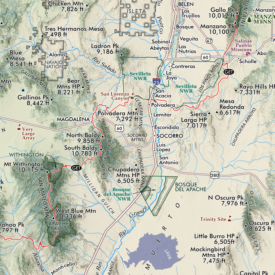
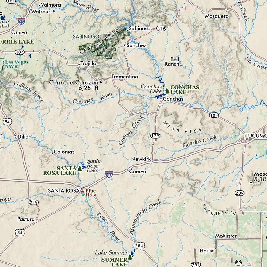
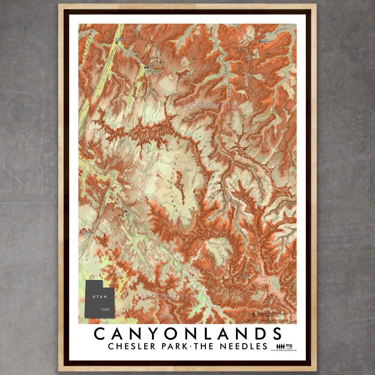
Canyonlands - Chesler Park Utah map. Feature map of the Chesler Park vicinity/central Needles District area within Canyonlands National Park. The map extent includes the primary trailheads used to access this area - Elephant Hill, Devils Kitchen, and the Joint Trail off Devil’s Lane. Trails and tracks, including OHV routes are mapped and labeled. Additional features included within the extent are Elephant Canyon to Druid Arch, the easternmost grabens of Devil’s Lane and Devil’s Pocket, and the many unnamed Needles and beautiful red rock ridges that characterize the Needles District. Spot elevations are included for reference over the detailed 3m Lidar derived shaded relief.
13 in. x 19 in. flat wall map - shipped flat.
1:18,000
Canyonlands - Chesler Park Utah map. Feature map of the Chesler Park vicinity/central Needles District area within Canyonlands National Park. The map extent includes the primary trailheads used to access this area - Elephant Hill, Devils Kitchen, and the Joint Trail off Devil’s Lane. Trails and tracks, including OHV routes are mapped and labeled. Additional features included within the extent are Elephant Canyon to Druid Arch, the easternmost grabens of Devil’s Lane and Devil’s Pocket, and the many unnamed Needles and beautiful red rock ridges that characterize the Needles District. Spot elevations are included for reference over the detailed 3m Lidar derived shaded relief.