Colorado Rivers (19 in x 13 in)
19 inch by 13 inch flat wall map, printed on heavy fine paper. Packed and shipped flat.
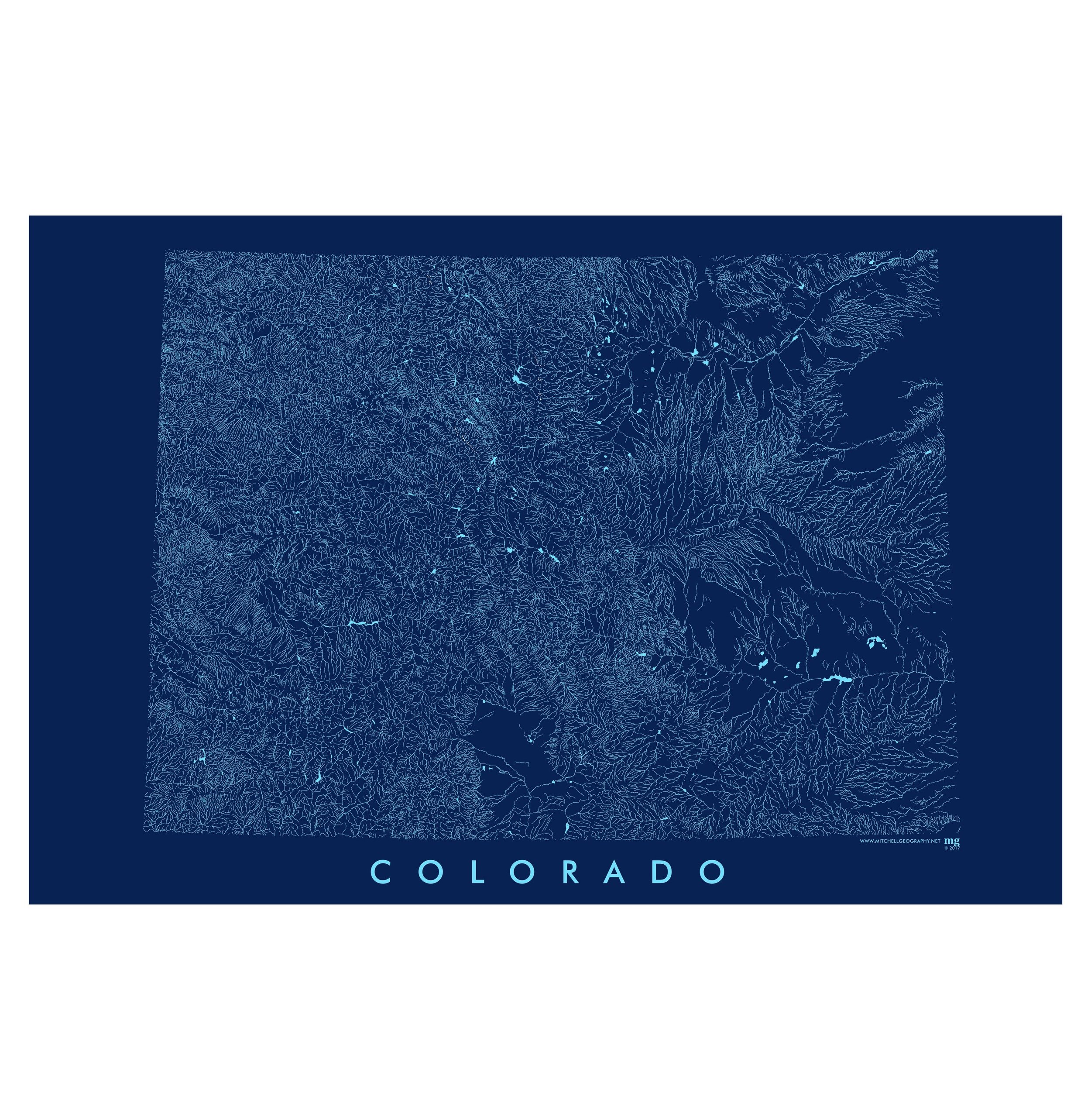
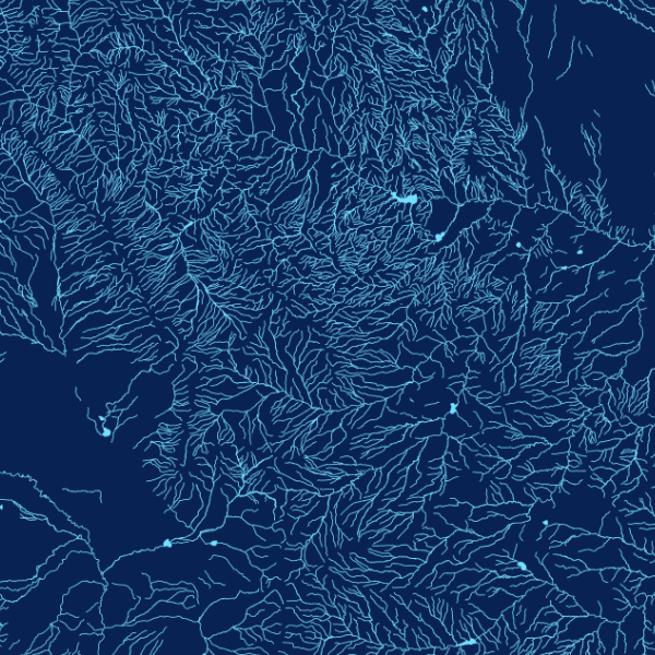
Colorado Rivers. Colorado's surface hydrology -- rivers, streams, lakes, and reservoirs cookie cut to the rectangular political boundary of the State. The Central Colorado State Plane projection is used.
19 inch by 13 inch flat wall map, printed on heavy fine paper. Packed and shipped flat.
Colorado Rivers. Colorado's surface hydrology -- rivers, streams, lakes, and reservoirs cookie cut to the rectangular political boundary of the State. The Central Colorado State Plane projection is used.


19 inch by 13 inch flat wall map, printed on heavy fine paper. Packed and shipped flat.
Colorado Rivers. Colorado's surface hydrology -- rivers, streams, lakes, and reservoirs cookie cut to the rectangular political boundary of the State. The Central Colorado State Plane projection is used.