Ecola State Park Oregon (19 in x 13 in)
1:21,250
13 inch by 19 inch flat wall map, printed on heavy fine paper. Packed and shipped flat.
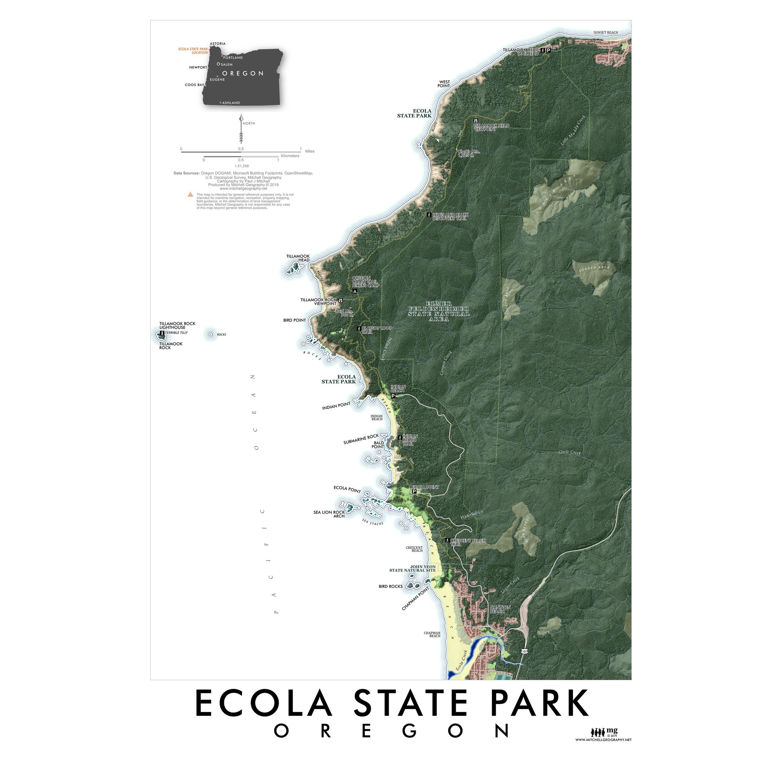
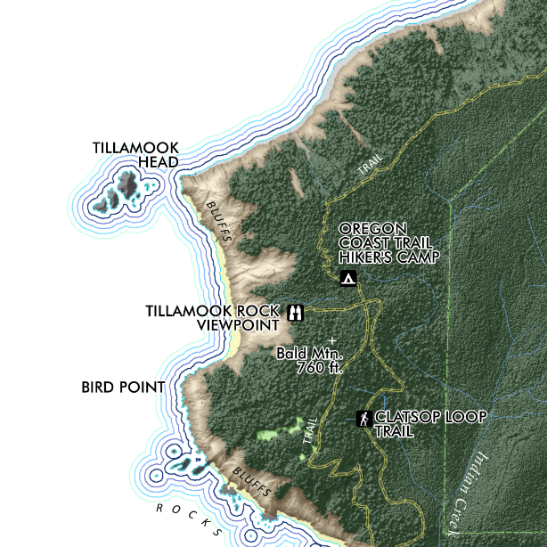
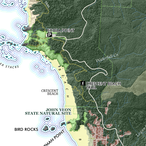
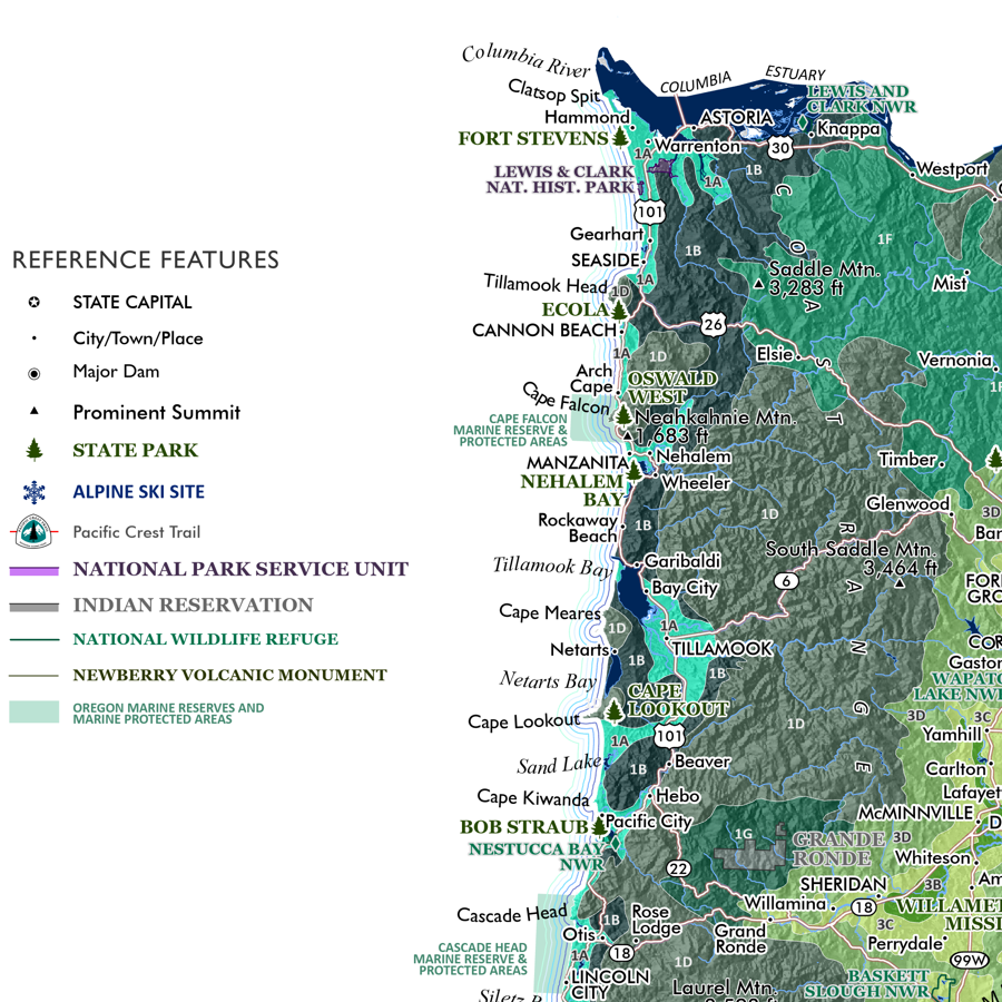
Ecola State Park, Oregon. Feature map of Ecola on the North Coast of Oregon. A stunningly beautiful place, and for those of us in a certain age, the memorable backdrop for some great Goonies scenes! Map makes use of the Oregon DOGAMI Lidar data, the highest hit so you can make out the tops of every tree within the park area and the adjacent Feldenheimer State Natural Area. Trails rocks, sea stacks, etc. included for reference and labeled as named.
1:21,250
13 inch by 19 inch flat wall map, printed on heavy fine paper. Packed and shipped flat.
Ecola State Park, Oregon. Feature map of Ecola on the North Coast of Oregon. A stunningly beautiful place, and for those of us in a certain age, the memorable backdrop for some great Goonies scenes! Map makes use of the Oregon DOGAMI Lidar data, the highest hit so you can make out the tops of every tree within the park area and the adjacent Feldenheimer State Natural Area. Trails rocks, sea stacks, etc. included for reference and labeled as named.


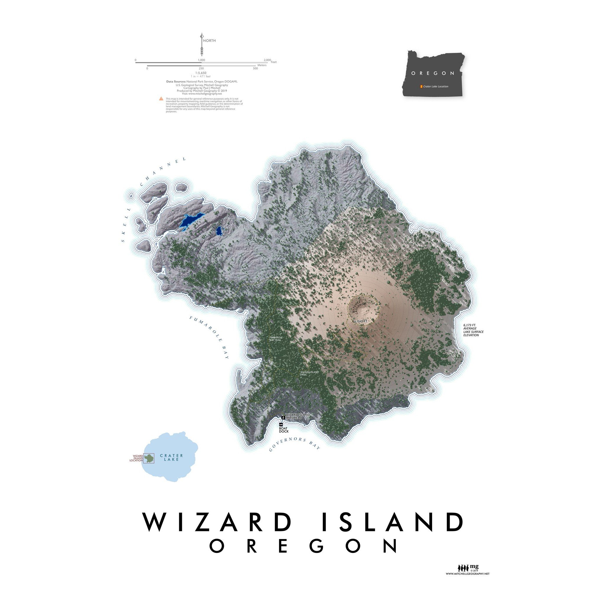
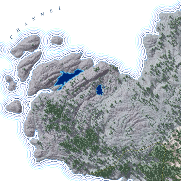
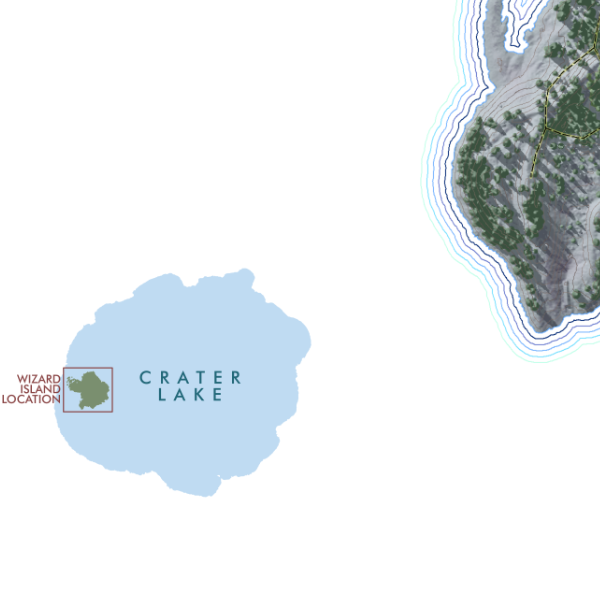
![Wizard Island [Oregon] (19 in x 13 in)](https://images.squarespace-cdn.com/content/v1/64dfe5c447627a1ab4b29d07/1695326300993-0JLTRQOZ5G9JXGTE15L1/WizardIsland1319_framed.JPG)