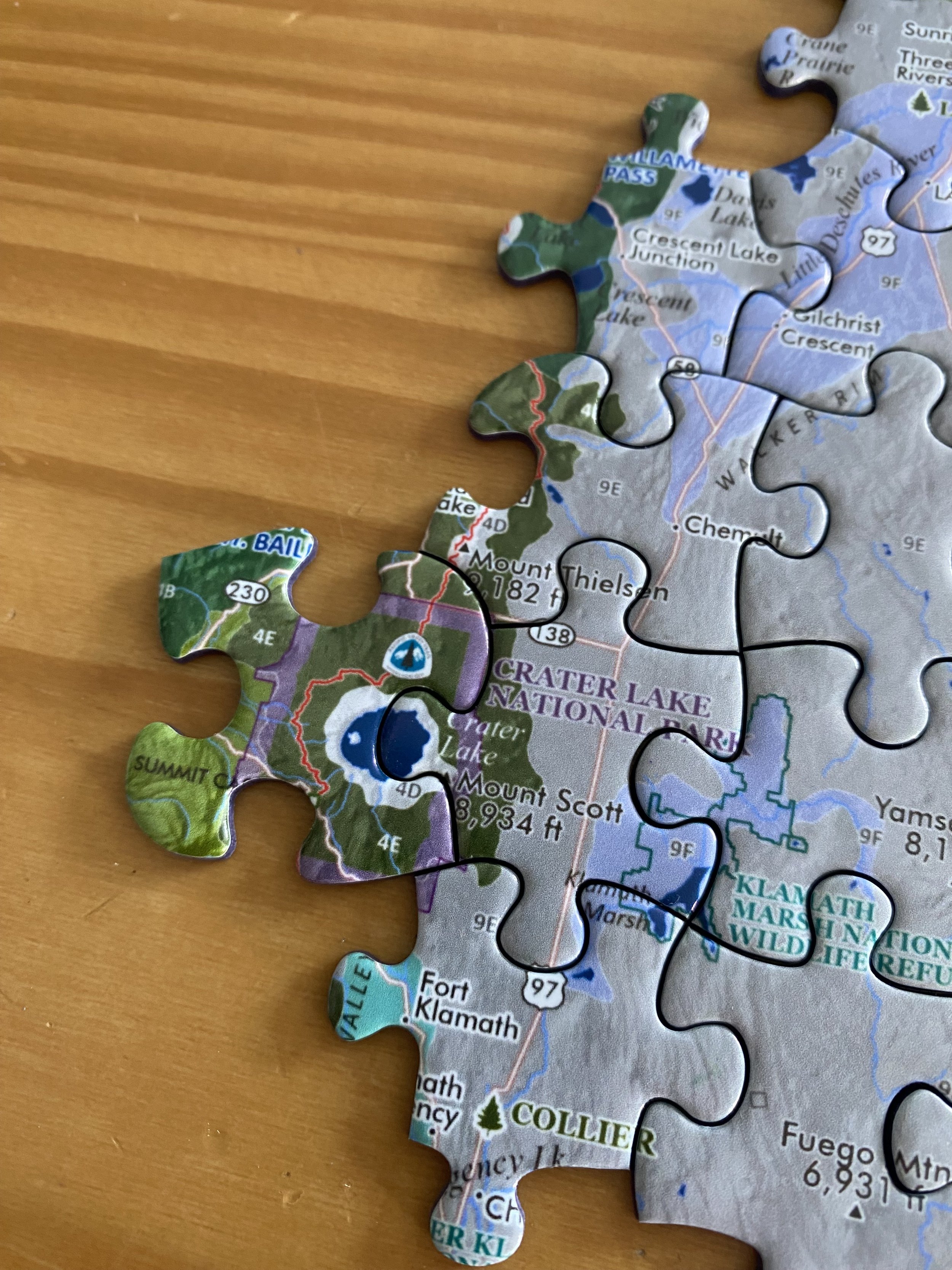
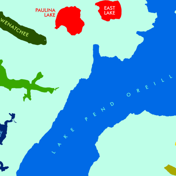
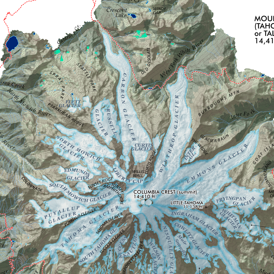
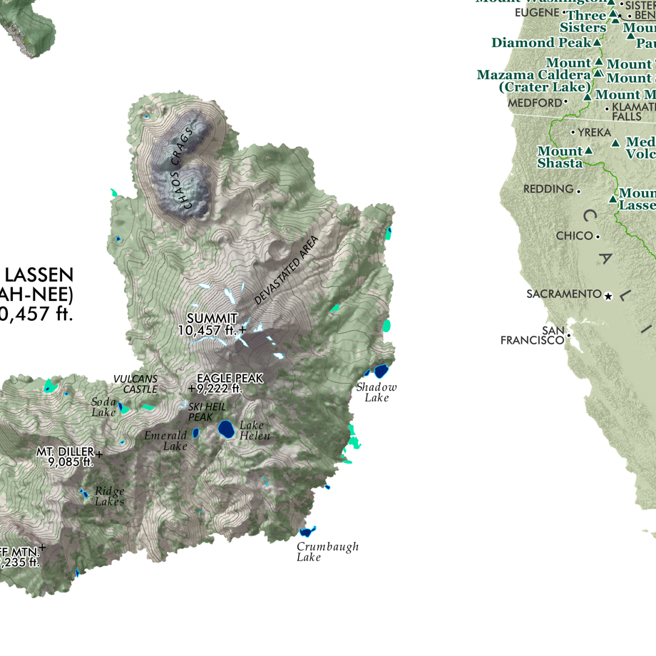
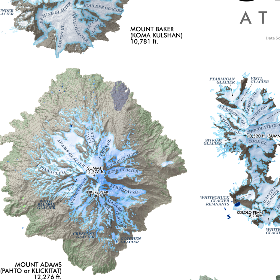
Image 1 of 5
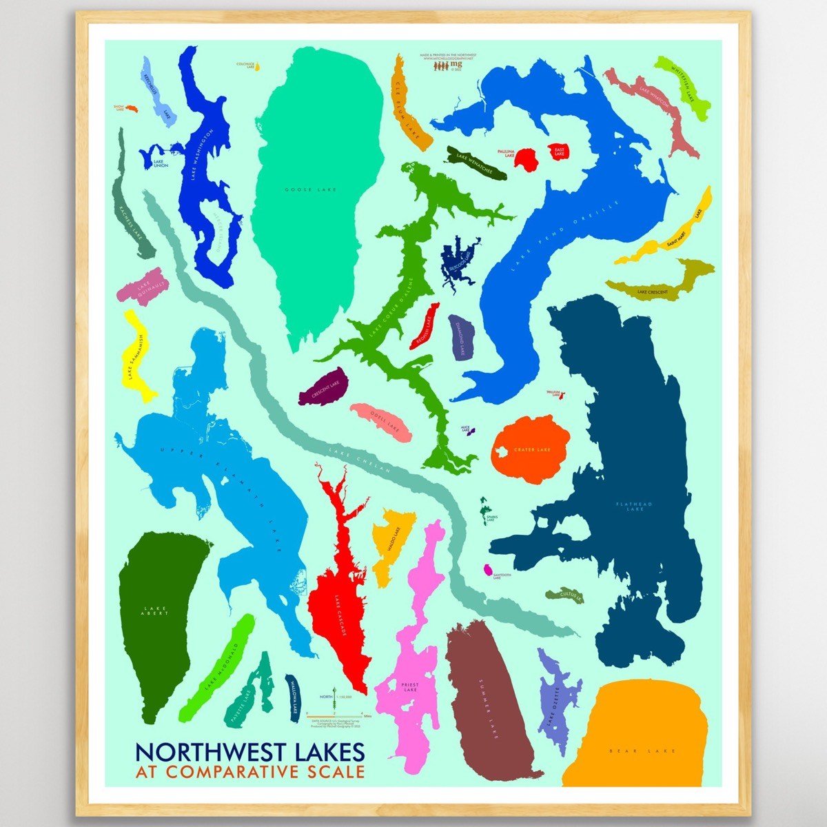
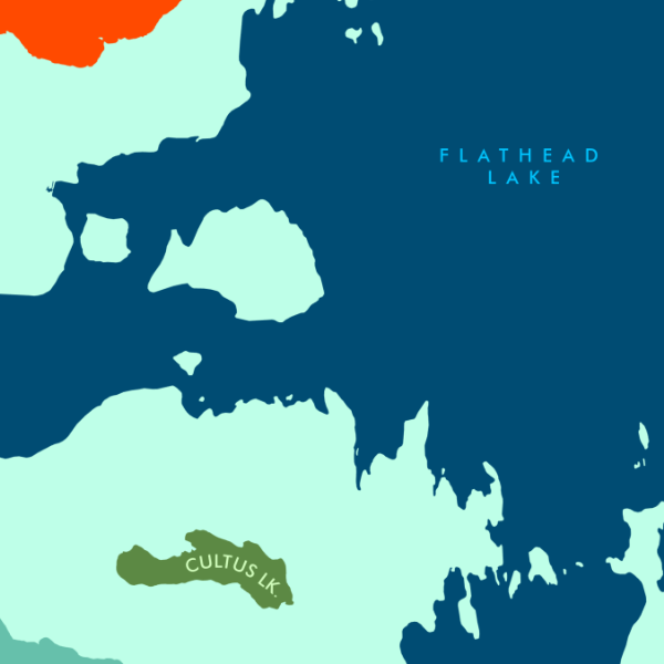
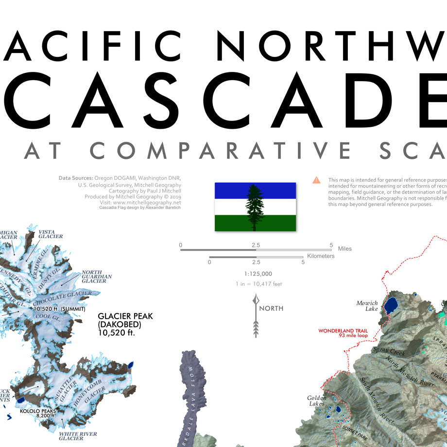
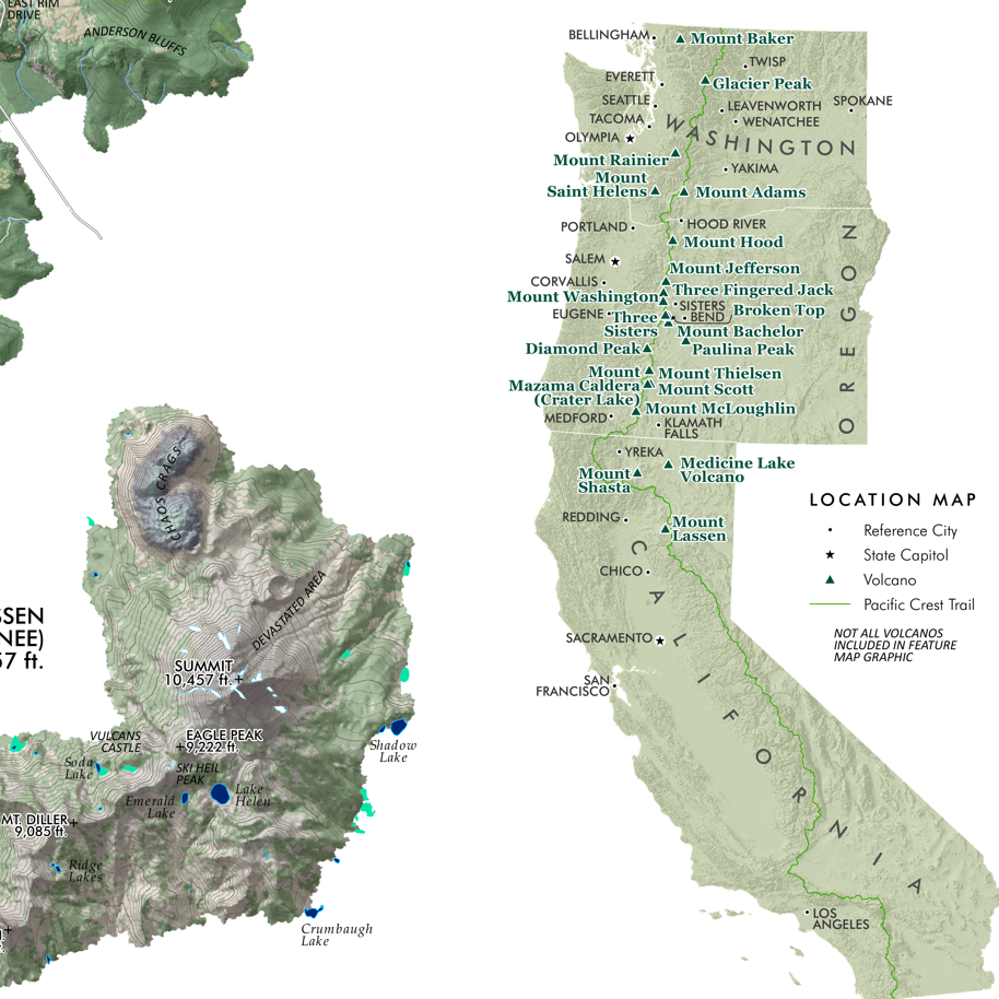
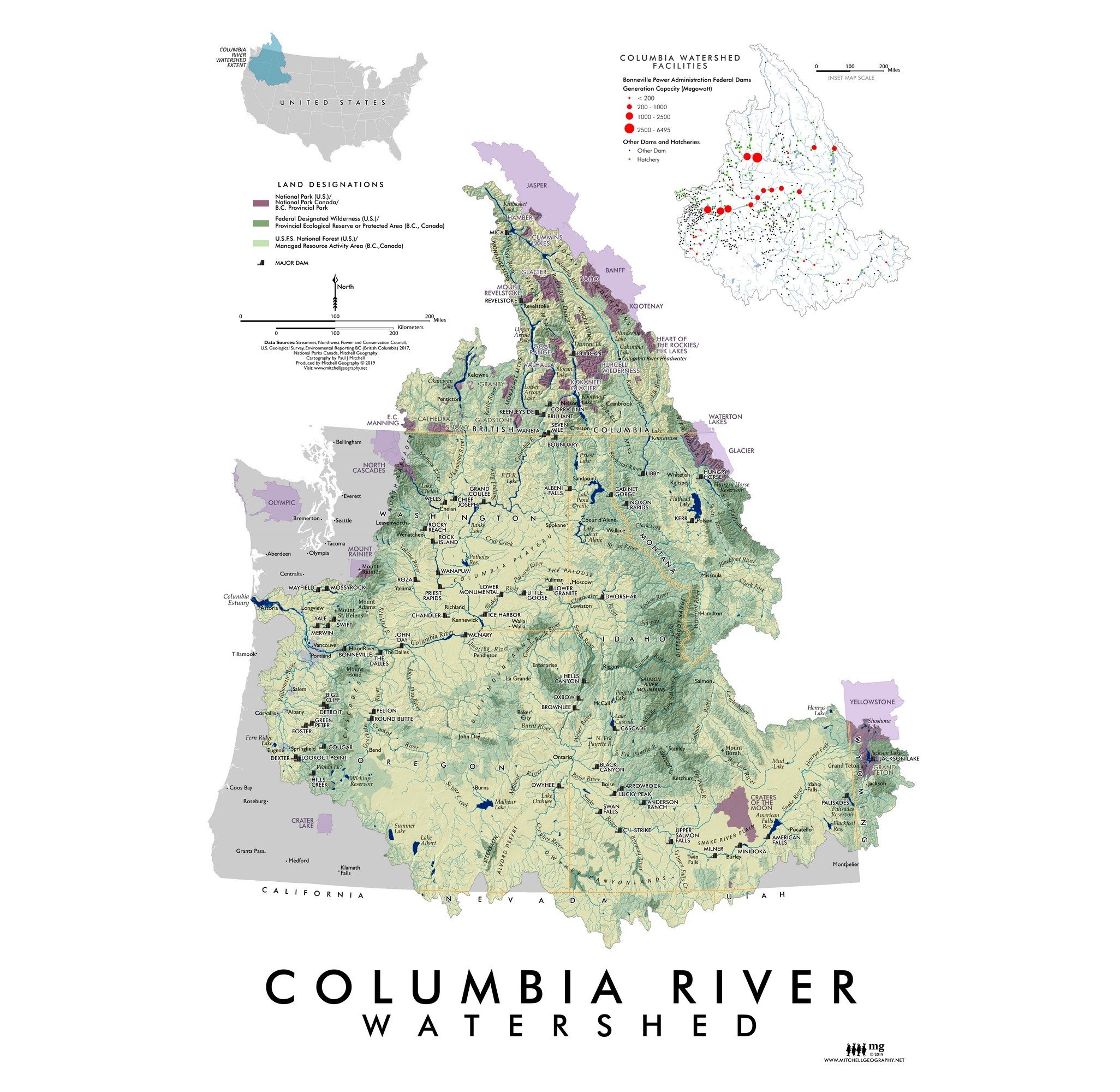
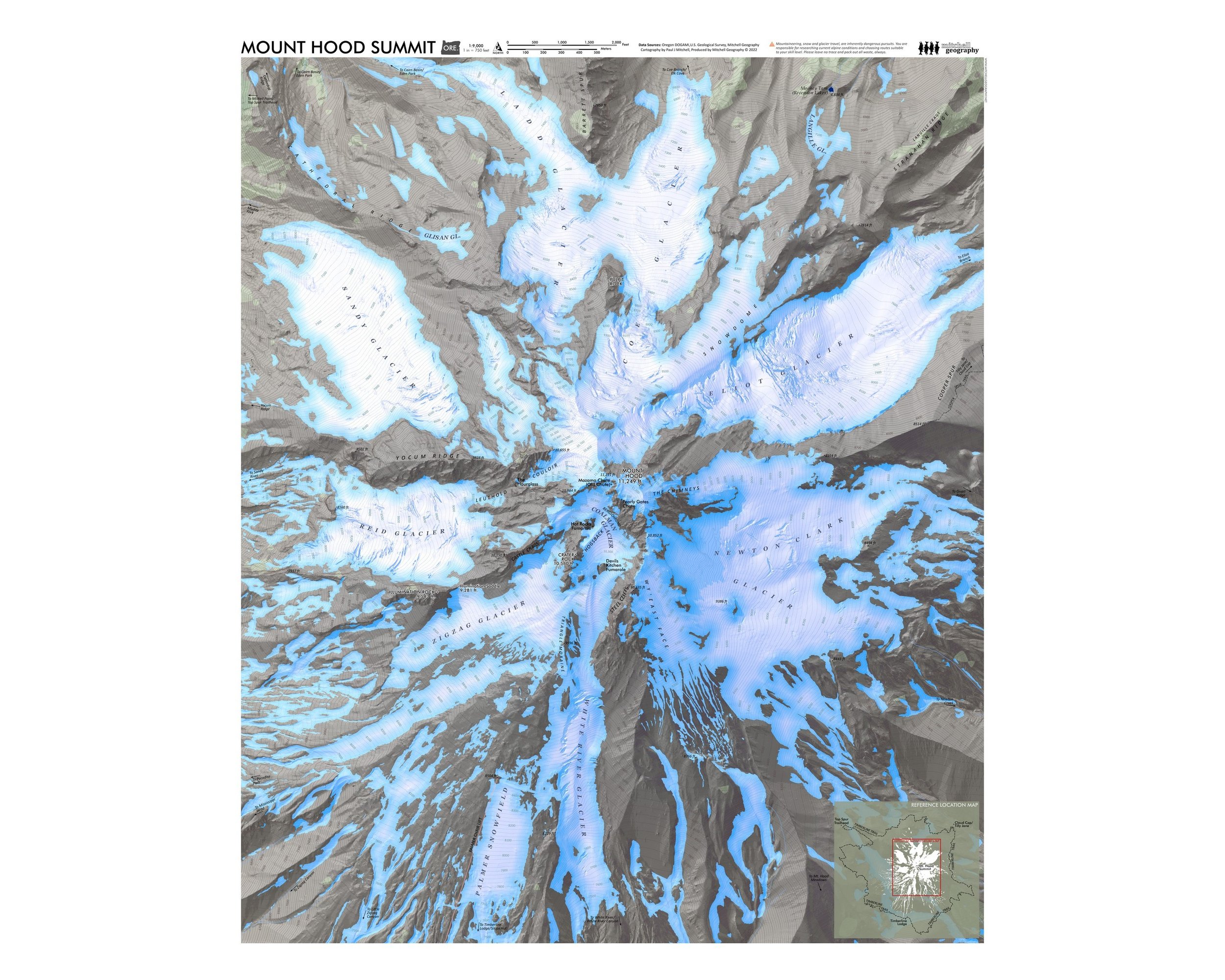 Image 2 of 5
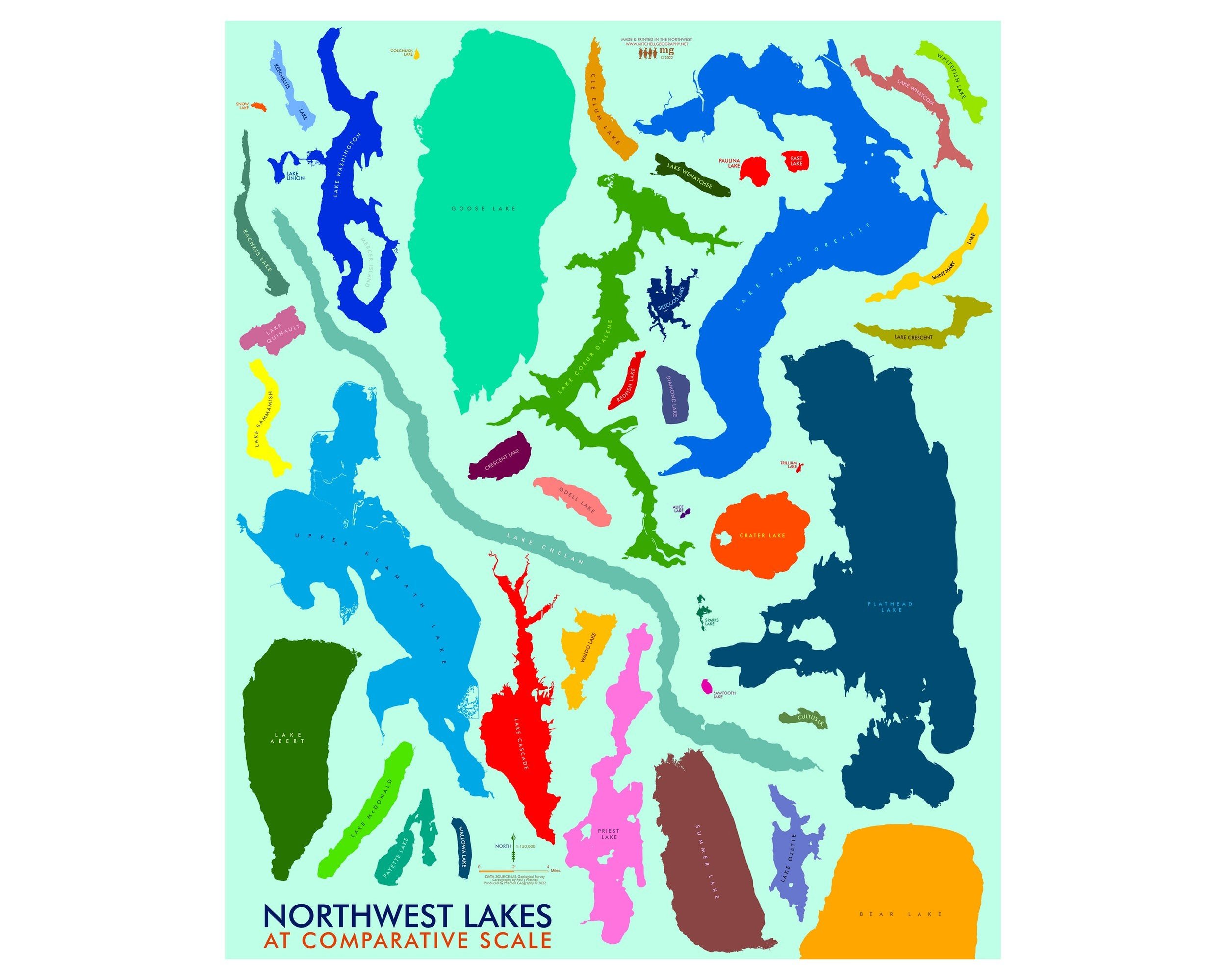
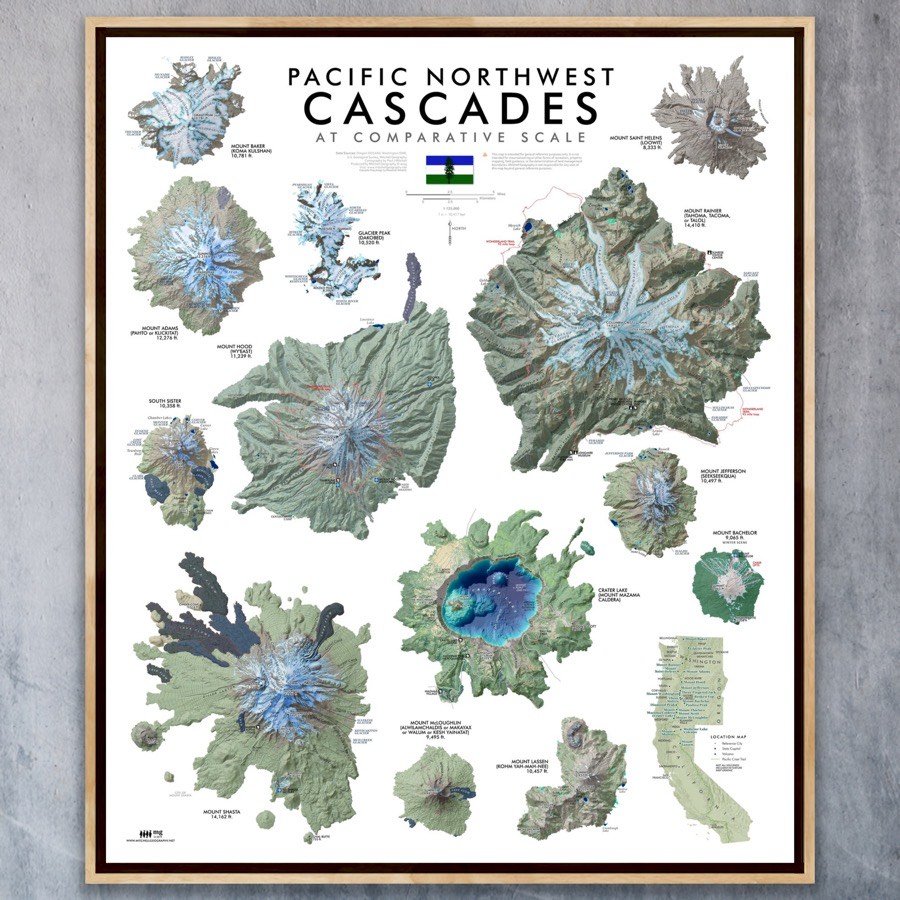
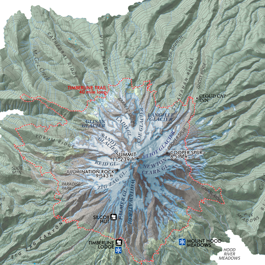
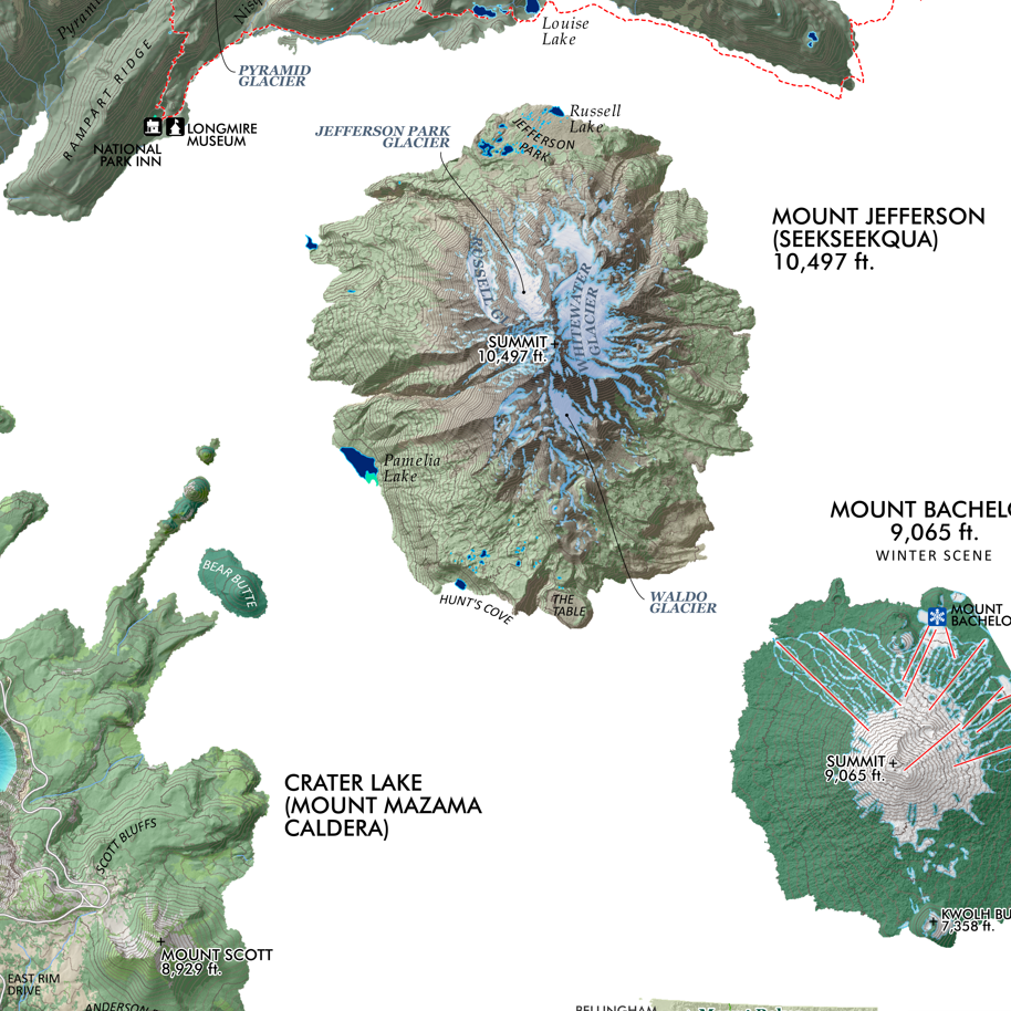
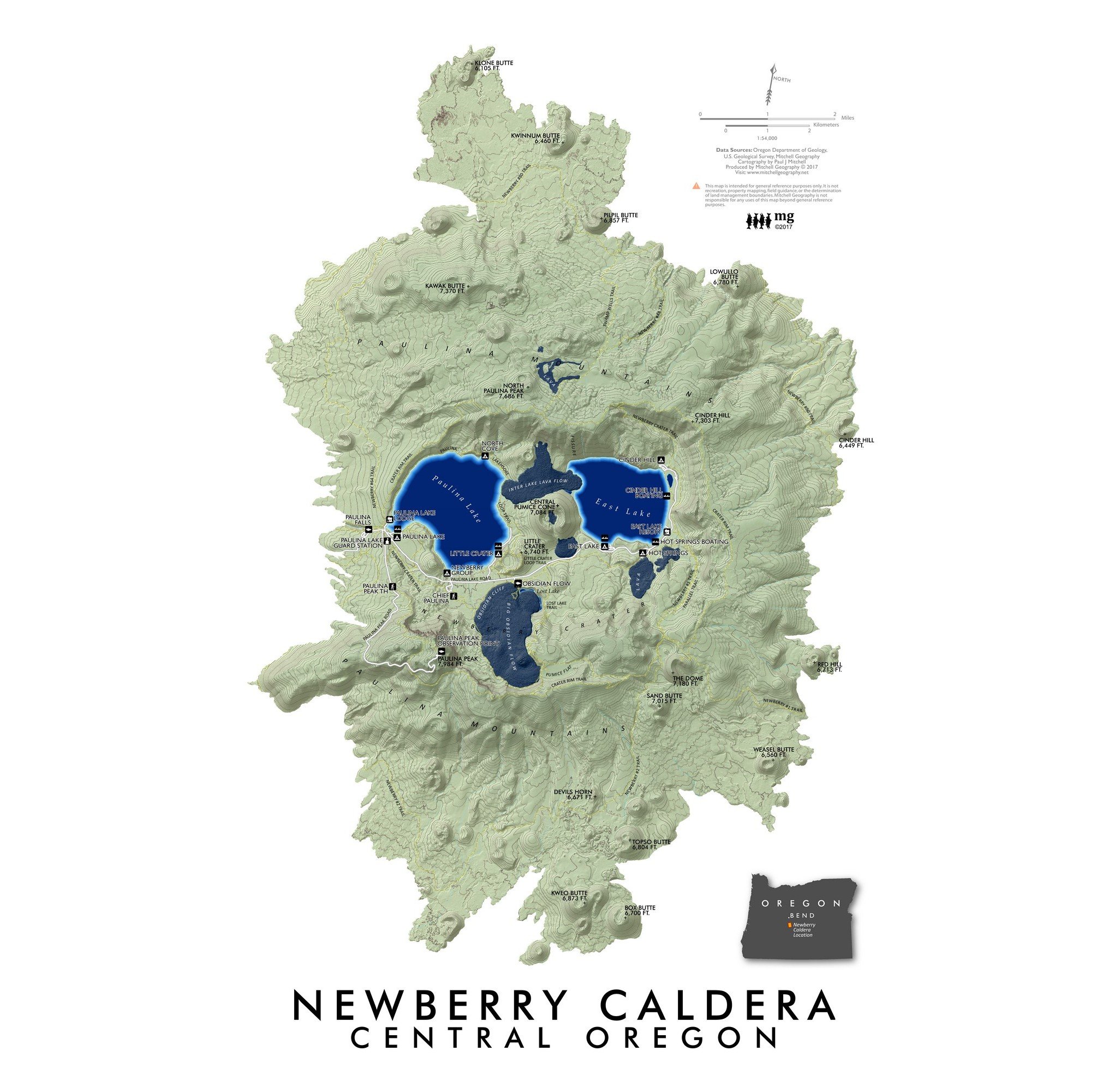
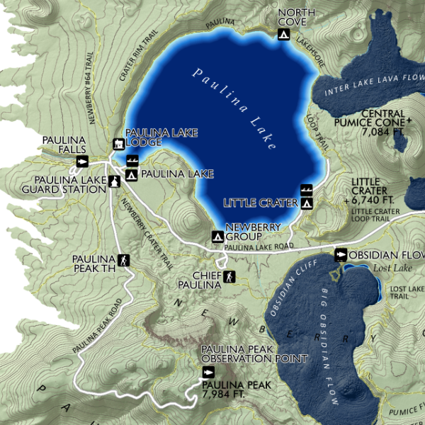
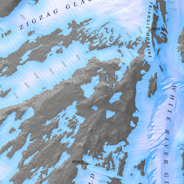 Image 3 of 5
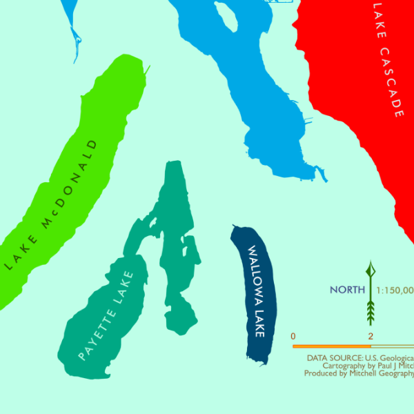
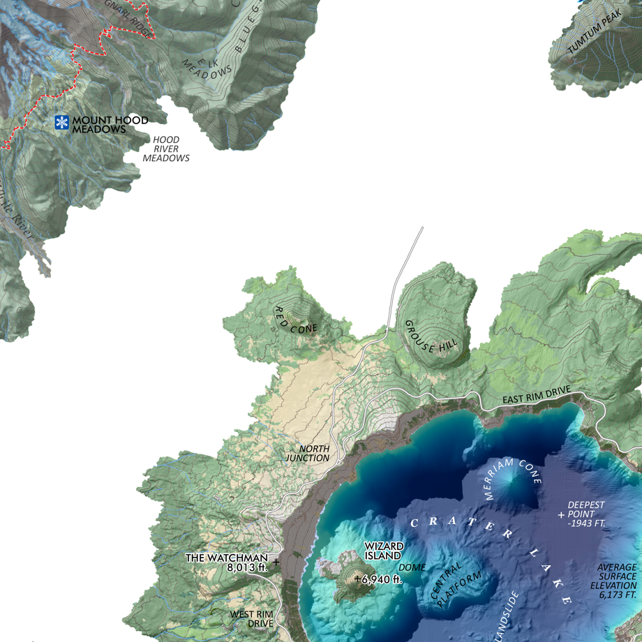
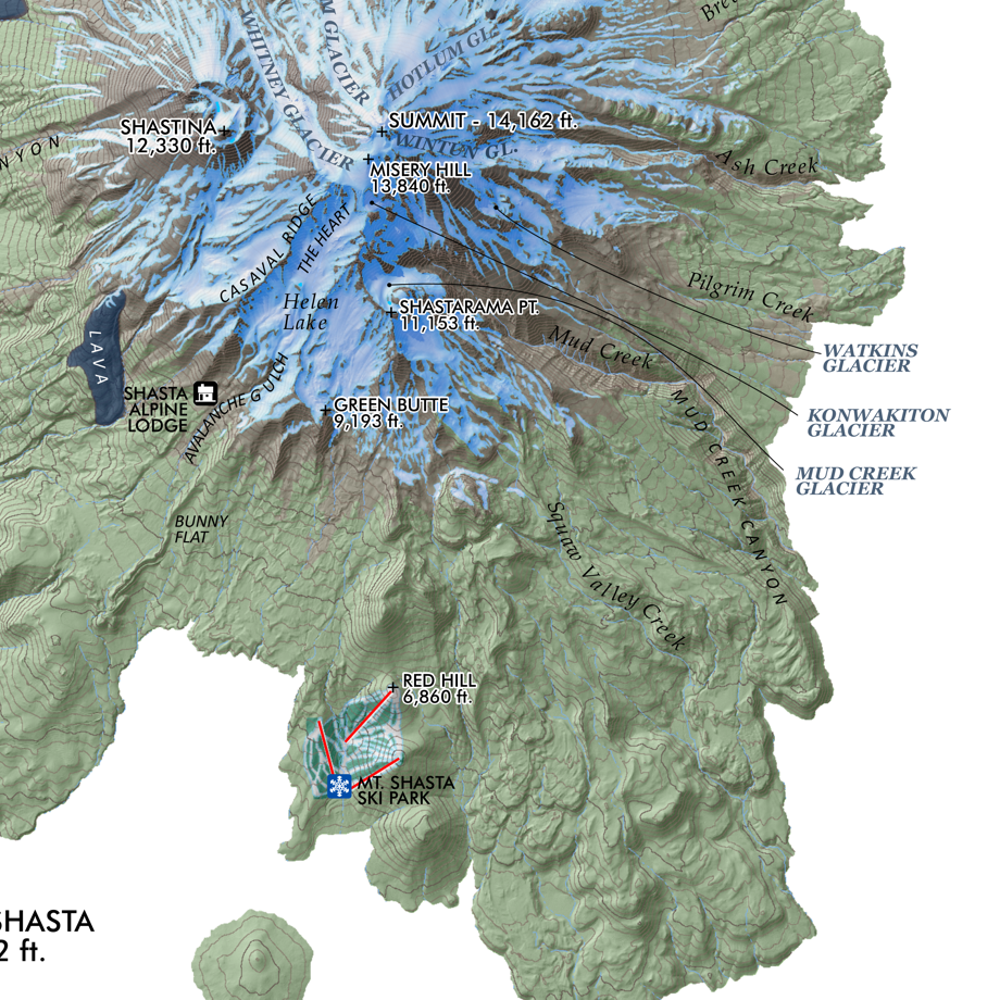
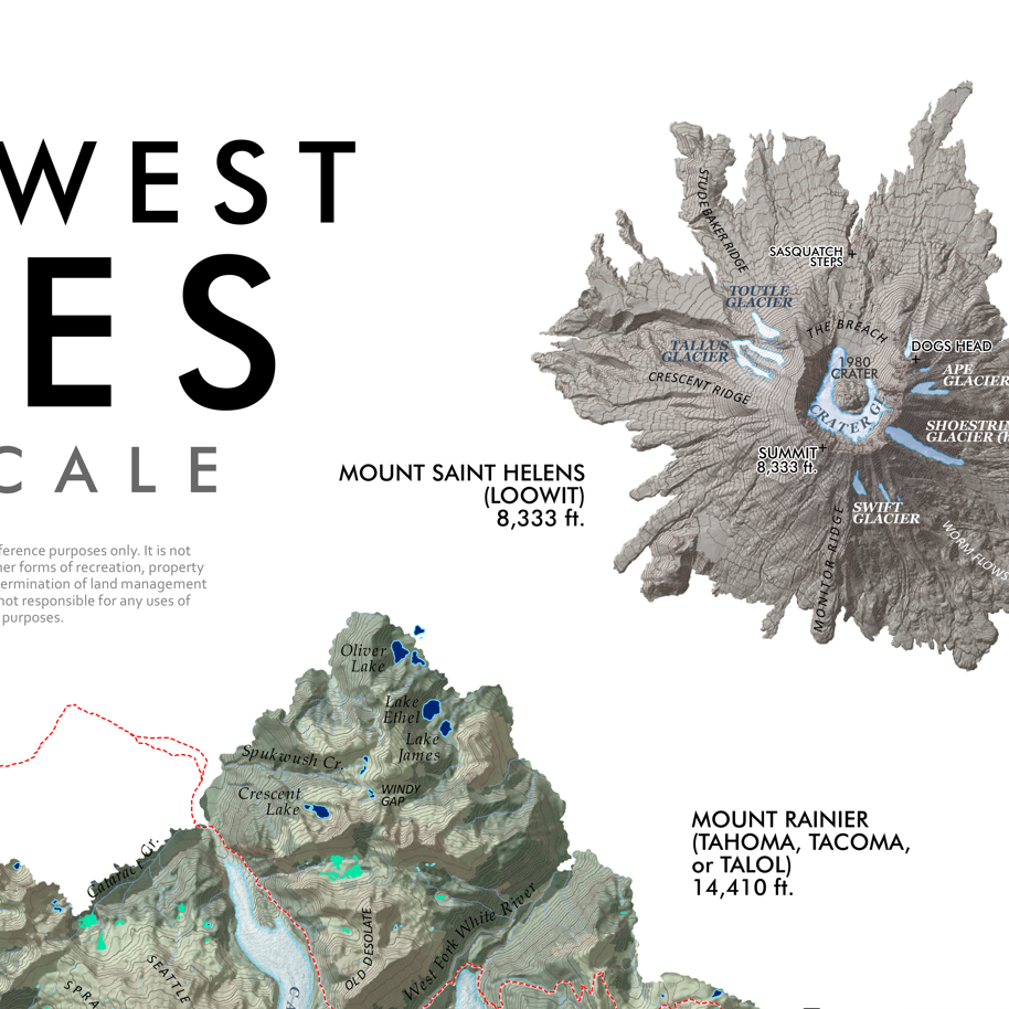
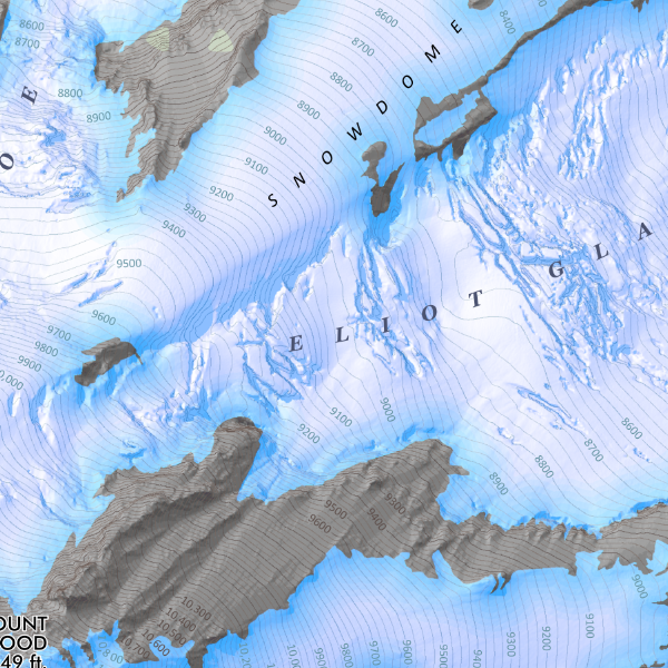 Image 4 of 5
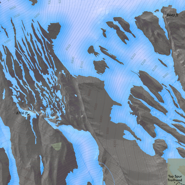 Image 5 of 5
1:9,000
24 inch x 20 inch — flat wall map, printed on a heavy fine paper — shipped rolled.
Mount Hood Summit, Oregon. Detailed feature map of Mount Hood’s summit vicinity (generally depicting elevations over 7,500 ft). Based upon Oregon DOGAMI’s detailed LiDAR elevation model, my visually prominent mid-summer seasonal glacier and snowfield extent is derived at 1:2,000 from the same LiDAR model and corrected to current aerial imagery. Landforms and provincial feature names of chutes, faces, snowfields, etc are included. Frequent 100ft elevation contours are labeled across every major snowfield and glacier.