Skip to Content
maps
etc
stockists
contact
Mitchell Geography
0
0
maps
etc
stockists
contact
Mitchell Geography
0
0
maps
etc
stockists
contact
map shop McCall Idaho (19 in x 13 in)
McCall Idaho Map Image 1 of 3
McCall Idaho Map
McCall Idaho Map Image 2 of 3
McCall Idaho Map
McCall Idaho Map Image 3 of 3
McCall Idaho Map
McCall Idaho Map
McCall Idaho Map
McCall Idaho Map

McCall Idaho (19 in x 13 in)

$24.00
Sold Out

1:66,500

13 inch by 19 inch flat wall map, printed on heavy fine paper. Packed and shipped flat.

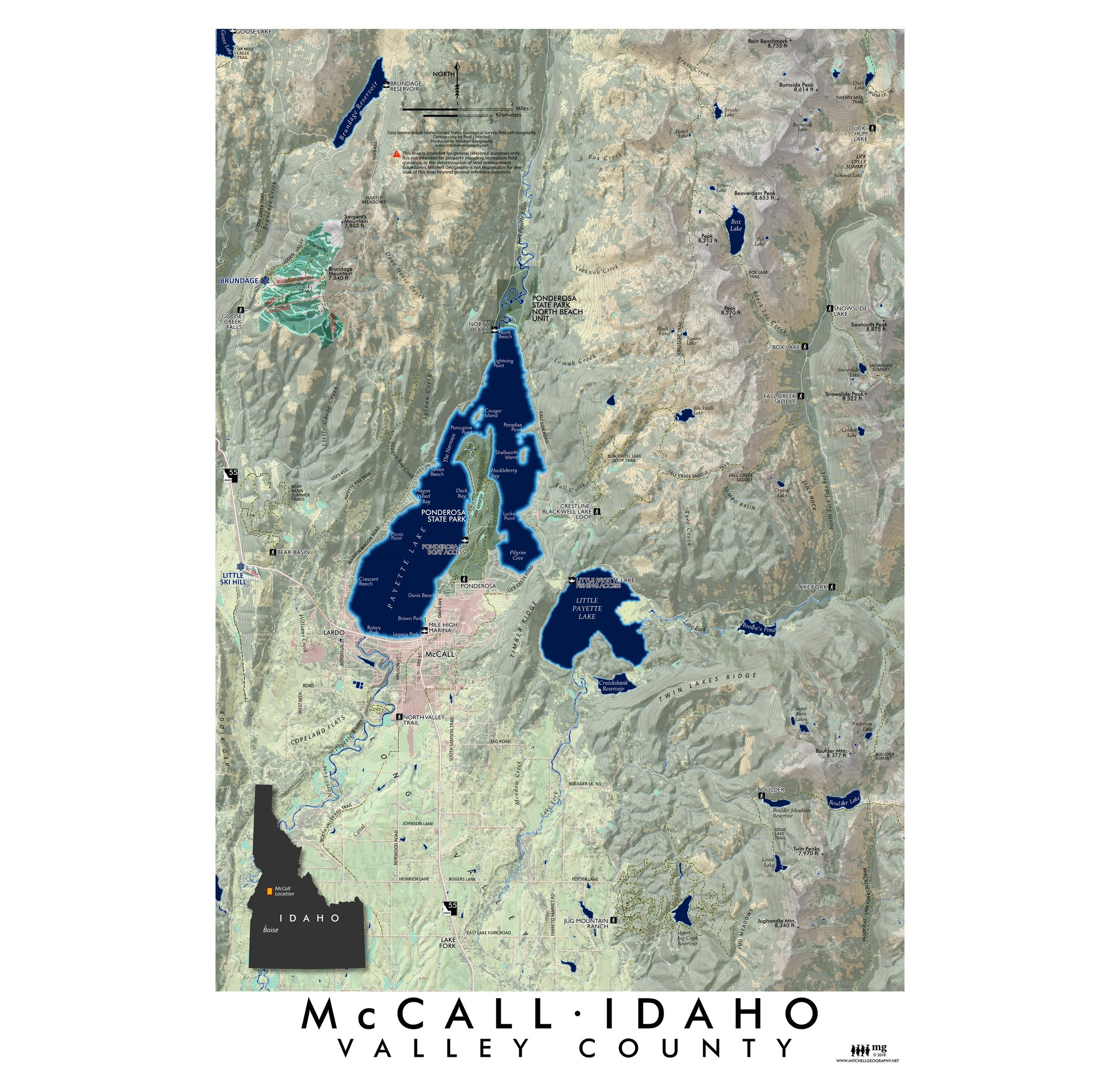
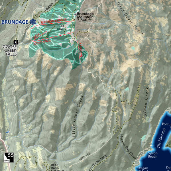
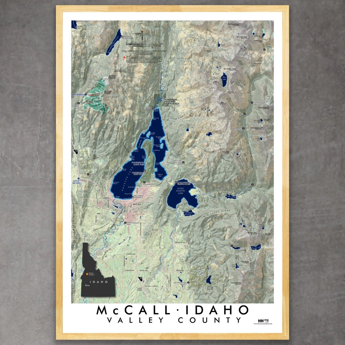
McCall, Valley County, Idaho. A contemporary topographic reference map of the McCall, Idaho vicinity including Brundage Mountain, Lick Creek Summit, and Jughandle Mountain within it's extent. USFS trails, Ponderosa SP trails, boating access, ski area details (lifts and alpine runs), and named trailheads are included for reference. 3rd Edition print.

Add To Cart

1:66,500

13 inch by 19 inch flat wall map, printed on heavy fine paper. Packed and shipped flat.

McCall, Valley County, Idaho. A contemporary topographic reference map of the McCall, Idaho vicinity including Brundage Mountain, Lick Creek Summit, and Jughandle Mountain within it's extent. USFS trails, Ponderosa SP trails, boating access, ski area details (lifts and alpine runs), and named trailheads are included for reference. 3rd Edition print.

Lakes of Idaho (19 in x 13 in)
$24.00
Payette Lake (19 in x 13 in)
$24.00

1:66,500

13 inch by 19 inch flat wall map, printed on heavy fine paper. Packed and shipped flat.

McCall, Valley County, Idaho. A contemporary topographic reference map of the McCall, Idaho vicinity including Brundage Mountain, Lick Creek Summit, and Jughandle Mountain within it's extent. USFS trails, Ponderosa SP trails, boating access, ski area details (lifts and alpine runs), and named trailheads are included for reference. 3rd Edition print.
You Might Also Like

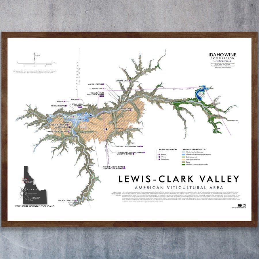
Lewis-Clark Valley (American Viticultural Area) Lewis-Clark Valley (AVA) Map - Idaho and Washington Lewis-Clark Valley (AVA) Map - Idaho and Washington Lewis-Clark Valley (AVA) Map - Idaho and Washington
Lewis-Clark Valley (American Viticultural Area)
from $10.00
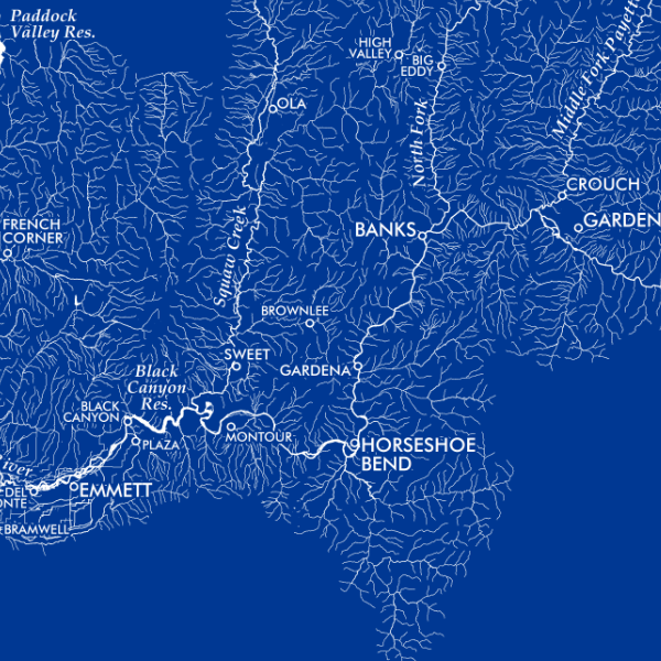
Payette River Watershed (19 in x 13 in) Payette River Watershed Idaho Map Payette River Watershed Idaho Map
Payette River Watershed (19 in x 13 in)
$24.00
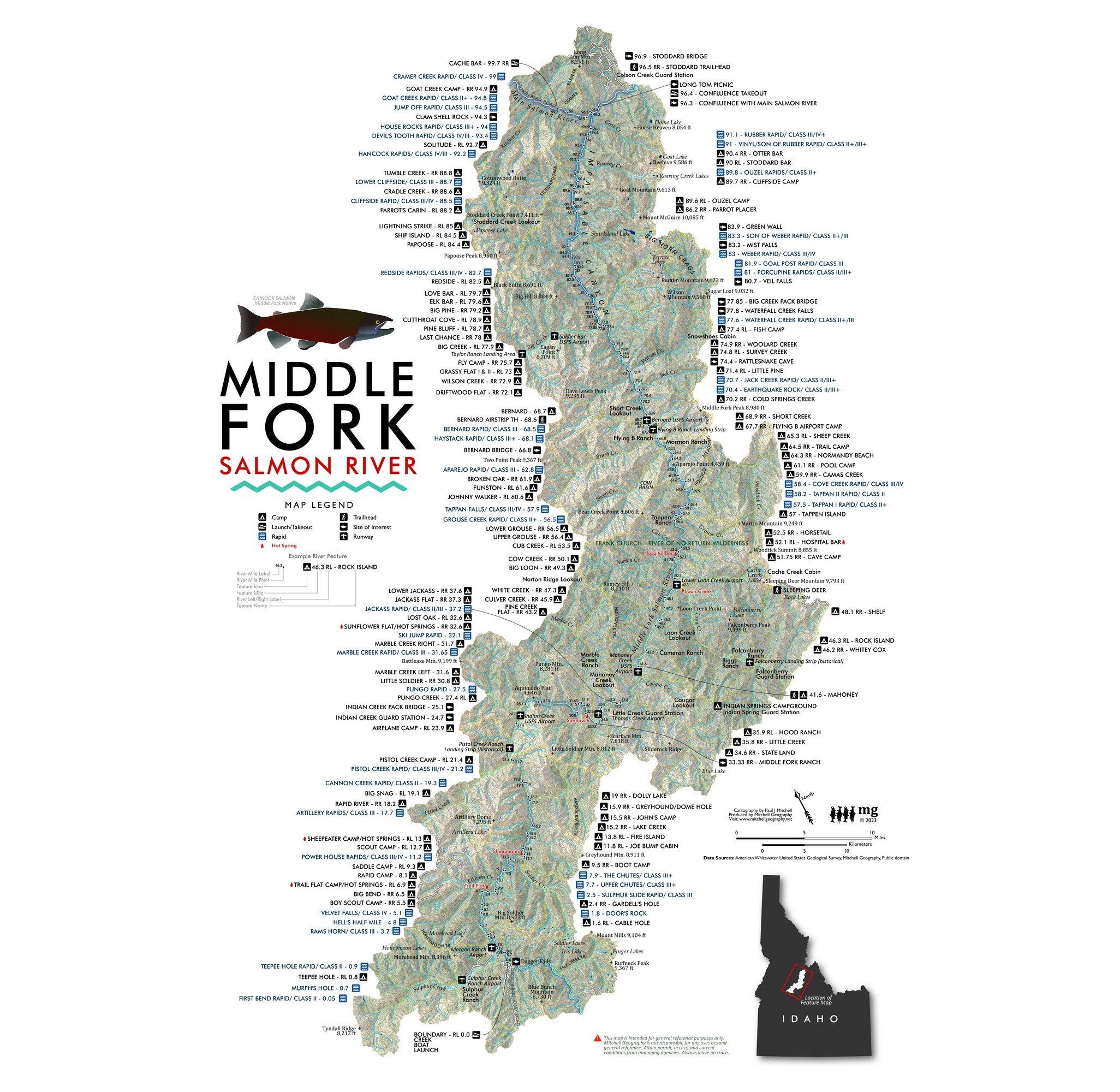
Middle Fork Salmon River Idaho Middle Fork Salmon River Idaho Rafting Map Whitewater Rivers Stanley Idaho river trip Frank Church Wilderness River of No Return Middle Fork Salmon River Idaho Rafting Map Whitewater Rivers Stanley Idaho river trip Frank Church Wilderness River of No Return
Middle Fork Salmon River Idaho
from $24.00
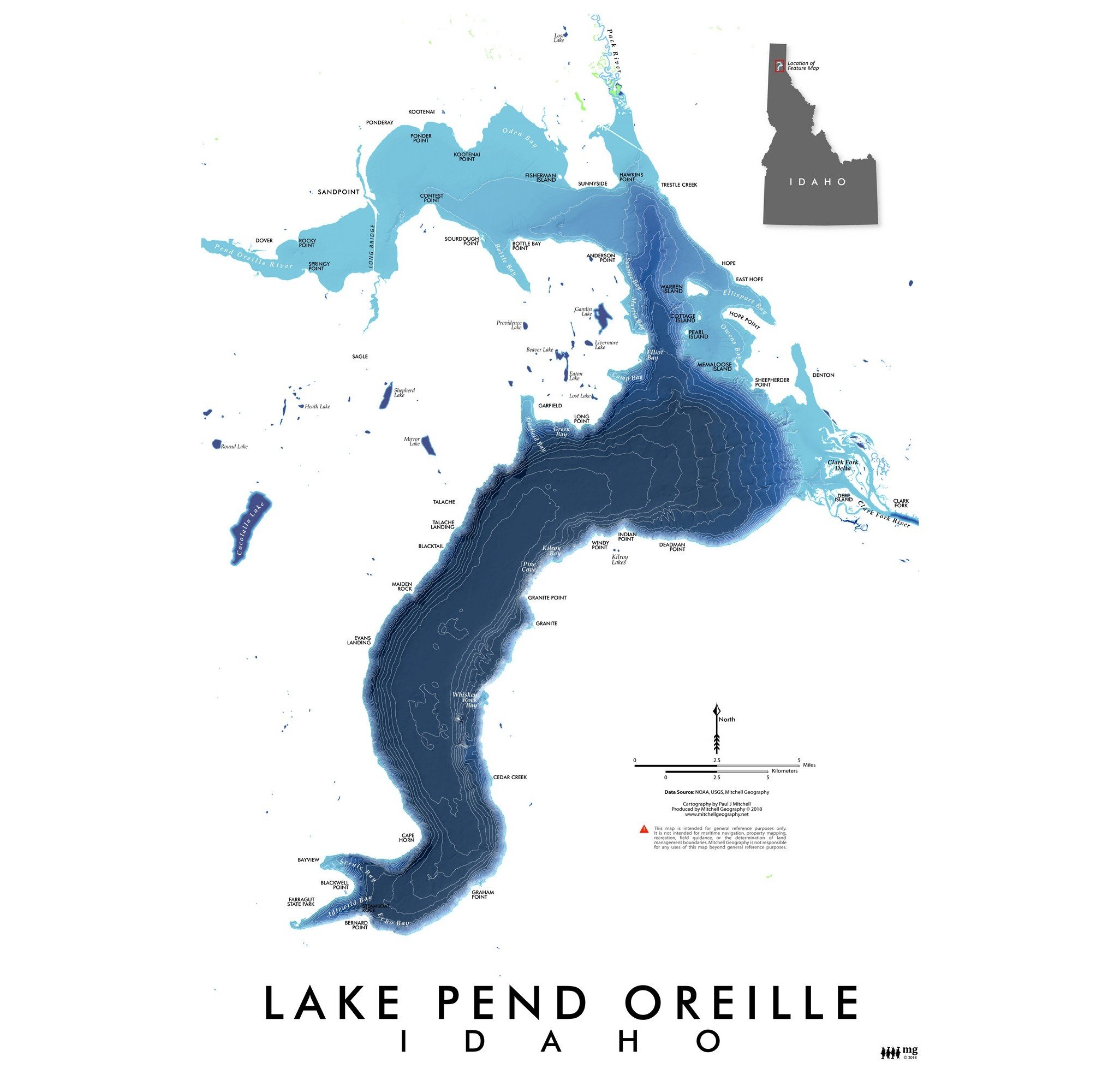
Lake Pend Oreille Lake Pend Oreille Idaho Map Lake Pend Oreille Idaho Map
Lake Pend Oreille
$24.00
Lakes of Idaho (19 in x 13 in) Lakes of Idaho Comparative Scale Map Lakes of Idaho Comparative Scale Map
Lakes of Idaho (19 in x 13 in)
$24.00

© Mitchell Geography 2013 - 2025