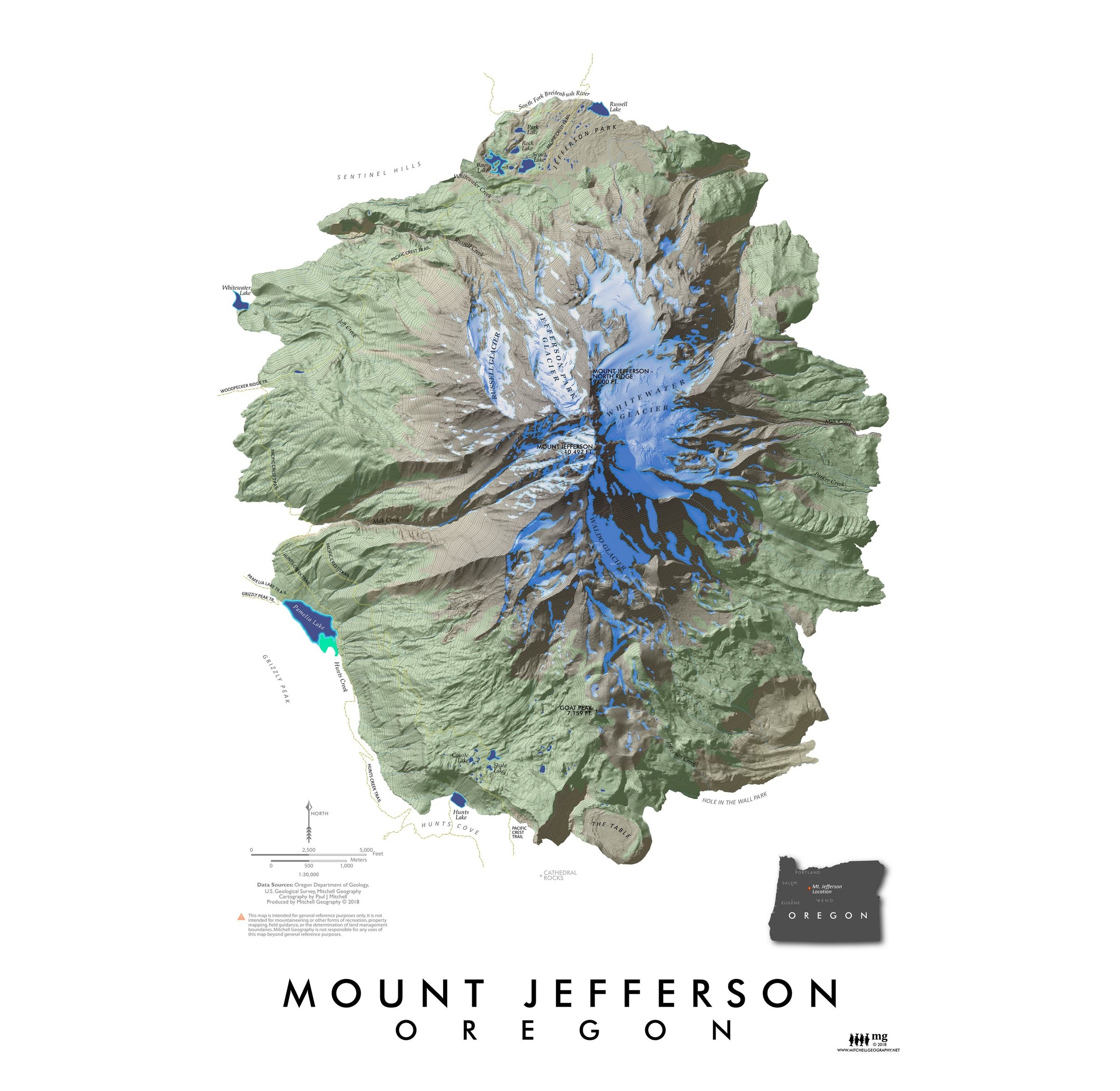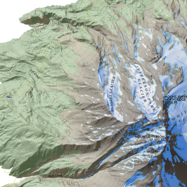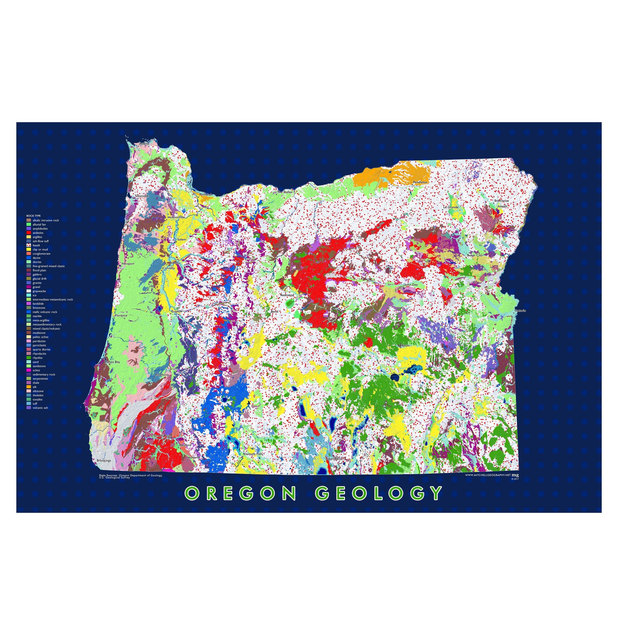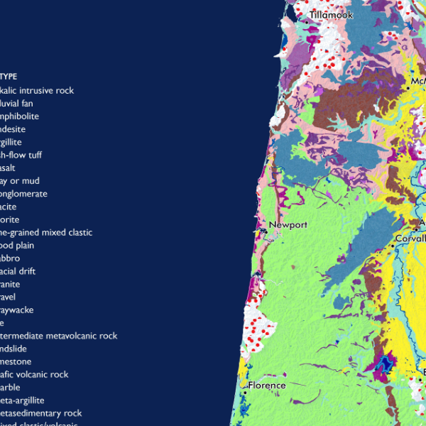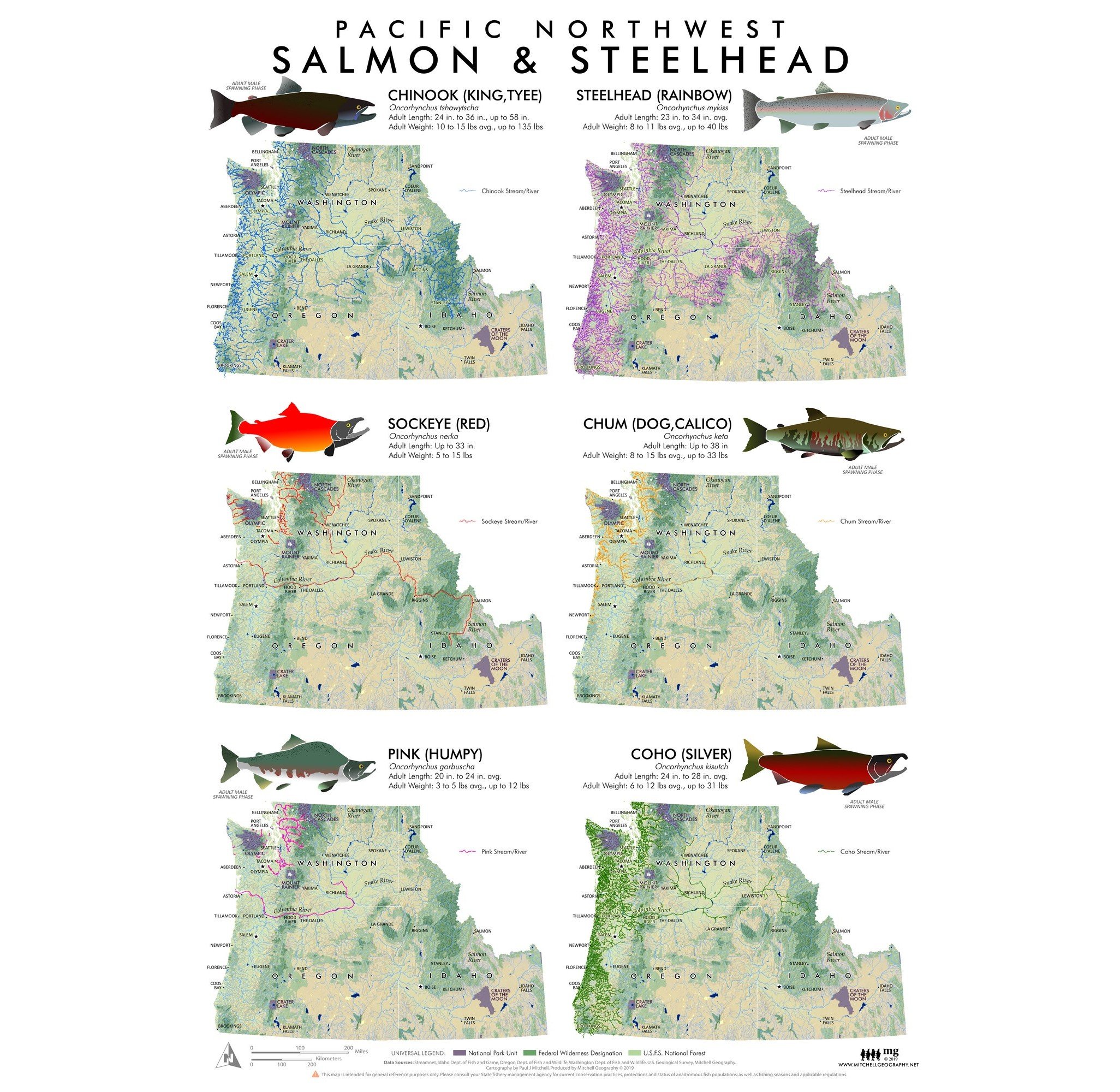
Pacific Northwest Salmon & Steelhead
24 inch x 18 inch OR 13 inch by 19 inch flat wall map, printed on heavy fine paper. Shipped rolled (24 inch version) or flat (13 x 19 inch).
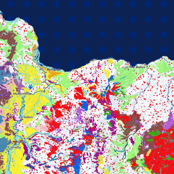
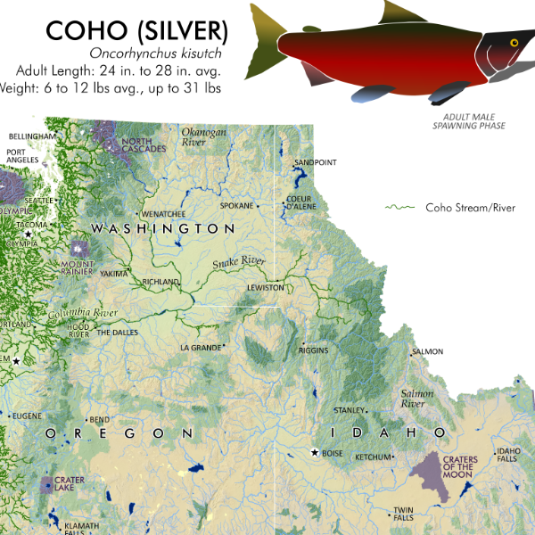
Regional compilation fishery map of the anadromous (sea run) Pacific Salmon and Steelhead Trout species presence within the states of Idaho, Oregon, and Washington. This title features graphic representations of the six fish (in distinctive male spawning phases) with typical length and weight, alongside inset maps depicting the spatial extent and distribution of the fishery as documented during the last decade.
24 inch x 18 inch OR 13 inch by 19 inch flat wall map, printed on heavy fine paper. Shipped rolled (24 inch version) or flat (13 x 19 inch).
Regional compilation fishery map of the anadromous (sea run) Pacific Salmon and Steelhead Trout species presence within the states of Idaho, Oregon, and Washington. This title features graphic representations of the six fish (in distinctive male spawning phases) with typical length and weight, alongside inset maps depicting the spatial extent and distribution of the fishery as documented during the last decade.