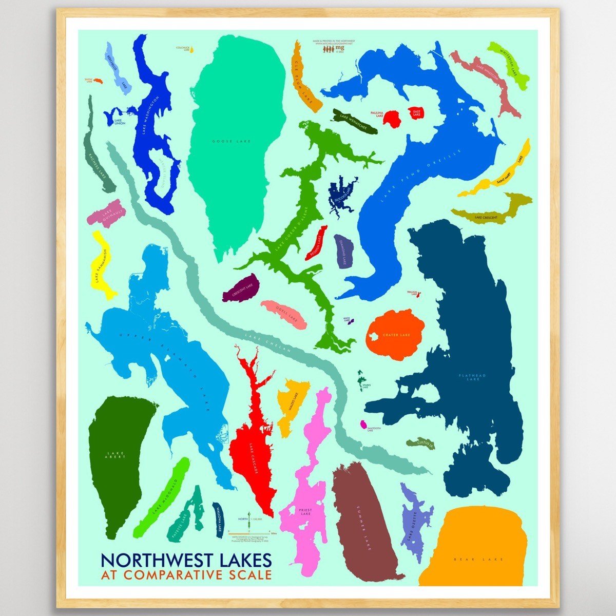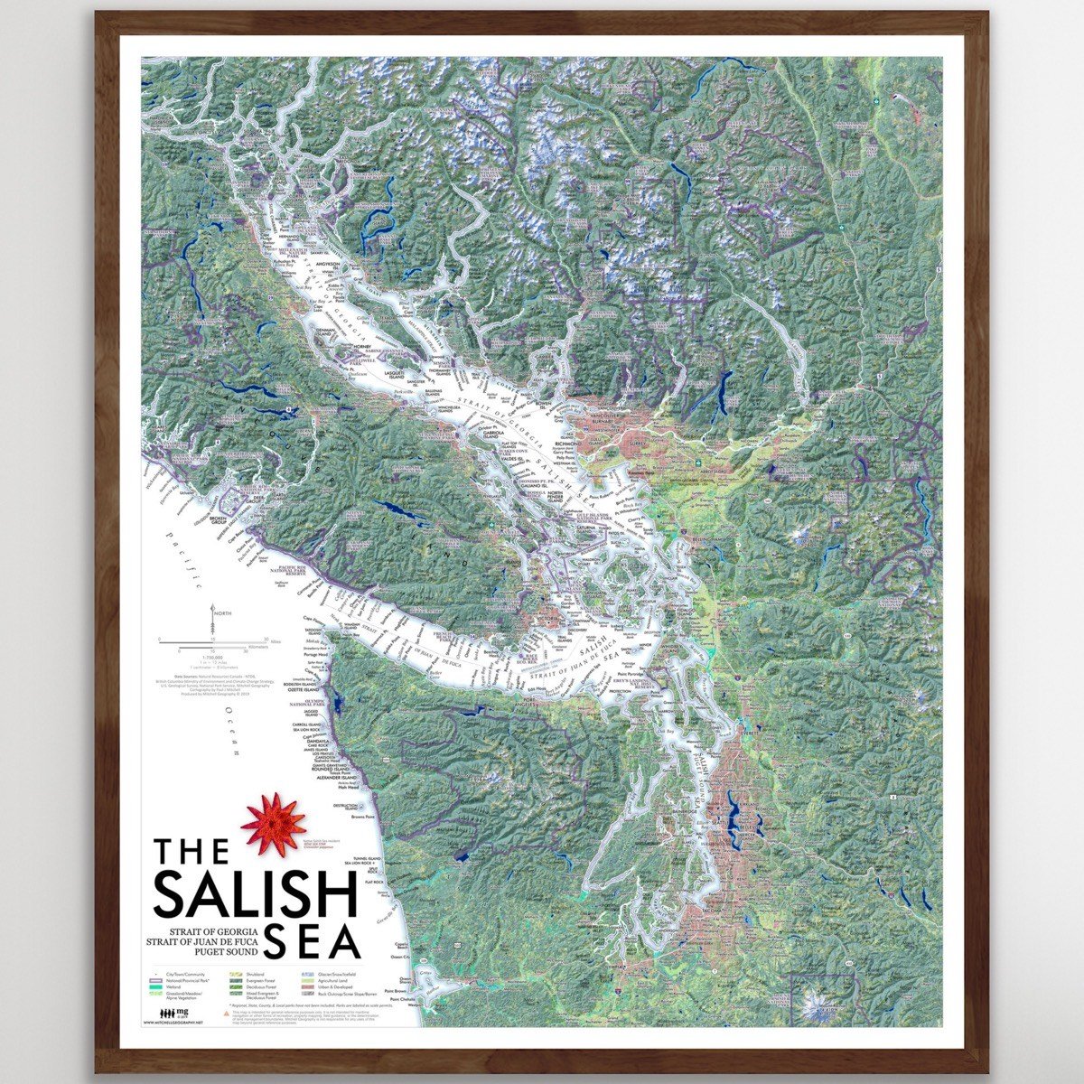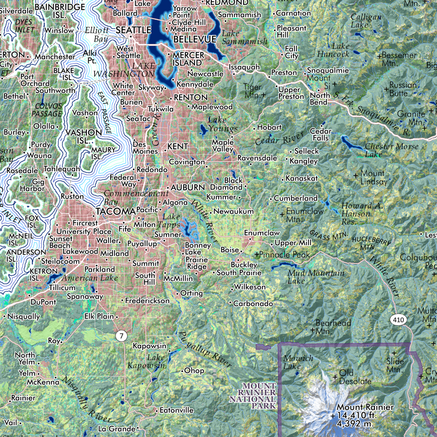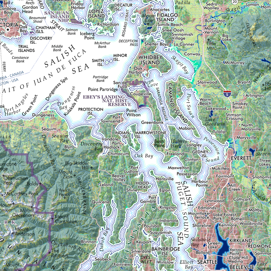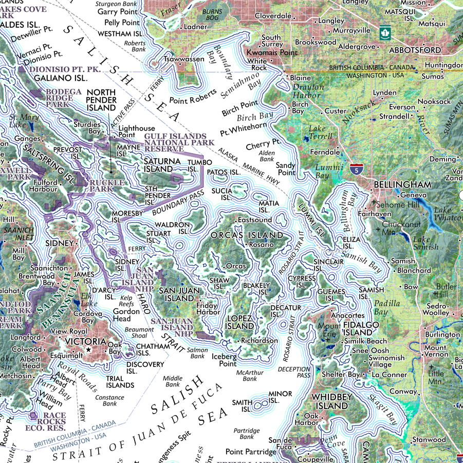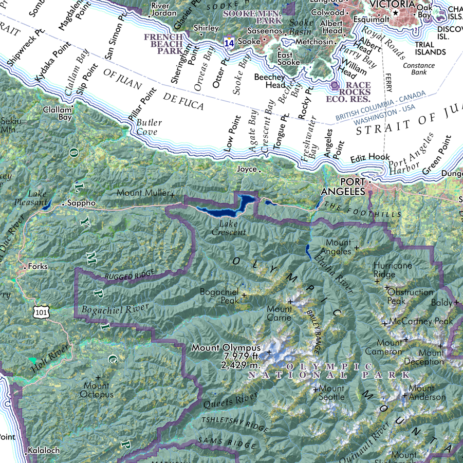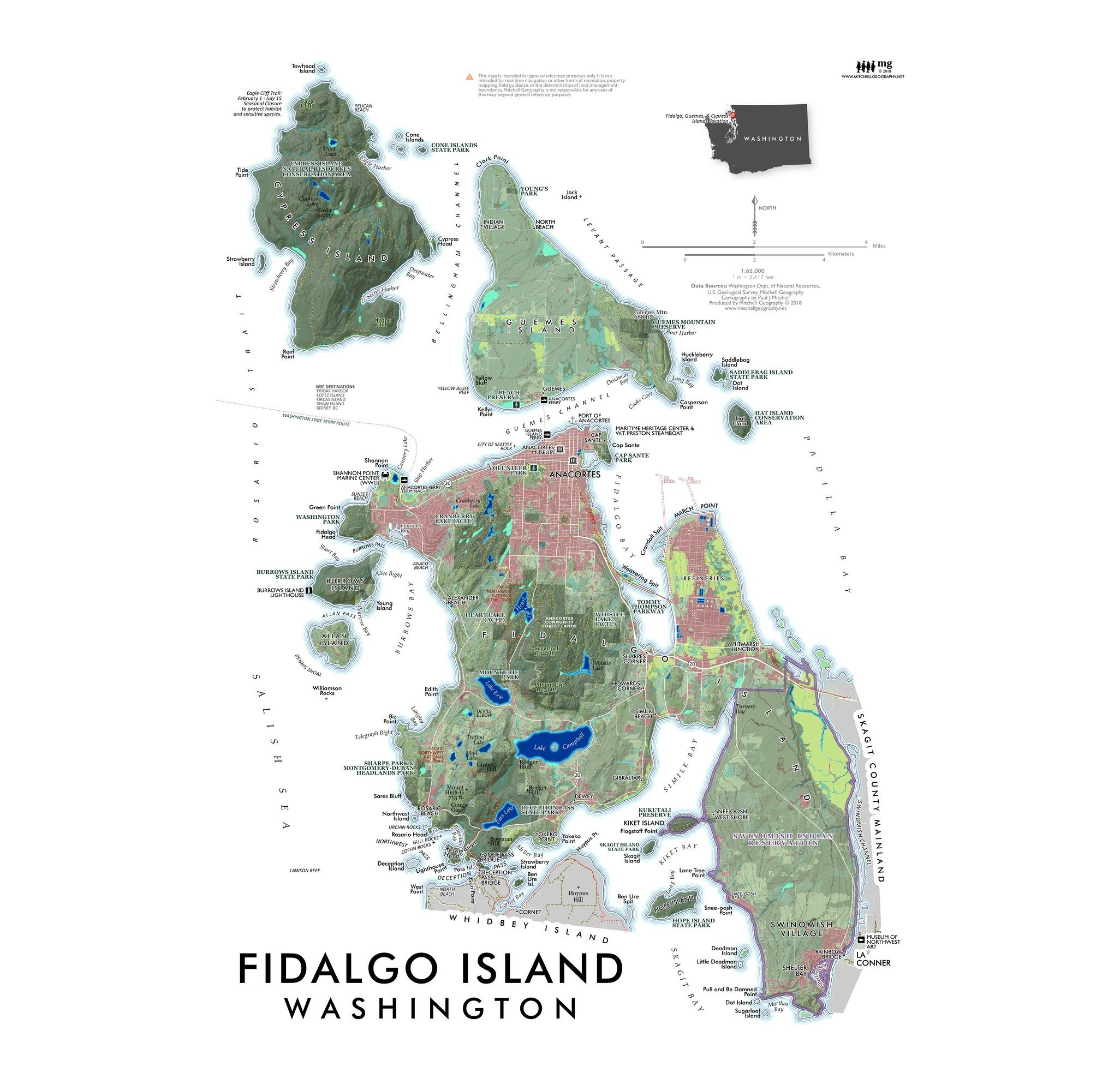
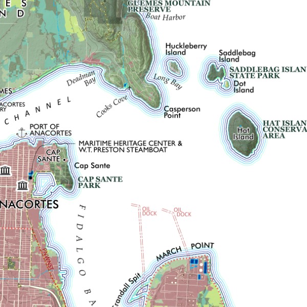
Fidalgo Island Washington (19 in x 13 in)
1:65,000
13 inch by 19 inch flat wall map, printed on heavy fine paper. Packed and shipped flat.
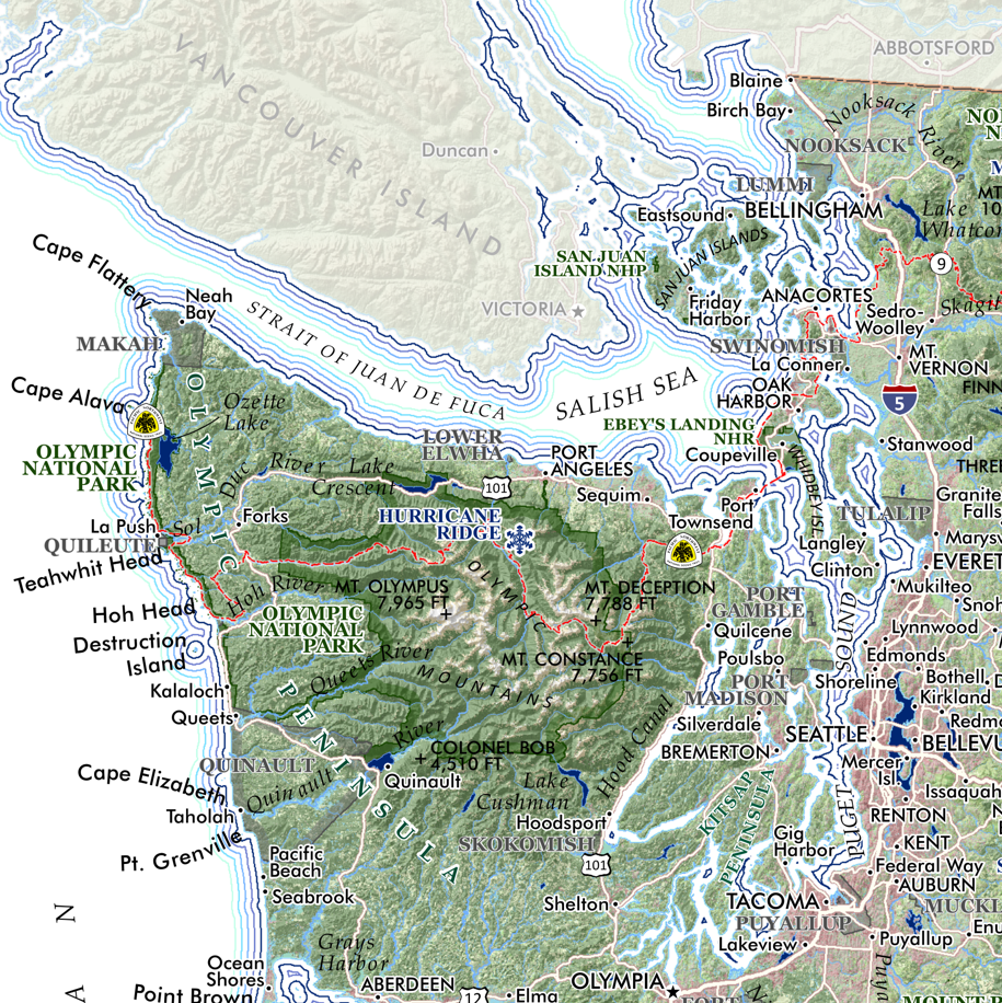
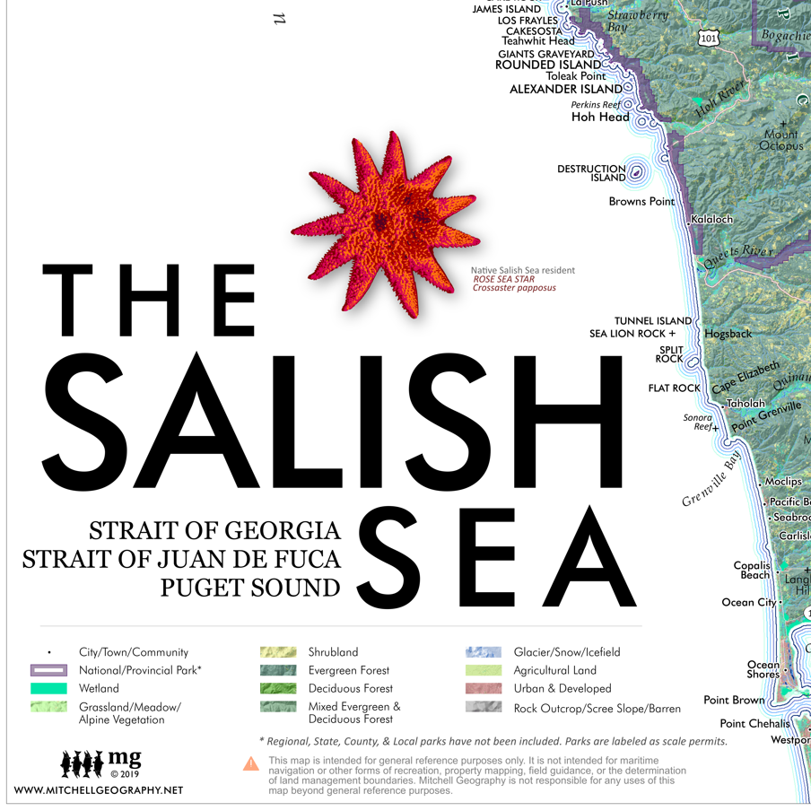
Overview wall map of Fidalgo Island with neighboring Guemes and Cypress Islands! Lesser isles, rocks, bars, bays, lakes, trails, populated places, and features of interest are mapped for reference. Significant parks and preserves are mapped and labeled with trail systems included.
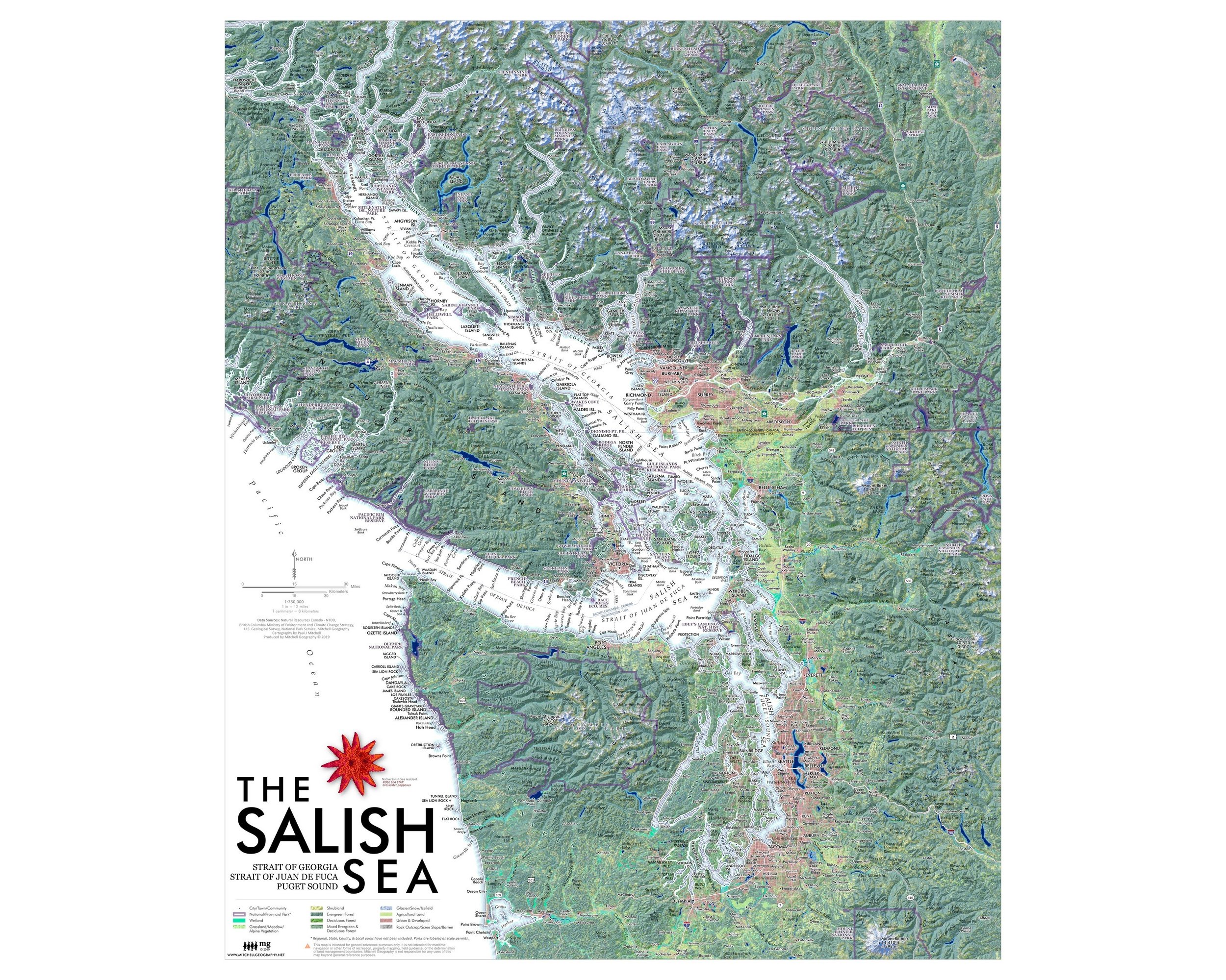
1:65,000
13 inch by 19 inch flat wall map, printed on heavy fine paper. Packed and shipped flat.
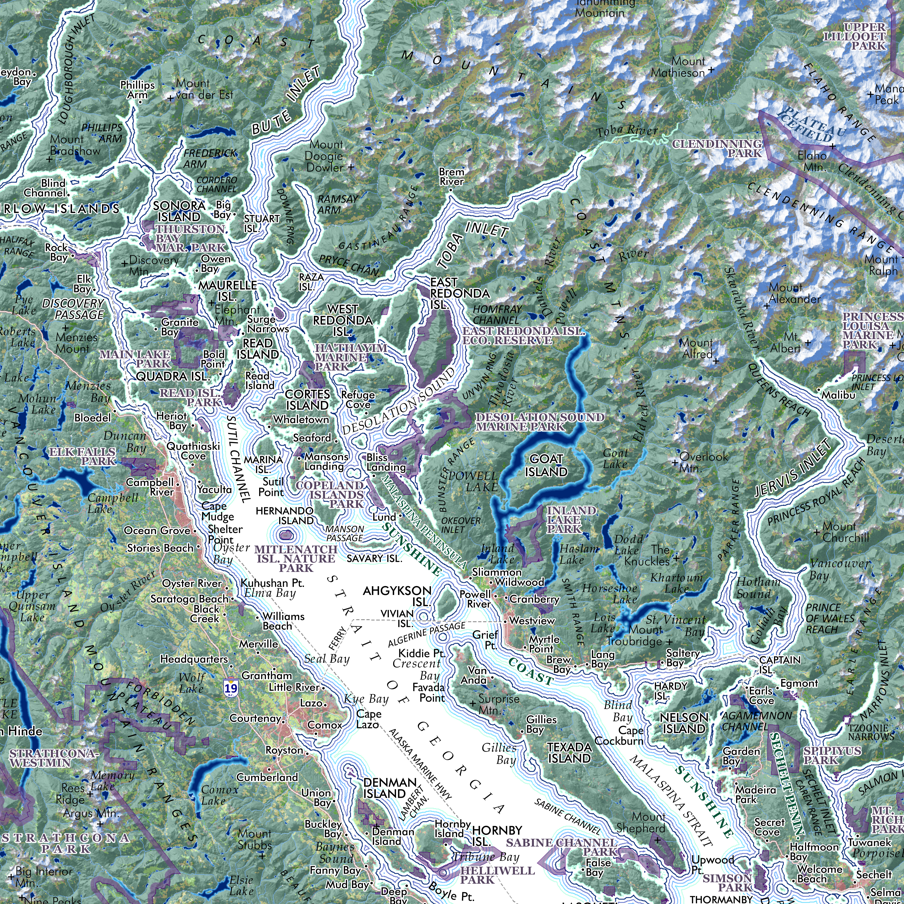
Overview wall map of Fidalgo Island with neighboring Guemes and Cypress Islands! Lesser isles, rocks, bars, bays, lakes, trails, populated places, and features of interest are mapped for reference. Significant parks and preserves are mapped and labeled with trail systems included.
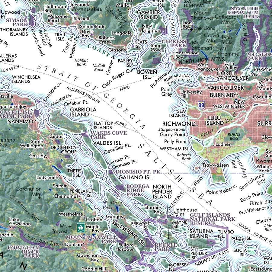
1:65,000
13 inch by 19 inch flat wall map, printed on heavy fine paper. Packed and shipped flat.
Overview wall map of Fidalgo Island with neighboring Guemes and Cypress Islands! Lesser isles, rocks, bars, bays, lakes, trails, populated places, and features of interest are mapped for reference. Significant parks and preserves are mapped and labeled with trail systems included.