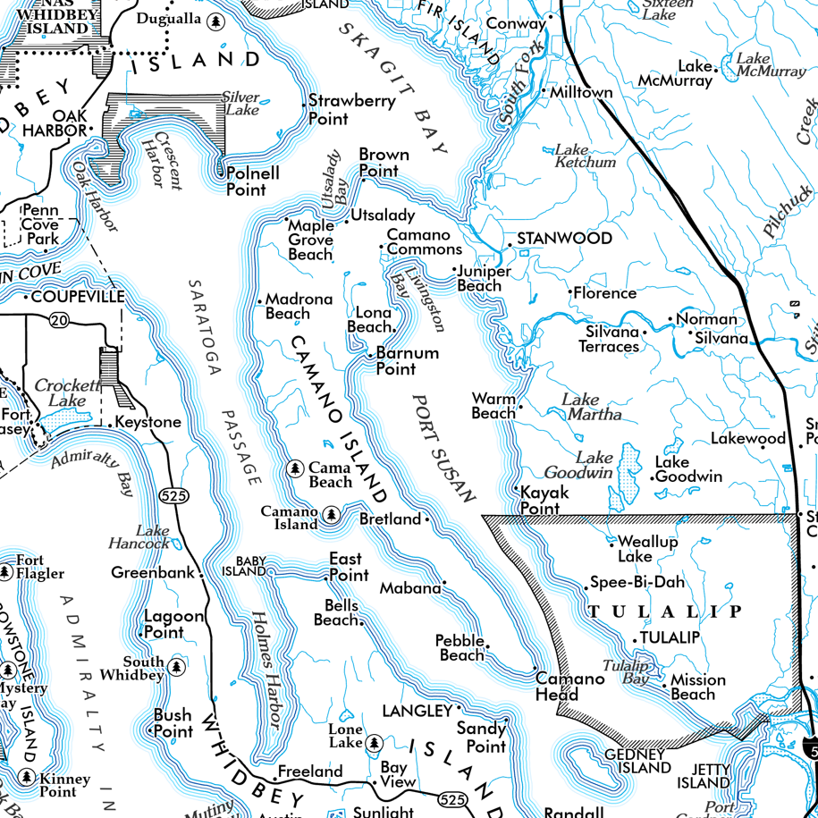
 Image 1 of 10
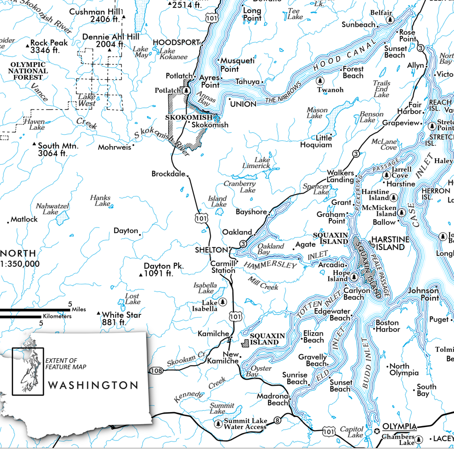
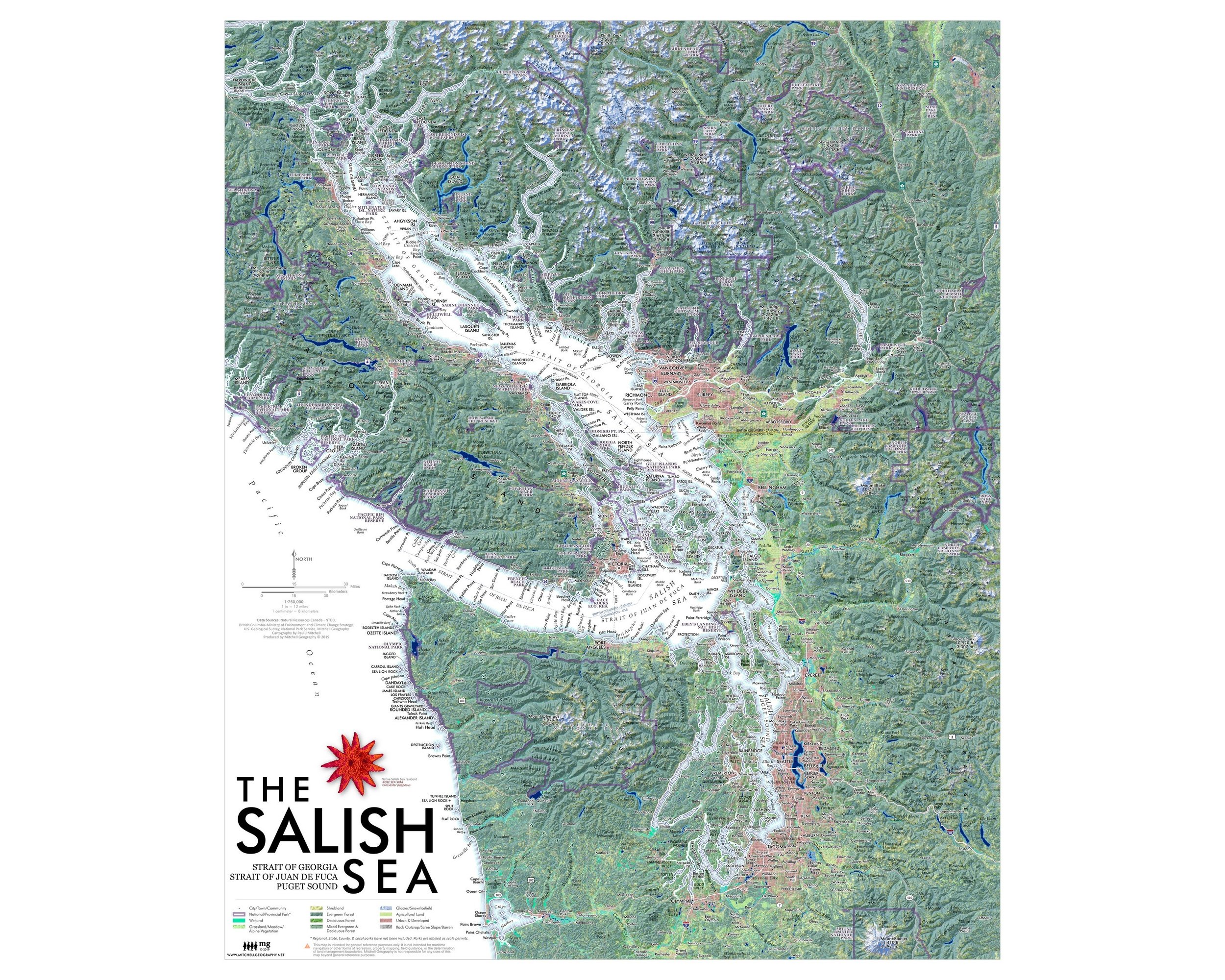 Image 2 of 10
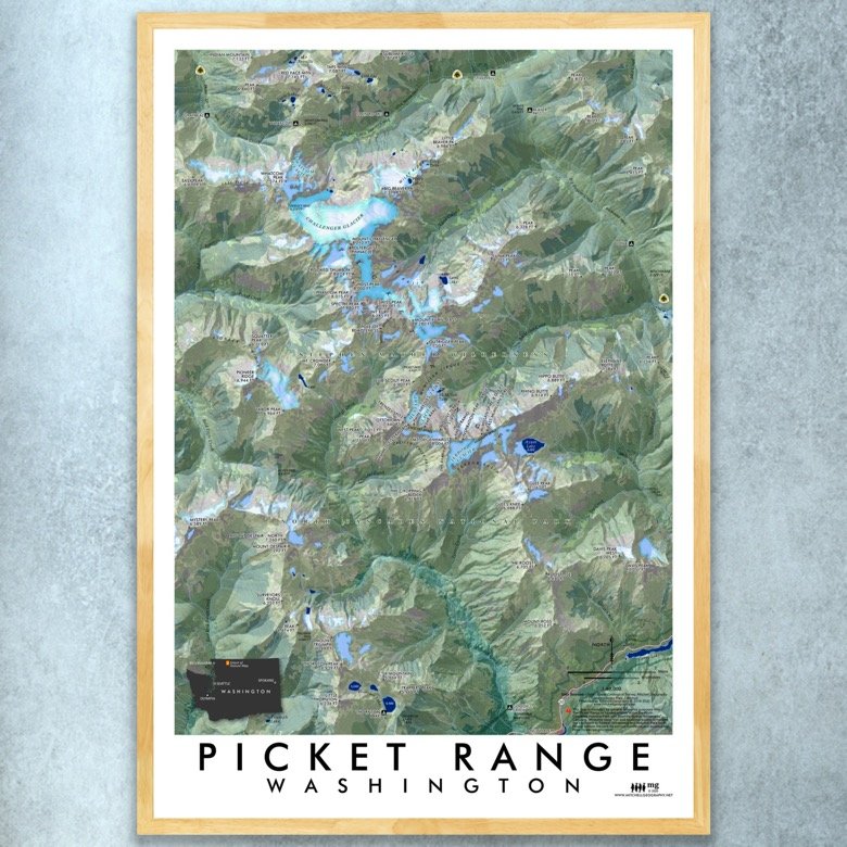
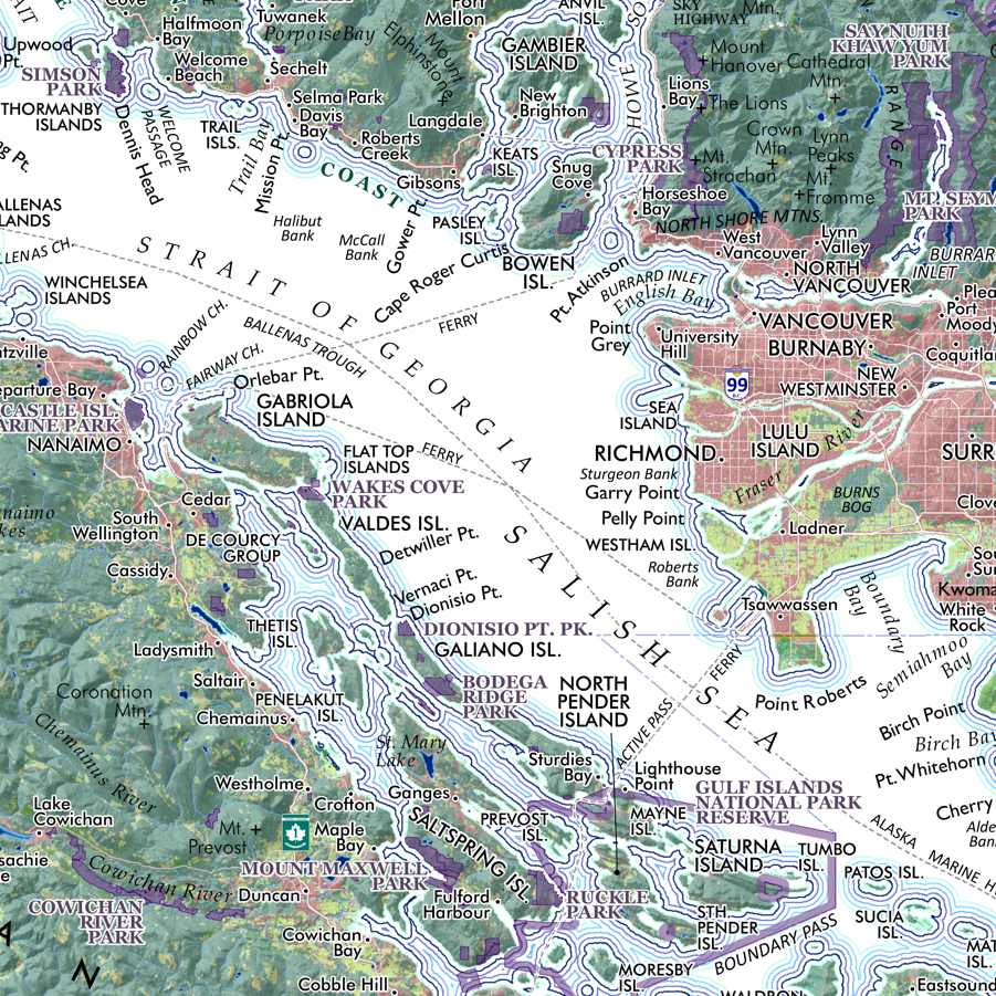 Image 3 of 10
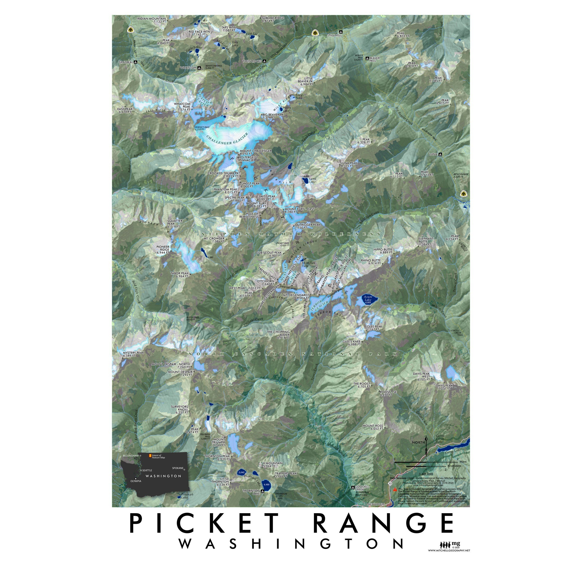
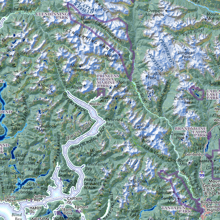 Image 4 of 10
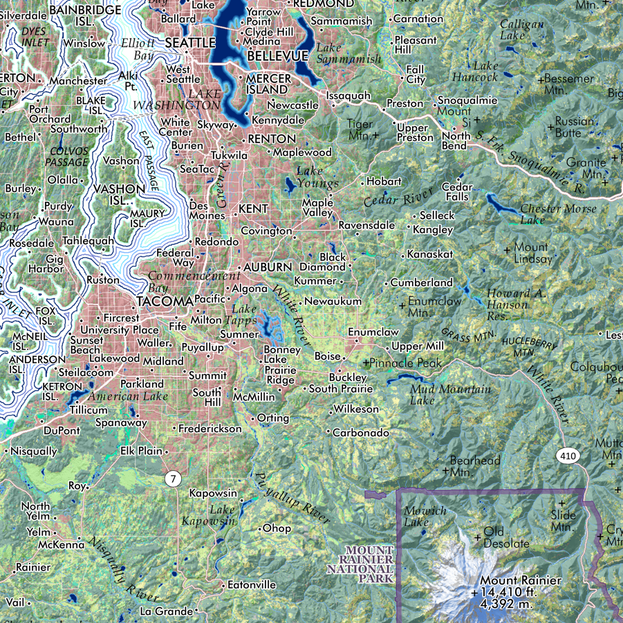 Image 5 of 10
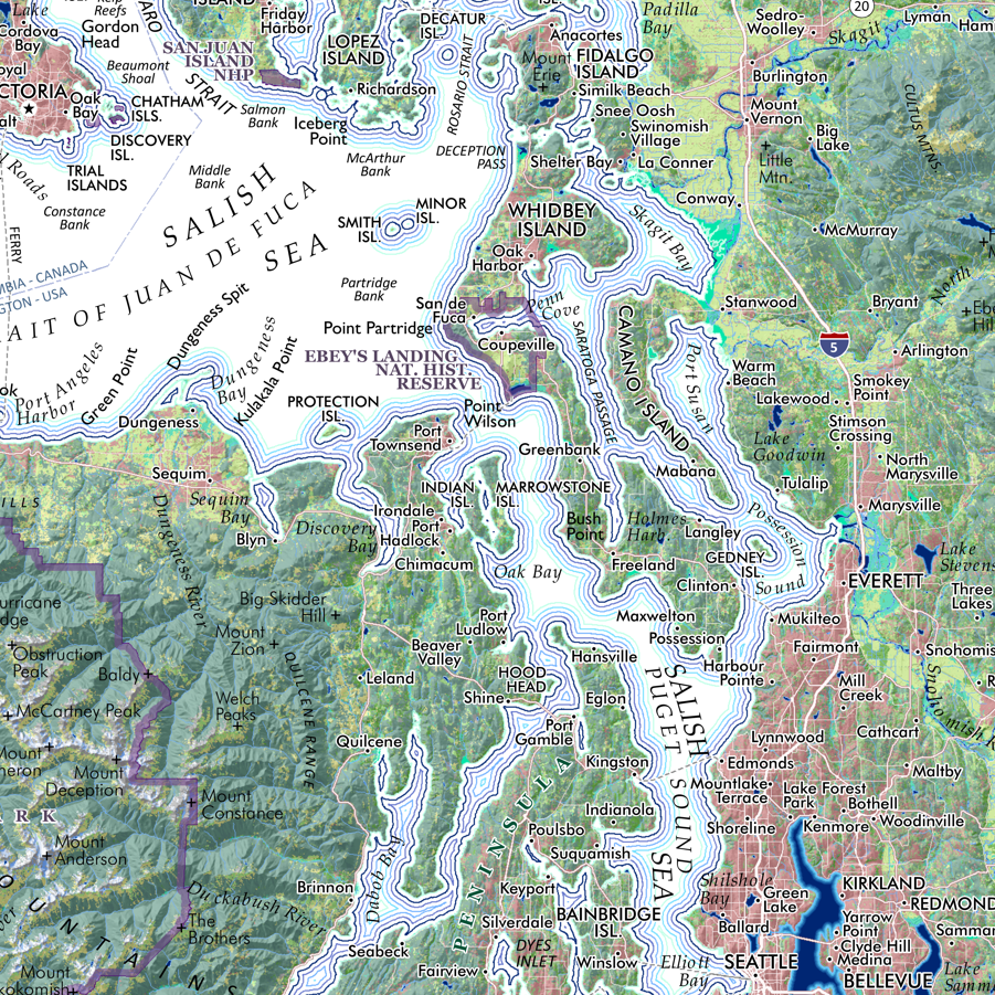 Image 6 of 10
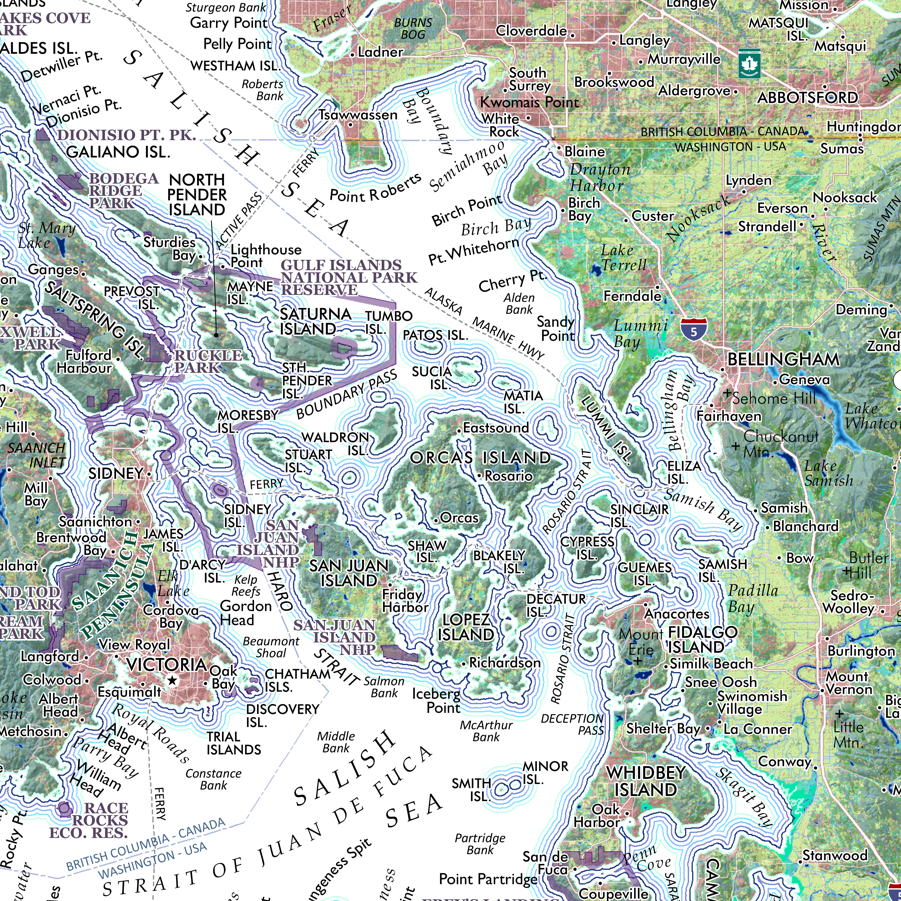 Image 7 of 10
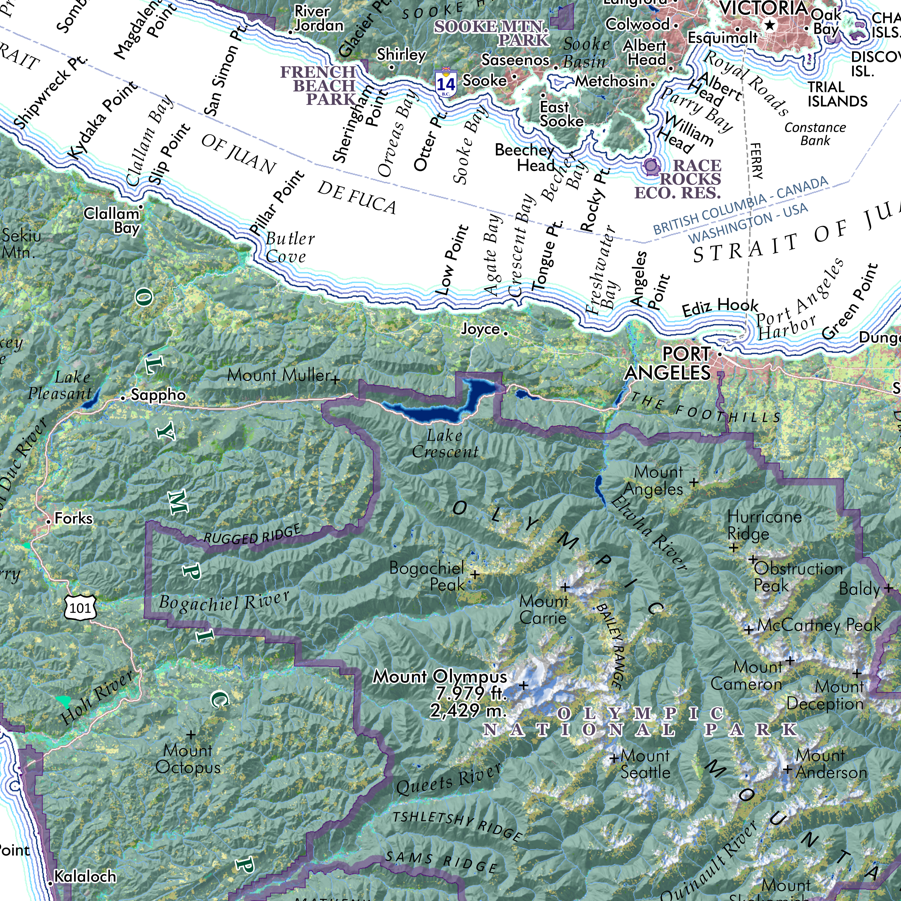 Image 8 of 10
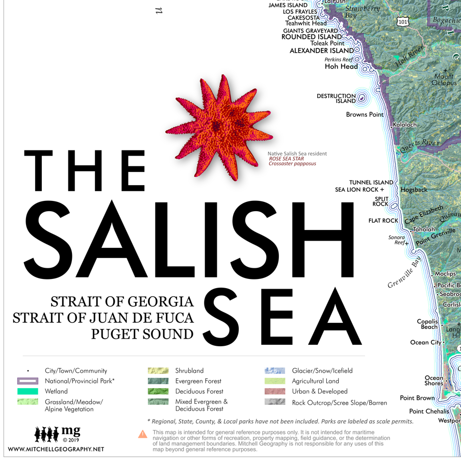 Image 9 of 10
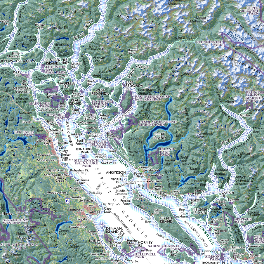 Image 10 of 10
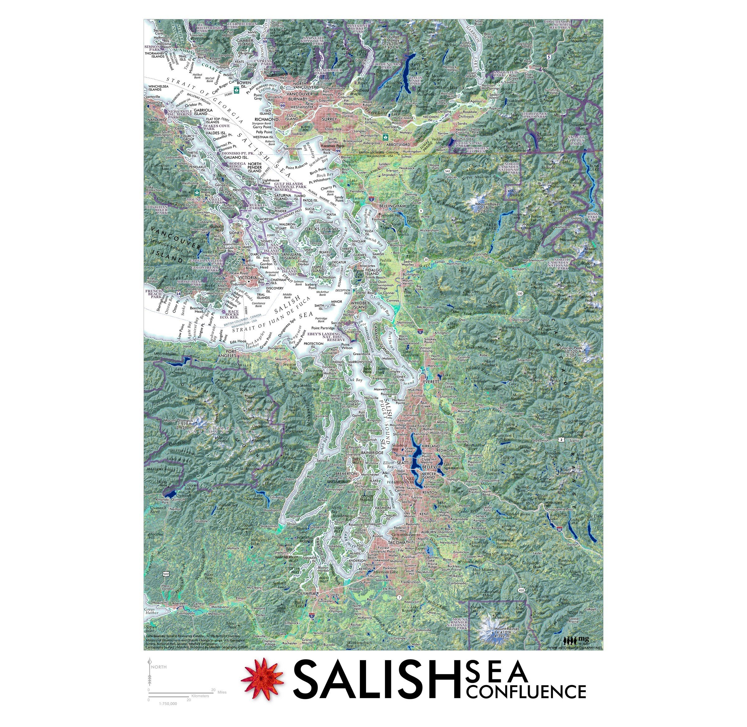
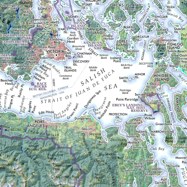
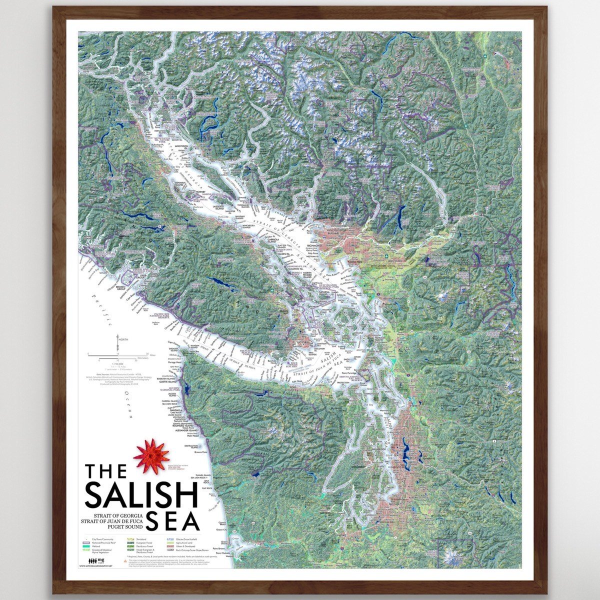
Salish Sea (24 in x 20 in)
$34.00

Salish Sea (GEOFOLD)
$5.95
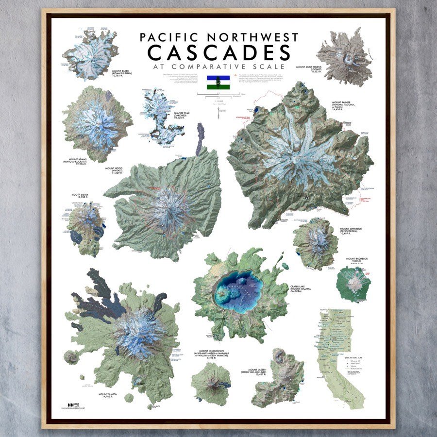
PNW Cascades (24 in x 20 in)
$34.00

Cascades (GEOFOLD)
$5.95